AsphaltPlanet.ca > California > SR-198
Pictures on this page are arranged in order from west to east. CA-198 East photos are left-aligned in the last column, while CA-198 West photos are right-aligned. Center-line pictures are centered within the last column.
|
Location |
Description |
Photo |
||
|
East- |
West- |
|||
|
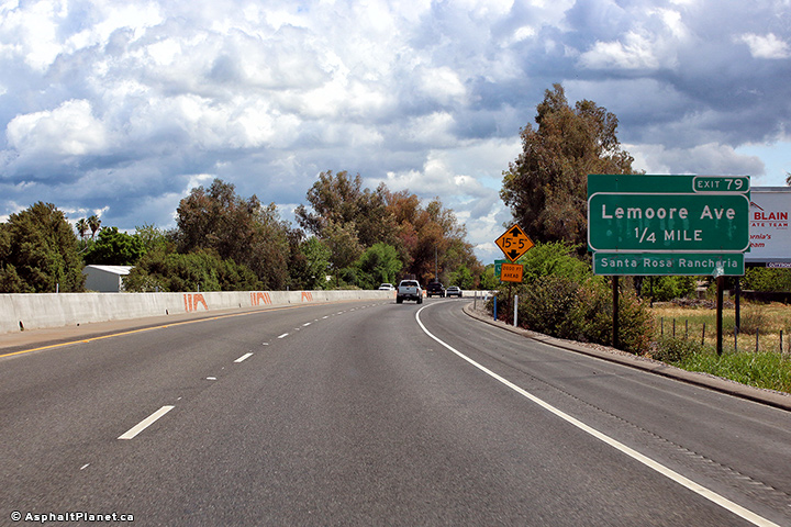
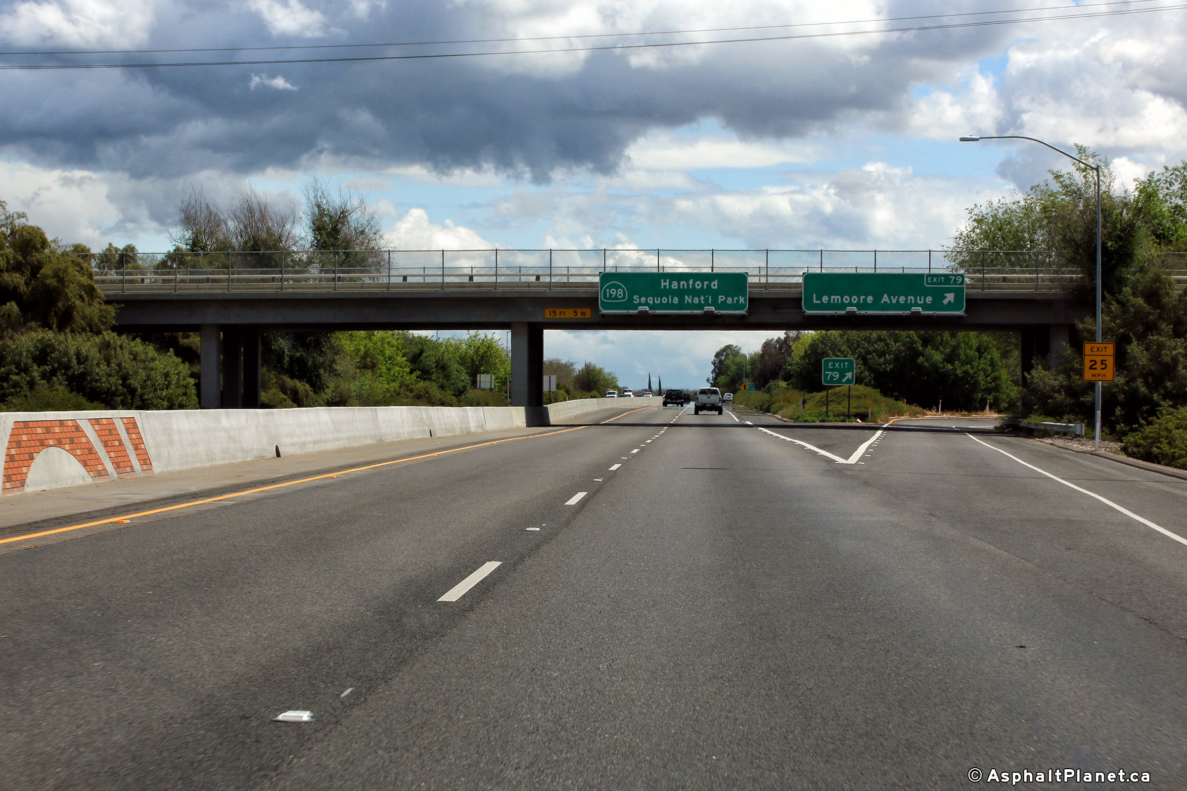
Kings County |
Eastbound signage approaching the off-ramp to Lemoore Avenue. |
 |
||
|
Date: 4/13/2017 |
High-res: (1440x960) (2400x1600) |
|||
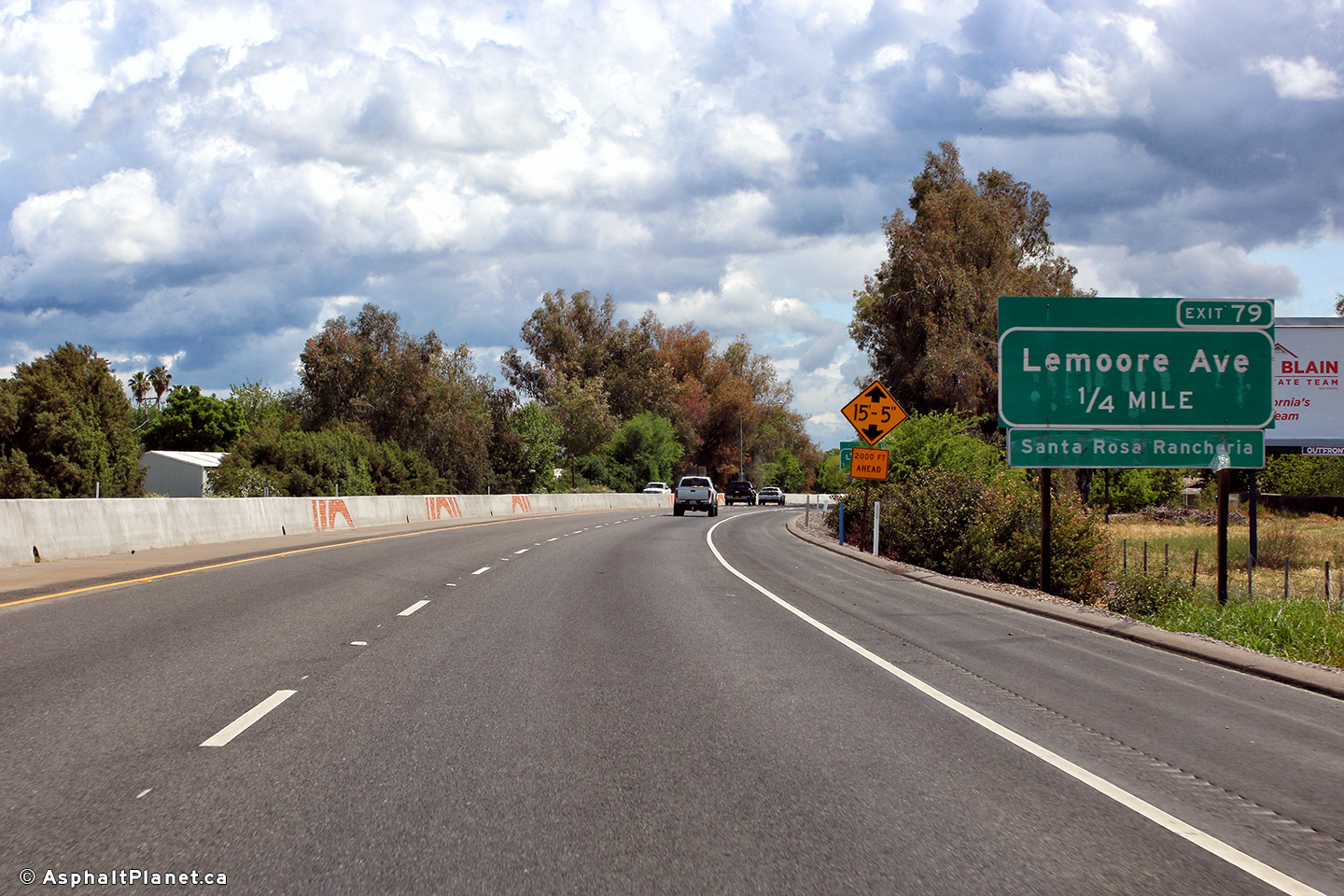
|
Kings County |
Signage at the eastbound off-ramp to Lemoore Avenue. |
 |
||
|
Date: 4/13/2017 |
High-res: (1440x960) (2400x1600) |
|||
|
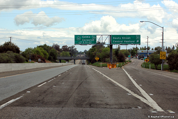
Kings County |
Signage at the eastbound off-ramp to Douty Street. |
 |
||
|
Date: 4/13/2017 |
High-res: (1440x960) (2400x1600) |
|||
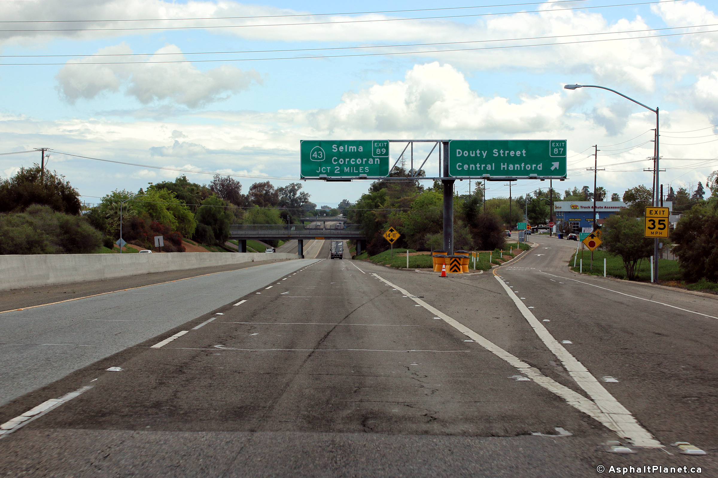
|
Kings County |
Eastbound advanced signage approaching the SR-43 interchange. |
 |
||
|
Date: 4/13/2017 |
High-res: (1440x960) (2400x1600) |
|||
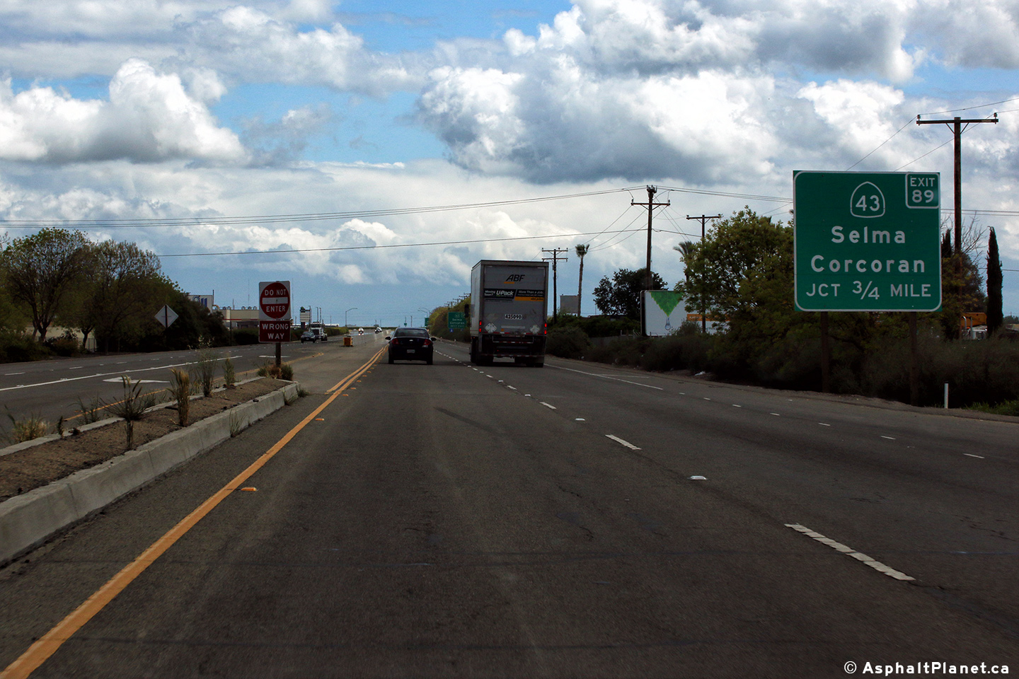
|
Kings County |
Easterly view at the off-ramp to SR-43. |
 |
||
|
Date: 4/13/2017 |
High-res: (1440x960) (2400x1600) |
|||
|
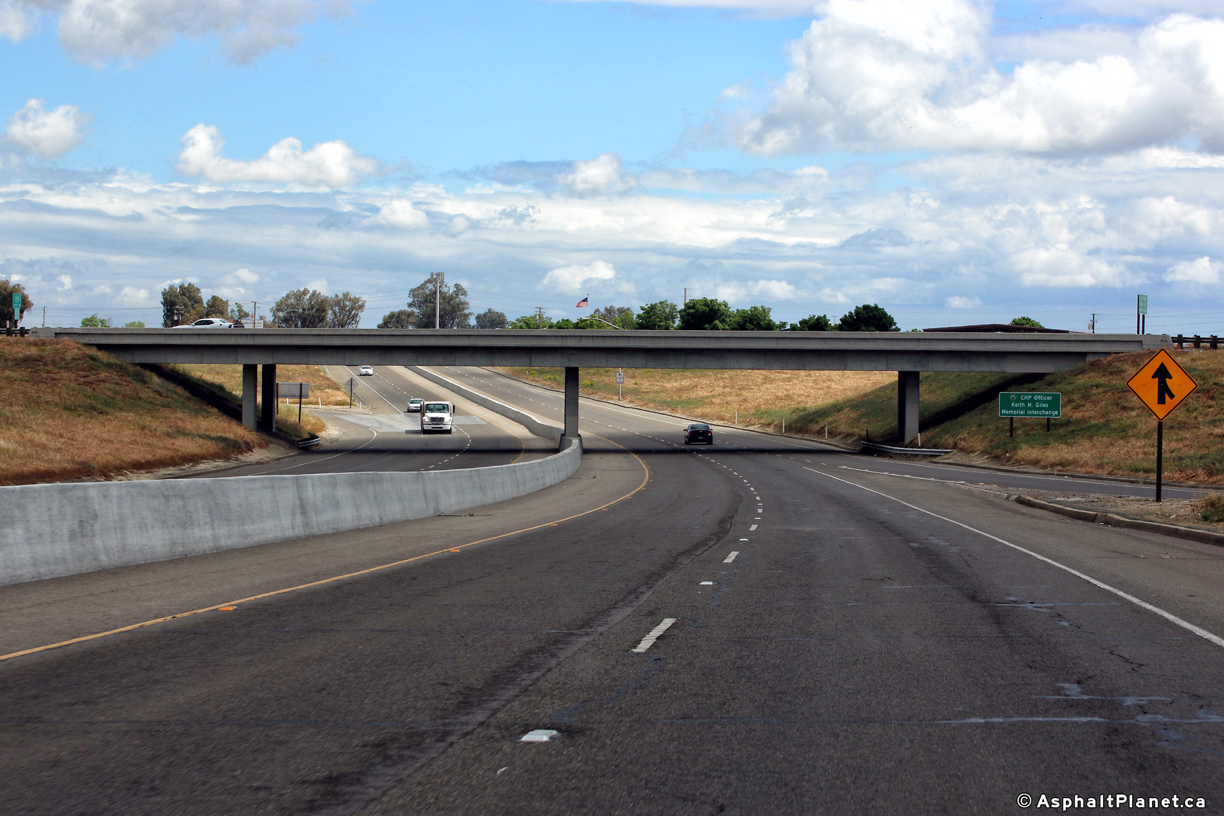
Kings County |
Easterly view as the freeway passes beneath the SR-43 overpass. |
 |
||
|
Date: 4/13/2017 |
High-res: (1440x960) (2400x1600) |
|||
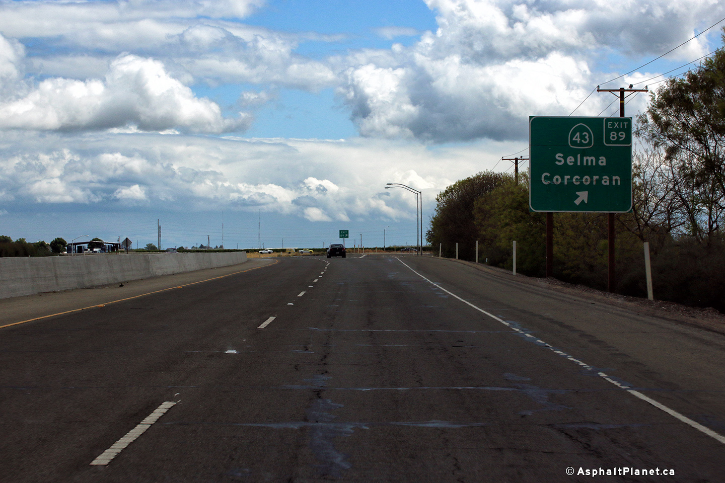
|
Kings County |
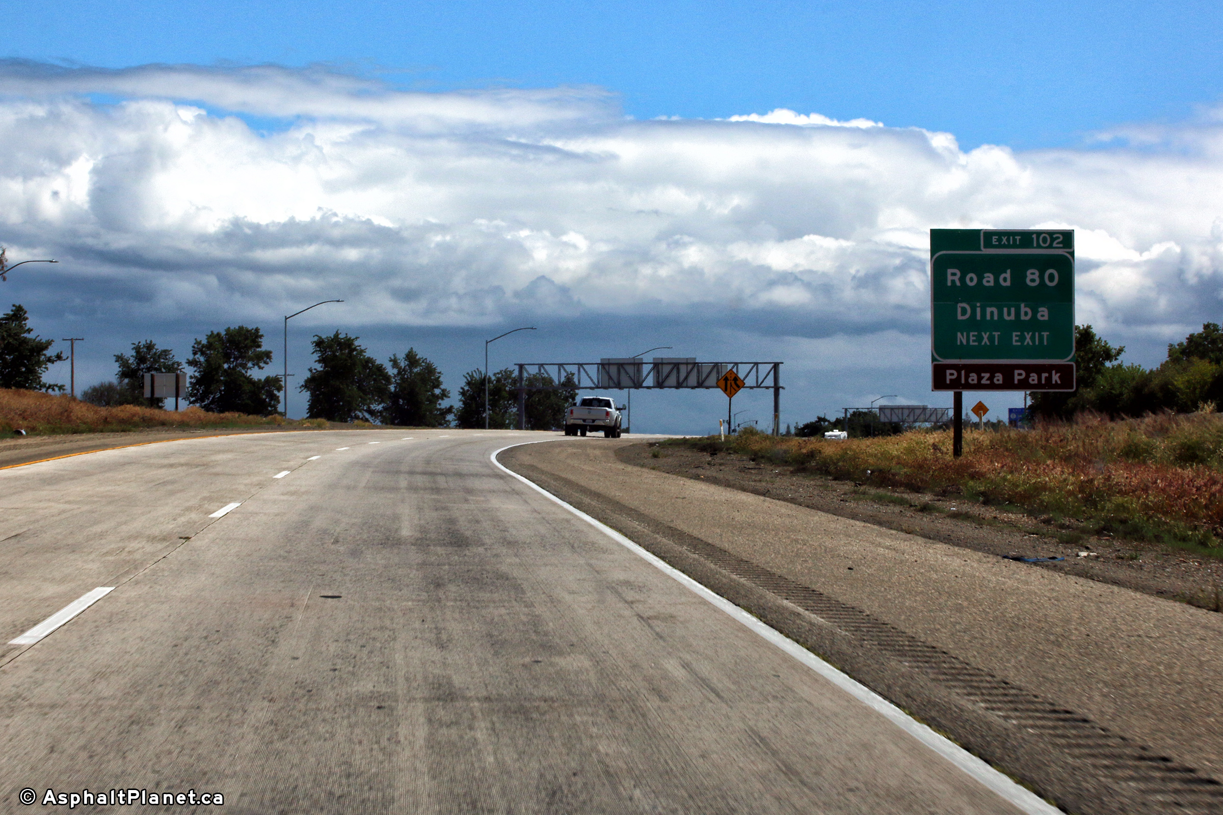
Eastbound distance signage situated just east of the SR-43 interchange. |
 |
||
|
Date: 4/13/2017 |
High-res: (1440x960) (2400x1600) |
|||
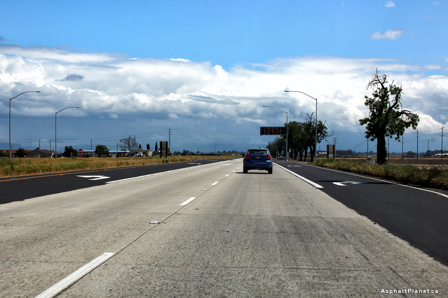
|
Tulare County |
Easterly view along SR-198 approaching the Seventeenth Avenue intersection. |
 |
||
|
Date: 4/13/2017 |
High-res: (1440x960) (2400x1600) |
|||
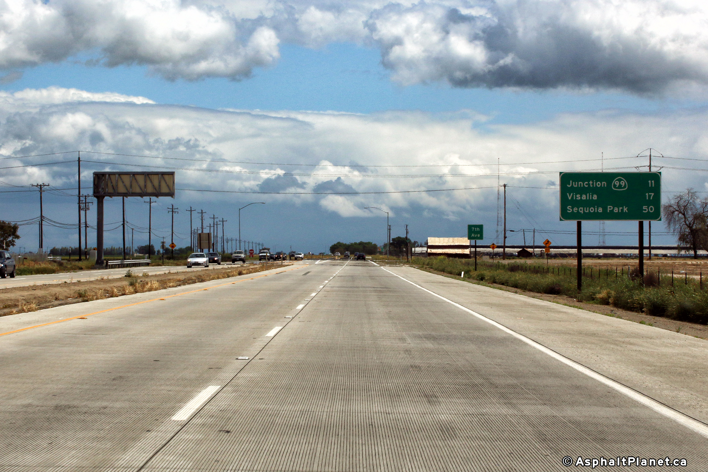
|
Tulare County |
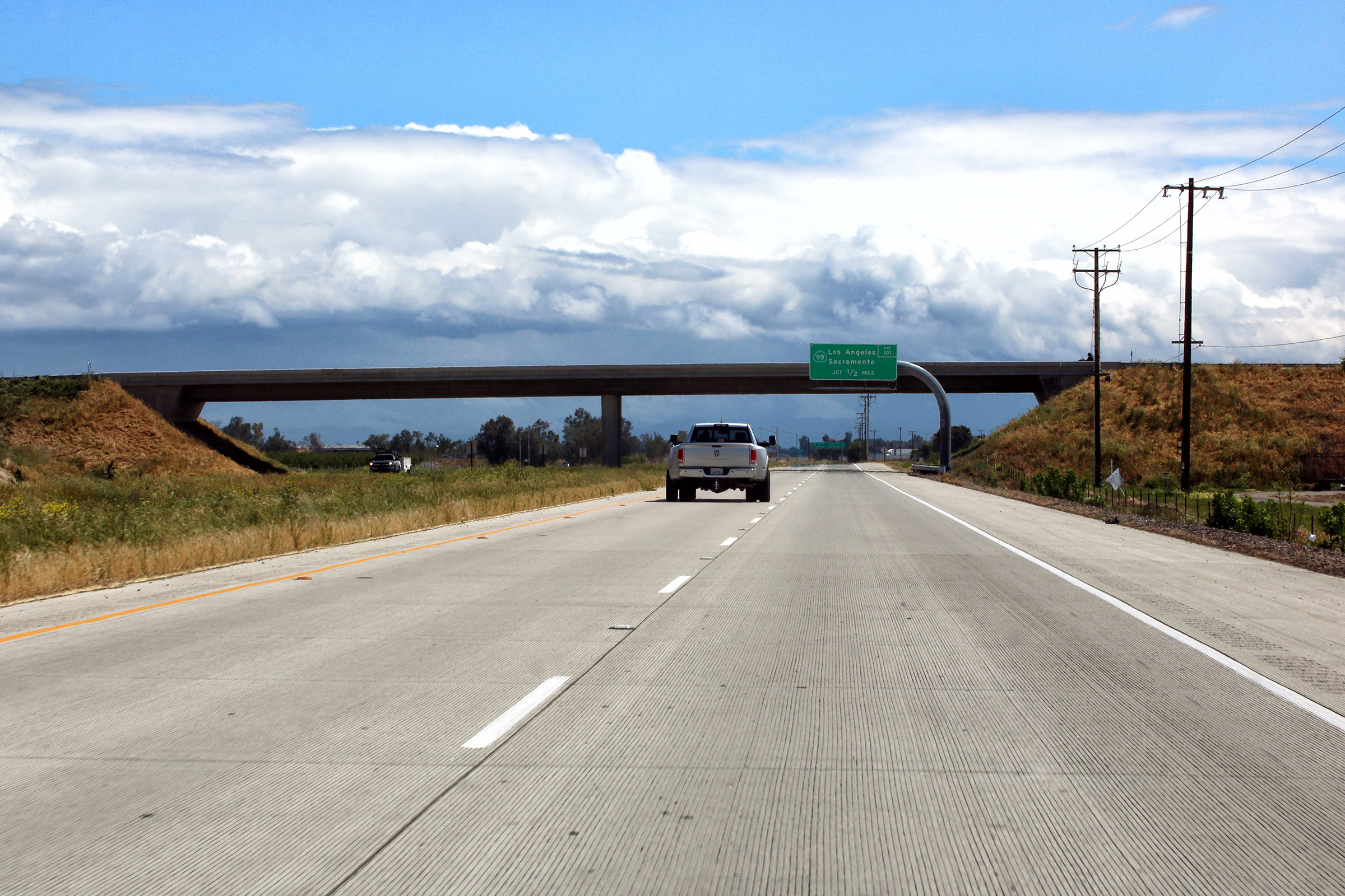
Eastbound advanced signage approaching the SR-99 interchange. |
 |
||
|
High-res: (1440x960) (2400x1600) |
||||
 |
||||
|
Date: 4/13/2017 |
High-res: (1440x960) (2400x1600) |
|||
|
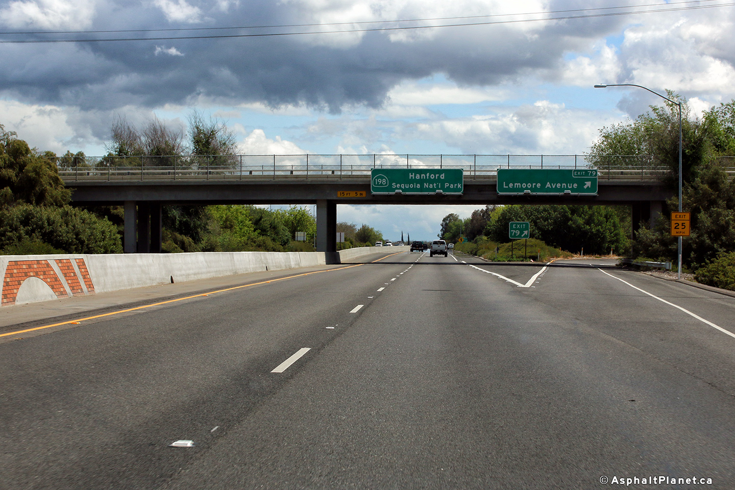
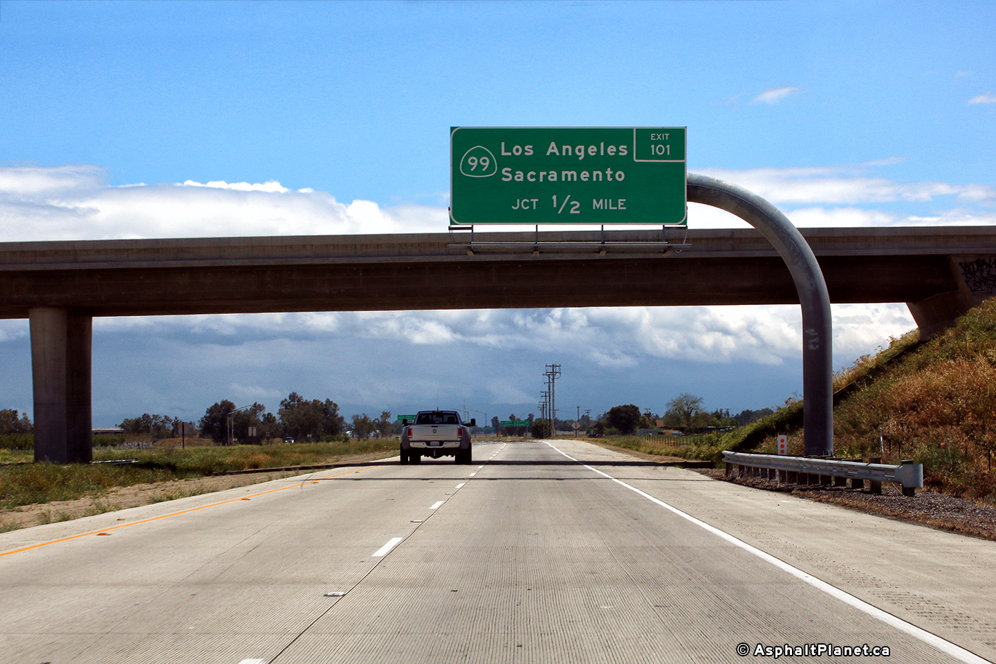
Tulare County |
Next exit signage for the off-ramp to SR-99. |
 |
||
|
Date: 4/13/2017 |
High-res: (1440x960) (2400x1600) |
|||
|
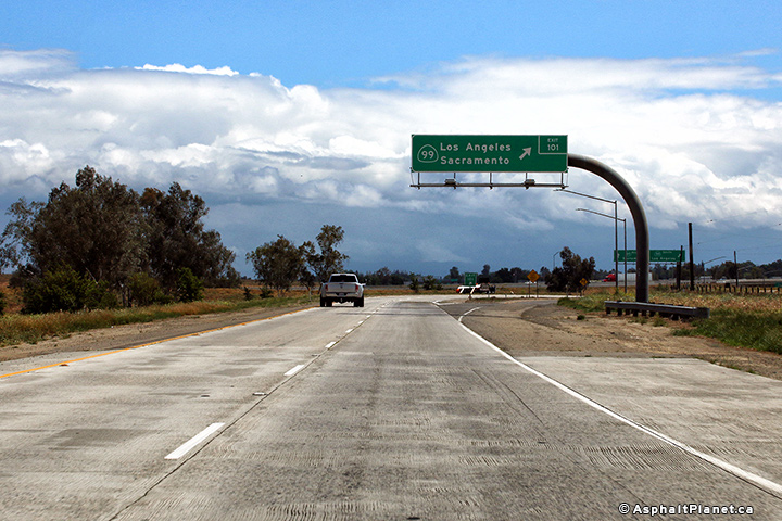
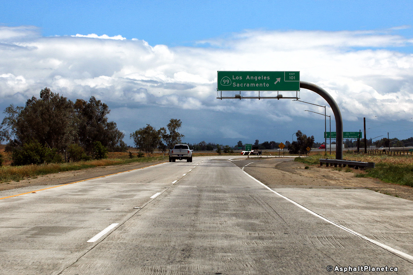
Tulare County |
Signage at the eastbound off-ramp to SR-99. |
 |
||
|
Date: 4/13/2017 |
High-res: (1440x960) (2400x1600) |
|||
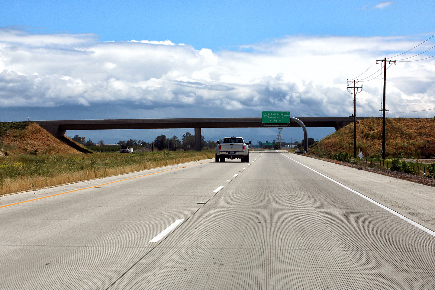
|
Tulare County |
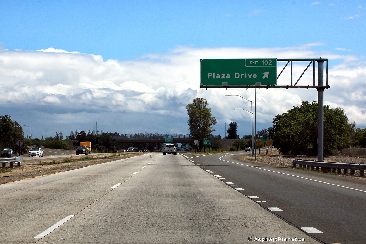
Advanced signage for the Plaza Drive interchange has been affixed to the structure that carries SR-99 overtop of the 198 Freeway. |
 |
||
|
Date: 4/13/2017 |
High-res: (1440x960) (2400x1600) |
|||
| CA-99 is the principal north-south freeway through California's Central Valley. Click here for CA-99 Images. | ||||
|
Tulare County |
Signage advising westbound motorists of the long hill ahead. |
 |
||
|
Date: 4/13/2017 |
High-res: (1440x960) (2400x1600) |
|||
|
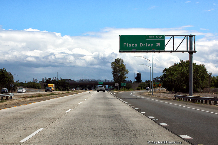
Tulare County |
Signage at the eastbound off-ramp to Plaza Drive. Plaza Drive is the first interchange east of the SR-99 interchange. |
 |
||
|
Date: 4/13/2017 |
High-res: (1440x960) (2400x1600) |
|||
|
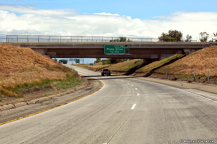
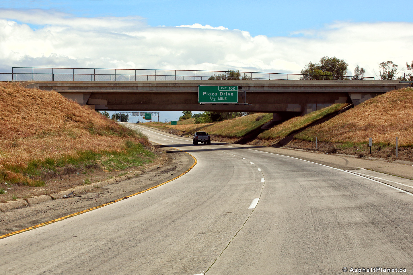
Tulare County |
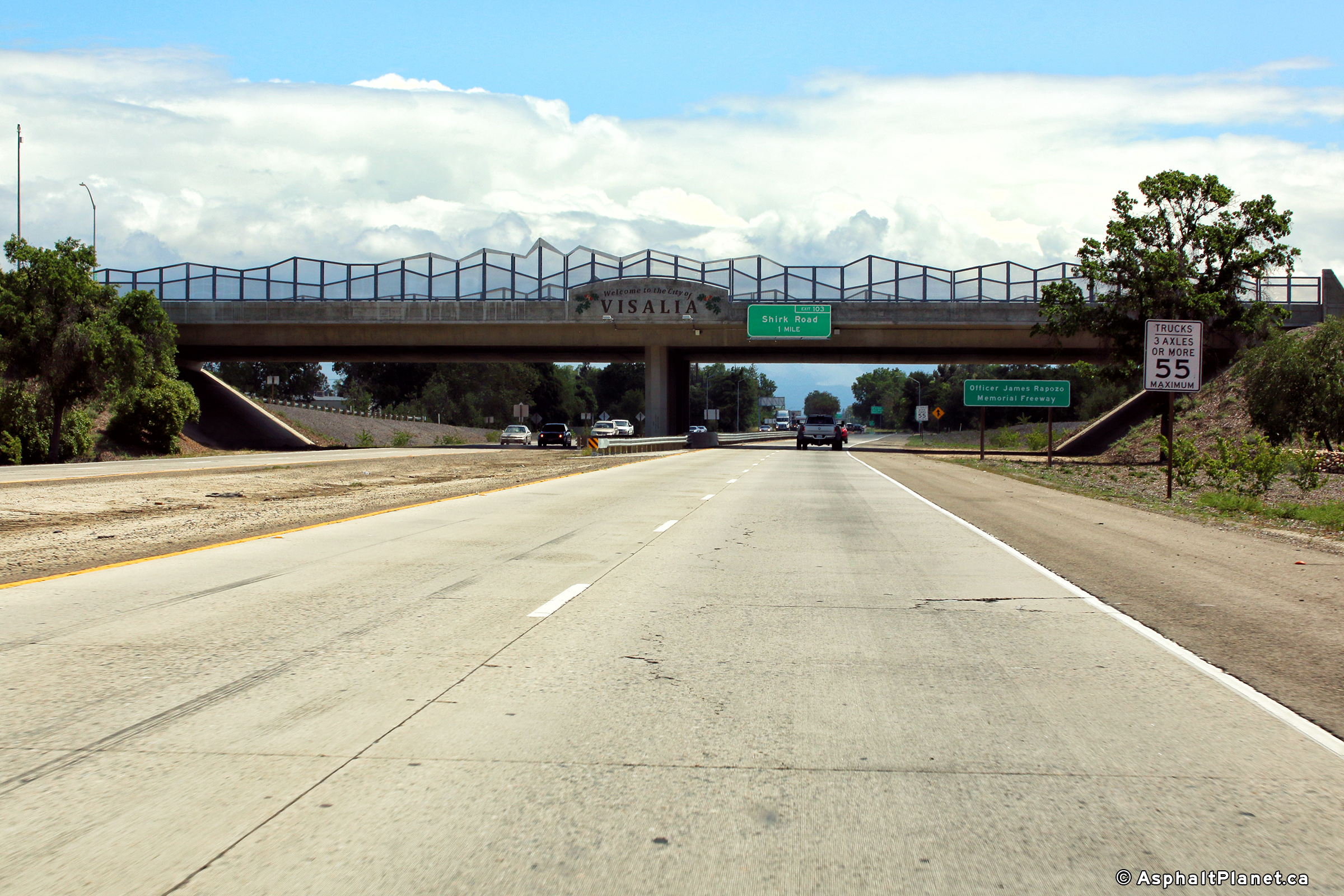
Easterly view as SR-198 passes beneath the Plaza Drive overpass. Presumably, the fencing on the overpass is designed to look like the Sierra Nevada Mountain Range visible looking over SR-198 in the distance. |
 |
||
|
Date: 4/13/2017 |
High-res: (1440x960) (2400x1600) |
|||
<- CA-197
CA Highways
CA-200 ->
AsphaltPlanet.ca
© 2010 AsphaltPlanet.ca.
Scott@asphaltplanet.ca
Page Created: November 5, 2017.
Last Updated: November 5, 2017.