AsphaltPlanet.ca > Connecticut > Interstate 91
Pictures on this page are arranged in order from south to north. I-91North photos are
left-aligned in the last column, while I-91 South photos are right-aligned.
Center-line pictures are centered within the last column.
|
Location |
Description |
Photo |
||
|
North- |
South- |
|||
|
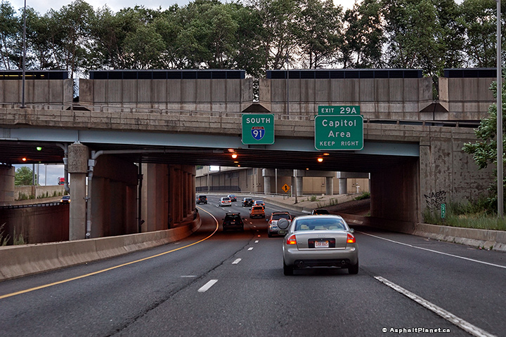
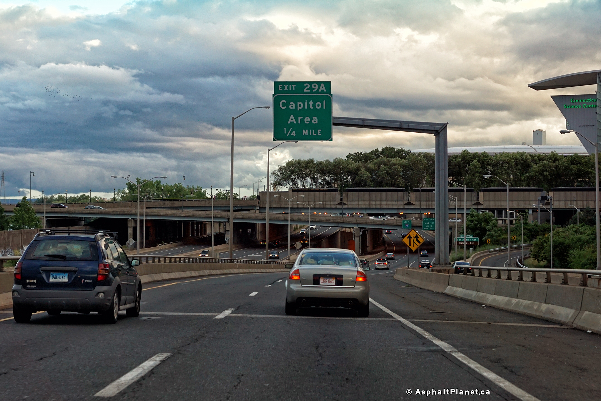
Hartford County |
View looking southerly at the southbound off-ramp to the Capitol Area of Connecticut. |
 |
||
|
Date: 7/10/2016 |
High-res: (1440x960) (2400x1600) | |||
|
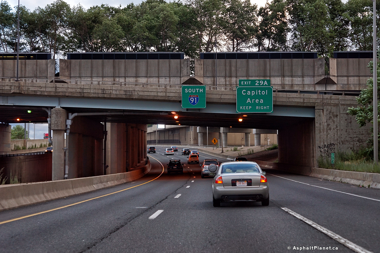
Hartford County |
View looking southerly as I-91 passes beneath the Founders Bridge that carries Connecticut Highway 2 into Downtown Hartford. |
 |
||
|
Date: 7/10/2016 |
High-res: (1440x960) (2400x1600) | |||
|
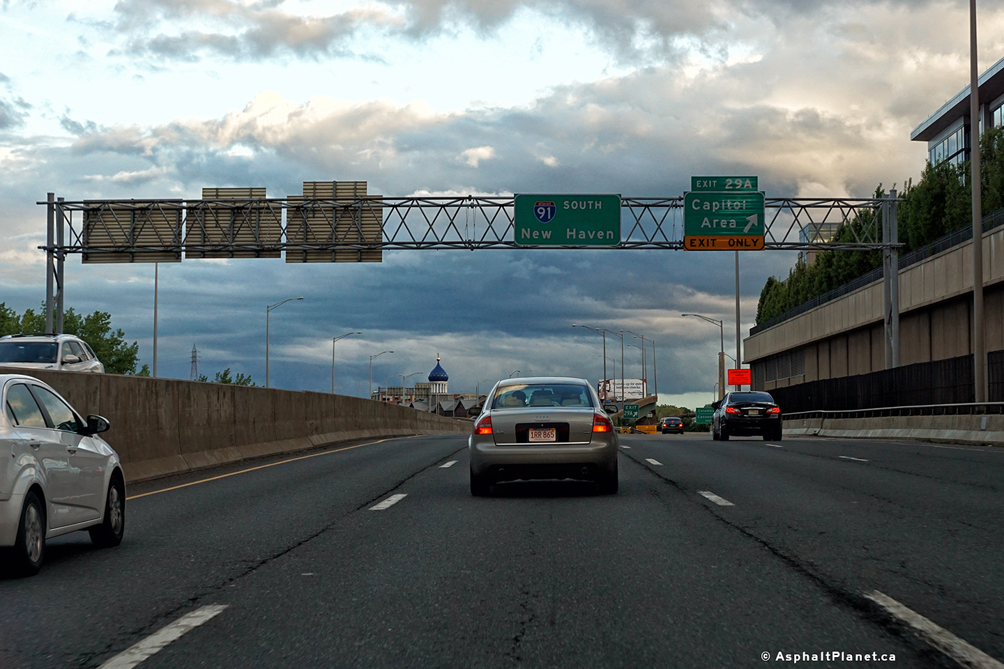
Hartford County |
Southbound advanced signage for the ramp to the Capitol Area. Though it is not signed, the exit to the Capitol Area actually leads to the Whitehead Highway. |
 |
||
|
Date: 7/10/2016 |
High-res: (1440x960) (2400x1600) | |||
|
Interstate 84 is one of the principal east-west routes through southern New England. Click here for Interstate 84 images. |
||||
|
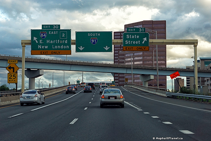
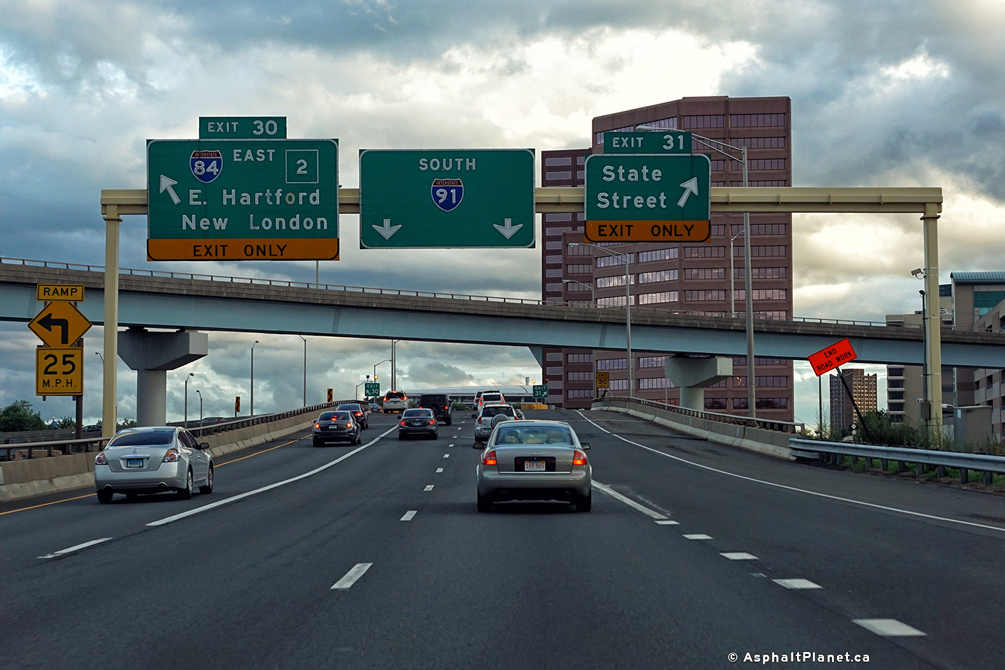
Hartford County |
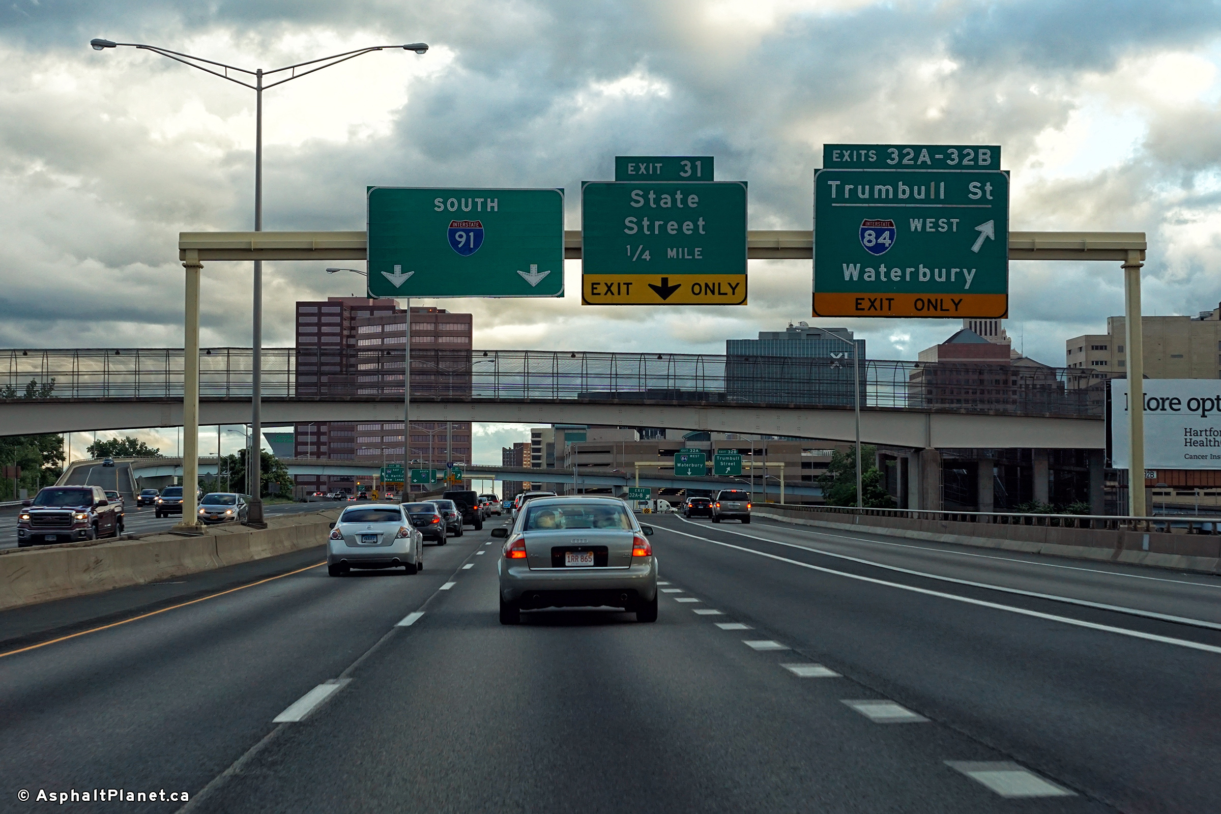
Southerly view at both the off-ramp to I-84 East, as well as to State Street. |
 |
||
|
Date: 7/10/2016 |
High-res: (1440x960) (2400x1600) | |||
|
Hartford County |
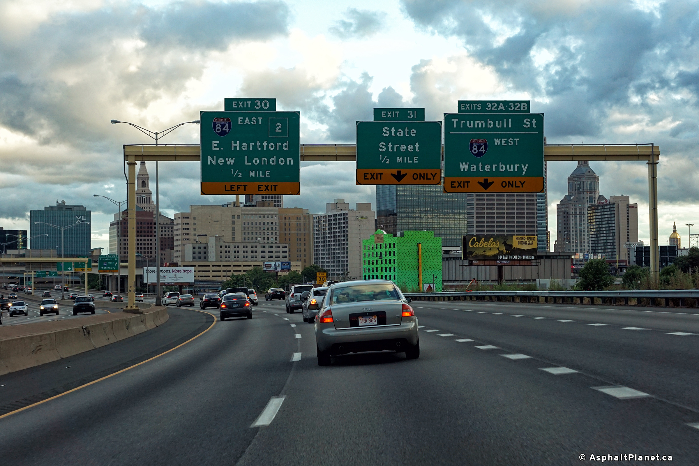
Southbound view at the off-ramp to the westbound direction of Interstate 84. |
 |
||
|
Date: 7/10/2016 |
High-res: (1440x960) (200x1600) | |||
|
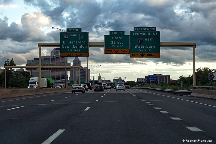
Hartford County |
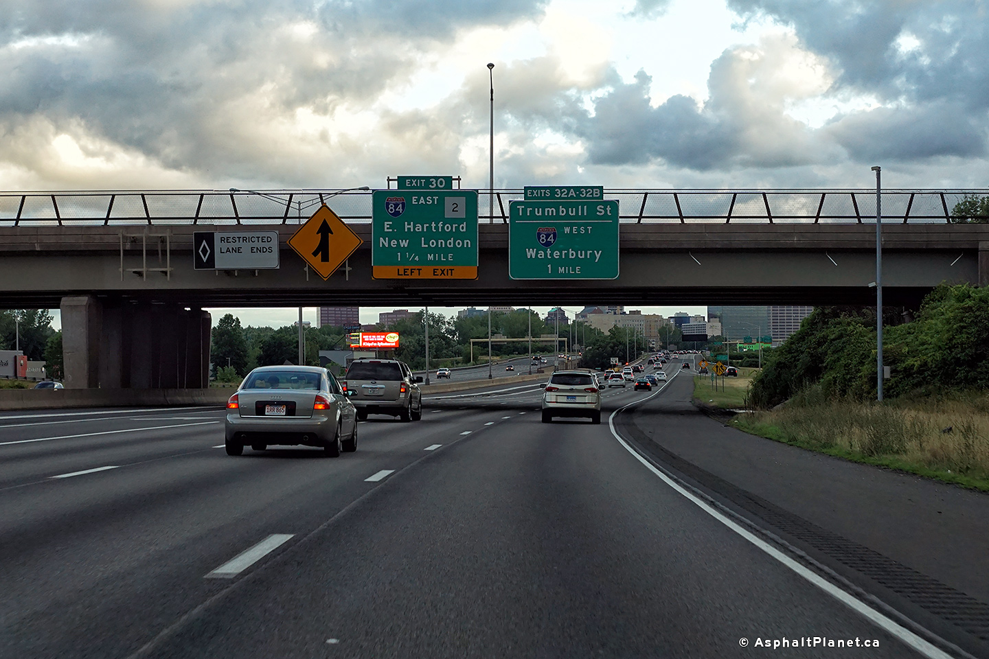
Signage at the southbound off-ramp to I-84 West and to Trumbull Street. |
 |
||
|
Date: 7/10/2016 |
High-res: (1440x960) (2400x1600) | |||
|
Hartford County |
Southbound advanced lane assignment signage approaching the Interstate 84 interchange. |
 |
||
|
Date: 7/10/2016 |
High-res: (1440x960) (2400x1600) | |||
|
Hartford County |
Pre-advanced signage for the upcoming Interstate 84 interchange has been affixed to the Jennings Road overpass. |
 |
||
|
Date: 7/10/2016 |
High-res: (1440x960) (2400x1600) | |||
|
Hartford County |
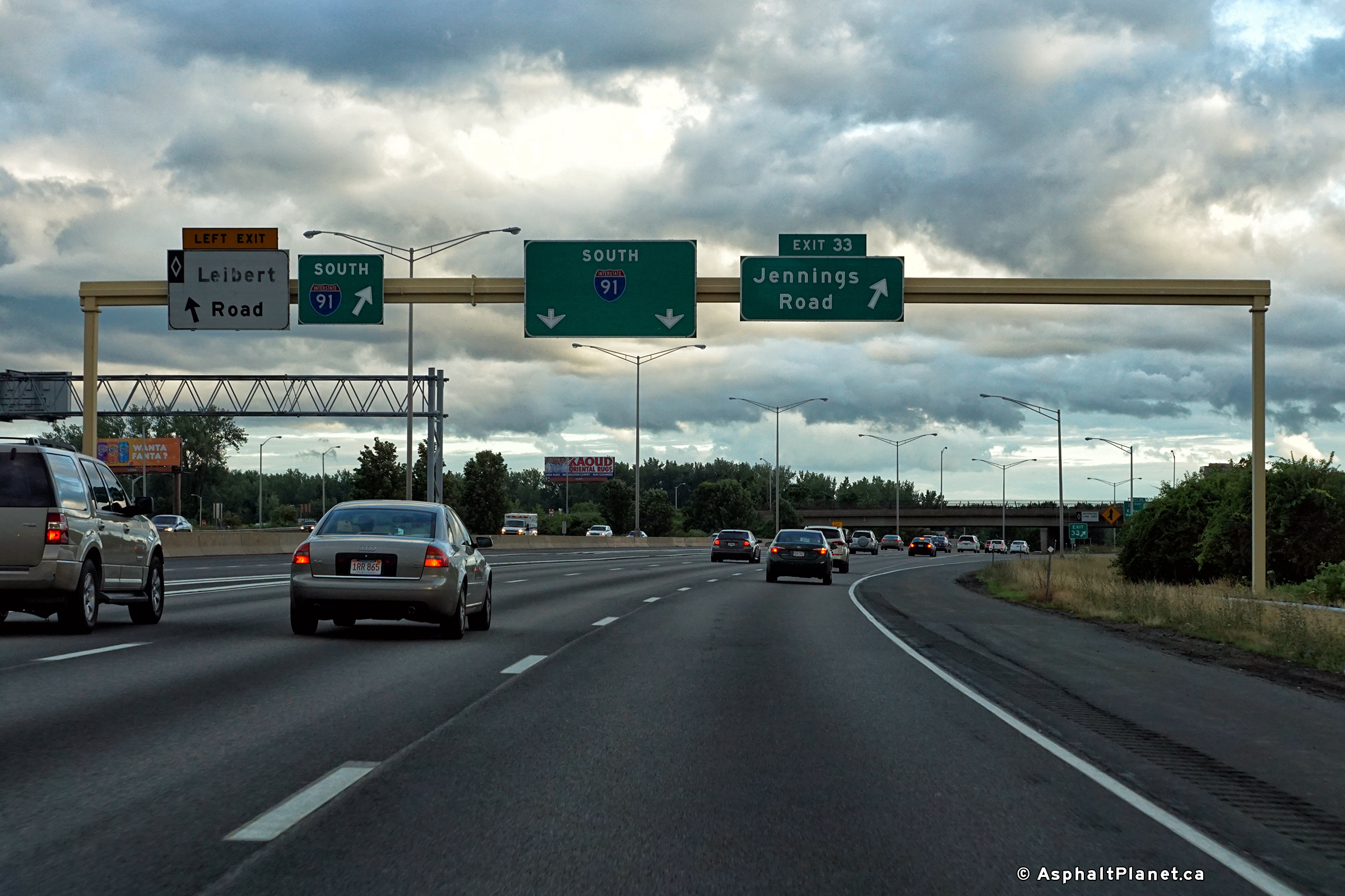
Southbound signage at the off-ramp to Jennings Road. |
 |
||
|
Date: 7/10/2016 |
High-res: (1440x960) (2400x1600) | |||
<- I-84
CT Highways I-95 ->
Asphaltplanet.ca
© 2010-2017 AsphaltPlanet.ca.
AsphaltPlanet@asphaltplanet.ca
Page Created: August 7, 2017.
Last Updated: August 7, 2017.