|
Photos Taken
October 28th, 2007 |
Low-res
High-res |
 |
Low-res
High-res |
Low-res
High-res |
|
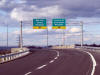
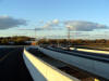
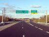
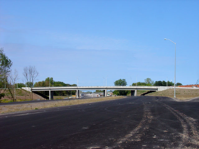
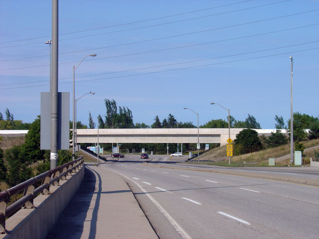
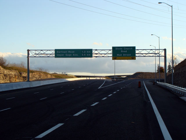
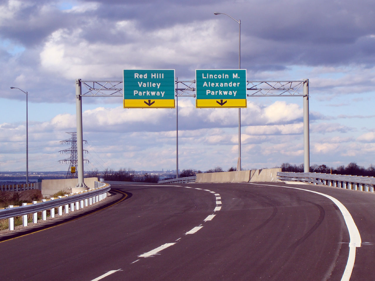
Overhead guide signage for the Linc and Red Hill Valley Parkway. |
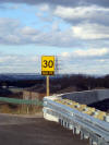
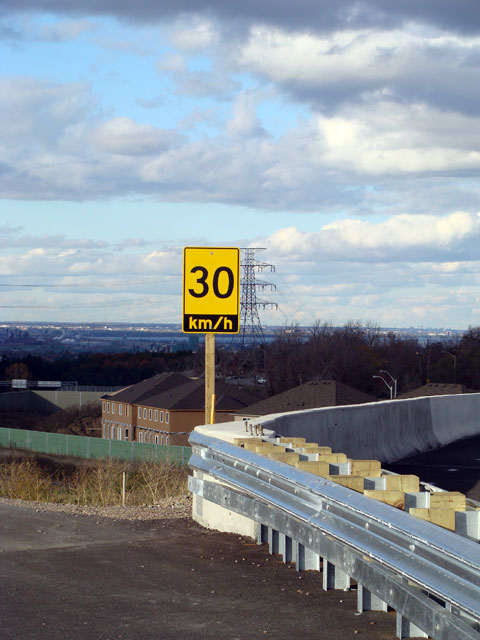
The font on this ramp speed design is slightly different then what would be
found on an MTO freeway. |
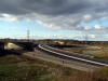
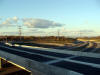
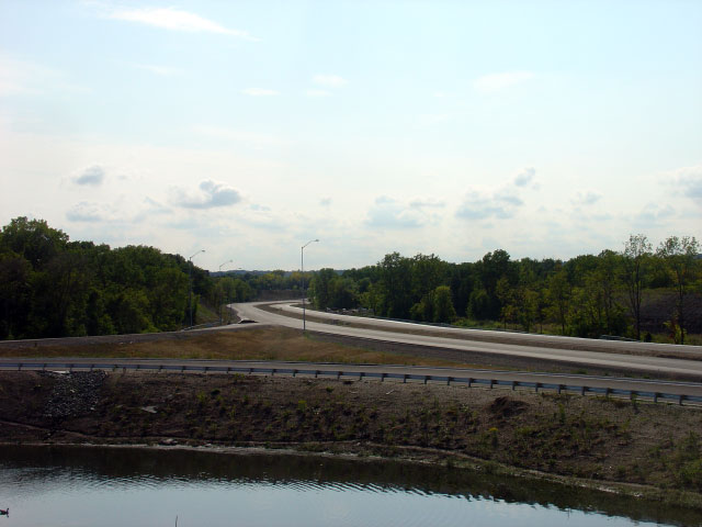
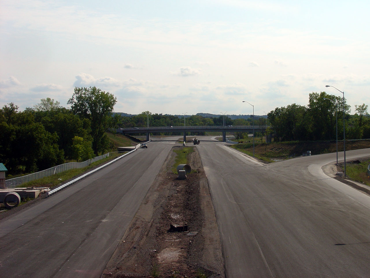
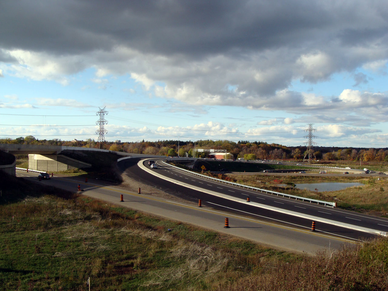
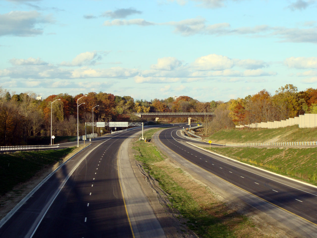
View looking west from the northbound on-ramp to the Parkway towards the Mud
Street connection. |
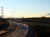
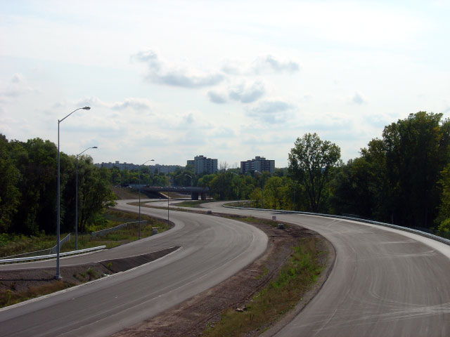
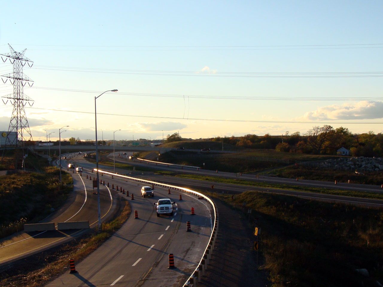
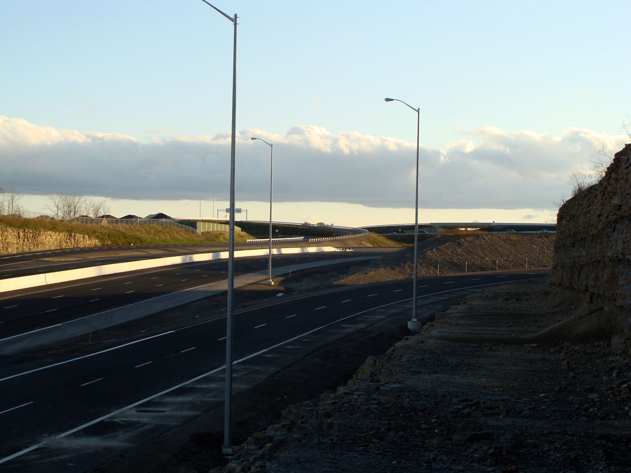
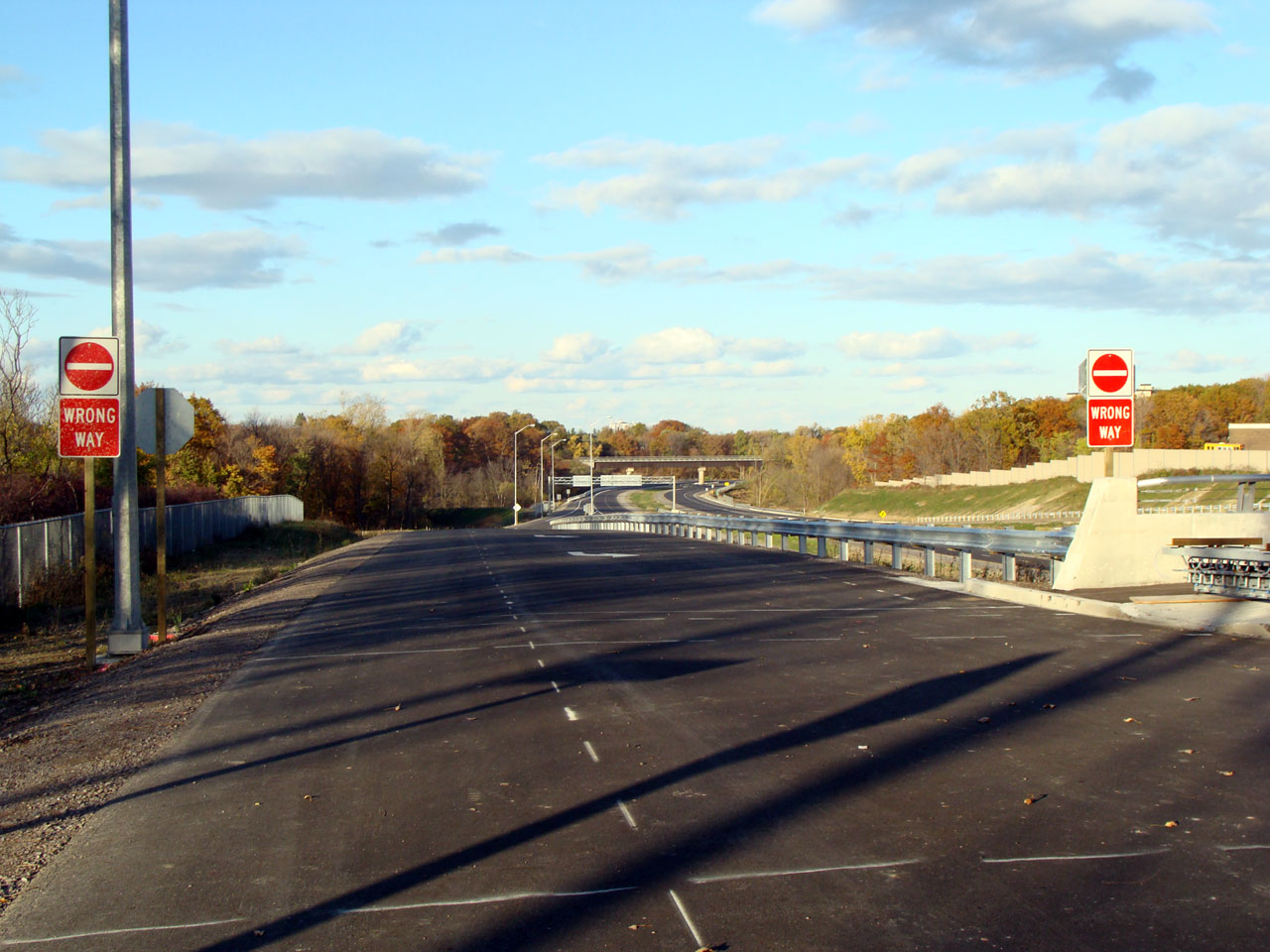
Looking west from the Stone Church Road off-ramp towards the transition from
the Linc to Mud Street. |
Low-res
High-res |
Low-res
High-res |

Low-res
High-res |
Low-res
High-res |
|
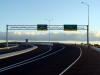
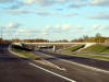
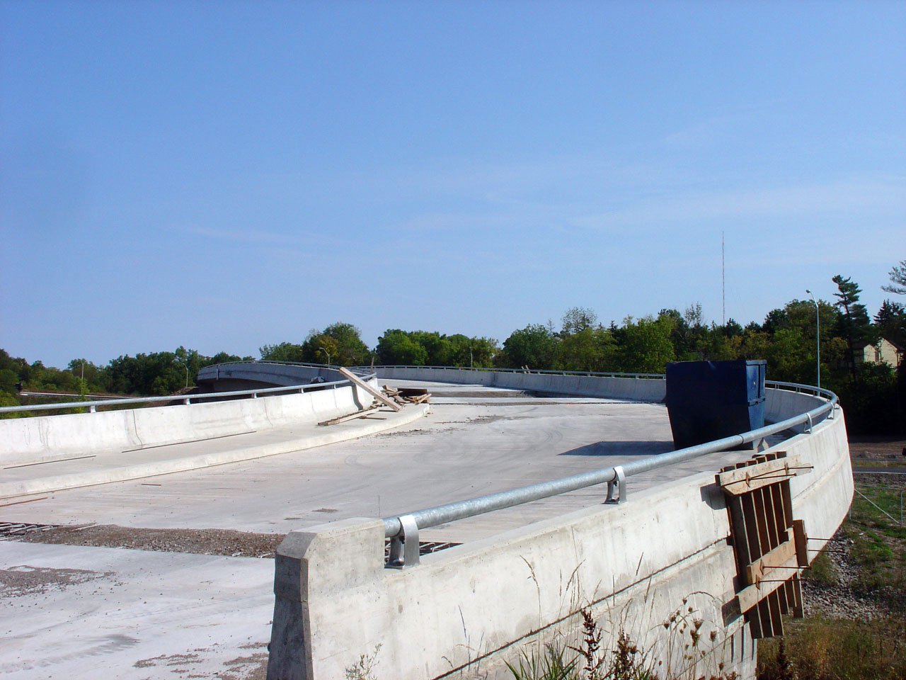
Mud Street and Stone Church Road intersect the Linc/Red Hill at a
complicated trumpet interchange. |
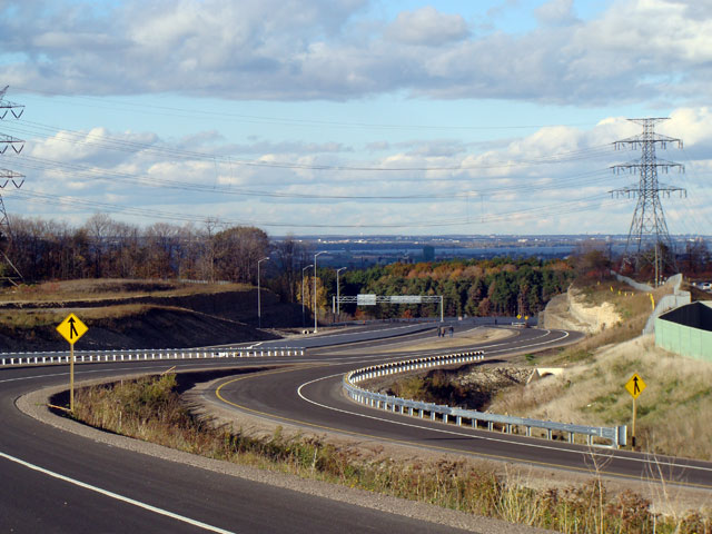
Another view of the interchange pictured to the left. This time
showing the loop ramp which carries Mud Street to the Linc. |
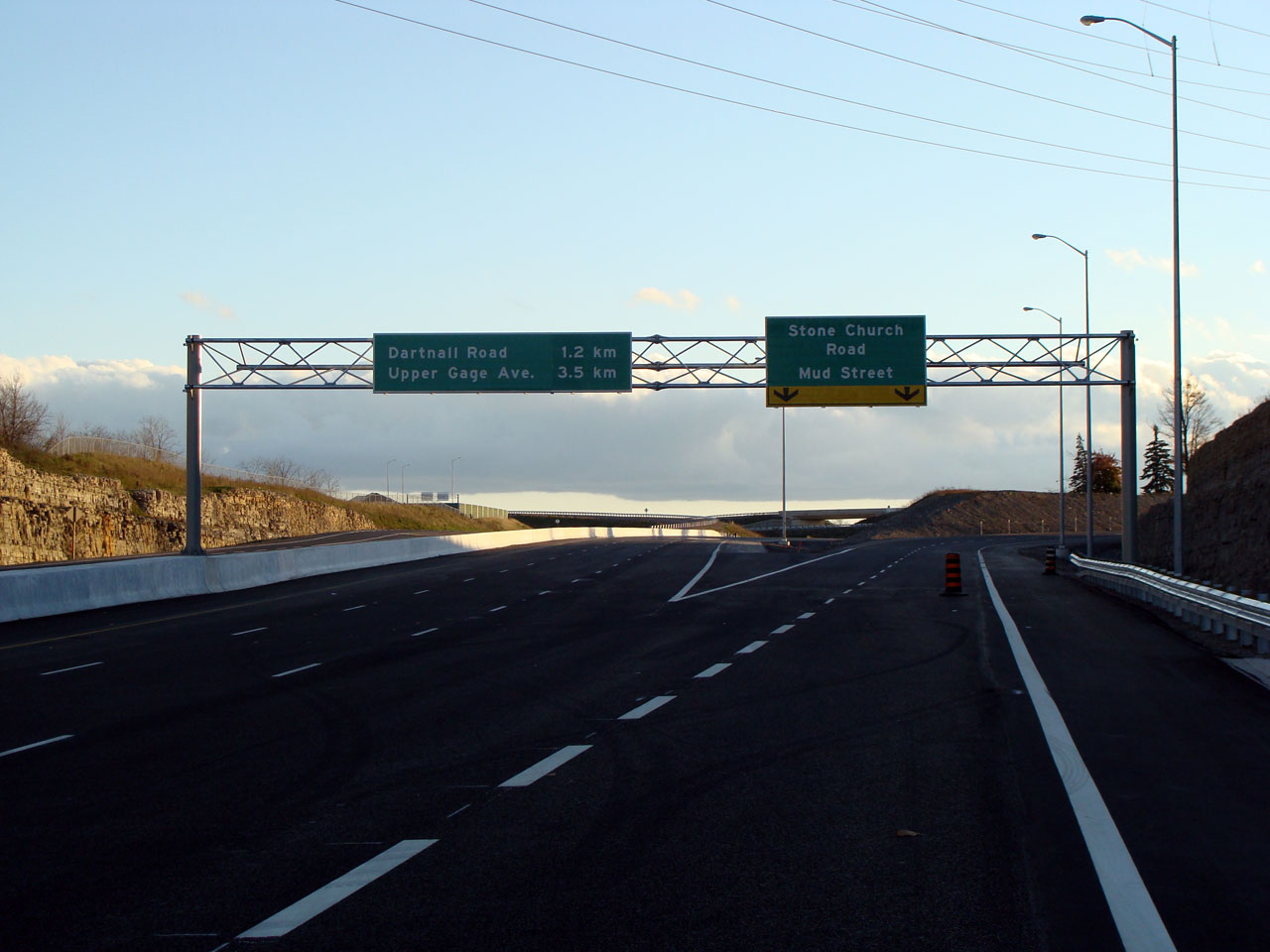
Overhead signage for the southbound interchange to Mud Street and Stone
Church Road |
Signage for the southbound split of the ramps to Mud Street and Stone Church
Road |
Low-res
High-res |
Low-res
High-res |
Low-res
High-res |
Low-res
High-res |
|
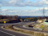
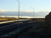
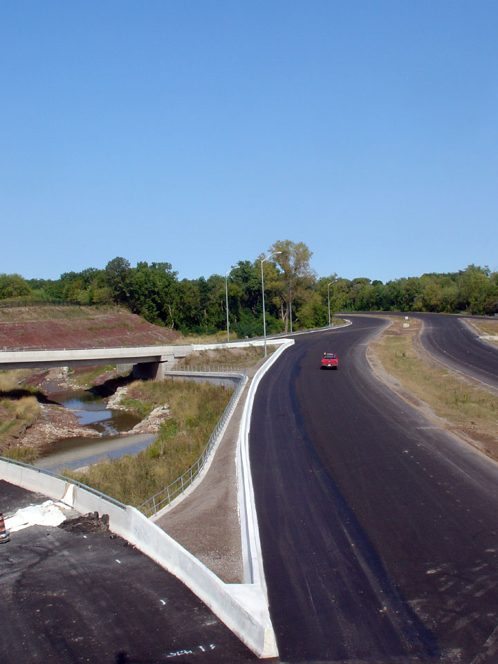
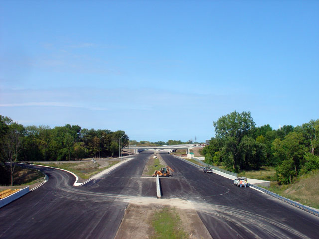
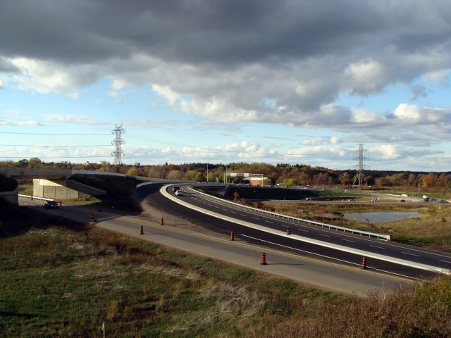
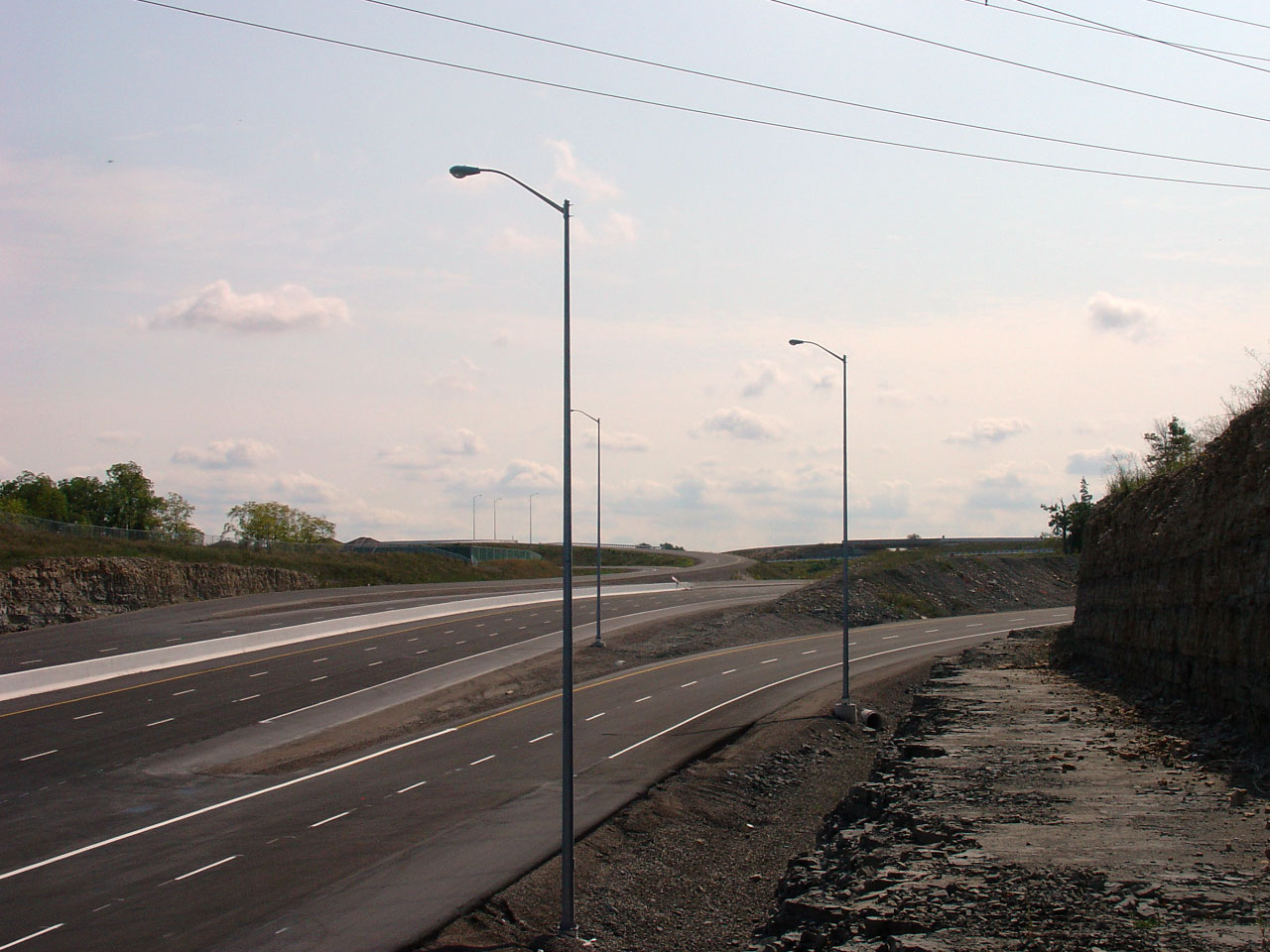
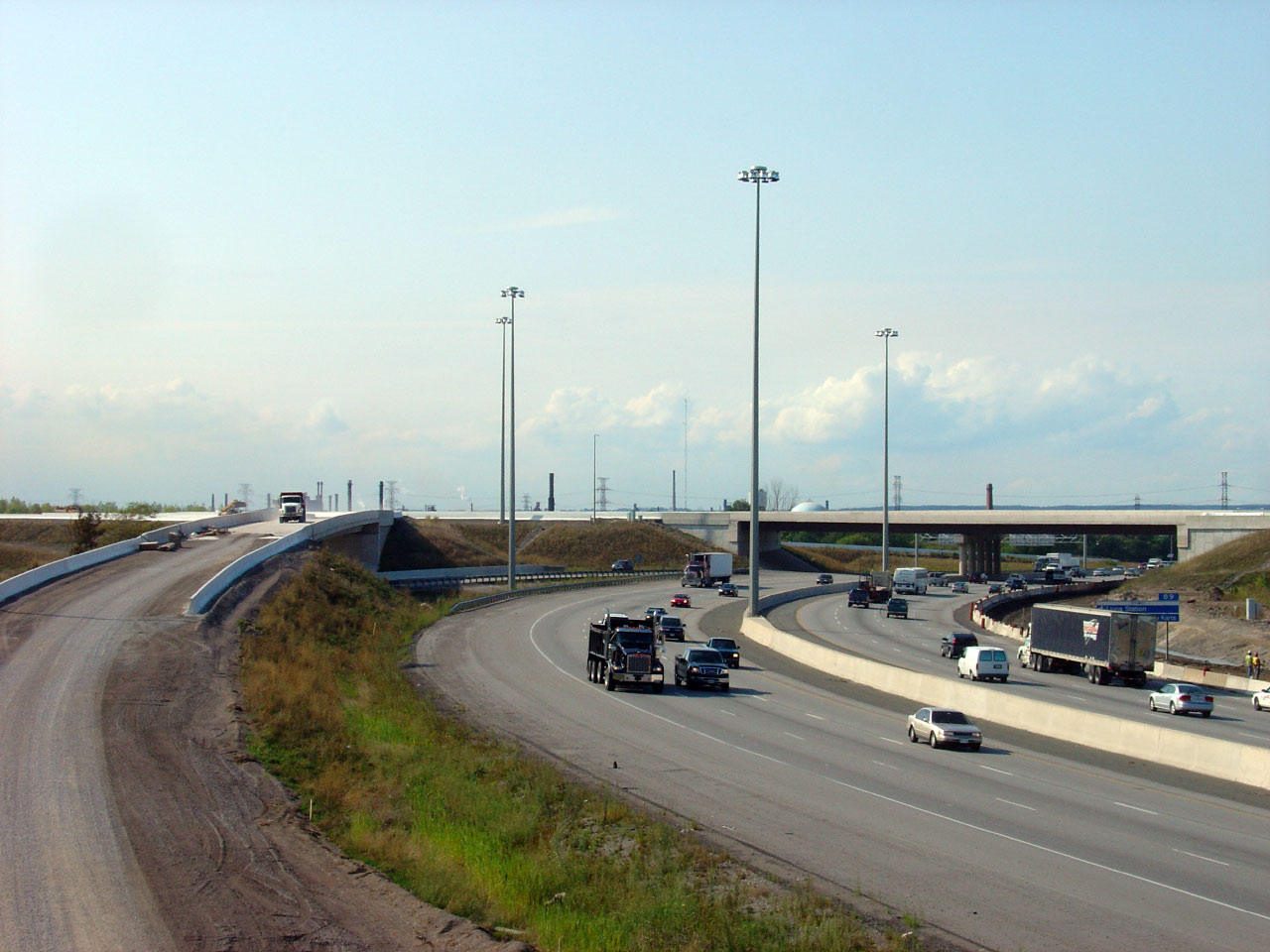
View looking northerly at the Red Hill Valley Parkway from the on-ramp from
Stone Church Road |
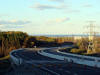
Looking south towards the Mud Street and Stone Church Road intersection |
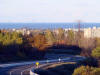
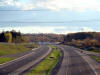
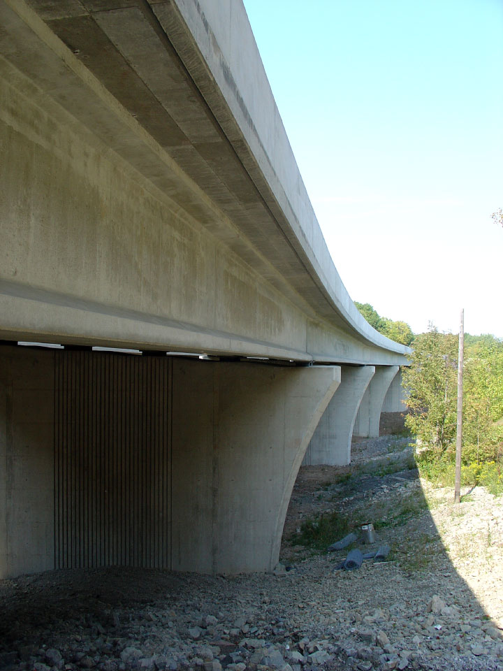
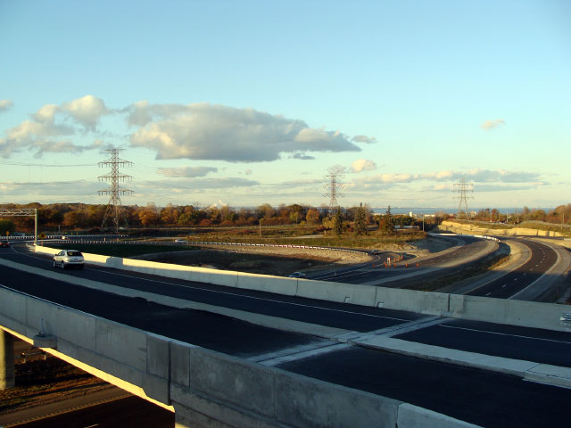
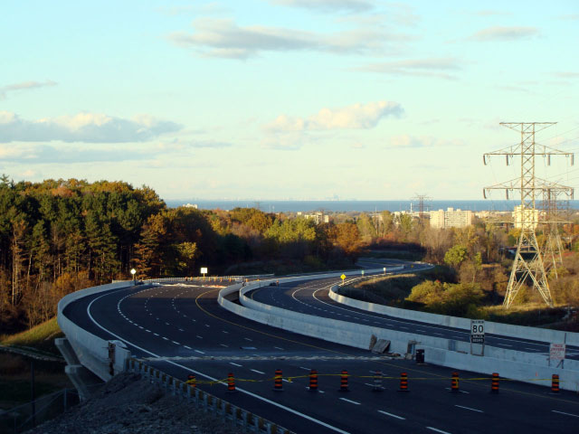
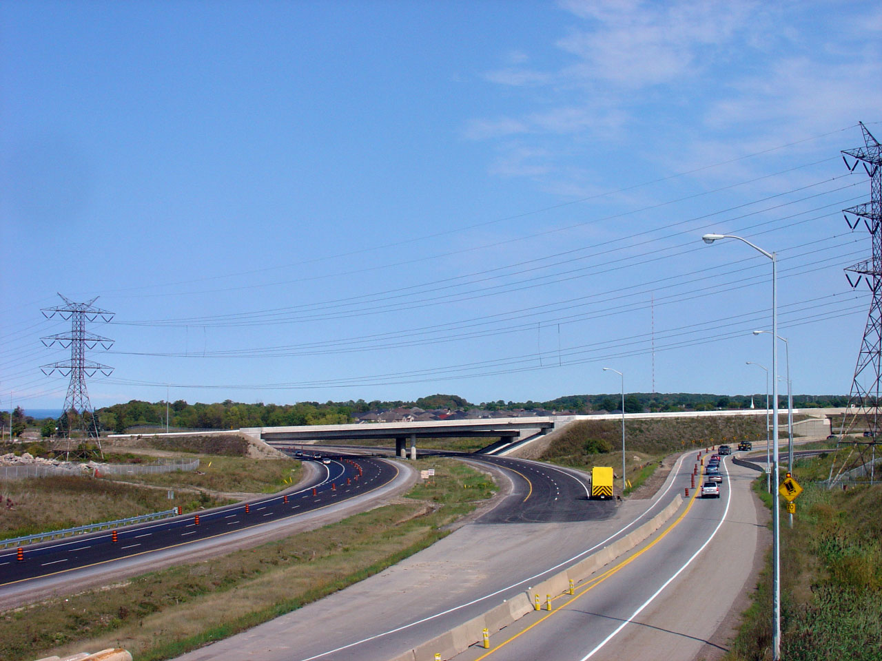
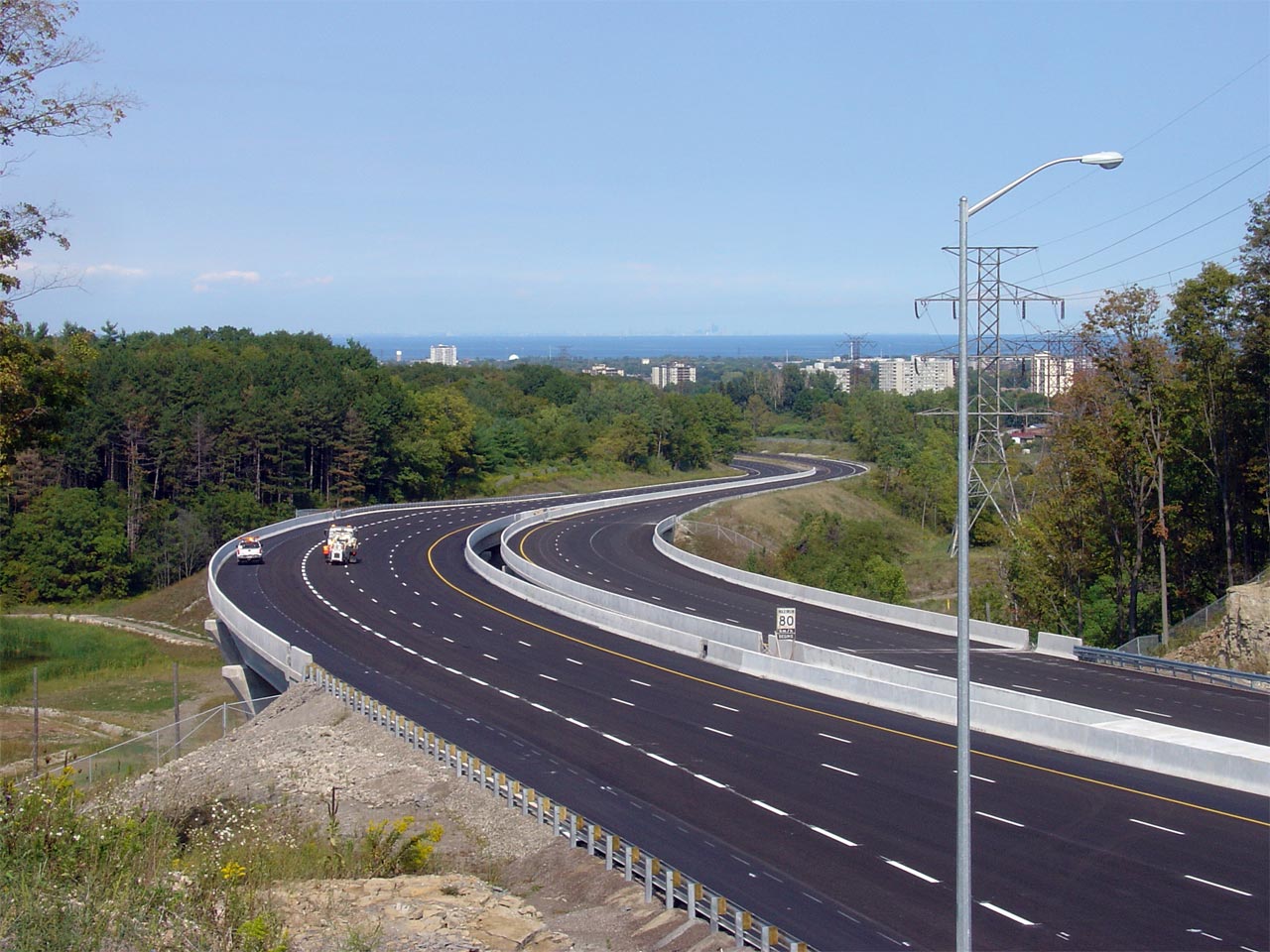
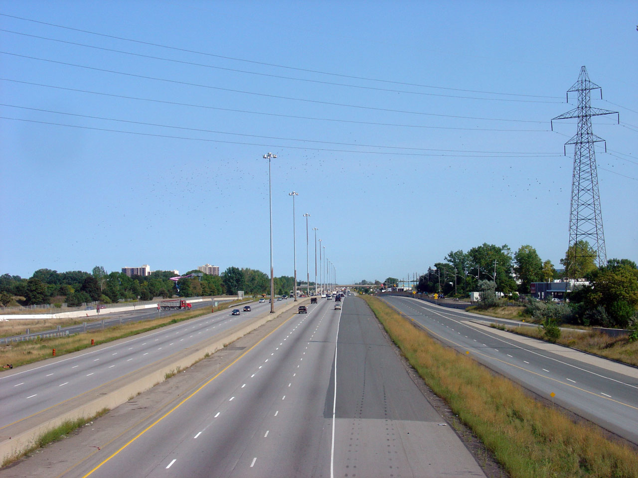
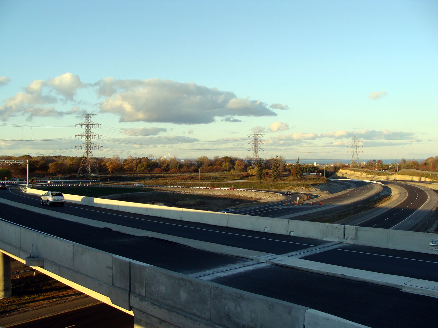
View of the Red Hill as it crosses the large 'Punch Bowl' structures. |
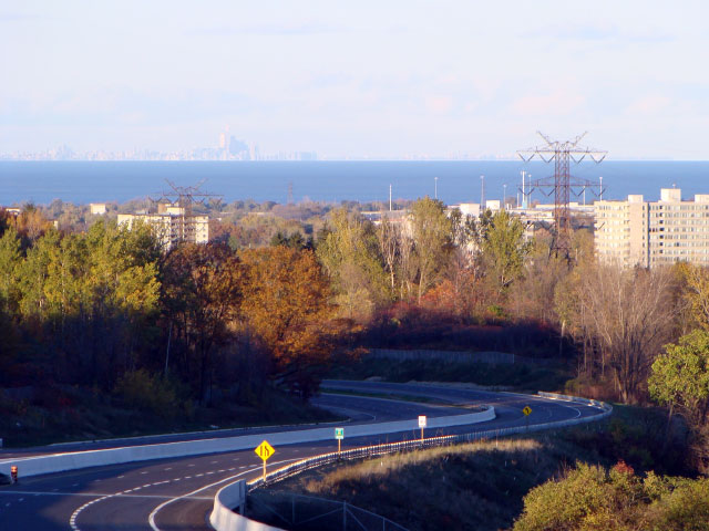
The City of Toronto Skyline can be seen in the distance across Lake Ontario
from the top of the Red Hill Valley Parkway. |
Low-res
High-res |
Low-res
High-res |
Low-res
High-res |
 |
|
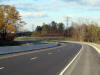
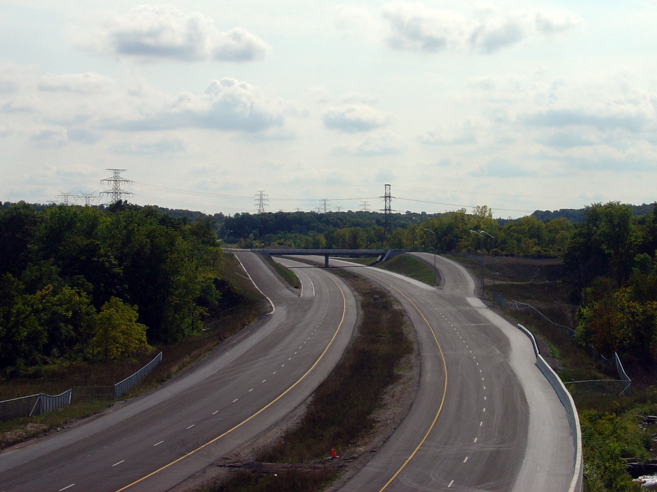
The northern end of the concrete median along the Red Hill is located on a
curve between Mud Street and Greenhill Avenue. |
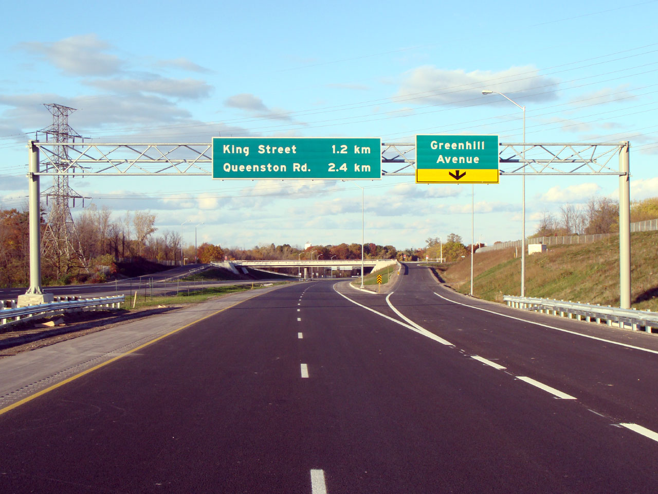
Overhead signage for the Greenhill Avenue interchange. Note the lack
of an 8 'flowerpot' for the Queenston Road interchange. |
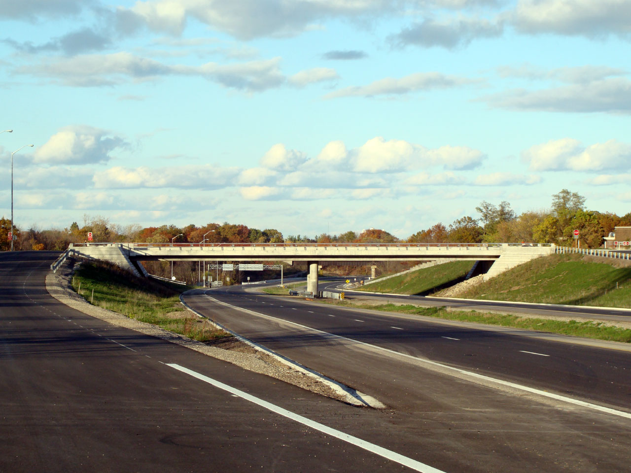
View of the northern side of the Greenhill Avenue structure. |
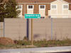
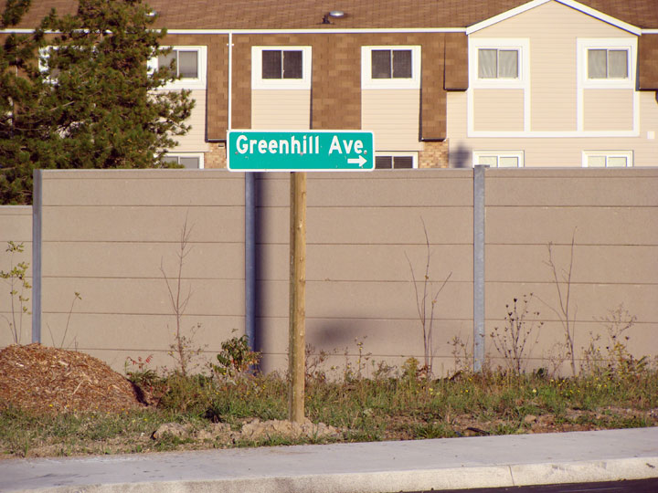
Green sign for Greenhill Avenue at the ramp terminal from the northbound
off-ramp. |
Low-res
High-res |
Low-res
High-res |
Low-res
High-res |
Low-res
High-res |
|
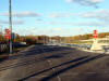
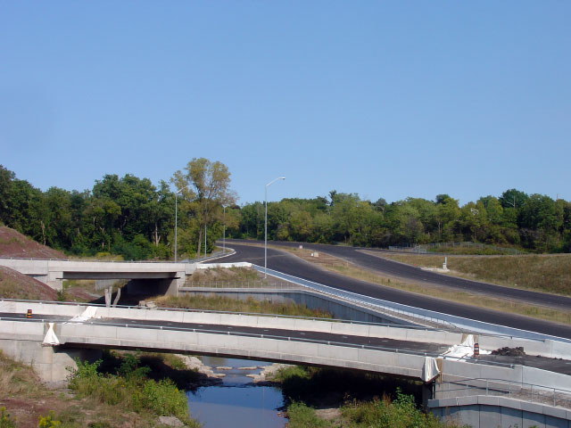
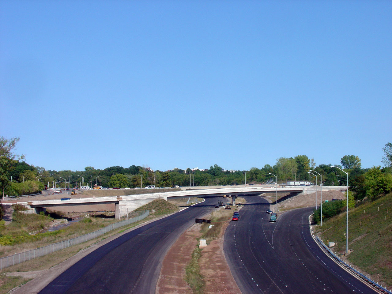
Greenhill Avenue looking east from the western Red Hill ramp terminals.
Greenhill Road ends at this diamond interchange. |
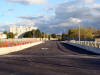
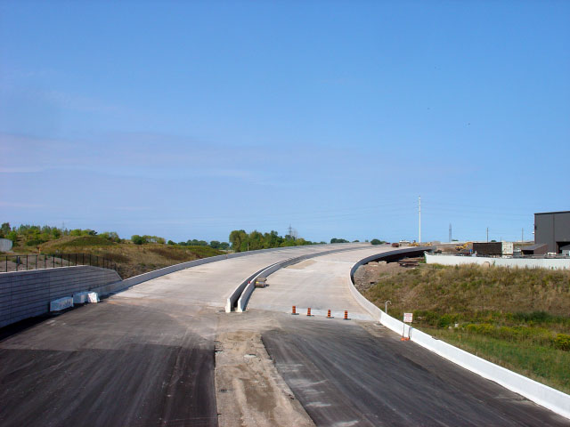
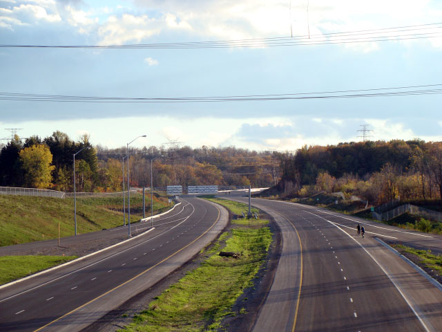
View looking south along the Red Hill from the Greenhill Avenue overpass.
Note the start of the southbound climbing lane. |
View looking north along the southbound off-ramp from the Red Hill Valley
Parkway. |
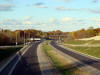
Looking north along the Red Hill Valley Parkway from the Greenhill Avenue
overpass. |


