Photo
Pictures taken from driver's perspective appear offset from centre-line pictures:
bound
bound
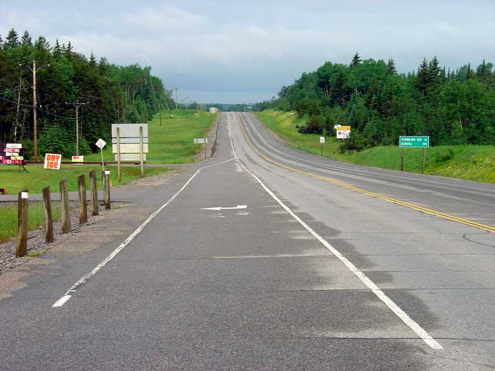
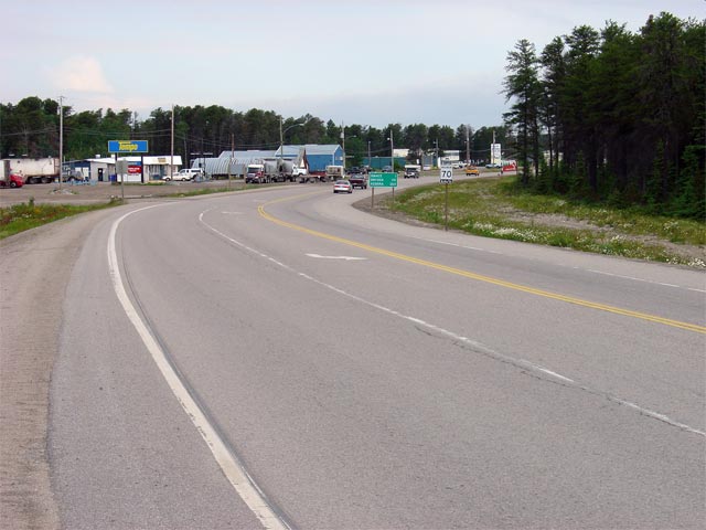
Looking east along Highway 17 from the western junction of Highway 594 west of Dryden. Dryden is a large town by northern standards, and is also the only truly full service community between Kenora and Thunder Bay on Highway 17.
Picture taken: July 13th, 2004. Size: 50kb
Picture size: 30kb.
Picture taken: July 13th, 2004. Size: 60kb.
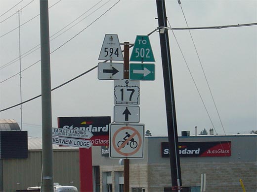
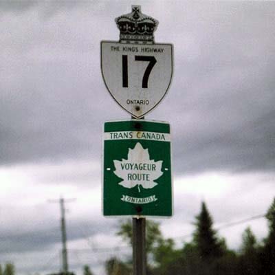
A Highway 17/Trans-Canada Highway shield assembly located eastbound near Ignace. Note, that the Trans-Canada Highway shield denotes Highway 17 as the 'Voyageur Route'. This is erroneous, Highway 17 has never been part of the Voyageur Route. In fact the Voyageur Route is no longer a posted Trans-Canada Highway route; this sign may very well be the last Voyageur Route, Trans Canada Highway sign left in the province.
Picture courtesy: Averill Hecht. Size: 15kb.
District of Kenora
Picture taken: July 13th, 2004. Size: 50kb.
District of Kenora
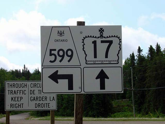
The junction assembly for Highway 17 and Highway 599. This highway junction is located about a kilometer east of Ignace in Northwestern Ontario. Highway 599 is one of Ontario's more remote Highways, and also has the honour of being the province's most northerly highway.
Picture taken: July 13th, 2004. Size: 40kb
District of Kenora
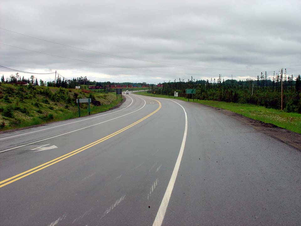
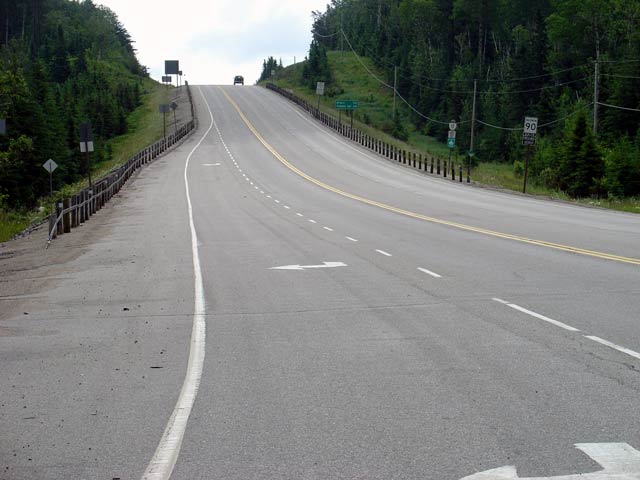
Highway 17 looking east from Highway 599 and Ignace. Passing lanes are quite common on this stretch of the Trans Canada Highway in Ontario, and with the flat terrain, traffic moves along very well.
Picture taken: July 13th, 2004. Size: 45kb
Picture taken: July 13th, 2004. Size: 55kb.