Secondary Highway 546 - www.OntHighways.com

Highway 546 is a long and remote highway that leads northeasterly from the Highway 17 junction at Iron Bridge.  The highway runs beside the Little White River in a narrow valley for much of the highways length.  Highway 546 doesn't pass through any notable communities as it traverses through the Algoma District Wilderness; as such, there are no services located along the highway.


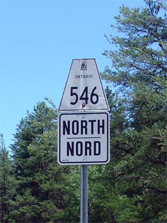
Secondary Highway 546 Shield

  Southern Terminus:  At the Highway 17 junction in Iron Bridge

Northern Terminus:  Mount Lake

Length:  76.9km

Multiplexes:  None

Orientation: North-South

Regions Served: Algoma District

AADT (2002):  Highest: 380, from Iron Bridge to Highway 554;

                             Lowest:  150, from Highway 639 to Mount Lake.

Road Info:  Highway 546 is paved with tar and chip for virtually the highways entire length.  Though the route is posted with a limit of 80km/h, the tight turns and poor geometry of the route makes traveling at this speed unrealistic.  An average travel speed between 60-70km/h is far more likely, on this windy, often scenic highway.


Highway 546 information:


OntHighways.com  

Detailed Route information available below
Virtual Tour of Highway 546


Communities and Intersections along Highway 546 from South to North:

Proper Municipality Name Community Name Distance Intersecting Road
Township of Huron Shores Iron Bridge 0km / 76.9km King's Highway 17
Township of Huron Shores (Former) Iron Bridge North Limits 2km / 74.9km -----
At Highway 554:  NB: Turn right towards Mount Lake.  SB: Turn Left towards Iron Bridge
District of Algoma ----- 10.9km / 66.0km Secondary Highway 554
District of Algoma ----- 64.4km / 12.5km Secondary Highway 639
District of Algoma Mount Lake 76.9km / 0km -----
Highway 546 ENDS

<- Highway 542A         www.OntHighways.com - Home         Highway 547 ->


Copyright (c) 2004-2007, Scott Steeves (Webmaster)  webmaster@onthighways.com

Page last updated:  December 31st, 2006

Page created:  December 31st, 2006