Secondary Highway 560 - www.OntHighways.com

Highway 560 is the third longest secondary highway in the system.  It stretches from Highway 144 easterly to Highway 11 in Englehart.  Much of Highway 560 passes through some of Ontario's most rugged areas.  It is the closest provincial highway to the Ishpatina Ridge (the highest point in Ontario).  Because it passes through such rugged areas, much of the traffic using Highway 560 is that of logging trucks, and other forestry related vehicles.


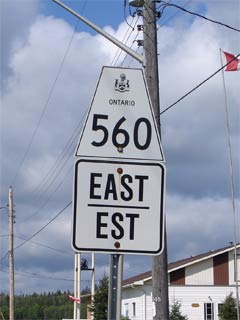
Secondary Highway 560 Shield

  Western Terminus:  Junction Highway 144 roughly halfway between Sudbury and Timmins

Eastern Terminus:  Junction Highway 11 in Englehart

Length:  201.2km

Multiplexes:  1.0km with Highway 65 in Elk Lake

Orientation: East-West

Regions Served: Sudbury and Timiskaming Districts

AADT (2002):  Highest:  900, from Highway 573 easterly to Highway 11;

                             Lowest:  190, from Elk Lake easterly to Highway 573 in Charlton.

Road Info:  West of Elk Lake Highway 560 is very well built, and is very well surfaced.  The geometry of Highway 560 is generally good, and is often more reminiscent of a primary highway then that of a secondary.  Also, unlike most secondary highways, Highway 560 has a fairly wide paved shoulder.  Highway 560 has a rural posted speed limit of 80km/h.


Highway 560 information:


OntHighways.com  

Detailed Route information available below
Virtual Tour of Highway 560


Communities and Intersections along and Highway 560 from West to East:

Proper Municipality Name Community Name Distance Intersecting Road
District of Sudbury ----- 0km / 201.2km King's Highway 144
District of Sudbury ----- 31.0km / 170.2km Secondary Highway 560A
District of Sudbury Shining Tree --- -----
Sudbury - Timiskaming Boundary ----- 74.7km / 126.5km -----
District of Timiskaming Gowganda 101.2km / 100.0km -----

At Highway 65-West:  EB: Turn Right towards New Liskeard.  WB: Turn Left towards Gowganda

Township of James Elk Lake 145.5km / 55.7km King's Highway 65-West

At Highway 65-East:  EB: Turn Left towards Charlton and Englehart.  WB: Turn Right towards Matachewan

Township of James Elk Lake 146.5km / 54.7km King's Highway 65-East
Charlton Boundary Charlton South Limits 191.3km / 9.9km -----
Town of Charlton Charlton 192.0km / 9.2km Secondary Highway 573
Charlton - Dack Boundary Charlton East Limits 192.5km / 8.7km -----
Dack - Englehart Boundary ----- 201.2km / 0km King's Highway 11
Highway 560 Ends

<- Highway 559          www.OntHighways.com - Home          Highway 561 ->


Copyright (c) 2004-2007, Scott Steeves (Webmaster)  webmaster@onthighways.com

Page last updated:  September 13th, 2006

Page created:  September 13th, 2006