Secondary
Highway 609 - www.OntHighways.com
Highway 609 is a short and
isolated secondary highway that leads west from Highway 105 to the small
community of Quibell. The highway continues northerly past Quibell ending
at scenic Clay Lake.
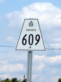
Secondary Highway 609 Shield
|
|
Southern Terminus: Junction Highway 105 at
Red Lake Road Northern Terminus:
Clay Lake
Length: 15.7km
Multiplexes: None
Orientation: North-South
Regions Served: Kenora District
AADT (1994):
100, for the entire length of Highway 609
Road Info: Highway 609 is gravel
for much of its length, being paved only from Highway 105 to Quibell.
The route is very lightly traveled, at times quite narrow but is -- like
virtually all secondary highways, regardless of standard -- posted with an
80km/h speed limit. |
|
Highway 609 information: |
|
|
OntHighways.com |
|
Detailed Route information available
below
Virtual Tour of Highway 609 (Coming Soon!) |
|
Communities and Intersections along and Highway 609 from South to North:
|
Proper
Municipality Name |
Community Name |
Distance |
Intersecting
Road |
| District of Kenora |
----- |
0km / 15.7km |
King's Highway 105 |
| District of Kenora |
Quibell |
--- |
----- |
| District of Kenora |
(Clay Lake) |
15.7km / 0km |
----- |
|
Highway 610 ENDS |
<- Highway 608
www.OntHighways.com - Home
Highway 610 ->
Copyright (c) 2004-2011, Scott Steeves
(Webmaster)
scott@asphaltplanet.ca
Page last updated: November 18th, 2007
Page created: November 18th, 2007