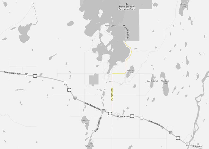
AsphaltPlanet.ca > OntHighways >
Highway 581 > Images
Secondary Highway 581 - Images
Photos shown in this table are arranged from South to North:
|
Proper Municipality Name |
Photo Description |
Photo |
|
|
Pictures taken from driver's perspective appear offset from centre-line pictures: |
North- |
South- |
|
| Highway 581 ends at Highway 11. Click here for Highway 11 images. | |||
|
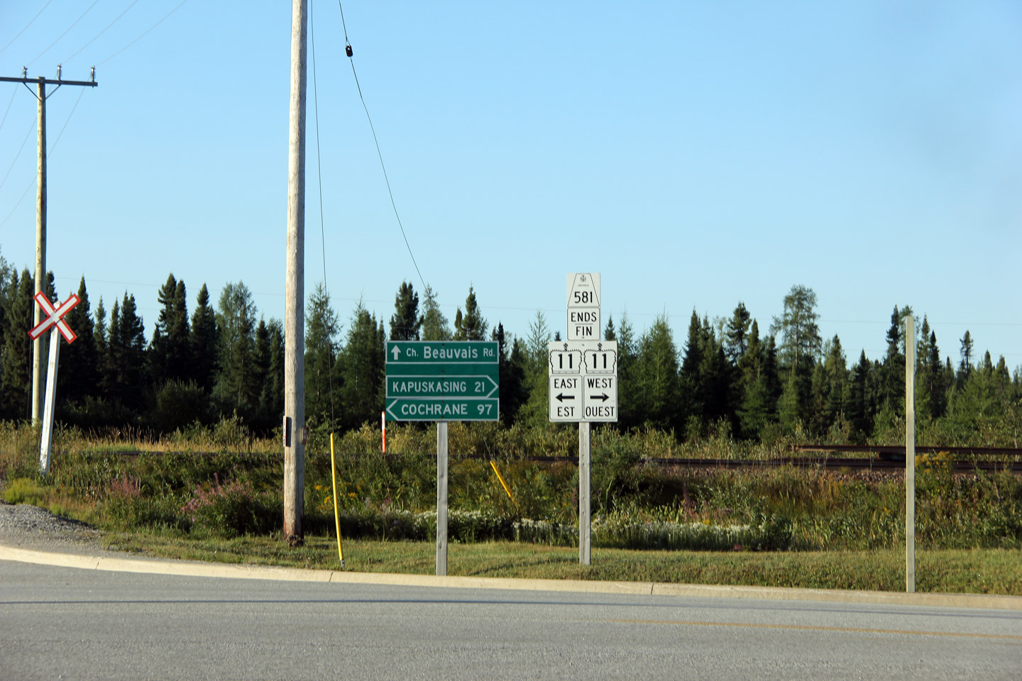
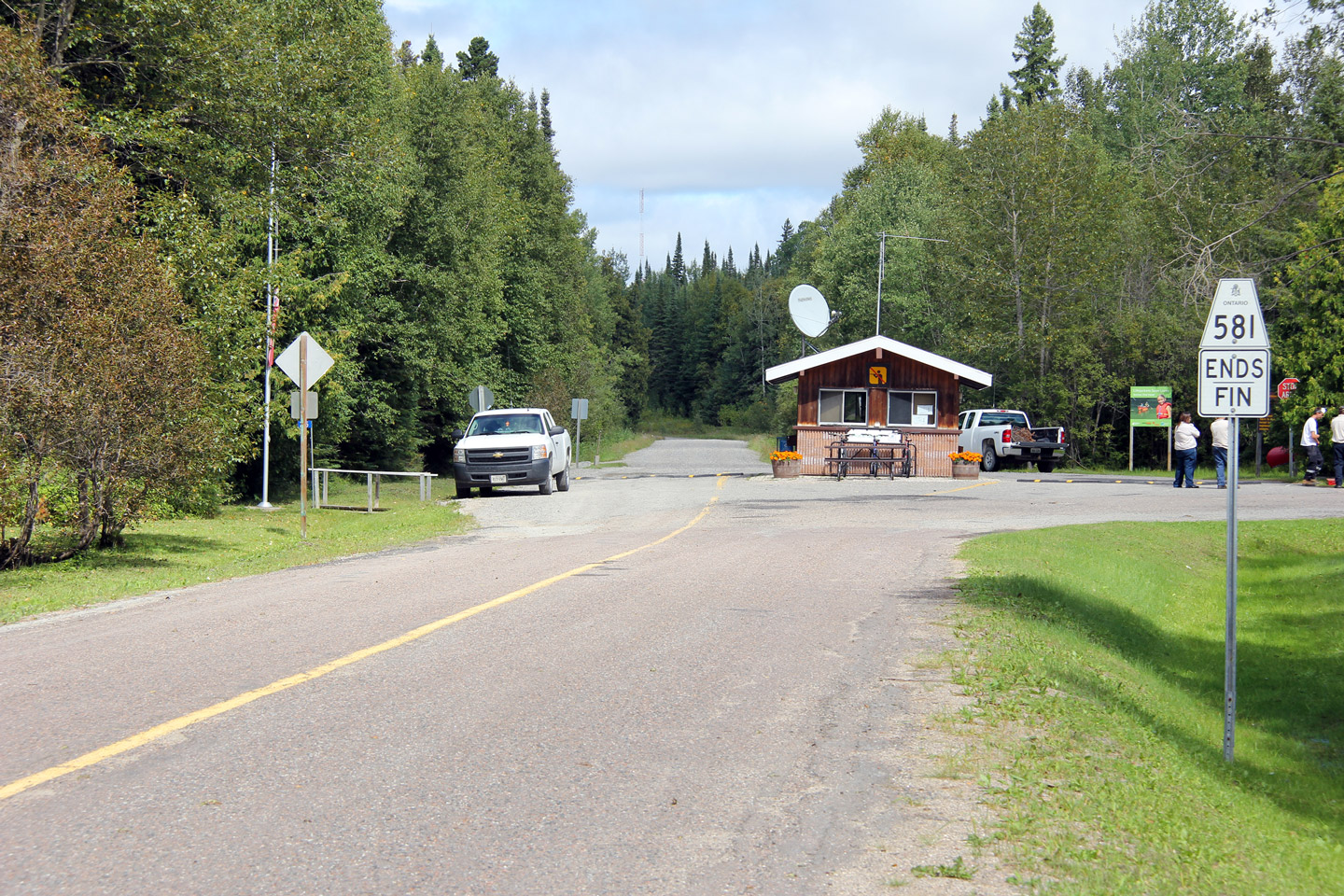
Township of Moonbeam District of Cochrane |
Southbound junction assembly at the end of Highway 581. Photo taken: August 26th, 2011. |
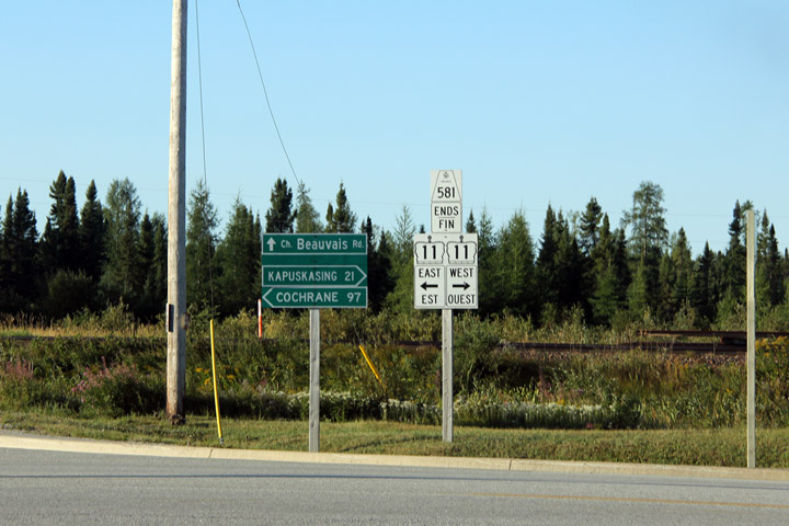 (1440x960) |
|
|
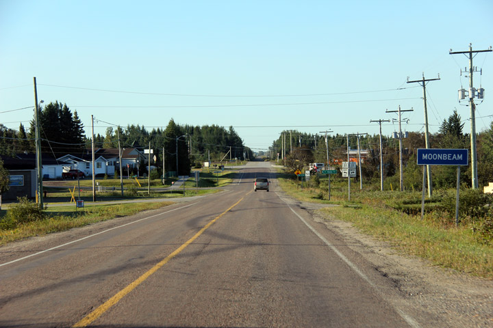
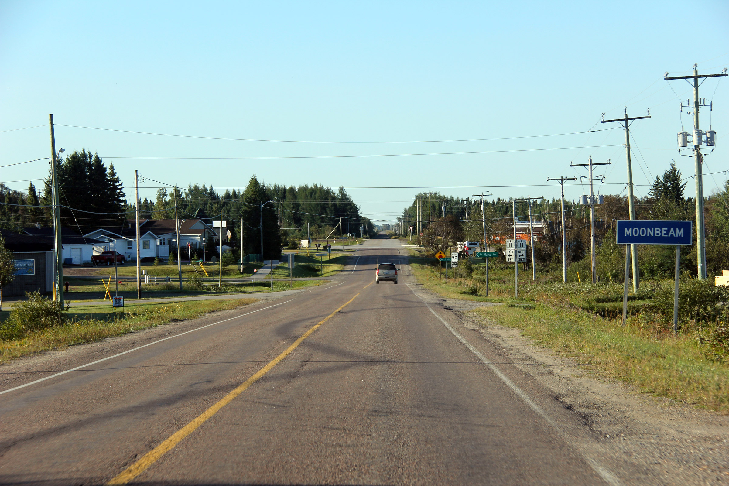
Township of Moonbeam District of Cochrane |
Southerly view as Highway 581 enters Moonbeam. Photo taken: August 26th, 2011. |
||
|
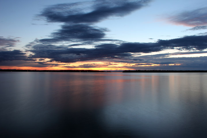
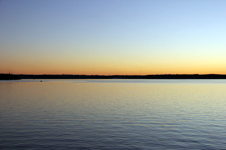
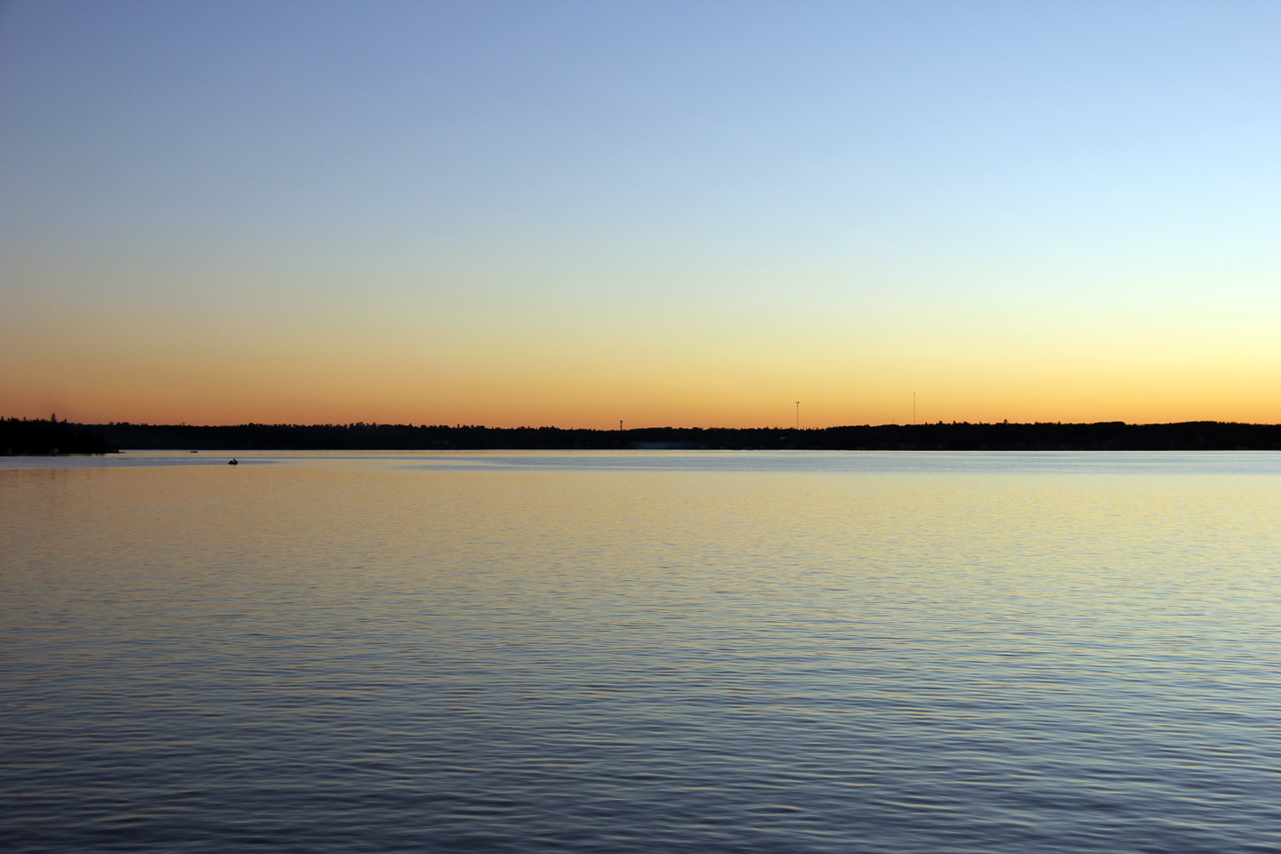
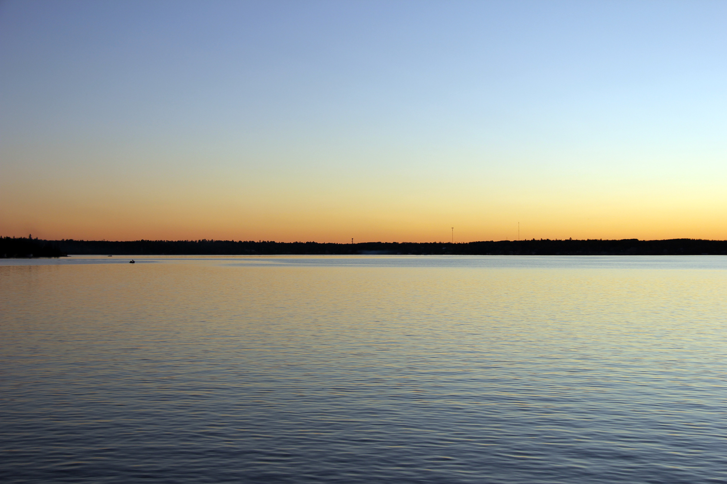
Township of Moonbeam District of Cochrane |
Two views at the sunset just after the sun had set over Remi Lake. Upper photo taken: August 24th, 2011. Lower photo taken: August 25th, 2011. |
(720x480) (1440x960) (2400x1600)
|
|
|
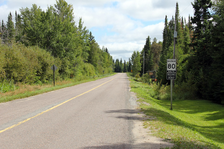
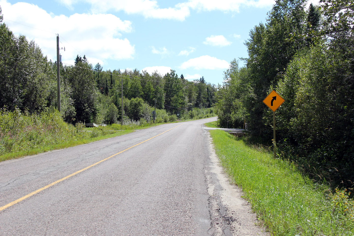
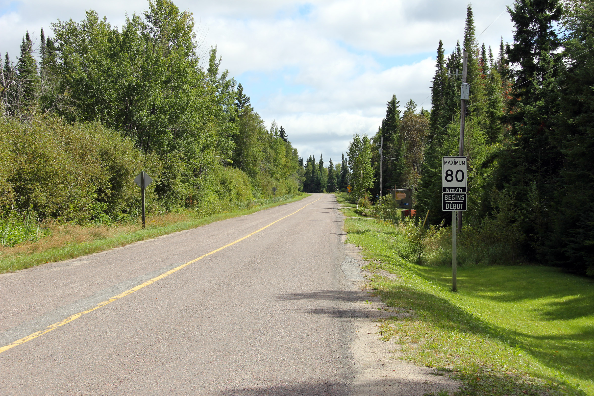
Township of Moonbeam District of Cochrane |
Southerly view along Highway 581 about 3km south of René Brunelle Provincial
Park.. Photo taken: August 25th, 2011. |
|
|
|
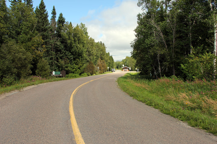
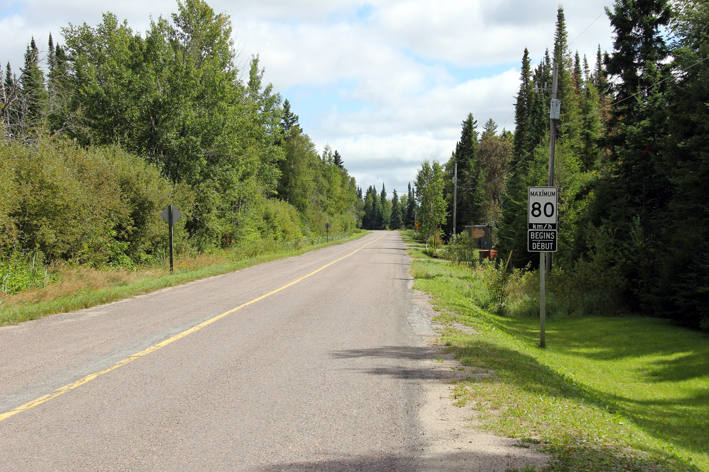
Township of Moonbeam District of Cochrane |
Southerly view along Highway 581, from just south of the highway's northern
terminus. Photo taken: August 25th, 2011. |
|
|
|
Township of Moonbeam District of Cochrane |
Northerly view on approach to Highway 581's northern terminus. Photo taken: August 25th, 2011. |
|
|
|
Township of Moonbeam District of Cochrane |
View looking northerly at the northern terminus of Highway 581 at René
Brunelle Provincial Park. Photo taken: August 25th, 2011. |
 |
|
<- Highway 580 Images Back to Highway 581 Highway 582 Images ->
Copyright (c) 2004-2012, Scott Steeves (Webmaster) scott@asphaltplanet.ca
