KING`S HIGHWAY NO. 17
DISTRICT AND REGIONAL MUNICIPALITY OF SUDBURY
| |
Looking east along Highway 17 at the CPR overpass in Walford. Summer of 1989. |
 |
Looking east along Highway 17 at the Birch Creek overpass just west of Webbwood. This bridge was replaced in 2006 with a new structure on the right (south side). Summer of 1989. |
 |
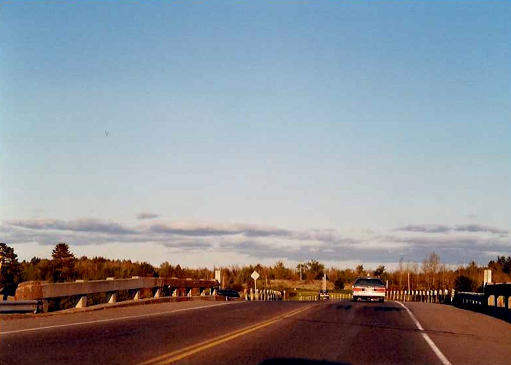
The beginning of the 4-lane section of Highway 17, just west of the Town of Whitefish. As seen in the background of this photo, there are some very impressive rock cuts along this stretch of Highway 17. Summer of 1989. |
 |
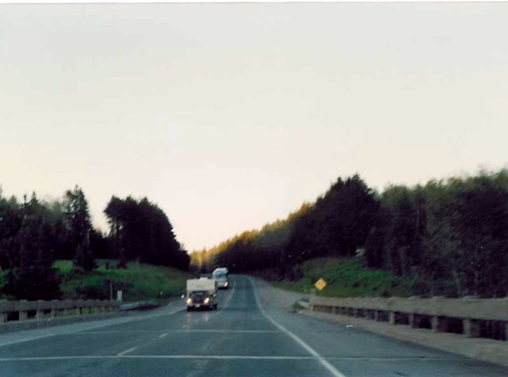
Underpass located on the eastbound lanes of Highway 17 somewhere between Whitefish and Naughton. I'll take a guess and say it's the Vermilion River Bridge. Summer of 1989. |
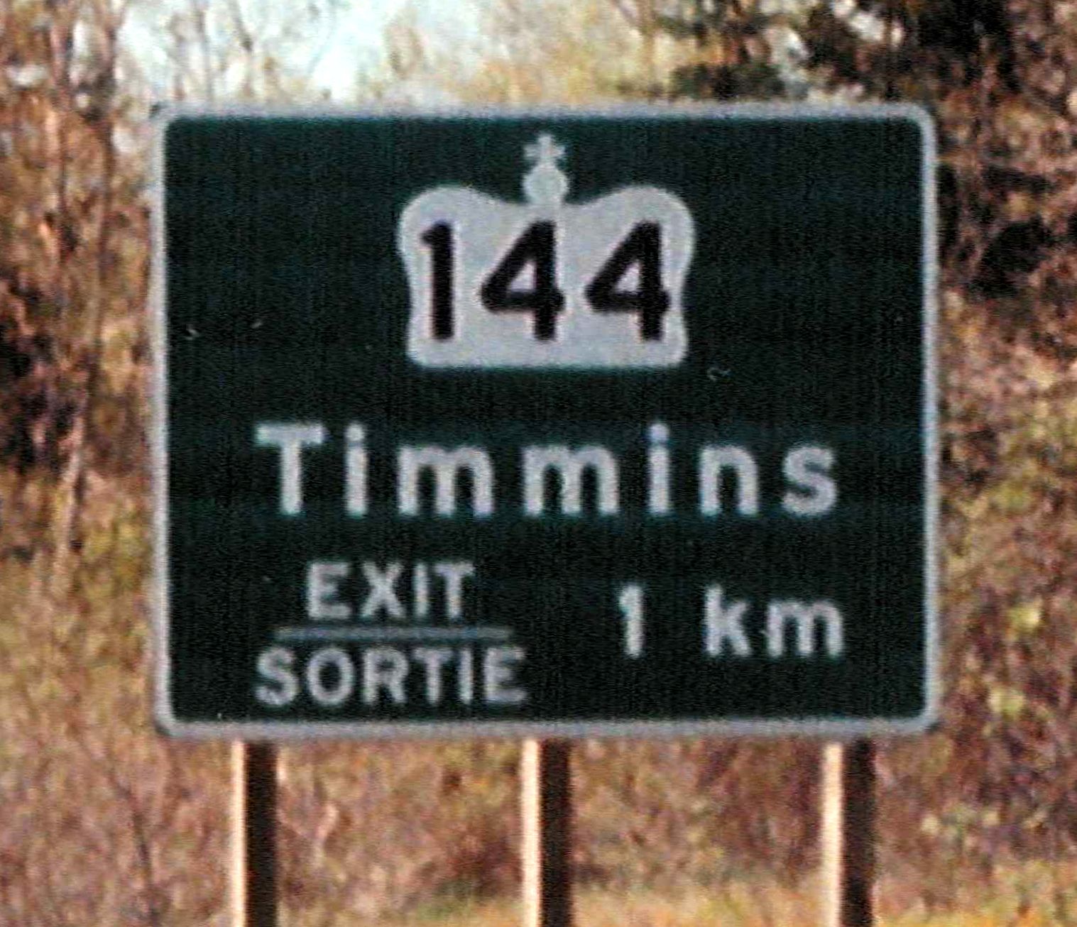 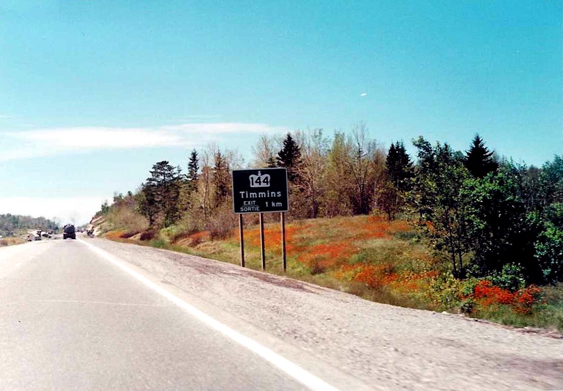 |
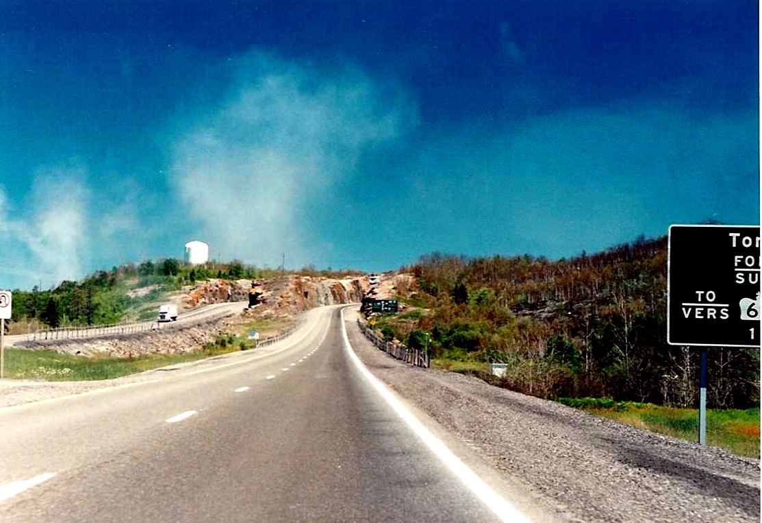
Close up and distant shot of the 1km advance signage for Highway 144 located on eastbound Highway 17. Summer of 1989. |
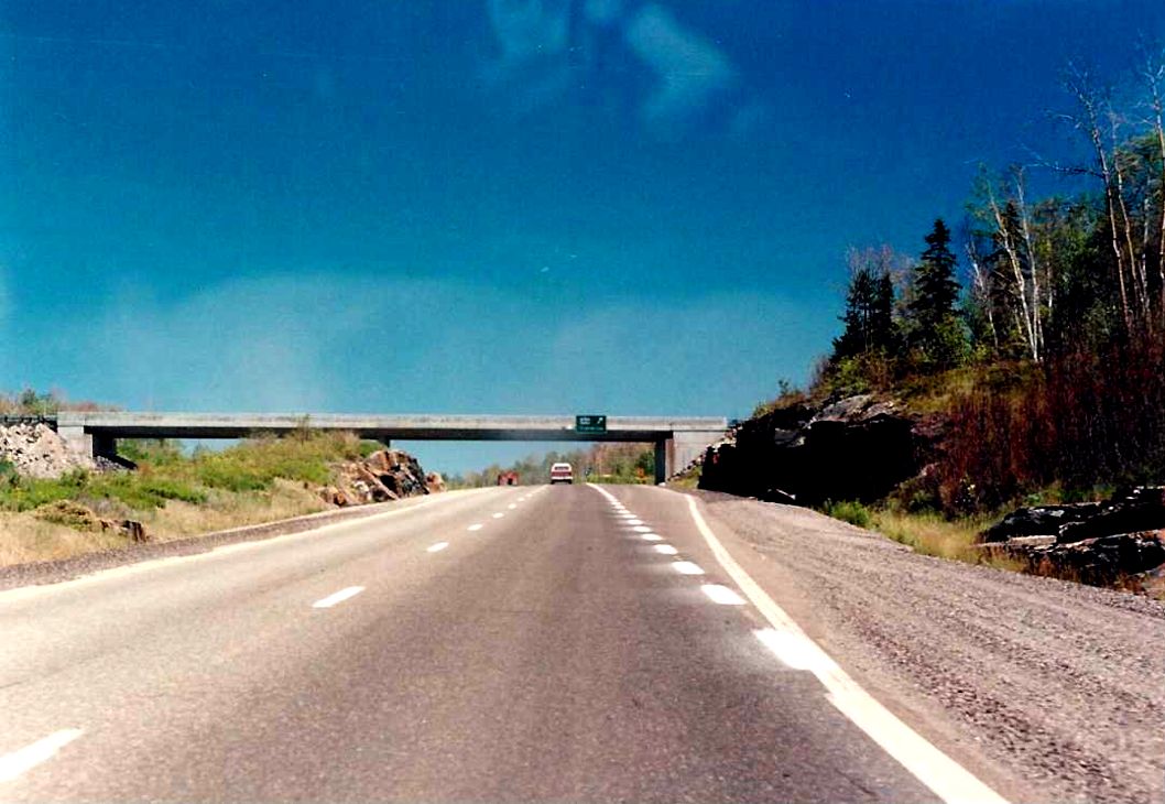 |
Looking east along eastbound Highway 17, approaching the Highway 144 interchange just northeast of the Town of Naughton. Highway 144 travels north from this junction for almost 300 kilometres to Timmins. Summer of 1989. |
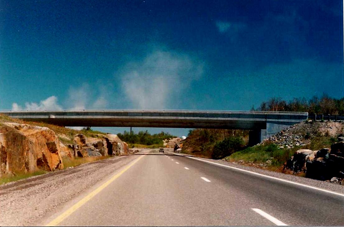 |
Looking east along eastbound Highway 17 approaching, the Santala Road(?) overpass, just west of the Town of Lively. Summer of 1989. |
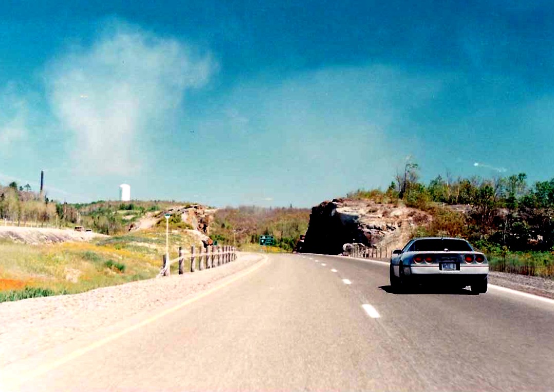 |
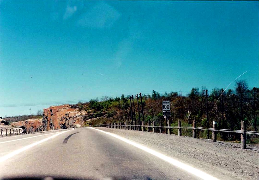
Eastbound Highway 17 approximately 2 kilometres west of the Highway 69/SW Bypass interchange at Lively. Summer of 1989. |
 |
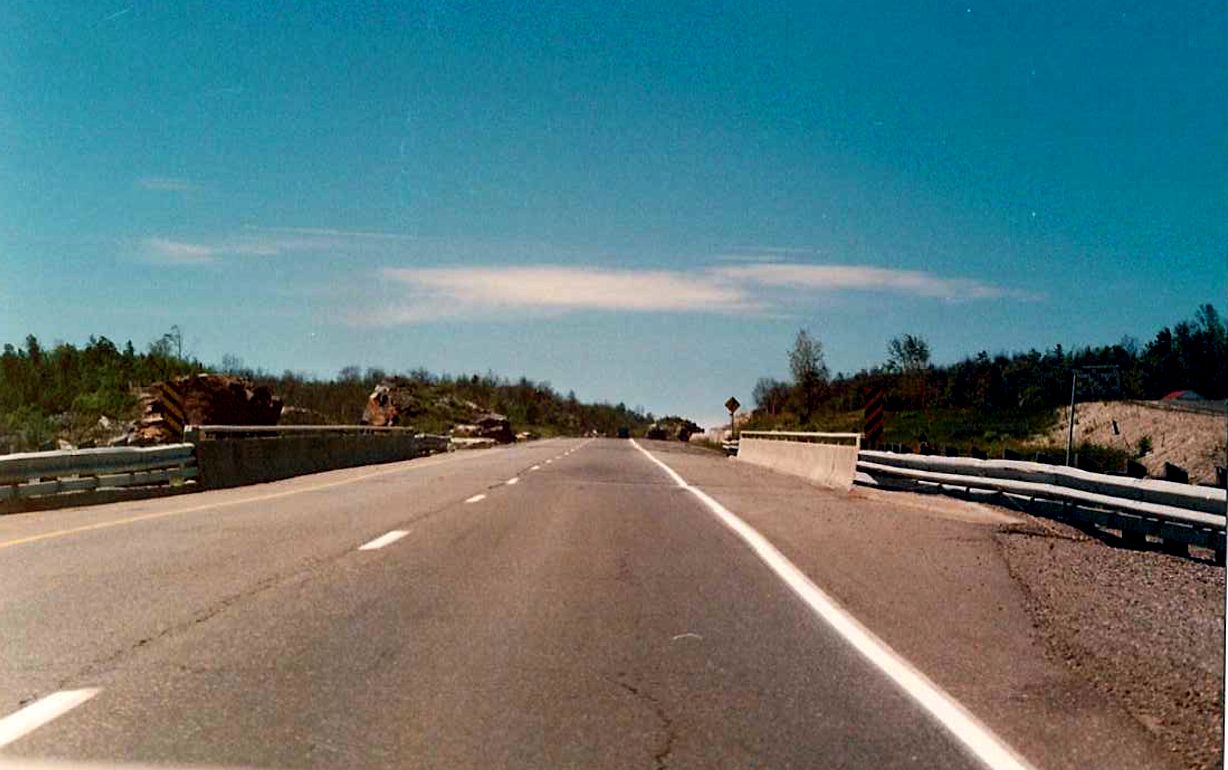
Looking east along eastbound Highway 17, about 1.5 kilometres west of the Highway 69/SW Bypass interchange at Lively. Summer of 1989. |
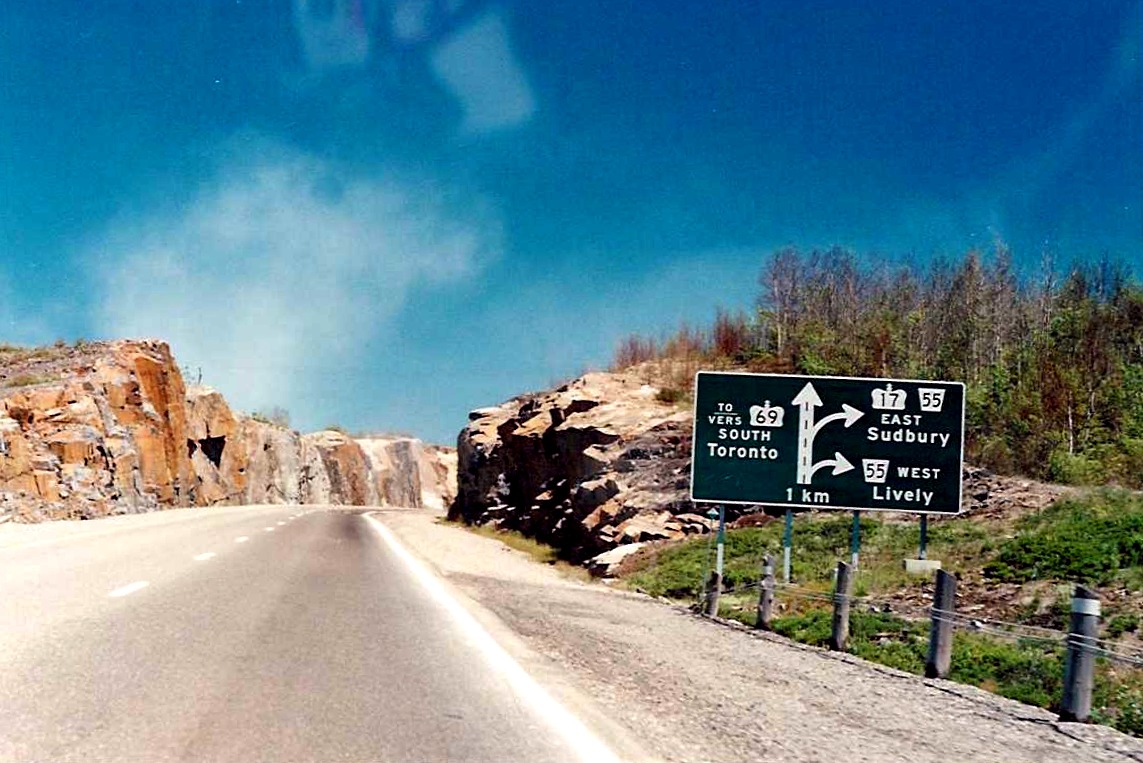 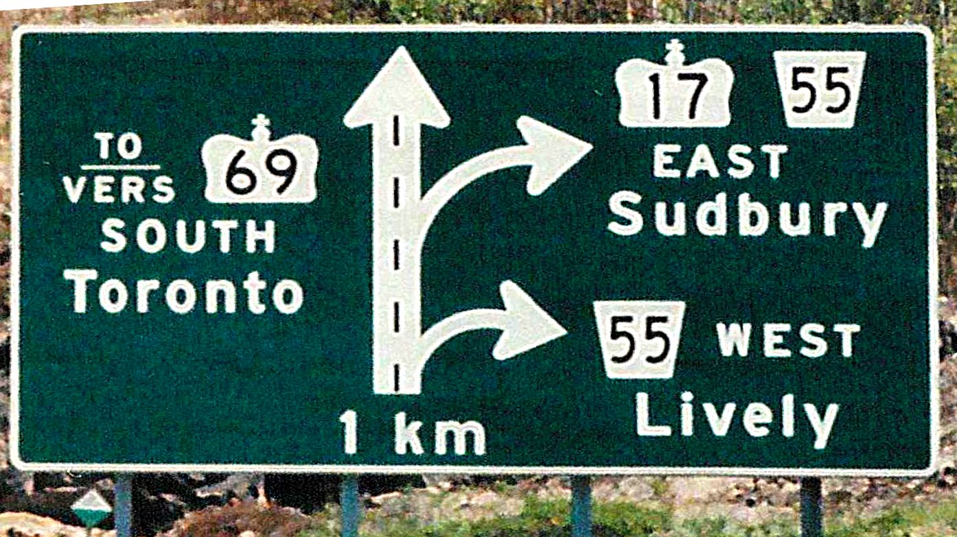 |
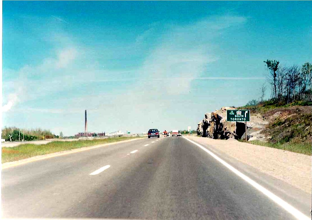
Ground mounted diagram sign located on eastbound Highway 17 for the Highway 17 and Highway 69/SW Bypass interchange just east of Lively. The mainline lanes of Highway 17 default into the SW Bypass (a precursor to the transfer of the Highway 17 designation onto the SW Bypass years later) while a loop ramp must be utilized to keep on Highway 17 towards downtown Sudbury. Somewhat illogical syntax used on this sign as its a mix of unilingual and bilingual standards. Summer of 1989. |
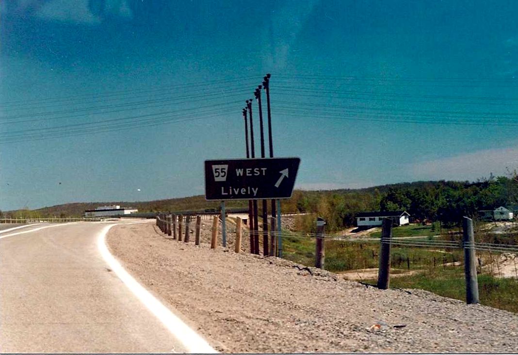 |
Ramp from Highway 17 EAST to Sudbury Road 55 WEST. Sudbury Road 55 represents a former alignment of Highway 17 beteween Lively and Whitefish that was bypassed by a 4 laned highway about 2 kilometres to the north. Summer of 1989. |
 |
Advance ground mounted signage for the Highway 69/SW Bypass exit from eastbound Sudbury Road 55 (former Highway 17 alignment), just west of Sudbury. Summer of 1989. |
| Westbound Highway 17, somewhere between Copper Cliff and Lively. This segment of Highway 17 is today known as Sudbury Road 55. Summer of 1989. |  |
| Westbound Highway 17 on the western outskirts of the urban area of Sudbury. The overpass in the background carries Sudbury Road 34 over Highway 17. It is interesting that as early as 1989, this segment of Highway 17 was already multiplexed with Sudbury Road 55. |  |
| Looking west along westbound Highway 17 at Kelly Lake Road, west of downtown Sudbury. Also pictured is the advance signage (municipally erected) for Sudbury Road 34, which acted as a less congested link between Highway 17 and Highway 144. Summer of 1989. | 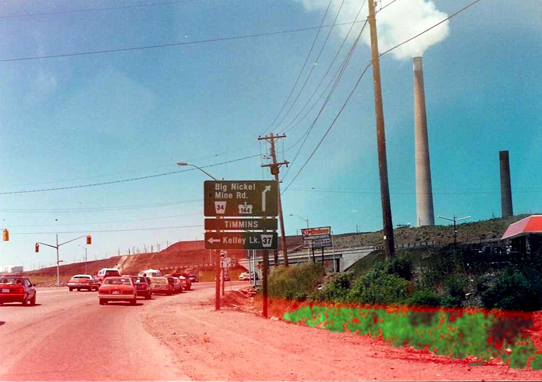 |
| Westbound Highway 17 in urban Sudbury. Not sure of the location. Summer of 1989. | 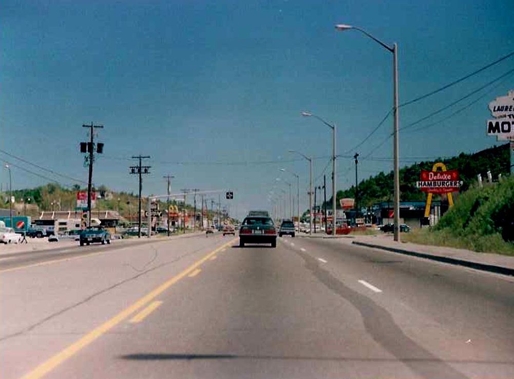 |
| Westbound Highway 17 in urban Sudbury. Not sure of the location. Summer of 1989. | 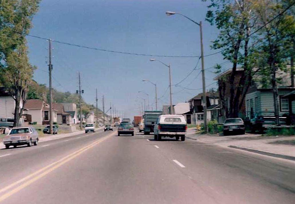 |
| Westbound Highway 17 in urban Sudbury. Not sure of the location. Notice the Highway 17 re-assurance shield to the right. Even though this stretch of Highway 17 through Sudbury is signed as Highway 17, I would wager that it is in fact a municipally maintained connecting link in the summer of 1989. | 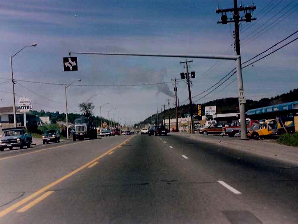 |
| Westbound Highway 17 in urban Sudbury. Not sure of the location. Summer of 1989. | 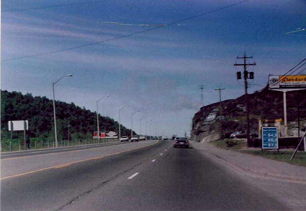 |