KING`S HIGHWAY NO. 2
City of Windsor
| |
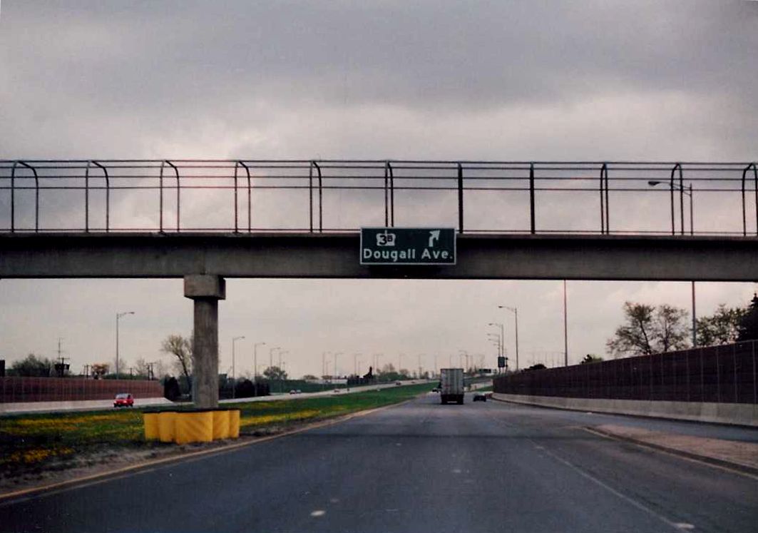
Rather small advance signage for Highway 3B/Dougall Avenue affixed to a pedestrian overpass on eastbound Highway 2/E.C. Row Expressway in Windsor. May of 1993. |
Municipality of Metropolitan Toronto
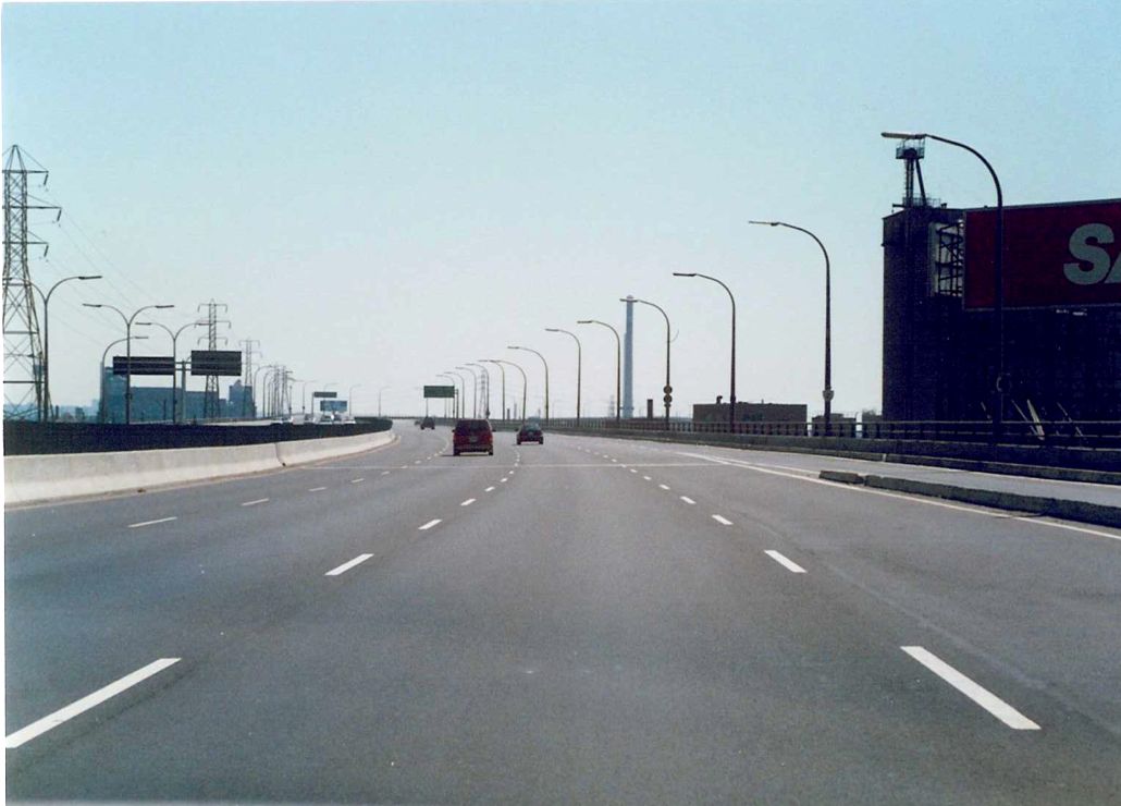
| Start of the QEW in Toronto at the Humber river bridge. Highway 2 departs with the ramp to the right along Lake Shore Blvd. Summer of 1989. | 
|
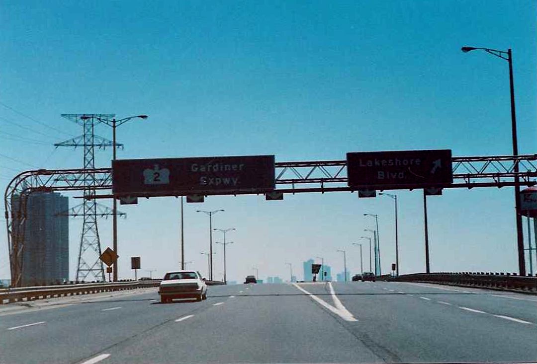 |
End of the QEW in Toronto at Highway 2/Gardiner Expressway. The most interesting thing about this gantry is that it appears in 1989, when this shot was taken, Highway 2 was solely designated on the Gardiner Expressway. I cant remember when the switch occurred, but during the late 1990s, prior to downloading, this gantry showed both the Gardiner and Lake Shore as Highway 2. |
 |
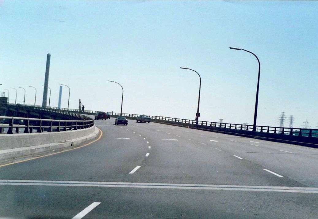
Transition from the Toronto-bound QEW to Highway 2/Gardiner Expressway in Toronto. On the right is the ramp from the Toronto-bound QEW to Lake Shore Blvd. The Toronto skyline is in the background across from the Humber Bay. Summer of 1989. |
 |
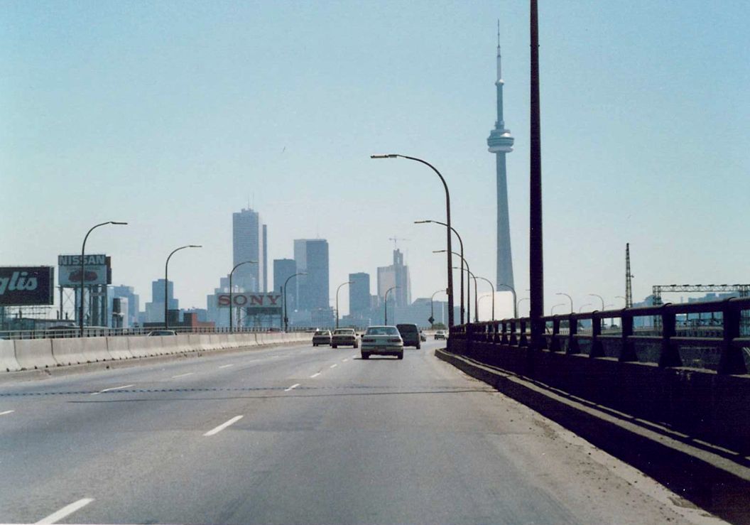
Looking east along Highway 2/Gardiner Expressway towards downtown Toronto from the Humber River Bridge. Summer of 1989. |
| Westbound Highway 2/Gardiner Expressway at the Jameson Avenue interchange. Summer of 1989. | 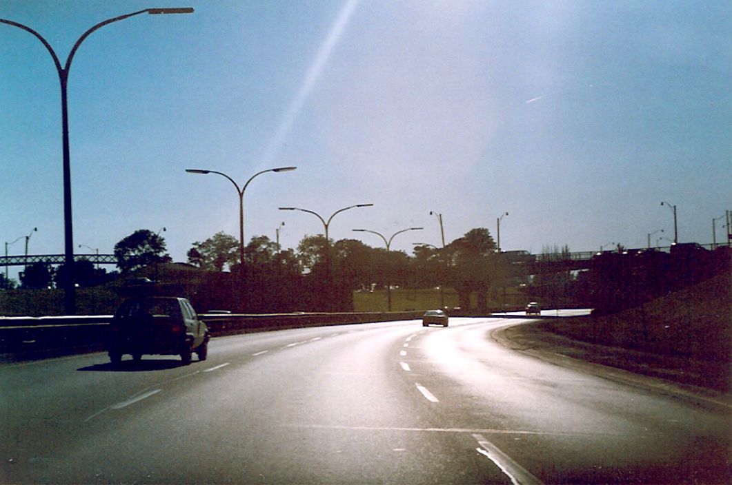 |
| Westbound Lake Shore Boulevard at Highway 2/Gardiner Expressway. To the right is the onramp to eastbound Highway 2/Gardiner Expressway. Summer of 1989. | 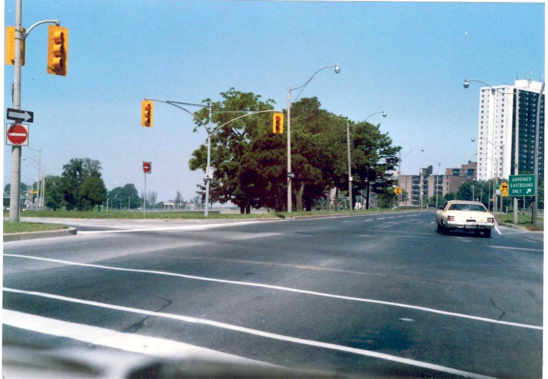 |
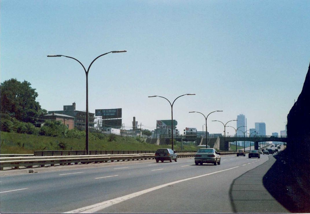 |
Facing east along the eastbound lanes of Highway 2/Gardiner Expressway just east of the Jameson Avenue interchange. Summer of 1989. |
| Advance signage for the upcoming Dunn Avenue RIRO interchange. It would not surprise me at all if this sign is the same one that exists currently at this interchange. Summer of 1989. | 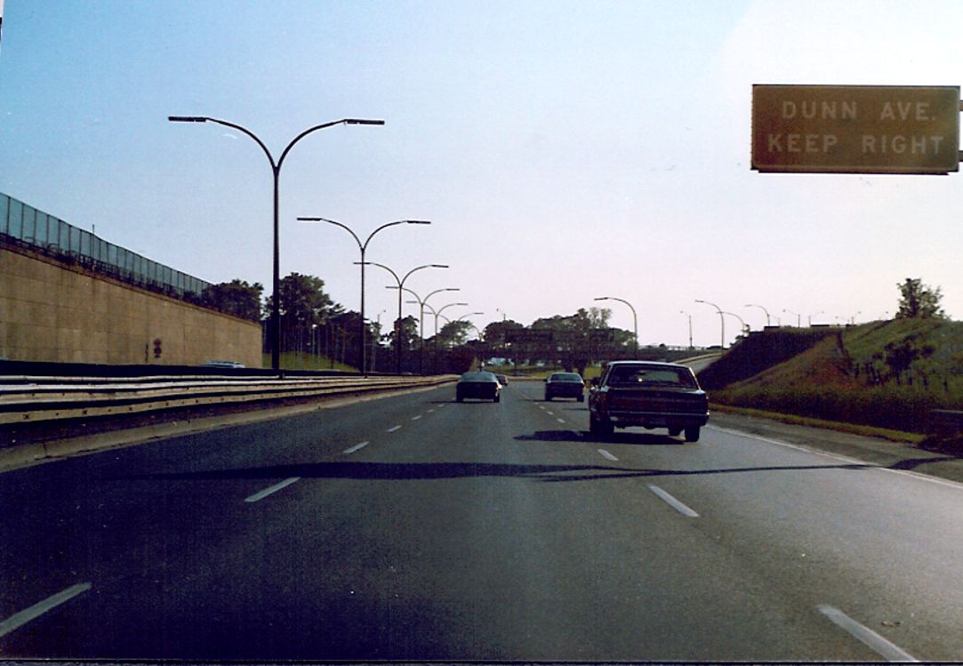 |
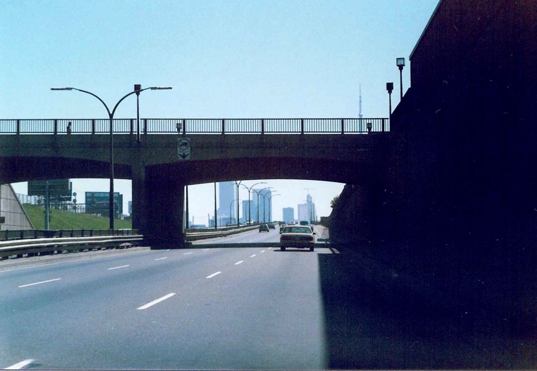 |
Eastbound Highway 2/Gardiner Expressway facing east at the Dufferin Street overpass in Toronto. Summer of 1989. |
 |
Eastbound Highway 2/Gardiner Expressway just east of the Dufferin Street overpass. Summer of 1989. |
| Advance signage for Jameson Avenue and Dunn Avenue on westbound Highway 2/Gardiner Expressway in Toronto, just in front of the Dufferin Street overpass. Summer of 1989. | 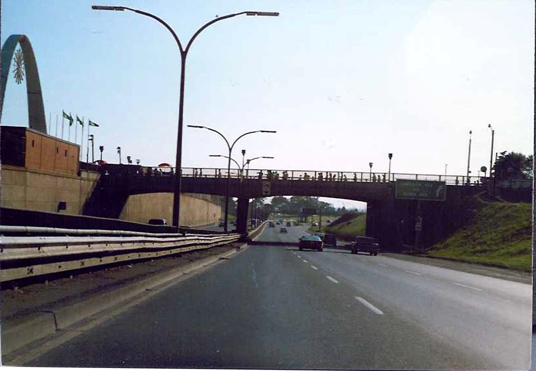 |
 |
Appears to be eastbound Highway 2/Gardiner Expressway near Strachan Avenue. Summer of 1989. |
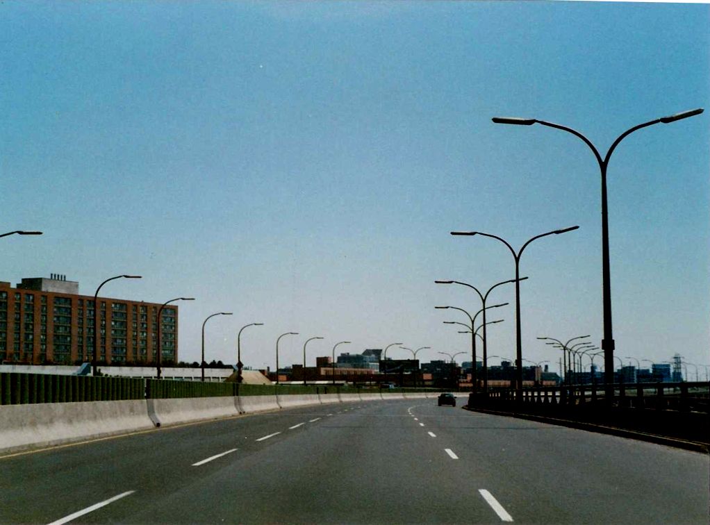 |
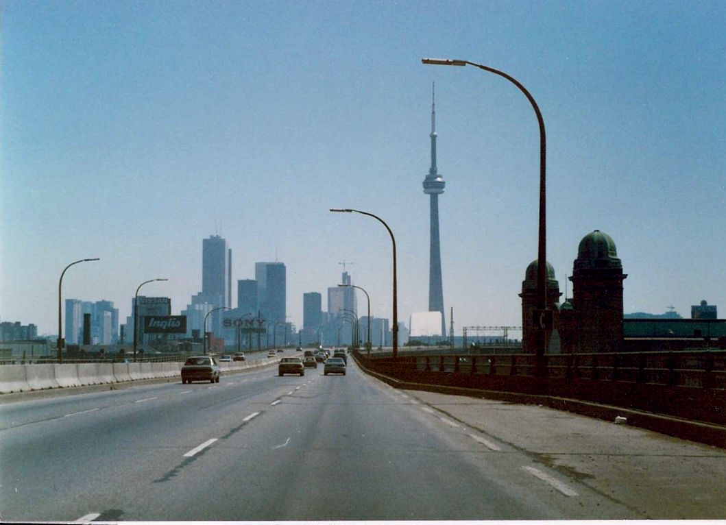
Highway 2/Gardiner Expressway in Toronto. Unknown location. Summer of 1989. |
| Appears to be westbound Highway 2/Gardiner Expressway at Jarvis or Yonge Street in Toronto. Not entirely sure. Summer of 1989. | 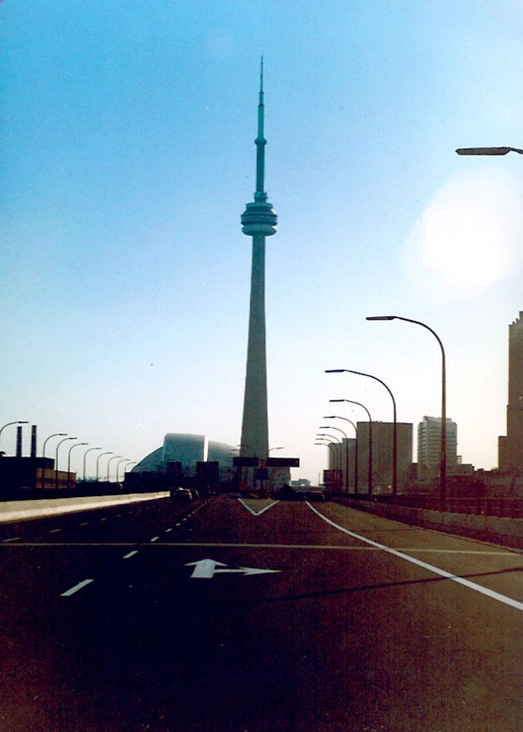 |
 |
Appears to be eastbound Highway 2/Gardiner Expressway just east of Jarvis Street. Notice the Highway 2 route marker to the right. Summer of 1989. |
 |
Eastbound Highway 2/Gardiner Expressway approaching the onramps to the northbound Don Valley Parkway. Summer of 1989. |
| Terminus of the Don Valley Parkway with Highway 2/Gardiner Expressway in Toronto. This old school junction assembly existed as recently as 2002. Spring of 1991. | 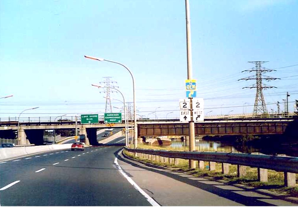 |
City of Cornwall
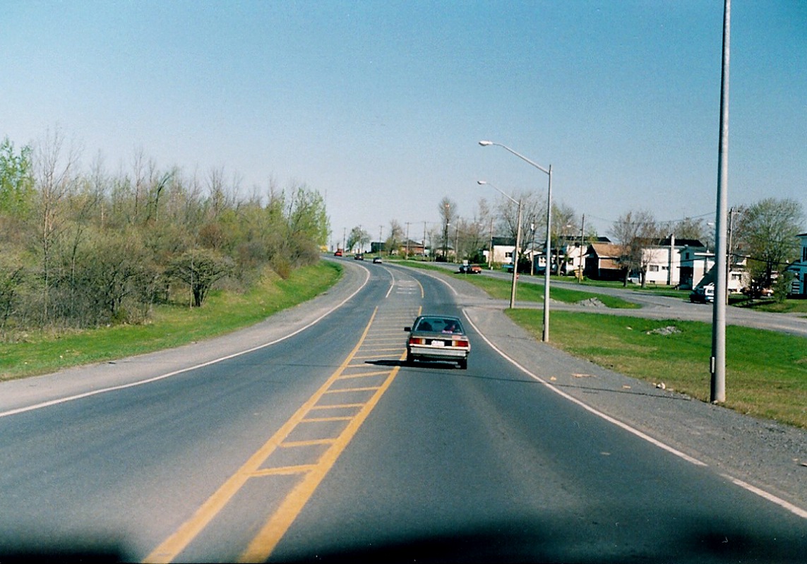 |
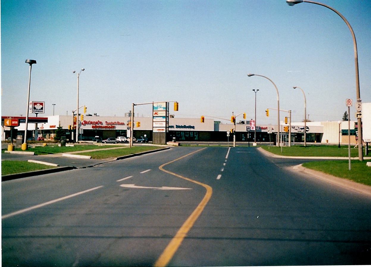
Looking east along Highway 2 (Vincent Massey Boulevard) in the west end of the City of Cornwall. April of 1991. |
 |
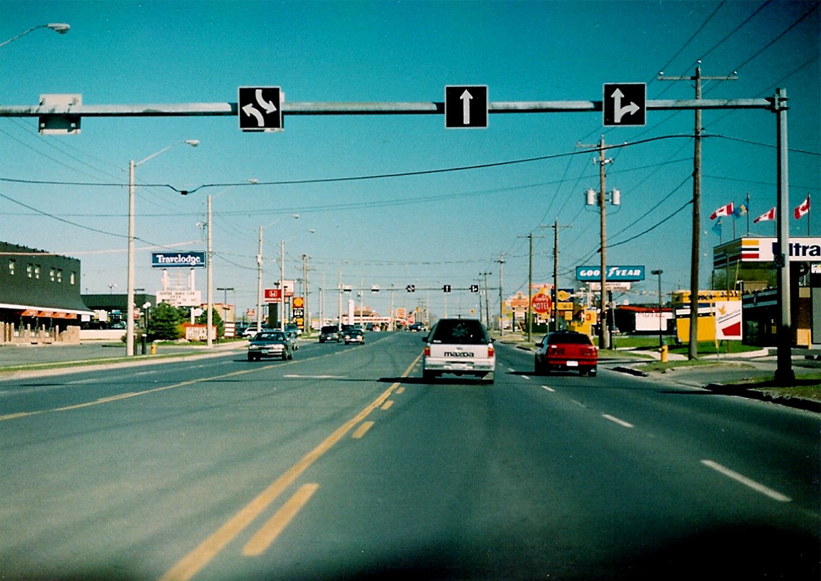
Highway 2 (Vincent Massey Boulevard) looking east towards its junction with Highway 138 in the City of Cornwall. Highway 2 is multimplexed with Highway 138 for 3 kilometres southerly of this point. April of 1991. |
 |
Looking south (east) along Highways 2 and 138 towards 9th Street intersection. April of 1991. |
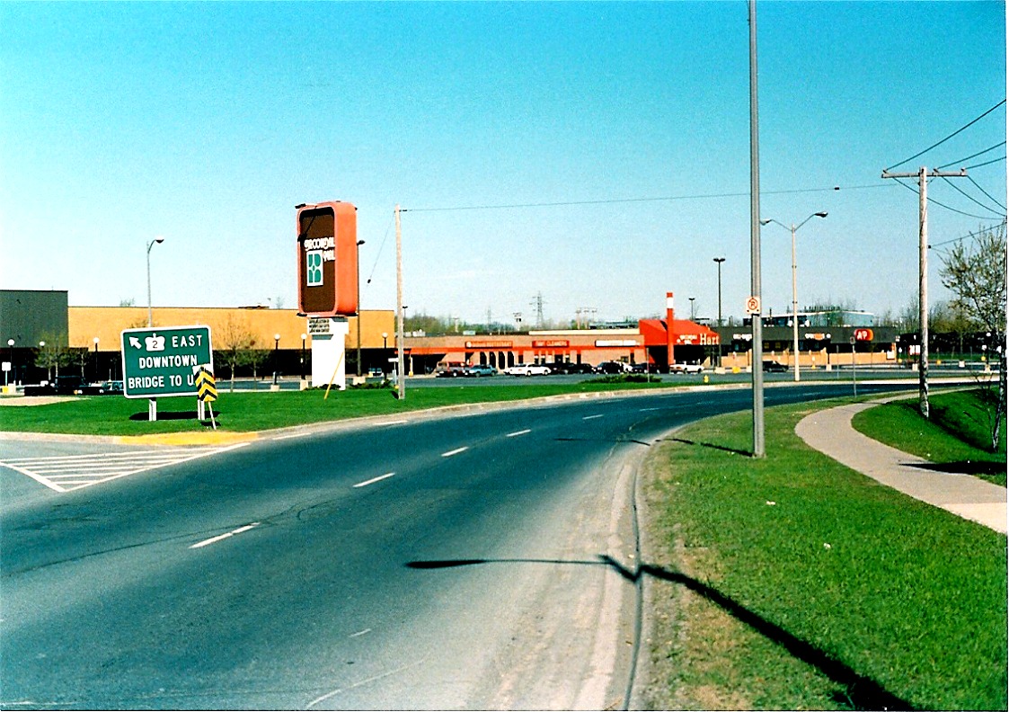 |
Looking west along the round-a-bout that joins Highway 2 and 138 with 7th Street in Cornwall. Judging by the signage in some of these pictures, Highway 2 seems to be prefered over Highway 138, despite the fact that both routes are designated officially along this stretch of Brookdale Avenue. April of 1991. |