KING`S HIGHWAY NO. 400
City of North York
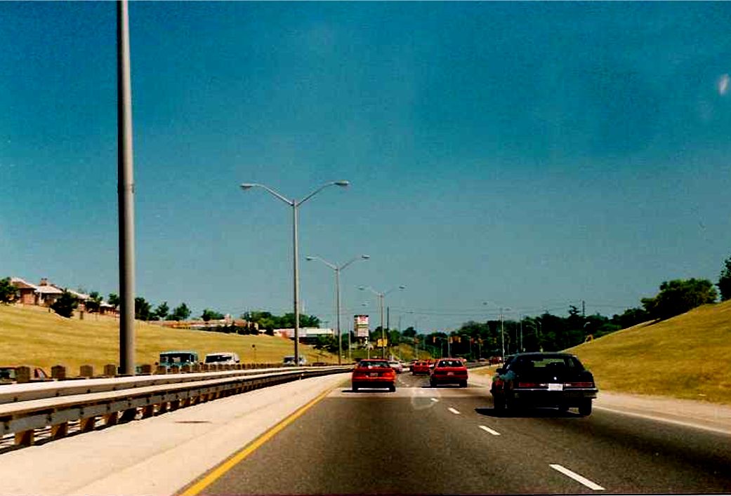
| Looking south along Black Creek Drive towards Lawrence Avenue in North York, about 500 metres south of the southern terminus of Highway 400. Black Creek Drive (originally known as the Northwest Arterial Road) was constructed by the MTO between 1978 and 1982. The original plan was to incorporate this limited access, at-grade crossing expressway into a future Highway 400 extension. With the sentiment growing against building expressways within the limits of Metro Toronto, the MTO scrapped the plans and transfered Black Creek Drive to Metro Toronto in 1982. Summer of 1989. | |
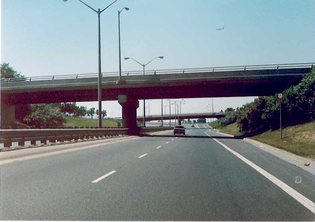 |
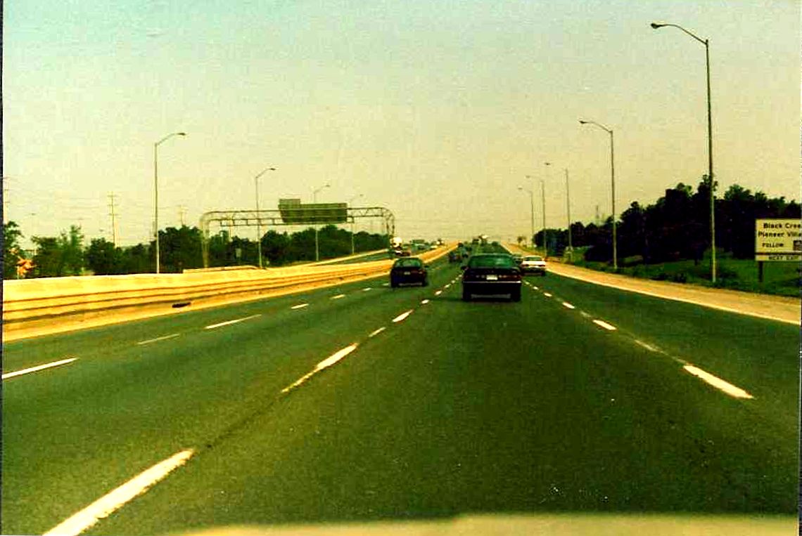
Looking north along Black Creek Drive in North York at the Queen`s Drive overpass. Highway 400 begins about 300 metres north of this point. Summer of 1989. |
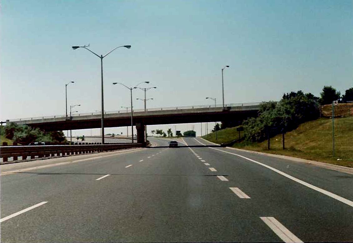 |
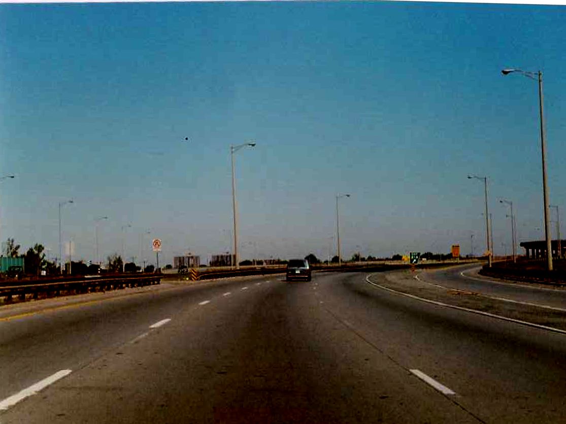
Looking north from Black Creek Drive towards the southern terminus of Highway 400. The southern limits of the Maple Leaf Drive overpass, pictured in the background, acts as the point of demarkation between Highway 400 and Black Creek Drive. Summer of 1989. |
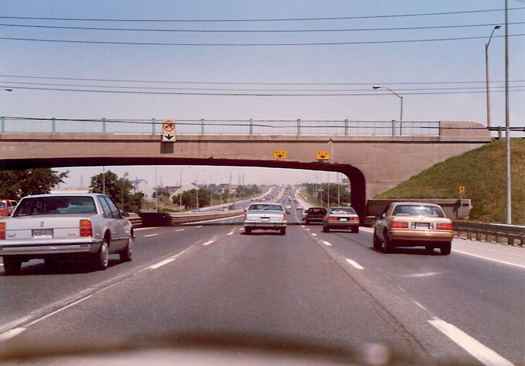
| Partial view of the Queens Drive overpass from the southbound lanes of Black Creek Drive in North York. Summer of 1989. | 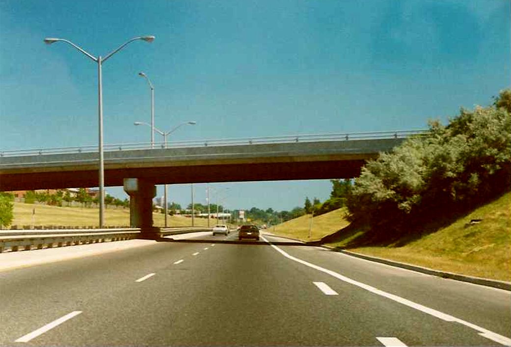 |
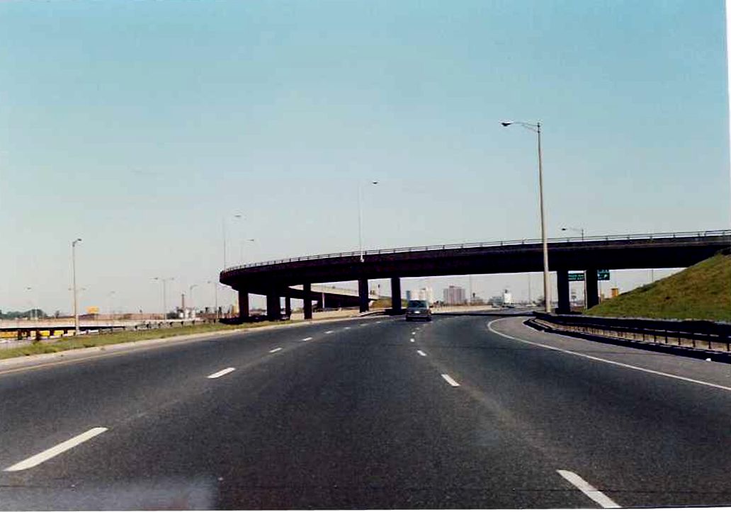
| Partial view of the Maple Leaf Drive overpass from the southbound lanes of Highway 400 in North York. Black Creek Drive begins on the other side of this overpass. Summer of 1989. | 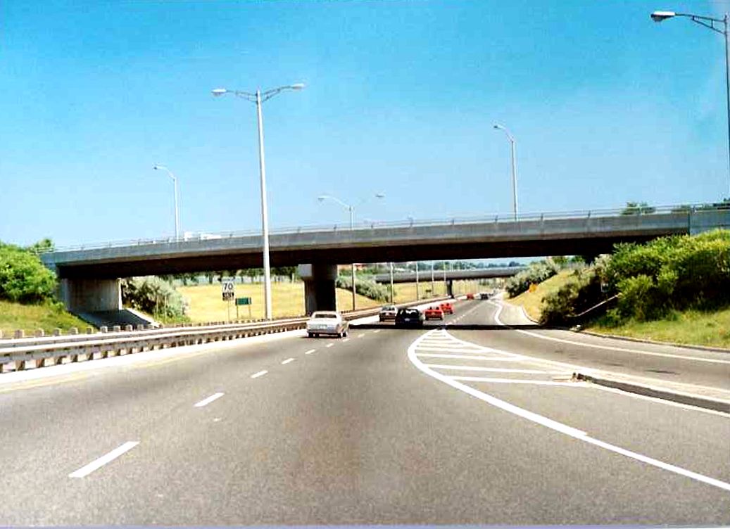 |
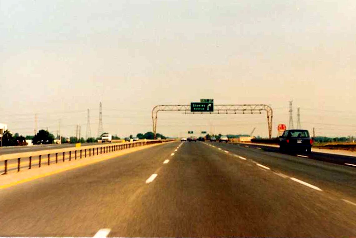
| Partial view of the overhead gantry located on the southbound Highway 400 exit to Jane Street in North York. Despite what the pullthrough signage states, the official start of Black Creek Drive is not for another 400 metres. Summer of 1989. | 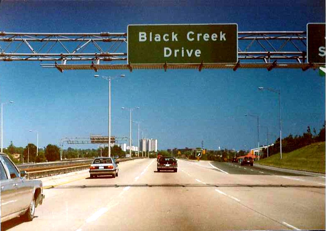 |
 |
Looking north along Highway 400 about 200 metres south of the Highway 401 interchange in North York. The ramp to the right departs the northbound Highway 400 towards the eastbound Highway 401 collector lanes. Summer of 1989. |
 |
Looking north along Highway 400 at the Highway 401 interchange in North York. The flyover ramp in the background carries southbound Highway 400 traffic to the eastbound Highway 401 collector lanes. Summer of 1989. |
| Partial view of the Highway 400 overpass from the ramp from Highway 400 southbound to Highway 401 westbound. Summer of 1989. |  |
| Looking south along the southbound lanes of Highway 400 towards the Highway 401 overpass in North York. To the left in the background you can see the offramps that depart from the southbound 400 to Highway 401. Summer of 1989. | 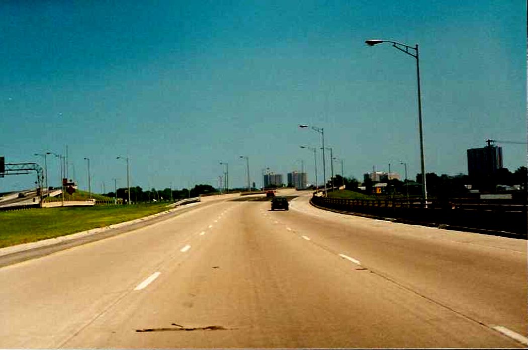 |
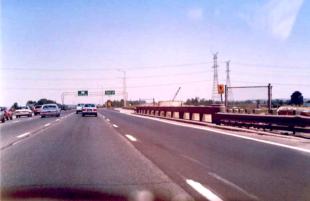
| Advance signage for Highway 401 along the southbound Highway 400 in North York. Summer of 1989. | 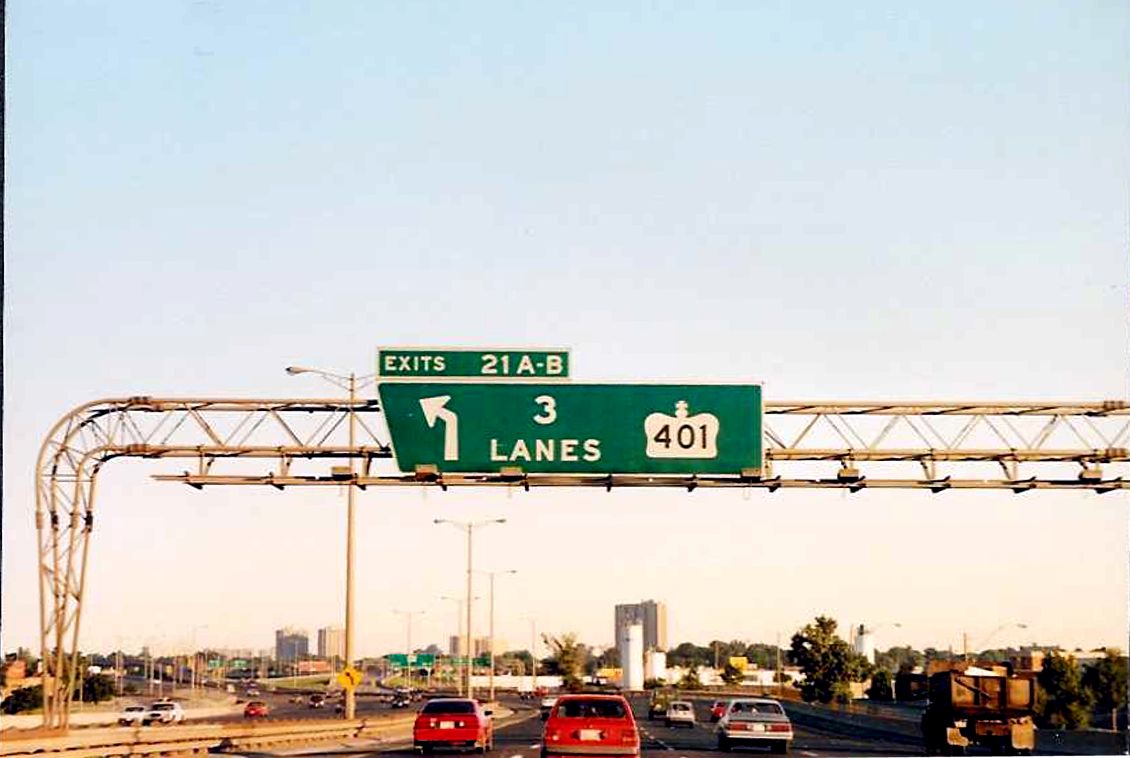 |
 |
Distance signage located on the northbound Highway 400, about 500 metres or so north of the Highway 401 interchange. Very similar signage exists at this location to this day. Summer of 1989. |
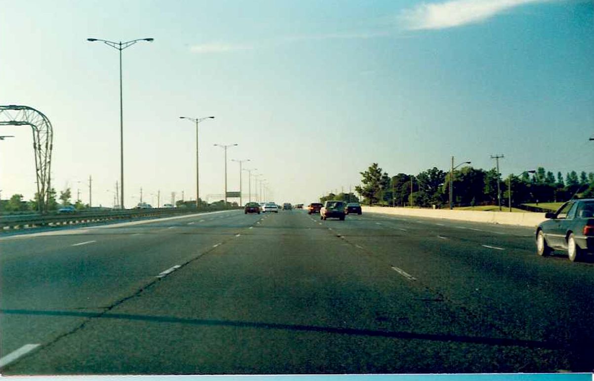 |
Facing north along the northbound lanes of Highway 400 between Highway 401 and Sheppard Avenue in North York. Summer of 1989. |
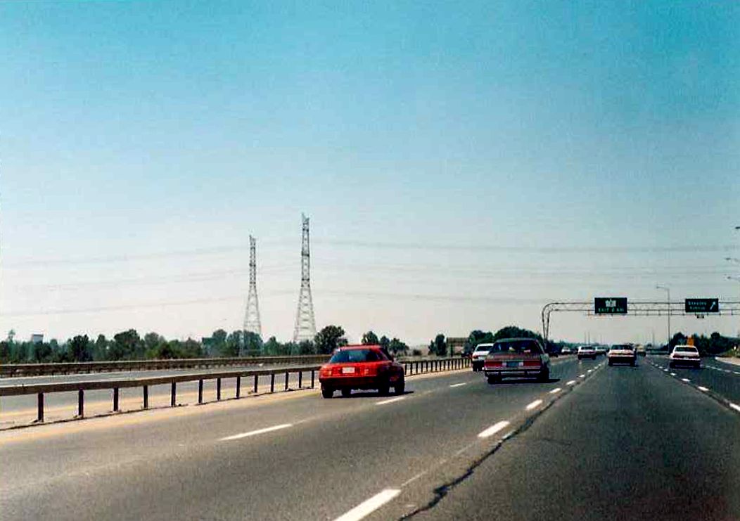
| Diagrammical sign for the upcomming Highway 401 interchange, located on the southbound 400. Unlike today, there is no mention of Jane Street on this sign. Summer of 1989. | 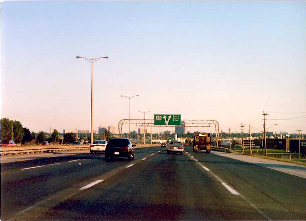 |
 |
Looking north along the northbound lanes of Highway 400 towards the Sheppard Avenue overpass in North York. Highway 400 was an 8 lane cross-section through Metro Toronto in 1989, widened to 12 lanes in 1999. The Sheppard Avenue overpass was replaced in advance of this widening in 1994. Summer of 1989. |
| Sign affixed to the Sheppard Avenue overpass on southbound Highway 400 warning motorists to reduce speed in wet weather. Summer of 1989. | 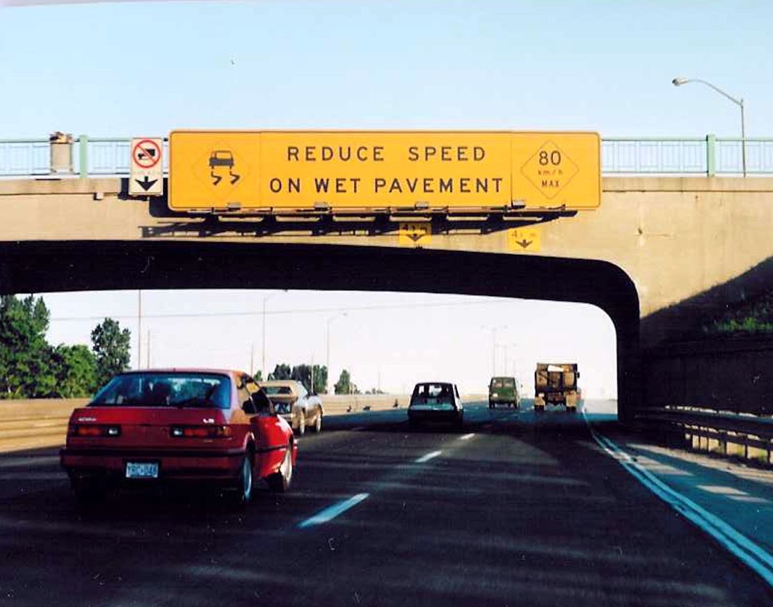 |
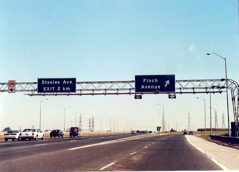
| Facing south towards Toronto along the southbound lanes of Highway 400 at Finch Avenue. Highway 400 was only an 8 lane cross-section in 1989 from Finch Avenue to Highway 401, compared to 12 lanes today. | 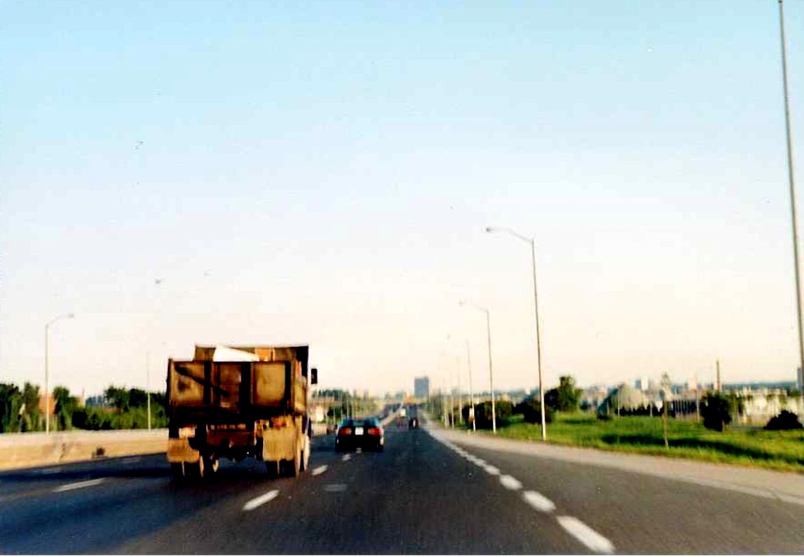 |
 |
View of an overhead gantry located at the northbound Highway 400 exit to Finch Avenue in North York. Summer of 1989. |
| Appears to be the westbound lanes of Finch Avenue facing west at the Highway 400 overpass. Summer of 1989. | 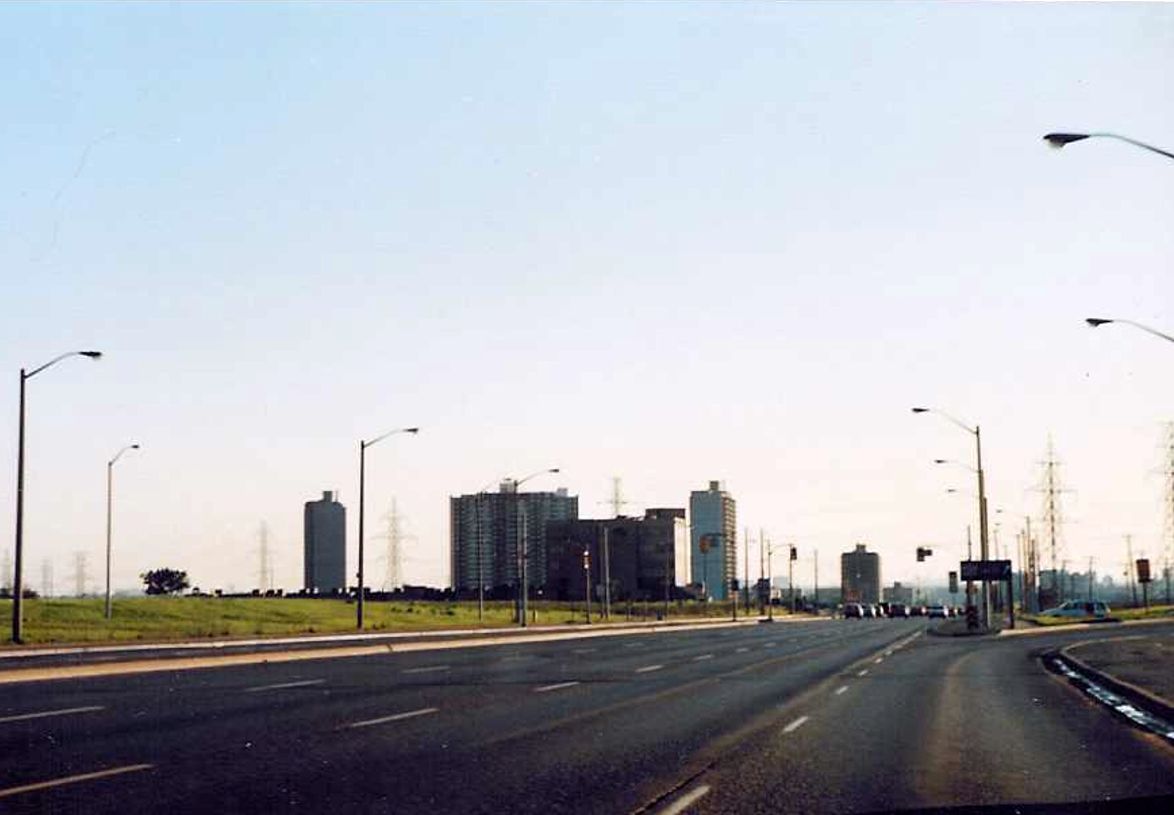 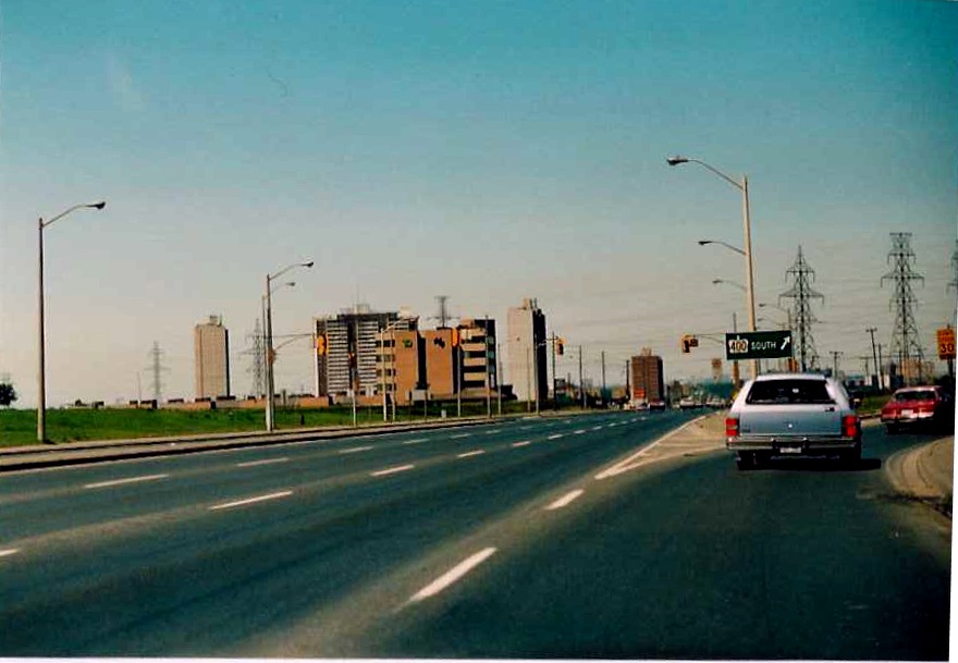 |
| Overhead onramp entrance signage for southbound Highway 400 located on westbound Finch Avenue in North York. Summer of 1989. |  |
| Westbound Finch Avenue approaching Highway 400 in North York. Summer of 1989. | 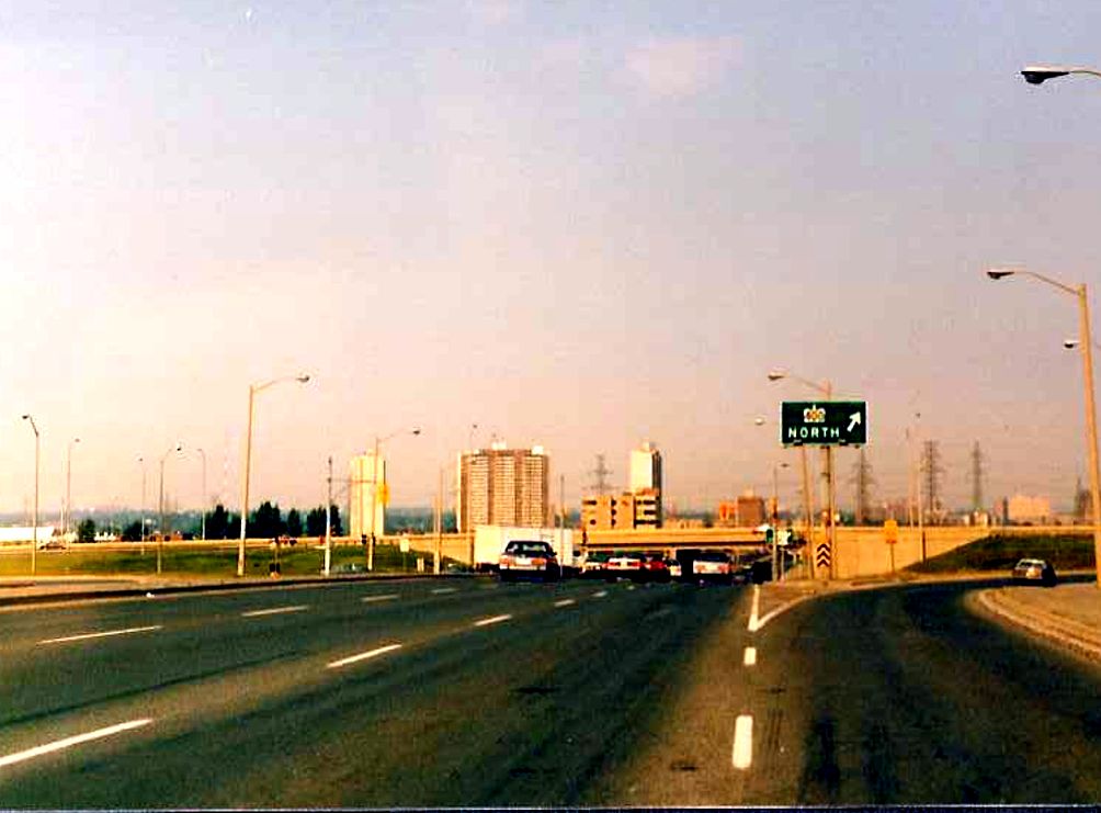  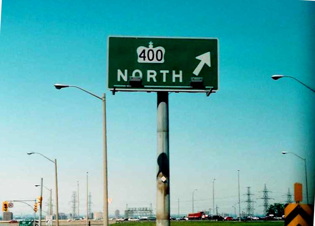 |
 |
Appears to be the northbound Highway 400 lanes between Finch Avenue and Steeles Avenue in North York. Summer of 1989. |
 |
Northbound Highway 400 lanes, about 100 metres north of the location of the previous photo. Summer of 1989. |
 |
Construction Information Sign located on the northbound Highway 400 north of Finch Avenue. Summer of 1989. |
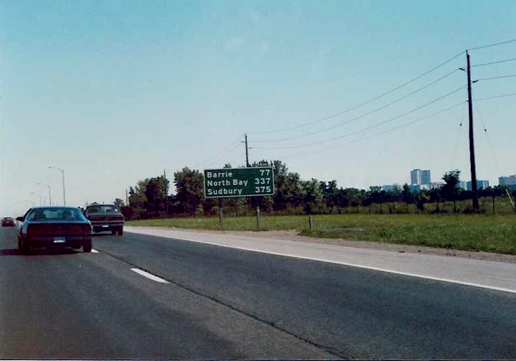
| Looking south along the southbound lanes of Highway 400 just south of the Steeles Avenue interchange. The sign on the right, which indicates which routes to utilize to access downtown Toronto, exists today in bilingual form. However, unlike today, in 1989 Highway 11A was referenced (logically so) as the direct route to access downtown Toronto. Interestingly, any mention of Highway 11A was expunged from this sign well before the downloading of 1997 and 1998. My guess is that it was removed when the sign was changed to the bilingual standard. | 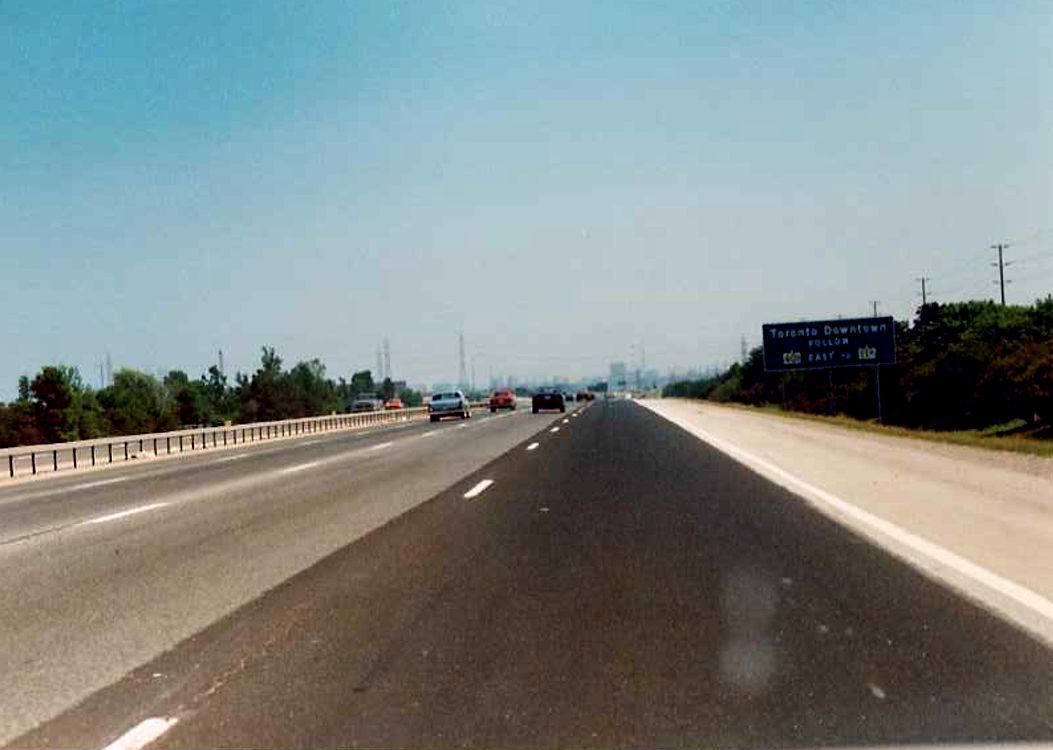 |
 |
Advance signage for Steeles Avenue on the northbound lanes of Highway 400. Somewhat out of focus, but you can see some construction happeneing in the background on the right side. This would be the initial work on the ramps to the future Highway 407. Summer of 1989. |
  |
Facing north along the northbound Highway 400 towards the Steeles Avenue exit ramp. The underpass in the foreground carries Steeles Avenue under Highway 400. Ramps for the future Highway 407 under construction in the background. In the photo on the right, you can see the old-style "box beam" median, which every couple of years gets replaced with the more modern "Ontario TallWall" the further north you go on the 400. Summer of 1989. |
| Entering Metropolitan Toronto on the southbound lanes of Highway 400 at Steeles Avenue. Toronto has about half a million more people living within its boundaries since the time that this photo was taken. Summer of 1989. | 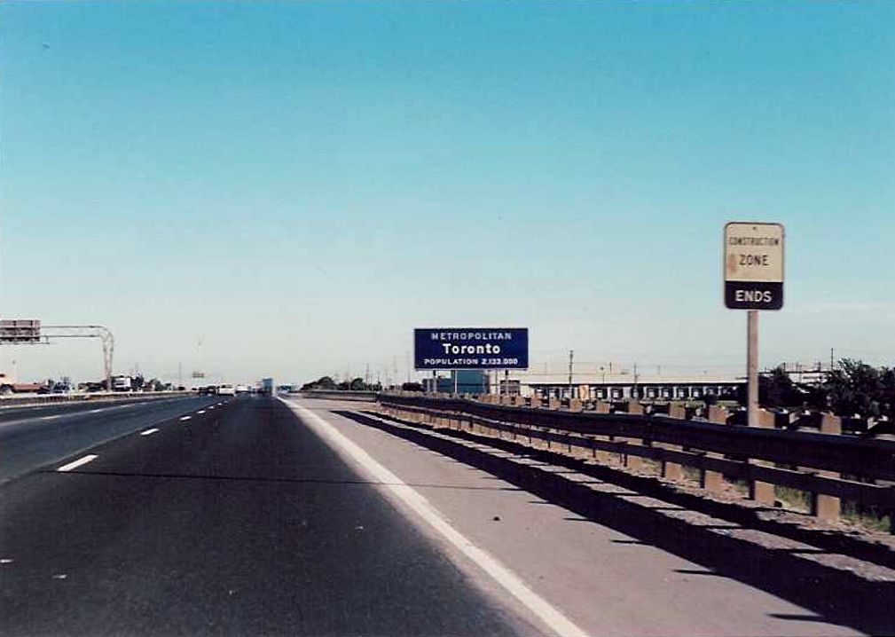 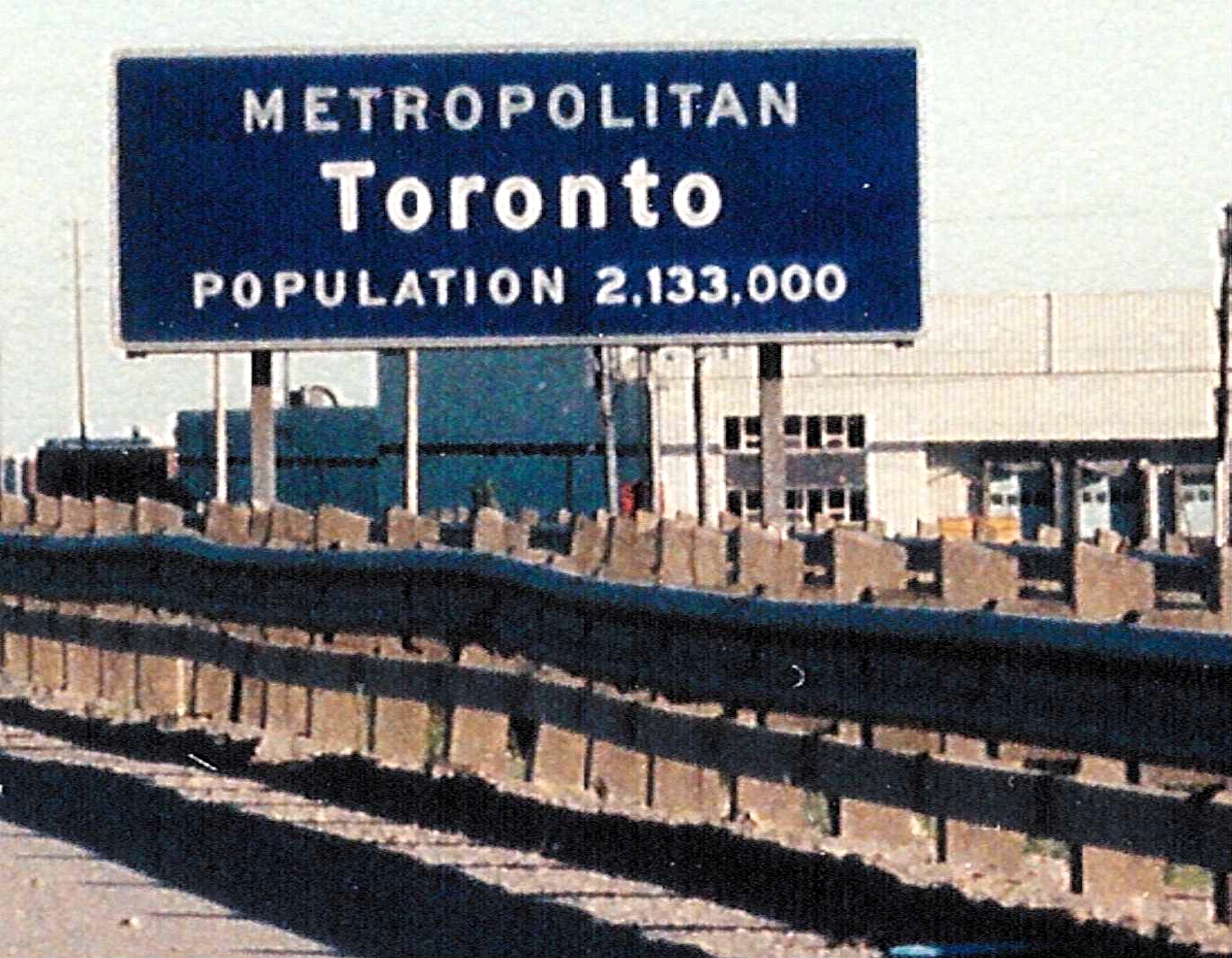 |
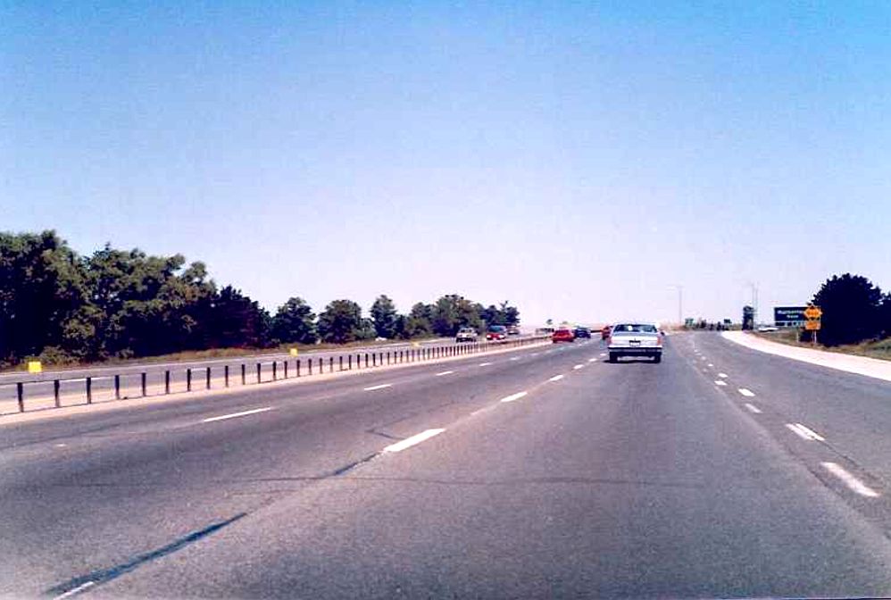
| View of the then newly widened Highway 7 overpass from the southbound lanes of Highway 400 in Vaughan. To the right you can see the extra space cleared to facilitate the future Highway 407 onramps. Summer of 1989. |  |
| 1km advance signage for Highway 7 located on the southbound Highway 400 in Vaughan. Notice how it appears in the first photo that the ramp is only a short distance ahead of the sign, certainly shorter than 1 km. Summer of 1989. |  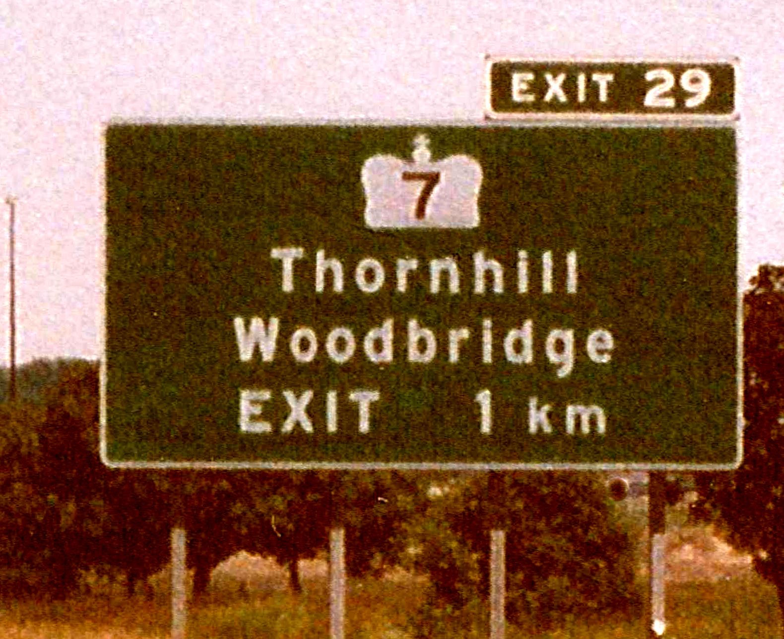 |
| Looking south along the southbound Highway 400 between Langstaff Road and Highway 7 in Vaughan. Summer of 1989. | 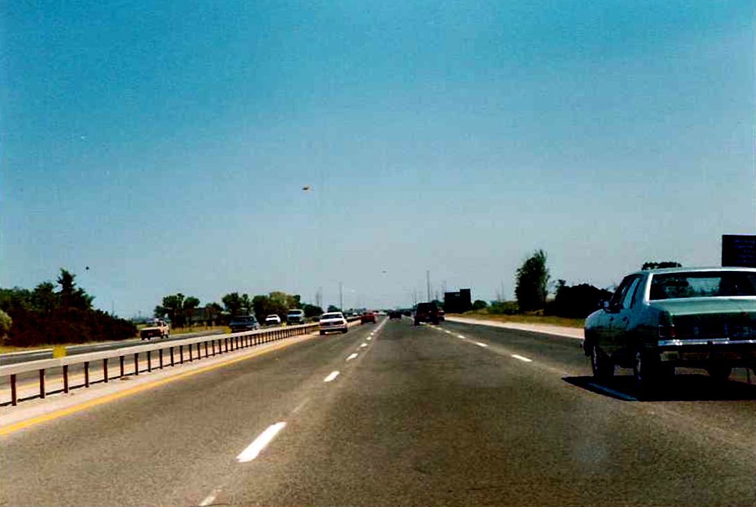 |
 |
Facing north along the northbound Highway 400 towards the Rutherford Road interchange in Vaughan. Summer of 1989. |
| Looking south along the southbound lanes of Highway 400 towards the Rutherford Road overpass in Vaughan. Rutherford road met Highway 400 with only a partial interchange in 1989. | 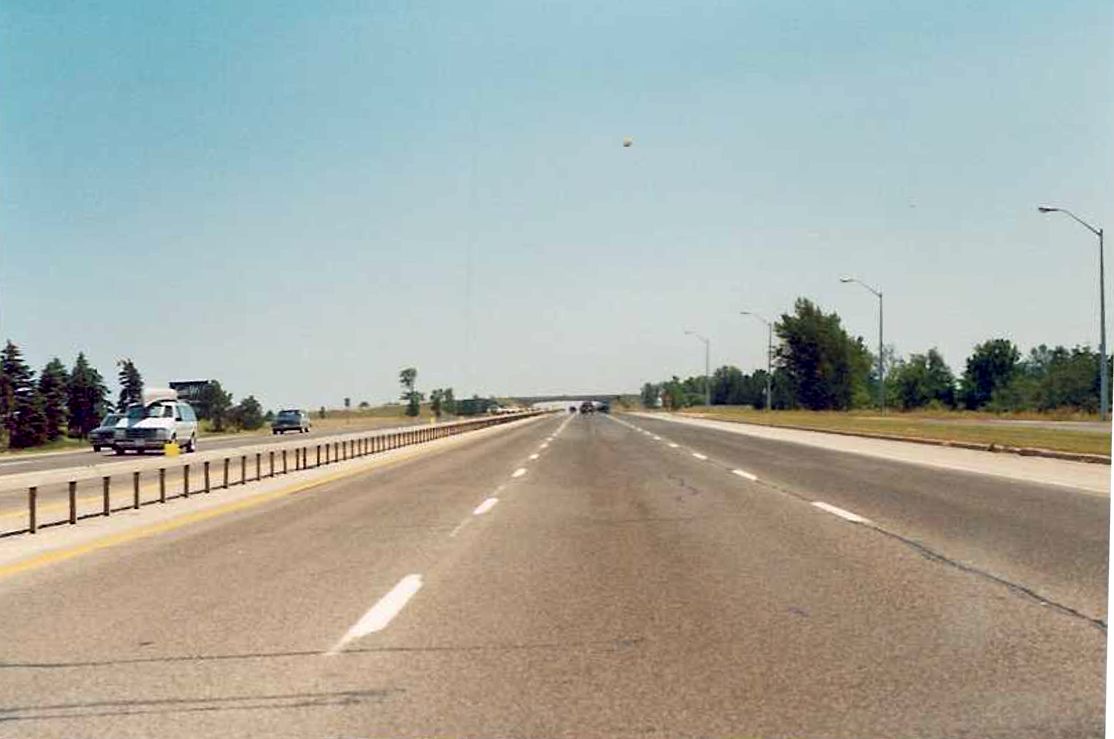 |
 |
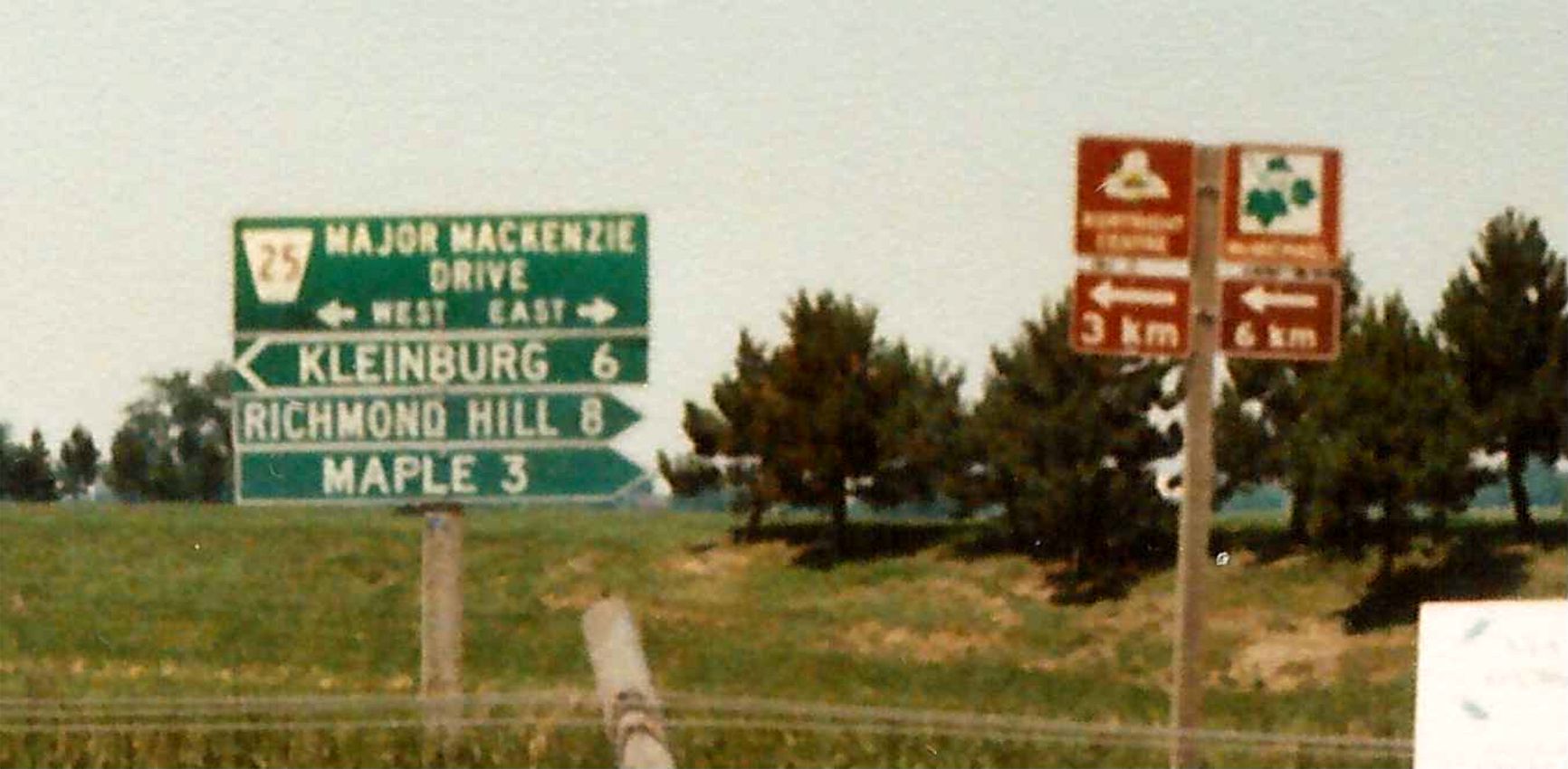
Northbound Highway 400 exit to Major Mackenzie Drive in Vaughan. Major Mackenzie Drive met the 400 with a substandard Parclo A2 interchange in 1989, and was only replaced with a more traditional, suburban Parclo A4 interchange in the late 1990s. |
 |
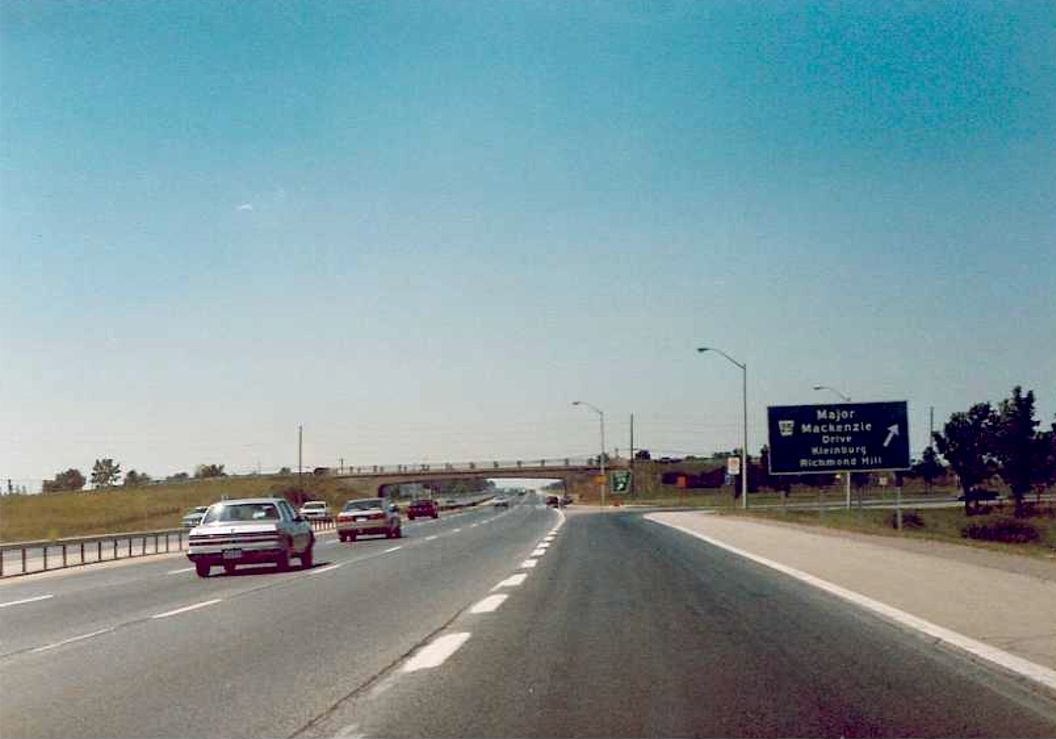
Facing north along Highway 400 towards the Major Mackenzie Drive overpass in Vaughan. Today, Highway 400 has a minimum 8 lane cross-section between Highway 407 and Major Mackenzie Drive. Summer of 1989. |
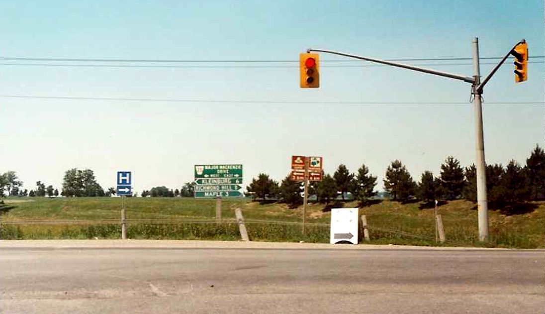  |
Signage for Major Mackenzie Drive located at the terminus of the northbound Highway 400 offramp. Summer of 1989. |
| 1km advance signage for Major Mackenzie Drive located on the southbound Highway 400 in Vaughan. This sign was a bit odd for its time, since the word "EXIT" does not precede the distance number. Summer of 1989. | 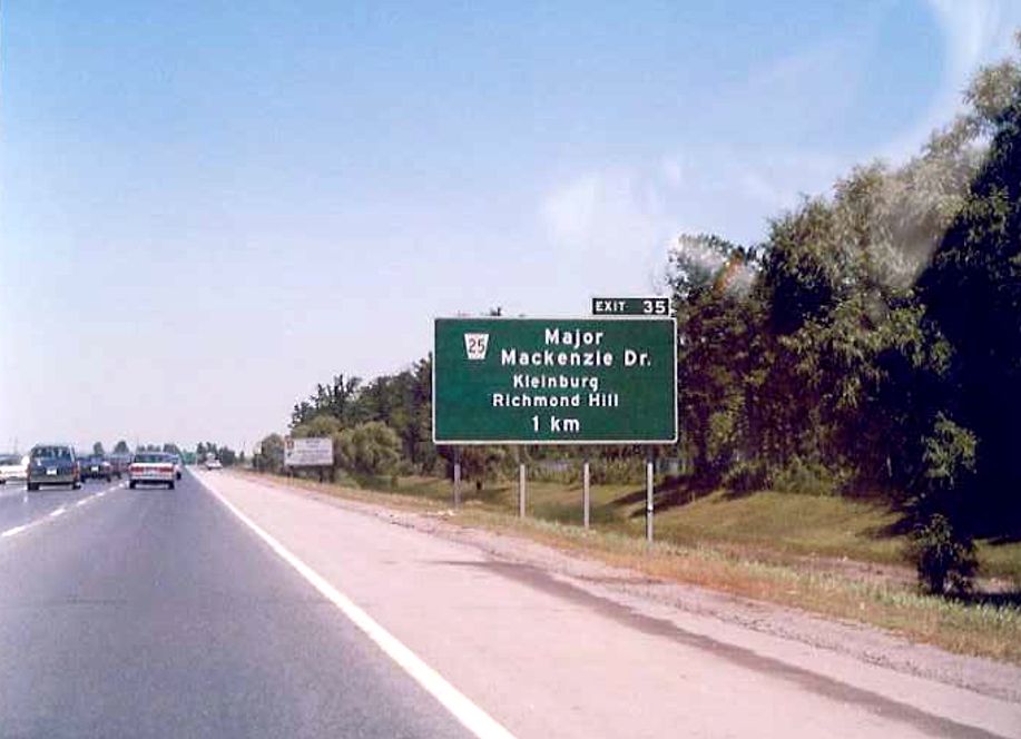 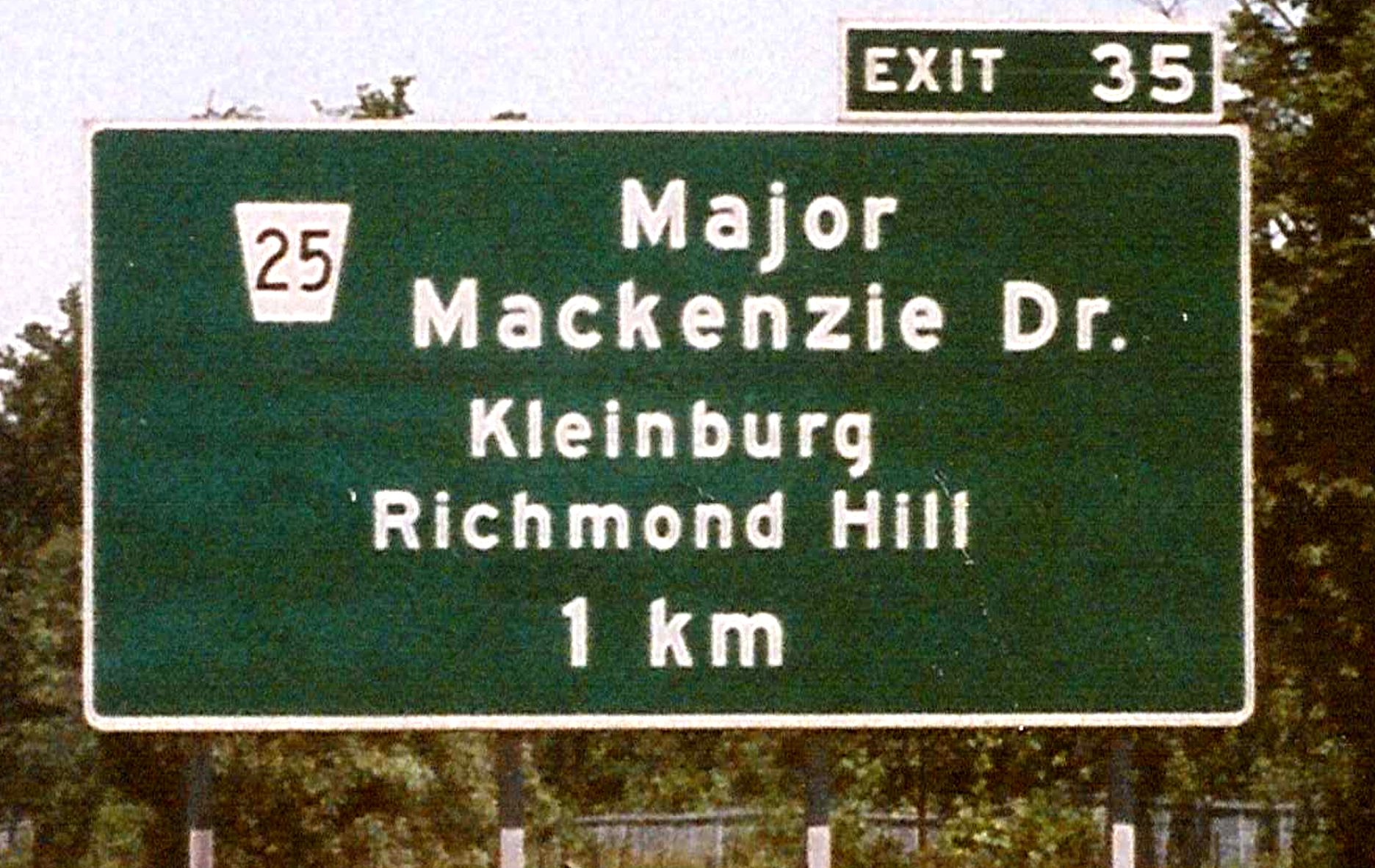 |
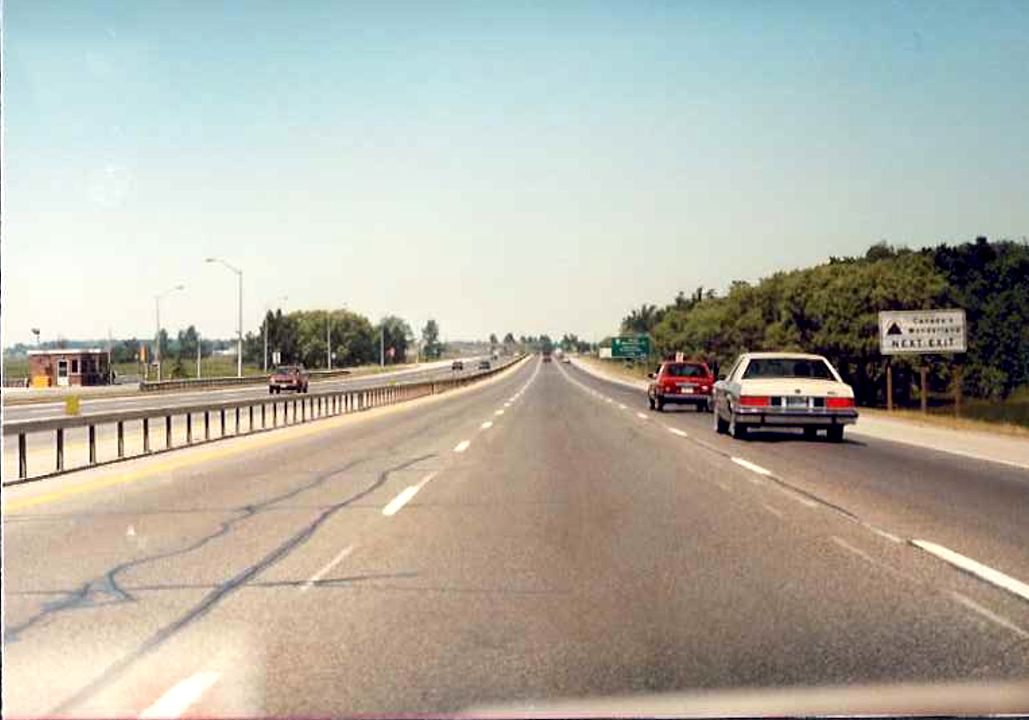 |
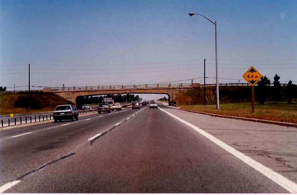
Looking north along the northbound lanes of Highway 400 between Rutherford Road and Major Mackenzie Drive. Summer of 1989. |
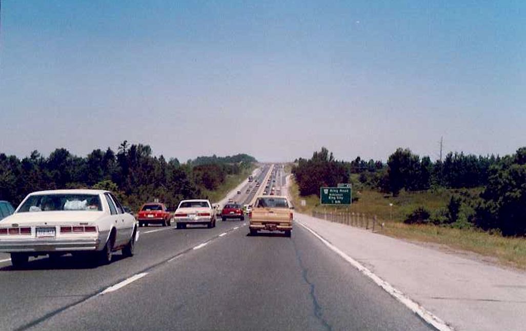 |
Looking north along the northbound Highway 400, just north of the King-Vaughan townline towards the King Road interchange in King City. Summer of 1989. |
| Facing south along the southbound lanes of Highway 400 towards the Highway 88 overpass. Summer of 1989. | 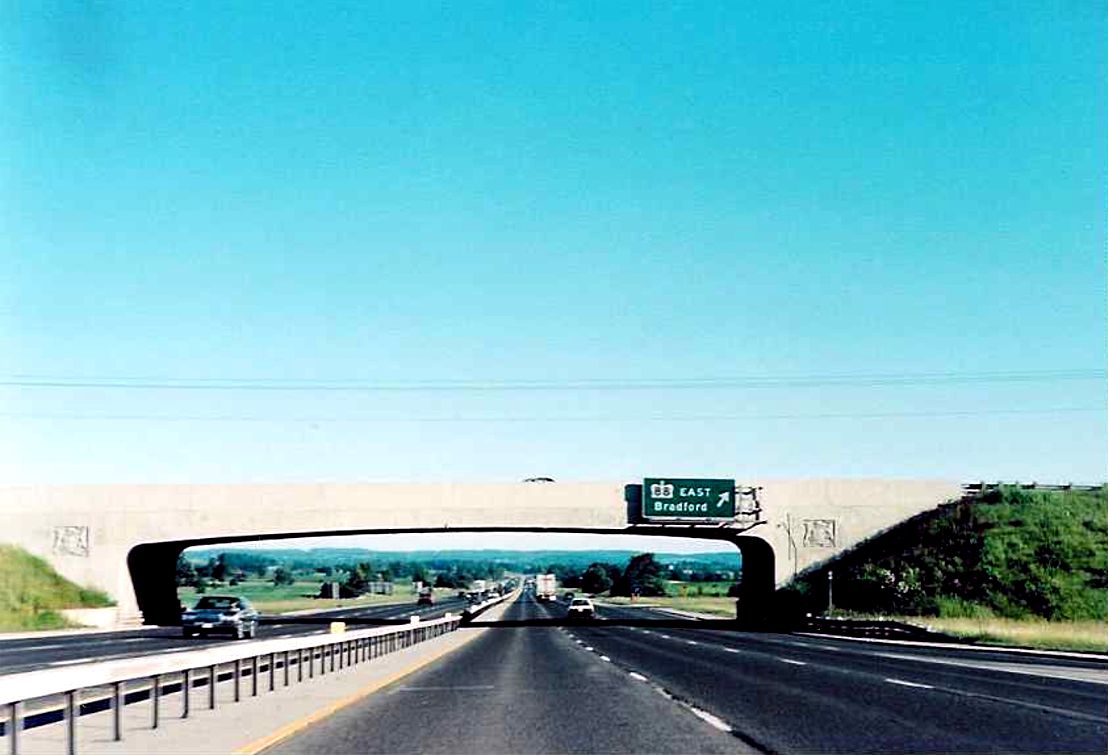 |
| Looking south along southbound Highway 400 at the underpass for West Gwillimbury concession 9. Summer of 1989. | 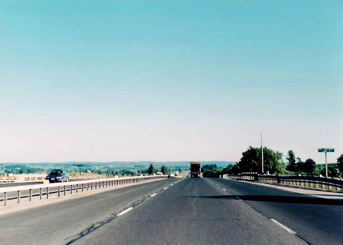 |
| Southbound Highway 400 approaching the Highway 90 interchange in Barrie. Summer of 1989. | 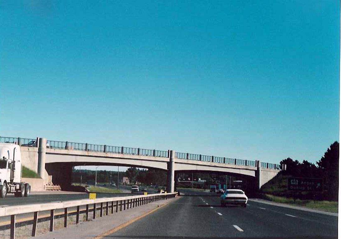 |
| Facing south along southbound Highway 400 towards the Sunnidale Road overpass in Barrie. Summer of 1989. | 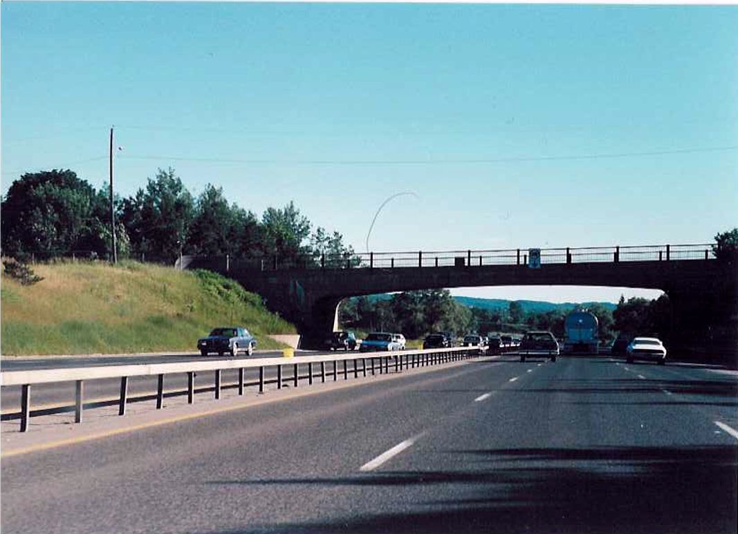 |
| Facing south along southbound Highway 400 towards the Highway 26 and 27 (Bayfield Street) overpass in Barrie. Summer of 1989. | 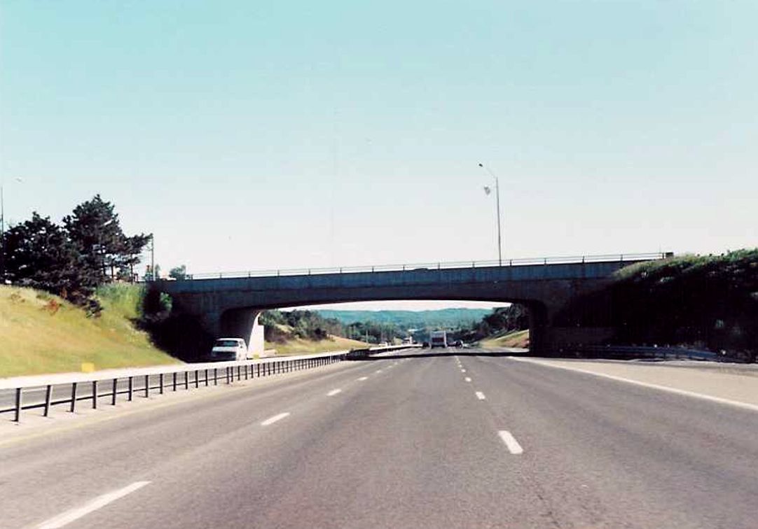 |
| Looking along southbound Highway 400 towards the Saint Vincent Street overpass in Barrie. Summer of 1989. | 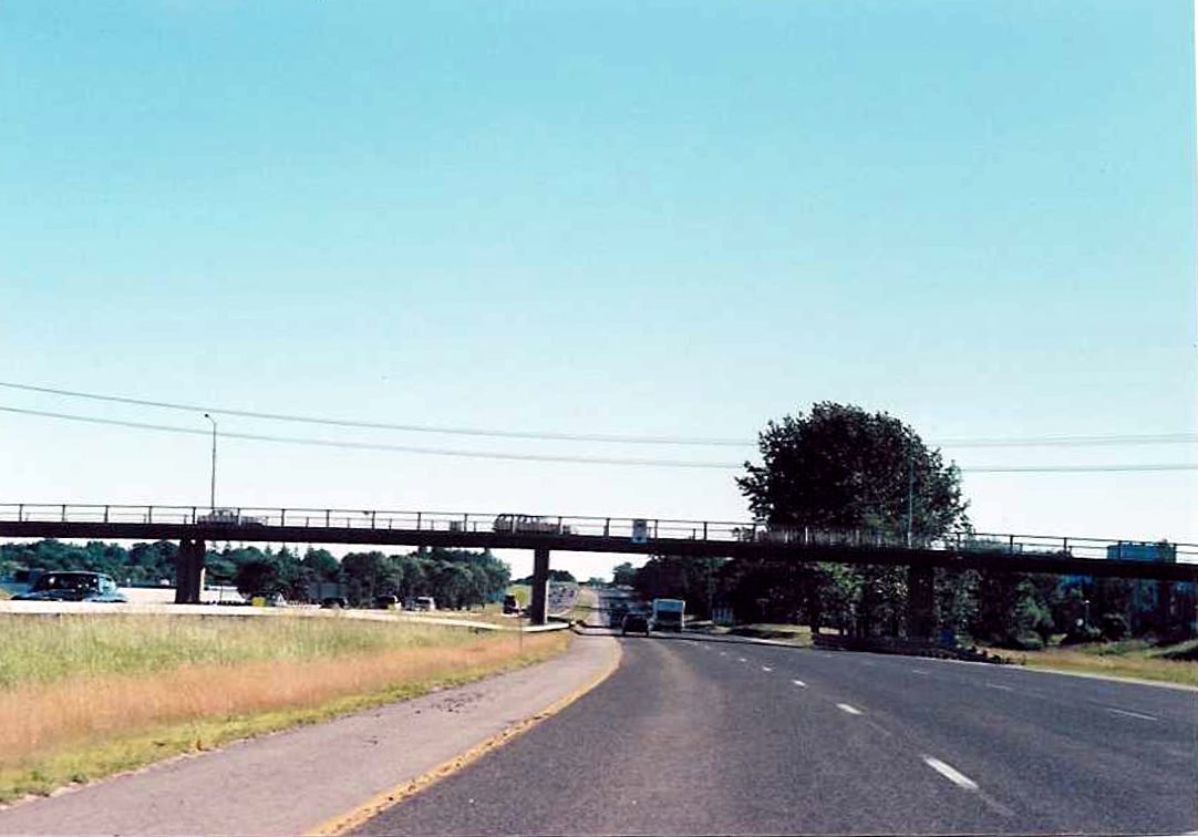 |
| Southbound Highway 400 just south of its junction with Highway 11 near the hamlet of Crown Hill. Summer of 1989. | 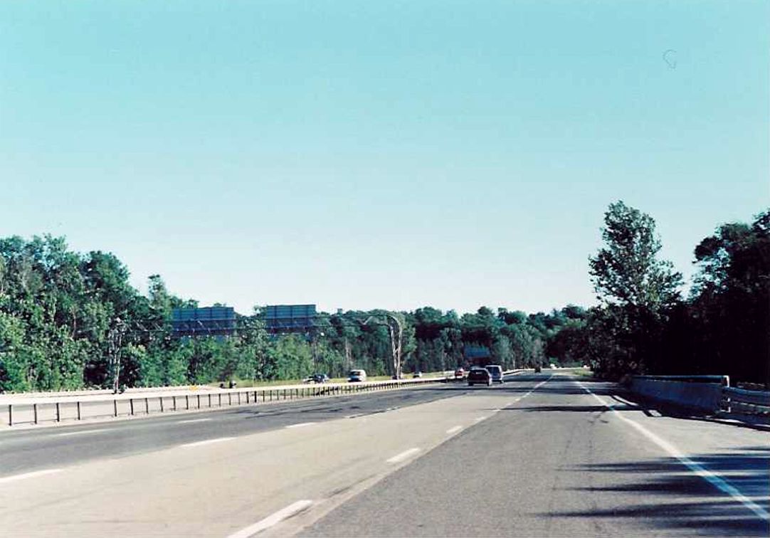 |
| View of the Highway 400 extension transitioning into mainline Highway 400 lanes at Crown Hill. Summer of 1989. | 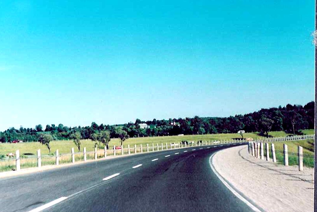 |
| Exit signage for Doran Road located on the southbound Highway 400 extension. Doran Road is the first (or last, depending on your direction) interchange on the 400 extension. Also, somebody can correct me via e-mail if I am mistaken, but I believe today this segment of Simcoe Road 11 is known as "Forbes Road". Summer of 1989. | 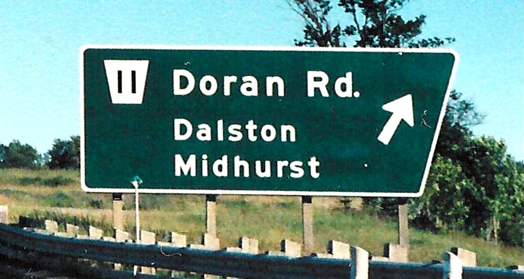 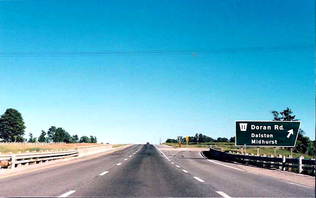 |
| Looking southbound along a stretch of the Highway 400 extension between Doran Road and Horseshoe Valley Road. Summer of 1989. | 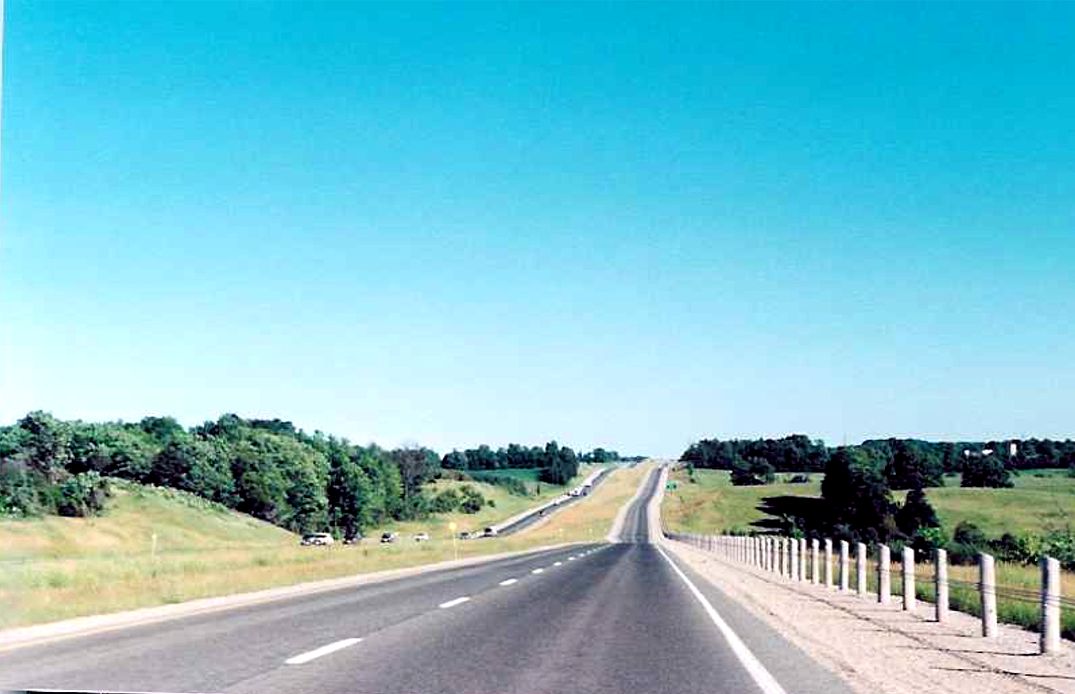 |
| Exit signage for Horseshoe Valley Road located on southbound Highway 400 near Craighurst. Summer of 1989. | 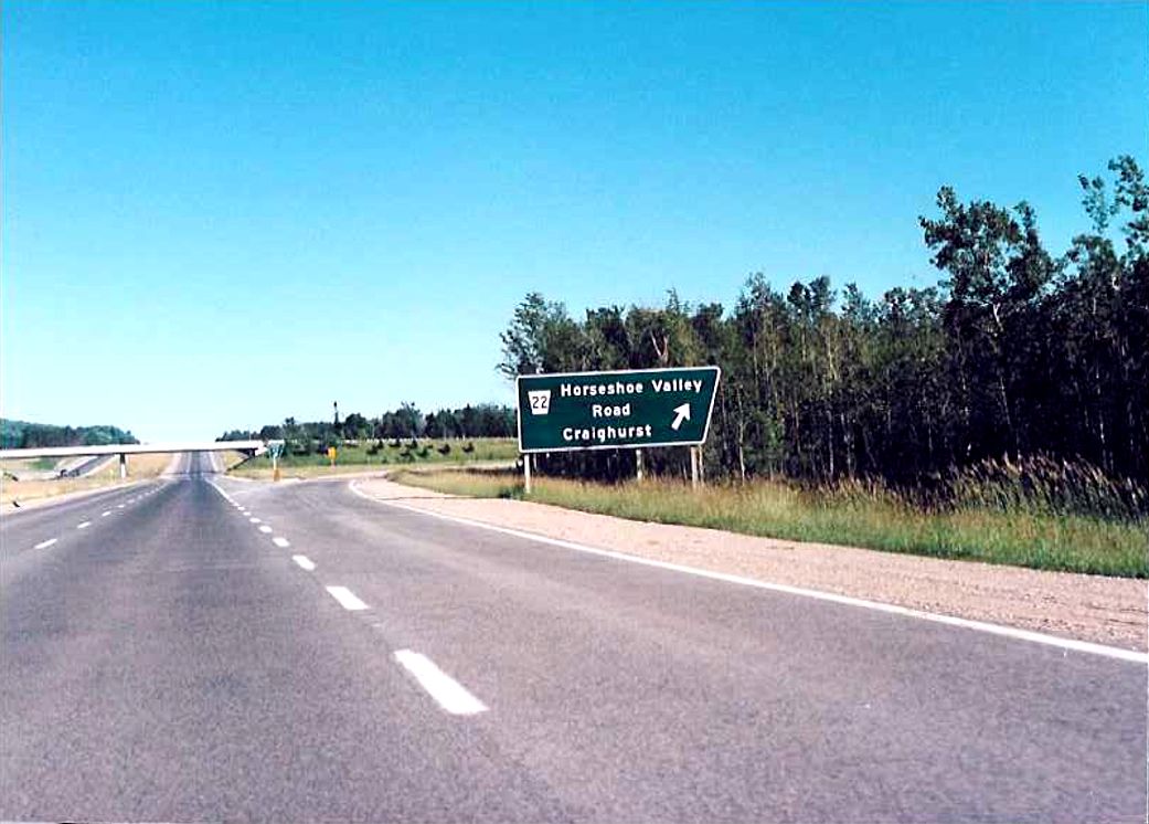 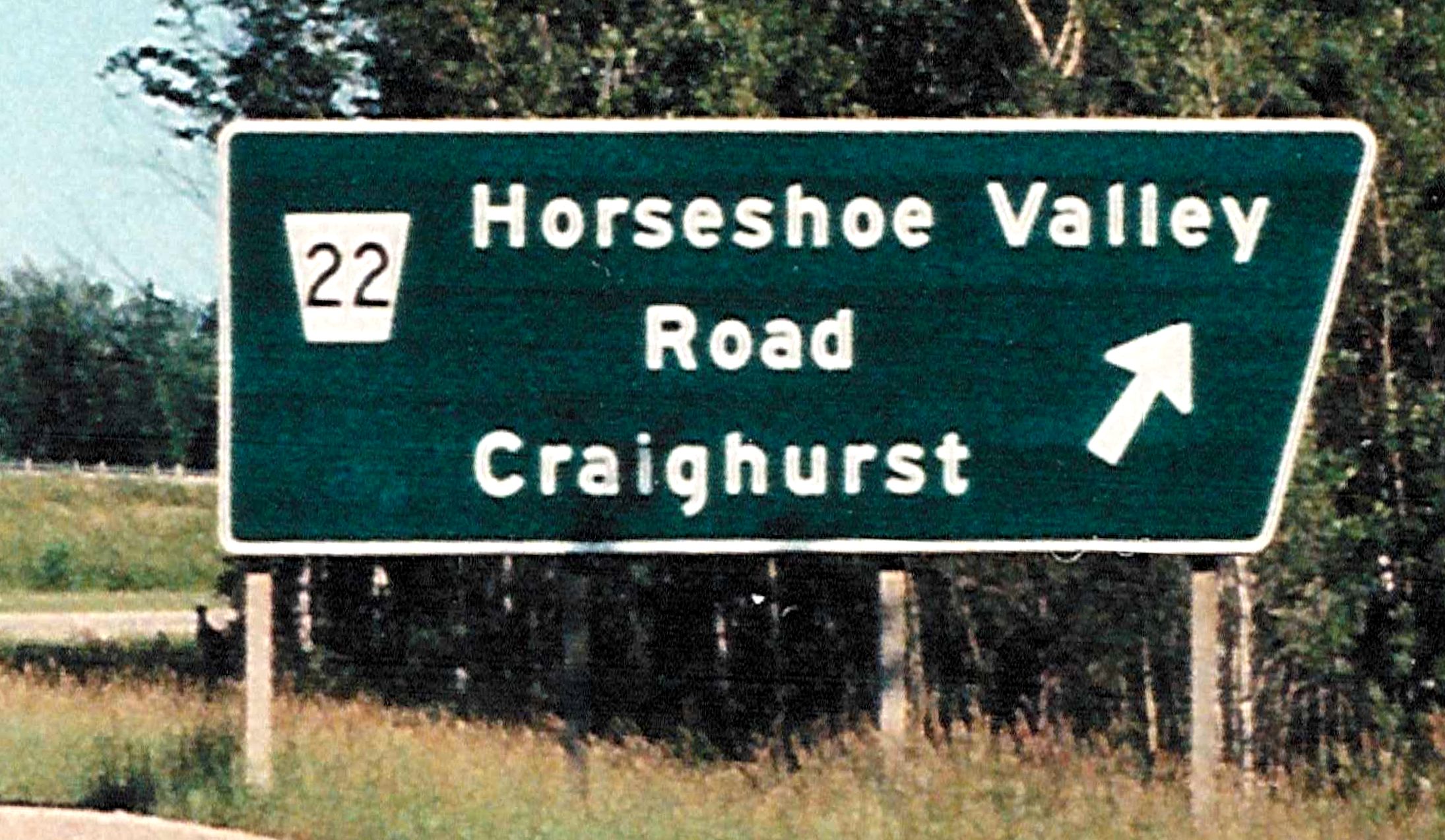 |
| Approaching the Highway 93 interchange on southbound Highway 400 near the town of Hillsdale. Summer of 1989. | 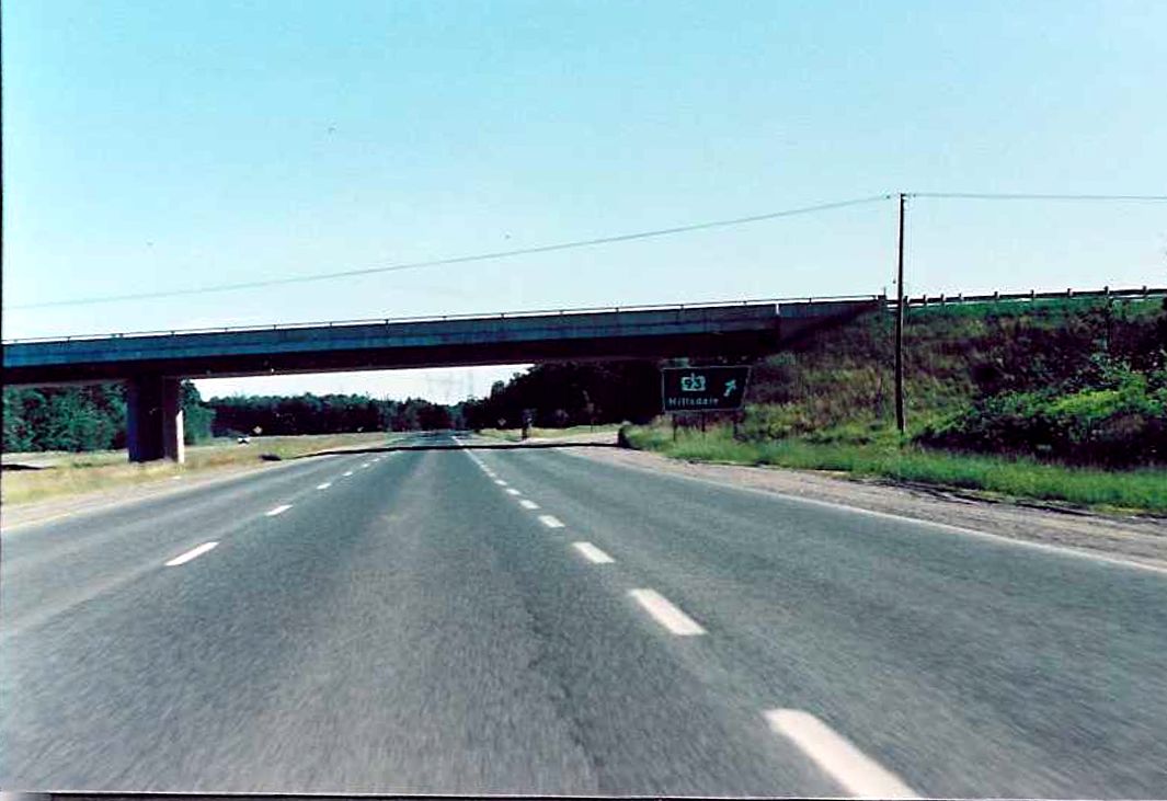 |
| Partial view of a concession road overpass located on the 400 extension in northern Oro-Medonte Township. This part of the Highway 400 extension cuts through some very sharp terrain, which in turn creates some unusually steep grades on certain overpasses, such as the one pictured here. Summer of 1989. | 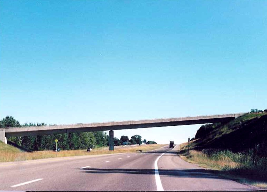 |
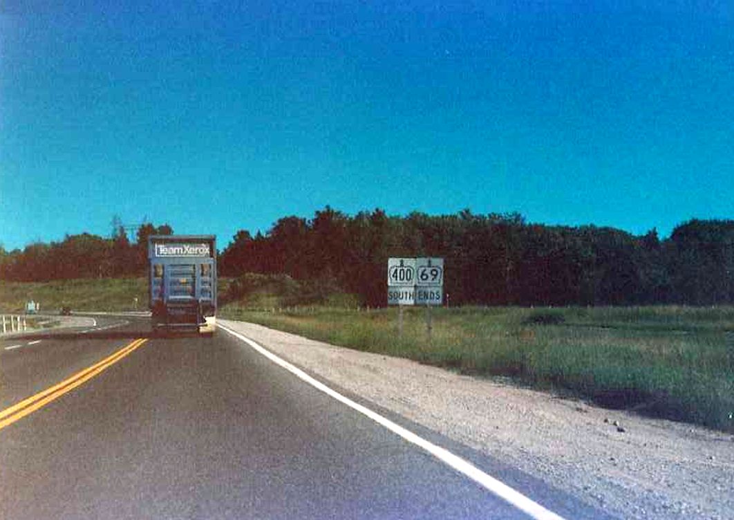
| Oversized signage assembly at the southern terminus of Highway 69 at its junction with Highway 12 and Highway 400 in Coldwater. Today, Highway 400 extends northerly into Parry Sound. Summer of 1989. |
 |
| A new overpass over Highway 12 which was constructed in anticipation of the twinning of Highway 400 through Coldwater. Summer of 1989. | 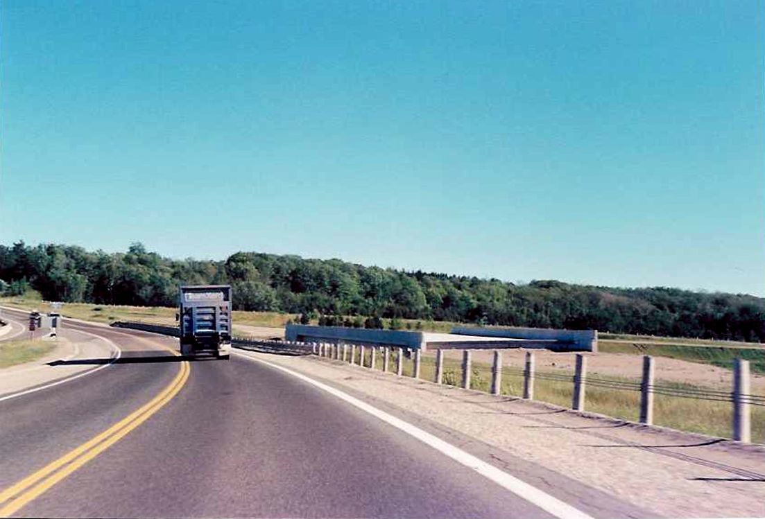 |
| Looking south along where Highway 69 transitions into Highway 400 at the Highway 12 exit in Coldwater. The four lane section of Highway 400 begins just south of Highway 12. Summer of 1989. | 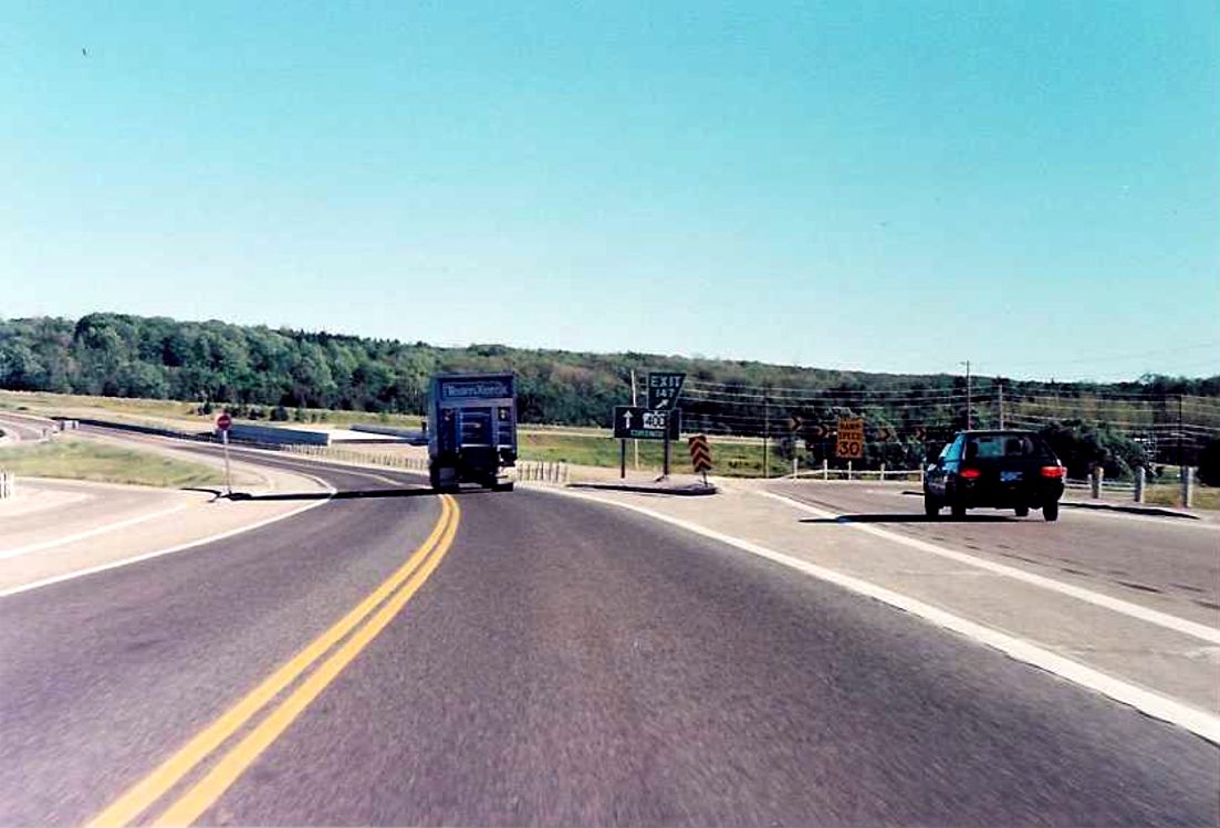 |