KING`S HIGHWAY NO. 401
Eastern Ontario
| |
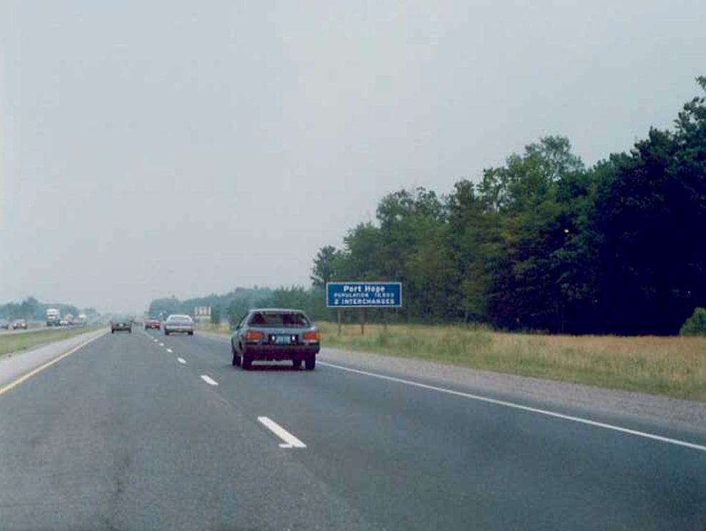
Entering the Town of Port Hope on eastbound Highway 401. Summer of 1989. |
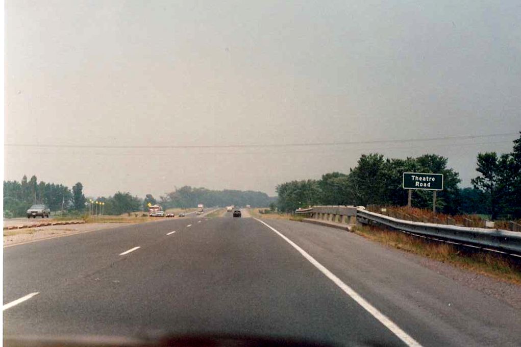 |
Partial view of the Theatre Road underpass from the eastbound lanes of Highway 401. Theatre Road is located about equidistant between Port Hope and Cobourg. Summer of 1989. |
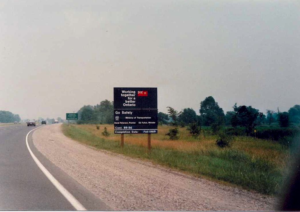 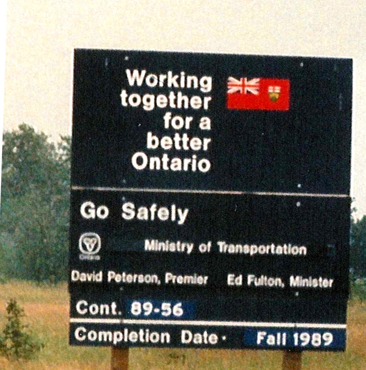 |
Construction Information Sign located on eastbound Highway 401 between Port Hope and Cobourg. Summer of 1989. |
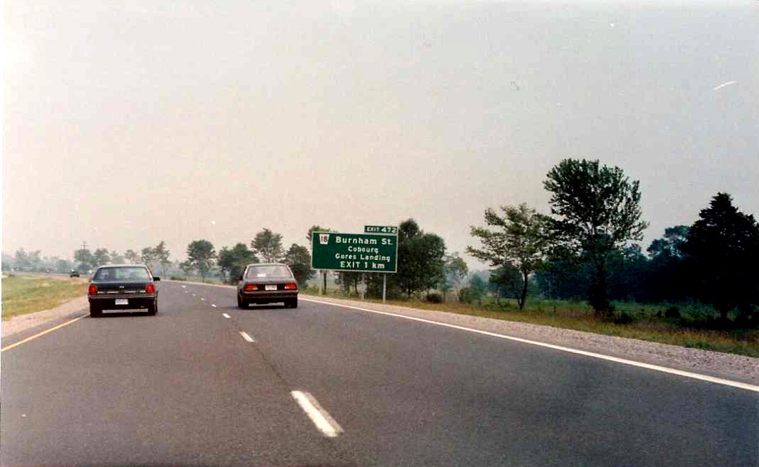 |
1 km advance signage for Burnham Street, located on eastbound Highway 401 about 3 kilometres west of downtown Cobourg. Summer of 1989. |
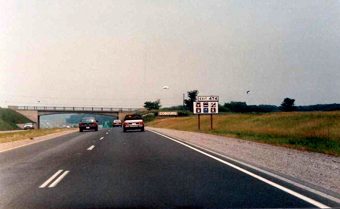 |
Facing east along the eastbound lanes of Highway 401 approaching the Cobourg town limits. Ontario Street overpass visible in the background. Summer of 1989. |
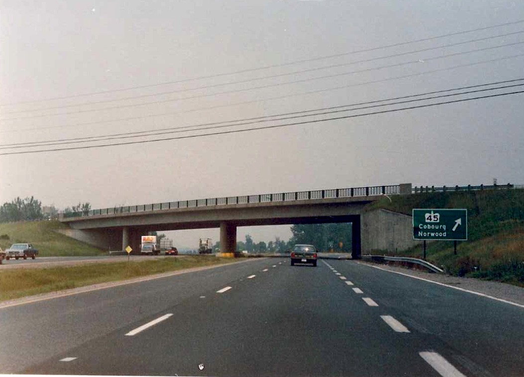 |
Looking east along eastbound Highway 401 at the Highway 45 interchange in Cobourg. Summer of 1989. |
 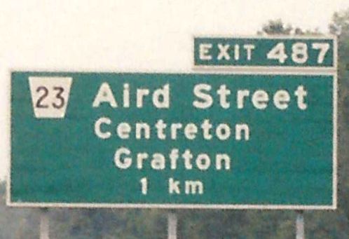 |
1 kilometre advance signage for Aird Street located on eastbound Highway 401 in Grafton. Summer of 1989. |
 |
Facing east along eastbound Highway 401 towards the Aird Street overpass in the Town of Grafton. Summer of 1989. |
 |
Highway 401/M-C (MacDonald/Cartier Freeway) reassurance marker located just east of the Aird Street overpass in Grafton. M-C reassurance signs were prevalent on Highway 401 in the late 1980s but today are almost extinct. Summer of 1989. |
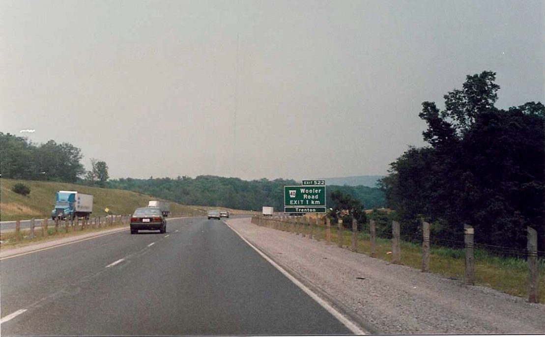 |
1 kilometre advance signage for Wooler Road located on the eastbound lanes of Highway 401. Summer of 1989. |
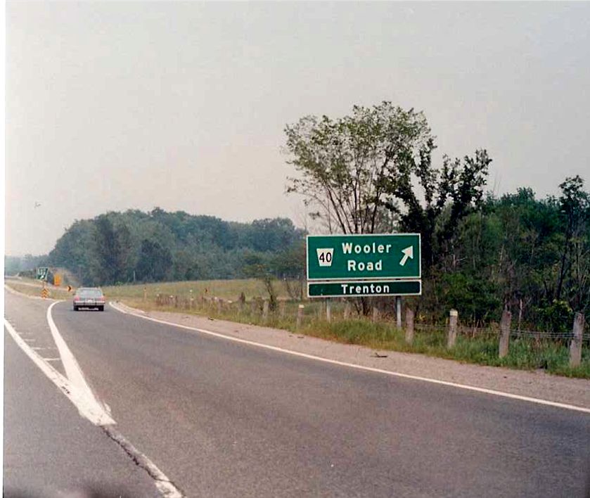 |
Exit signage for Wooler Road located on Eastbound Highway 401 approximately 4 kilometres west of downtown Trenton. Summer of 1989. |
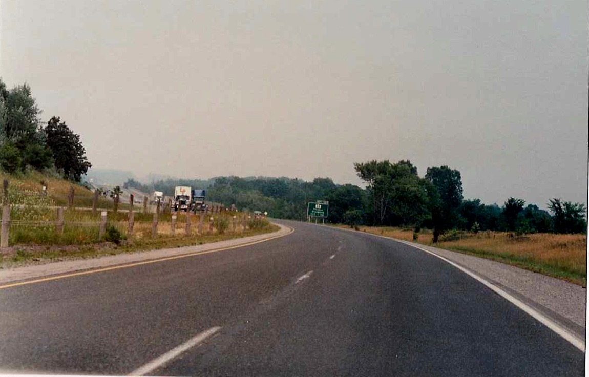 |
Eastbound Highway 401 about 1 kilometre west of the Highway 33 junction in Trenton. Summer of 1989. |
 |
Looking east along the eastbound lanes of Highway 401, approximately 400 metres west of the Glen Miller Road interchange in Trenton. Summer of 1989. |
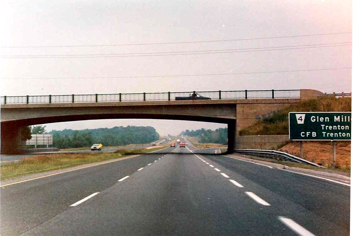 |
Partial view of the Glen Miller Road overpass from the eastbound lanes of Highway 401. Glen Miller Road is one of three interchanges on Highway 401 that lead to downtown Trenton. Summer of 1989. |
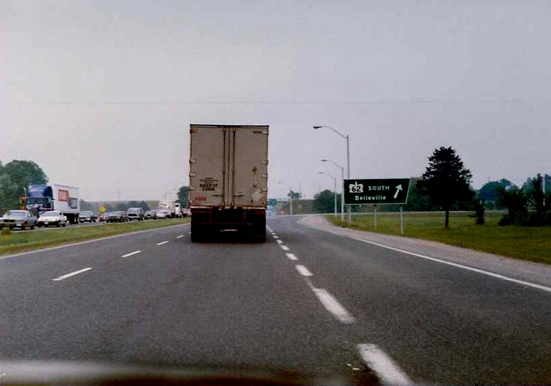 |
Facing east along eastbound Highway 401 towards the Highway 62 interchange in the City of Belleville. Summer of 1989. |
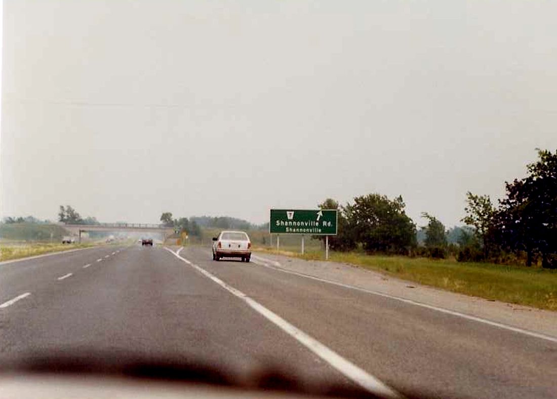 |
Looking east along eastbound Highway 401 towards the Shannonville Road interchange in southwest Hastings County. Summer of 1989. |
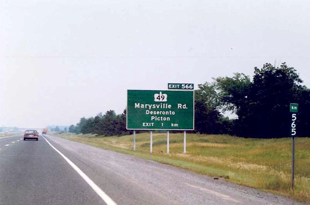  |
1 km advance signage for Highway 49/Marysville Road, and 565 km post, located on eastbound Highway 401 in southwest Hastings County. Summer of 1989. |
 |
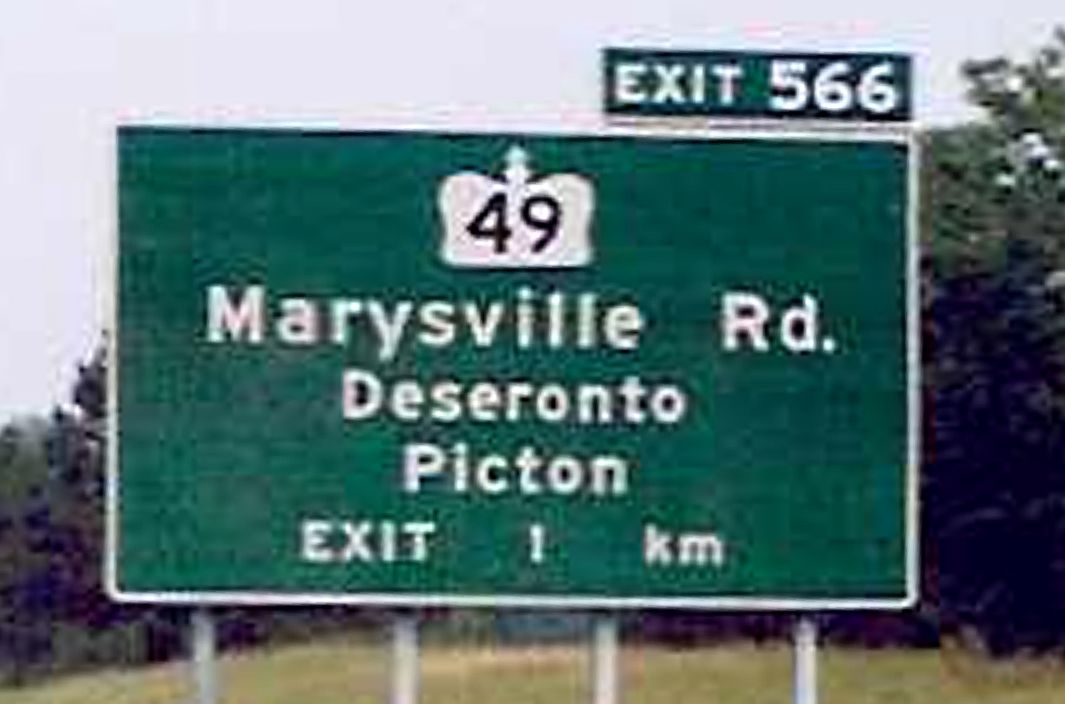
Exit signage for Highway 49/Marysville Road located on eastbound Highway 401. Because the Town on Deseronto is located on Highway 2 between Highway 49 and Deseronto Road, both interchanges are signed with Deseronto as a control city. Summer of 1989. |
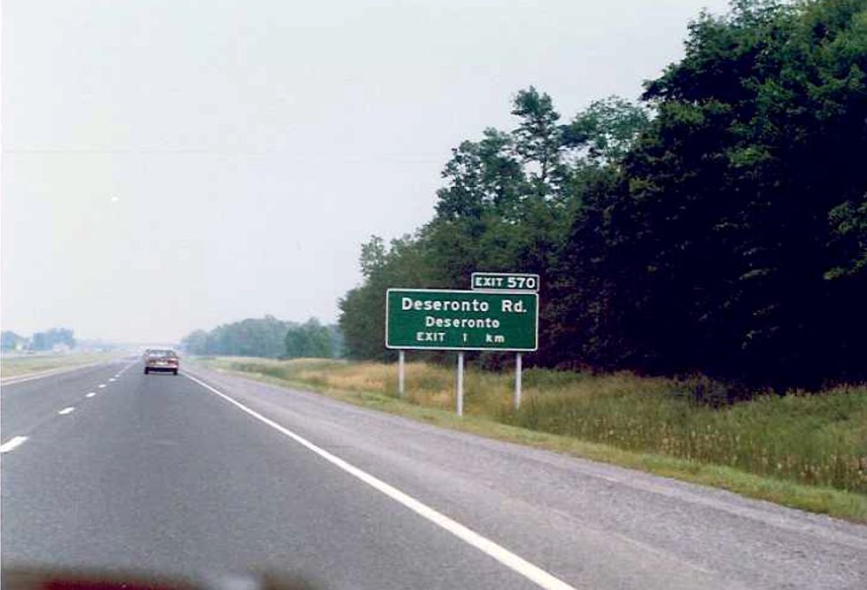 |
1 km advance signage for Deseronto Road located on eastbound Highway 401. Deseronto Road marks the boundary line between Hastings County and the County of Lennox and Addington. Summer of 1989. |
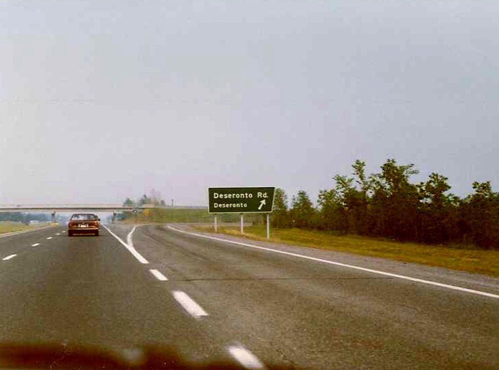 |
Exit sigange for Deseronto Road located on eastbound Highway 401. The town of Deseronto is located about 4 kilometres south of Highway 401. Summer of 1989. |
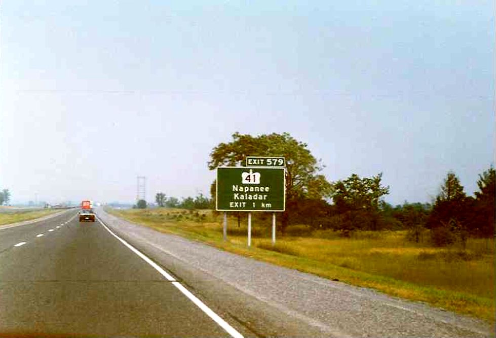 |
1 km advance sigange for Highway 41 near the Town of Napanee. Highway 41 was downloaded between Highway 401 and Highway 7 in 1998. Summer of 1989. |
 |
1 km advance signage for Wilton Road located on eastbound Highway 401 in the Town of Odessa. Summer of 1989. |
 |
Sign located near the Service Centre on eastbound Highway 401 between Odessa and Kingston warning motorists that the next service centre is 67 km east of this point. Summer of 1989. |
 |
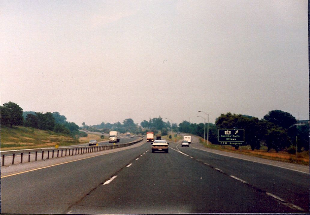
Tourist Destination Sign located on eastbound Highway 401 in the City of Kingston. Exit 617 is for Division Street. Summer of 1989. |
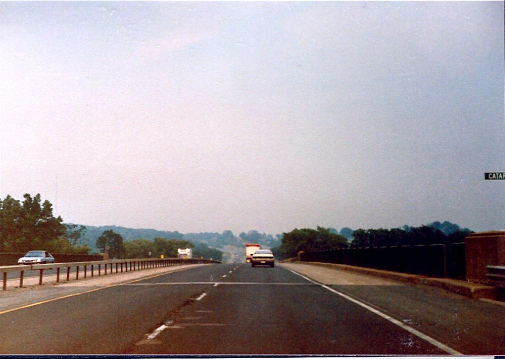 |
Facing east along the eastbound lanes of Highway 401 from the Cataraqui River bridge. Summer of 1989. |
 |
Looking east along eastbound Highway 401 towards the Highway 15 interchange, east of the City of Kingston. Summer of 1989. |
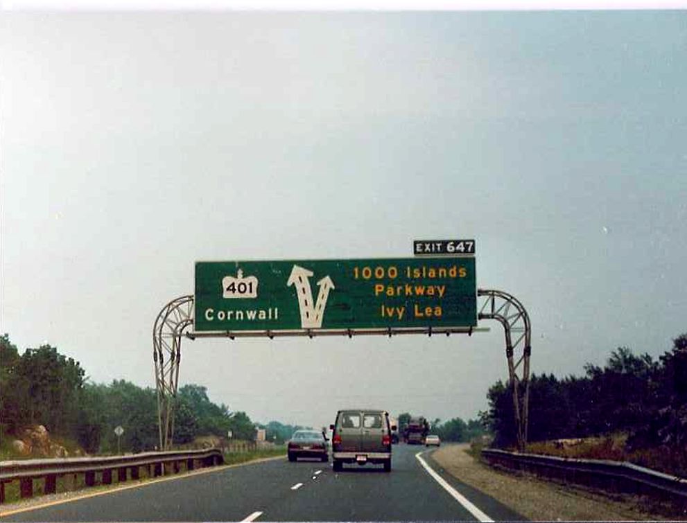 |
Diagram signage located on eastbound Highway 401, approximately 400 metres to the west of the 1000 Islands Parkway interchange. Summer of 1989. |
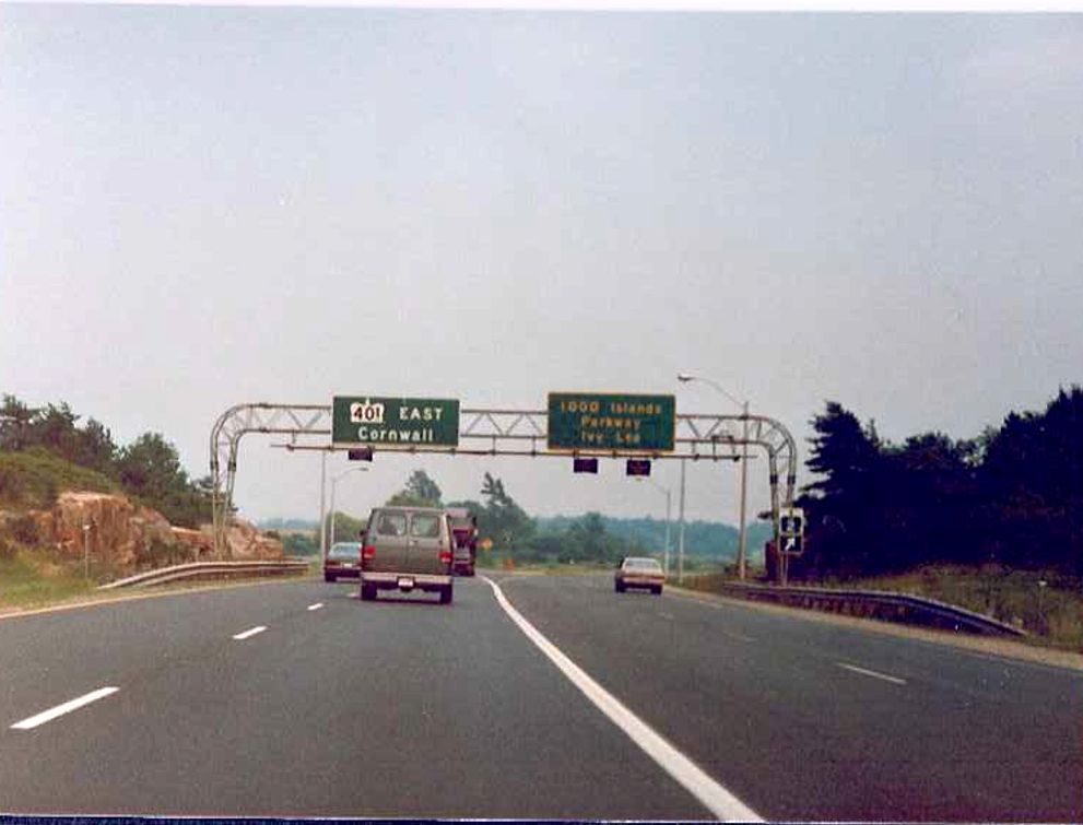 |
Looking east along eastbound Highway 401 towards the 1000 Island Parkway interchange in Gananoque. I believe the yellow text on the exit signage is meant to denote a scenic parkway. Summer of 1989. |
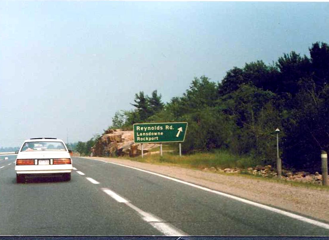 |
Exit signage for Reynolds Road (Exit 659) located on eastbound Highway 401, about 2 kilometres west of Highway 137. Summer of 1989. |
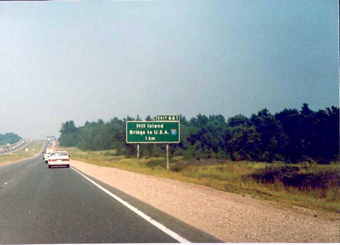 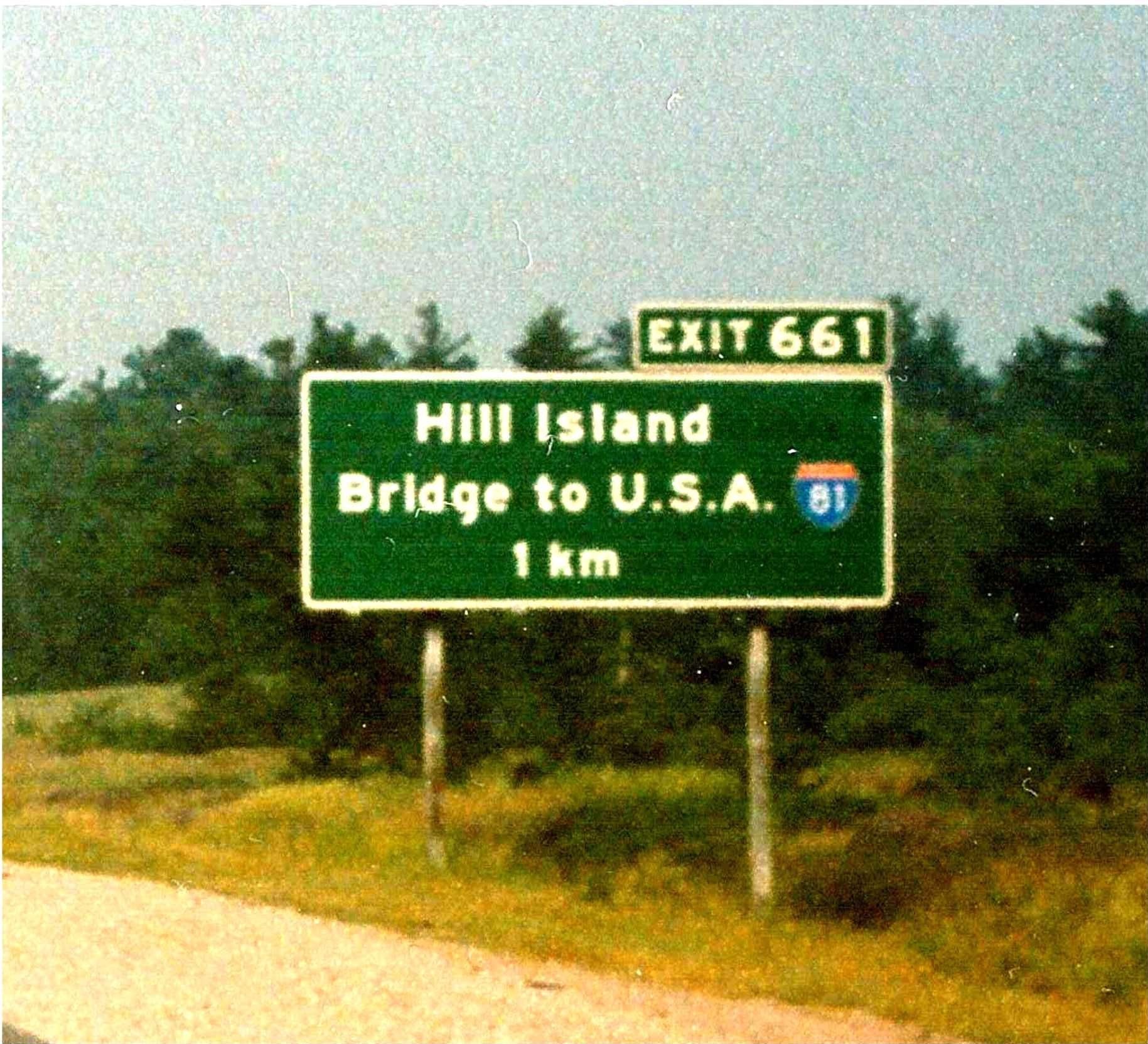 |
1km advance signage located on eastbound highway 401 for the Highway 137 interchange in southwest Leeds & Grenville County. In 1989 and until recently, Highway 137 was not indicated on any highway signage. Summer of 1989. |
 |
Overhead gantry located on eastbound highway 401 at the Highway 137 interchange in southwest Leeds & Grenville County. Highway 137 links the 401 with I-81 in upper New York State. Summer of 1989. |