KING`S HIGHWAY NO. 409
1978
| |
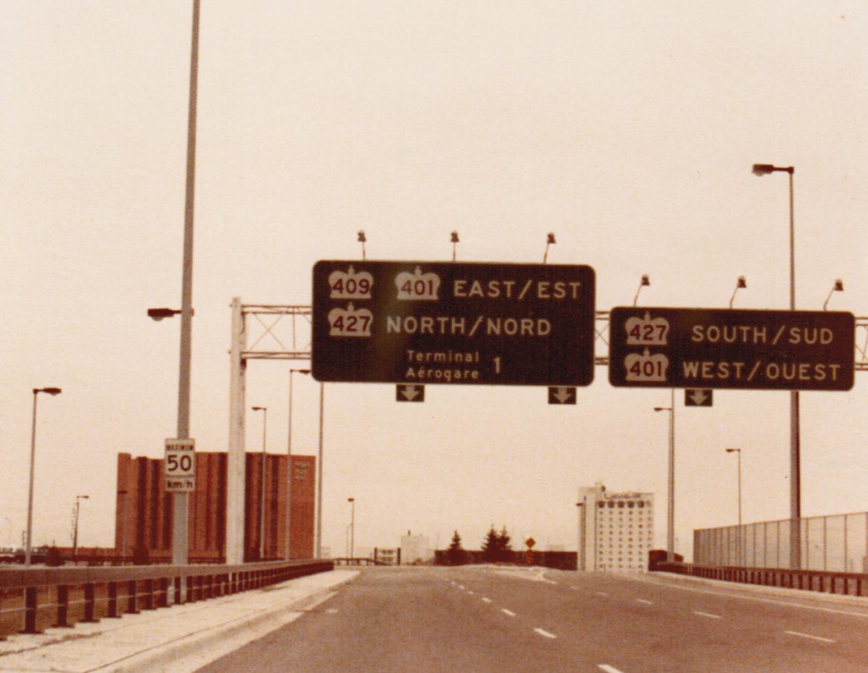
Looking east towards Toronto at the western terminus of Highway 409 at Pearson International Airport. The overhead sign was obviously erected by the federally regulated airport authority which maintains Pearson, as Ontario did not adopt bilingualism on its highways until several years after the passage of the French Language Services Act in 1987. In contrast, the federal government had been bilingual since Trudeau's Official Languages Act became law in 1969. Autumn of 1978. |
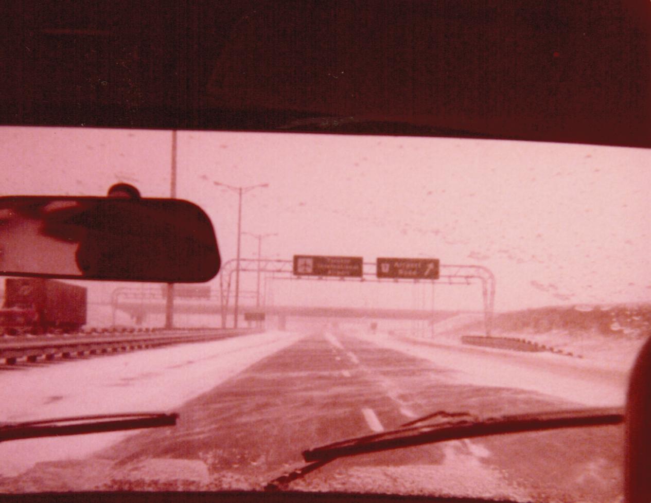
 Looking west along Highway 409 towards its western terminus with Pearson Int'l Airport and Airport Road during some adverse weather conditions. Autumn of 1978. Looking west along Highway 409 towards its western terminus with Pearson Int'l Airport and Airport Road during some adverse weather conditions. Autumn of 1978. |
 |
| Facing west along Highway 409, approximately 500 metres east of Indian Line (today's Highway 427). I don't really know much about Indian Line. It's well before my time. If anybody has any information (route descreption, terminii, etc) I'd love to hear about it. Autumn of 1978. | 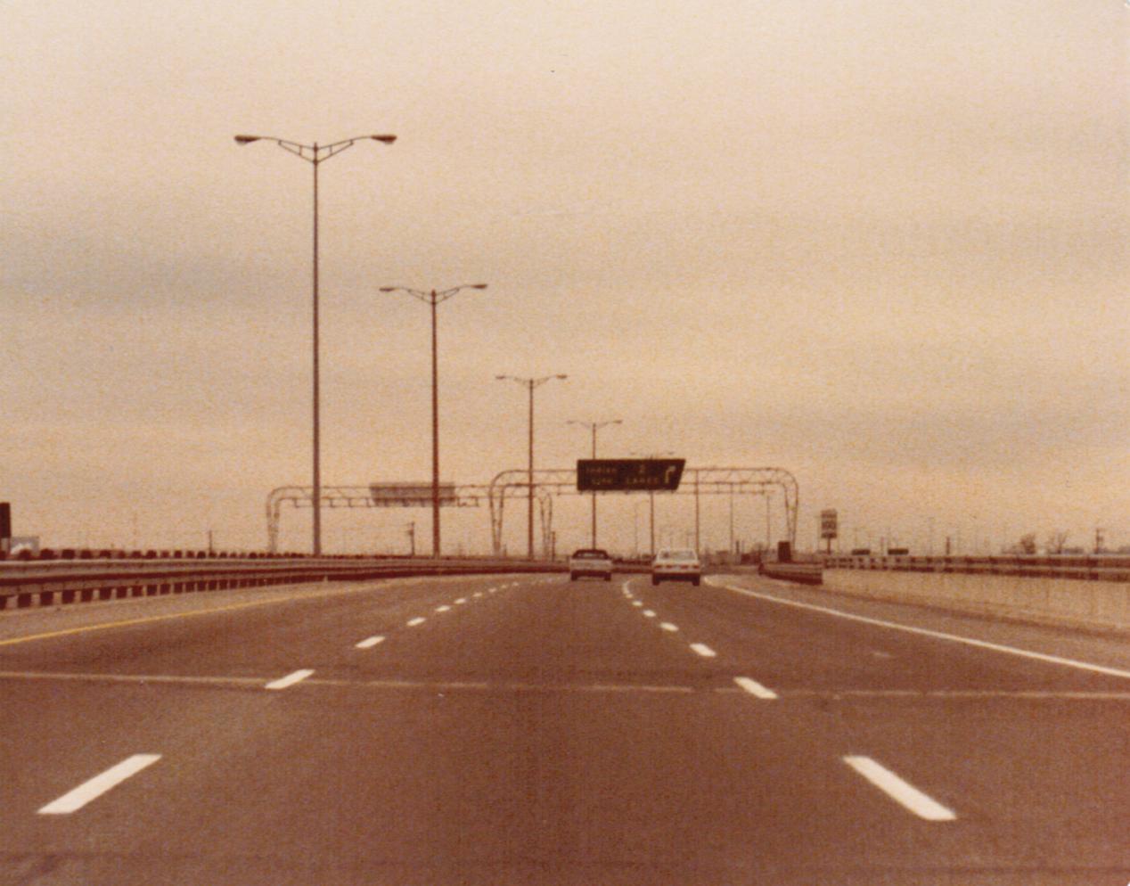 |
 |
Looking east along Highway 409 near the Carlingview Drive underpass. Exit gantry for Atwell Drive faintly visible in the background. Autumn of 1978. |
 |
Facing east along eastbound Highway 409 near the Highway 27 overpass. There is no direct access (partial access is provided by the Atweel Drive interchange) between Highway 27 and Highway 409, which is unusual for two King's Highways. Autumn of 1978. |
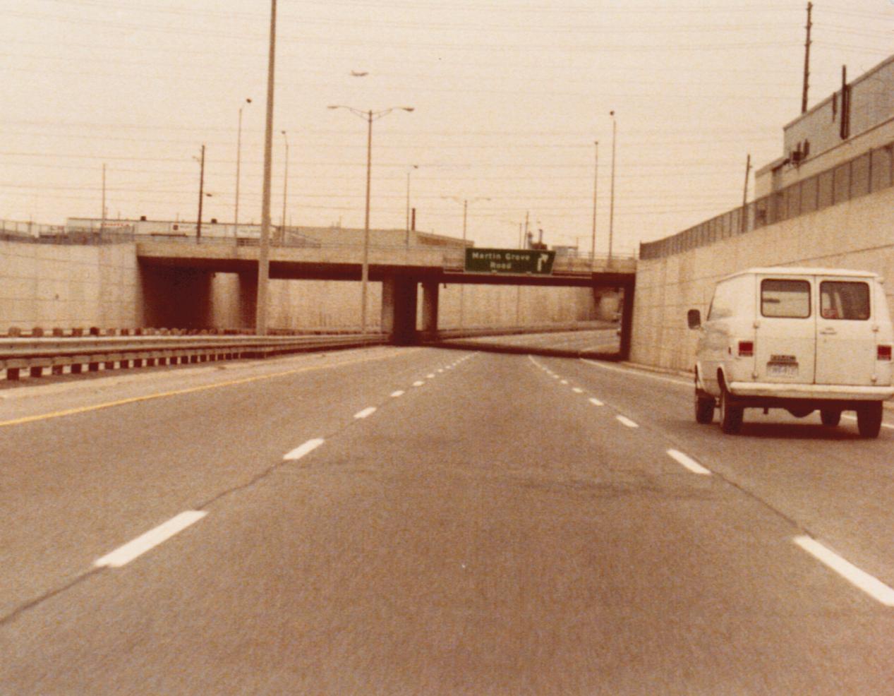
| Looking west towards Pearson Int'l Airport along Highway 409 from the Martin Grove Road overpass. It still amazes me how much of its original character the 409 retained up until the MTO conducted a massive rehabilitation of the highway starting two years ago. Autumn of 1978. | 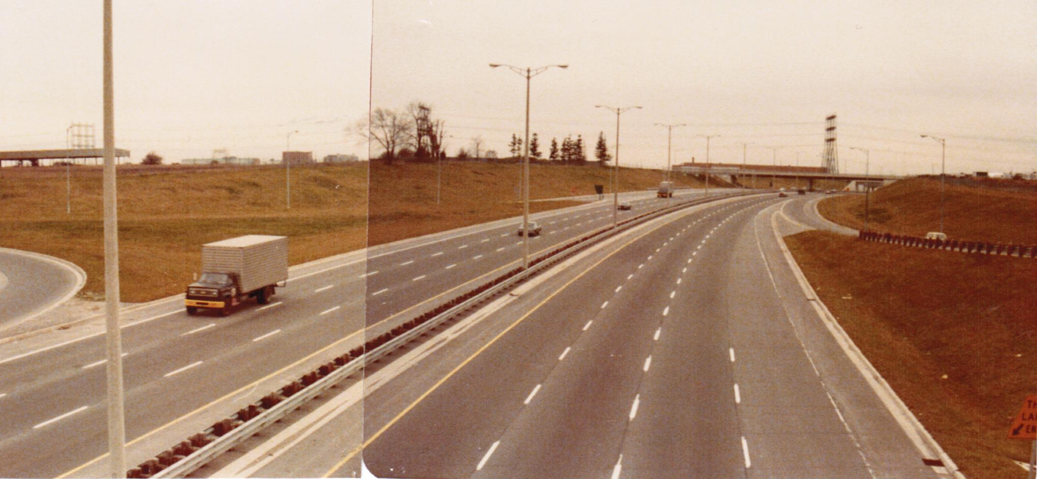 |
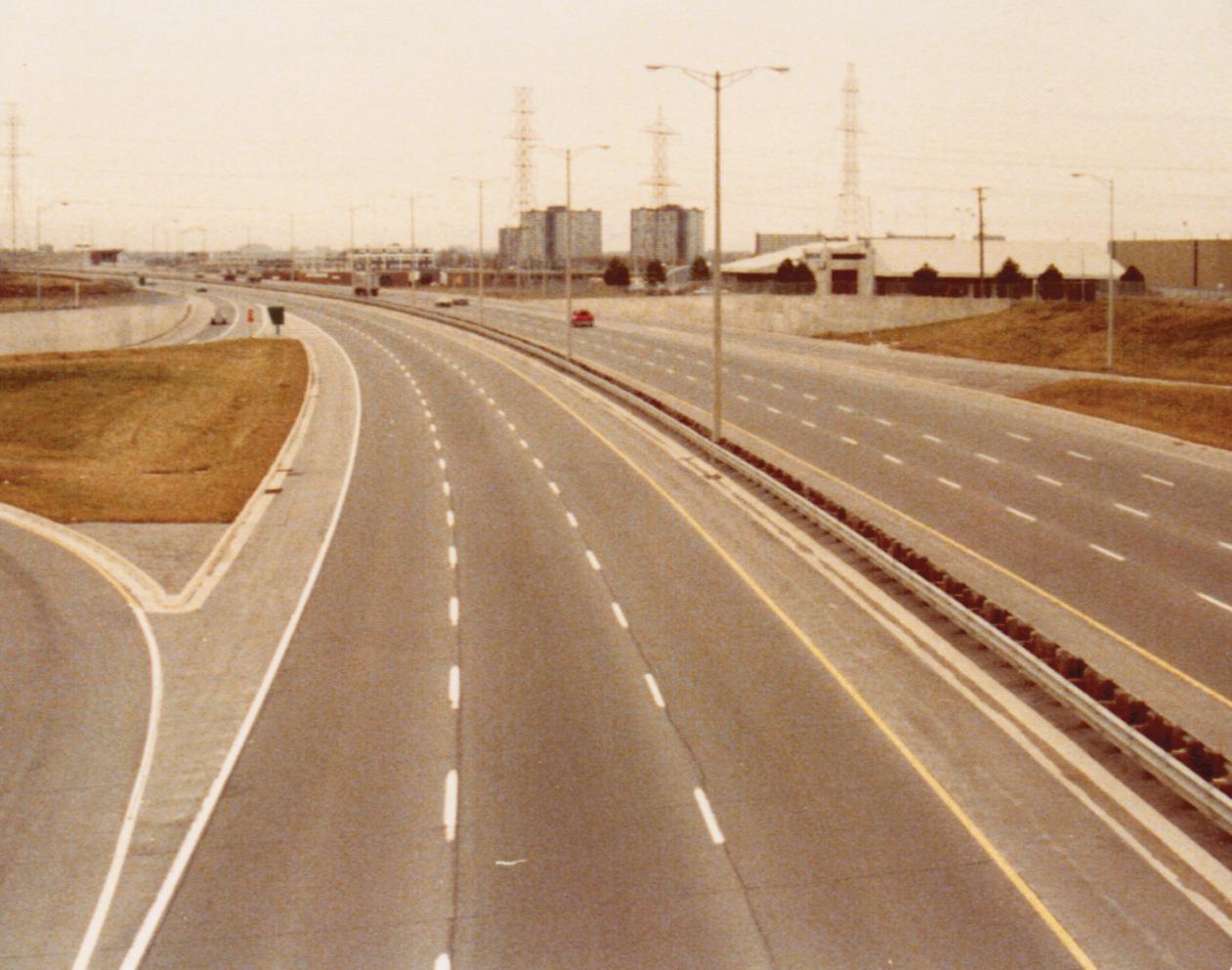 |
Looking east along Highway 409 from the Martin Grove Road overpass. Despite the ubiquitousness of parclo-A4 interchanges on Ontario freeways, due to the 409's short length, Martin Grove Road is the only such example on this highway. Autumn of 1978. |