KING`S HIGHWAY NO. 427
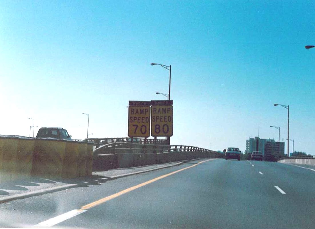
| Oversized ramp speed signs on the ramps to the QEW from the 427 in Etobicoke. Interesting that back then, the "km" tabs went on top of the sign, not underneath. Summer of 1989. |
|
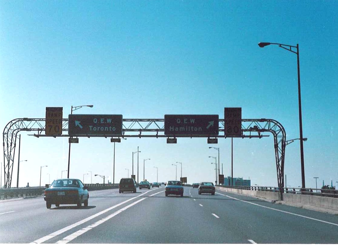
| Overhead exit signage for the QEW from the southbound lanes of Highway 427. Summer of 1989. |
 |
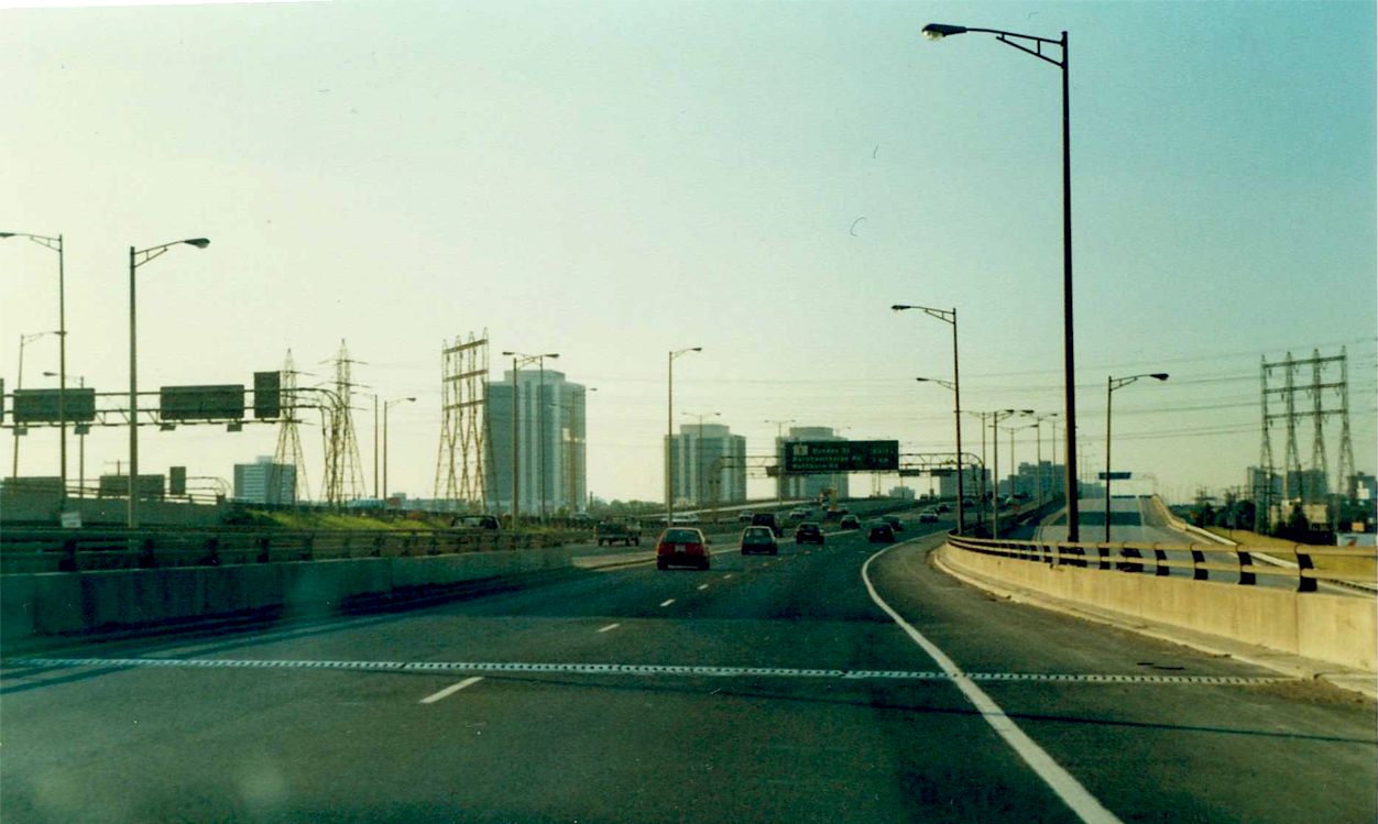 |
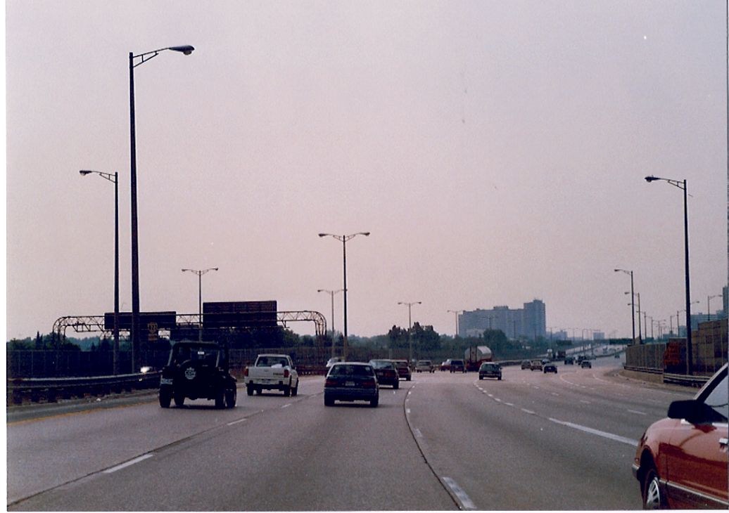
Looking north along the northbound Highway 427 express lanes just north of the QEW in Etobicoke. Summer of 1989. |
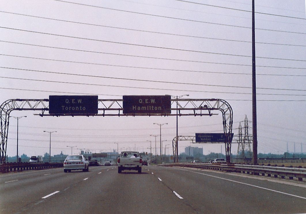
| Somewhat odd advance signage for the QEW in the southbound lanes of the 427. Today this is a diagrammical sign. Summer of 1989. |
 |
 |
Advance signage for collector lanes on the northbound Highway 427 just north of the QEW. Summer of 1989. |
 |
Slip ramp located just south of Bloor Street leading from the northbound Highway 427 express lanes to the collectors. Summer of 1989. |
| View of the Bloor Street overpass from the southbound Highway 427 express lanes. Summer of 1989. |
 |
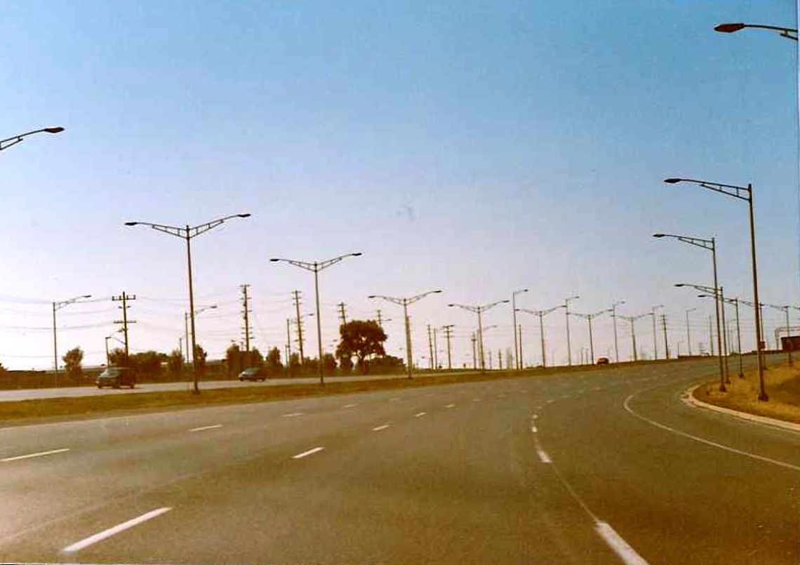
| Southbound express lanes of Highway 427, between Burnhamthorpe Road and Bloor Street. If you replace a few of those signs with the more modern, bilingual standard, this picture could have been of the 427 in 2004. Summer of 1989. |
 |
 |
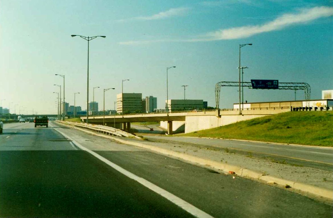
Northbound Highway 427 express lanes approaching the Burnhamthorpe Road overpass. Summer of 1989. |
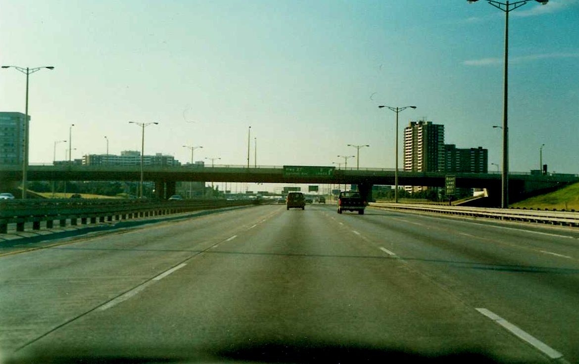
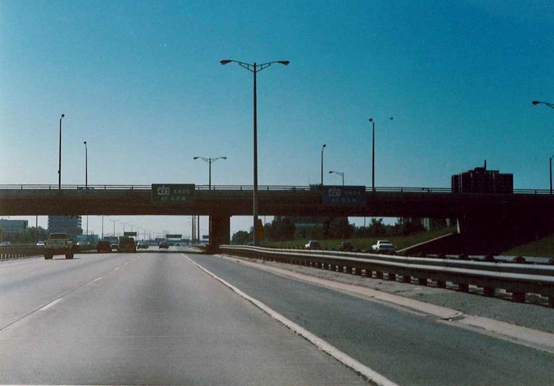
| View of the Burnhamthorpe Road overpass from the southbound Highway 427 express lanes. Affixed signs warn of the impending end of the highway at the QEW. Summer of 1989. |
 |
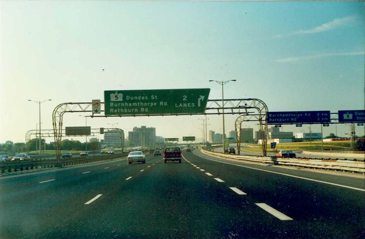
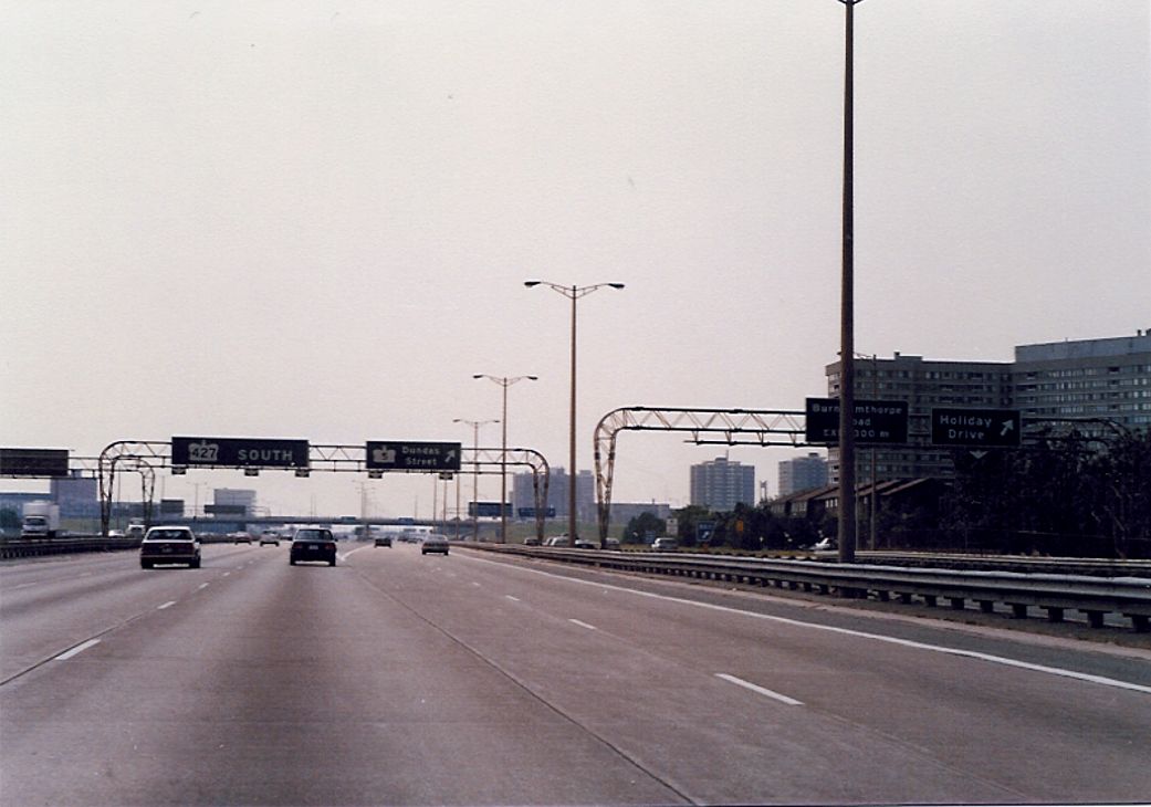
| Highway 427 express to collector transfer for Highway 5/Dundas Street. Summer of 1989. |
 |
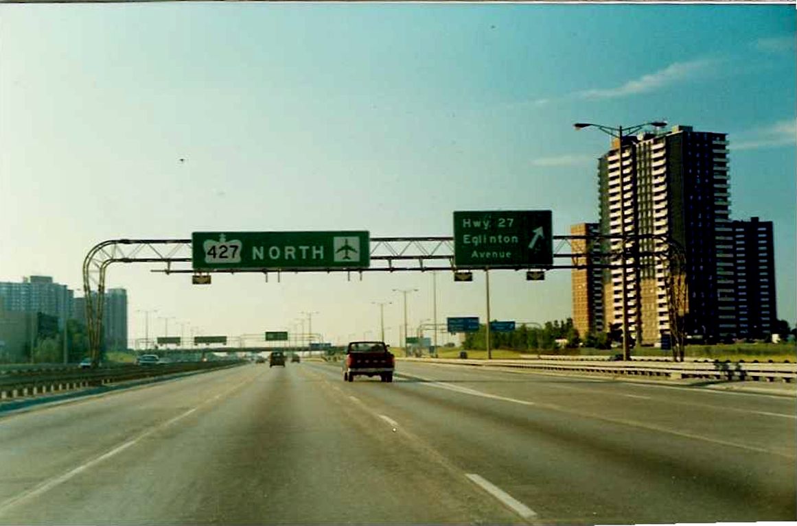 |
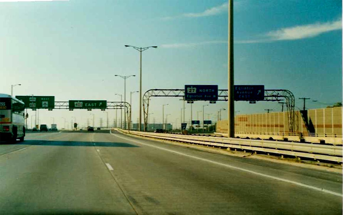
Transfer to Eglinton Avenue and Highway 27 from the northbound Highway 427 express lanes. Interestingly, Highway 27 is indicated in text only in 1989. This sign was likely corrected in the early 1990s to show Highway 27 in a crown, but was changed back to text in 2002 because of downloading. |
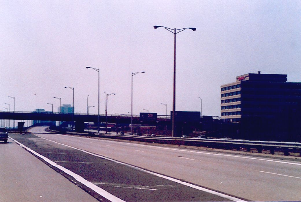
| Rathburn Road overpass on Highway 427. Summer of 1989. |
 |
 |
Diagrammical sign located on the northbound express lanes of Highway 427. A bilingual replica of this sign exists today in this exact location. Summer of 1989. |
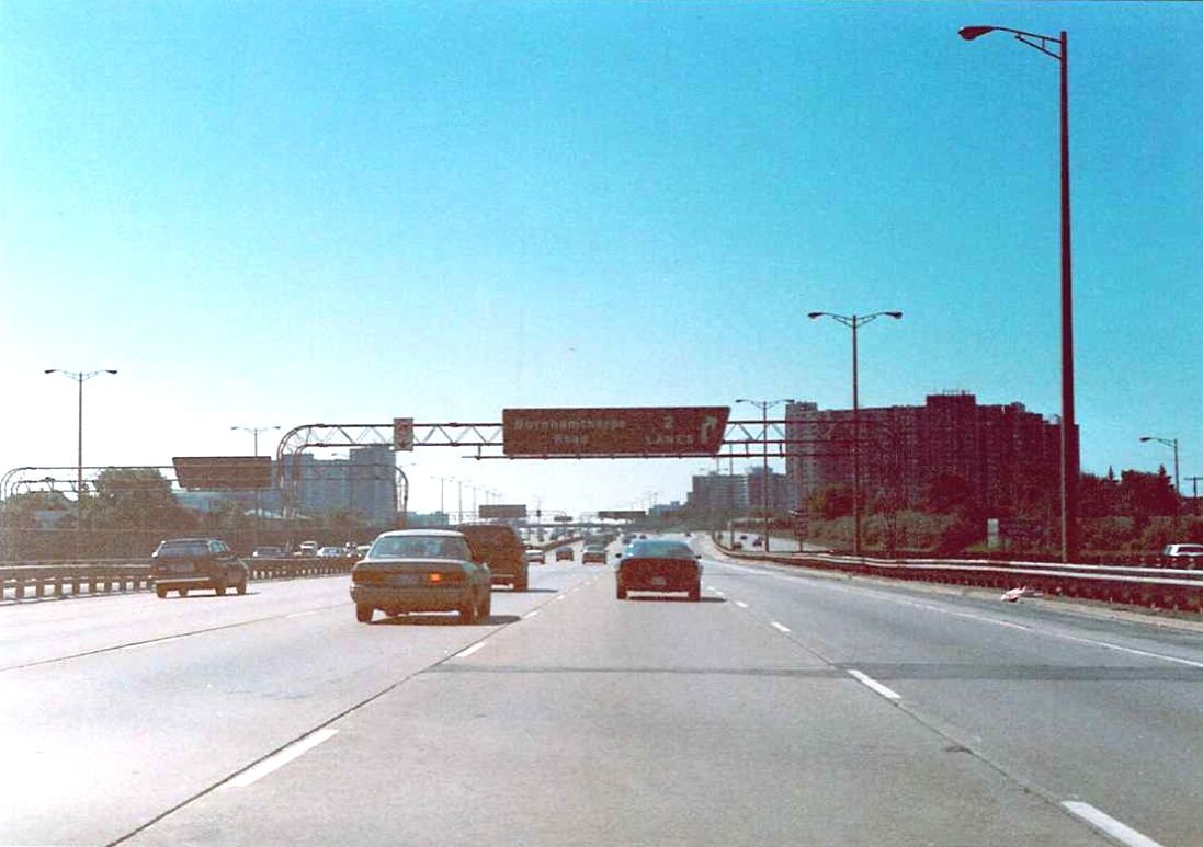
| Advance signage for Burnhamthorpe Road on the southbound lanes of Highway 427, just south of Eglinton Avenue. Summer of 1989. |
 |
 |
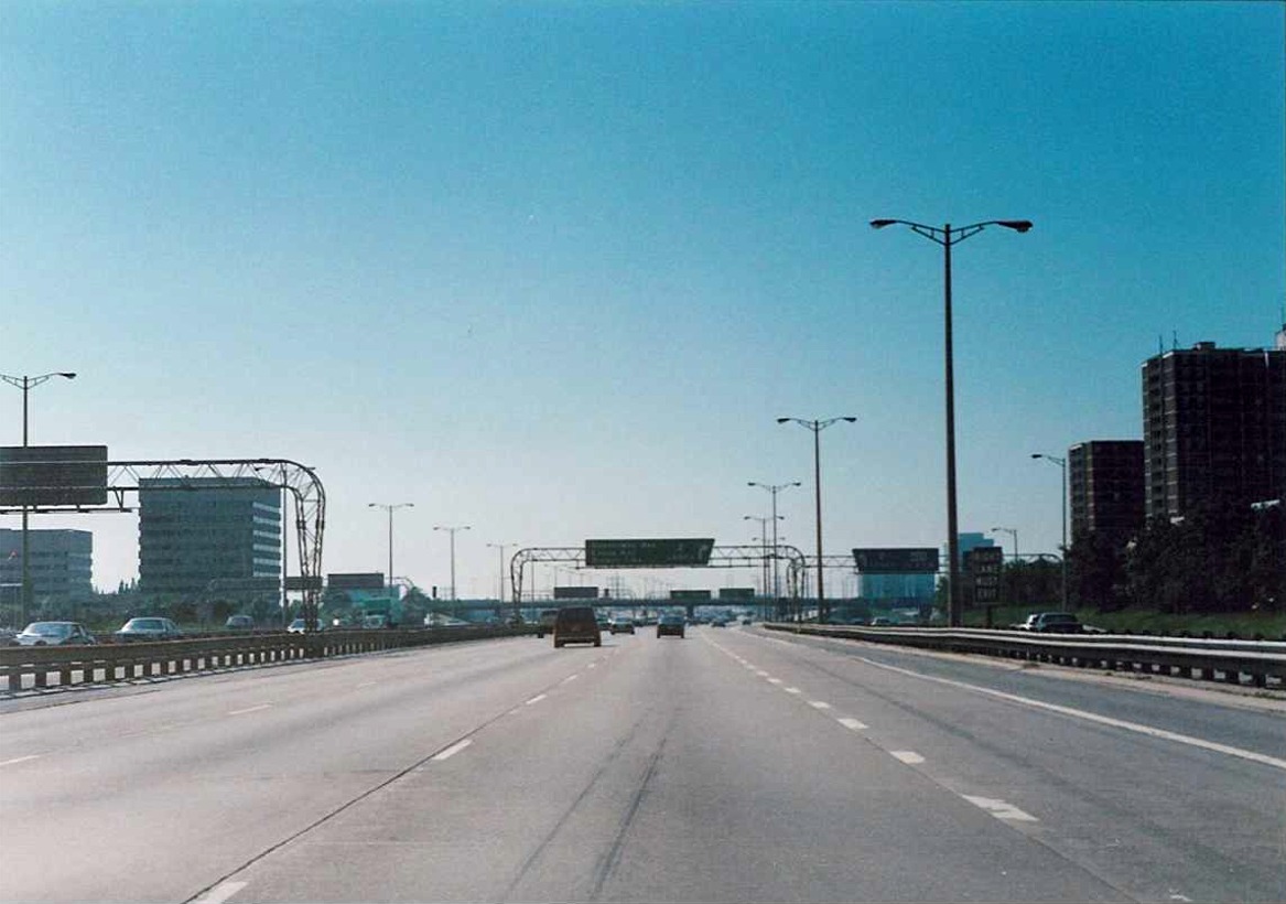
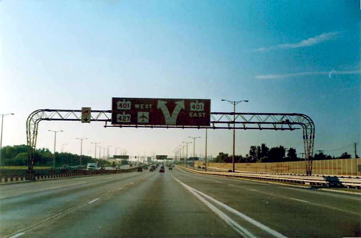
Northbound Highway 427 approaching Highway 401 and Eglinton Avenue. The collector signage at this location indicates Highway 27 in a crown. Summer of 1989. |
| Southbound Highway 427 express lanes just south of Highway 401. Summer of 1989. |
 |
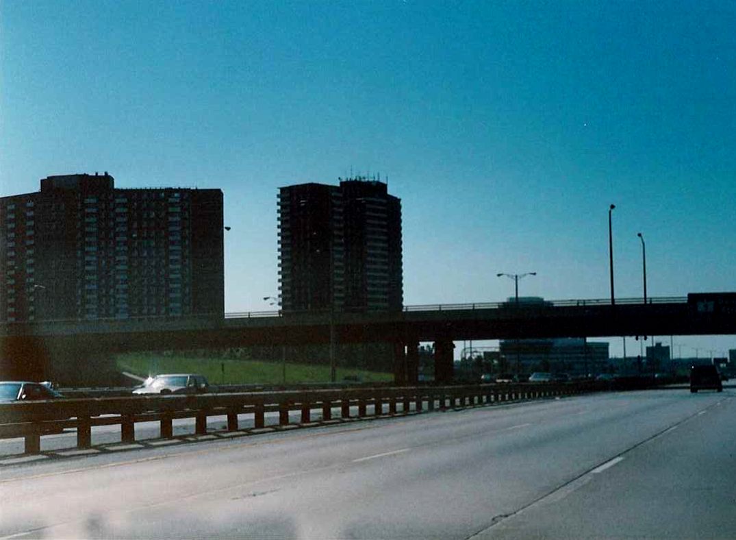
| Looking south along southbound Highway 427 between Dixon Road and Highway 401. The truss lighting in this shot are shorter and broader than typical. This is because of the close proximity of Pearson Airport, which requires an unobstructed flight path for arriving and departing planes. Summer of 1989. |
 |
 |
View of the ramp leading from the northbound Highway 427 to Dixon Road and Pearson International Airport. Back in 1989, the MTO seemed to refer to Pearson as Toronto International Airport, or in this case, just "Toronto Airport". |
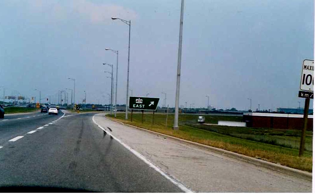 |
Northbound Highway 427 approaching the ramp to Highway 409 eastbound. In the background is the first of two sets of traffic signals that existed on the 427 in the summer of 1989. |
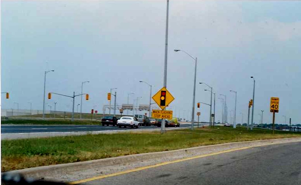 |
Looking north along the northbound Highway 427 towards its intersection with the soutbound Highway 427 to eastbound Highway 409 ramp. This at grade, signalized intersection is rare sight along 400 series highways, but existed at a time when the 427 north of the airport received relatively light traffic. This intersection was replaced with a high speed flyover ramp in 1992 in anticipation of the opening of Highway 407. Summer of 1989. |
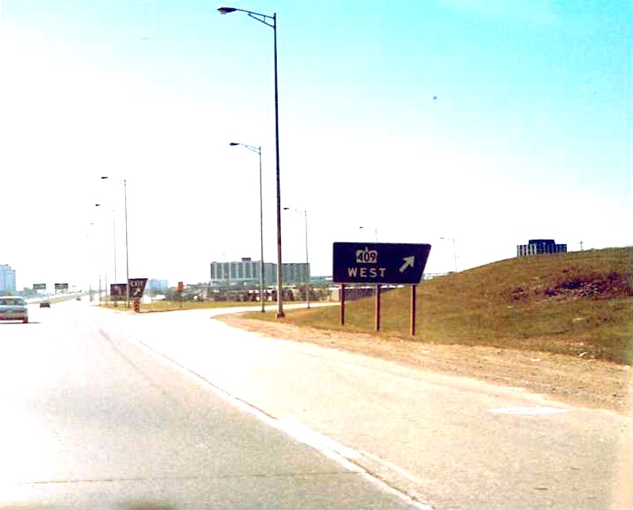
| Ground mounted exit signage for Highway 409 west located on southbound Highway 427 in Etobicoke. Strangely, no mention of Pearson Airport on the sign. Summer of 1989. |
 |
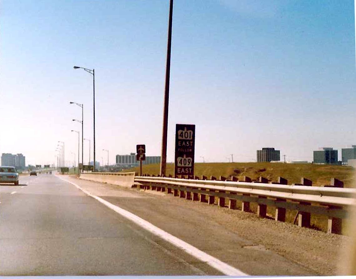
| Looking south along southbound Highway 427 at the Mimico Creek Bridge. To the right, a rather small advance signage indicating that Highway 401 east can only be accessed via Highway 409 east. Summer of 1989. |
 |
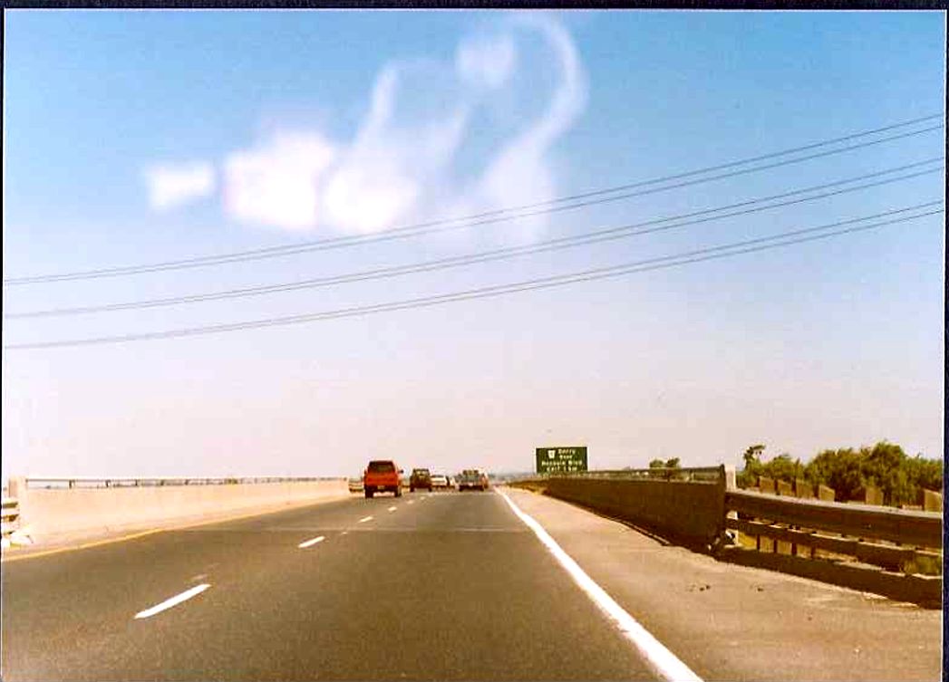 |
Northbound Highway 427 at the Club House Road underpass. 1 km advance signage for Rexdale Boulevard/Derry Road located in the background. Summer of 1989. |
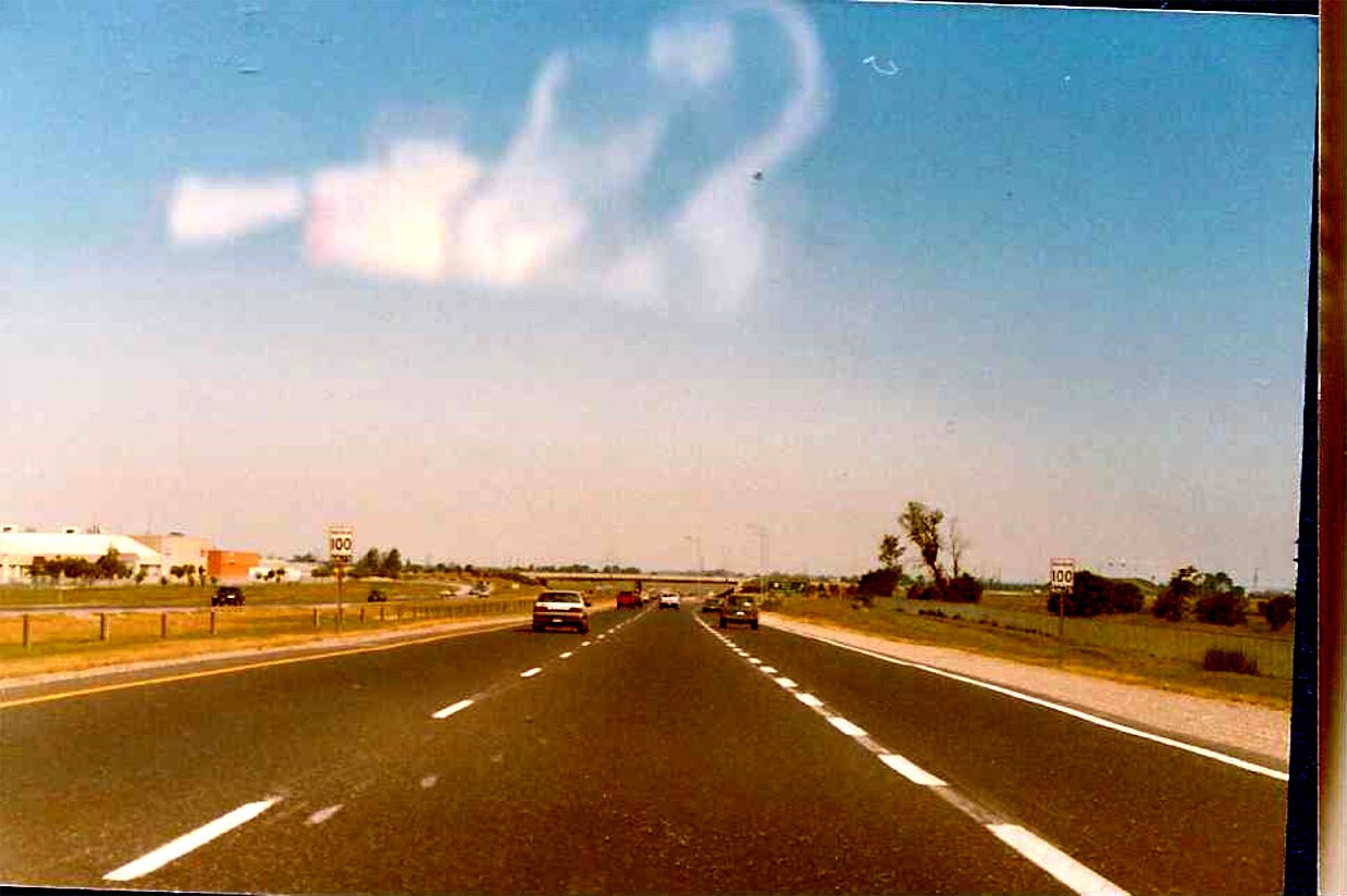 |
Looking north along the northbound lanes of Highway 427, about 400 metres south of the Rexdale Boulevard/Derry Road interchange. From just south of Dixon Road to just south of Finch Avenue, Highway 427 acts as the border between Metro Toronto and Peel Region. Summer of 1989. |