KING`S HIGHWAY NO. 69
A VERY SPECIAL THANKS TO PATRICK GAUDREAU, SCOTT STEEVES AND JOSH ANDERCHEK WHO IDENTIFIED ALL OF THE FOLLOWING PHOTOS FOR ME.
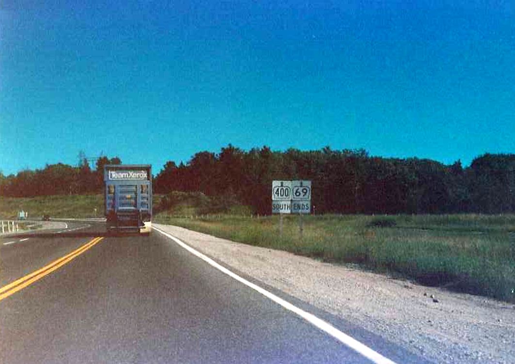
| Oversized signage assembly at the southern terminus of Highway 69 at its junction with Highway 12 and Highway 400 in Coldwater. Today, Highway 400 extends northerly into Parry Sound. Summer of 1989. | |
| 3. Southbound Highway 69 located somehwere between Parry Sound and the Severn River bridge. Summer of 1989. | 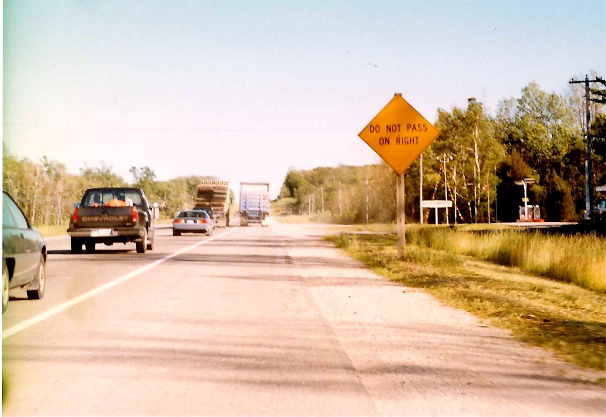 |
| Looking south along Highway 69 towards the Moon River Bridge. This attractive through-steel truss bridge was replaced during a recent Highway 400 expansion project. Summer of 1989. | 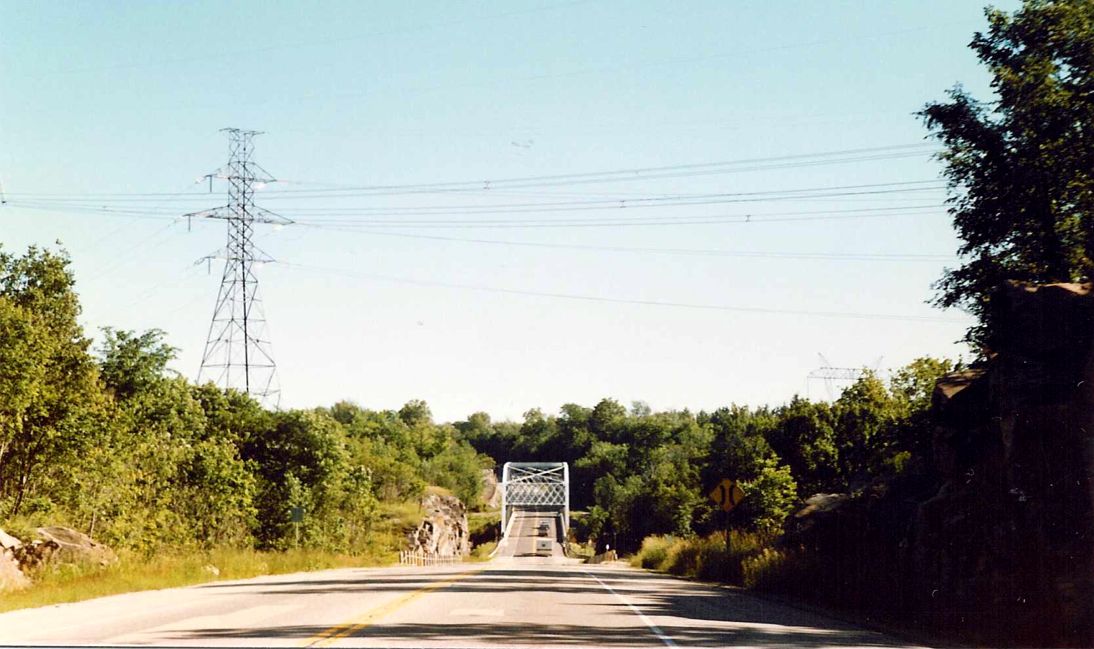 |
| Looking south on Highway 69 across the CPR Overhead at MacTier, during a bridge rehabilitation project. Summer of 1989. | 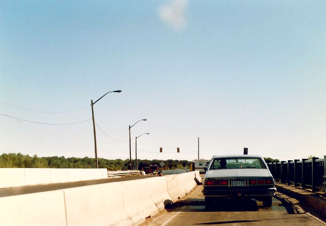 |
| This one is easy enough. Looking south along Highway 69 at its junction with the now defunct Highway 169 in Foot`s Bay, Ontario. Although this section of Highway 69 still exists to this day, a new extension of Highway 400, running parallel to Highway 69 about 2 km to the west, opened in 2003 and now handles the bulk of the Toronto and Sudbury bound traffic. Summer of 1989. | 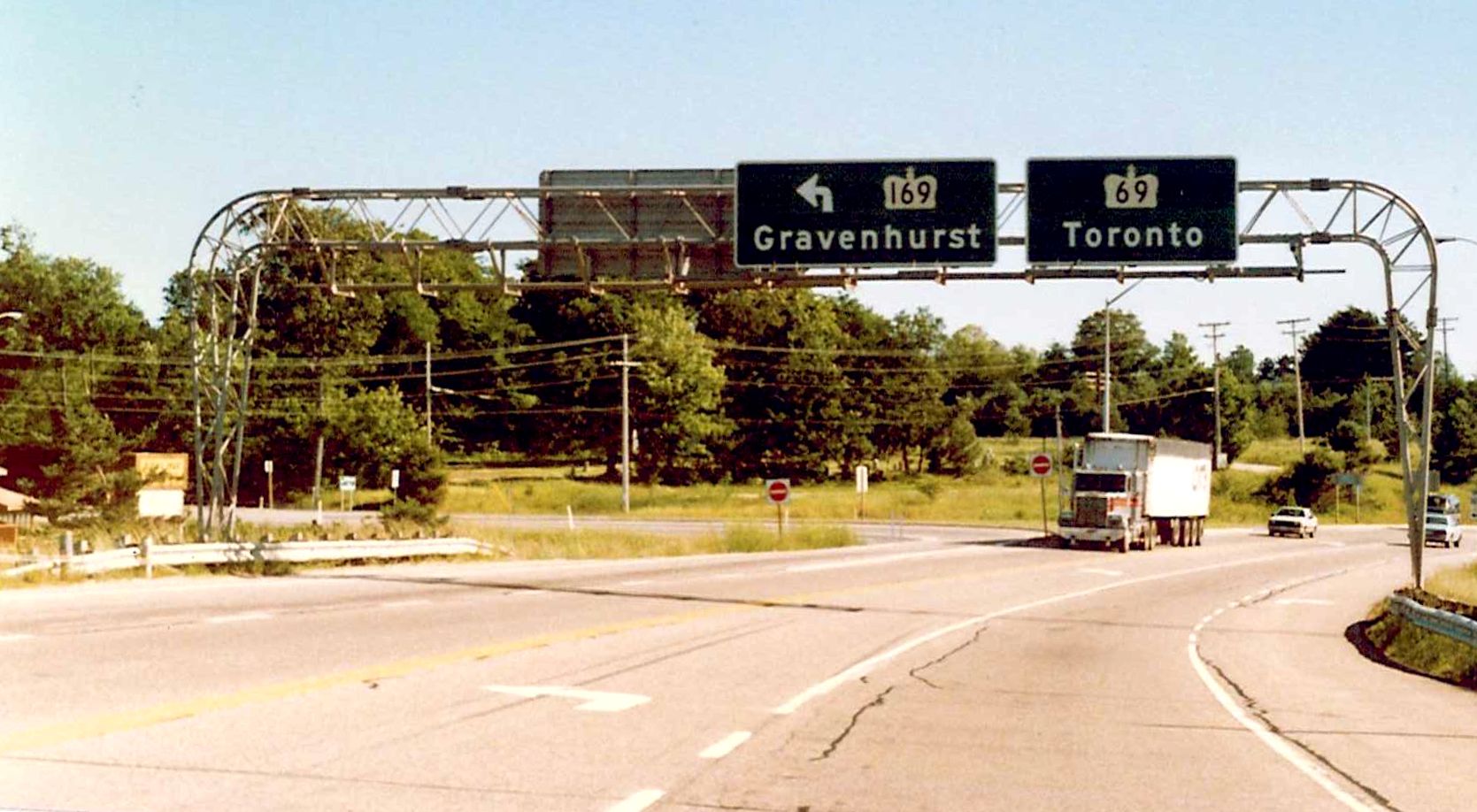 |
| Construction Information Sign located somewhere on the southbound Highway 69 between Pointe au Baril and Parry Sound. Summer of 1989. | 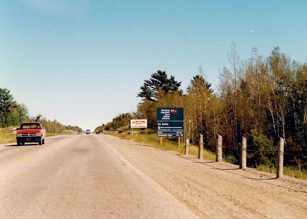 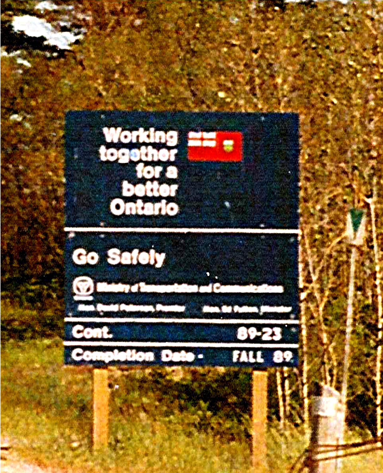 |
| Entering the Magnetawan Indian Reserve on southbound Highway 69, about 100 kilometres south of Sudbury. The Highway 529 junction is in the distant background. Summer of 1989. | 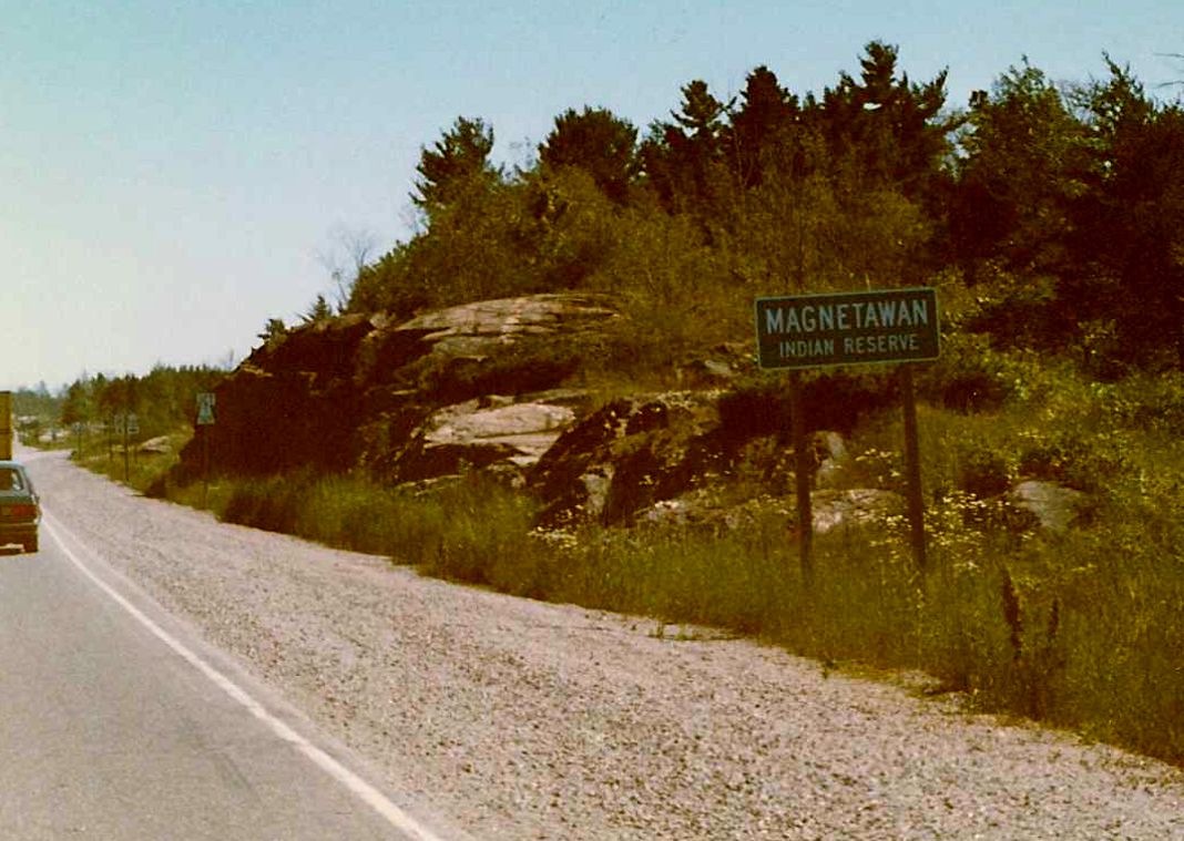 |
| Crossing the Magnatewan River bridge on southbound Highway 69, about 5 kilometres south of the town of Britt. Summer of 1989. | 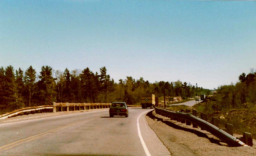 |
| Southbound Highway 69 a few kilometres north of its junction with Highway 526 in Britt. Summer of 1989. | 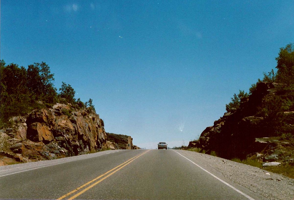 |
| Southbound Highway 69 south of its junction with Highway 552, a few hundred metres north of the Key River bridge. Summer of 1989. | 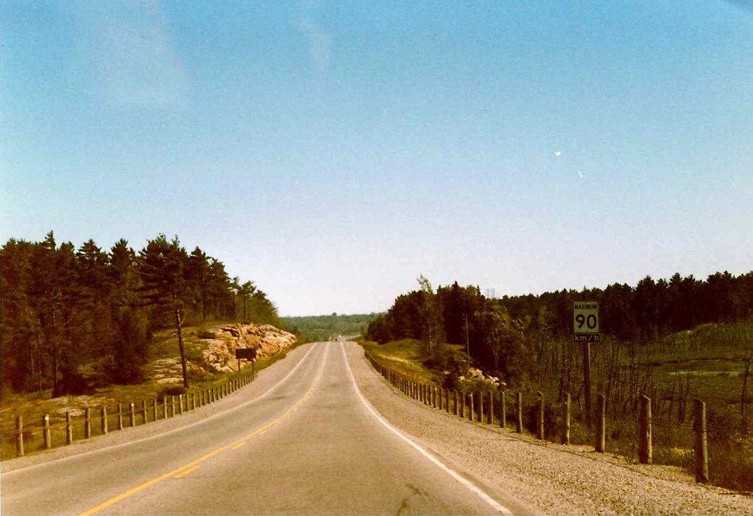 |
| Looking south along Highway 69 between the Pickerel River bridge and Highway 522 in extreme northern Parry Sound District. Summer of 1989. | 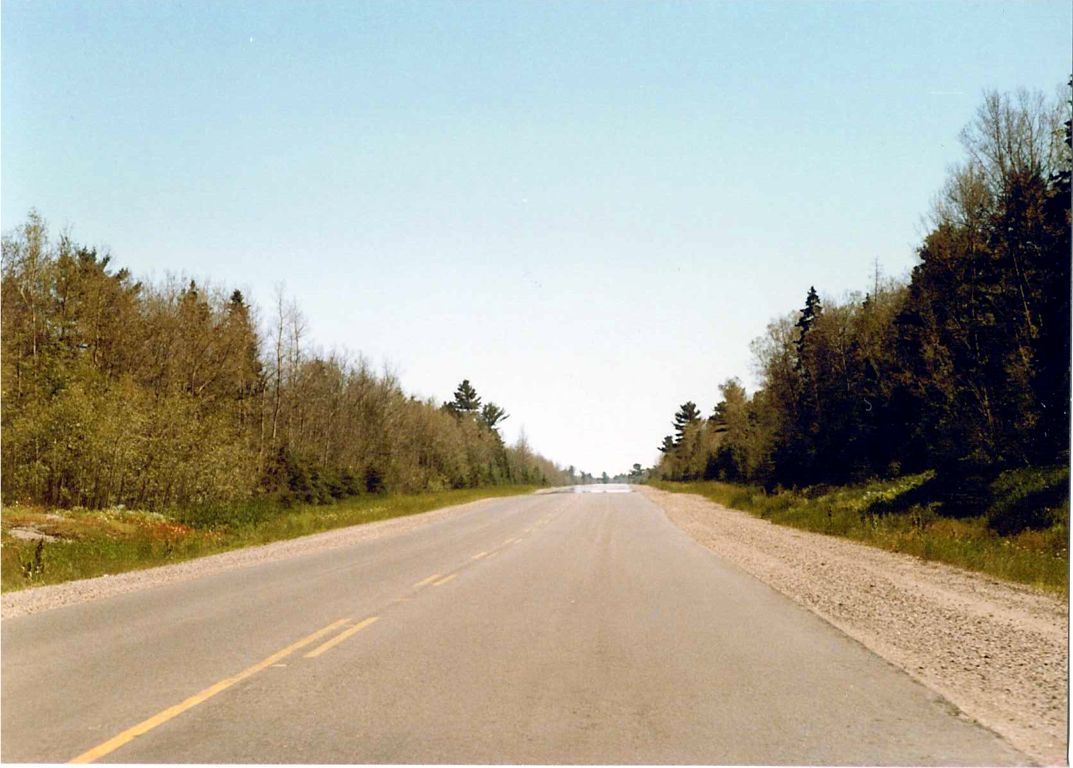 |
| Highway 69 facing south towards the Pickerel River bridge, a few kilometres south of the French River. The bridge overhead in this shot was removed in the late 1990s. Summer of 1989. | 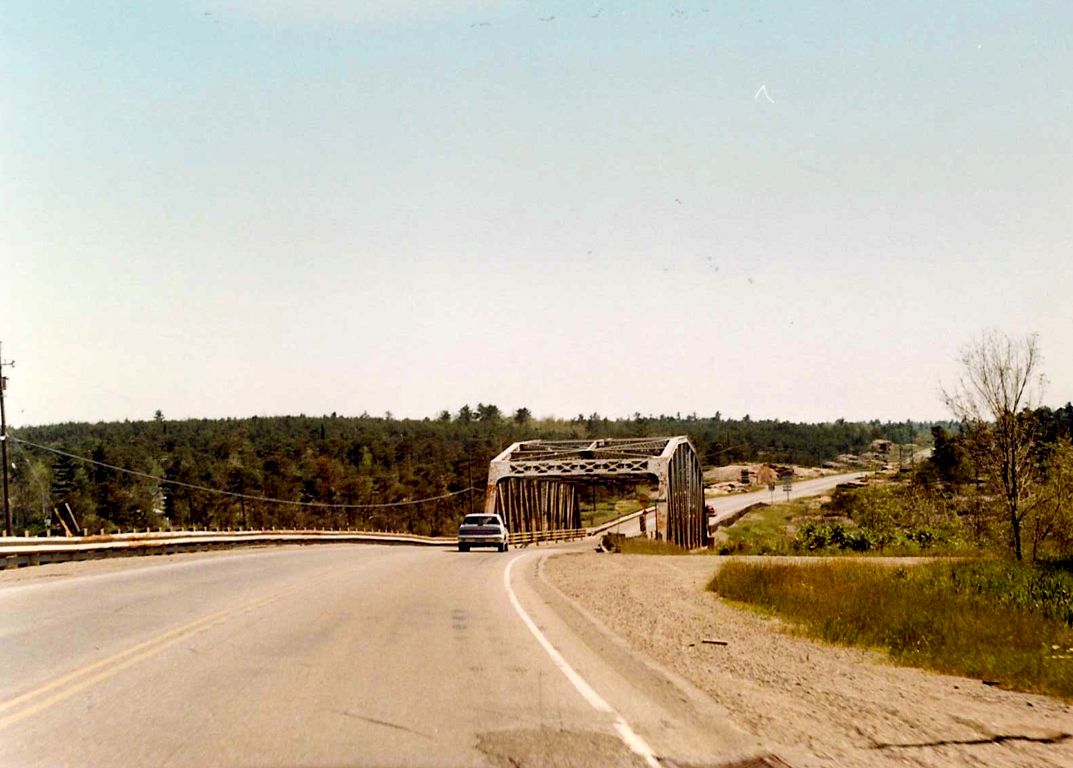 |
| Highway 69 facing south towards the French River bridge. The French River acts as the border between the District of Sudbury and the District of Parry Sound. Summer of 1989. | 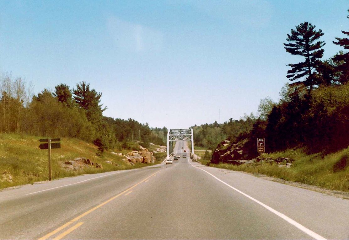 |
| Looking south along Highway 69, about 300 metres south of its junction with Highway 607 in Bigwood. The French River is approximately 1 kilometre south of this shot. Summer of 1989. | 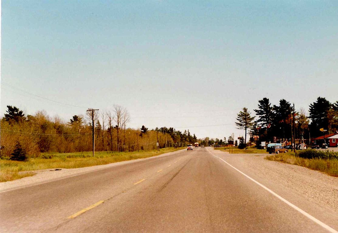 |
| Southbound Highway 69 a few hundred metres south of the location shown in the previous picture. This shot and the preceding two are all within 1 kilometre of each other. Summer of 1989. |  |
| Southbound Highway 69 a few hundred metres south of the location shown in the previous picture. Summer of 1989. | 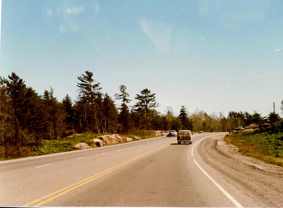 |
| A few kilometres north of the Highway 64 junction along southbound Highway 69, in the municipality of French River. Summer of 1989. | 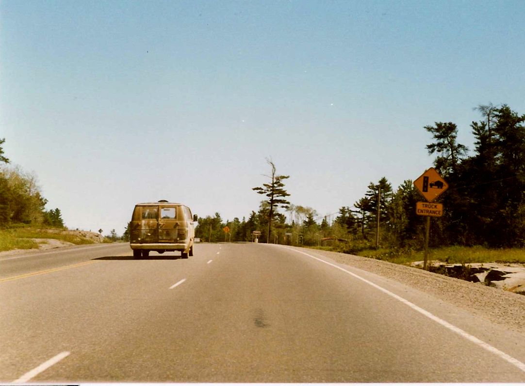 |
| Looking south along Highway 69 from its junction with Highway 537, about 15 kilometres south of Highway 69`s terminus with Highway 17. Summer of 1989. | 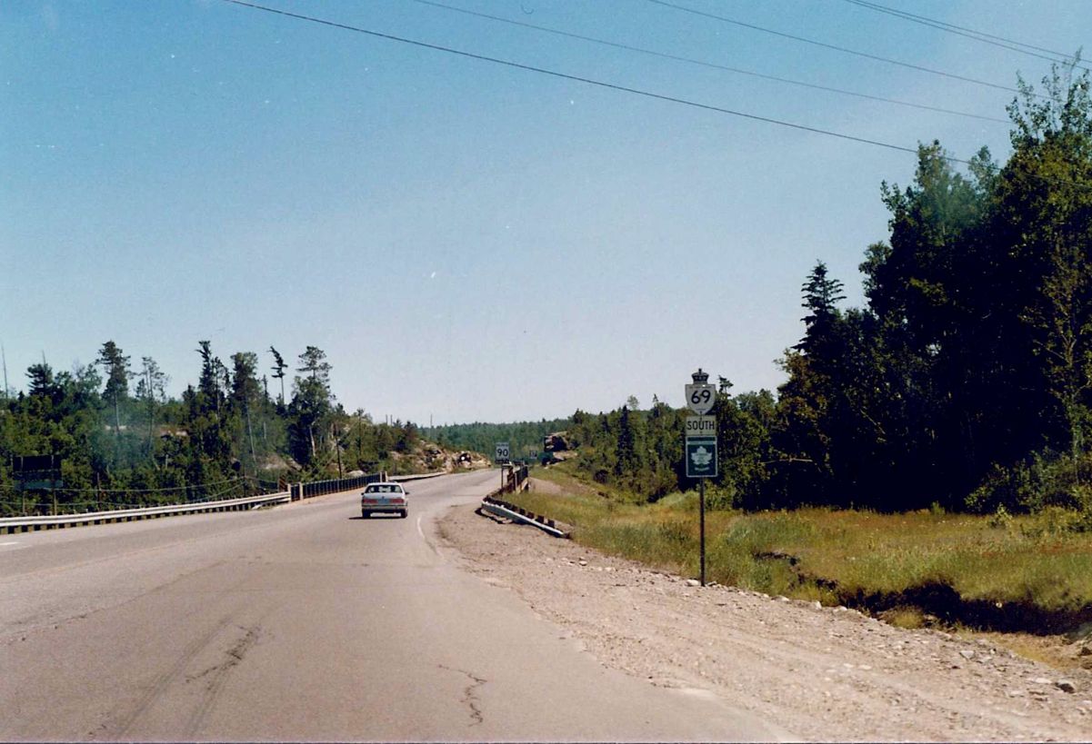 |
| Southbound Highway 69, about 3 kilometres north of its junction with Highway 537. A new 4 lane alignment of Highway 69 is currently under construction about 200 metres east of the present alignment seen in this shot. Summer of 1989. | 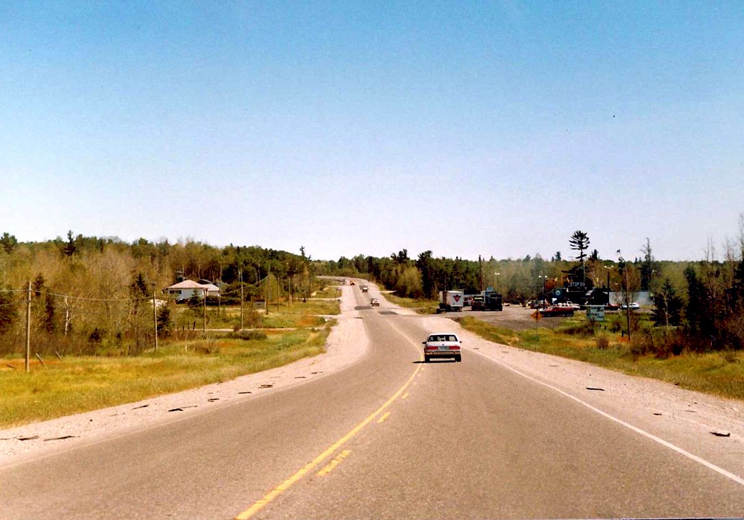 |
| Southbound Highway 69 approximately 500 metres south of the Gladu Road intersection. Summer of 1989. | 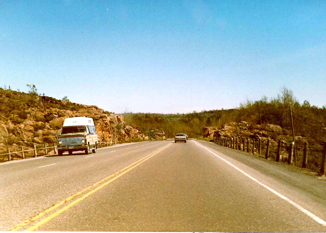 |
| Southbound Highway 69 at the Gladu Road intersection, about 15 kilometres south of downtown Sudbury. Summer of 1989. | 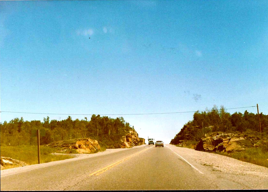 |
| Looking south along Highway 69 towards the end of a 4 lane section of highway, about 13 kilometres south of downtown Sudbury. Summer of 1989. | 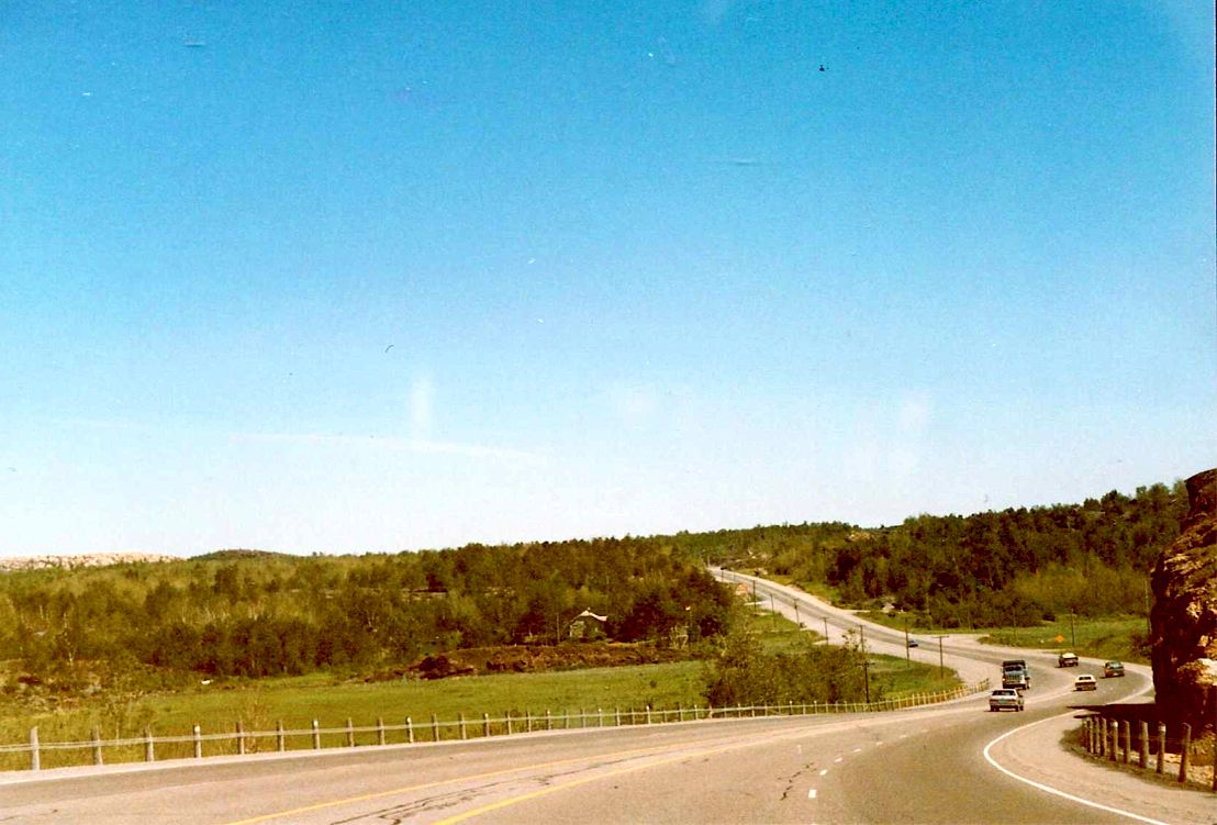 |
| Southbound Highway 69 at its intersection with the aptly named "Provincial Government Offices Road", about 10 kilometres south of downtown Sudbury. The part of the provincial government complex that housed the O.P.P is visible in the photo. Summer of 1989. | 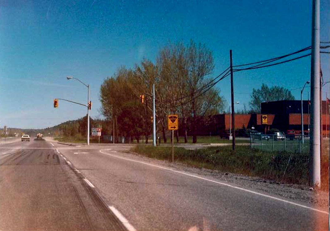 |
| Looking east(south) along the SW Sudbury Bypass towards its terminus at Highway 69, about 9 kilometres south of downtown Sudbury. Sudbury Road 46 represents the old alignment of Highway 69 into downtown Sudbury, before it was rerouted onto the SW Bypass in 1974. Summer of 1989. | 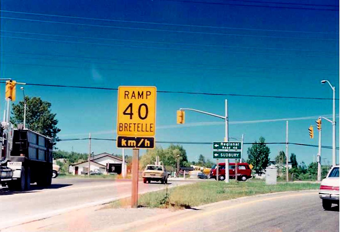 |
| Looking east(south) along the SW Sudbury Bypass. The SW Bypass (which is located just southwest of the urban areas of Sudbury, as the name would suggest) opened in 1974 with the purpose of diverting the busy Highway 69 and Highway 17 junction out of downtown Sudbury. Although the route essentially acted as an extension of Highway 69, allowing it to meet Highway 17 near Lively, it was actually designated as a 7000 series highway and signed with the type of trailblazers indicated in this photo. When the SE Bypass was completed, the urban Sudbury routing of Highway 17 (now Sudbury Road 55)was decommissioned and instead Highway 17 was designated along the SW/SE Bypass. It was a tough call as to whether I should place SW Bypass pics on the Highway 69 or Highway 17 page. Since in 1989 Highway 17 had a completely separate routing, and the SW Bypass acted ostensibly as a northerly extension of Highway 69, I will place them in the Highway 69 page. Summer of 1989. | 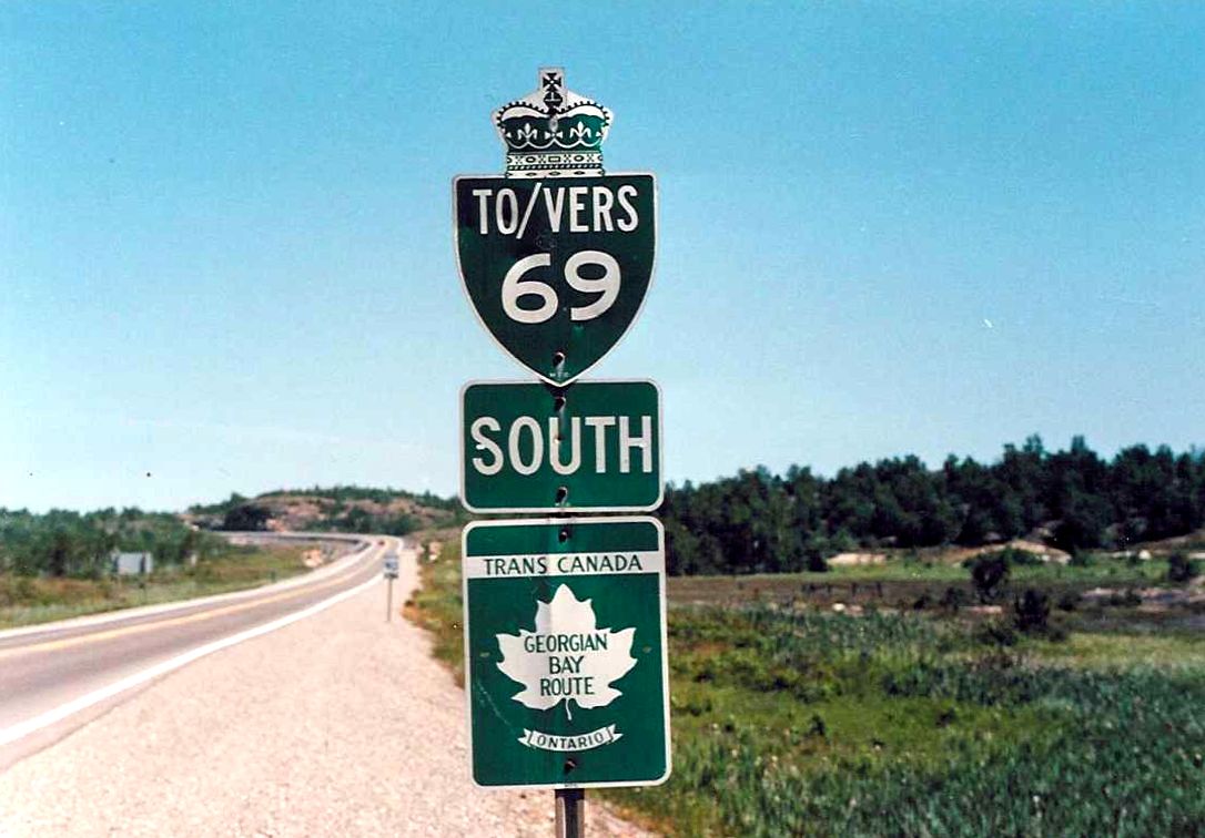 |
| Signage indicating to motorists that they are now entering the City of Sudbury on the southbound Highway 69/SW Bypass. Summer of 1989. | 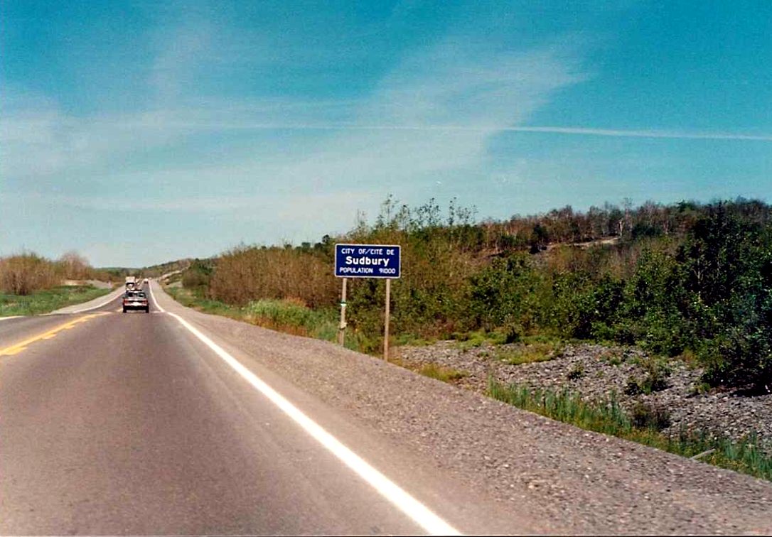 |