AsphaltPlanet.ca > Québec > Autoroute 15 > Page 4
|
Autoroute 15 |
| <- Page 3 |
|
R-117 -> |
Pictures on this page are arranged in order from south to north. A-15 North photos are left-aligned in the last column, while A-15 South photos are right-aligned. Center-line pictures are centered within the last column.
|
Location |
Description |
Photo |
||
|
North- |
South- |
|||
|
M.R.C. de la Rivière du Nord |
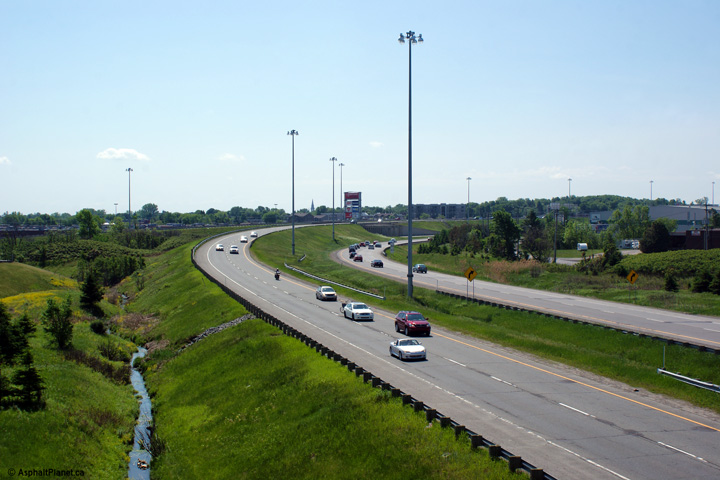
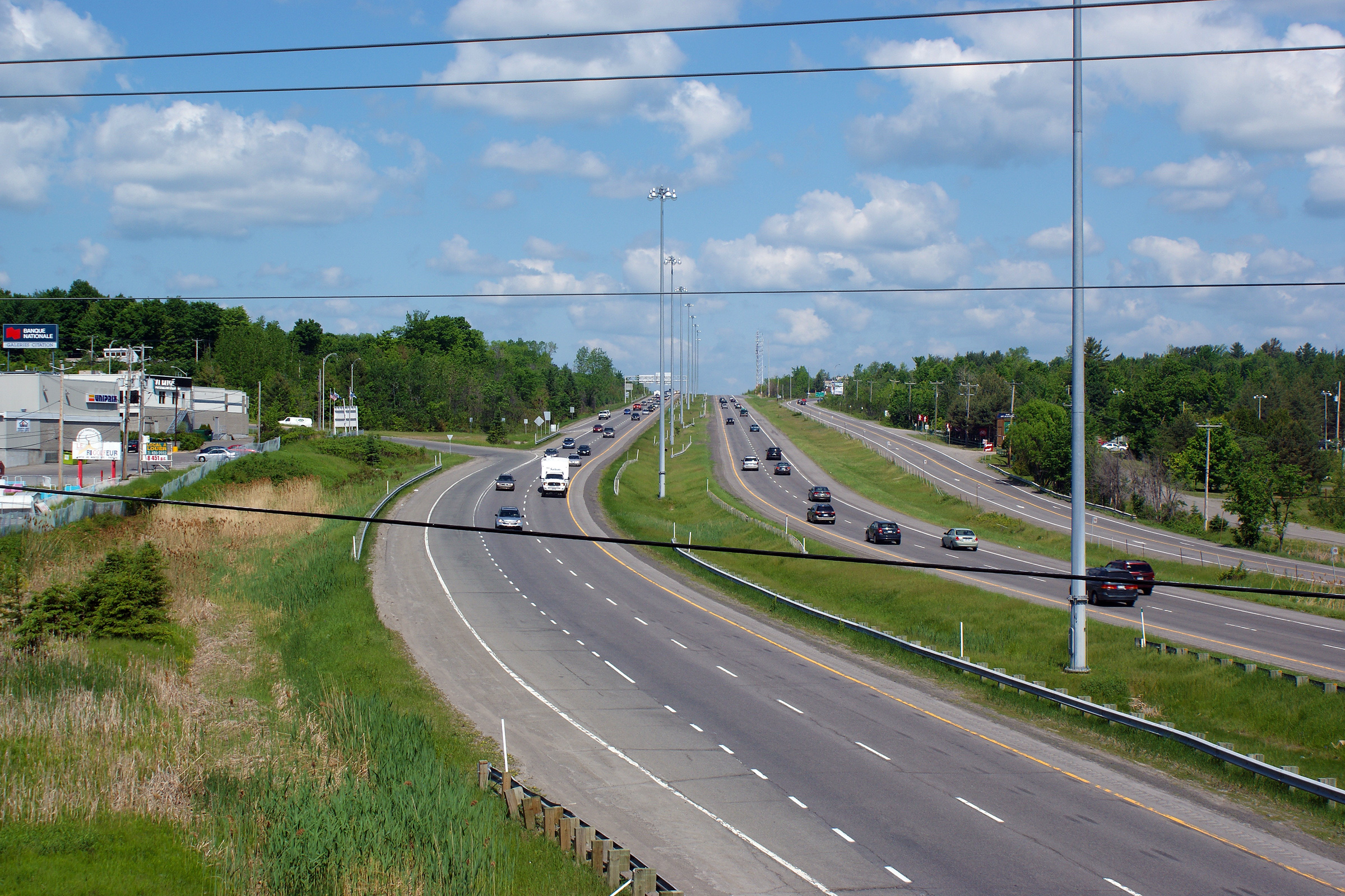
Southerly view from the Boul de la Salette overpass. Just south of the Boul de la Salette overpass A-15 merges with the Route 115 connector, and widens to a six lane highway, which it maintains southerly into Montreal. |
 |
||
|
Date: 5/24/2010 |
High-res: (1440x960) (2400x1600) | |||
|
M.R.C. de la Rivière du Nord |
Northerly view3 from the Boul de la Salette overpass. |
 |
||
|
Date: 5/24/2010 |
High-res: (1440x960) (2400x1600) | |||
|
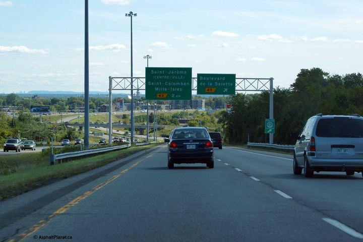
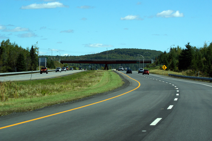
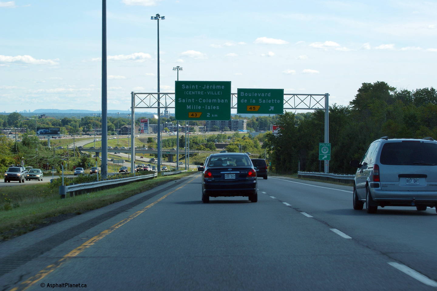
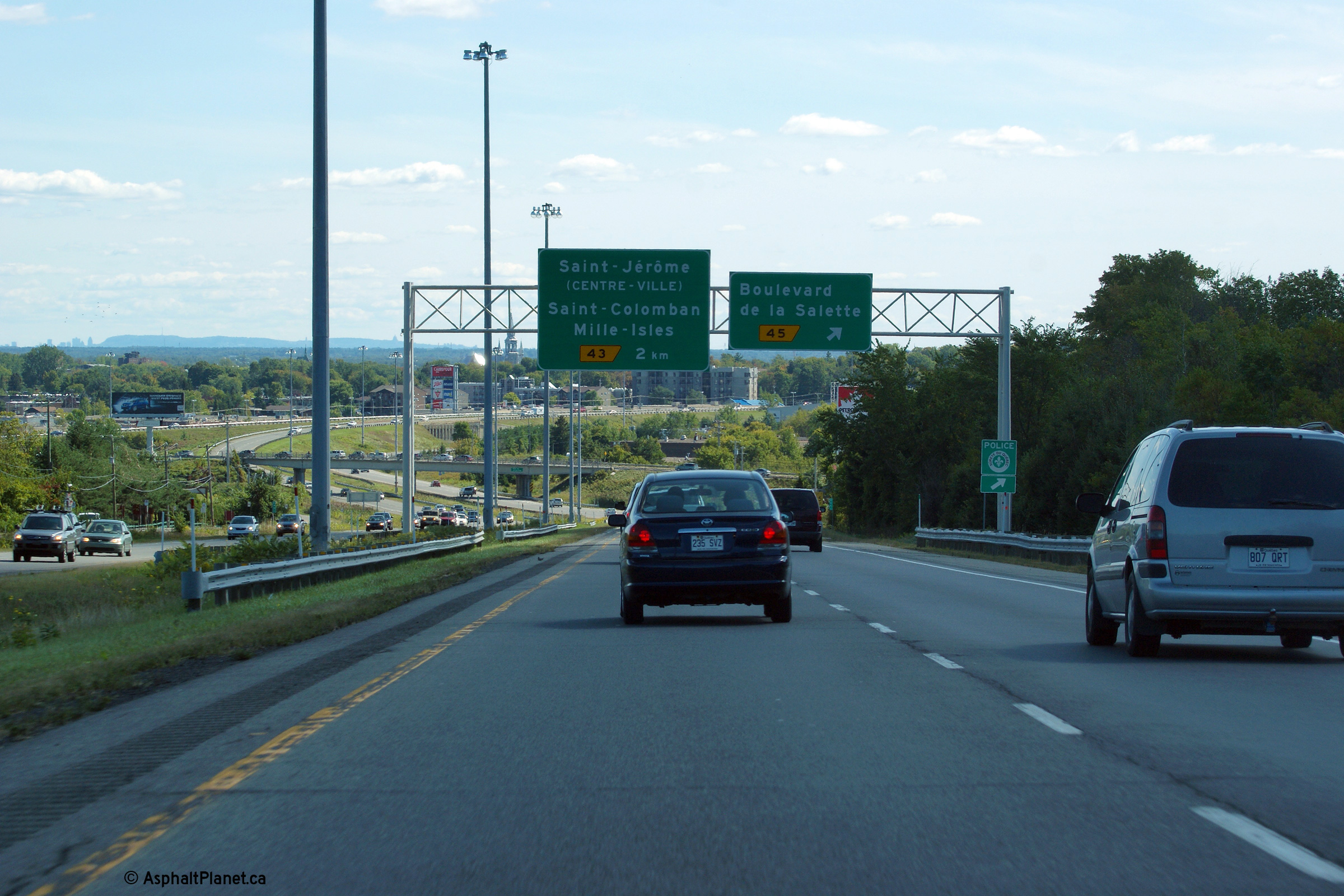
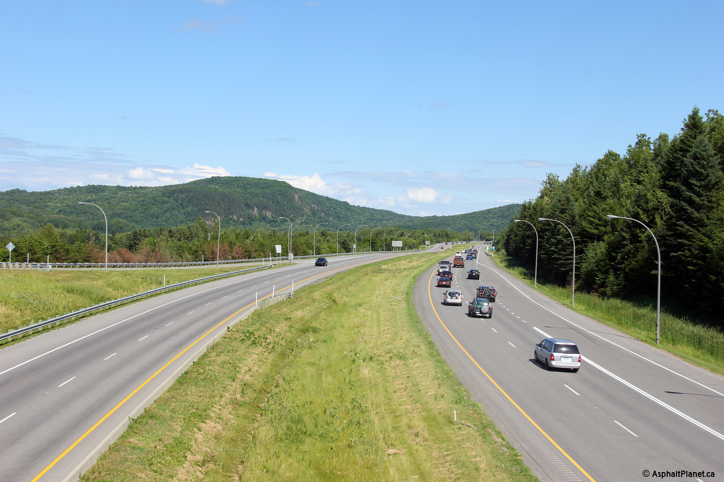
M.R.C. de la Rivière du Nord |
Southerly view at the off-ramp to Boul de la Salette. The Montreal skyline is visible to the left of Mount Royal in this photo. |
 |
||
|
Date: 9/19/2011 |
High-res: (1440x960) (2400x1600) | |||
|
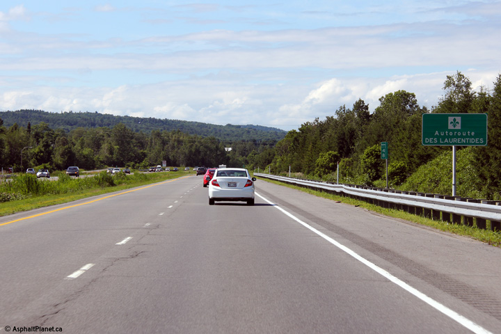
M.R.C. de la Rivière du Nord |
Northbound reassurance signage reminding motorists they are traveling on Autoroute des Laurentides (the Laurentian Autoroute). |
|
||
|
Date: 7/01/2012 |
High-res: (1440x960) | |||
|
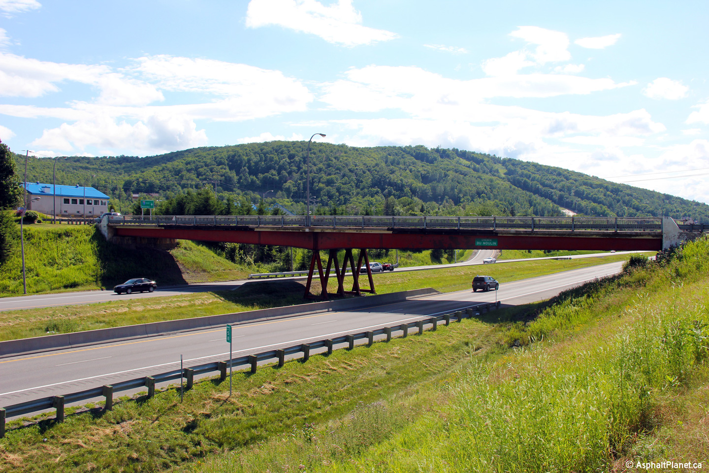
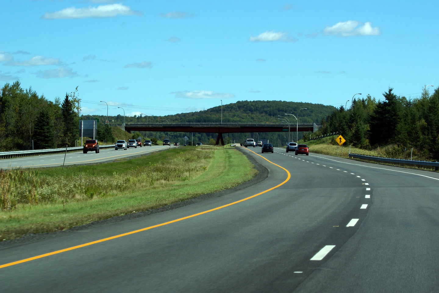
M.R.C. des Pays-d'en Haut |
View looking northerly towards the Chemin du Poulin structure. |
|
||
|
Date: 7/01/2012 |
High-res: (1440x960) (2400x1600) | |||
|
M.R.C. des Pays-d'en Haut |
Southerly view towards Montreal from the Chemin du Poulin overpass. |
 |
||
|
Date: 7/01/2012 |
High-res: (1440x960) (2400x1600) | |||
|
M.R.C. des Pays-d'en Haut |
Northerly view from the Chemin du Poulin overpass. |
|
||
|
Date: 7/01/2012 |
High-res: (1440x960) (2400x1600) | |||
|
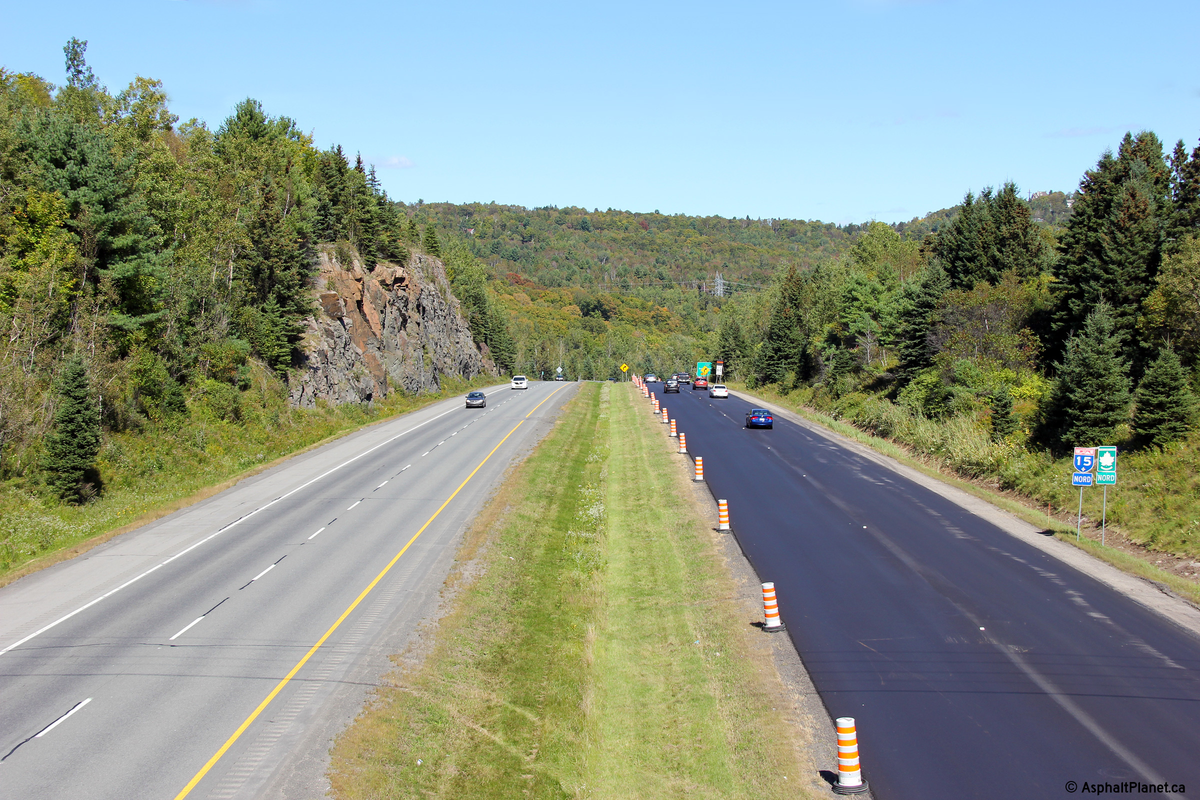
M.R.C. des Pays-d'en Haut |
Southerly view along the Laurentian Autoroute approaching the Chemin du Poulin overpass. |
 |
||
|
Date: 9/19/2011 |
High-res: (1440x960) (2400x1600) | |||
|
M.R.C. des Pays-d'en Haut |
Southerly view looking towards the Chemin de Gabriel interchange from the Mtée Binette overpass. |
 |
||
|
Date: 12/7/2008 |
High-res: (1440x960) (2400x1600) | |||
|
M.R.C. des Pays-d'en Haut |
Northerly view along A-15 from the Mtée Binette overpass. |
 |
||
|
Date: 12/7/2008 |
High-res: (1440x960) (2400x1600) | |||
|
M.R.C. des Pays-d'en Haut |
Southerly view from the Rue Séraphin overpass. |
|
||
|
Date: 12/7/2008 |
High-res: (1440x960) (2400x1600) | |||
|
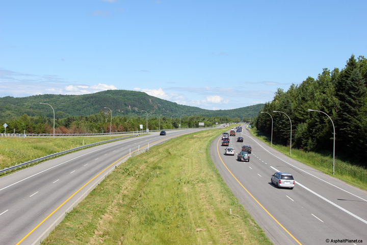
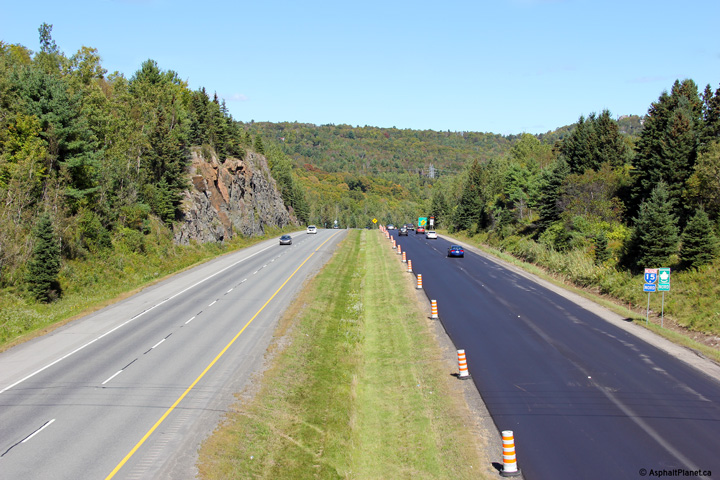
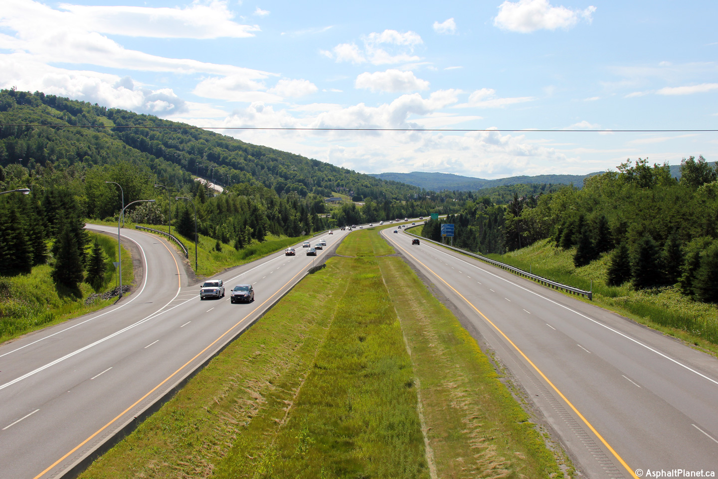
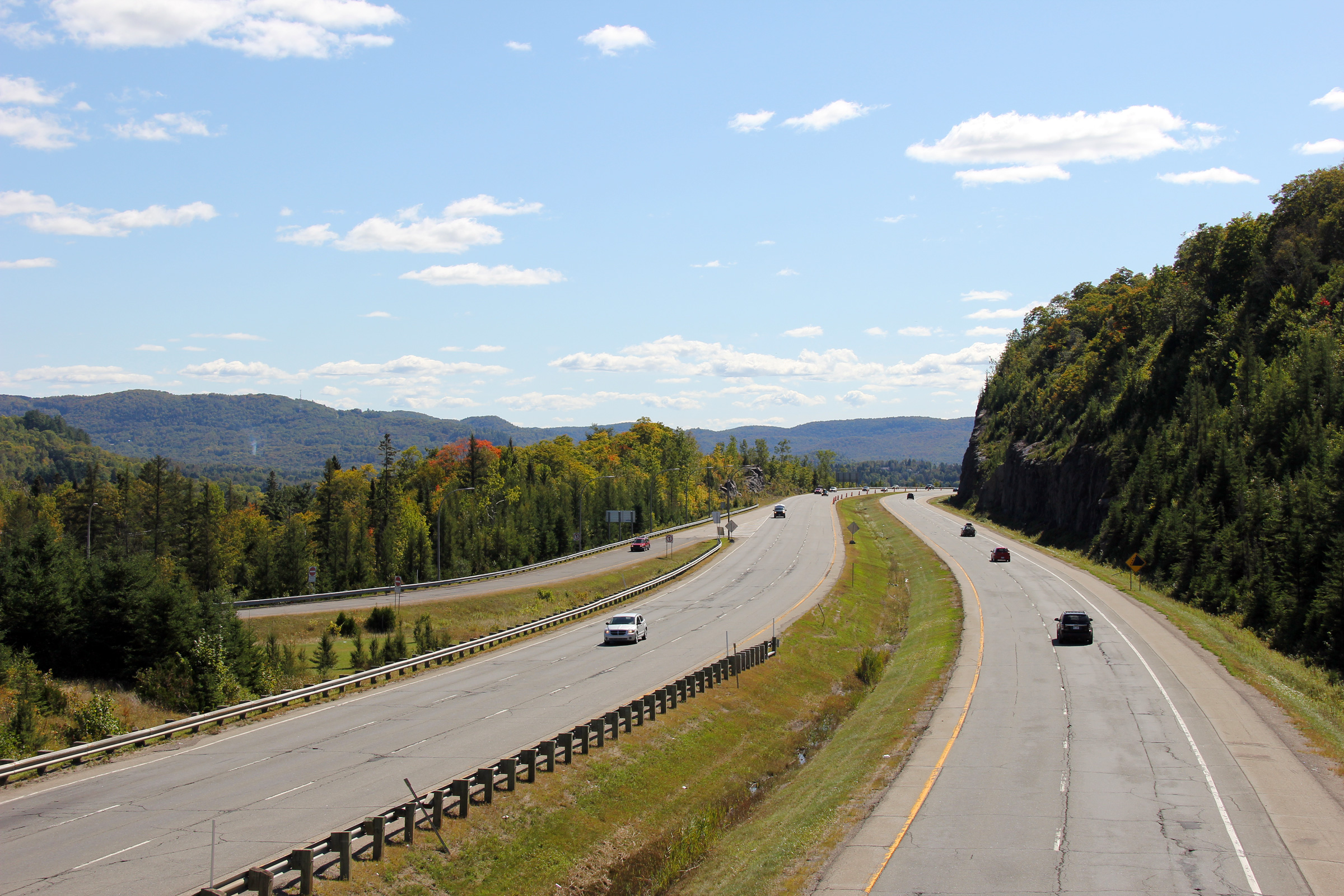
M.R.C. des Pays-d'en Haut |
This view looks northerly towards Sainte-Agathe-des Monts from the Rue Séraphin overpass. The Laurentian Autoroute has an additional northbound climbing lane through this section of freeway as the autoroute traverses a large hill |
 |
||
|
Date: 12/7/2008 |
High-res: (1440x960) (2400x1600) | |||
|
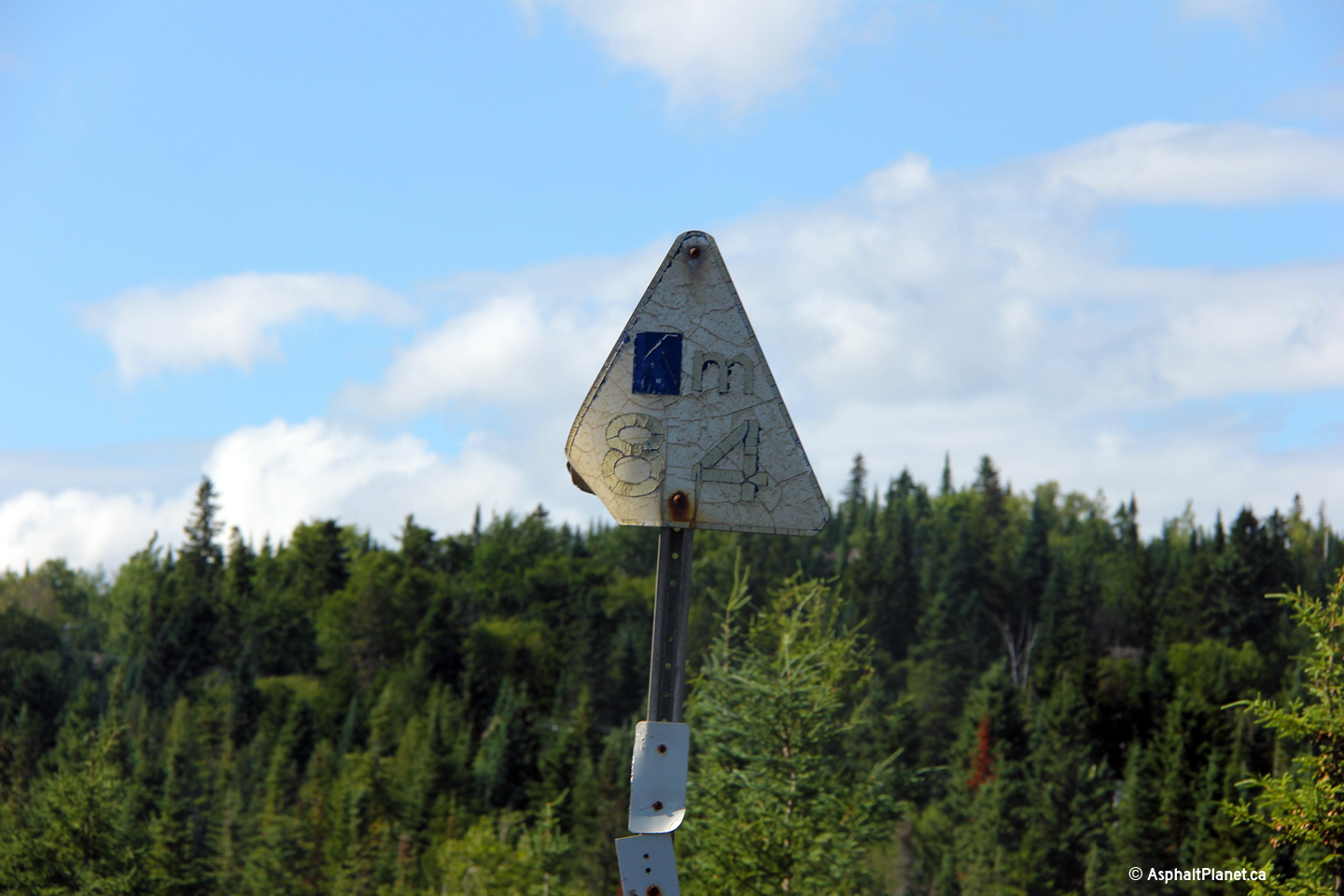
M.R.C. des Laurentides |
Faded old style Laurentian Autoroute mileage marker. |
|
||
|
Date: 7/01/2012 |
High-res: (1440x960) | |||
|
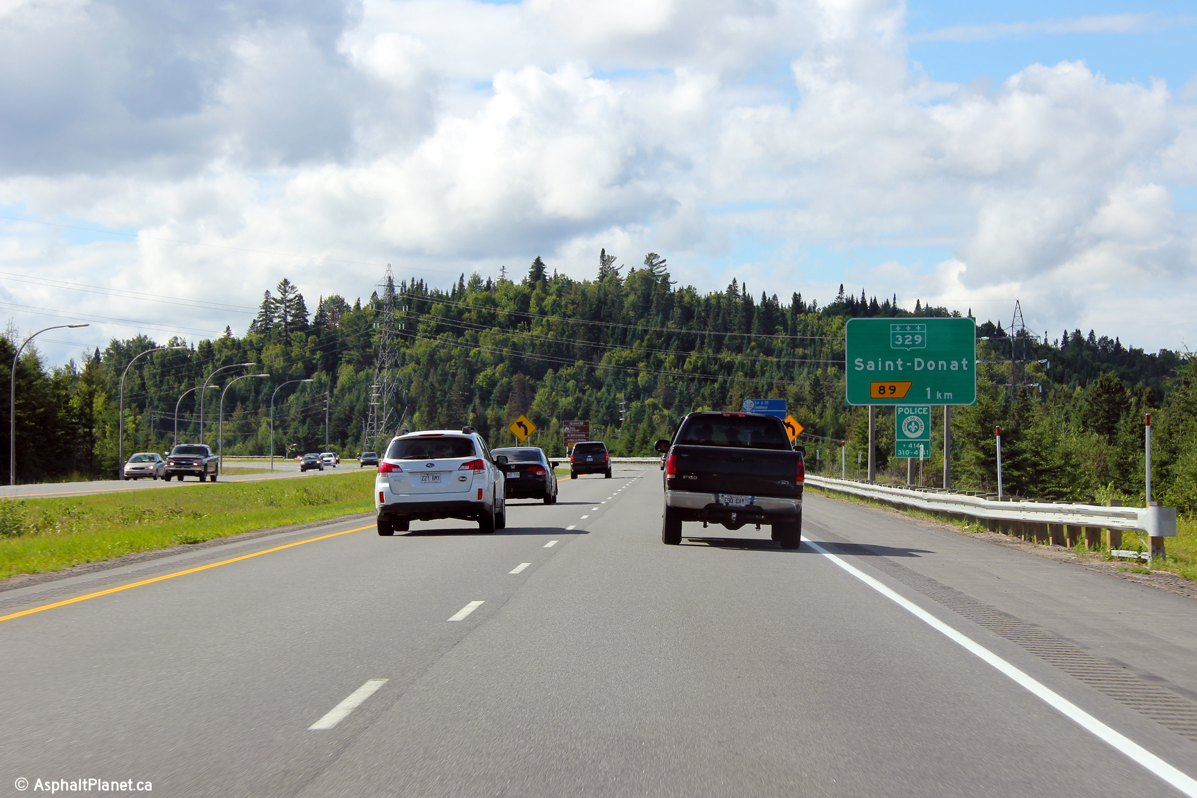
M.R.C. des Laurentides |
Advanced signage for the Route 329 interchange. Route 329 is the northern-most interchange along Autoroute 15, before the freeway merges with Route 117.. |
|
||
|
Date: 7/01/2012 |
High-res: (1440x960) (2400x1600) | |||
|
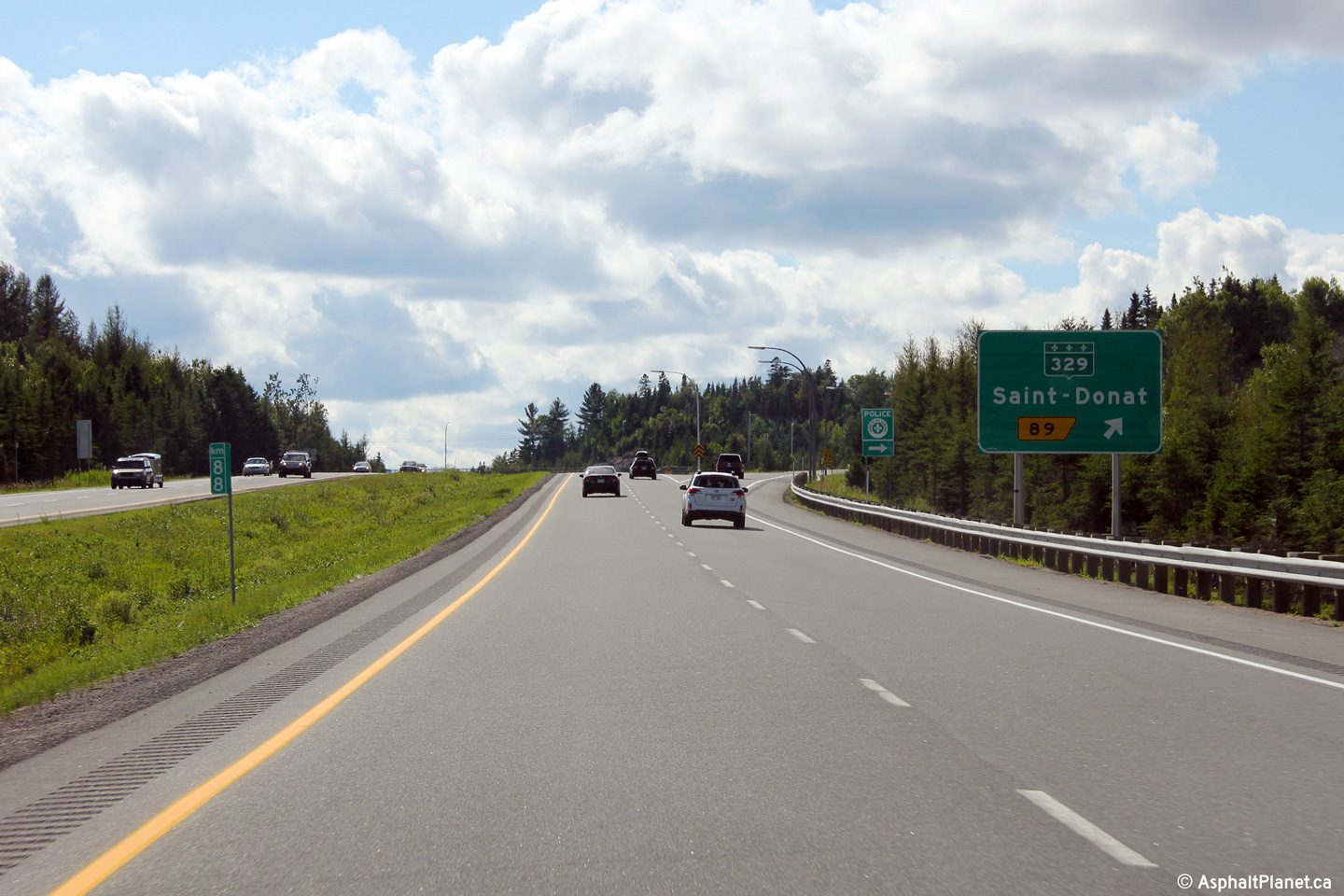
M.R.C. des Laurentides |
Northbound signage at the off-ramp to the Route 329 interchange. |
|
||
|
Date: 7/01/2012 |
High-res: (1440x960) (2400x1600) | |||
|
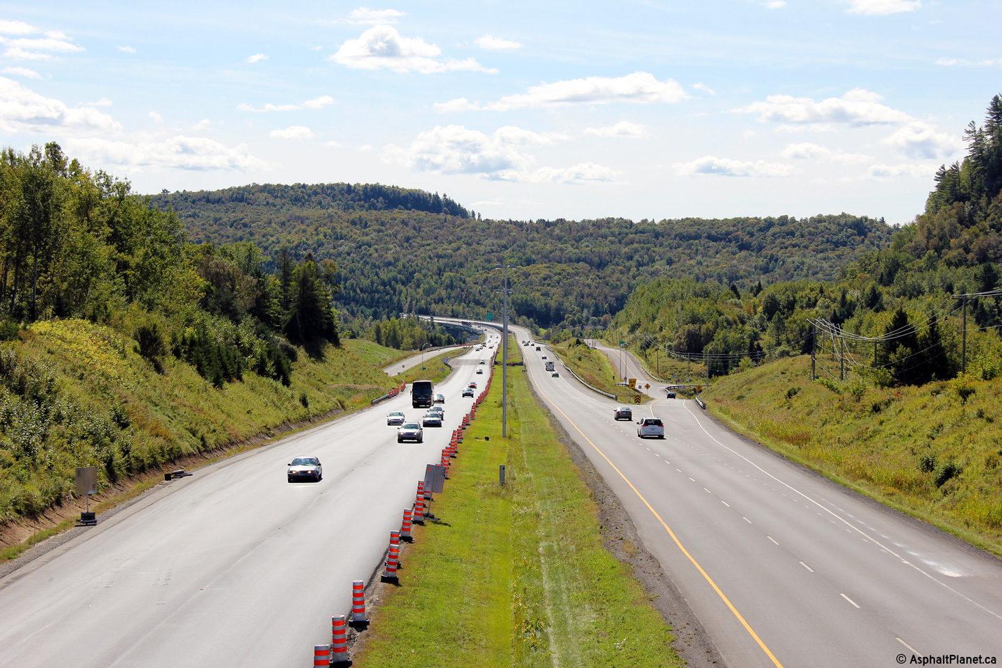
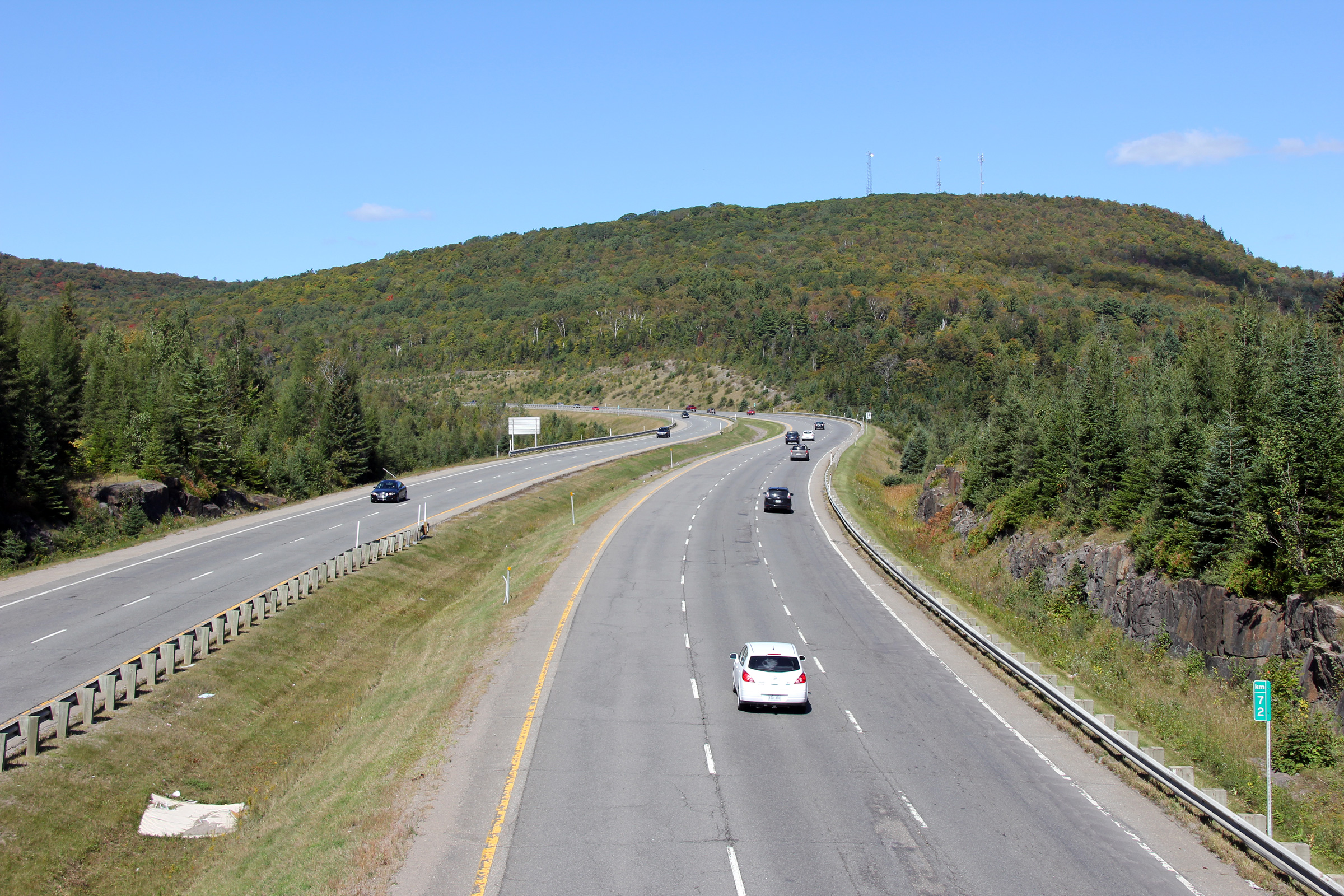
M.R.C. des Laurentides |
Southerly view along the Sainte-Agathe-des-Monts by-pass from the Route 329 overpass. |
 |
||
|
Date: 12/7/2008 |
High-res: (1440x960) (2400x1600) | |||
|
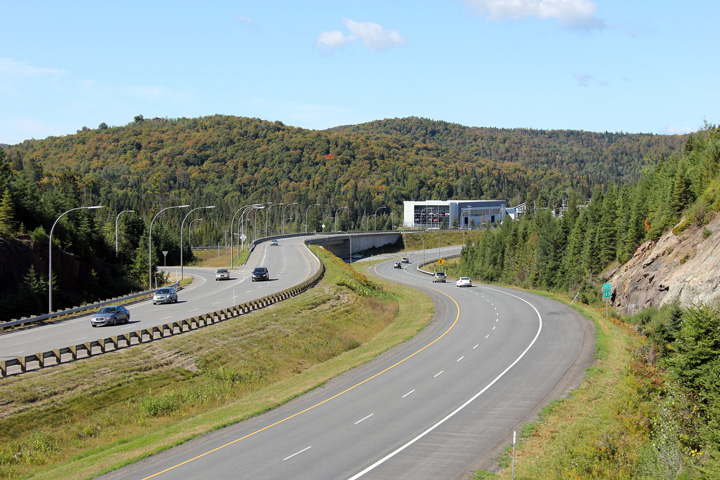
M.R.C. des Laurentides |
This view looks northerly from the Route 329 overpass towards the northern terminus of Autoroute 15 at Route 117. Route 117 continues northerly as a divided highway for a considerable distance north of Sainte-Agathe-des-Monts. |
 |
||
|
Date: 12/7/2008 |
High-res: (1440x960) (2400x1600) | |||
<- Page 3 Back to Autoroute 15 Index R-117 ->
© 2006-2014 Scott Steeves.
AsphaltPlanet@asphaltplanet.ca
Page Created: December 13, 2008.
Last Updated: June 28, 2014.


