AsphaltPlanet.ca > Québec > Autoroute 20 > Page 4
|
Autoroute 20 |
| <- Page 3 |
|
Page 5 -> |
Pictures on this page are arranged in order from west to east. A-20 East photos are left-aligned in the last column, while A-20 west photos are right-aligned. Center-line pictures are centered within the last column.
|
Location |
Description |
Photo |
|||
|
East- |
West- |
||||
|
Autoroute 55 is the Trans-Quebecois Autoroute progressing southerly from A-20 through to Sherbrooke and Interstate 91 at Vermont. Click here for A-55-South images. |
|||||
|
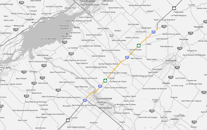
MRC de Drummond Drummondville |
Westbound signage for the ramp to Autoroute 55 South.
Surprisingly, this interchange isn't signed with overhead signage. Signalisation vers l'ouest pour la rampe d'accès à l'autoroute 55 Sud. Étonnamment, cet échangeur n'est pas signé avec la signalisation aérienne. |
|
|||
|
Date: 7/5/2006 |
High-res: (1440x960) (2400x1600) | ||||
|
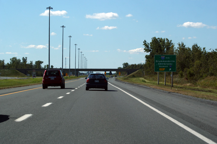
MRC de Drummond Drummondville |
Westbound signage for Route 143. Route 143 is the principal route
into Drummondville. Signalisation vers l'ouest pour la route 143. Route 143 est la principale voie dans Drummondville. |
|
|||
|
Date: 7/5/2006 |
High-res: (1440x960) (2400x1600) | ||||
|
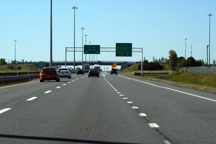
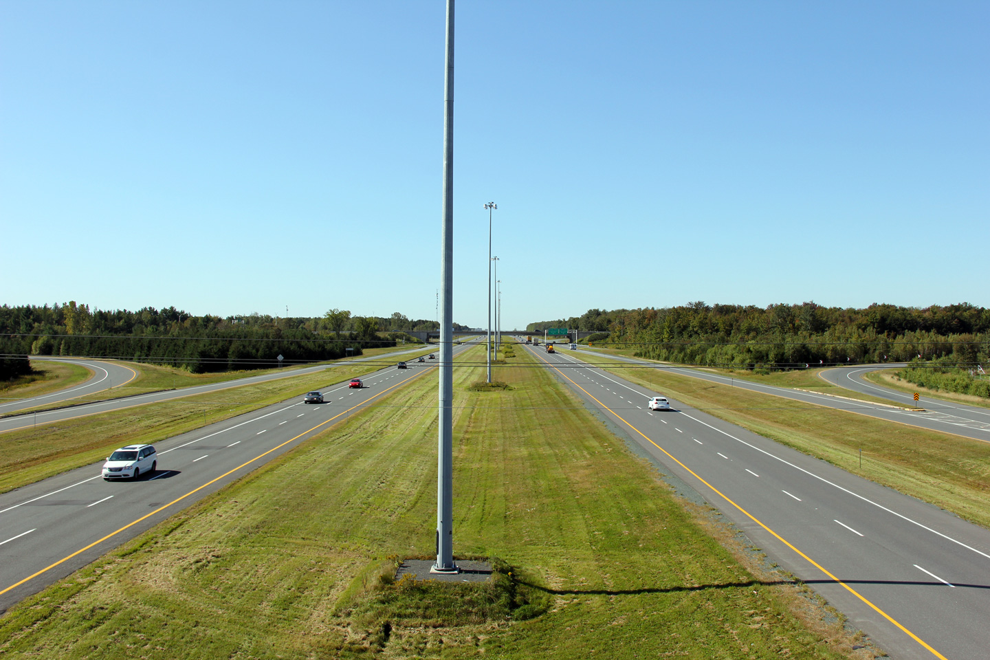
MRC de Drummond Notre-Dame-du-Bon-Conseil |
This view looks west from the 10e Rang de Westover overpass. Cette vue s'oriente vers l'ouest du viaduc de la 10e Rang de Westover. |
|
|||
|
Date: 9/18/2011 |
High-res: (1440x960) (2400x1600) | ||||
|
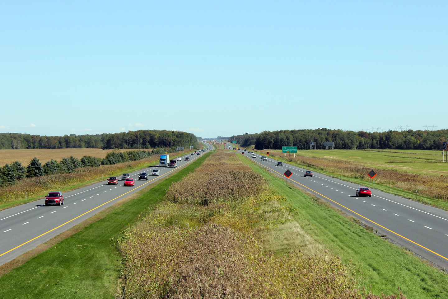
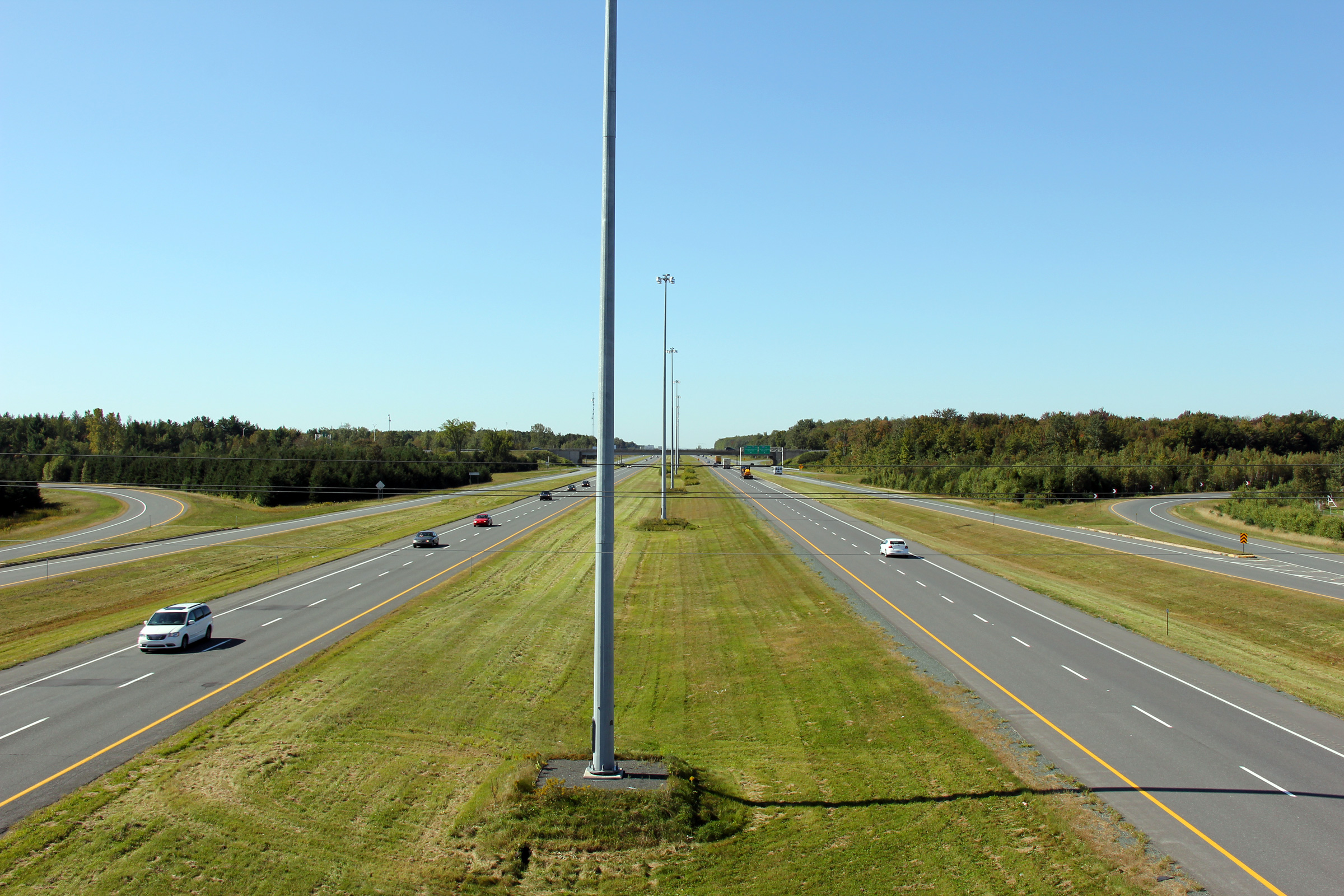
MRC de Drummond Notre-Dame-du-Bon-Conseil |
View looking easterly from the 10e Rang de Wendover overpass towards the
Rivière Nicolet Sud-Ouest. Vue vers l'est à partir du viaduc de 10e Rang de Wendover vers la rivière Nicolet Sud-Ouest. |
|
|||
|
Date: 9/18/2011 |
High-res: (1440x960) (2400x1600) | ||||
|
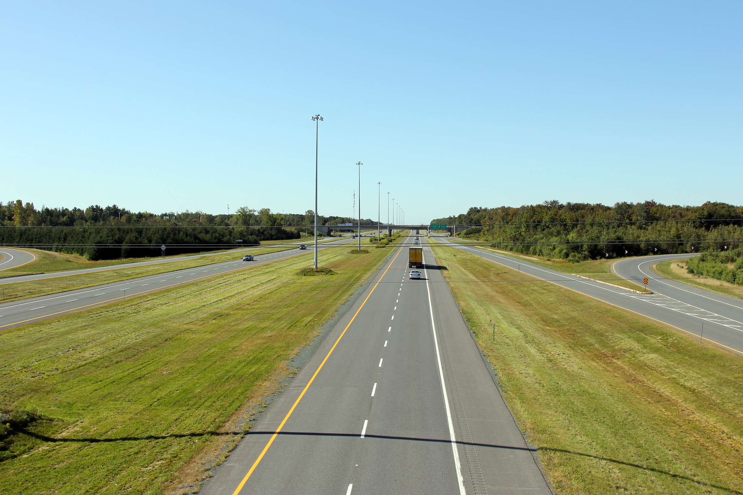
MRC de Drummond Notre-Dame-du-Bon-Conseil |
Driving westerly across Rivière Nicolet Sud-Ouest along Autoroute 20. Conduire ouest à travers la rivière Nicolet Sud-Ouest sur l'autoroute 20. |
|
|||
|
Date: 9/18/2011 |
High-res: (1440x960) (2400x1600) | ||||
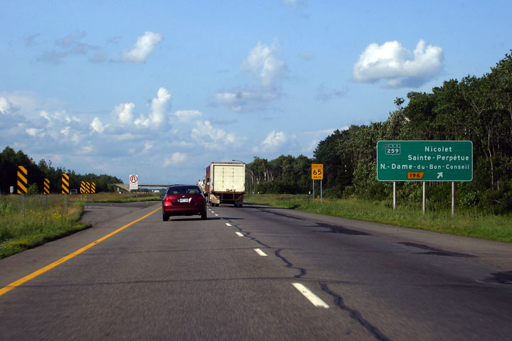
|
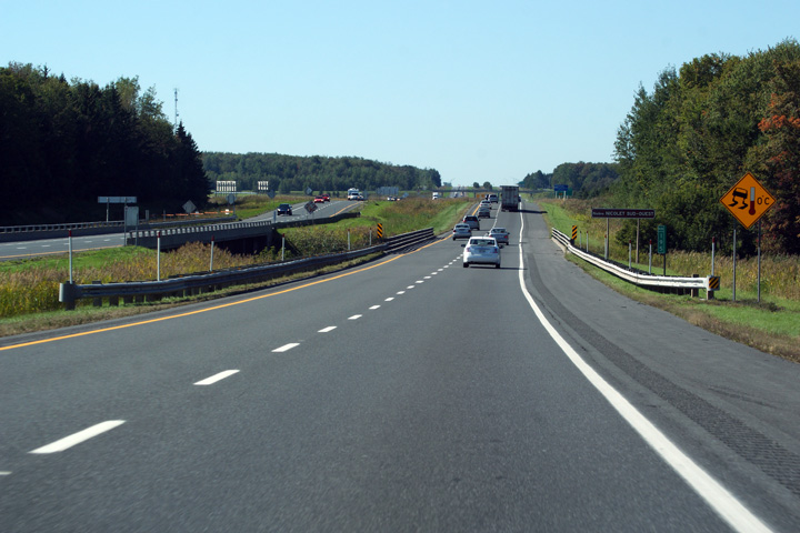
MRC de Drummond Notre-Dame-du-Bon-Conseil |
Guide signage for the R-259 interchange. Signalisation pour la Route 259 échangeur. |
|
|||
|
Date: 7/5/2006 |
High-res | ||||
|
MRC de Drummond Notre-Dame-du-Bon-Conseil |
Ground mounted guide signage for the ramp to Route 155. When this photo
was taken, this sign still indicated A-55 North which had just been
moved to a new alignment that now intersects A-20 at the A-955
interchange. Terrain montés signalisation guide pour la rampe d'accès à la route 155. Quand cette photo a été prise, ce signe encore indiqué A-55 Nord, qui venait d'être déplacé vers un nouvel alignement qui croise maintenant A-20 à l'échangeur A-955. |
|
|||
|
Date: 7/5/2006 |
High-res | ||||
|
MRC d'Arthabaska |
Advanced sigange for the A-55 North and A-955 interchange. Sigange avancée pour le Nord A-55 et A-955 d'échange. |
 |
|||
|
Date: 7/5/2006 |
High-res | ||||
|
MRC d'Arthabaska |
This is the second of three signs for A-55.
C'est la deuxième des trois signes pour A-55. |
|
|||
|
Date: 7/5/2006 |
|||||
|
MRC d'Arthabaska |
Overhead signage for A-55 and A-955. A-55/955 meets A-20 at a
cloverleaf interchange. Signalisation aérienne pour l'A-55 et A-955. A-55/955 croise A-20 à un échangeur en trèfle. |
 |
|||
|
Date: 7/5/2006 |
|||||
|
Autoroute 55 heads north from Autoroute 20 at this interchange for Trois-Rivières, while Autoroute 955 leads south bound for Victoriaville. Click here for A-55-North images and here for A-955 images. |
|||||
|
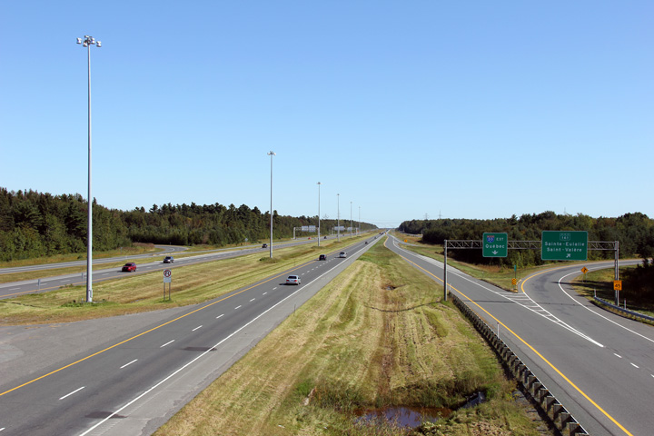
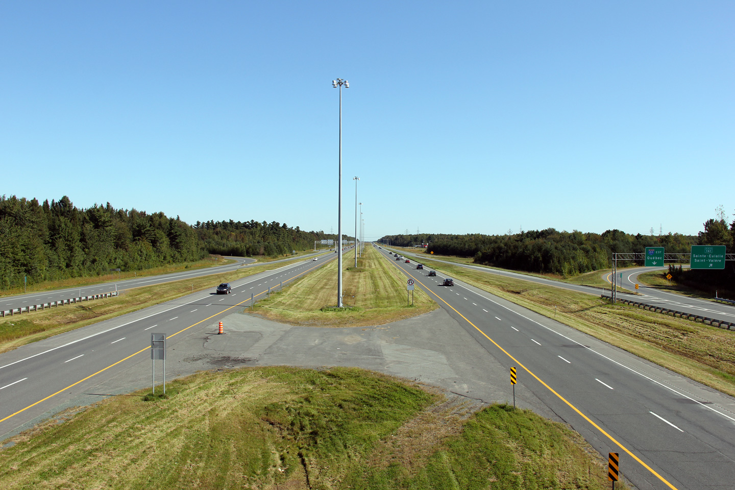
MRC d'Arthabaska |
Westerly view from the Route 161 overpass towards the Autoroute 55 and
955 cloverleaf. The Autoroute 55/955 interchange shares a common
set of collector lanes with the Route 161 interchange because of their
close proximity. Vue ouest de la viaduc de la route 161 vers l'autoroute 55 et 955 trèfle. L'autoroute 55/955 échangeur parts un ensemble commun de voies collectrices avec la Route 161 échanges en raison de leur proximité. |
|
|||
| High-res: (1440x960) (2400x1600) | |||||
|
|
|||||
|
Date: 9/18/2011 |
High-res: (1440x960) (2400x1600) | ||||
|
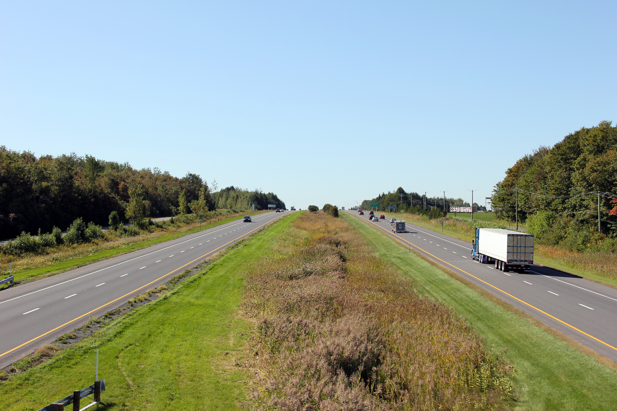
MRC d'Arthabaska |
Easterly view from the Route 161 overpass as Autoroute 20 narrows back
to a four-lane freeway. Cette vue s'oriente vers Est de la route 161 en autoroute 20 se rétrécit en arrière d'une autoroute à quatre voies |
|
|||
| High-res: (1440x960) (2400x1600) | |||||
|
|
|||||
|
Date: 9/18/2011 |
High-res: (1440x960) (2400x1600) | ||||
<- Page 3 Back to Autoroute 20 Index Page 5 ->
© 2006-2011 AsphaltPlanet.ca.
AsphaltPlanet@asphaltplanet.ca
Page Created: January 21, 2009.
Last Updated: October 15, 2011.


