AsphaltPlanet.ca > Quebec > Autoroute 40 > Page 5
|
Autoroute 40 |
| <- Page 4 |
|
Page 6 -> |
Pictures on this page are arranged in order from west to east. A-40 East photos are left-aligned in the last column, while A-40 west photos are right-aligned. Center-line pictures are centered within the last column.
|
Location |
Description |
Photo |
||
|
East- |
West- |
|||
|
Autoroute 40 photos continued westerly from Bertierville on Page 4. Click here for Page 4 images. |
||||
|
Autoroute 55 continues northerly bound for Shawinigan and beyond. Click here for Autoroute 55-North images. |
||||
|
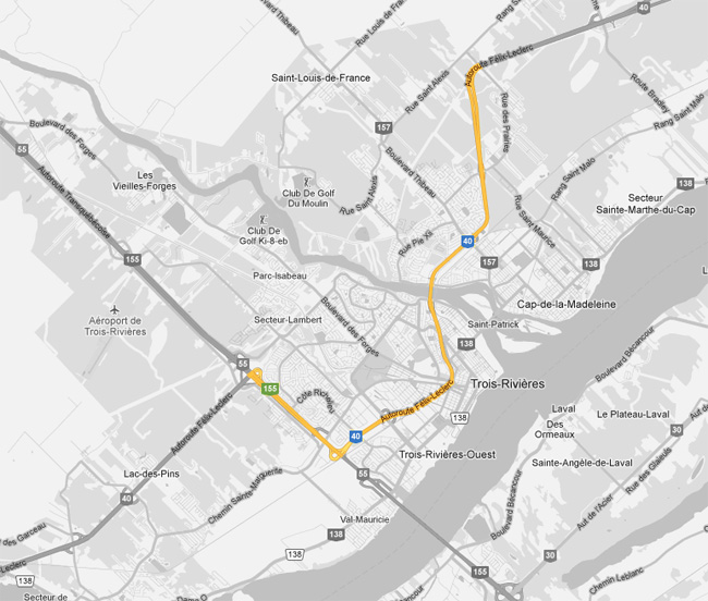
Trois-Rivières |
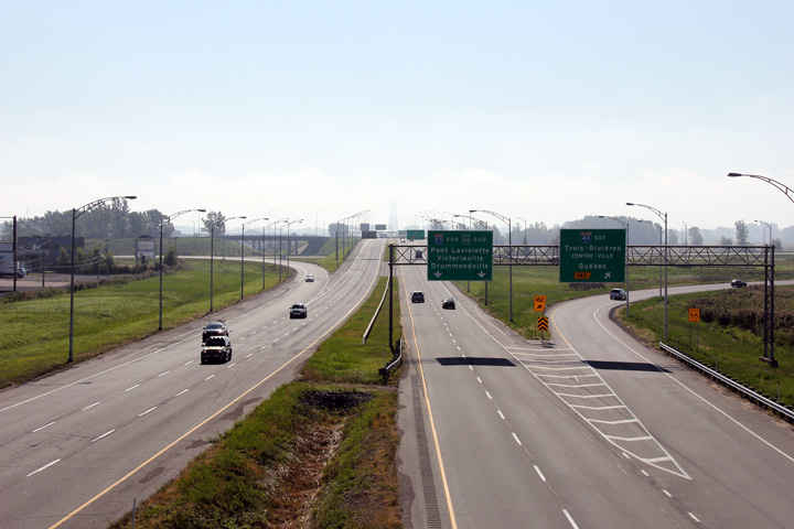
View looking northerly from the Côte Richelieu overpass towards the western Autoroute 40 interchange. Autoroute 40 departs from Autoroute 55's alignment bound for Montréal and points west.
On vue vers le nord depuis le pont d'étagement de la côte Richelieu vers l'échangeur ouest de l'autoroute 40. L'autoroute 40 départ de l'alignement de l'autoroute 55 en route pour Montréal et les destinations de plus à l'ouest. |
 |
||
|
Date: 5/24/2010 |
High-res: (1440x960) (2400x1600) | |||
|
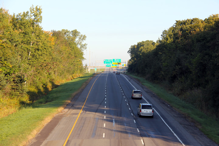
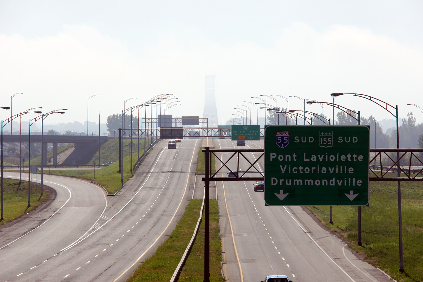
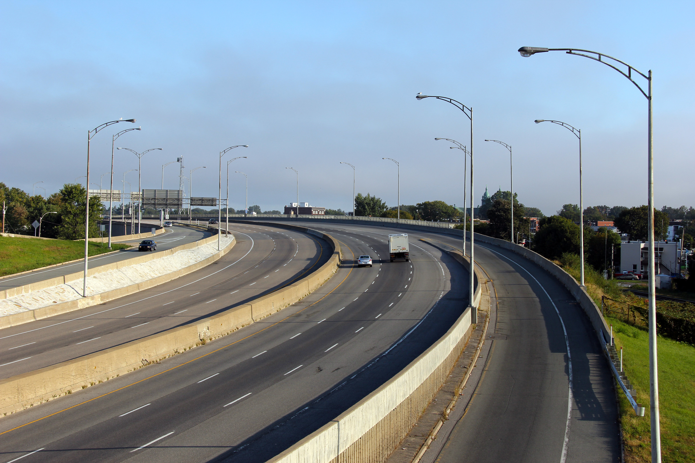
Trois-Rivières |
Foggy view looking southerly from the Côte Richelieu overpass towards Pont Laviolette.
Vue brumeux vers le sud et le pont Laviolette à partir du passage supérieur de la côte Richelieu. |
 |
||
|
Date: 5/24/2010 |
High-res: (1440x960) (2400x1600) | |||
|
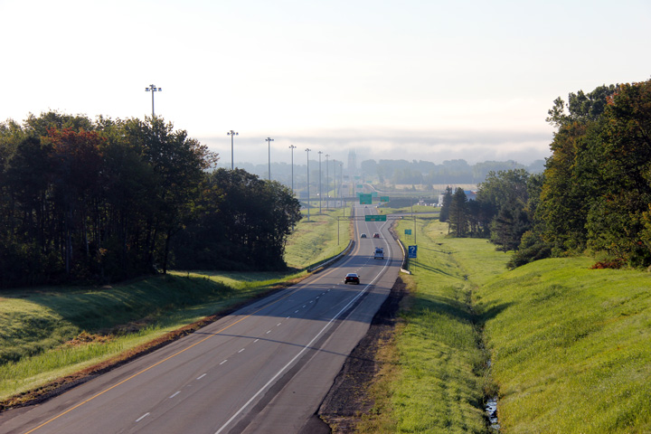
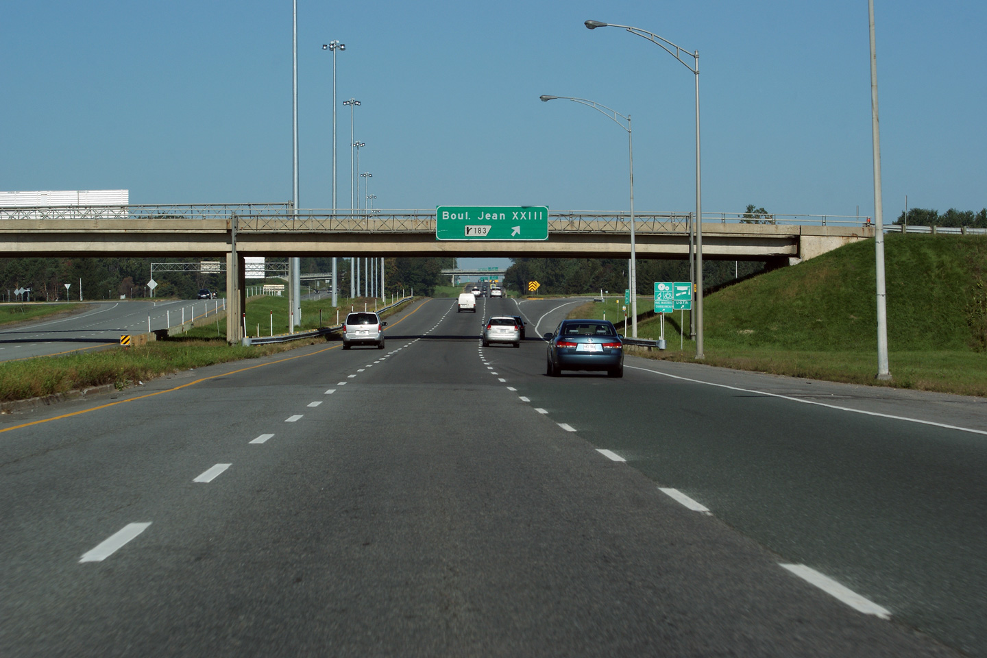
Trois-Rivières |
Looking northerly from the Boul. Jean-XXII overpass.
Vue vers le nord depuis le pont d'étagement du boul. Jean-XXIII. |
 |
||
|
Date: 5/24/2010 |
High-res: (1440x960) (2400x1600) | |||
|
Trois-Rivières |
Two views looking southerly from the Boul. Jean-XXII overpass towards Pont Laviolette. Pont Laviolette was enshrouded in a dense morning fog when these photos were taken.
Deux vues en direction sud depuis le pont d'étagement du boul. Jean-XXII vers le pont Laviolette. Le pont Laviolette était enveloppé dans un brouillard matinal dense lorsque ces photos ont été prises. |
 |
||
| High-res: (1440x960) (2400x1600) | ||||
 |
||||
|
Date: 5/24/2010 |
High-res: (1440x960) (2400x1600) | |||
|
Trois-Rivières |
Older guide signage for the exit to Boul. Jean-XXII..
La sortie pour le boul. Jean-XXII est délimitée par un panneau vieux. |
 |
||
|
Date: 12/7/2008 |
High-res: (1440x960) (2400x1600) | |||
|
Autoroute 55 continues southerly across Pont Laviolette towards Drummondville, Sherbrooke and beyond. Click here for Autoroute 55-South images. |
||||
|
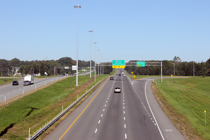
Trois-Rivières |
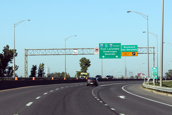
Westerly view approaching the southern Autoroute 55 interchange.
Vue en direction ouest à l'approche de l'échangeur de l'autoroute 55 sud. |
 |
||
|
Date: 12/7/2008 |
High-res: (1440x960) (2400x1600) | |||
|
Trois-Rivières |
Overhead diagram signage that outlines the Southern Autoroute 55 trumpet interchange.
Panneau à diagramme indiquant l'échangeur en trompette de l'autoroute 55 sud. |
 |
||
|
Date: 12/7/2008 |
High-res: (1440x960) (2400x1600) | |||
|
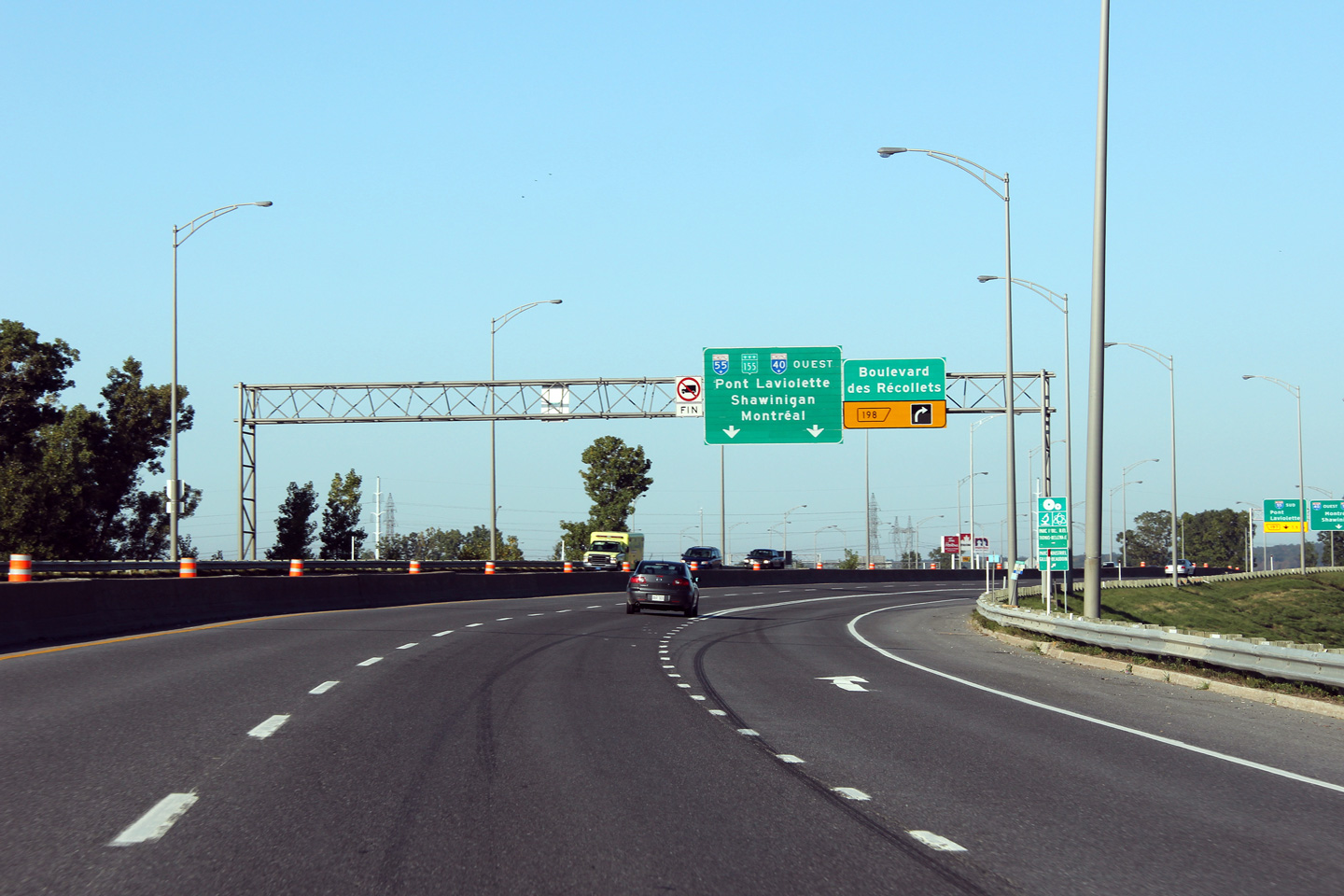
Trois-Rivières |
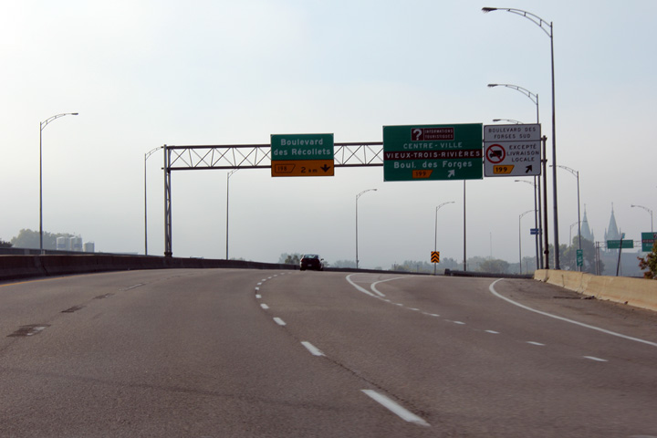
Westbound view at the exit to Boulevard des Récollets. The westbound carriageway narrows from three to two lanes at this interchange.
Vue en direction ouest à la sortie vers le boul. des Récollets. La chaussée en direction ouest se rétrécit à deux voies à cet échangeur. |
 |
||
|
Date: 12/7/2008 |
High-res: (1440x960) (2400x1600) | |||
|
Trois-Rivières |
Westbound advanced signage for the exit to Boulevard des Récollets.
Signalisation avancée pour la sortie vers le boul. des Récollets. |
 |
||
|
Date: 12/7/2008 |
High-res: (1440x960) (2400x1600) | |||
|
Trois-Rivières |
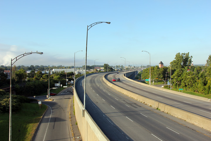
View towards the west from the Rue des Forges overpass.
Vue en direction ouest depuis le pont d'étagement de la rue des Forges. |
 |
||
|
Date: 12/7/2008 |
High-res: (1440x960) (2400x1600) | |||
|
Trois-Rivières |
Easterly view of Autoroute 40, this time looking east.
Cette fois, il s’agit de l’A-40, mais en direction est |
 |
||
|
Date: 12/7/2008 |
High-res: (1440x960) (2400x1600) | |||
|
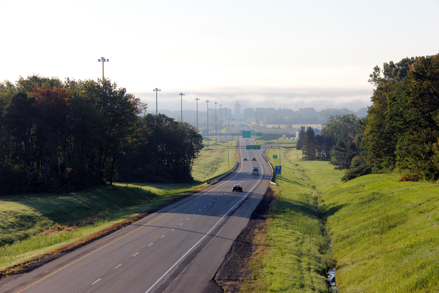
Trois-Rivières |
The exit to Boul. des Forges and Downtown Trois-Rivières was enshrouded in a dense fog when this photo was taken.
La sortie vers le boul. des Forges et le centre-ville de Trois-Rivières était enveloppée dans le brouillard quand cette photo a été prise. |
 |
||
|
Date: 12/7/2008 |
High-res: (1440x960) | |||
|
Trois-Rivières |
View looking west at the exit to Boul. des Chenaux. The exit to Boul. des Chenaux is situated immediately to the west of Pont Radisson, which crosses the Saint-Maurice River.
Vue en direction ouest à la sortie vers le boul. des Chenaux. La sortie vers le boul. des Chenaux est située immédiatement au ouest du pont Radisson, qui travée la rivière Saint-Maurice. |
 |
||
|
Date: 12/7/2008 |
High-res: (1440x960) (2400x1600) | |||
|
Trois-Rivières |
Overhead signage that spans the entire freeway for the Boulevard Estacades exit. Beyond Boulevard Estacades, Autoroute 40 grows to become a six-lane freeway.
Signalisation aérienne pour la sortie vers le boul. Estacades qui s'étend sur les deux chaussées de l'autoroute 40. Au ouest du boul. Estacades, l'autoroute 40 s'élargit devenir une autoroute à six voies. |
 |
||
|
Date: 12/7/2008 |
High-res: (1440x960) (2400x1600) | |||
|
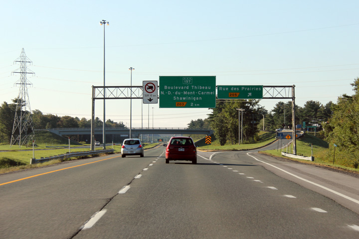
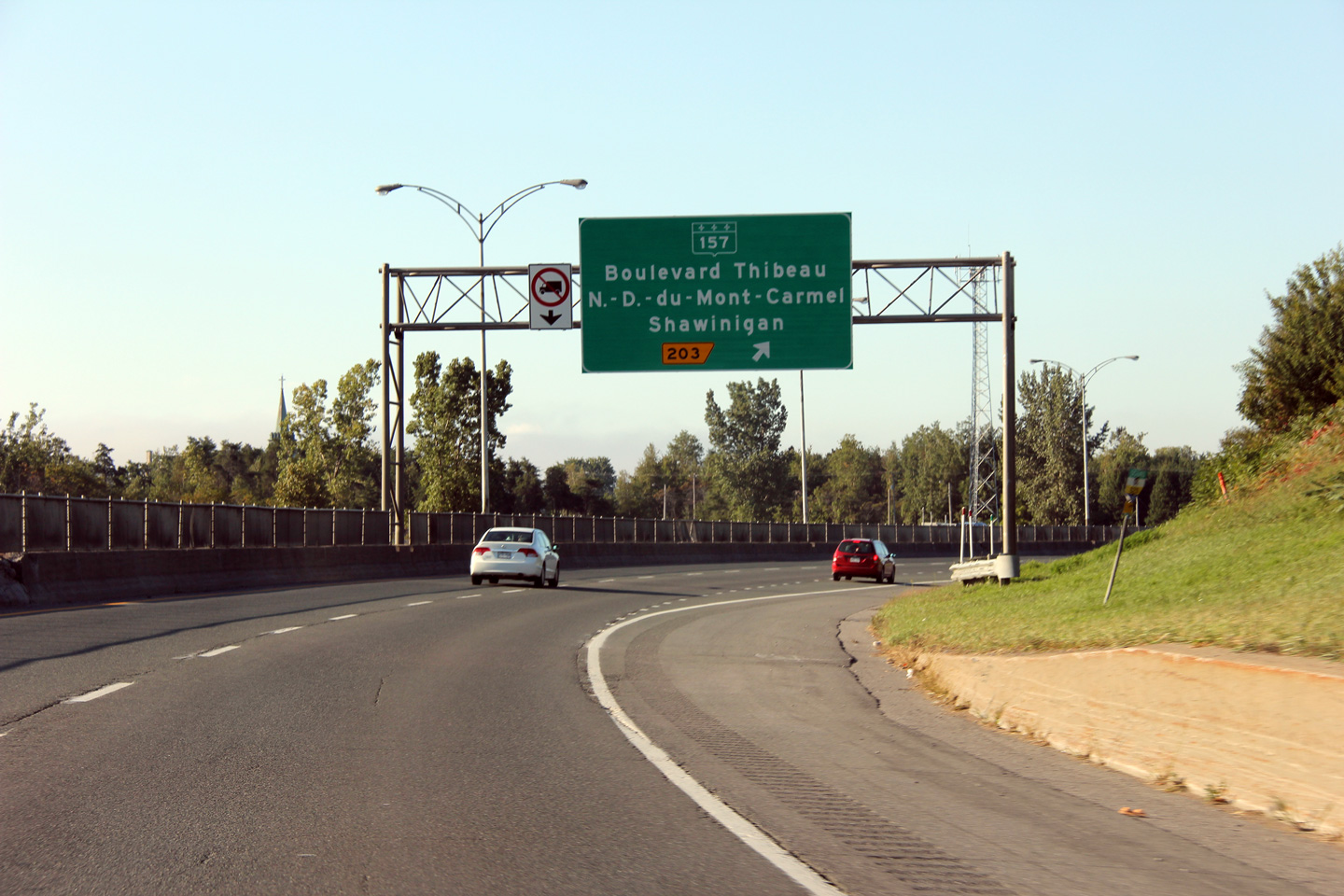
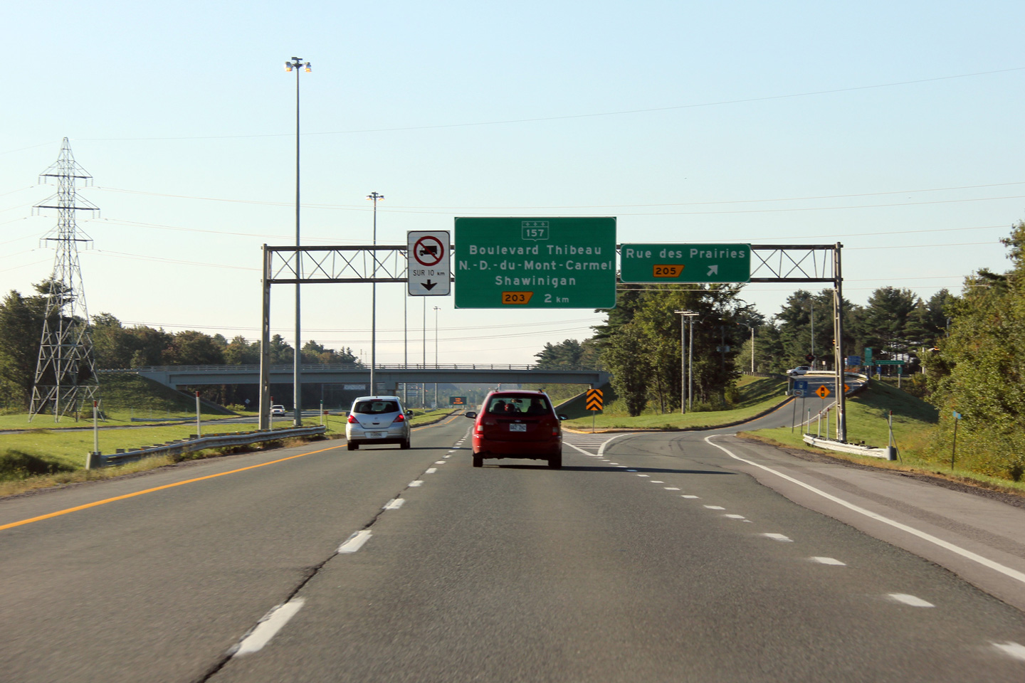
Trois-Rivières |
Easterly view at the Highway 157 exit. Highway 157 is a relatively efficient four-lane highway leading northerly from Trois-Rivières bound for Shawinigan.
Vue en direction est à la sorite vers la route 157. La route 157 est une route relativement efficace à quatre voies menant au nord de Trois-Rivières vers Shawinigan. |
 |
||
|
Date: 12/7/2008 |
High-res: (1440x960) (2400x1600) | |||
|
Trois-Rivières |
Advanced signage for the exit to Highway 157.
Signalisation avancée pour la sortie vers la route 157. |
 |
||
|
Date: 12/7/2008 |
High-res: (1440x960) | |||
|
Trois-Rivières |
Easterly view at the Rue des Prairies exit.
Vue en direction est à la sorite vers la rue des Prairies. |
 |
||
|
Date: 12/7/2008 |
High-res: (1440x960) | |||
|
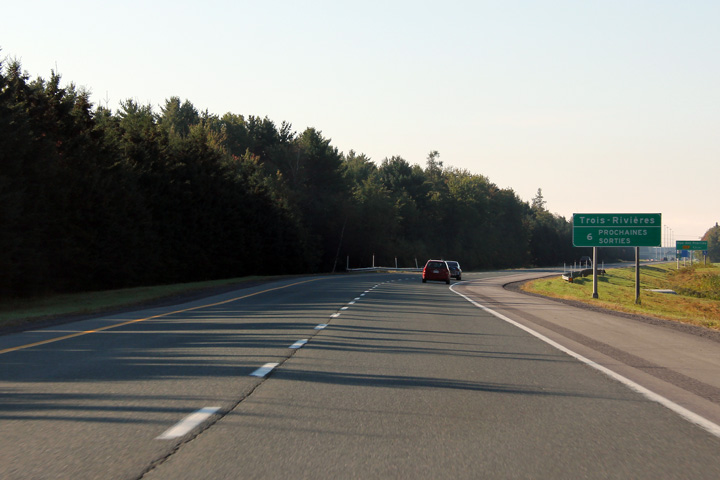
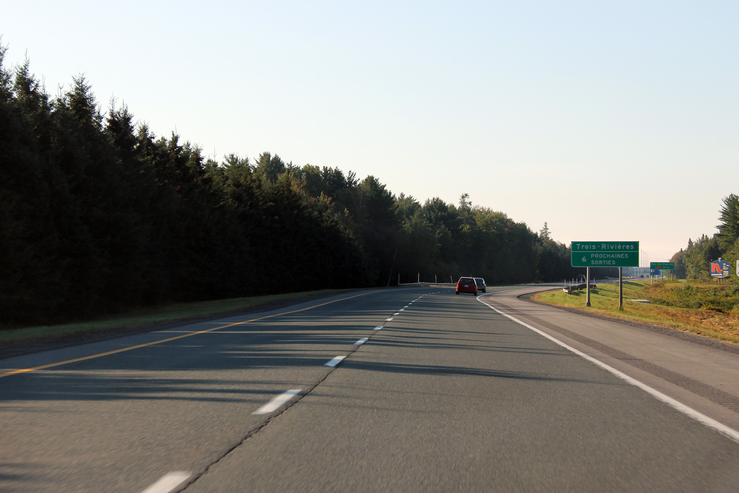
Trois-Rivières |
Next exit signage for the City of Trois-Rivières located on Autoroute 40.
Signalisation en direction ouest annonçant que les cinq prochaines sorties sont destinées pour Trois-Rivières. |
 |
||
|
Date: 12/7/2008 |
High-res: (1440x960) (2400x1600) | |||
<- Page 4 Back to Autoroute 40 Index Page 6 ->
© 2006-2012 AsphaltPlanet.ca.
AsphaltPlanet@asphaltplanet.ca
Page Created: February 26th, 2012.
Last Updated: February 26th, 2012.