|
|
|
|
|
|
West-
Bound
|
|
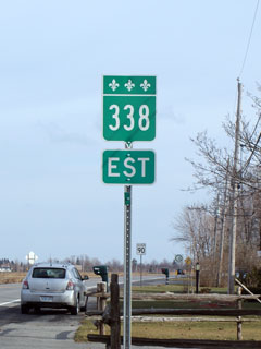
Route 338 ends at the Ontario border. Route 338 continues west
into Ontario as the former Highway 2. Click here for Ontario's
Highway 2 images.
|
|
MRC de Vaudreuil-Soulanges
Riviere Beaudette
|
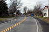
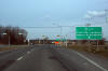
 The
Ontario border as seen from Route 338. The
Ontario border as seen from Route 338. |
High-res |
|
Photographed by: AsphaltPlanet.ca |
Date: 12/7/2008 |
|
MRC de Vaudreuil-Soulanges
Riviere Beaudette
|
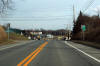
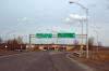
View
looking southerly towards the R-132 intersection. I always find it
interesting that Quebec doesn't use 'Vers' tabs to separate trailblazers
from reassurance markers. |
High-res |
|
Photographed by: AsphaltPlanet.ca |
Date: 12/7/2008 |
|
MRC de Vaudreuil-Soulanges
Riviere Beaudette
|
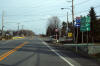
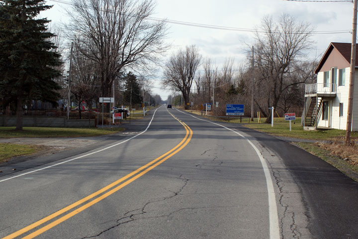
Eastbound
view of the Route 338/Route 325 junction. Route 325 is the western
most interchange found on Autoroute 20. |
High-res |
|
Photographed by: AsphaltPlanet.ca |
Date: 12/7/2008 |
|
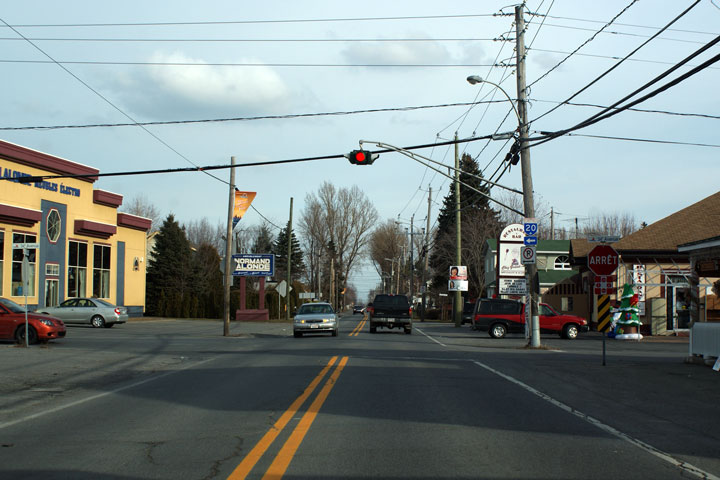
MRC de Vaudreuil-Soulanges
Sainte-Zotique
|
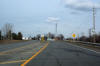
Four-way
stop controlled intersection with 34e Avenue in Sainte-Zotique. I
really like Quebec's four-way stop signage treatment. |

High-res |
|
Photographed by: AsphaltPlanet.ca |
Date: 12/7/2008 |
|
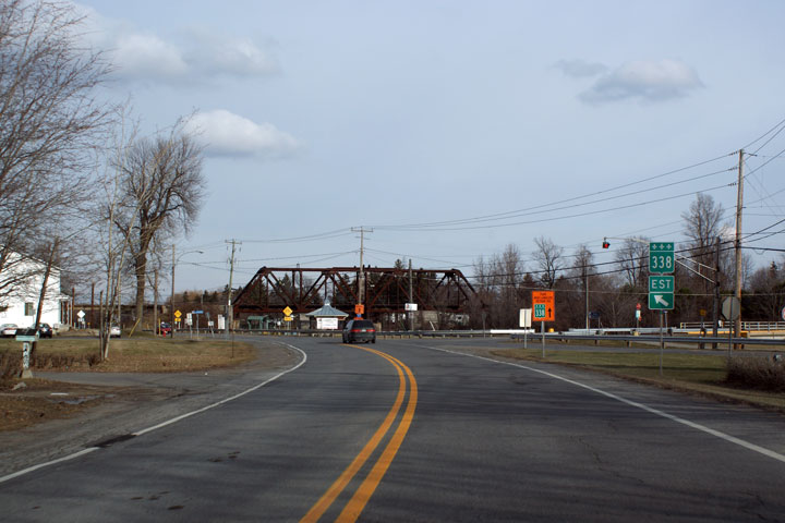
MRC de Vaudreuil-Soulanges
Coteau-du-Lac
|
R-338
curves northeasterly as Lake Saint Francis narrows back into the Saint
Lawrence River.. |

High-res |
|
Photographed by: AsphaltPlanet.ca |
Date: 12/7/2008 |
|
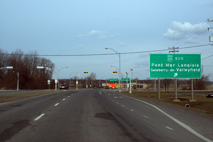
MRC de Vaudreuil-Soulanges
Coteau-du-Lac
|
R-338
widens to a four-lane highway where it meets R-201 at an interchange. |
High-res |
|
Photographed by: AsphaltPlanet.ca |
Date: 12/7/2008 |
|
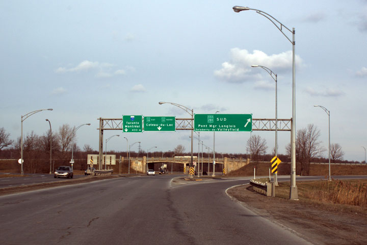
MRC de Vaudreuil-Soulanges
Coteau-du-Lac
|
This
sign is slightly misleading. The Ramp to R-201 south departs after
this signalized intersection. |
High-res |
|
Photographed by: AsphaltPlanet.ca |
Date: 12/7/2008 |
|
MRC de Vaudreuil-Soulanges
Coteau-du-Lac
|
Overhead
guides signage for R-201. Note the age of the R-201 overpass in
the distance. |
High-res |
|
Photographed by: AsphaltPlanet.ca |
Date: 12/7/2008 |


