AsphaltPlanet.ca > Texas > Interstate 10
|
Western Entrance: New Mexico State Line where I-10 runs
concurrent with US-85 and US-180.
Eastern Entrance: Louisiana State Line east of Beaumont, Texas. Length in TX: 878.6 Miles (1,414 km). Links:
|
Pictures on this page are arranged in order from west to east. I-10 East photos are left-aligned in the last column, while I-10 west photos are right-aligned. Center-line pictures are centered within the last column.
|
Location |
Description |
Photo |
||
|
East- |
West- |
|||
|
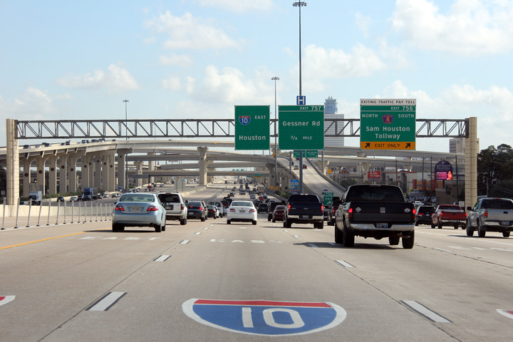
Harris County Houston |
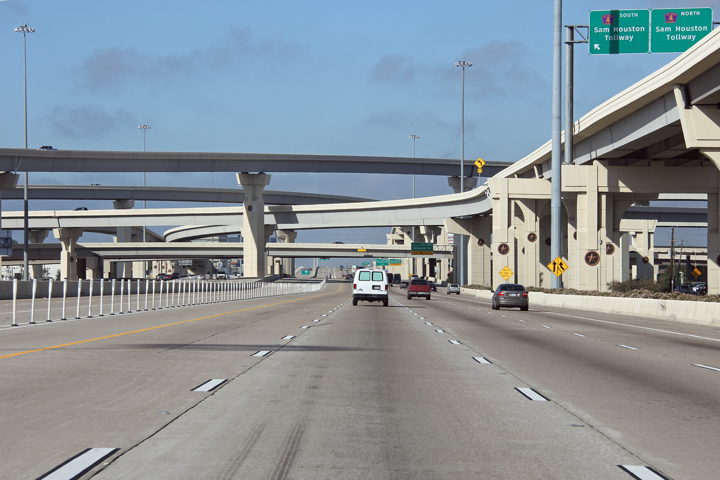
View looking easterly approaching the stack interchange with the Sam Houston Tollway. |
 |
||
|
Date: 11/1/2012 |
High-res: (1440x960) (2400x1600) | |||
|
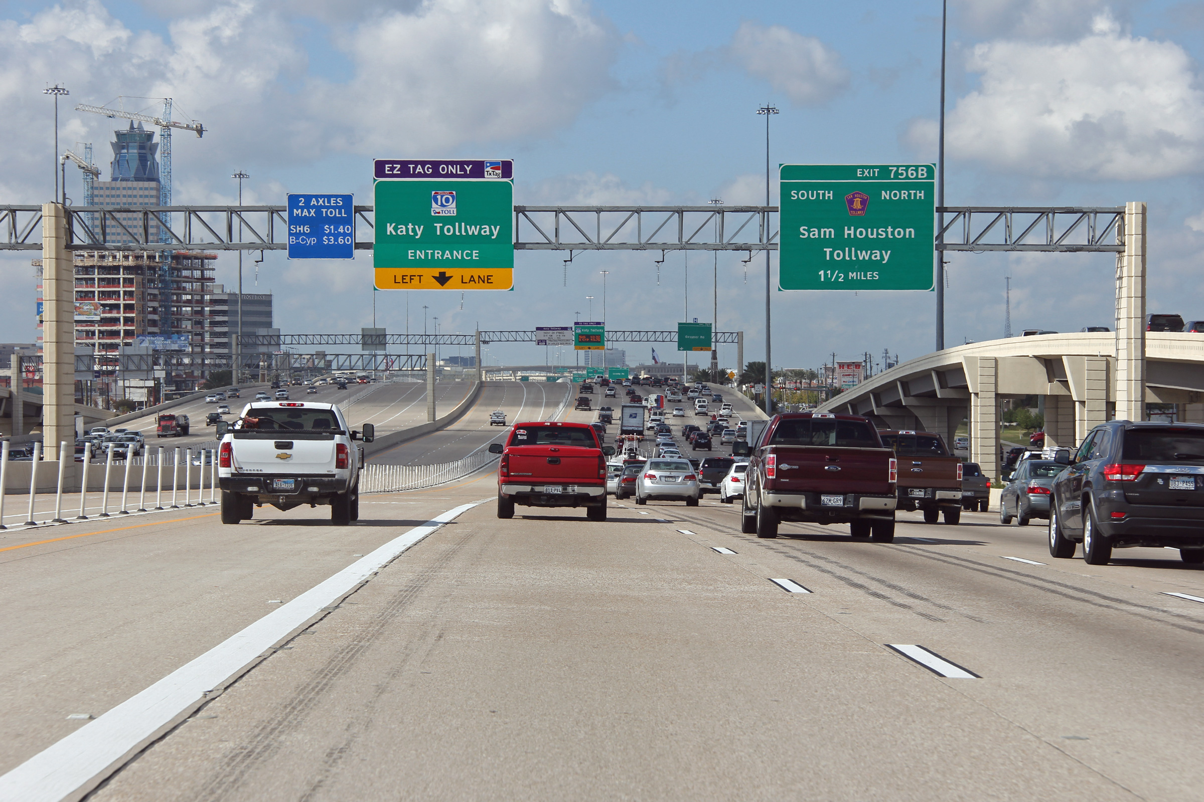
Harris County Houston |
This view looks westerly at the four level Sam Houston Tollway interchange. It is typical of modern stack interchanges of Texas to have decorative elements included in their design such as the distinctive lone star that has been included in every pier. |
 |
||
|
Date: 11/1/2012 |
High-res: (1440x960) (2400x1600) | |||
|
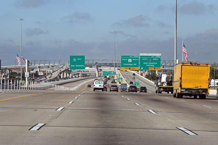
Harris County Houston |
This view looks westerly at the ramp to Beltway 8, which serves as the frontage road to the Sam Houston Tollway. The off-ramp Beltway 8 passes underneath of the off-ramp to the Sam Houston Tollway. |
 |
||
|
Date: 11/1/2012 |
High-res: (1440x960) (2400x1600) | |||
|
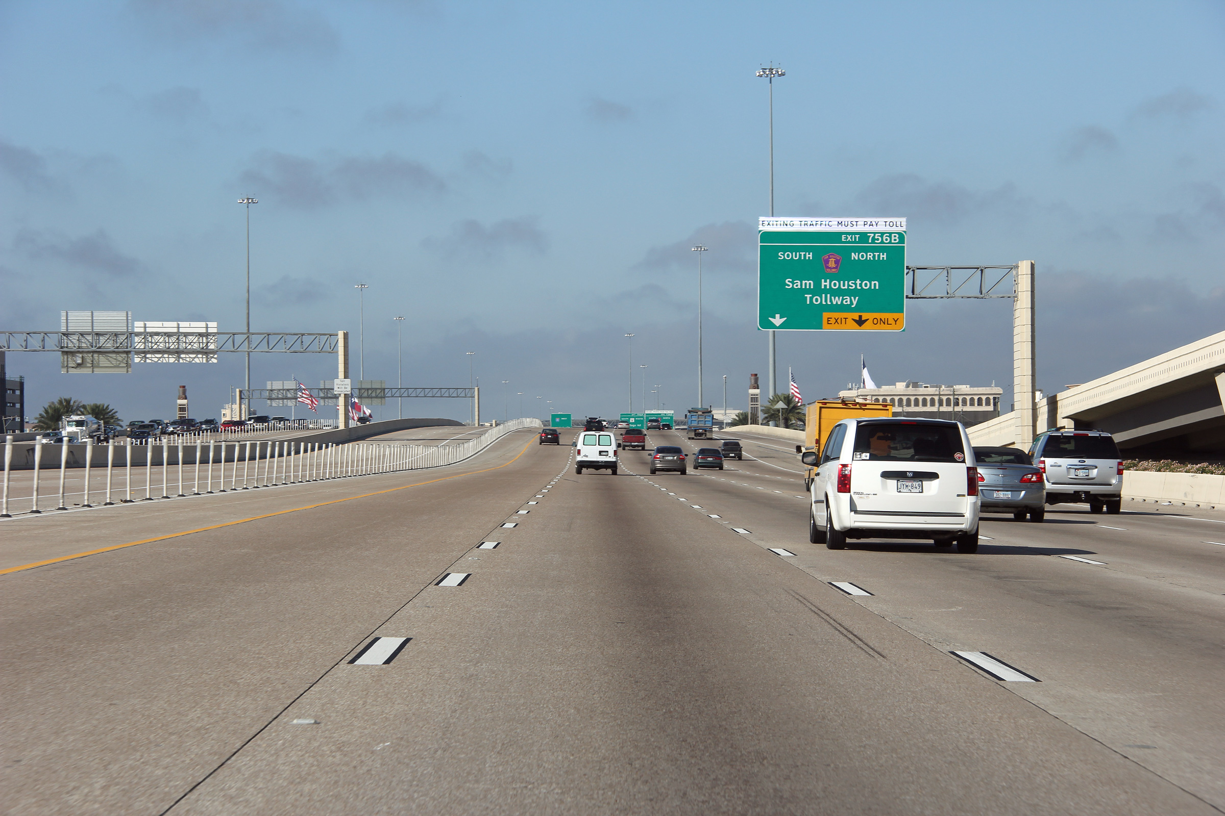
Harris County Houston |
Westerly view approaching the interchange with the Sam Houston Tollway. |
 |
||
|
Date: 11/1/2012 |
High-res: (1440x960) (2400x1600) | |||
|
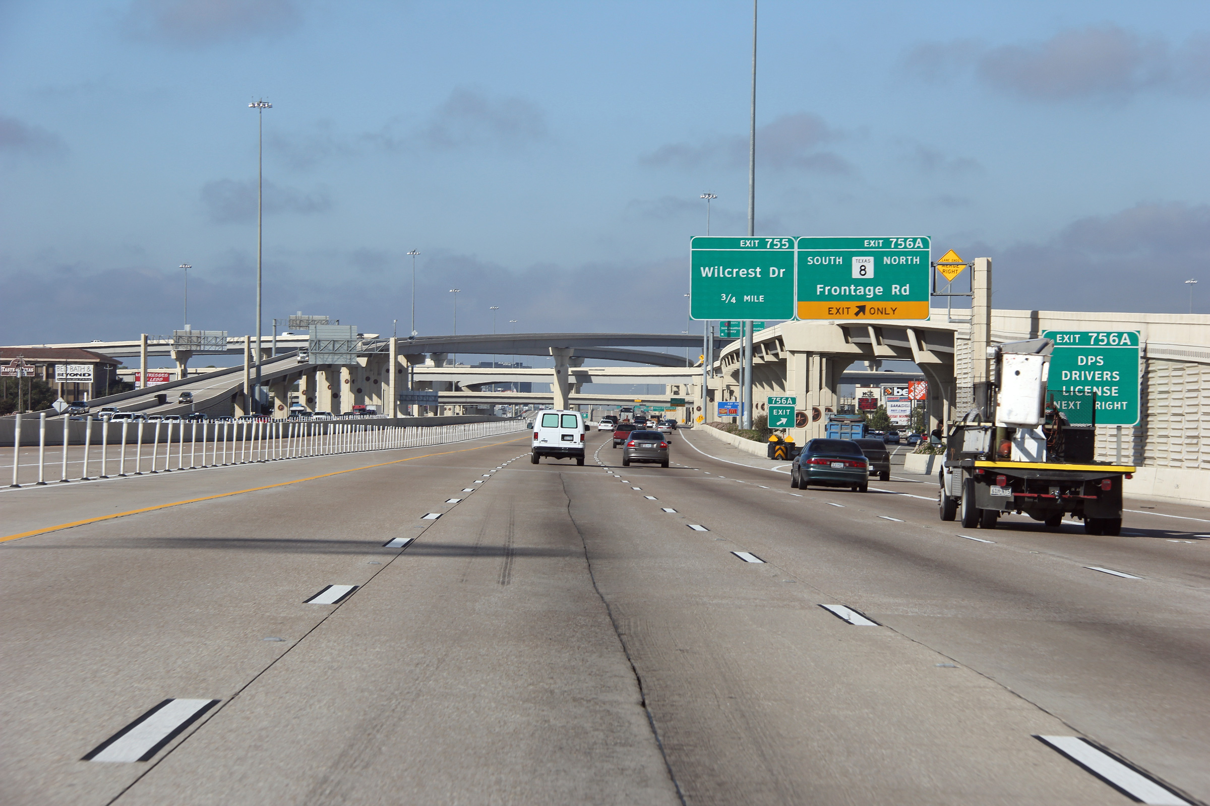
Harris County Houston |
Advanced signage for the Sam Houston Tollway exit. |
 |
||
|
Date: 11/1/2012 |
High-res: (1440x960) (2400x1600) | |||
|
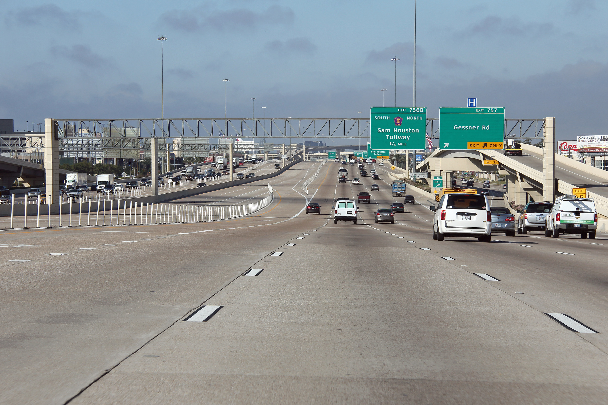
Harris County Houston |
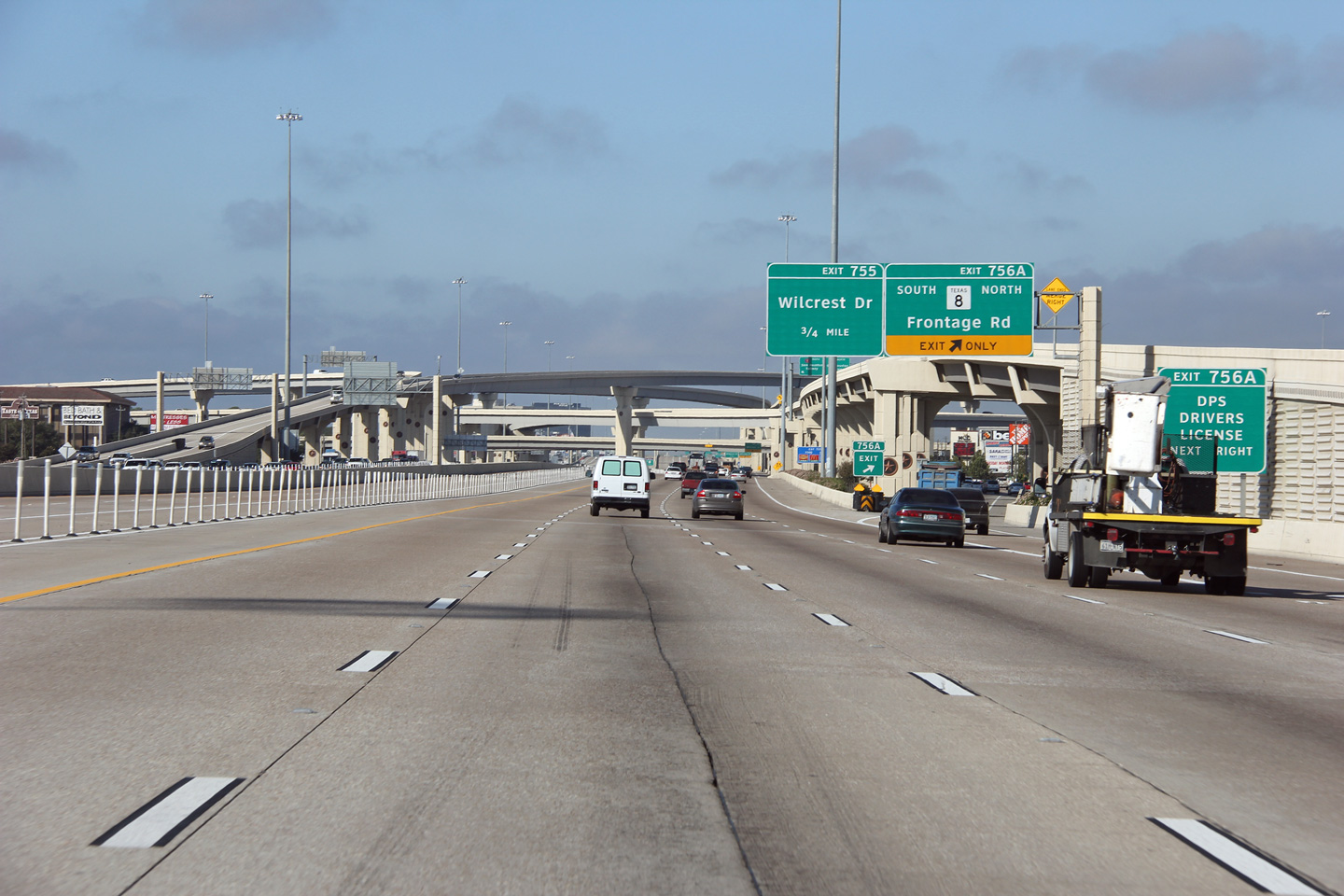
The two lane westbound off-ramp to Gessner Blvd passes underneath of the incoming on-ramp from the westbound frontage road. |
 |
||
|
Date: 11/1/2012 |
High-res: (1440x960) (2400x1600) | |||
|
Harris County Houston |
This view looks westerly west of the off-ramp to Bunker Hill Road. |
 |
||
|
Date: 11/1/2012 |
High-res: (1440x960) (2400x1600) | |||
|
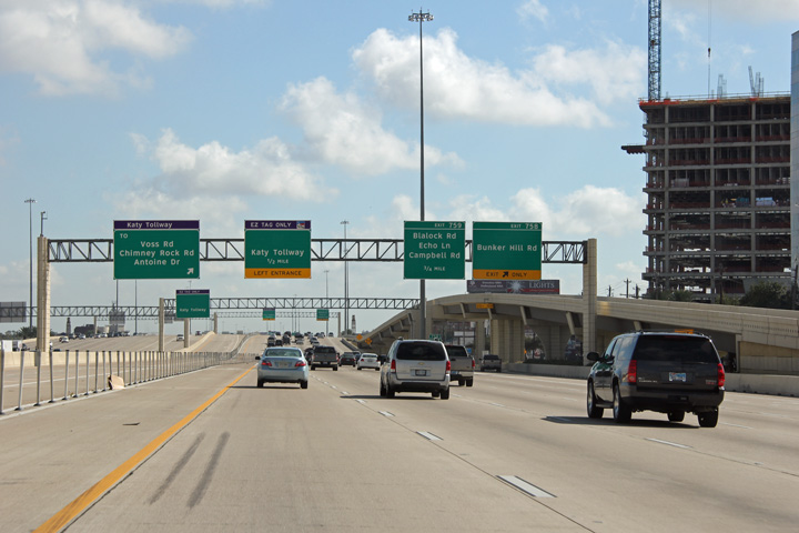
Harris County Houston |
This view looks easterly at the Bunker Hill Road off-ramp. |
 |
||
|
Date: 11/1/2012 |
High-res: (1440x960) (2400x1600) | |||
|
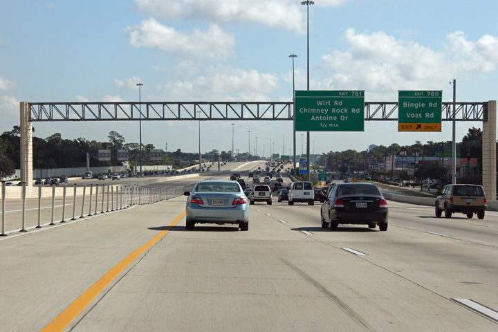
Harris County Houston - Hedwig Village Boundary |
Easterly view at Blalock Road. |
 |
||
|
Date: 11/1/2012 |
High-res: (1440x960) (2400x1600) | |||
|
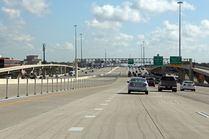
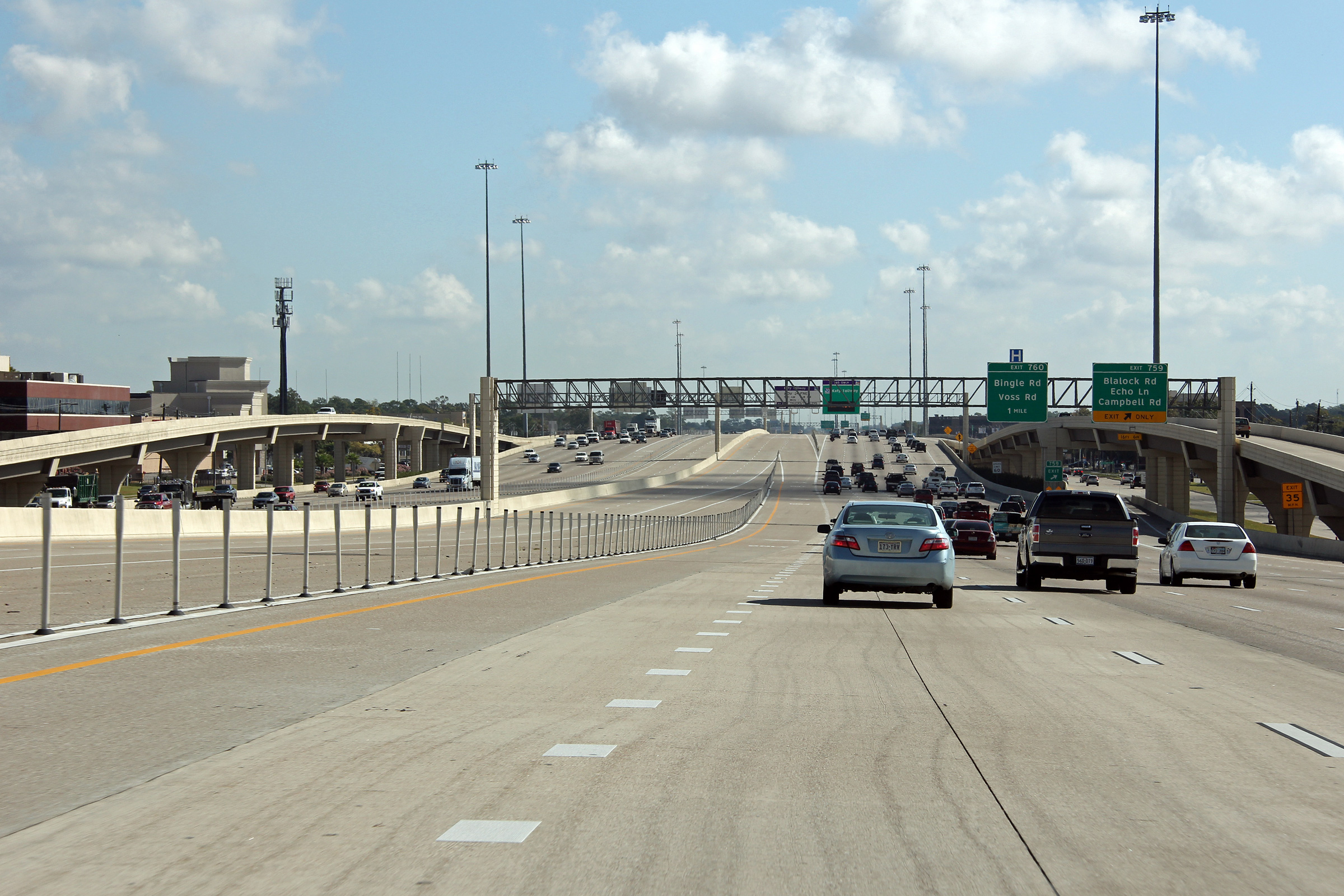
Harris County Hedwig Village - Spring Valley Boundary |
Westerly view approaching the Campbell Road interchange. |
 |
||
|
Date: 11/1/2012 |
High-res: (1440x960) (2400x1600) | |||
|
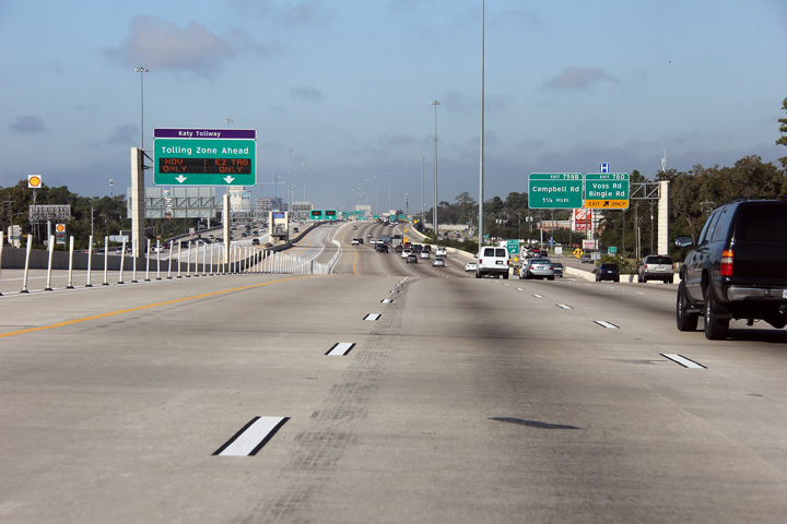
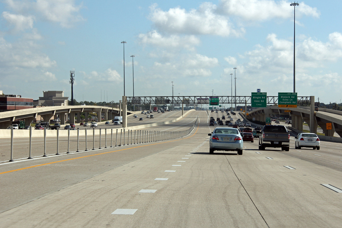
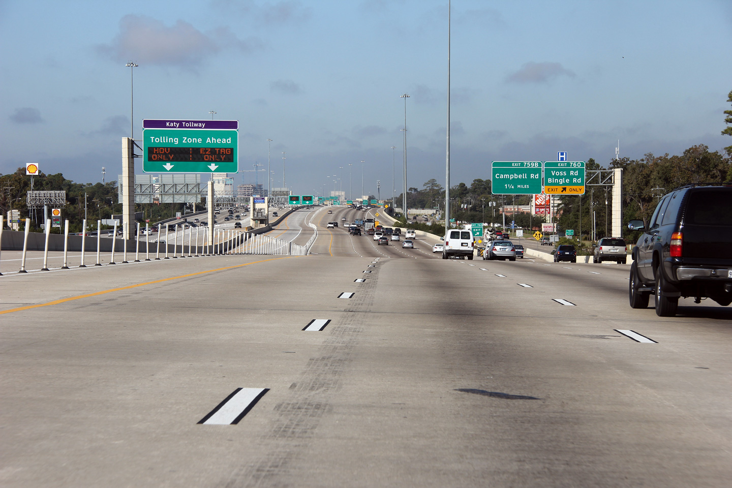
Harris County Hedwig Village - Spring Valley Boundary |
Easterly view at Bingle Road. |
 |
||
|
Date: 11/1/2012 |
High-res: (1440x960) (2400x1600) | |||
|
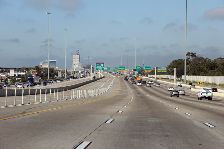
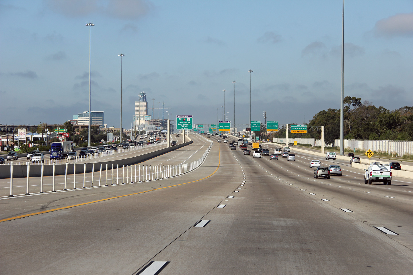
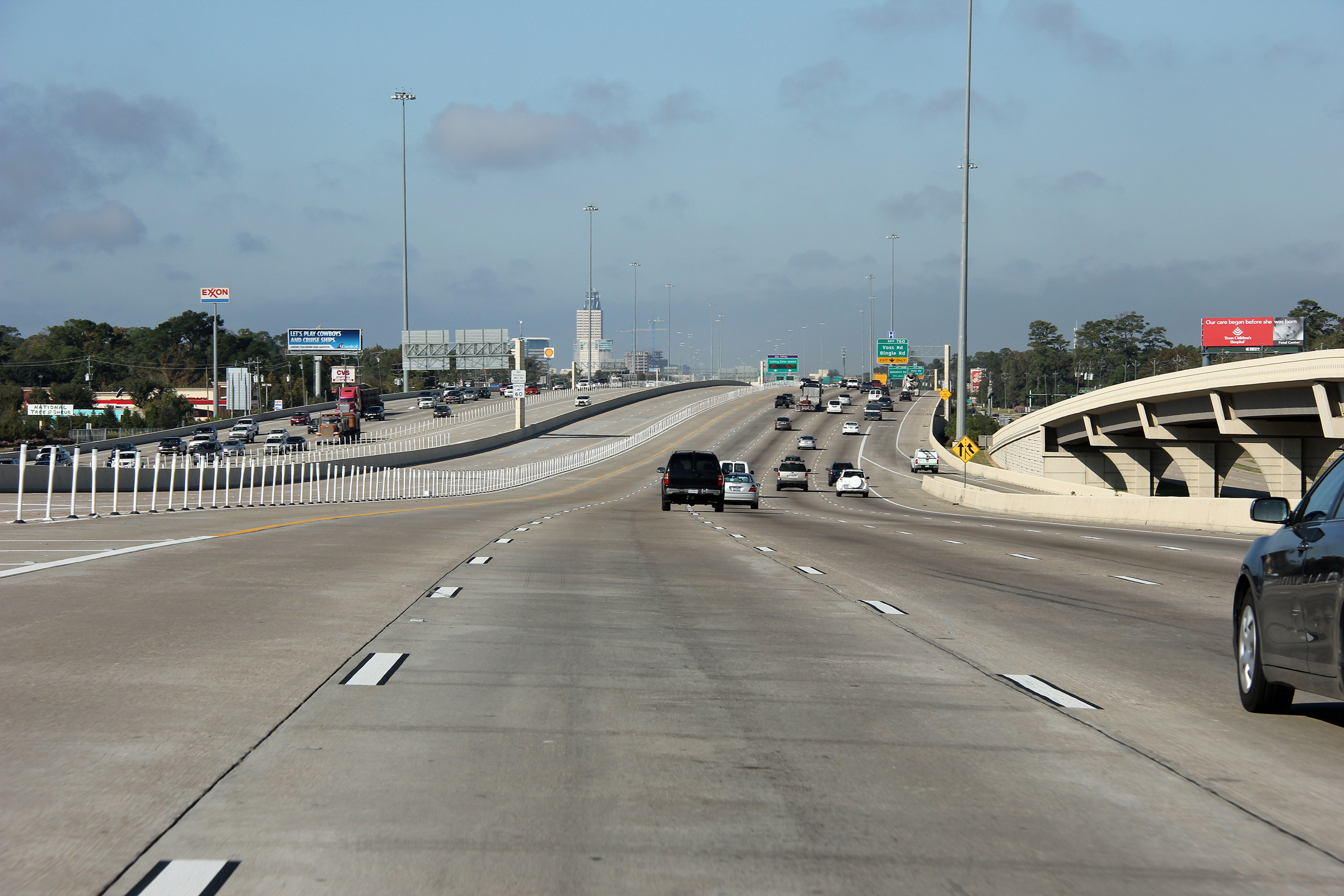
Harris County Hedwig Village - Spring Valley Boundary |
Westerly view along Interstate 10 approaching the Voss Road interchange. While the freeway runs generally straight between US-90 in Katy and I-610, it does meander in its course somewhat. |
 |
||
|
Date: 11/1/2012 |
High-res: (1440x960) (2400x1600) | |||
|
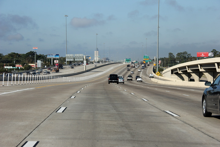
Harris County Houston |
Westerly view along the Kay Freeway (I-10) from just west of the Antoine Drive underpass. |
 |
||
|
Date: 11/1/2012 |
High-res: (1440x960) (2400x1600) | |||
|
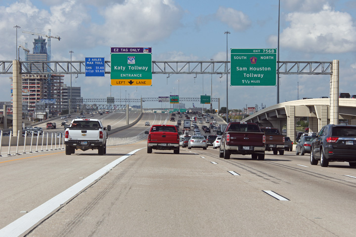
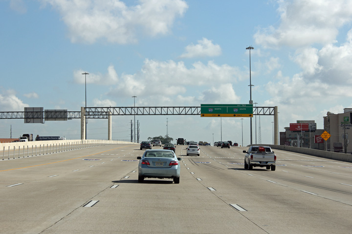
Harris County Houston |
The Katy Tollway ends to the west of I-610. |
|
||
|
Date: 11/1/2012 |
High-res: (1440x960) (2400x1600) | |||
|
Harris County Houston |
The four most right hand lanes are forced off of the Katy Freeway for Interstate 610. |
 |
||
|
Date: 11/1/2012 |
High-res: (1440x960) (2400x1600) | |||
|
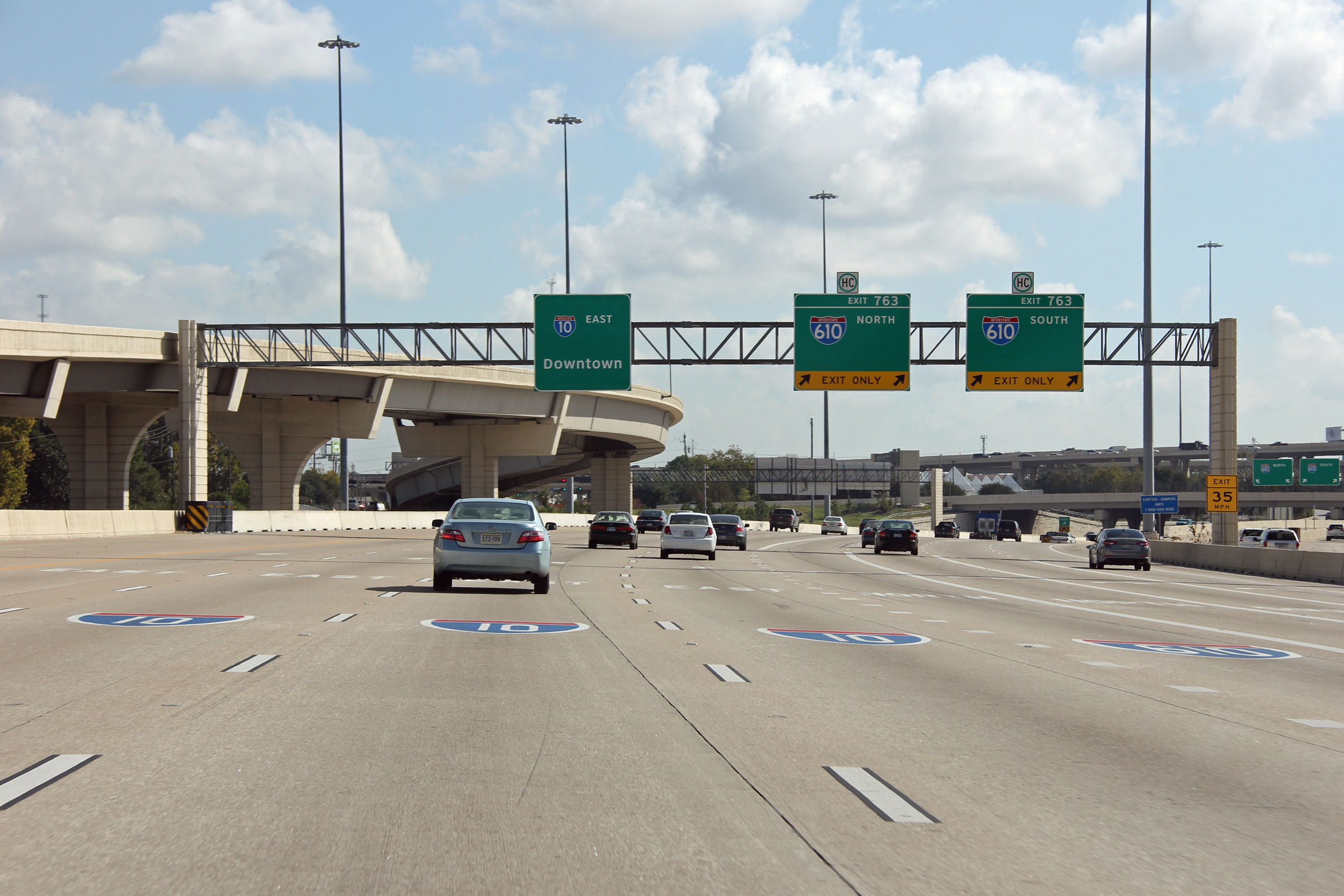
Harris County Houston |
Easterly view at the exit ramp to Interstate 610. Interstate 10 is considerable narrower to the east of I-610 than it is to the west. |

|
||
|
Date: 11/1/2012 |
High-res: (1440x960) (2400x1600) | |||
|
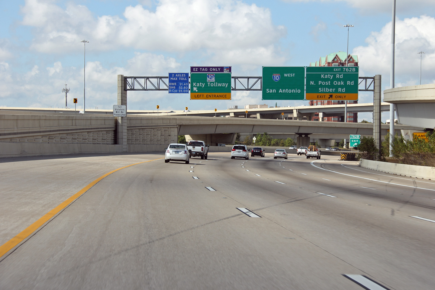
Harris County Houston |
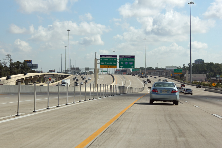
View looking westerly at the western Interstate 610 interchange. The Katy Tollway begins westerly at the I-610 interchange. |
 |
||
|
Date: 11/1/2012 |
High-res: (1440x960) (2400x1600) | |||
|
Harris County Houston |
Signage at the westbound off-ramp to Interstate 610. |
 |
||
|
Date: 11/1/2012 |
High-res: (1440x960) (2400x1600) | |||
|
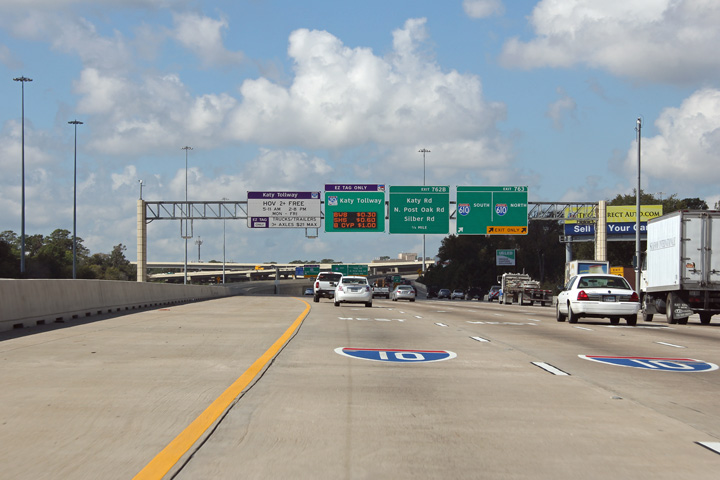
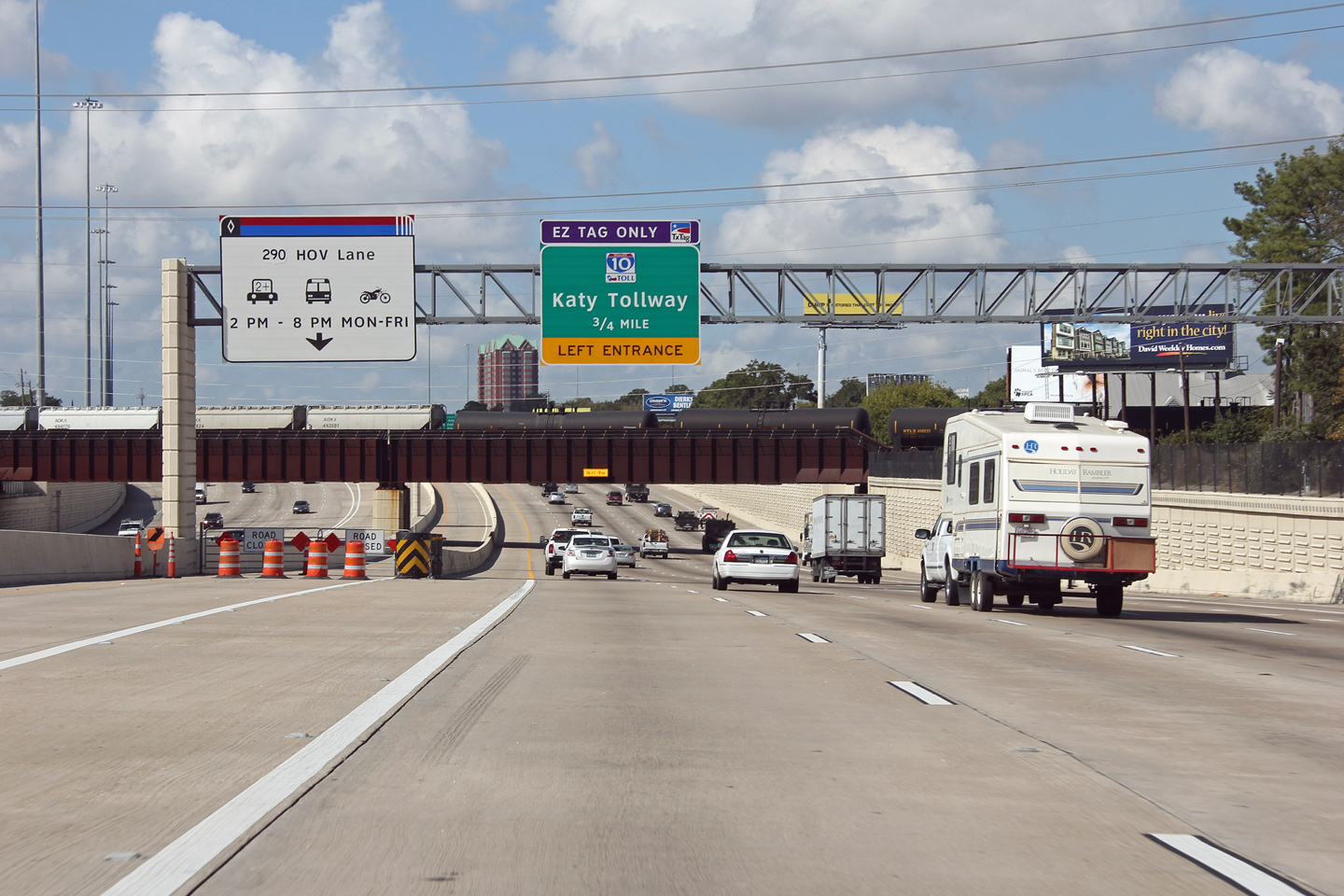
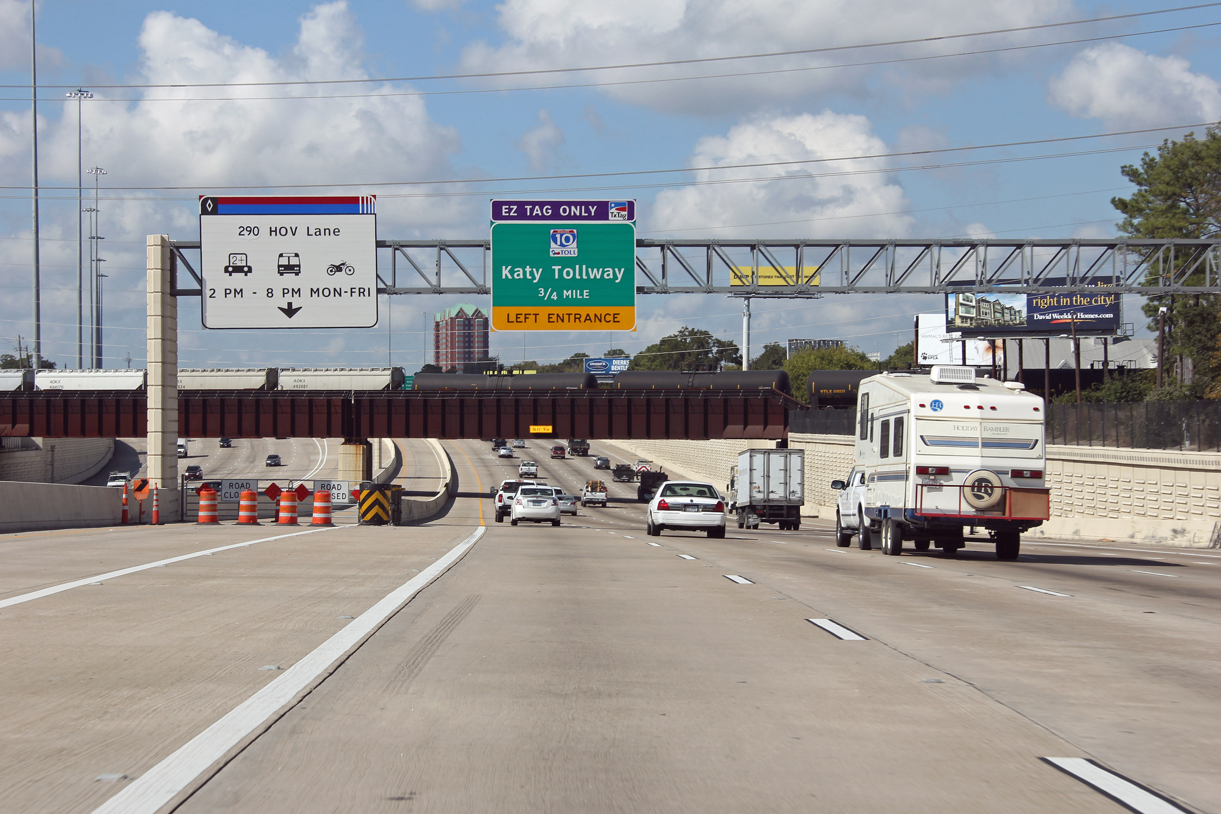
Harris County Houston |
Signage for the dedicated ramp to the HOV lanes along the US-290 expressway. US-290 carries traffic northwesterly from Interstate 610 and Downtown Houston beginning only a couple of miles north of the I-10 interchange. |
 |
||
|
Date: 11/1/2012 |
High-res: (1440x960) (2400x1600) | |||
|
Harris County Houston |
Advanced signage for the Interstate 610 interchange. |
 |
||
|
Date: 11/1/2012 |
High-res: (1440x960) (2400x1600) | |||
|
Harris County Houston |
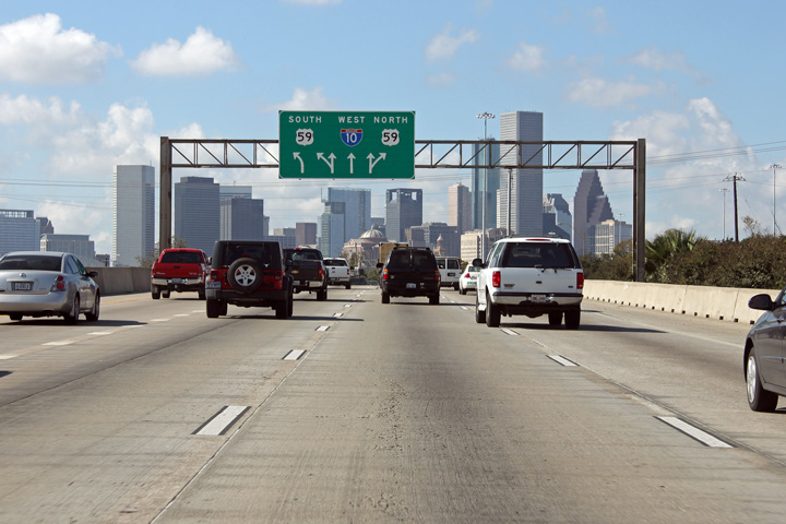
Eastbound signage approaching the US-59 interchange along I-10. These lane assignment signs are used in lieu of diagram signs, and in my opinion are quite effective. |
 |
||
|
Date: 11/1/2012 |
High-res: (1440x960) (2400x1600) | |||
<- US-80 TX Highways
I-20 ->
AsphaltPlanet.ca
© 2006-2012 AsphaltPlanet.ca.
AsphaltPlanet@asphaltplanet.ca
Page Created: November 9, 2012.
Last Updated: November 9, 2012.