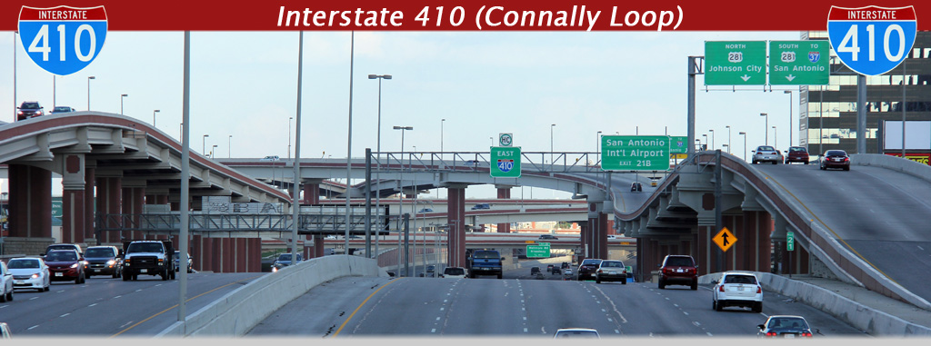
AsphaltPlanet.ca > Texas > Interstate 410
Pictures on this page are arranged in order clockwise around the length of the Connally Loop. The zero marker is at I-35, the furthest southwest point along the loop. Clockwise oriented photos are left-aligned, while counter-clockwise photos appear right aligned in the photo column below. Center-line pictures are centered within the last column.
|
Location |
Description |
Photo |
||
|
Clock- |
Counter clock- |
|||
|
Bexar County Houston |
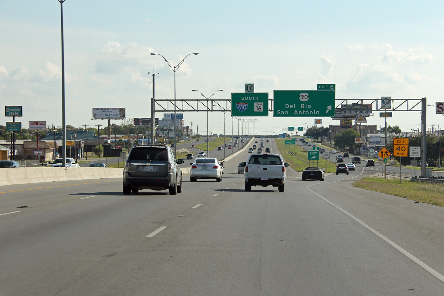
View looking southerly along I-410 towards the ramp to the frontage road for US-90. US-90 meets Interstate 410's frontage road at a cloverleaf interchange. Unlike many other Texas metropolitan areas, there are several cloverleaf interchanges in San Antonio. |
 |
||
|
Date: 11/4/2012 |
High-res: (1440x960) (2400x1600) | |||
|
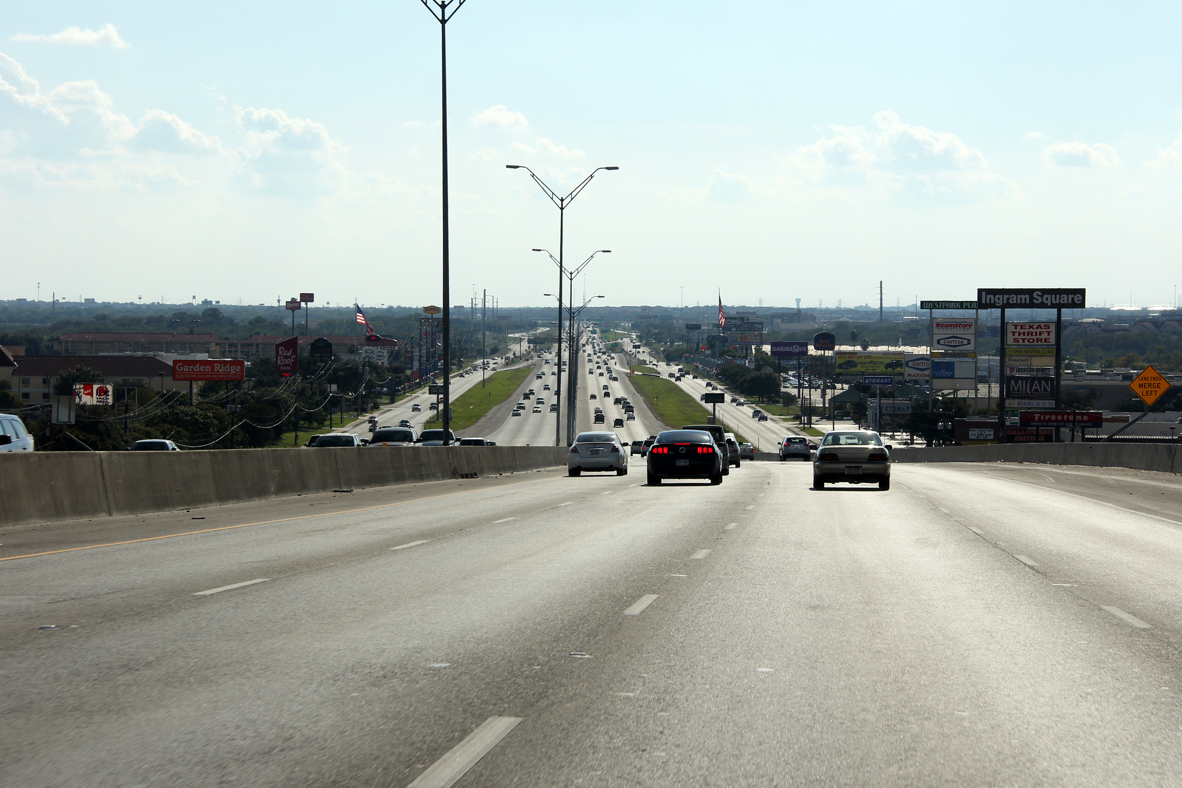
Bexar County San Antonio |
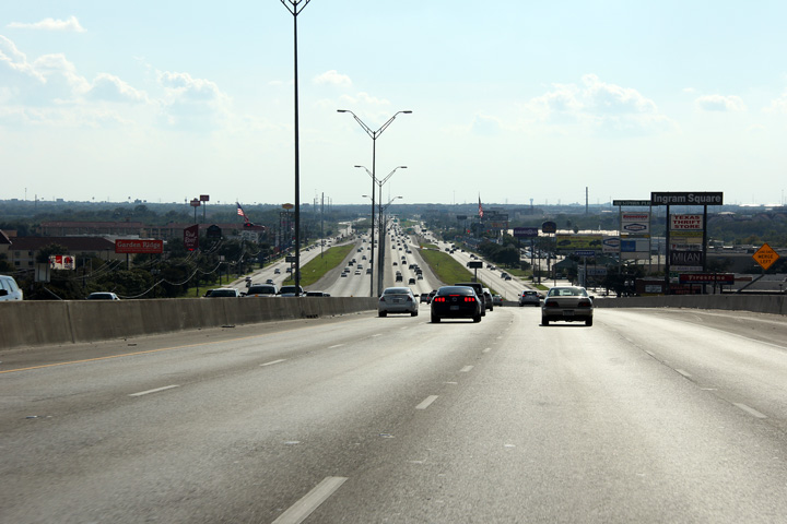
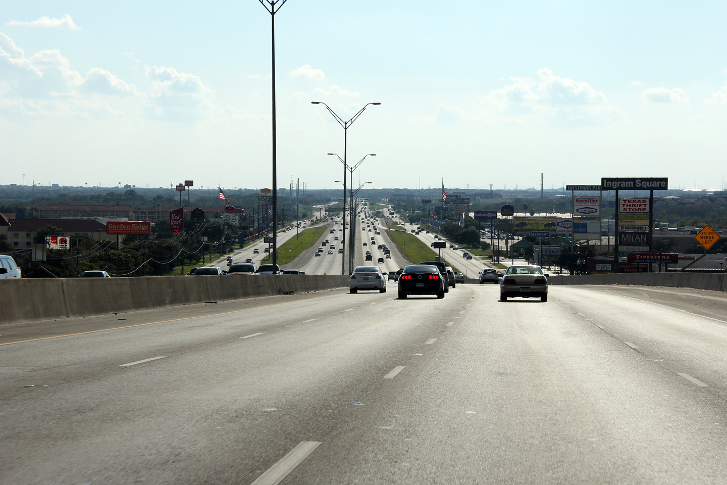
Southerly view descending a long hill between the Highway 16 and US-90 interchanges. |
 |
||
|
Date: 11/4/2012 |
High-res: (1440x960) (2400x1600) | |||
|
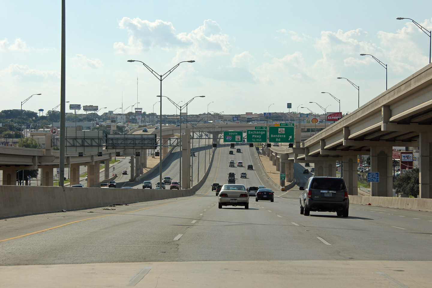
Bexar County San Antonio |
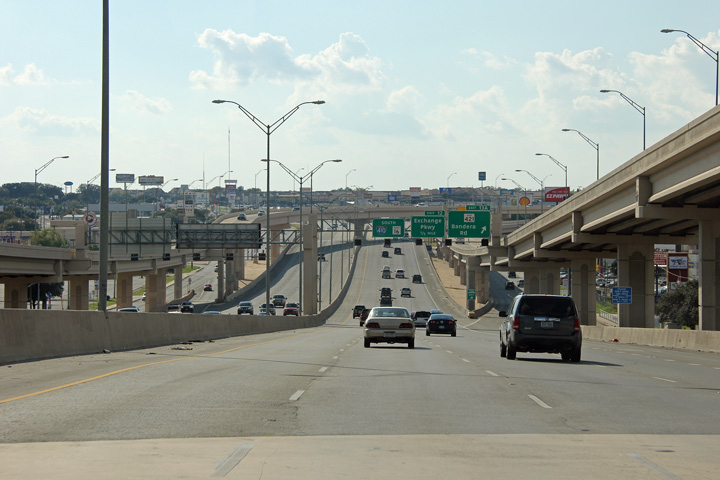
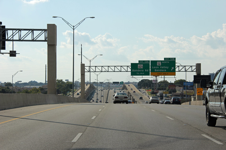
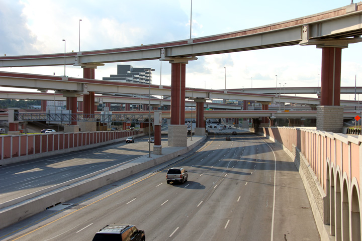
Signage at the southbound off-ramp to Spur 421. The elevated ramps that link Texas Highway 16 to I-410 dominate this photo. |
 |
||
|
Date: 11/4/2012 |
High-res: (1440x960) (2400x1600) | |||
|
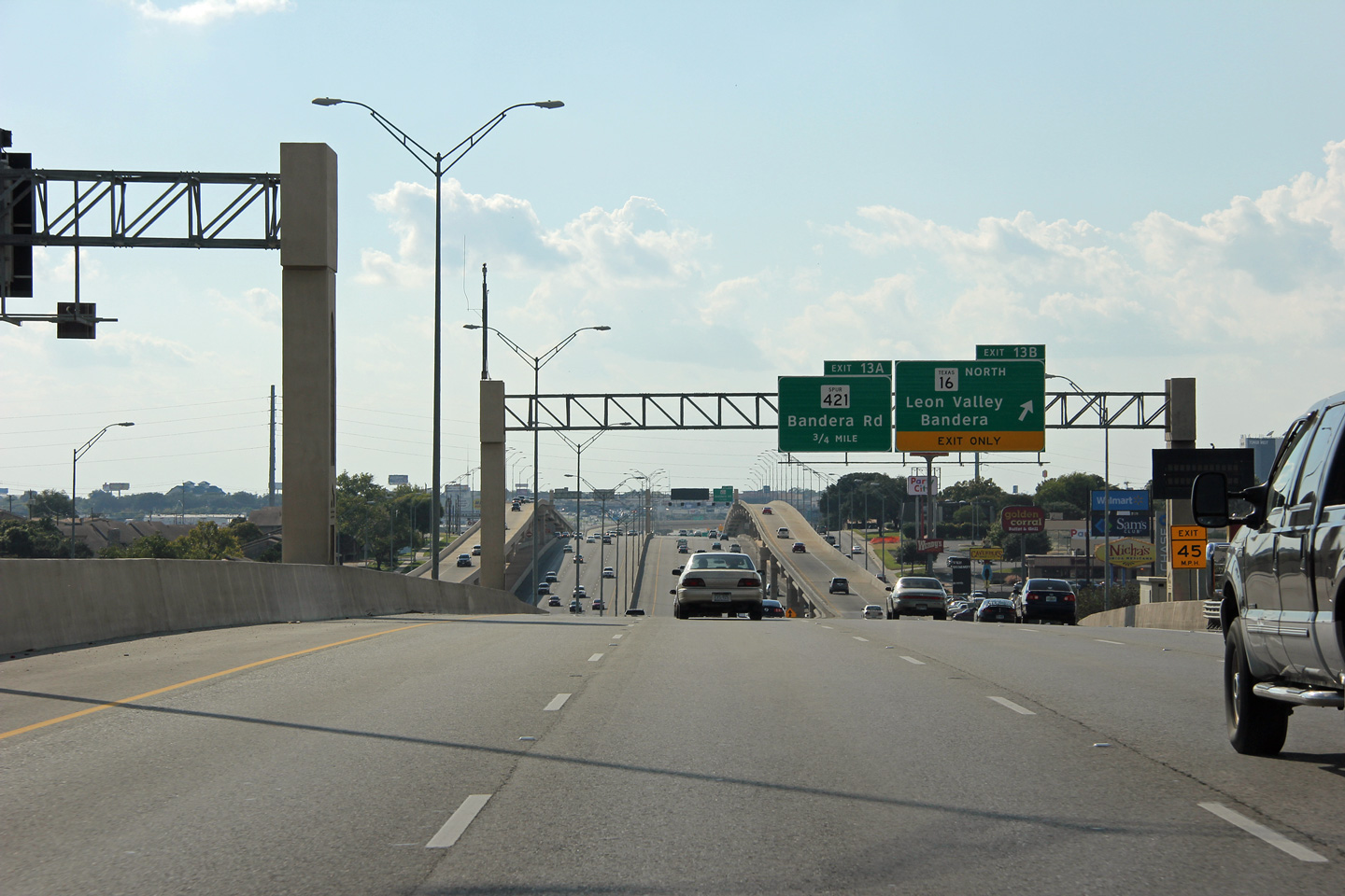
Bexar County San Antonio |
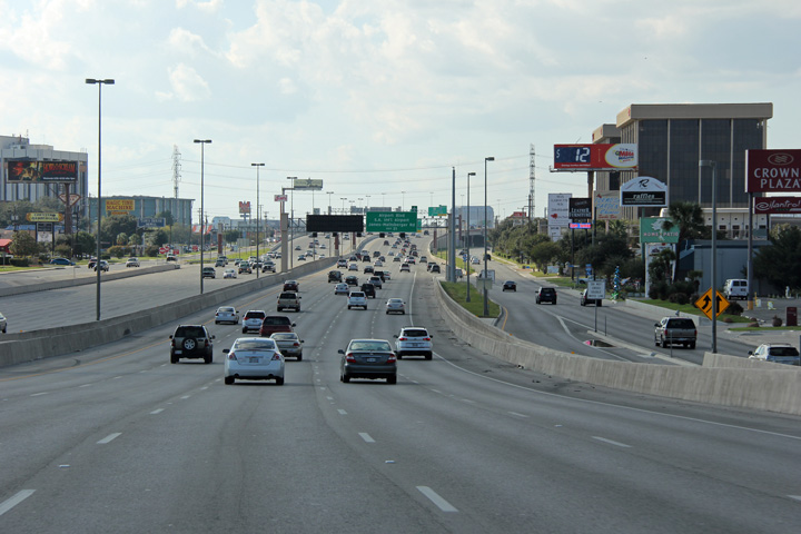
Westerly view at the ramp to Highway 16 North. The ramps between Highway 16 North and I-410 East run elevated between the mainline lanes of I-410 and the frontage road for nearly a mile. |
 |
||
|
Date: 11/4/2012 |
High-res: (1440x960) (2400x1600) | |||
|
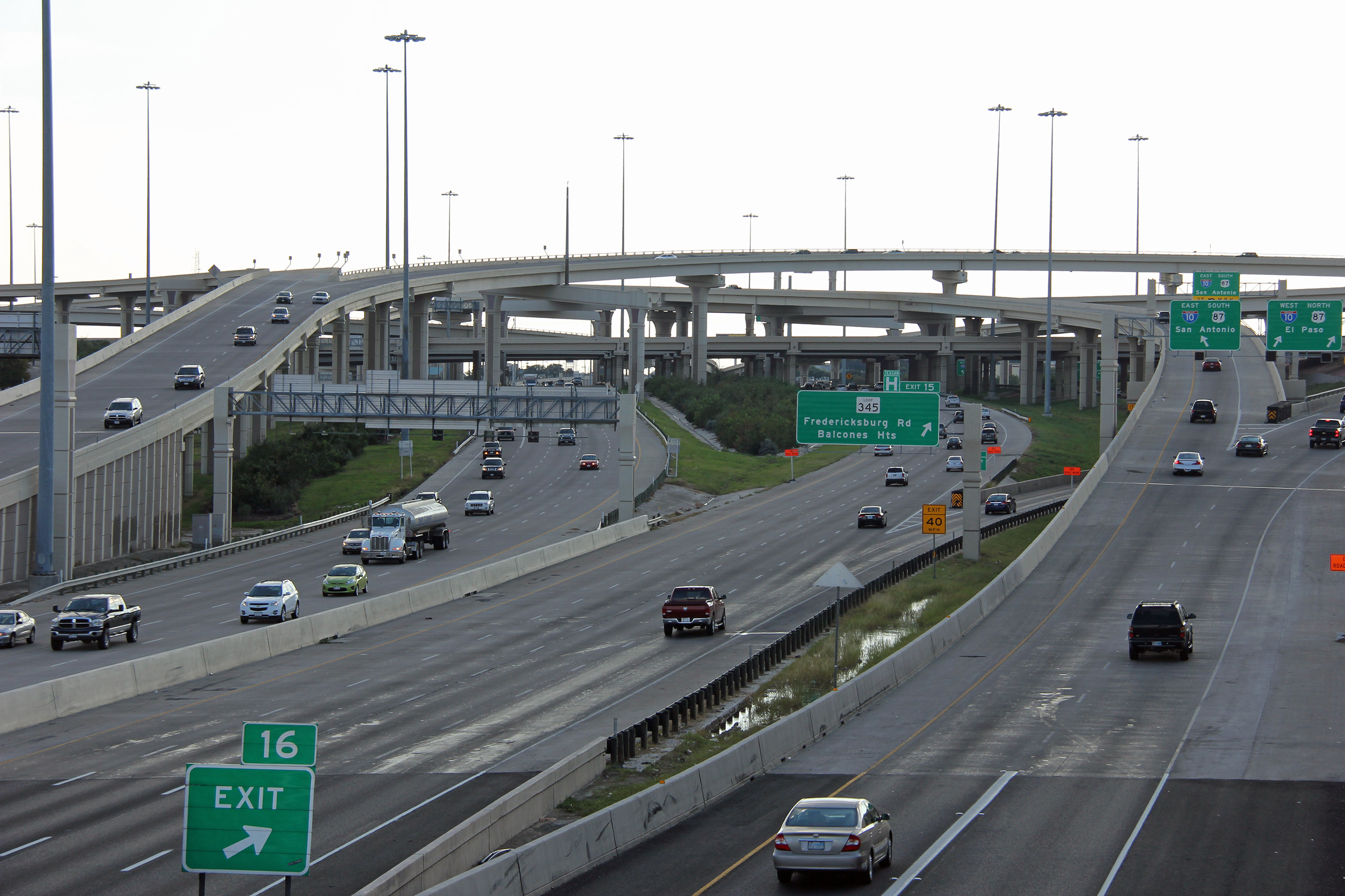
Bexar County San Antonio |
Westerly view from the Highway 345 overpass along I-410. |
 |
||
|
Date: 11/4/2012 |
High-res: (1440x960) (2400x1600) | |||
|
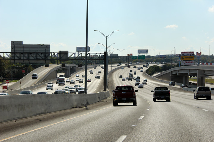
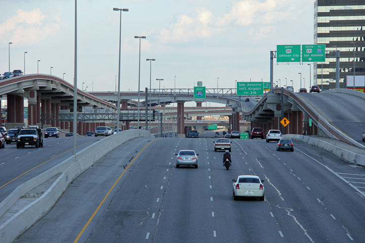
Bexar County San Antonio |
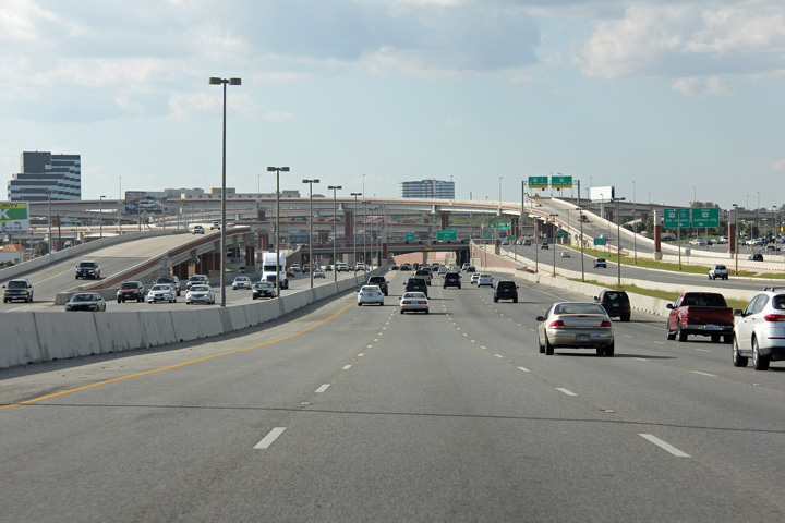
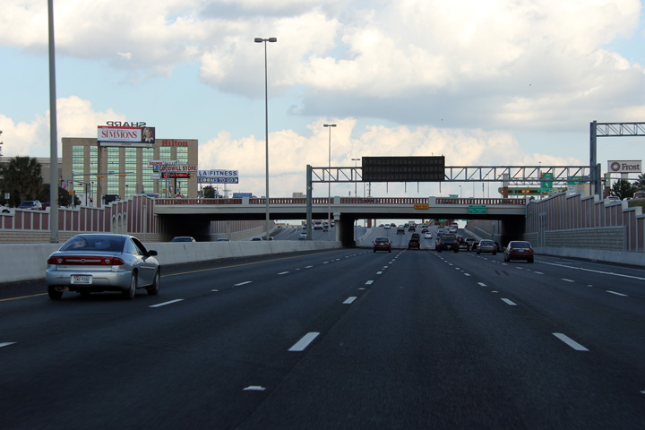
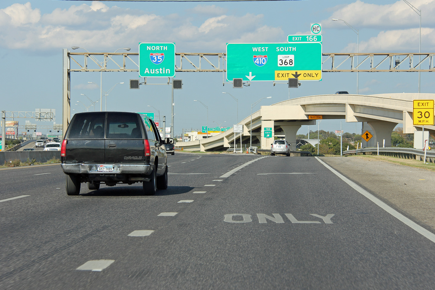
Two views looking easterly from Texas Highway 345 towards the massive interchange with Interstate 10. This interchange was constructed early in the 2000s and is one of the larger interchanges in the San Antonio Region. |
 |
||
| High-res: (1440x960) (2400x1600) | ||||
 |
||||
|
Date: 11/4/2012 |
High-res: (1440x960) (2400x1600) | |||
|
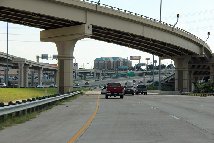
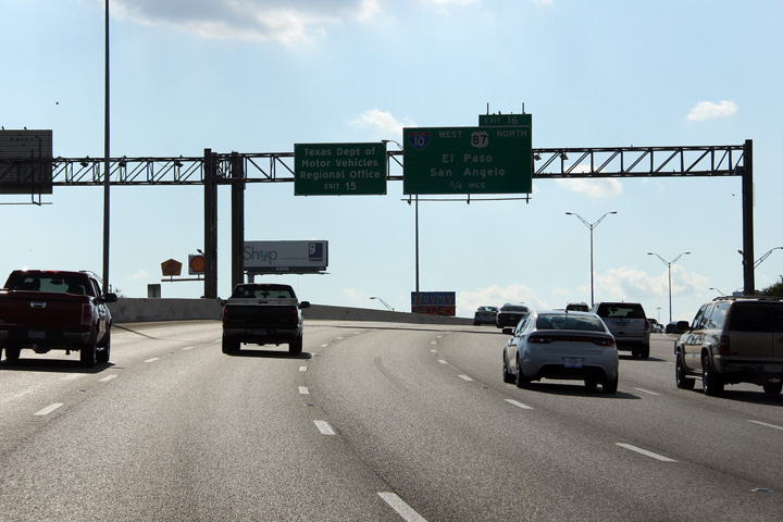
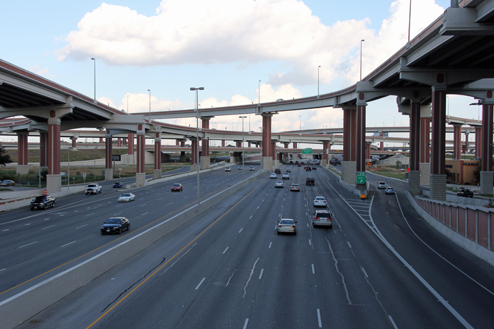
Harris County Houston |
View from the westbound lanes of I-410 as the on-ramps from I-10 West and East converge overtop of the freeway. |
 |
||
|
Date: 11/4/2012 |
High-res: (1440x960) (2400x1600) | |||
|
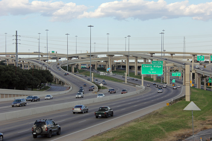
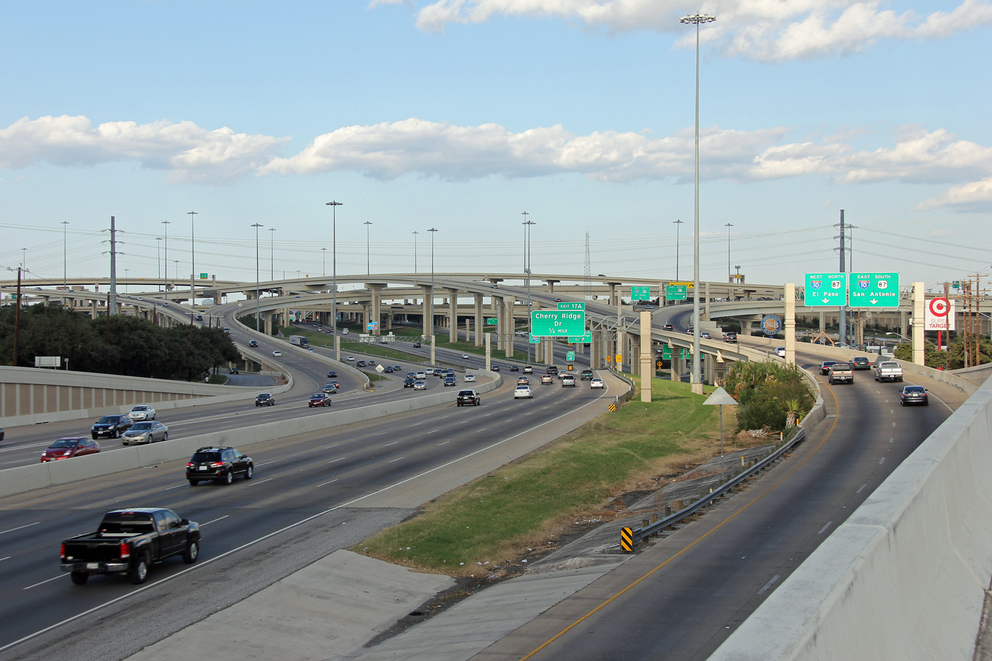
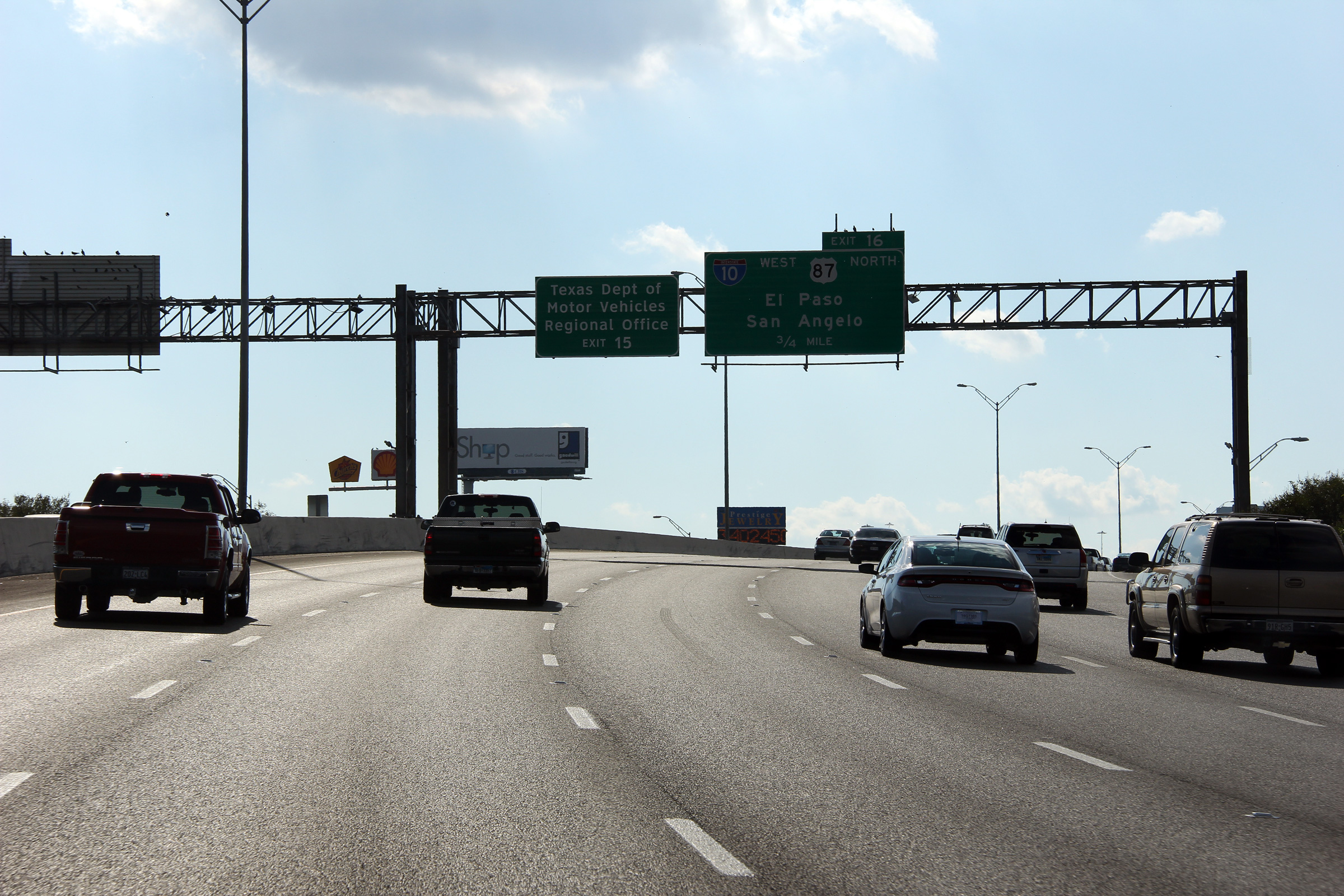
Bexar County San Antonio |
Westerly view of the Interstate 10 interchange from the Cherry Ridge Drive overpass. |
 |
||
|
Date: 11/4/2012 |
High-res: (1440x960) (2400x1600) | |||
|
Bexar County San Antonio |
The overhead signage outlining the lane assignment at the Interstate 10 interchange exit is situated just before the Cherry Ridge Drive overpass |
 |
||
|
Date: 11/4/2012 |
High-res: (1440x960) (2400x1600) | |||
|
Bexar County San Antonio |
Westerly view along I-410 from just east of the Cherry Ridge Drive overpass. |
 |
||
|
Date: 11/4/2012 |
High-res: (1440x960) (2400x1600) | |||
|
Bexar County San Antonio |
Overhead advanced signage for the I-10 interchange |
 |
||
|
Date: 11/4/2012 |
High-res: (1440x960) (2400x1600) | |||
|
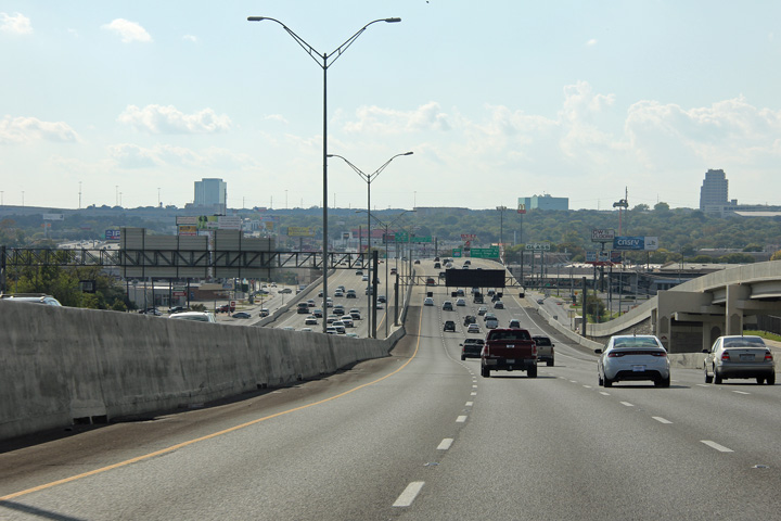
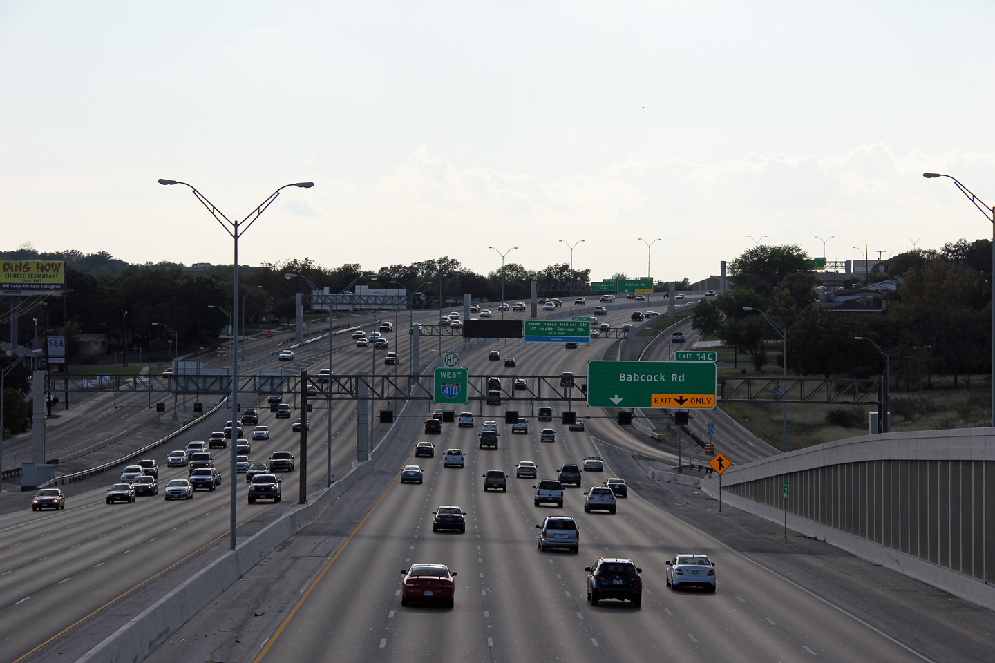
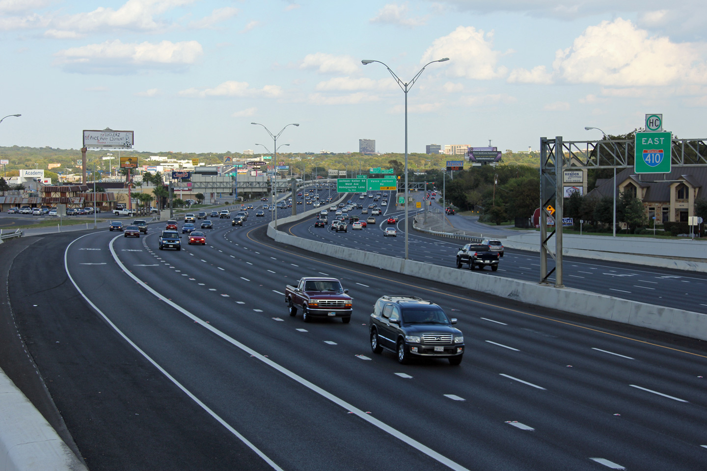
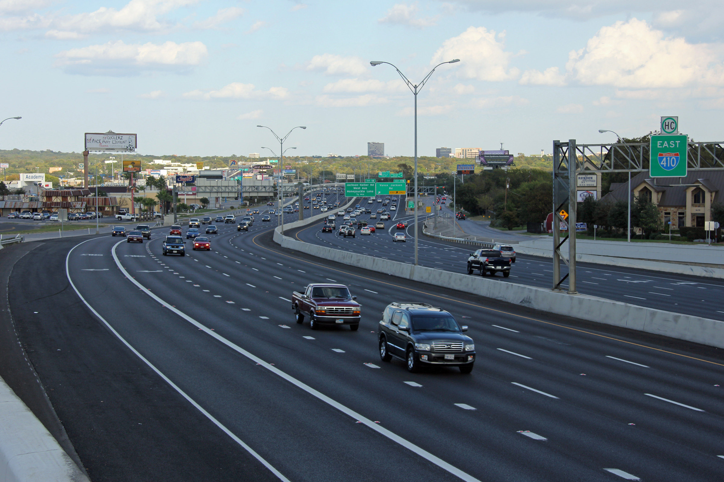
Bexar County San Antonio |
Westerly view between Vance Jackson Road and Jackson Keller Road. |
 |
||
|
Date: 11/4/2012 |
High-res: (1440x960) (2400x1600) | |||
|
Bexar County Castle Hills |
Easterly view from overtop of the West Avenue underpass. |
 |
||
|
Date: 11/4/2012 |
High-res: (1440x960) (2400x1600) | |||
|
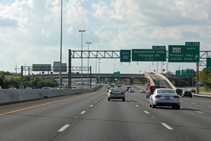
Bexar County Castle Hills |
Easterly view approaching the Military Hwy interchange. |
 |
||
|
Date: 11/4/2012 |
High-res: (1440x960) (2400x1600) | |||
|
Bexar County Castle Hills |
View looking westerly along I-410 from west of the Military Hwy interchange. |
 |
||
|
Date: 11/4/2012 |
High-res: (1440x960) (2400x1600) | |||
|
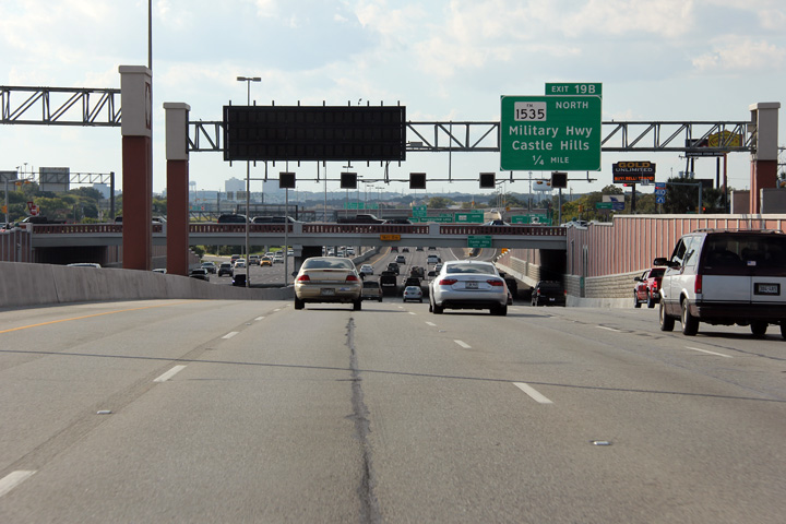
Bexar County Castle Hills |
Westerly view at the Military Highway interchange. The westbound off-ramp to the Military Highway does not connect to the westbound I-410 frontage road. |
 |
||
|
Date: 11/4/2012 |
High-res: (1440x960) (2400x1600) | |||
|
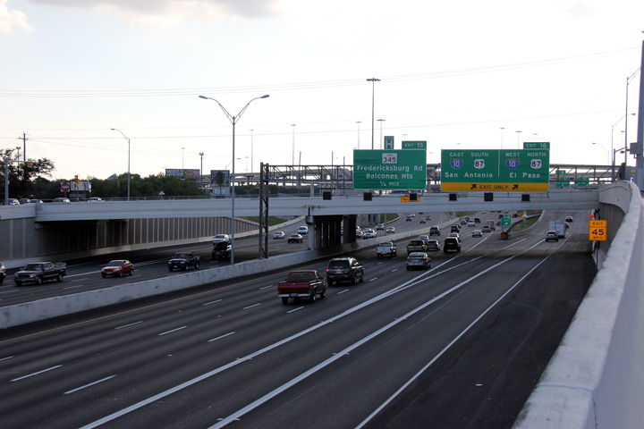
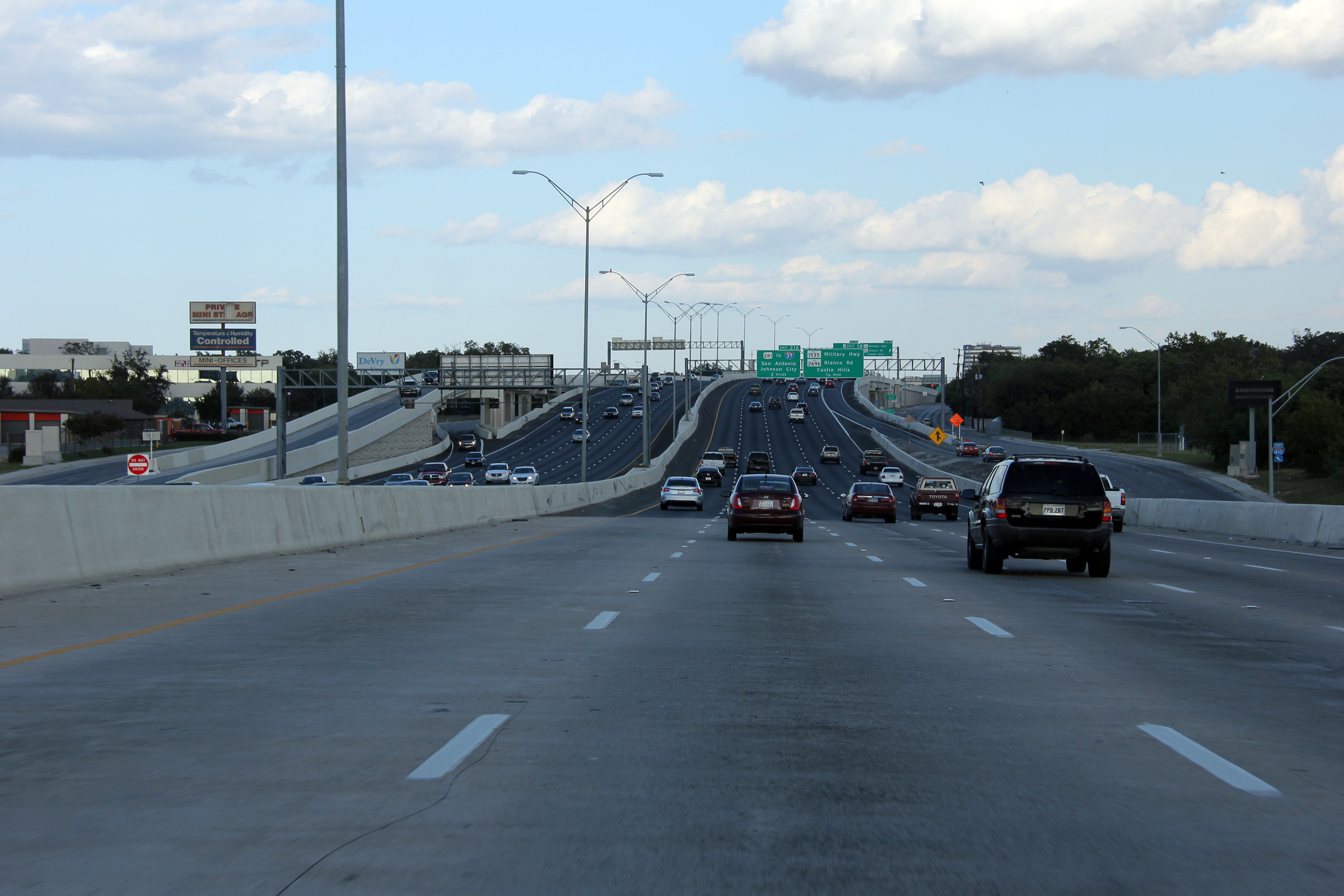
Bexar County Castle Hills |
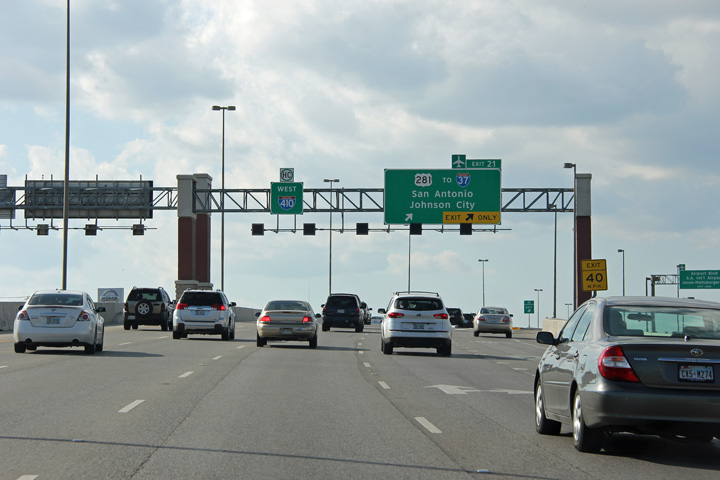
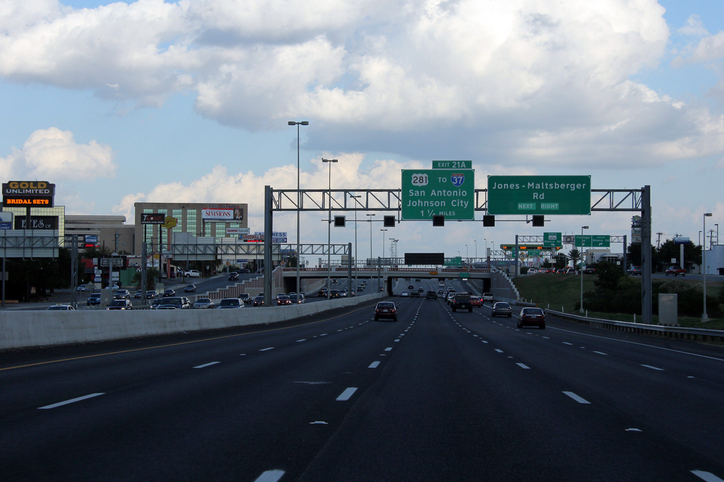
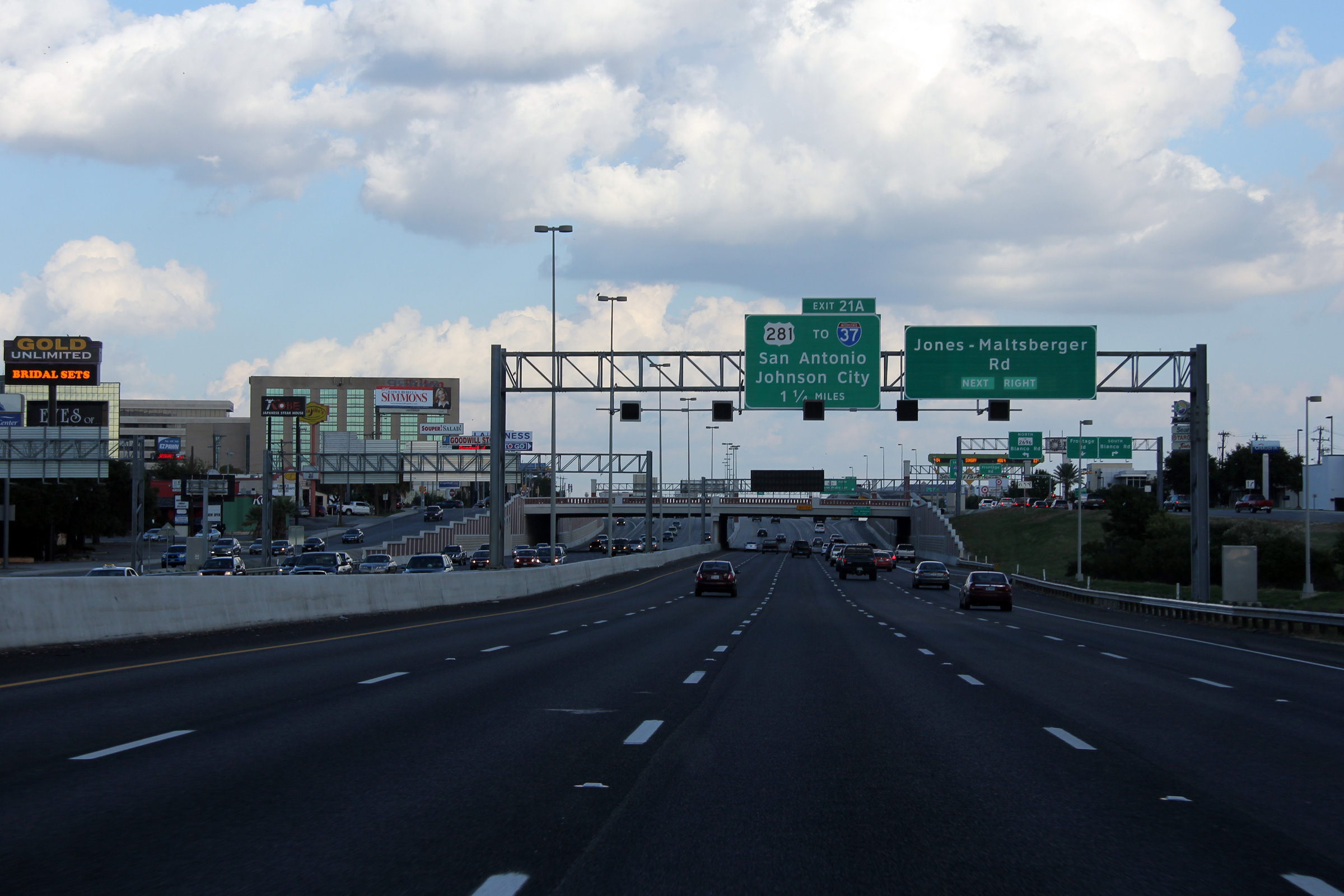
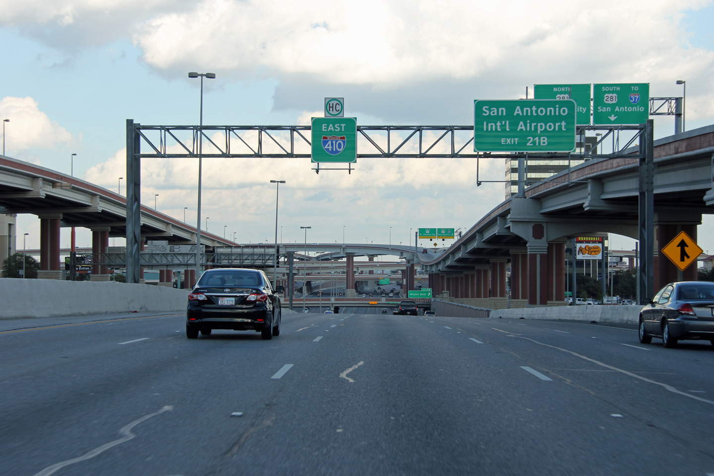
Advanced signage for the Jones-Maltsberger Road and US-281 interchanges. |
 |
||
|
Date: 11/4/2012 |
High-res: (1440x960) (2400x1600) | |||
|
Bexar County Castle Hills |
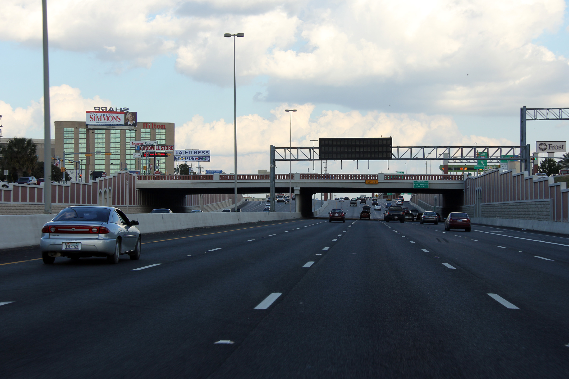
Easterly view at the Blanco Road overpass. The retaining walls and overhead structures along this portion of I-410 West have been constructed with aesthetics that match the large US-281 interchange that lies to the east. |
|
||
|
Date: 11/4/2012 |
High-res: (1440x960) (2400x1600) | |||
|
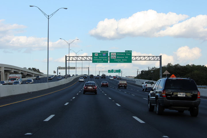
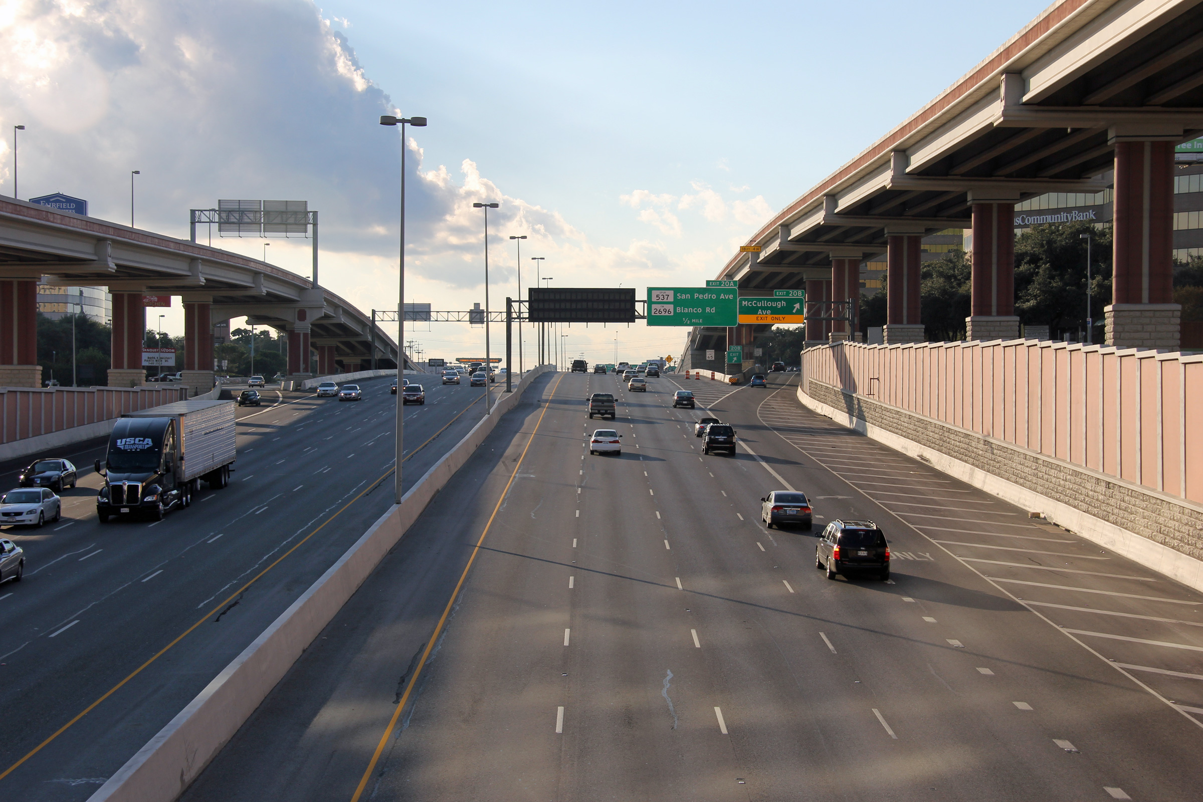
Bexar County San Antonio |
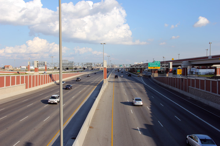
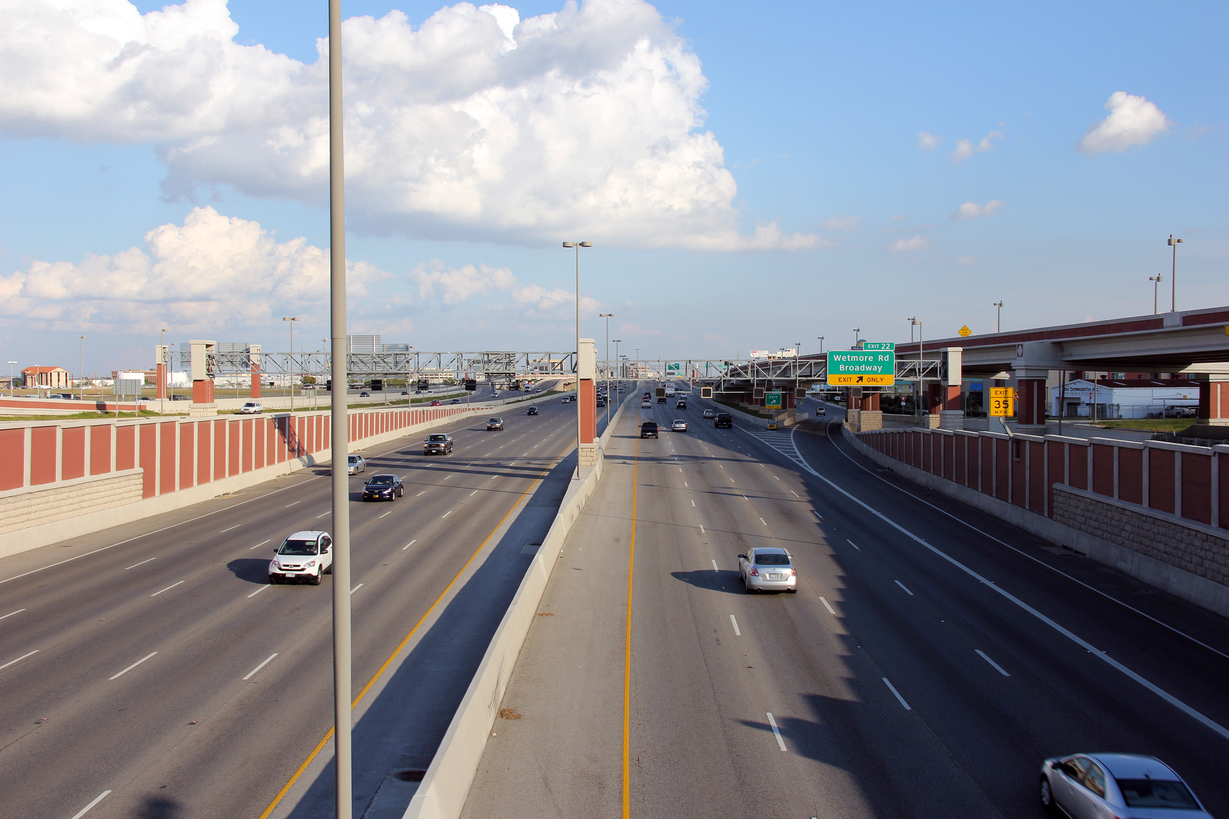
Advance signage for the ramp to F.M. 1535. |
 |
||
|
Date: 11/4/2012 |
High-res: (1440x960) (2400x1600) | |||
|
Bexar County San Antonio |
Eastbound advanced signage for the US-281 interchange. |
 |
||
|
Date: 11/4/2012 |
High-res: (1440x960) (2400x1600) | |||
|
Bexar County San Antonio |
View looking easterly at eastbound off-ramp to US-281. The ramps to and from US-281 run parallel to the mainline lanes of I-410 for several hundred feet before meeting US-281. |
|
||
|
Date: 11/4/2012 |
High-res: (1440x960) (2400x1600) | |||
|
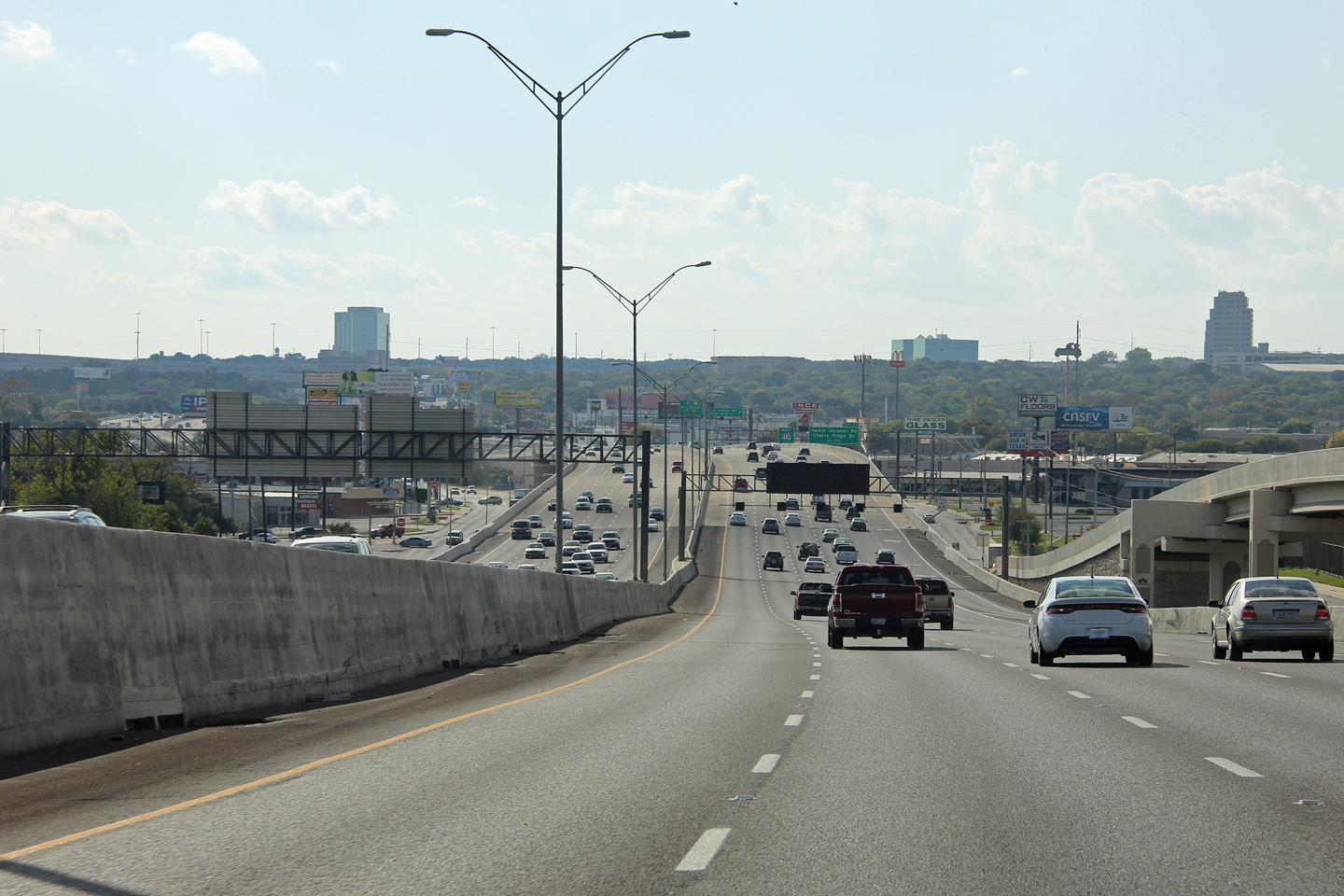
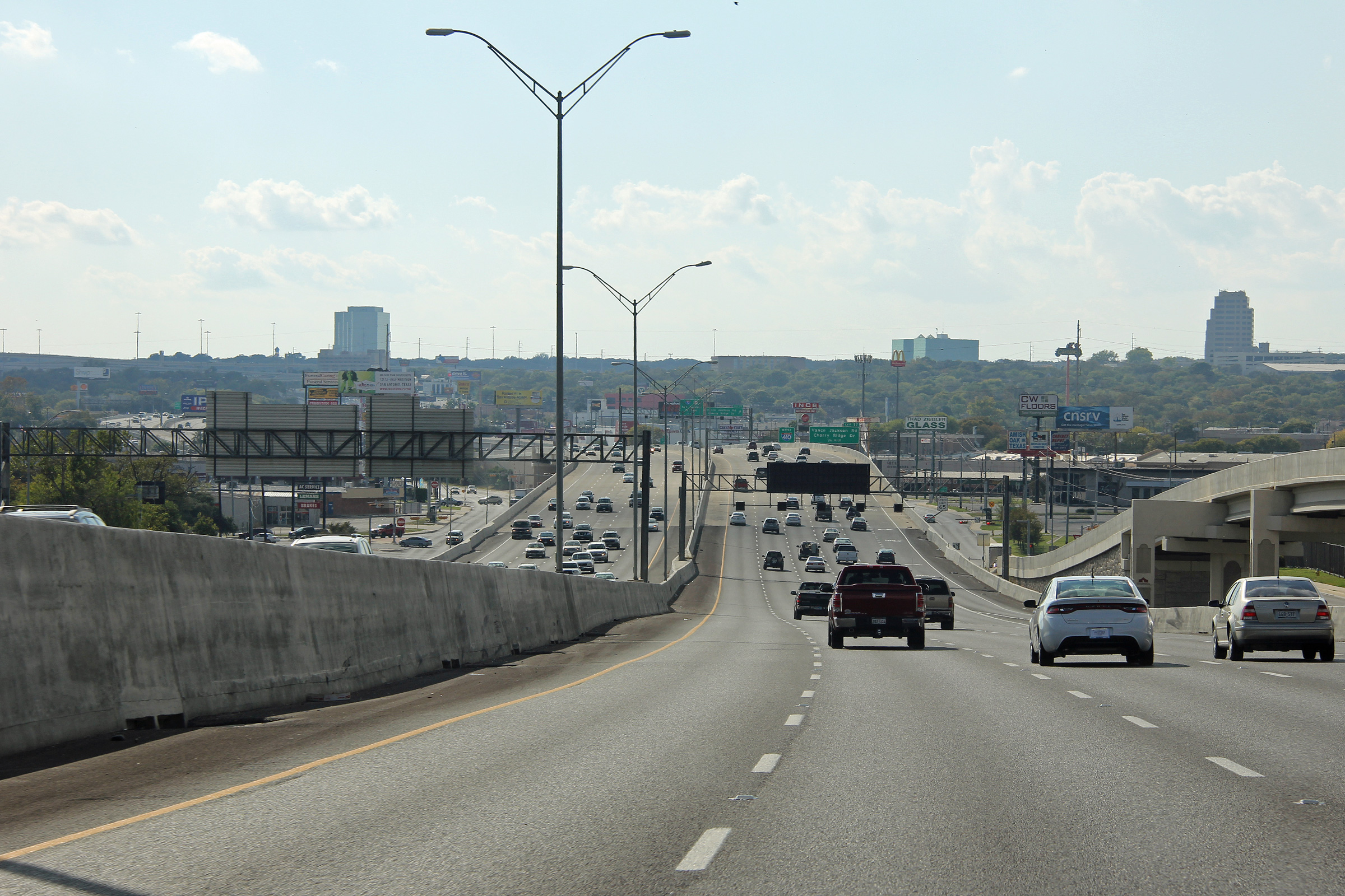
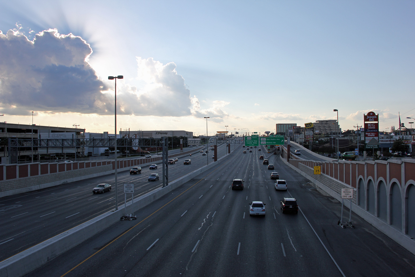
Bexar County San Antonio |
View looking westerly towards a late afternoon sun from the McCullough Avenue overpass. |
 |
||
|
Date: 11/4/2012 |
High-res: (1440x960) (2400x1600) | |||
|
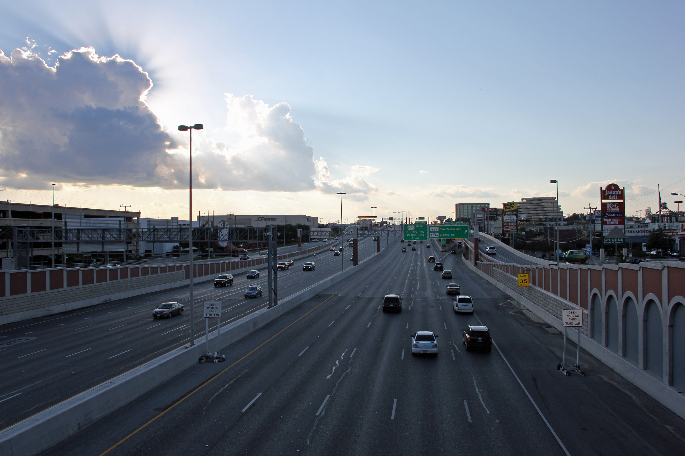
Bexar County San Antonio |
Easterly view from the McCullough Avenue overpass towards the US-281 interchange. |
 |
||
|
Date: 11/4/2012 |
High-res: (1440x960) (2400x1600) | |||
|
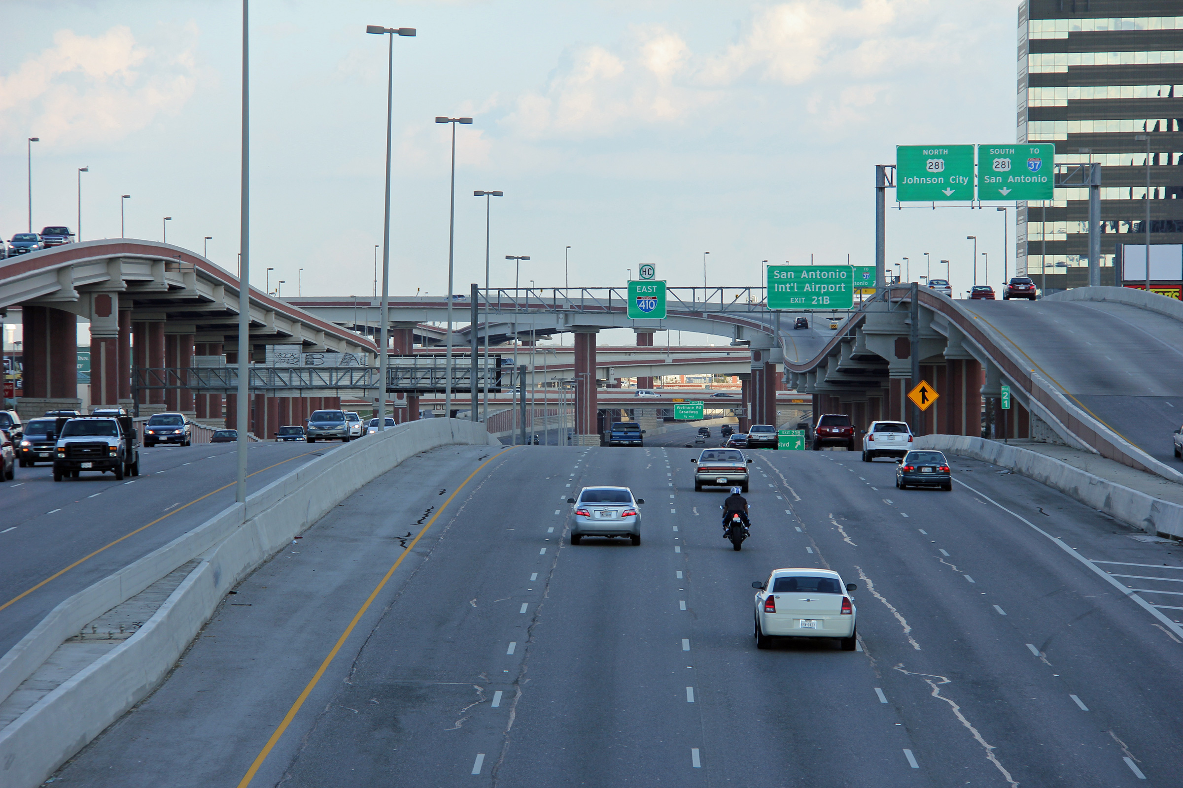
Bexar County San Antonio |
Drivers perspective of the US-281 interchange from east of the McCullough Avenue overpass. |
 |
||
|
Date: 11/4/2012 |
High-res: (1440x960) (2400x1600) | |||
|
Bexar County San Antonio |
Easterly view approaching the Jones-Maltsberger Road overpass. It is impossible to capture the huge scale of the US-281 interchange with a camera. |
 |
||
|
Date: 11/4/2012 |
High-res: (1440x960) (2400x1600) | |||
|
Bexar County San Antonio |
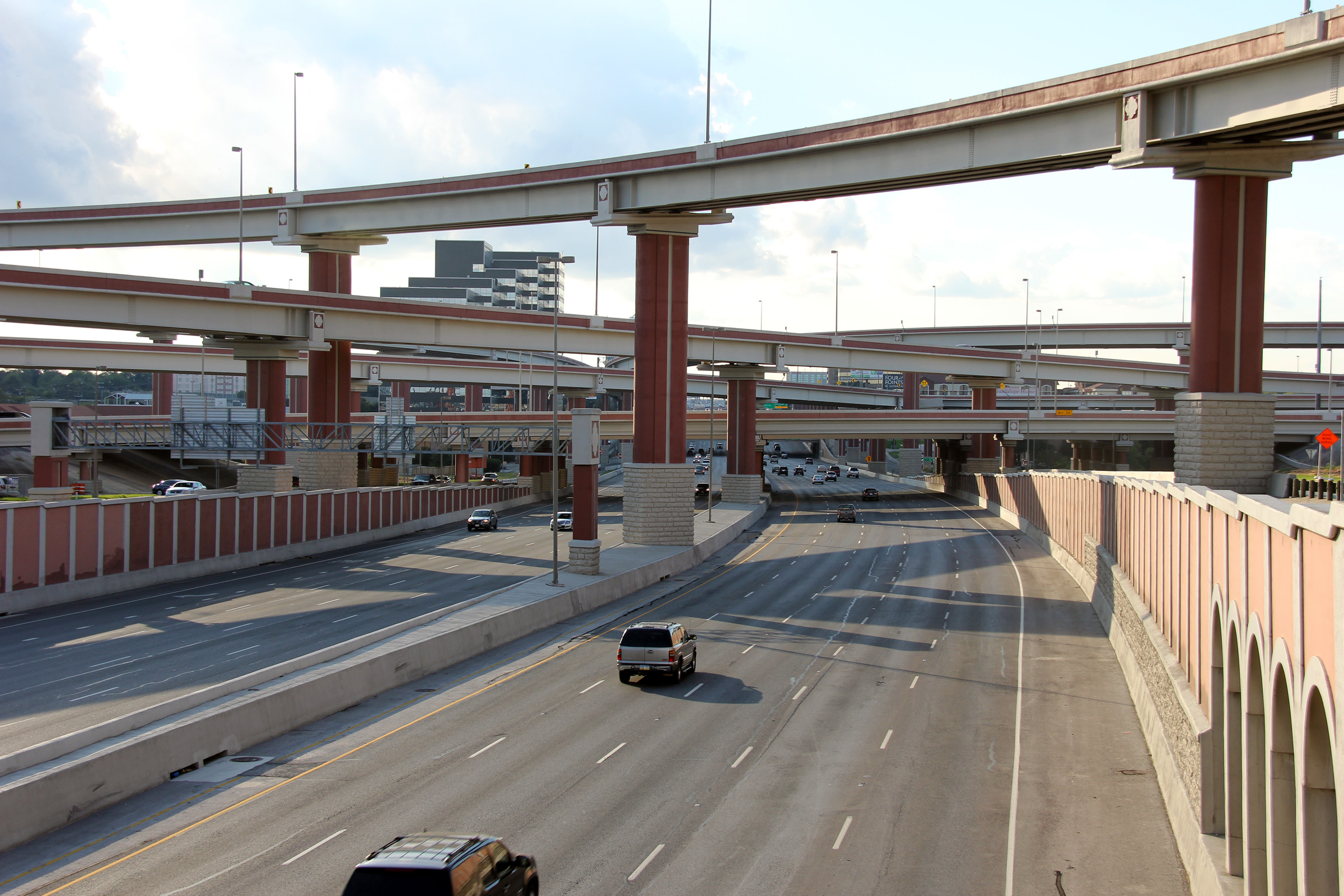
Westerly view along Interstate 410 from the Jones-Maltsberger Road overpass. The ramps to and from US-281 tower over Interstate 410 at this location. |
 |
||
|
Date: 11/4/2012 |
High-res: (1440x960) (2400x1600) | |||
|
Bexar County San Antonio |
Easterly view towards the staggeringly large US-281 interchange from the Jones-Maltsberger Road overpass. |
 |
||
|
Date: 11/4/2012 |
High-res: (1440x960) (2400x1600) | |||
|
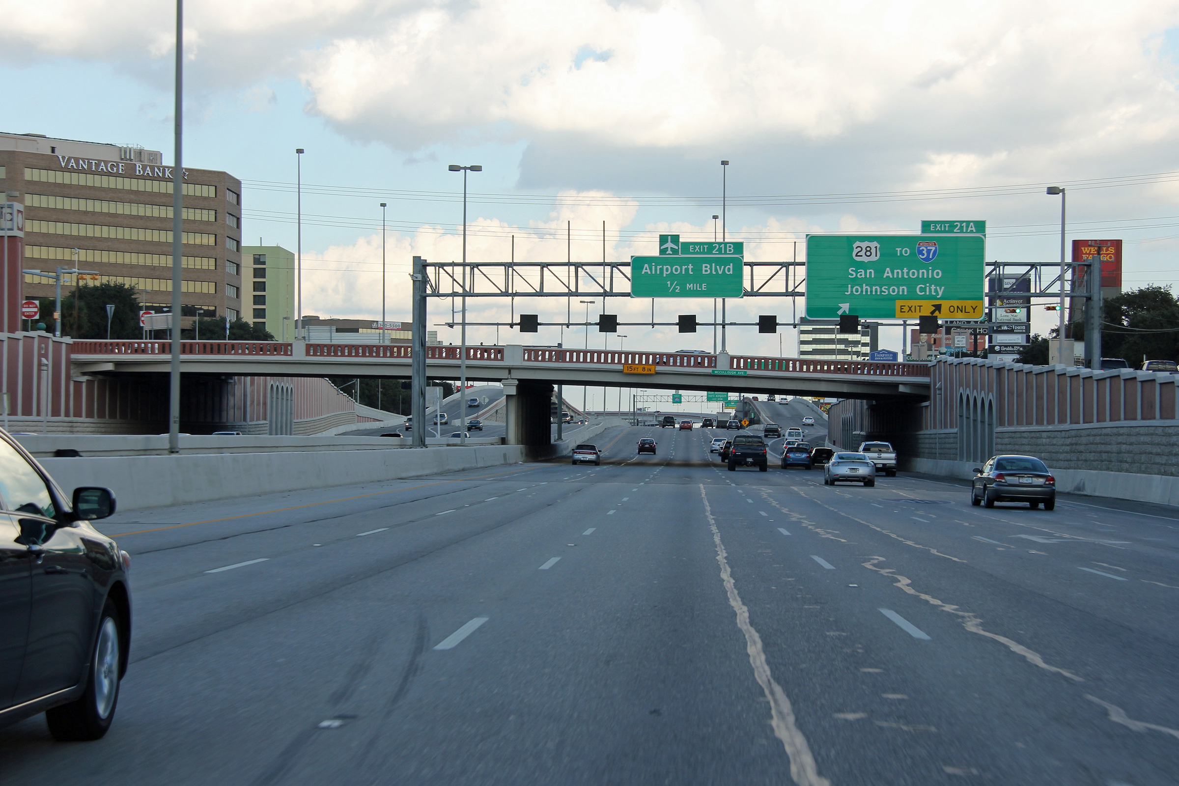
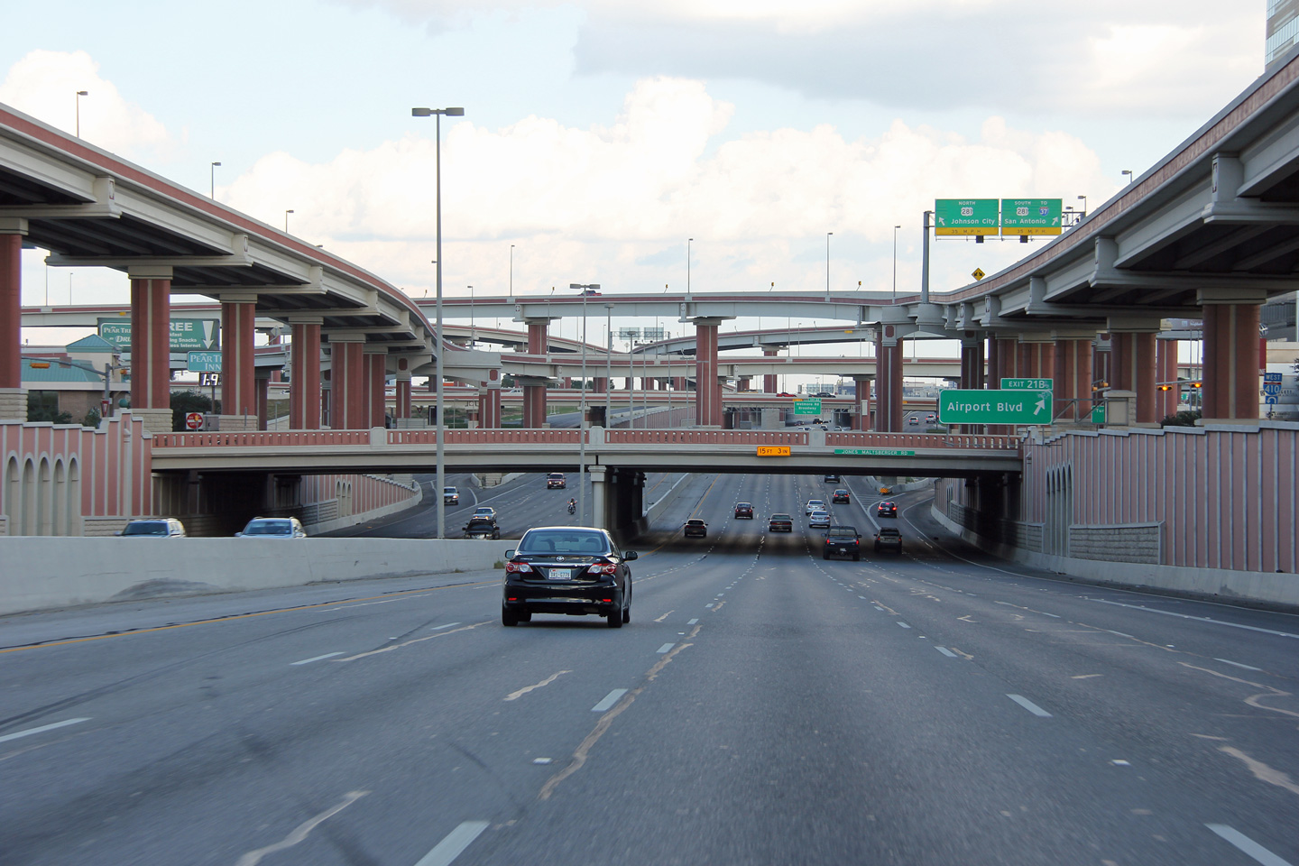
Bexar County San Antonio |
View looking westerly from the Airport Boulevard overpass. |
 |
||
|
Date: 11/4/2012 |
High-res: (1440x960) (2400x1600) | |||
|
Bexar County San Antonio |
Easterly view towards the staggeringly large US-281 interchange from the Jones Maltsberger Road overpass. |
 |
||
|
Date: 11/4/2012 |
High-res: (1440x960) (2400x1600) | |||
|
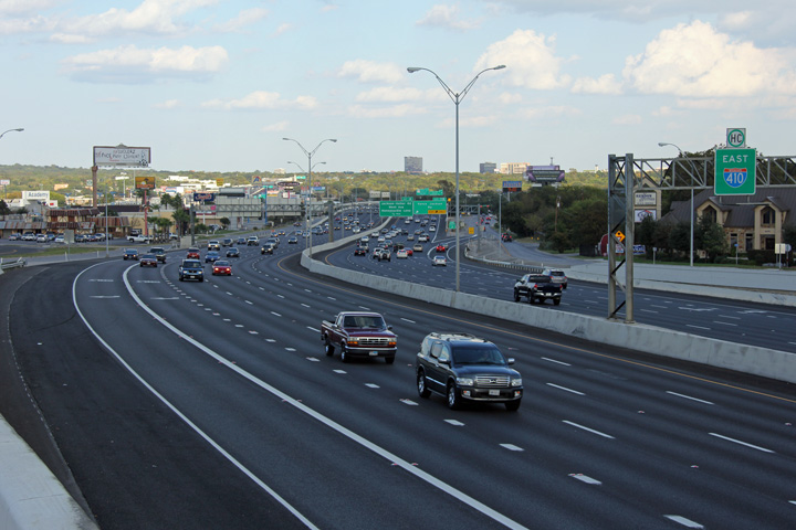
Bexar County San Antonio |
This view looks westerly along I-410 towards the US-281 interchange. |
 |
||
|
Date: 11/4/2012 |
High-res: (1440x960) (2400x1600) | |||
|
Bexar County San Antonio |
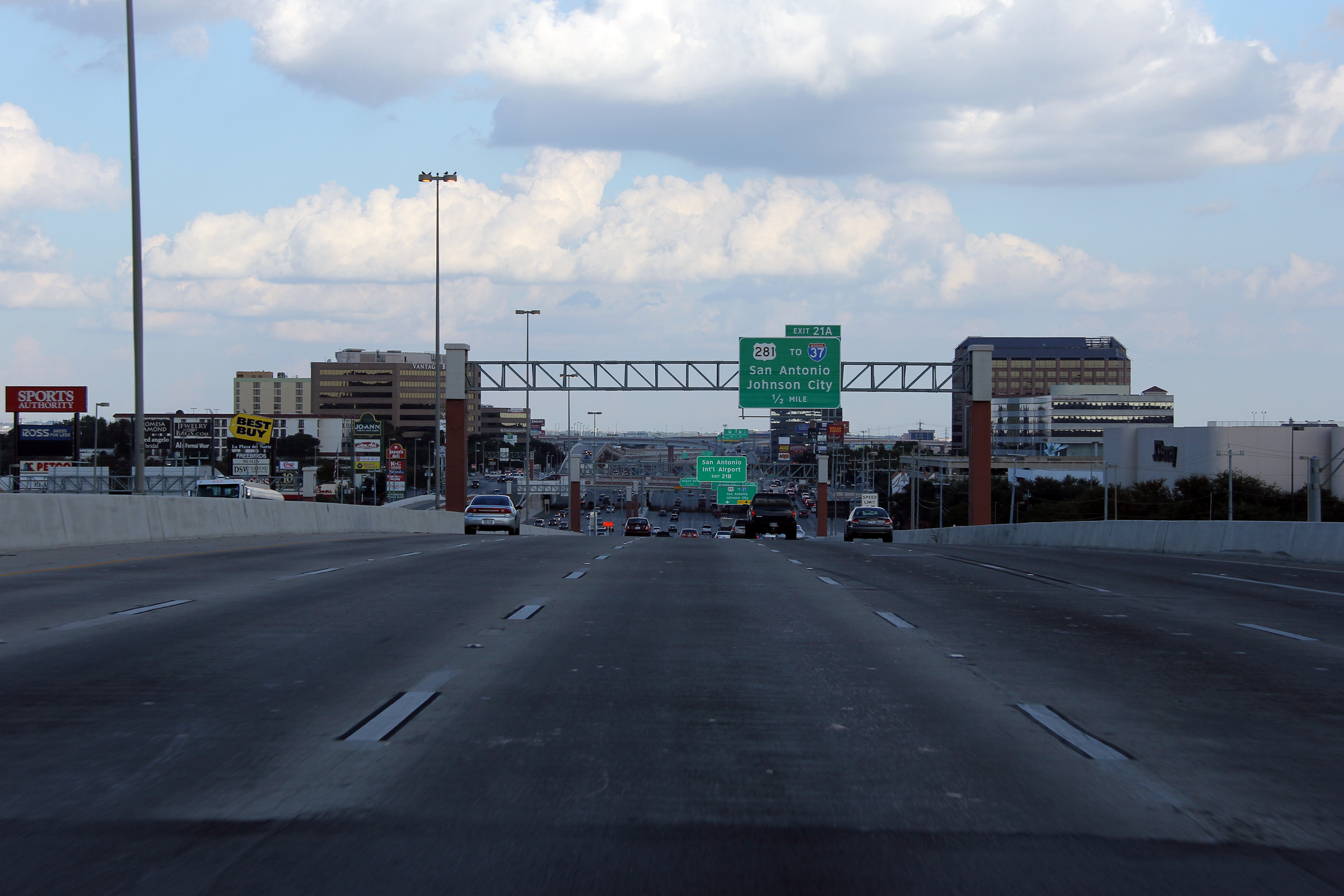
Signage at the westbound ramp for the US-281 interchange. |
 |
||
|
Date: 11/4/2012 |
High-res: (1440x960) (2400x1600) | |||
|
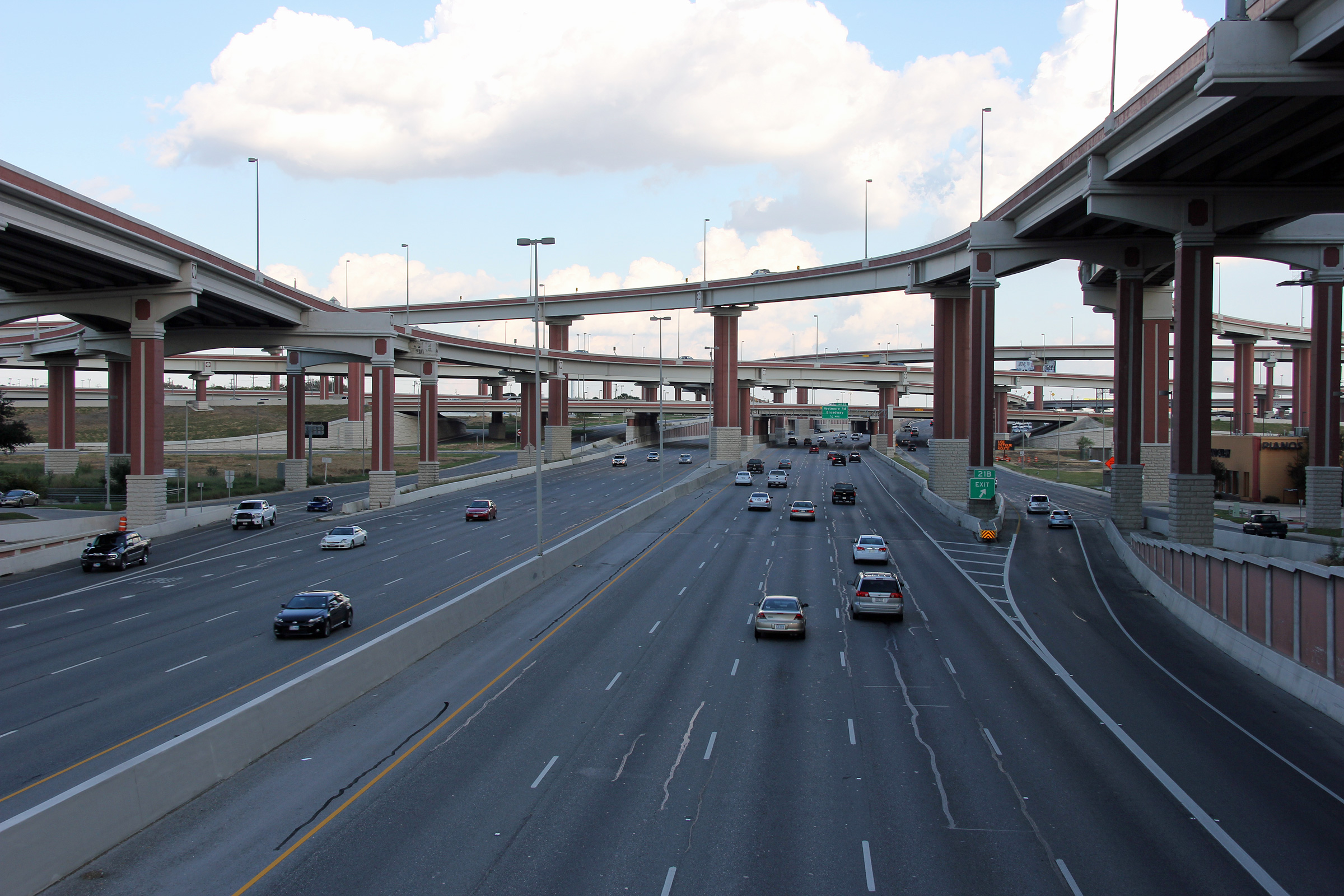
Bexar County San Antonio |
Westerly view from west of the Nacogdoches Road underpass. |
 |
||
|
Date: 11/4/2012 |
High-res: (1440x960) (2400x1600) | |||
|
Bexar County San Antonio |
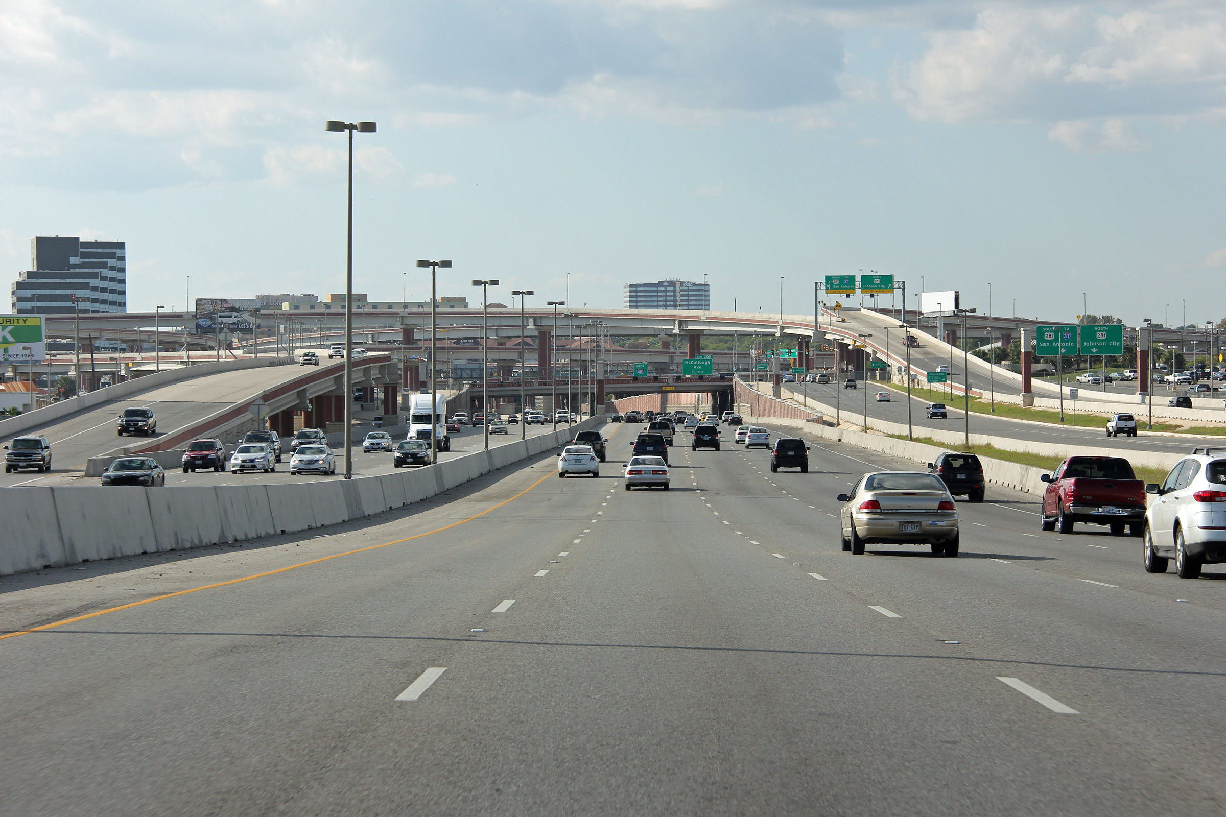
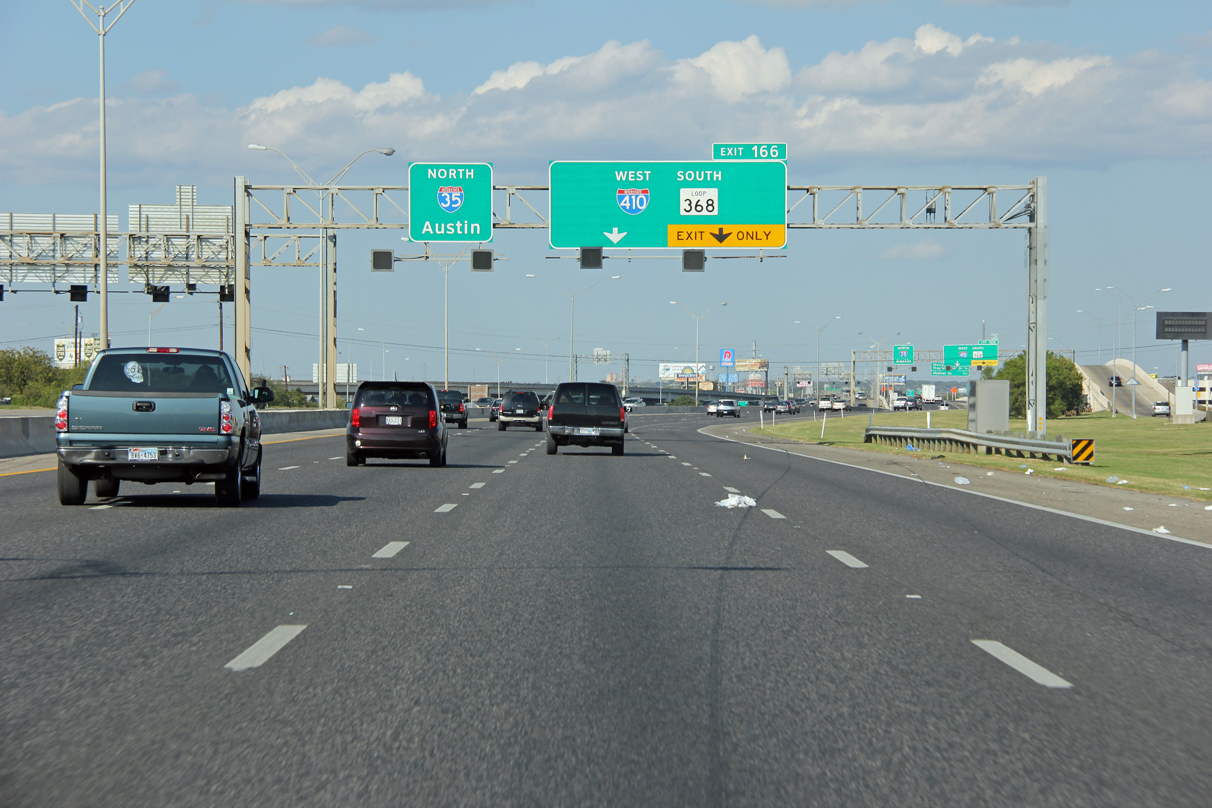
View looking northerly at the I-35/I-410 split. I-410 makes a near 180 degree curve at this interchange. |
 |
||
|
Date: 11/4/2012 |
High-res: (1440x960) (2400x1600) | |||
|
Bexar County San Antonio |
Advanced signage for the northern I-35/I-410 split. |
 |
||
|
Date: 11/4/2012 |
High-res: (1440x960) (2400x1600) | |||
<- I-345
TX Highways
I-610 ->
AsphaltPlanet.ca
© 2006-2012 AsphaltPlanet.ca.
AsphaltPlanet@asphaltplanet.ca
Page Created: December 9, 2012.
Last Updated: December 9, 2012.
