|
Proper Municipality Name |
Photo Description |
Photo |
|
Pictures taken
from driver's perspective appear offset from centre-line pictures: |
East-
Bound |
West-
Bound |
| Township of Seguin District of
Parry Sound |
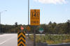
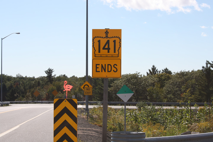
Yellow ends sign denoting the western terminus of Highway 141. This
yellow sign is the third and most predominant ends sign to be installed at
this location since Highway 141 was extended to Highway 400 in 2003.
Photo courtesy: Patrick Gaudreau. |
 |
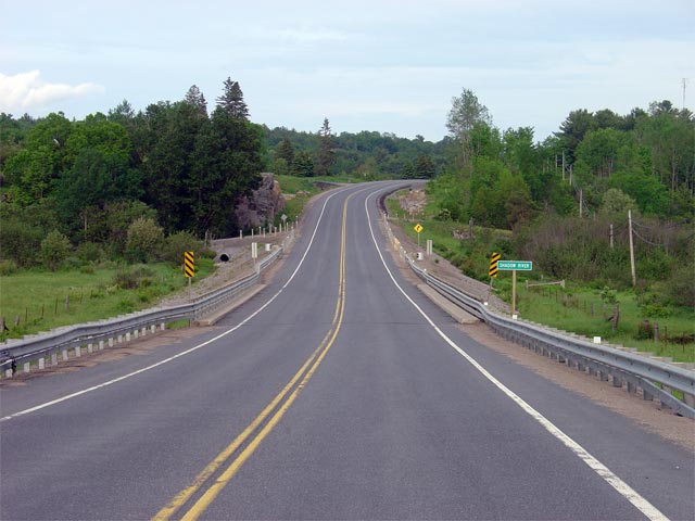
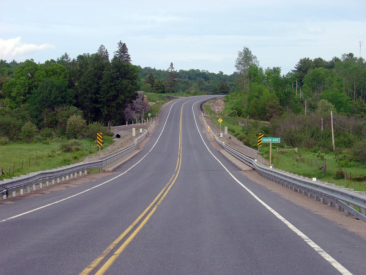
| Township of Seguin District of
Parry Sound |
View looking easterly as Highway 141 crosses the timber tussle bridge at
Shadow Creek. Picture taken: June 3rd, 2006. Low-res: 50kb.
High-res: 205kb. |
Low-res
High-res |
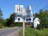
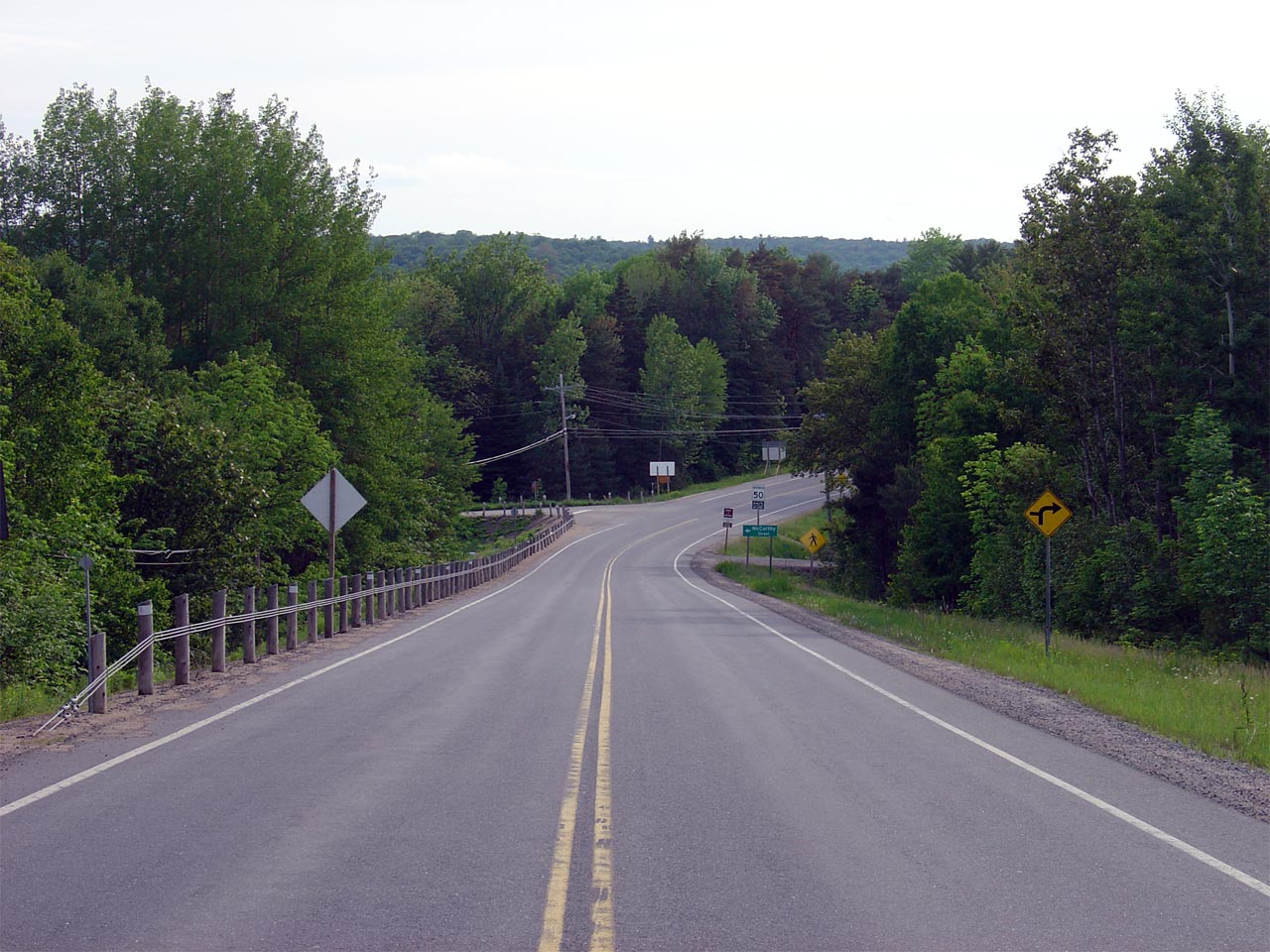
| Township of Seguin District of
Parry Sound |
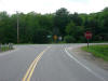
Eastbound advanced signage for the Highway 632 junction in Rosseau.
Picture courtesy Patrick Gaudreau, taken: June 9th, 2007. Size: 70kb. |
 |
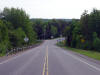
| Township of Seguin District of
Parry Sound |
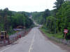
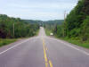
View looking easterly through Downtown Rosseau from the Cardwell Street
intersection. Picture taken: June 3rd, 2006. Low-res: 55kb.
High-res: 225kb. |

Low-res
High-res |
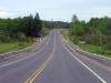
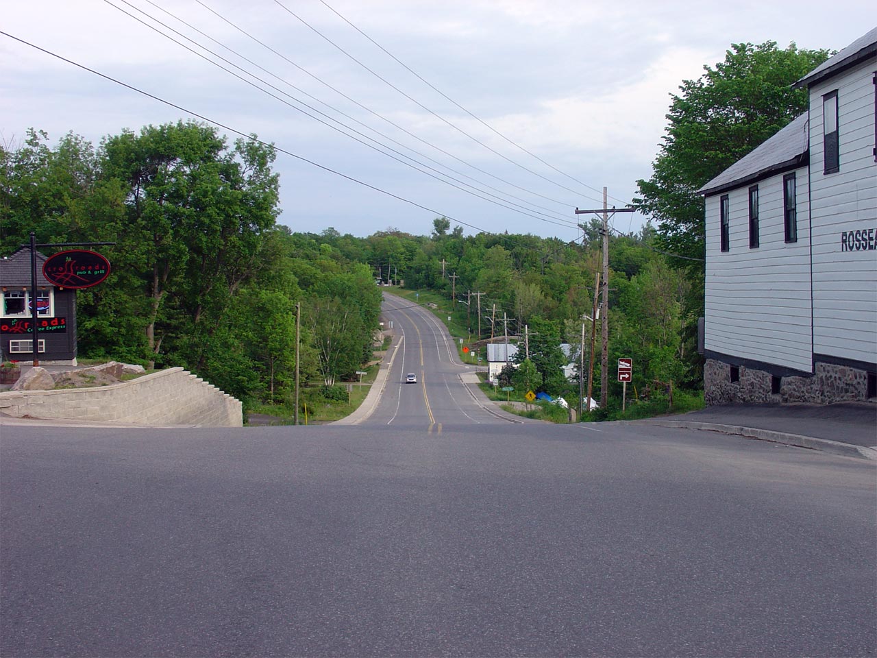
| Township of Seguin District of
Parry Sound |
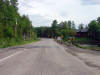
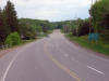
Looking westerly towards Rosseau from just east of the small community.
Picture taken: June 3rd, 2006. Low-res: 55kb. High-res: 225kb. |
Low-res
High-res |
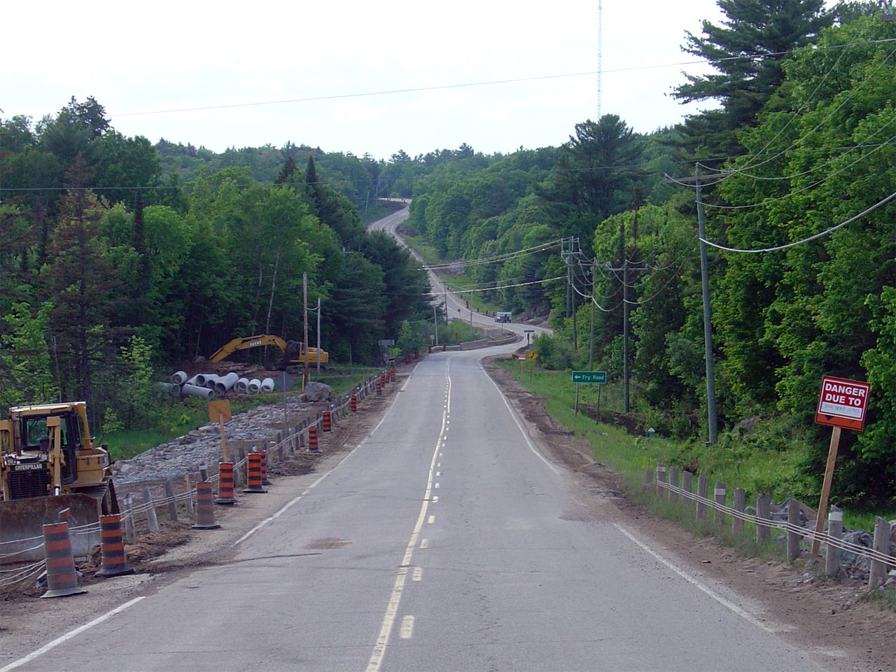
| Township of Muskoka Lakes
District Municipality of Muskoka |
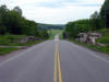
View looking westerly across the Rosseau River Valley near the Fry Road
intersection. The highway construction that is highlighted in this
picture has since wrapped up. Picture taken: June 3rd, 2006.
Low-res: 65kb. High-res: 230kb. |
Low-res
High-res |
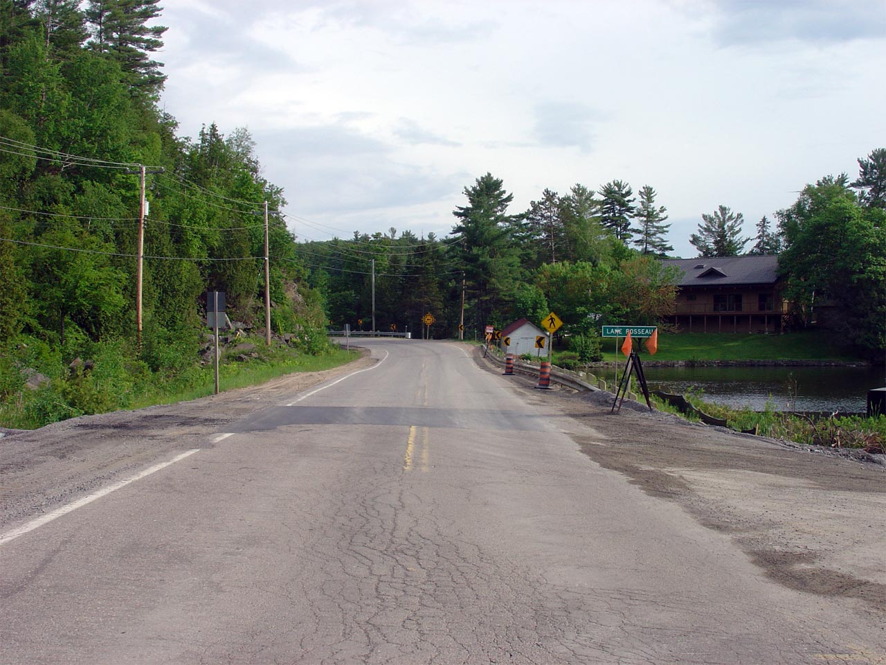
| Township of Muskoka Lakes
District Municipality of Muskoka |
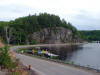
View looking easterly as Highway 141 nears Lake Rosseau. For nearly a
kilometre Highway 141 skirts the eastern shore of Lake Rosseau. Picture
taken: June 3rd, 2006. Low-res: 55kb. High-res: 230kb. |
Low-res
High-res |
| Township of Muskoka Lakes
District Municipality of Muskoka |
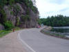
View of Highway 141 as it rounds the horseshoe lake curve at Lake Rosseau.
Note how close the road surface is to the lake's water level. Picture
taken: June 3rd, 2006. Low-res: 60kb. High-res: 230kb. |
Low-res
High-res |
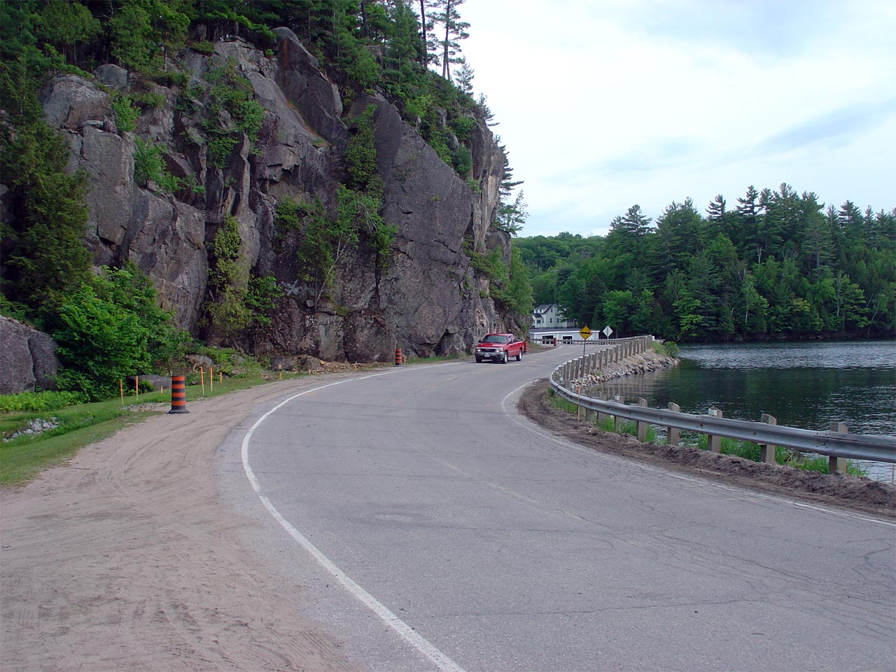
| Township of Muskoka Lakes
District Municipality of Muskoka |
Another view of Highway 141 at Lake Rosseau. This time highlighting
the highways narrow passage between the lake and a large rock outcropping.
Picture taken: June 3rd, 2006. Low-res: 60kb. High-res: 235kb. |
Low-res
High-res |
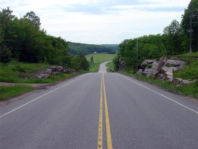
| Township of Muskoka Lakes
District Municipality of Muskoka |
View looking westerly into a large valley about a kilometre west of the
Muskoka Road 35 junction. This farm filled meadow seems out of place
along Highway 141's rugged Muskoka environment. Picture taken: June 3rd,
2006. Low-res: 50kb. High-res: 220kb. |
Low-res
High-res |
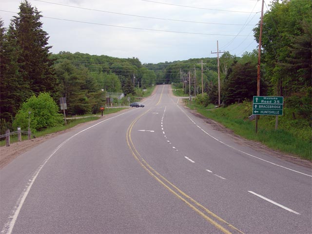
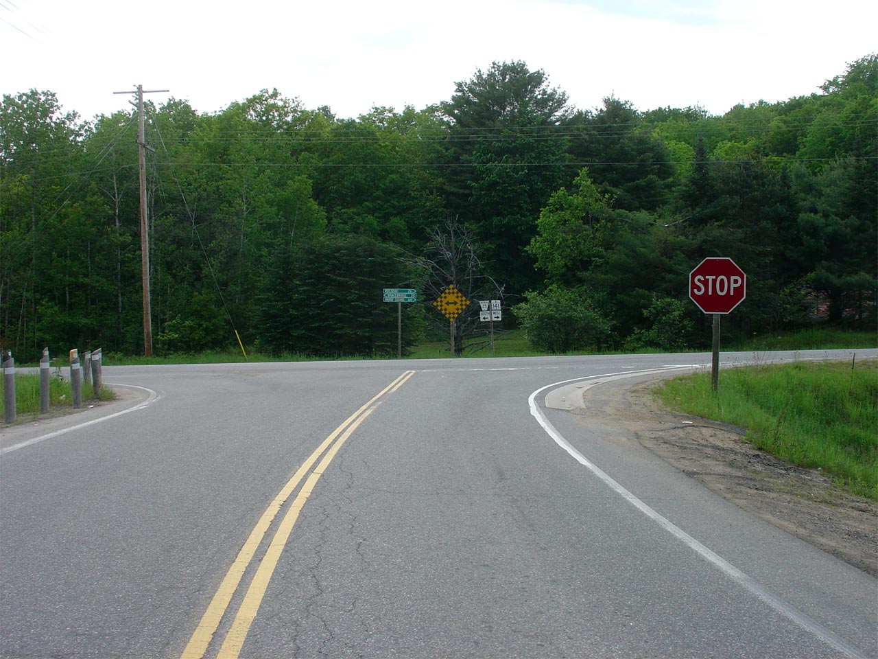
| Township of Muskoka Lakes
District Municipality of Muskoka |
View looking easterly at the approach to the Muskoka Road 35 junction.
Muskoka Road 35 is part of the historic Parry Sound Colonization Road and
was once part of Secondary Highway 532. Picture taken: June 3rd, 2006.
Low-res: 55kb. High-res: 225kb. |
Low-res
High-res |
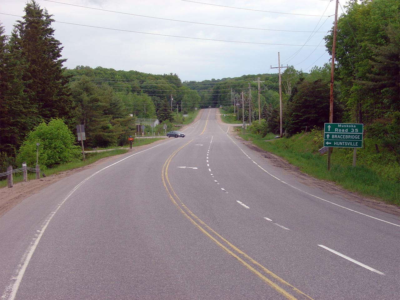
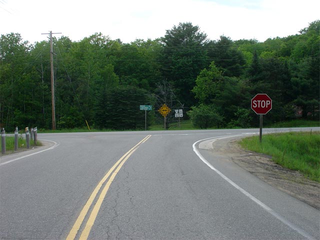
| Township of Muskoka Lakes
District Municipality of Muskoka |
This view looks westerly as Highway 141 meets Muskoka Road 35. Traffic
approaching this intersection must stop and turn right to continue westerly
along Highway 141. Picture taken: June 3rd, 2006. Low-res: 50kb.
High-res: 215kb. |
Low-res
High-res |
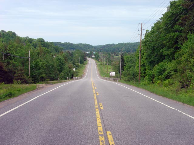
| Town of Huntsville District
Municipality of Muskoka |
View looking westerly at Highway 141 as it rounds over a high hill between
Muskoka Road 35 and Utterson. Picture taken: June 3rd, 2006.
Low-res: 60kb. High-res: 250kb. |
Low-res
High-res |
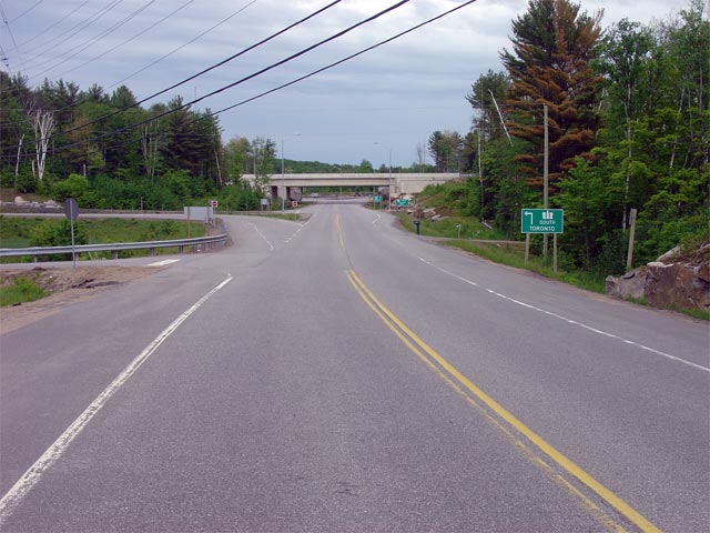
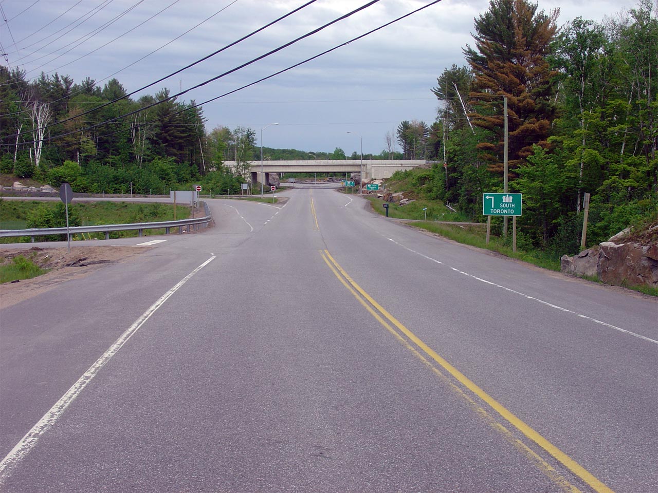
| Town of Huntsville District
Municipality of Muskoka |
View looking easterly as Highway 141 meets Highway 11 at a parclo A2
interchange. This interchange was completed in 2002, replacing a busy
at-grade crossing. It was the first interchange to be constructed
along Highway 11 between Bracebridge and Huntsville.
Picture taken: June 3rd, 2006. Low-res: 60kb. High-res: 250kb. |
Low-res
High-res |


