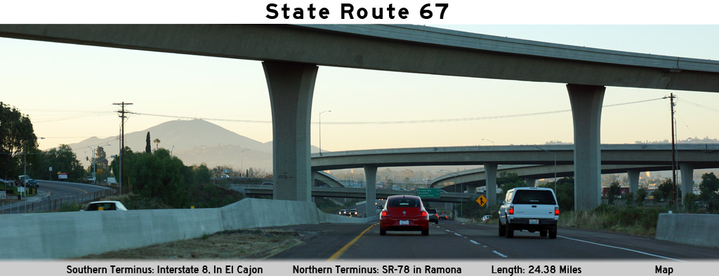
AsphaltPlanet.ca > California > SR-67
Pictures on this
page are arranged in order from south to north. CA-67 North photos are
left-aligned in the last column, while CA-67 South photos are right-aligned.
Center-line pictures are centered within the last column.
|
Location |
Description |
Photo |
||
|
North- |
South- |
|||
| I-8 leads easterly from I-5 in San Diego through the San Diego suburbs towards Brawly and continues easterly into Arizona. Click here for Interstate 8 Images. | ||||
|
San Diego County |
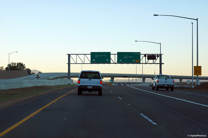
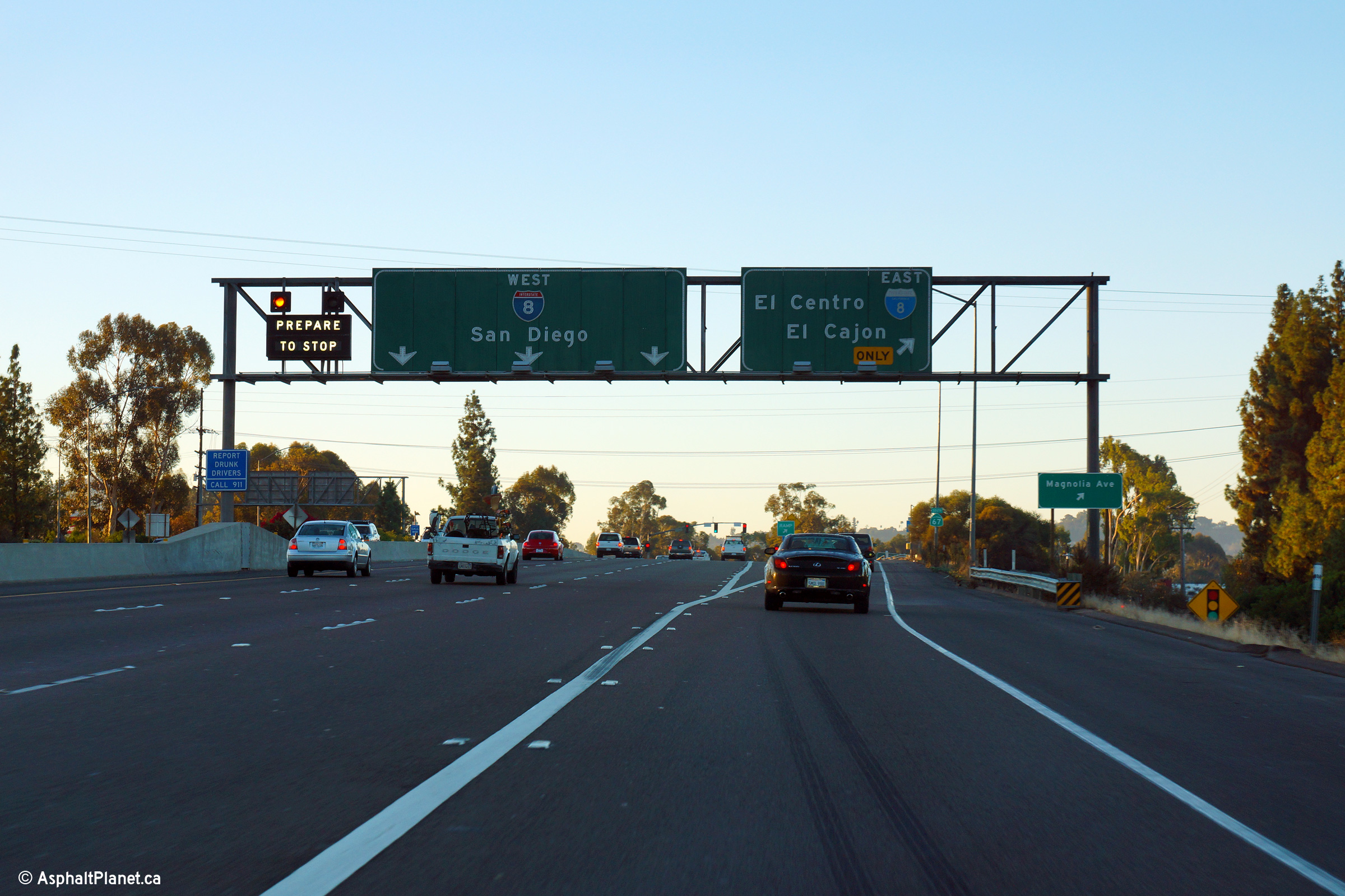
Southbound signage at the end of the 67 Freeway. This photo was taken during the morning rush hour in San Diego, so the ramp to I-8 West was metered. Traffic bound to I-8 East must exit the mainline at this interchange. The ramp to I-8 East joins a service before motorists can access to loop ramp bound for I-8 East. |
 |
||
|
Date: 10/31/2013 |
High-res: (1440x960) (2400x1600) | |||
|
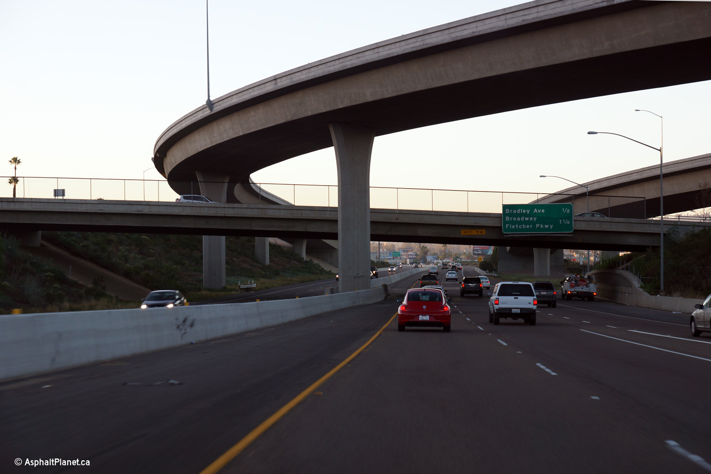
San Diego County |
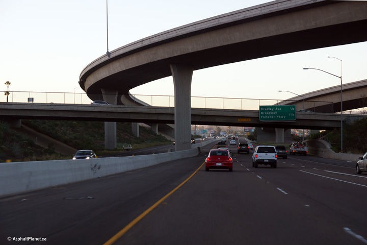
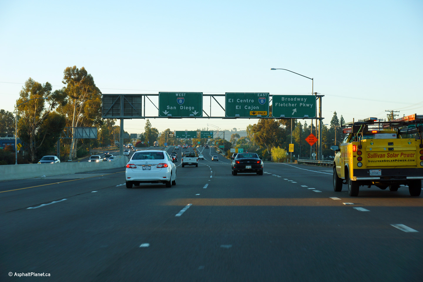
Signage at the exit to Broadway and Fletcher Parkway. |
 |
||
|
Date: 10/30/2013 |
High-res: (1440x960) (2400x1600) | |||
|
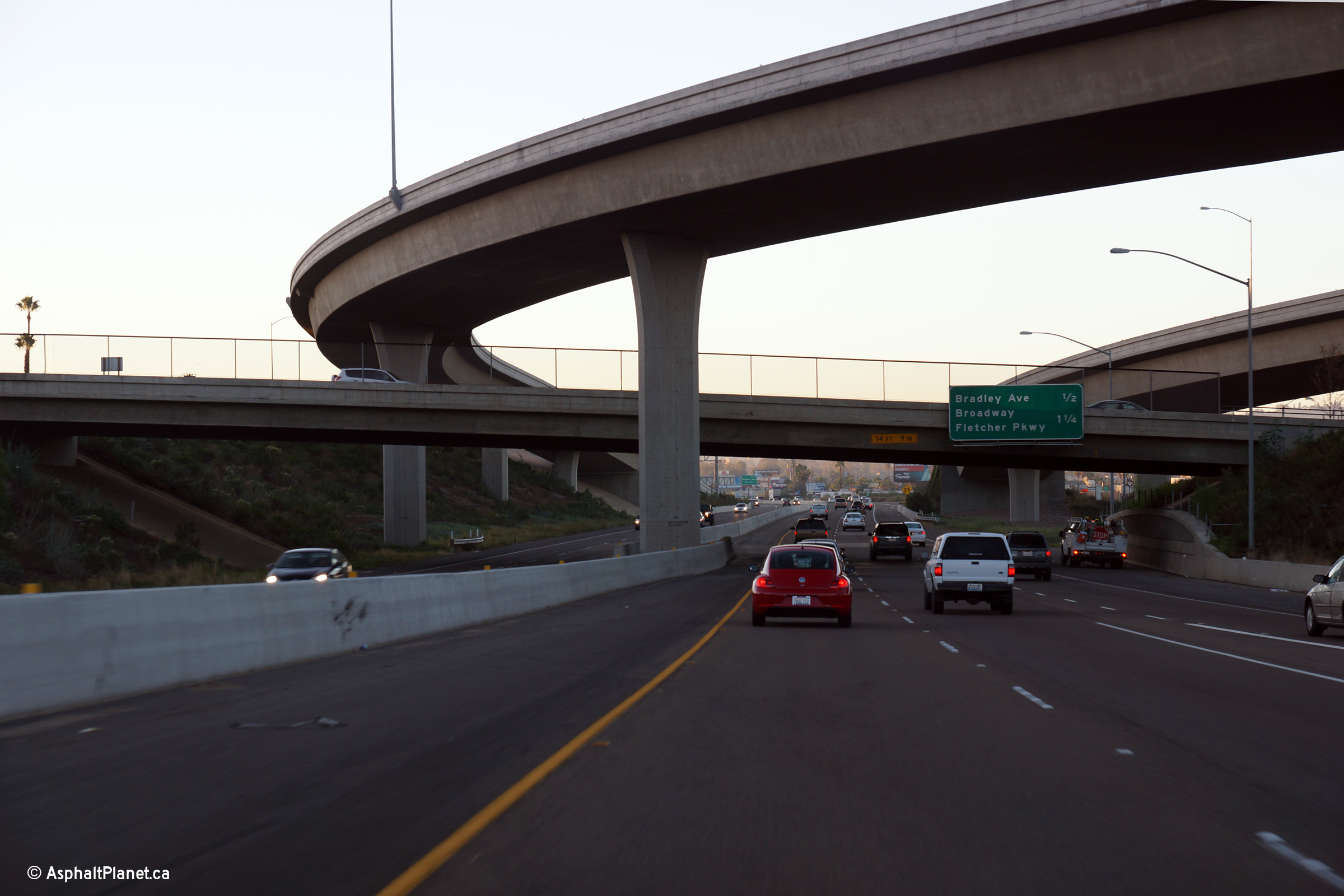
San Diego County |
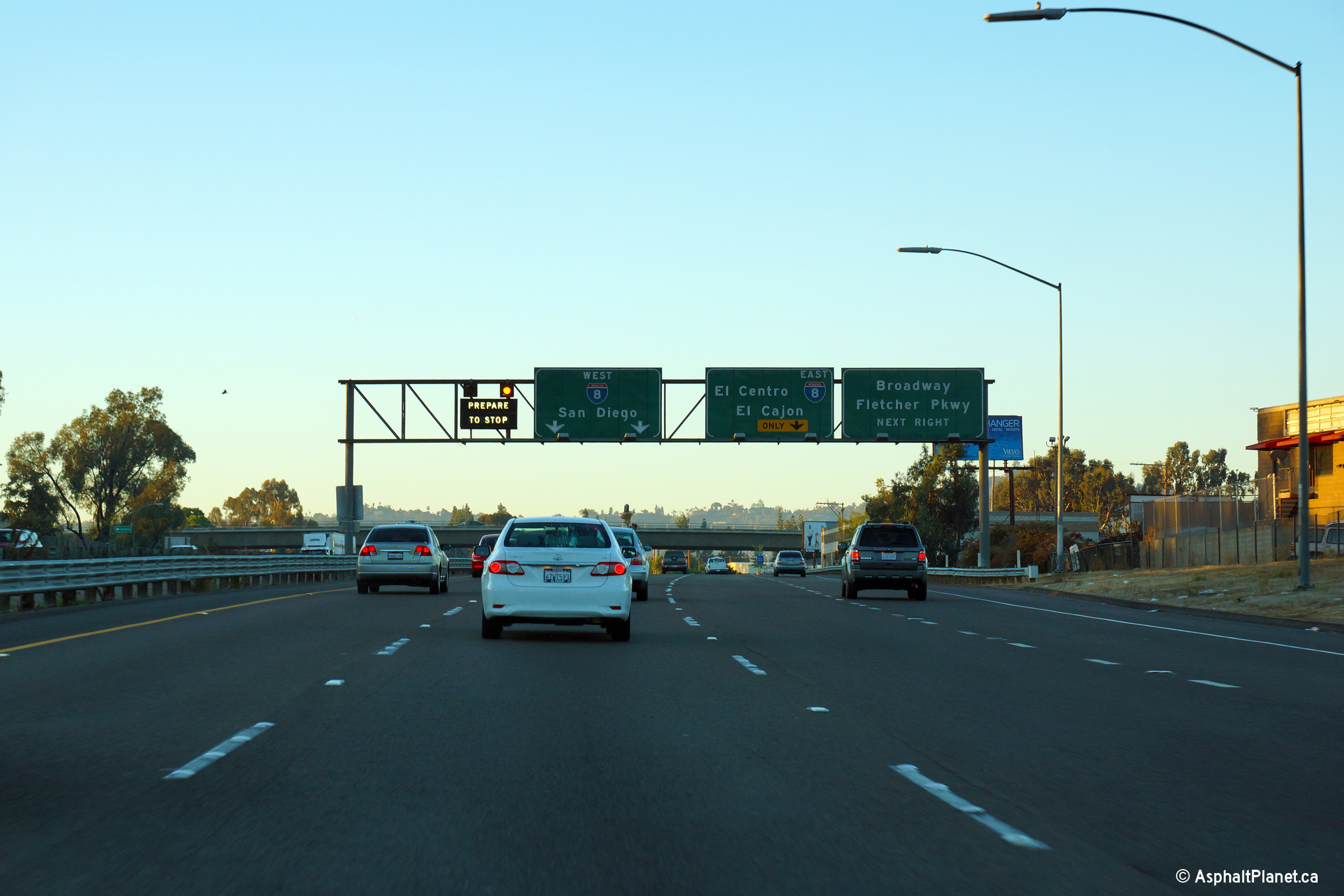
Advanced signage for the both the Interstate 8 and the off-ramp to Broadway and Fletcher Parkway. |
 |
||
|
Date: 10/30/2013 |
High-res: (1440x960) (2400x1600) | |||
|
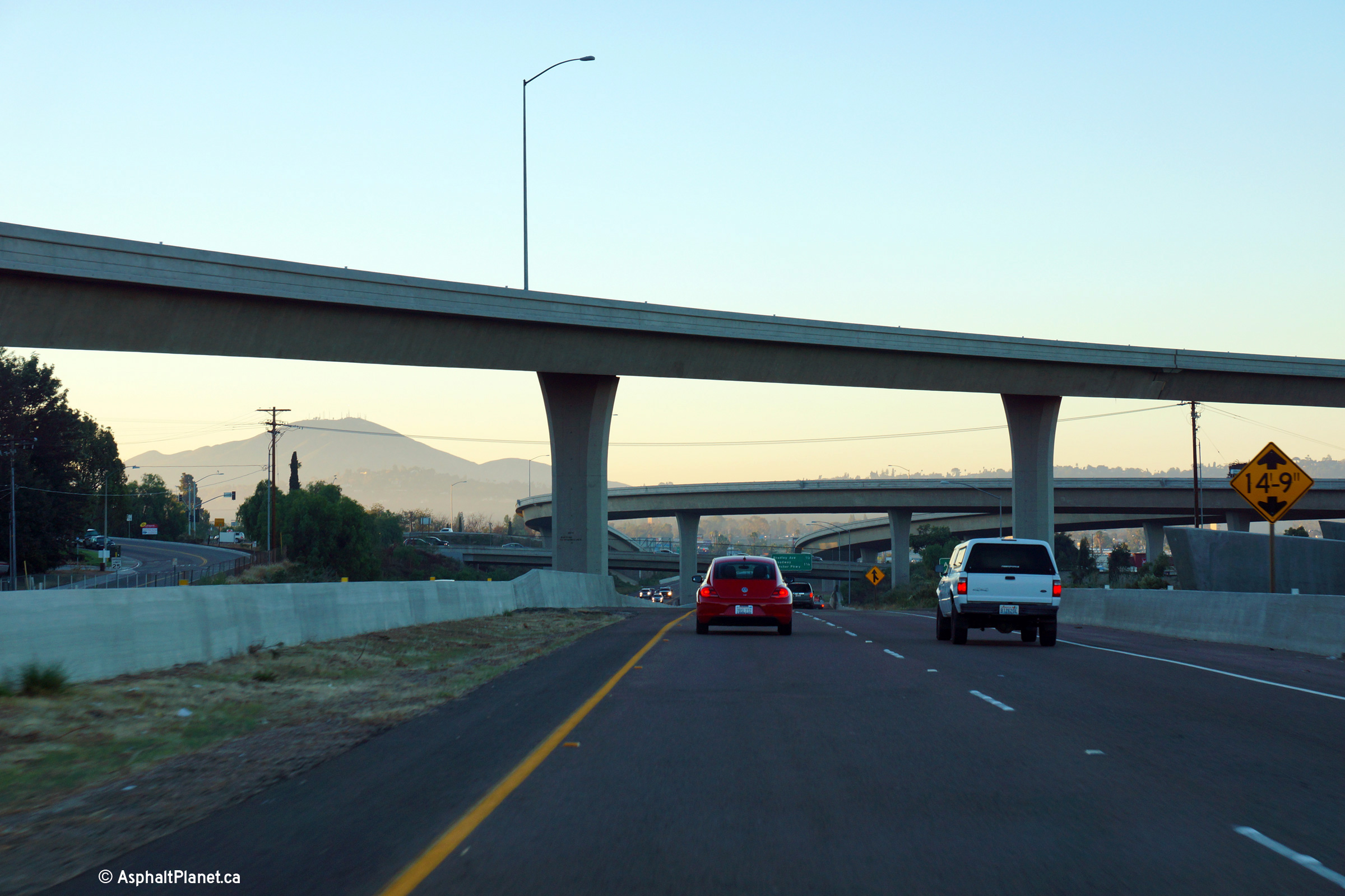
San Diego County |
This view looks northerly as SR-67 passes beneath the Bradley Avenue overpass. |
 |
||
|
Date: 10/31/2013 |
High-res: (1440x960) (2400x1600) |
|||
|
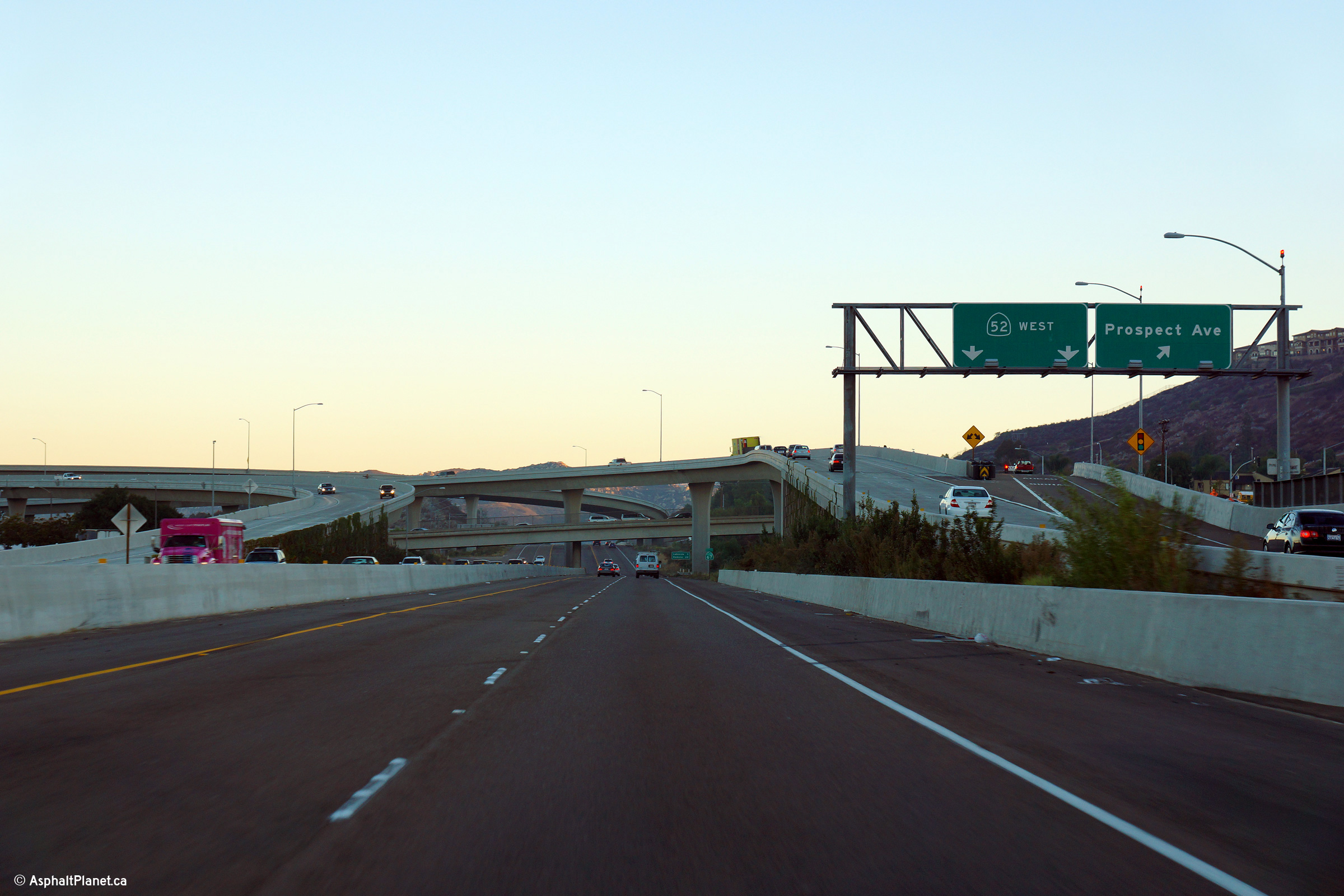
San Diego County |
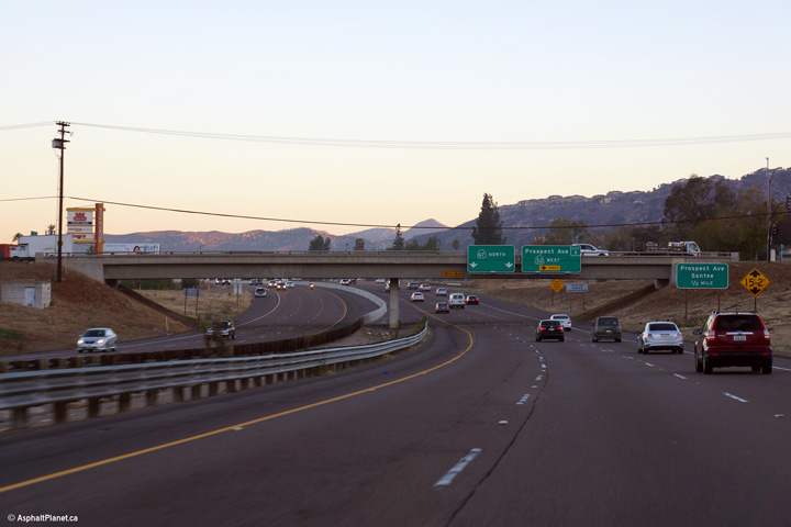
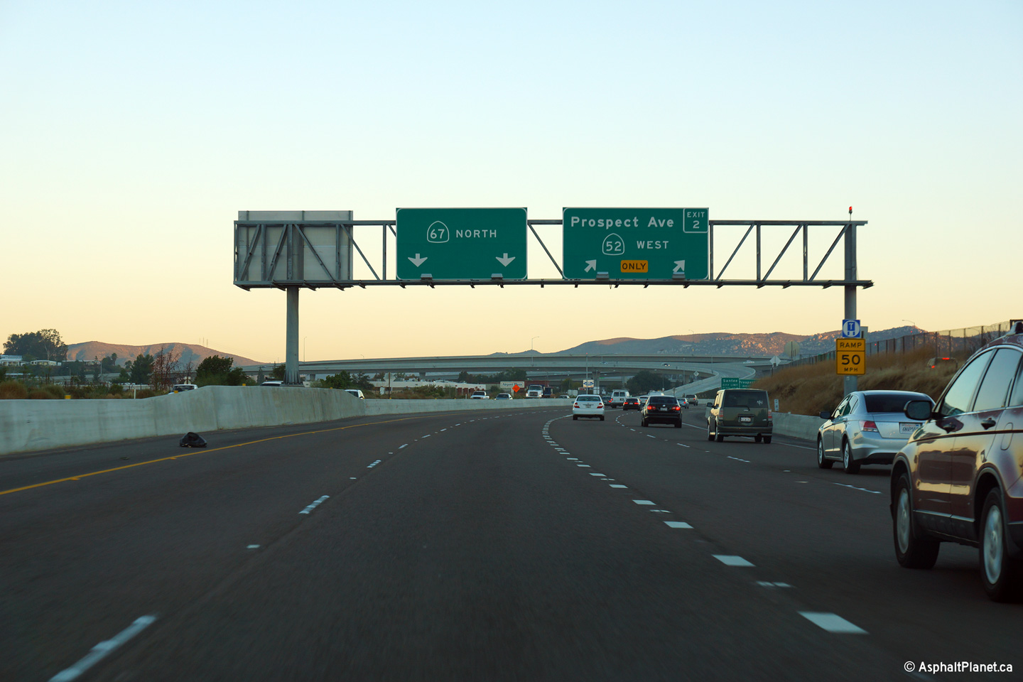
Overhead signage at the off-ramp to both State Route 52 and Prospect Avenue. |
 |
||
|
Date: 10/31/2013 |
High-res: (1440x960) (2400x1600) |
|||
|
San Diego County |
View just looking through the State Route 52 interchange along State Route 67 North. |
 |
||
|
Date: 10/31/2013 |
High-res: (1440x960) (2400x1600) | |||
|
San Diego County |
This view looks southerly as Highway 67 passes beneath both the Prospect Avenue interchange and the ramps linking Highway 52 to Highway 67 South. |
 |
||
|
Date: 10/31/2013 |
High-res: (1440x960) (2400x1600) | |||
|
San Diego County |
Southerly view beneath the high level ramp that carries traffic from CA-52 East to CA-67 North. |
 |
||
|
Date: 10/31/2013 |
High-res: (1440x960) (2400x1600) | |||
|
San Diego County |
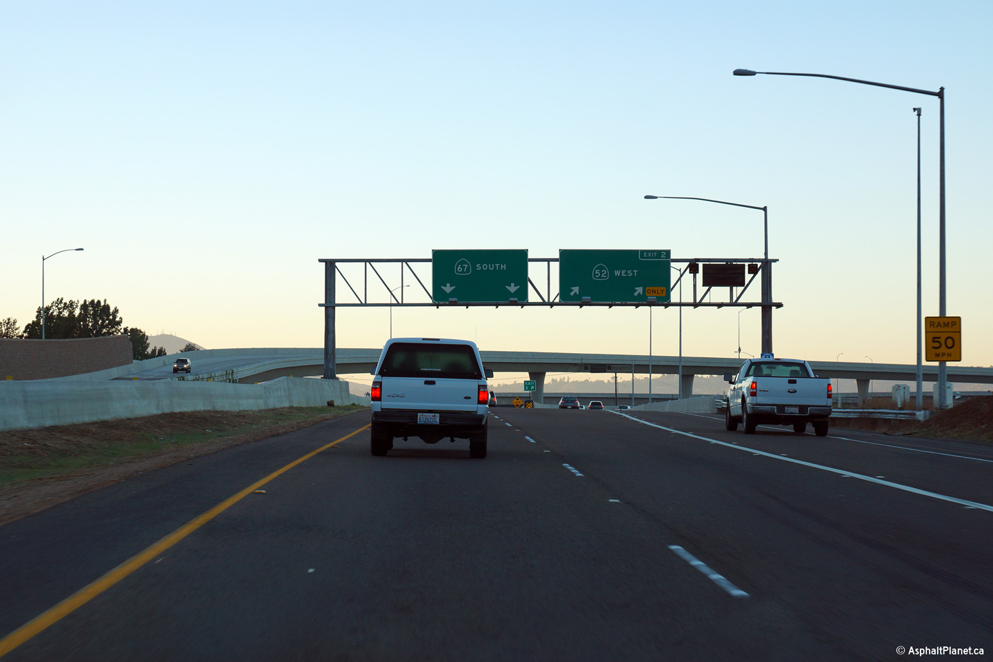
Overhead signage for the ramp to Highway 52 from Highway 67 South. |
 |
||
|
Date: 10/31/2013 |
High-res: (1440x960) (2400x1600) | |||
|
San Diego County |
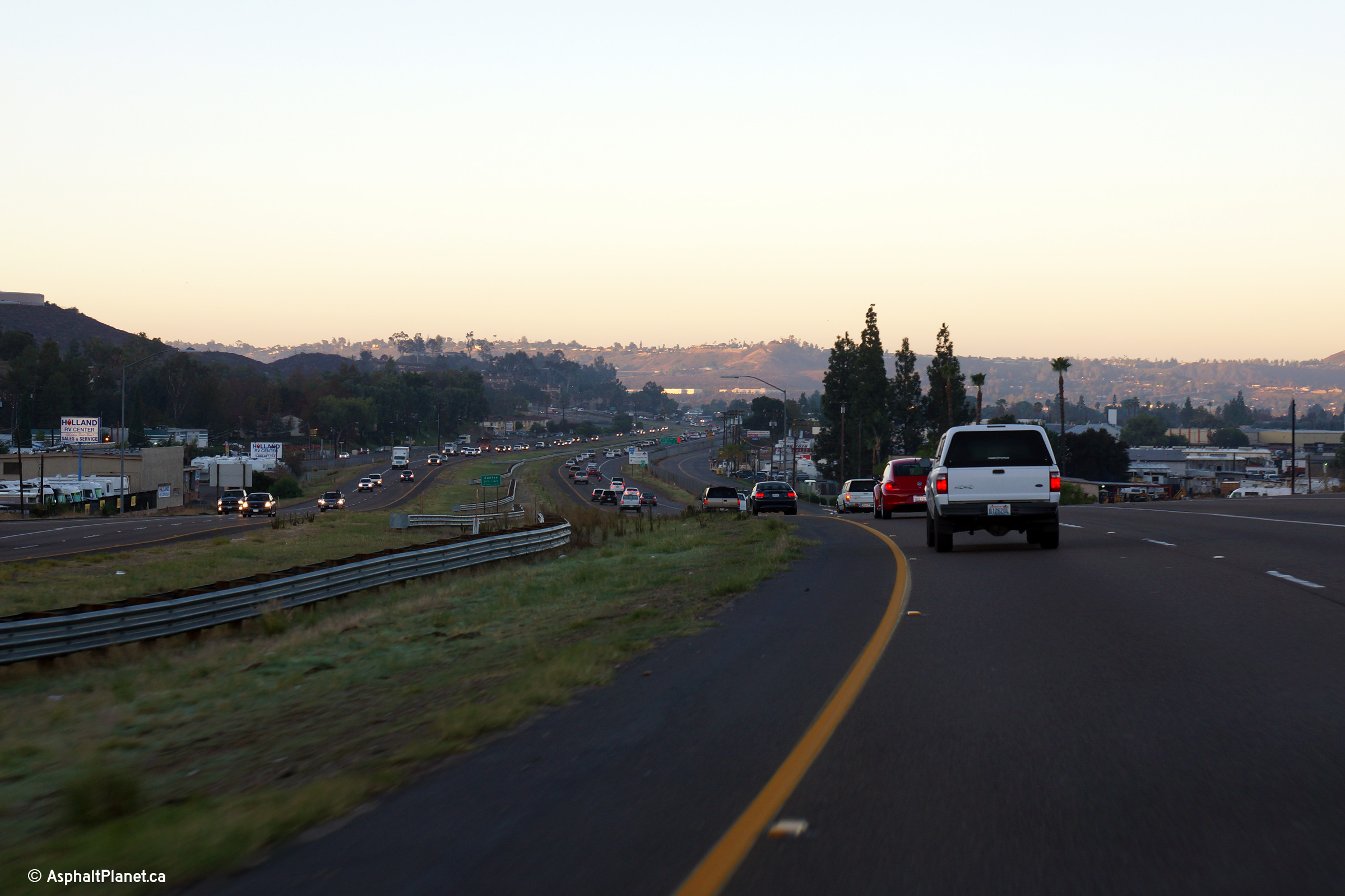
Southerly view along State Route 67 just south of the Riverford Road underpass. |
 |
||
|
Date: 10/31/2013 |
High-res: (1440x960) (2400x1600) | |||
<- CA-66
CA Highways
CA-68 ->
AsphaltPlanet.ca
© 2010-13 AsphaltPlanet.ca.
Scott@asphaltplanet.ca
Page Created: January 28, 2014.
Last Updated: January 28, 2014.