AsphaltPlanet.ca > California > Interstate 8
Pictures on this page are arranged in order from west to east. I-8 East
photos are left-aligned in the last column, while I-8 West photos are right-aligned.
Center-line pictures are centered within the last column.
|
Location |
Description |
Photo |
||
|
East- |
West- |
|||
|
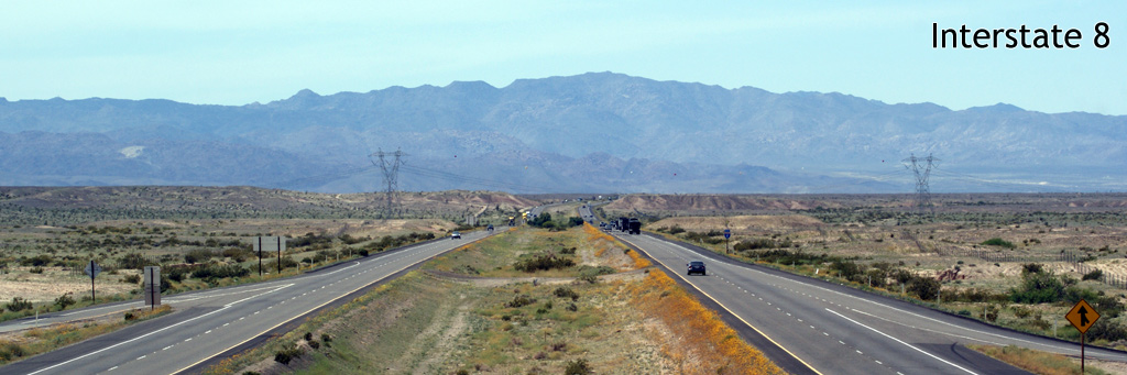
San Diego County |
This view looks westerly past Kitchen Creek Road as Interstate 8 as the freeway leads westerly towards San Diego. Interstate 8 passes between Long Valley Peak and Sheephead Mountain en route to Pine Valley. |
 |
||
|
Date: 4/07/2010 |
||||
|
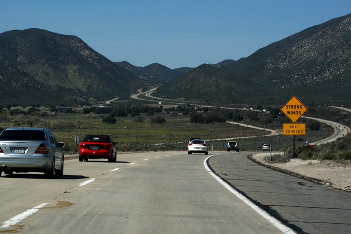
San Diego County |
Advanced signage for Exit #73. Exit 73 accesses Carrizo Gorge Road, which is a short short-cut route that leads between Interstate 8 and Old US Highway 80. |
 |
||
|
Date: 3/26/2010 |
||||
|
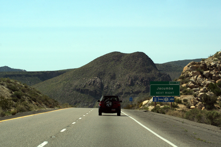
Imperial County |
This view looks easterly from just east of the Old Highway 80 interchange, just as Interstate 8 begins its journey to the bottom of the Jacumba Mountains. The Coyote Mountain's are visible in the distance. |
 |
||
|
Date: 3/26/2010 |
||||
|
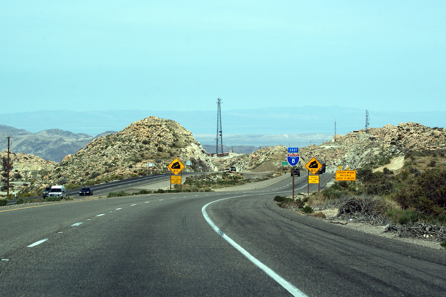
Imperial County |
Easterly view as Interstate 8 continues its trek down from the Jacumba Mountains through In-Ko-Pah Gorge to the bottom of the Imperial Valley. It is at about this time during the trek down the mountainside that the common traveler remarks to themselves that its a shame giant boulders don't have more modern-day usefulness. |
 |
||
|
Date: 3/26/2010 |
High-res: (1440x960) (2400x1600) |
|||
|
Imperial County |
View looking westerly from about a half mile west the Highway 98 interchange. The westbound carriageway splits from the eastbound carriageway for the ascent into the Jacumba Mountains. The westbound carriageway follows Devils Canyon, while the eastbound lanes descend from the mountains via In-Ko-Pah George. The original US-80 alignment followed In-Ko-Pah Gorge. |
 |
||
|
Date: 3/26/2010 |
High-res | |||
|
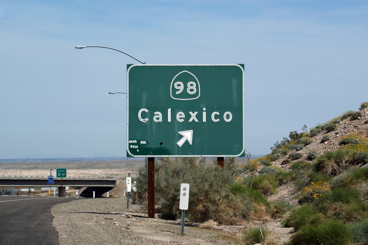
Imperial County |
Button copy signage for Highway 98 to Calexico. Highway 98 is a loop road that runs east a few miles north of the USA/Mexico Boundary, before rejoining Interstate 8 at the eastern end of the Imperial Valley. |
 |
||
|
Date: 3/26/2010 |
||||
|
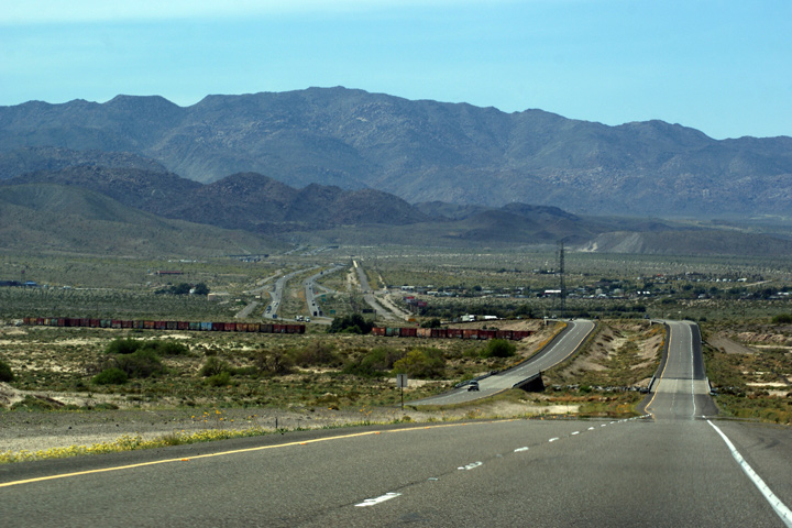
Imperial County |
This view looks westerly as the interstate descends into a shallow valley. Interstate 8 crosses the pictures SDIY Railway in the valley. The SDIY Railway links El Centro in the Imperial Valley to San Diego on the coast. The rugged mountain landscape pushes the railway a considerable distance into Mexico before the railway finally reaches San Diego. |
 |
||
|
Date: 3/26/2010 |
High-res: (1440x960) (2400x1600) | |||
|
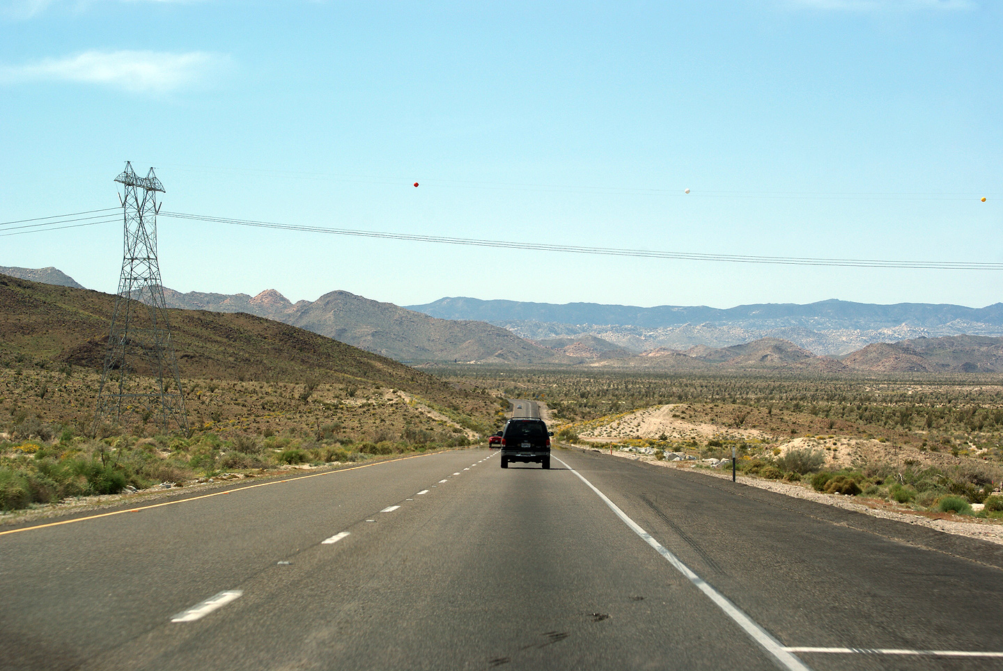
Imperial County |
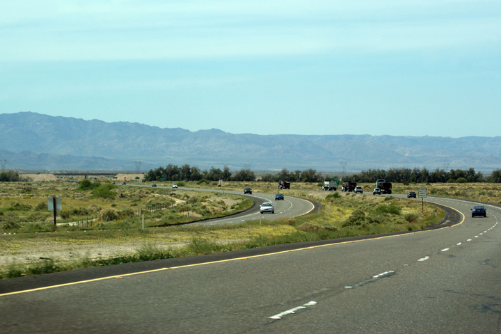
Westerly view from Dunaway Road. The Jacumba Mountains dominate the landscape ahead of westbound traffic. |
 |
||
|
Date: 3/26/2010 |
High-res | |||
|
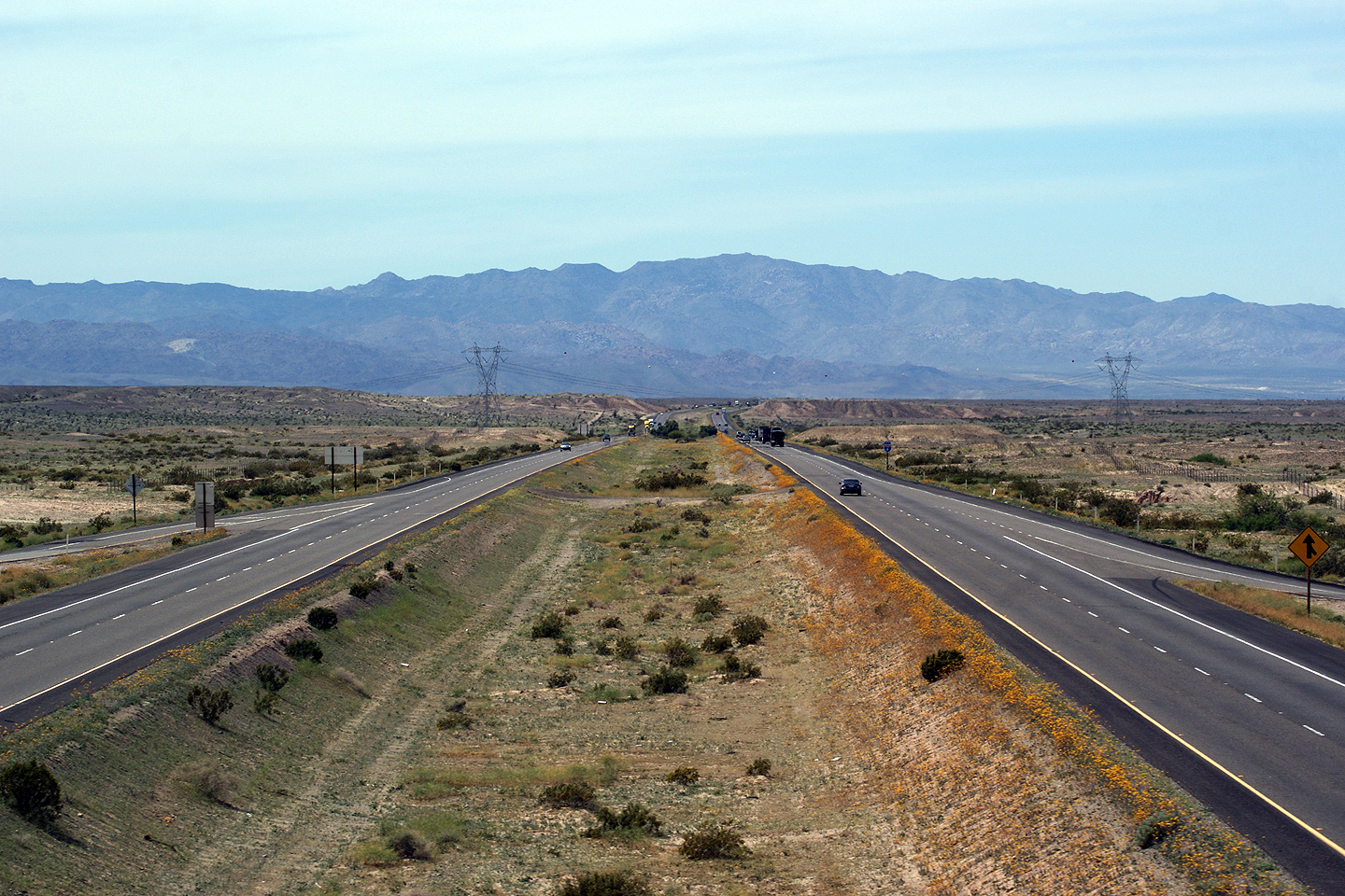
Imperial County |
Easterly view from Dunaway Road. Contrast the flat Imperial Valley to the Jacumba Mountains that are visible in the previous shot. As the Interstate progresses further easterly into the Imperial Valley, the valley is irrigated with water siphoned from the Colorado River and is used as very productive farmland. |
 |
||
|
Date: 3/26/2010 |
High-res | |||
|
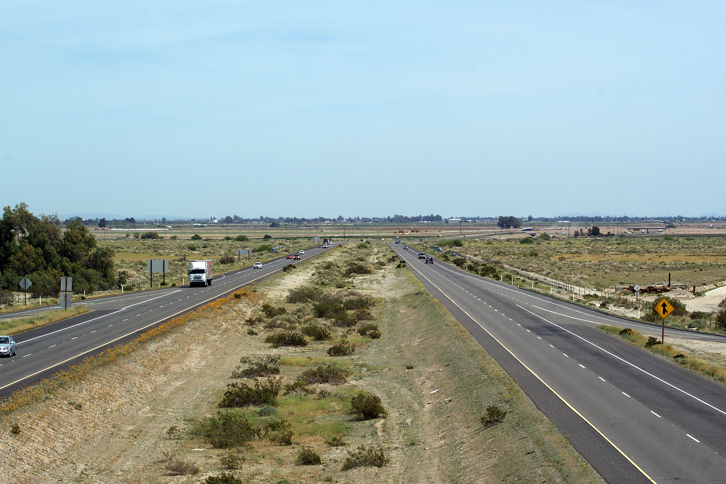
Imperial County |
View looking westerly from highway level towards the Dunaway Road interchange. All of my photos from Interstate 8 appear a tad blurry. The images were shot on a hot day in the dessert; the heat tends to bend the light surrounding the freeway in such a way that slightly jagged lines are captured with a telephoto lens |
 |
||
|
Date: 3/26/2010 |
||||
|
Imperial County |
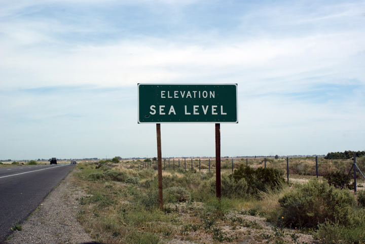
Signage along Interstate 8 alerting drivers that they are at Sea Level. The Imperial Valley is landlocked by mountains from the Ocean, and it is so dry that any water that lands here generally evaporates. Much of the Imperial Valley is considerably below sea level. |
 |
||
|
Date: 3/26/2010 |
||||
|
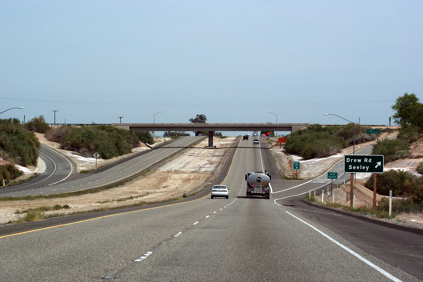
Imperial County |
Exit signage for the ramp to Drew Road. Interstate 8 crosses the New River in the photo as well. The New River is quite a bit below Seal Level in this photo. Drew Road represents the original alignment of California Highway 98. |
 |
||
|
Date: 3/26/2010 |
High-res | |||
|
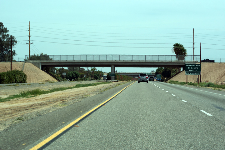
Imperial County City of El Centro |
Advanced signage for Imperial Avenue in front of the La Brucherie Road overpass. Note that the signage for Imperial Avenue includes an Interstate 8 Business Route. Business Route 8 is a short highway that serves the historic business centre of El Centro. |
 |
||
|
Date: 3/26/2010 |
||||
|
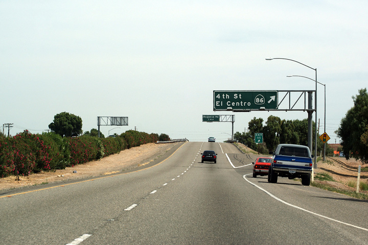
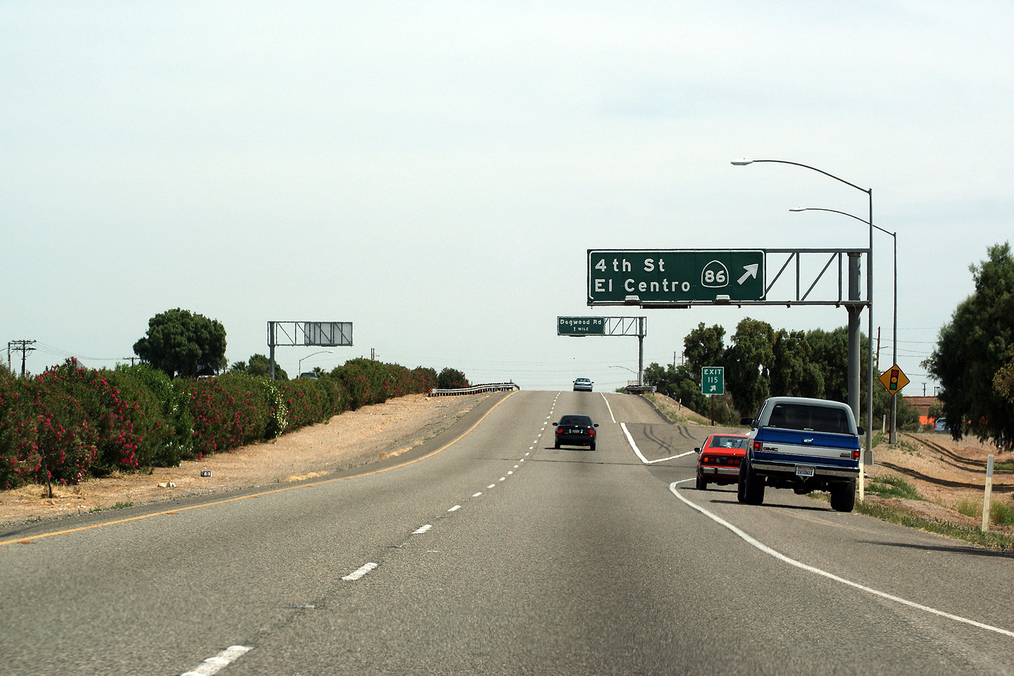
Imperial County City of El Centro |
Exit signage for Highway 86. |
 |
||
|
Date: 3/26/2010 |
||||
|
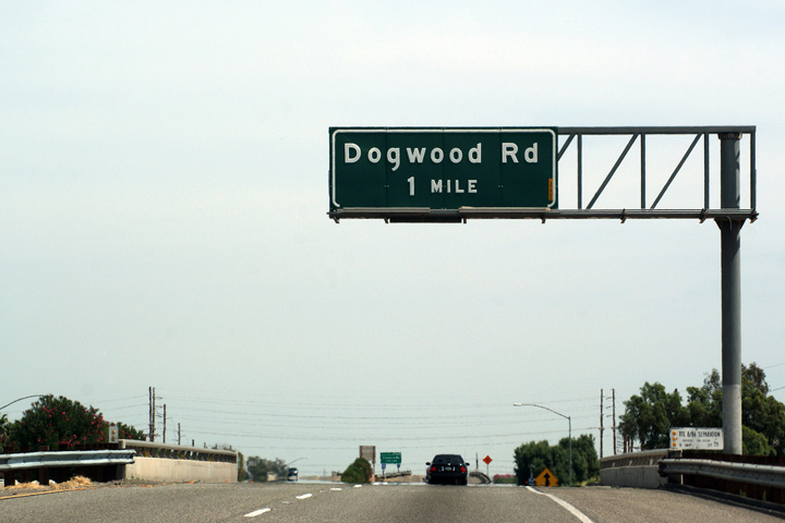
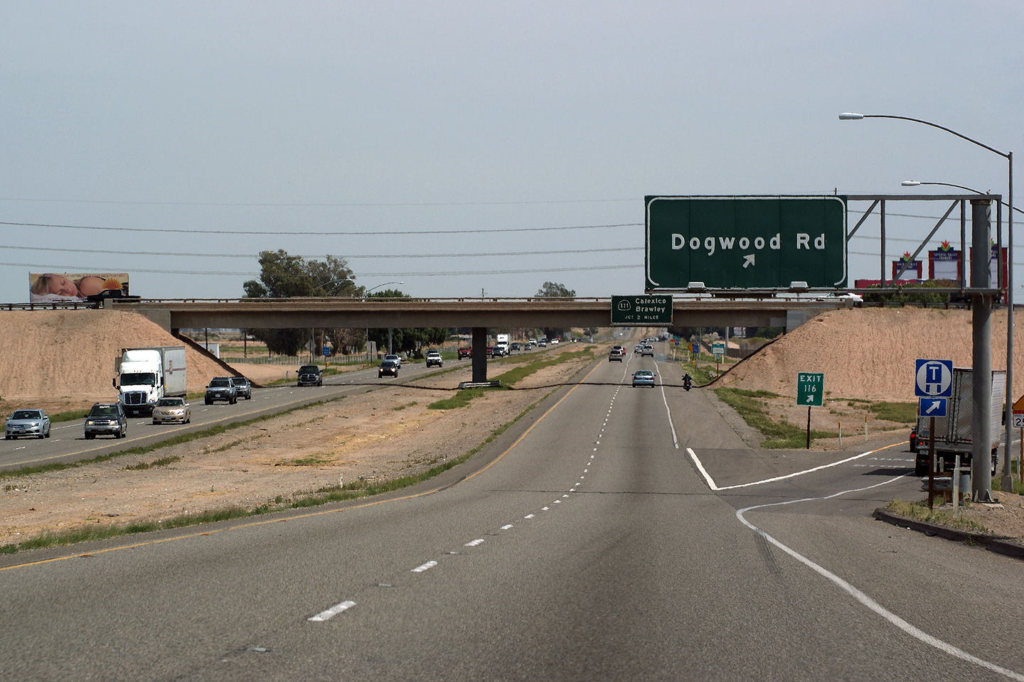
Imperial County City of El Centro |
Button copy advanced signage for the Dogwood Road interchange situated overtop of the interstate as I-8 passes over the Highway 86 underpass. |
 |
||
|
Date: 3/26/2010 |
High-res | |||
|
Imperial County City of El Centro |
Signage at the eastbound exit to Dogwood Road. An advanced sign for the Route 111 interchange is visible affixed to the Dogwood Road overpass. |
 |
||
|
Date: 7/10/2009 |
High-res | |||
|
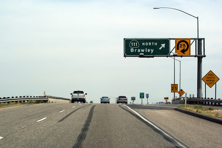
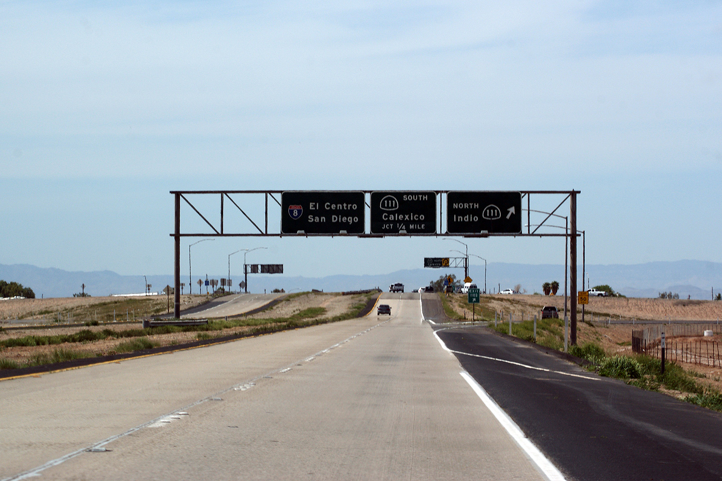
Imperial County |
Partial overhead gantry directing traffic to Route 111 North, back towards Brawley. Route 111 parallel's Highway 86 for virtually the entire length of both routes. Highway 86 follows the west bank of the Salton Sea, and is far and away the preferred route between Interstate 10 and Brawley. However, at Interstate 8, Highway 111, is a four lane divided highway, and is far more important then Highway 86. |
 |
||
|
Date: 7/10/2009 |
||||
|
Imperial County |
Westbound partial gantry for Route 111 south to Calexico. Route 111 serves the Calexico Border crossing. Route 111 is the first US border crossing station easterly from the San Diego area crossings. |
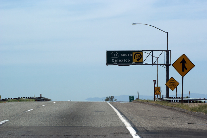 |
||
|
Date: 3/26/2010 |
||||
|
Imperial County |
Pass-through signage in advance of the Highway 111 cloverleaf interchange. Highway 111 is a four lane highway in the south of Imperial County. It is four lanes south of Highway 78, into Calexico. The highway is four lanes through Calexico, however it is a conventional city street right to the US Border Station. On the Mexican side of the border, Route 111 becomes Mexican Highway 5, which is again, a conventional city street through Mexicali. |
 |
||
|
Date: 3/26/2010 |
||||
|
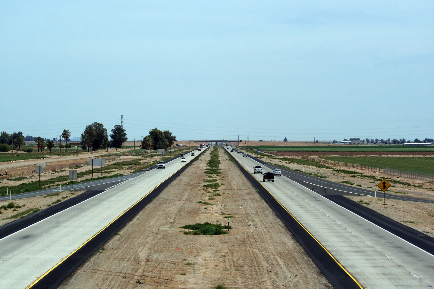
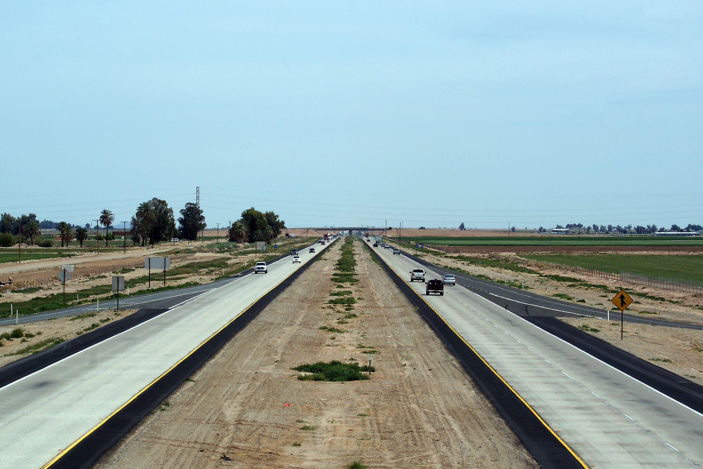
Imperial County |
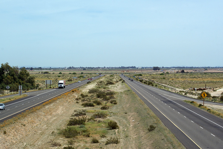
Easterly view of Interstate 8 from the Bowker Road overpass. The irrigated lane of the imperial valley continues for about 10 miles before Interstate 8 climbs to the east Mesa. From Bowker Road it is about 50 miles to Yuma, Arizona. |
 |
||
|
Date: 7/10/2009 |
High-res: (1440x960) (2400x1600) | |||
<- I-5
CA Highways
I-10 ->
AsphaltPlanet.ca
© 2010 AsphaltPlanet.ca.
AsphaltPlanet@asphaltplanet.ca
Page Created: April 22, 2010.
Last Updated: April 22, 2010.