AsphaltPlanet.ca > Georgia > Connector 141
Pictures on
this page are arranged in order from south to north. GA-141 Connector East photos
are left-aligned in the last column, while GA-141 Connector West photos are right-aligned.
Center-line pictures are centered within the last column.
|
Location |
Description |
Photo |
||
|
East- |
West- |
|||
|
Georgia Toll Route 400 is a north-south highway that serves the Greater Buckhead area between I-85 and I-285. Click here for Route 400 images. |
||||
|
Fulton County |
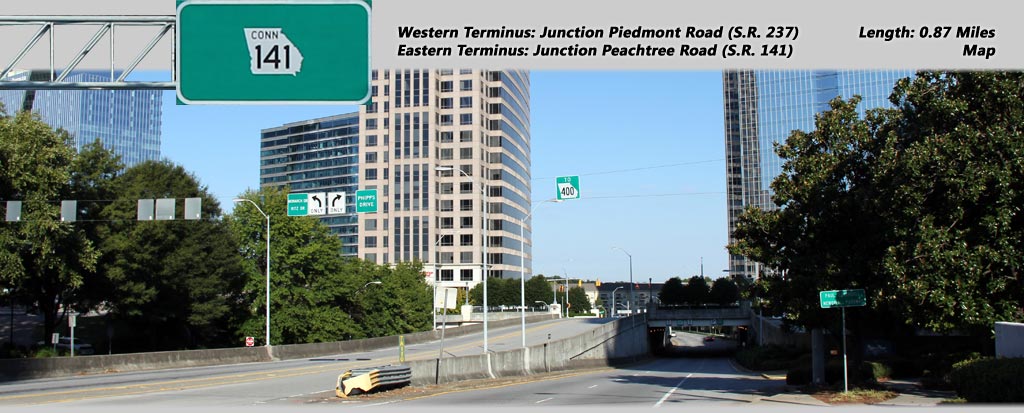
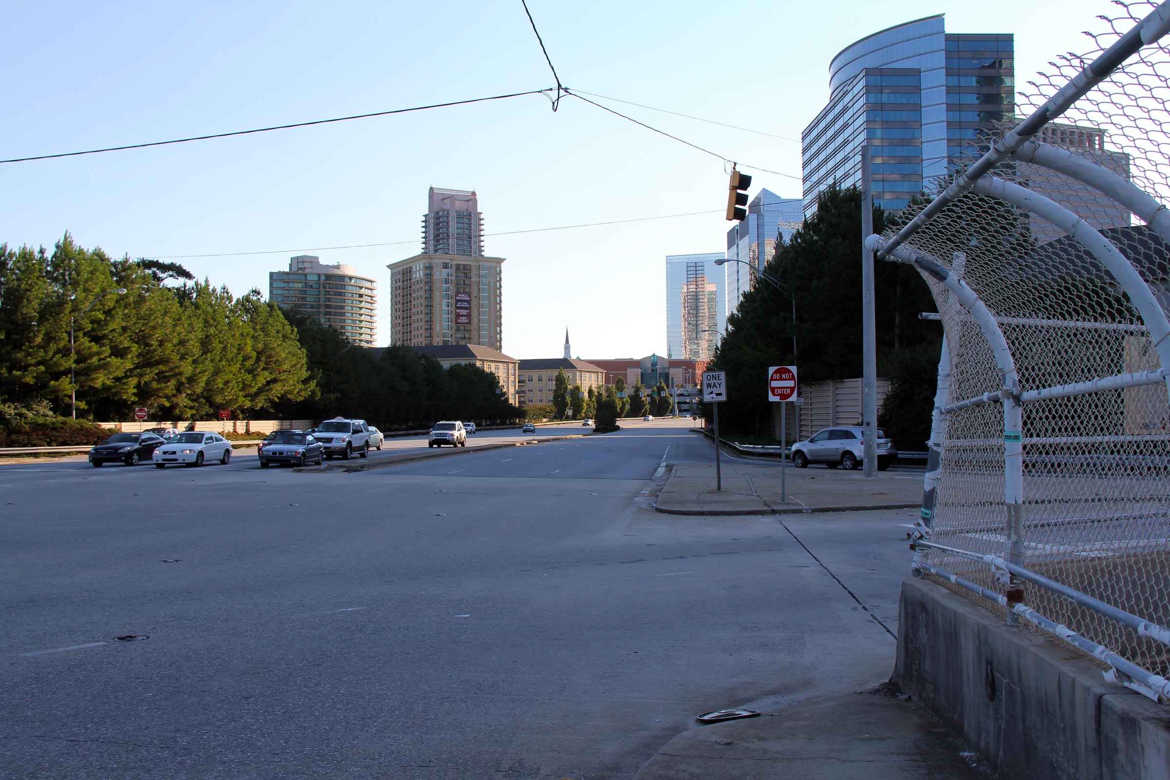
Easterly view along Lenox Road (Highway 141 Connector) from mid-span of the Highway 400 Toll overpass. Highway 141 Connector intersects Highway 400 Toll at a busy single point urban interchange (SPUI). |
 |
||
|
Date: 10/3/2010 |
High-res: (1440x960) (2400x1600) | |||
|
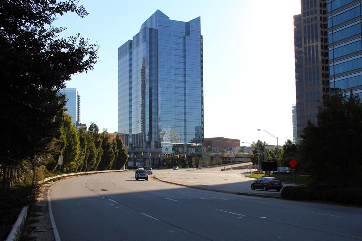
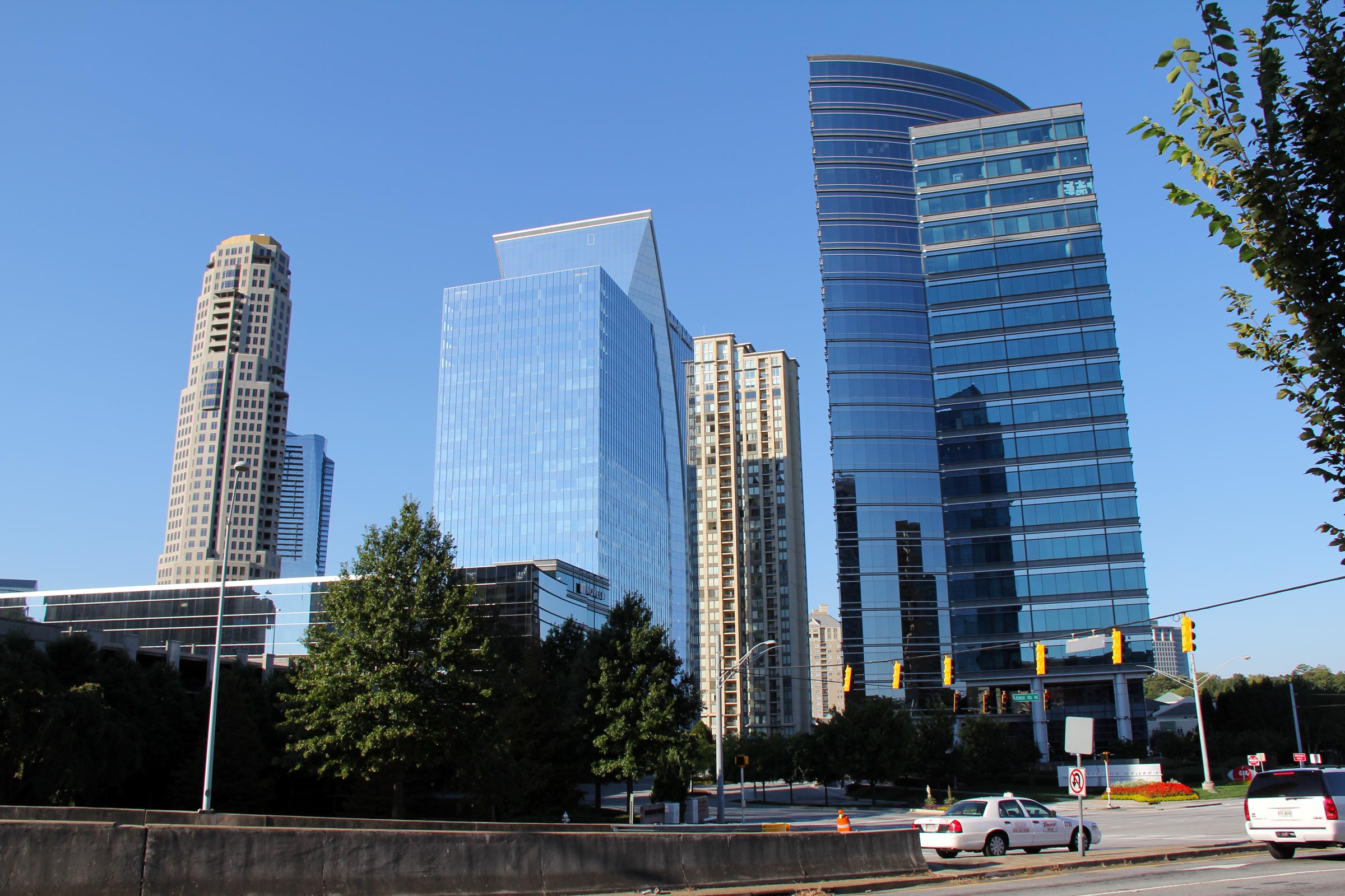
Fulton County |
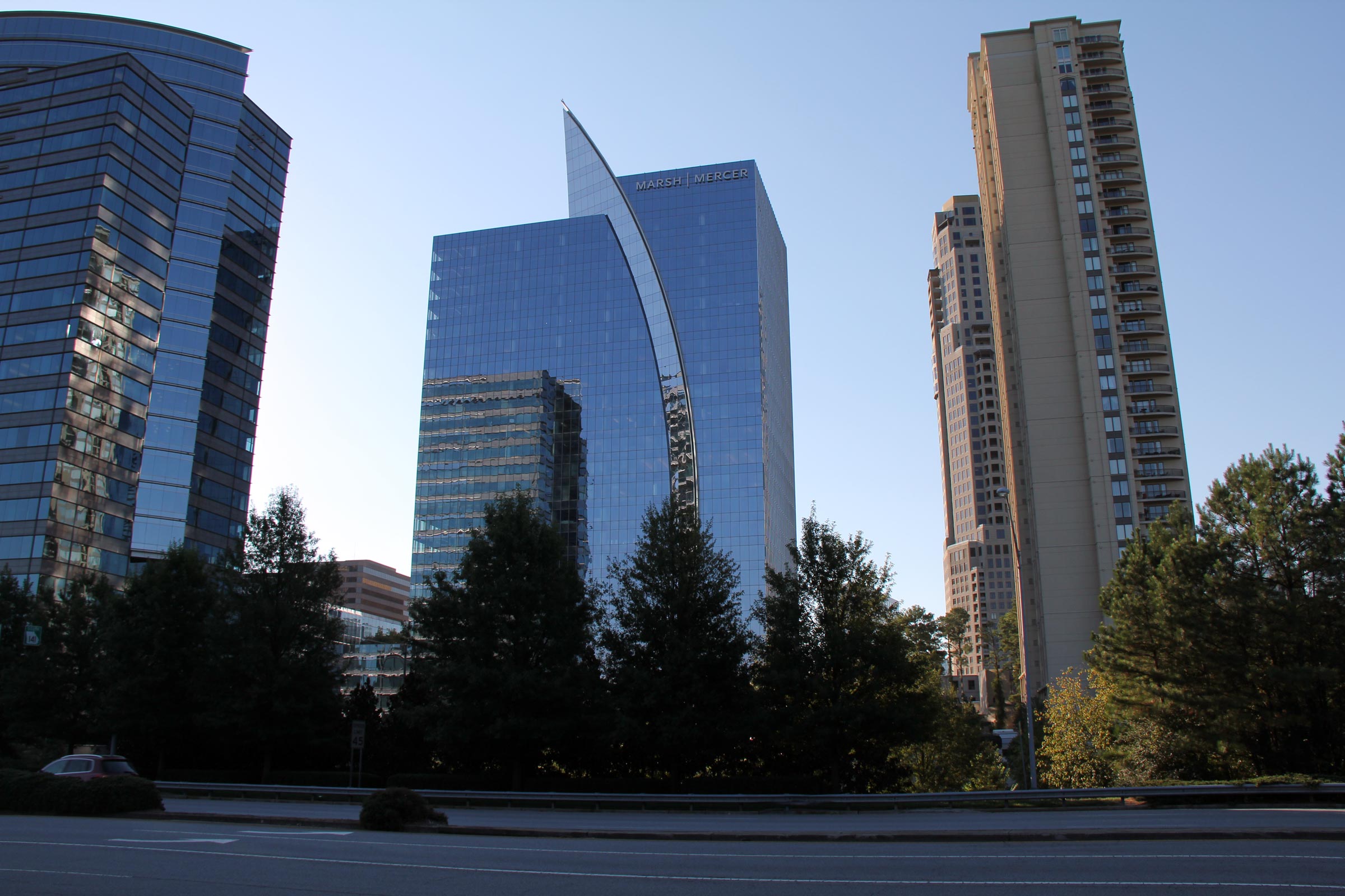
View of some of Buckhead's more predominant buildings that line the south side of Lenox Road. Buckhead contains numerous high-rise office buildings, condominiums and hotels. The City of (Suburb of) Buckhead is a very desirable part of the Atlanta Metro. |
 |
||
|
Date: 10/3/2010 |
High-res: (1440x960) (2400x1600) | |||
|
Fulton County |
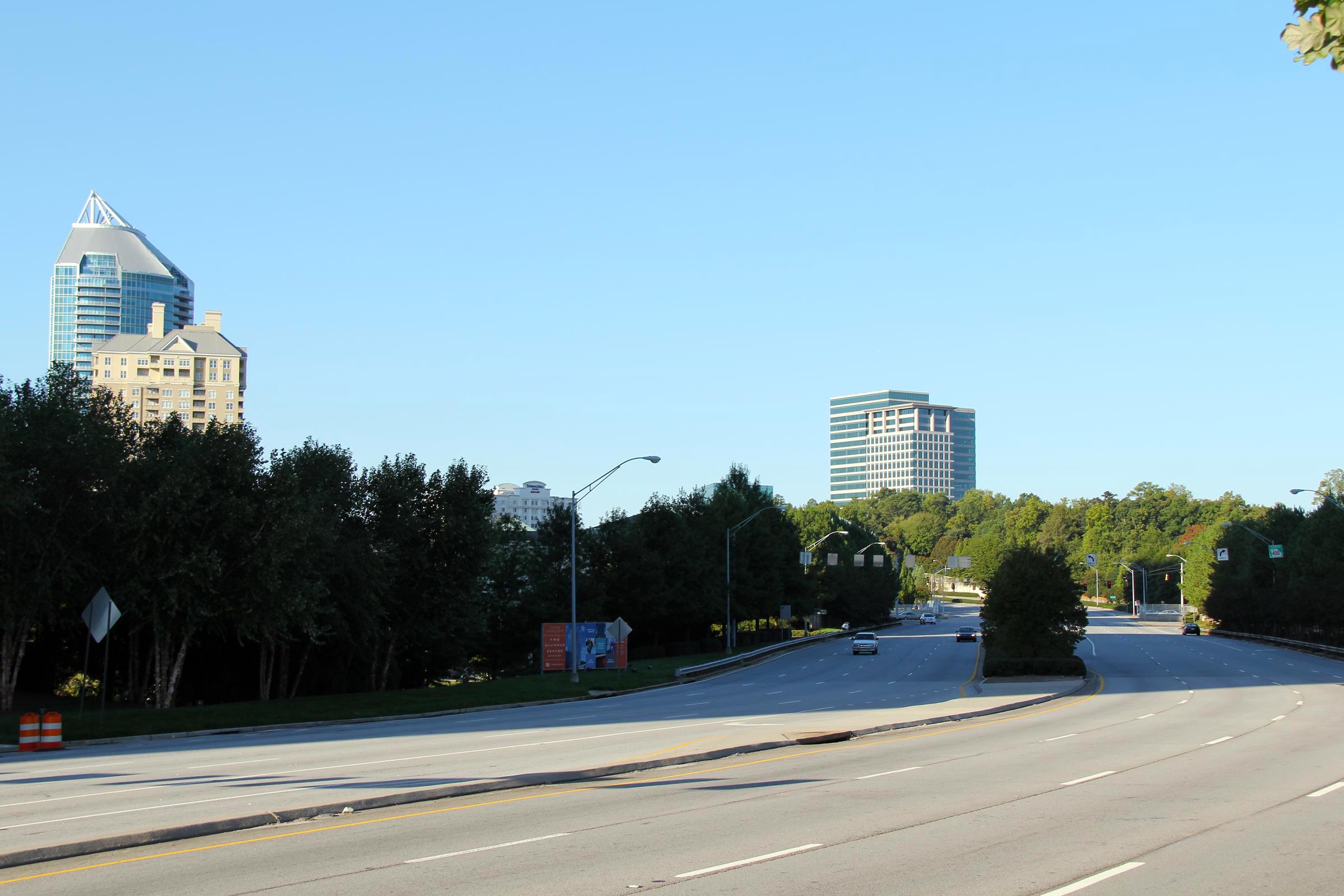
Two views looking westerly along Lennox Road towards the Toll Route 400 interchange. As is evident in the photos, Lennox Road is a beautifully landscaped divided boulevard for much of its short routing through Buckhead. What is missing however, are sidewalks. There are absolutely no pedestrian facilities along Lennox Road in the vicinity of the Highway 400 interchange. |
 |
||
| High-res: (1440x960) (2400x1600) | ||||
 |
||||
|
Date: 10/3/2010 |
High-res: (1440x960) (2400x1600) | |||
|
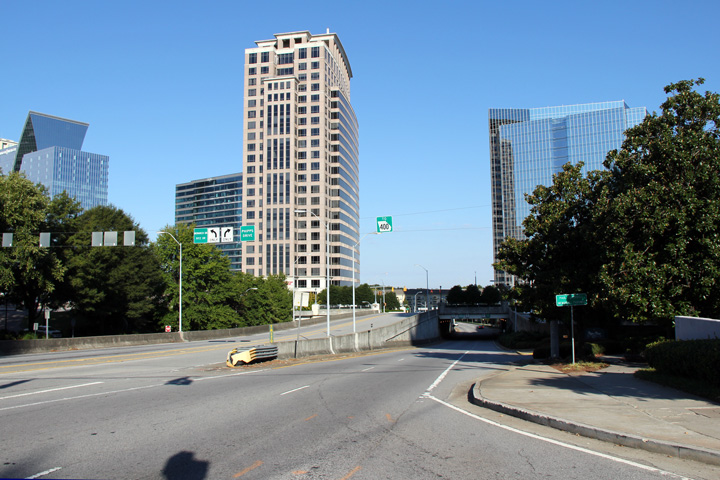
Fulton County |
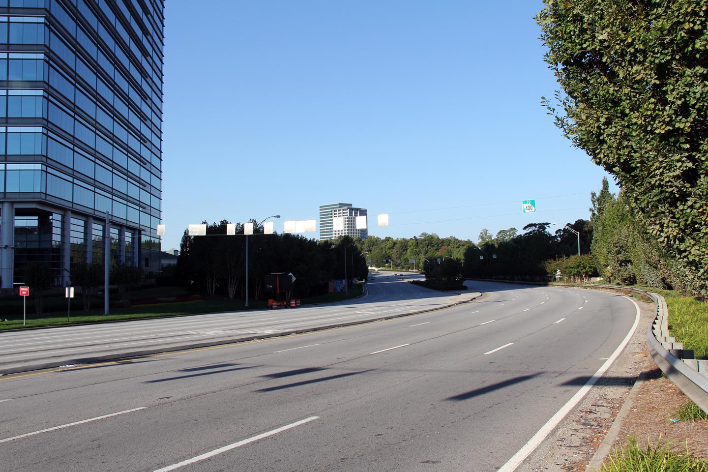
Easterly view along Lenox Road approaching Phipps Boulevard intersection. |
 |
||
|
Date: 10/3/2010 |
High-res: (1440x960) (2400x1600) | |||
|
Fulton County |
View of some of Buckhead's tall buildings that are adjacent to Toll Highway 400 and the Buckhead Marta Station from Connector Route 141. Buckhead's Downtown area is not as substantial as the City of Atlanta proper's, however it is impressive nevertheless. |
|
||
|
Date: 10/3/2010 |
High-res: (1440x960) (2400x1600) | |||
|
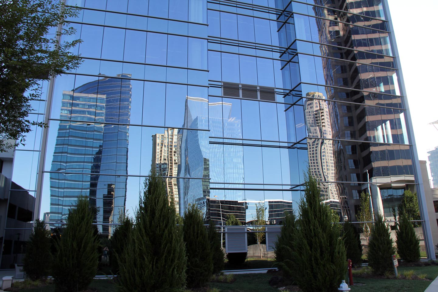
Fulton County |
Buildings reflected in structural glass of the Phipps Place office tower. The City of Buckhead has an impressive urban cityscape. |
 |
||
|
Date: 10/3/2010 |
High-res: (1440x960) (2400x1600) | |||
|
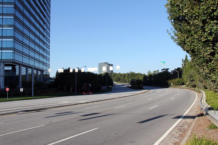
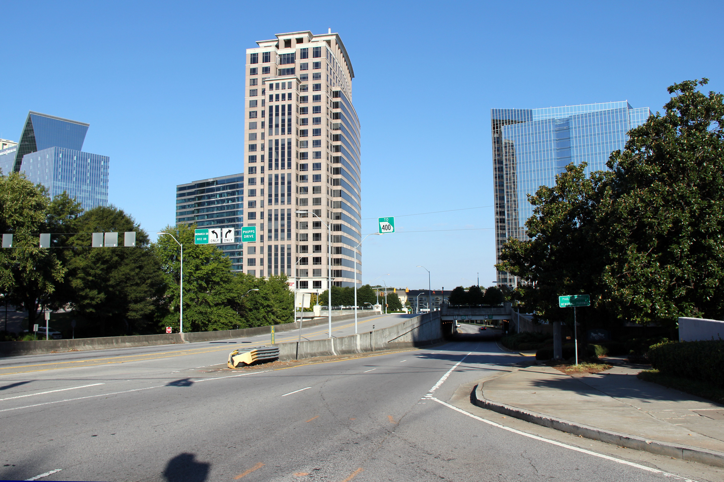
Fulton County |
Westerly view from the Peachtree Road intersection in Buckhead. Lenox Road meets a private road servicing a commercial plaza and commercial office tower at an elevated intersection. Buckhead's transportation system is quite modern and handles vehicles efficiently. |
|
||
|
Date: 10/2/2010 |
High-res: (1440x960) (2400x1600) | |||
|
Peachtree Street is State Route 141, a medium length highway that runs through the northeast of Atlanta's suburbs. Click here for GA 141 images. |
||||
<- GA-141
GA Highways
GA-142 ->
Asphaltplanet.ca
© 2010-2011 AsphaltPlanet.ca.
AsphaltPlanet@asphaltplanet.ca
Page Created: April 19, 2011.
Last Updated: April 19, 2011.
