AsphaltPlanet.ca > Michigan > Interstate 94 > Page 1
|
Interstate 94
(Michigan) |
| <- I-94 (IN) |
|
Page 2 -> |
Pictures are arranged in order from
west to east.
I-94 East photos are
left-aligned in the last column, while I-94 West photos are right-aligned.
Center-line pictures are centered within the last column.
|
Location |
Description |
Photo |
||
|
East- |
West- Bound |
|||
|
I-94 continues southwesterly into Indiana. Click here for I-94 photos into Indiana. (Coming) |
||||
|
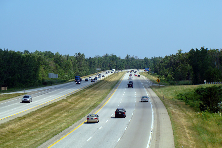
Berrien County |
View looking west along I-94 from the John Beers Rd. overpass just southwest of Benton Harbor. John Beers Rd. services the large Grand Mere State Park. |
|
||
|
Date: 7/06/2008 |
High-res: (1440x960) | |||
|
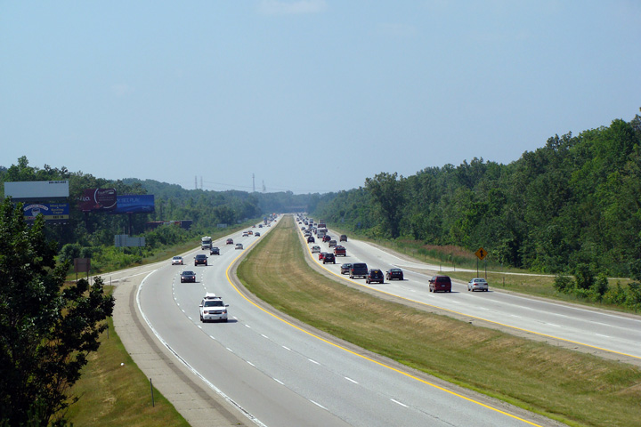
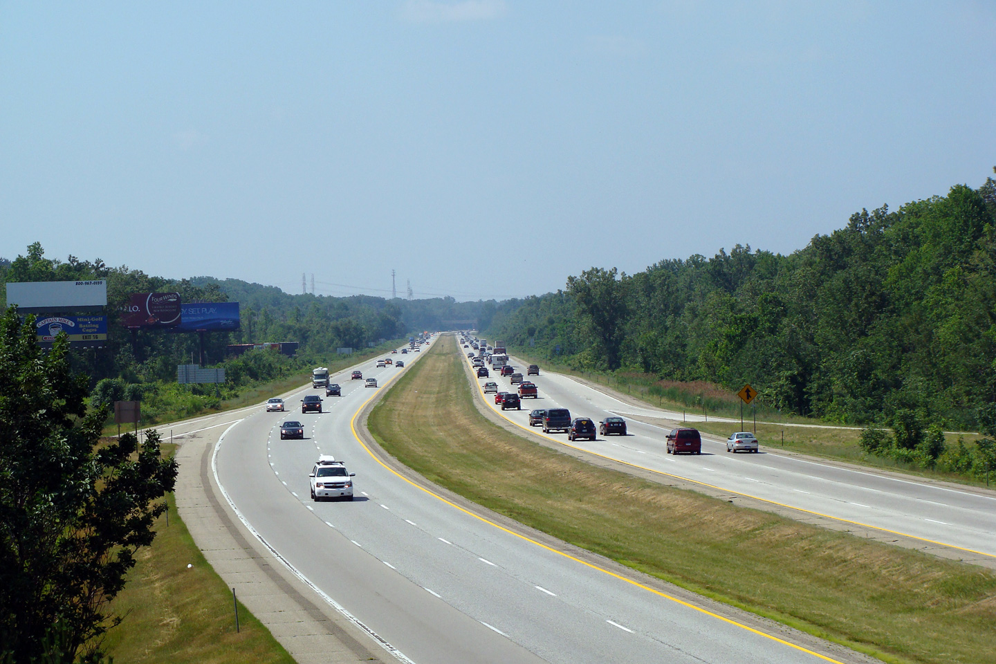
Berrien County |
View looking easterly from the John Beers Rd. overpass. I-94 maintains a six lane cross-section between the Indiana State Line and the I-196 interchange |
 |
||
|
Date: 7/06/2008 |
High-res: (1440x960) | |||
|
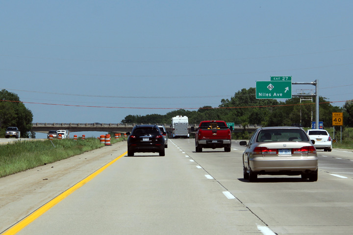
Berrien County |
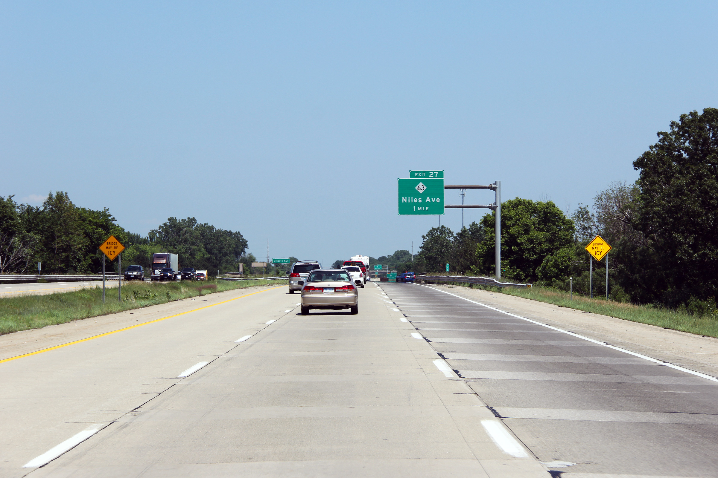
Eastbound advanced signage for the M-63 interchange. The concrete repairs that have been completed in the right hand lane give the interstate an almost checkerboard appearance. |

|
||
|
Date: 6/26/2011 |
High-res: (1440x960) (2400x1600) |
|||
|
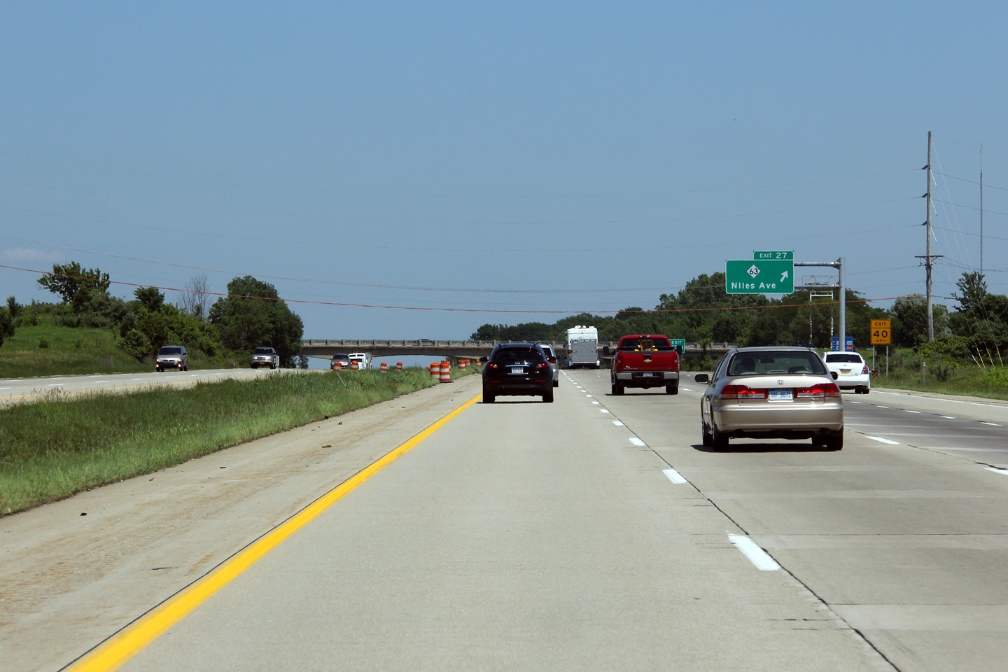
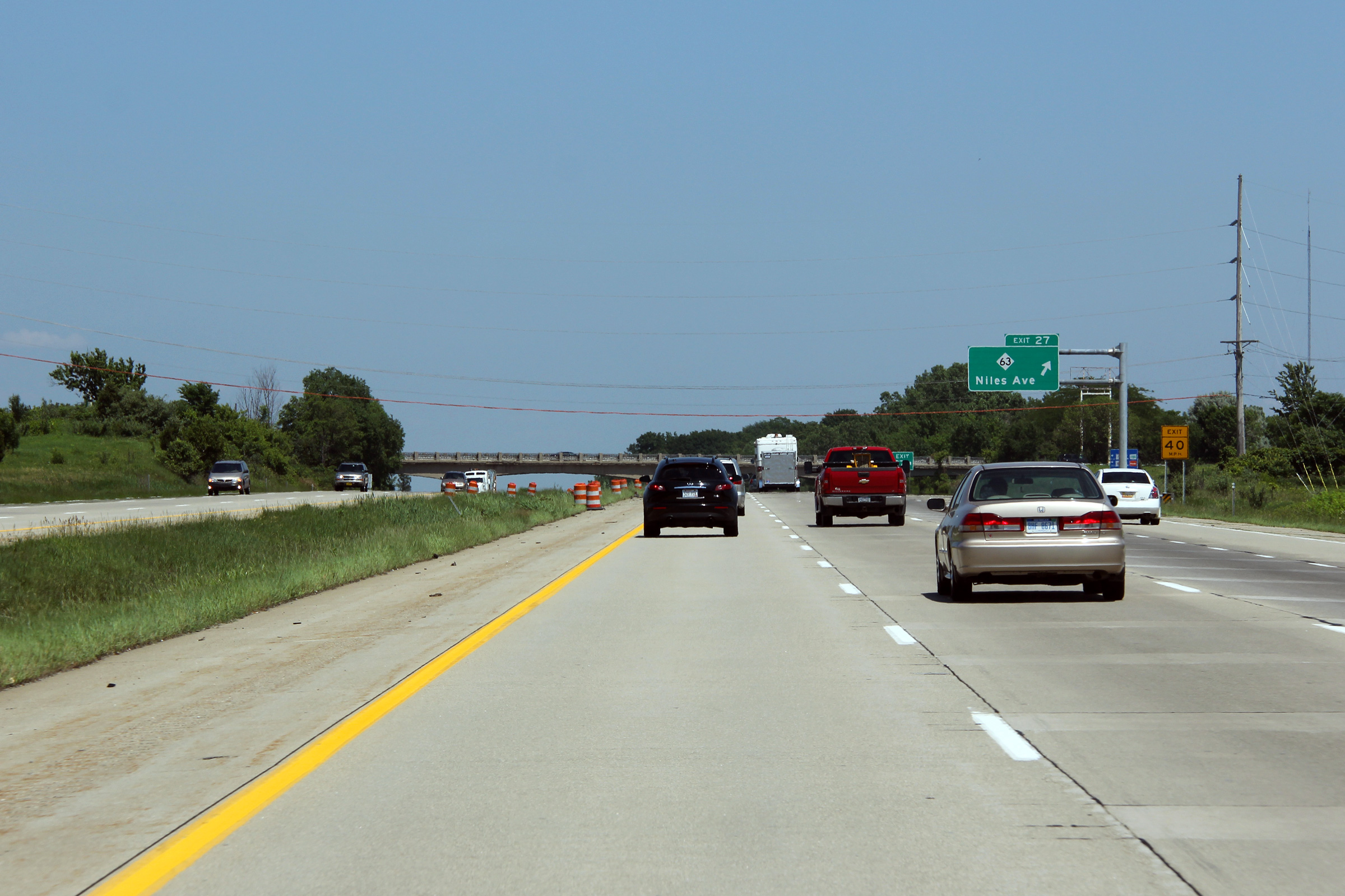
Berrien County |
Eastbound signage at the M-63 interchange. |
|
||
|
Date: 6/26/2011 |
High-res: (1440x960) (2400x1600) |
|||
|
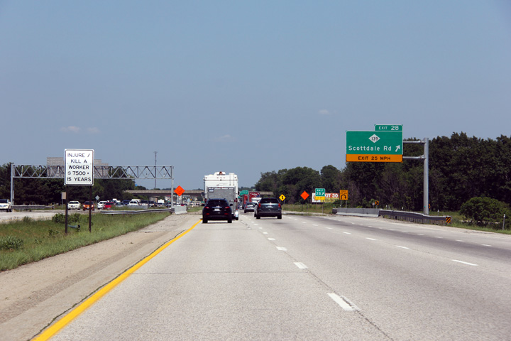
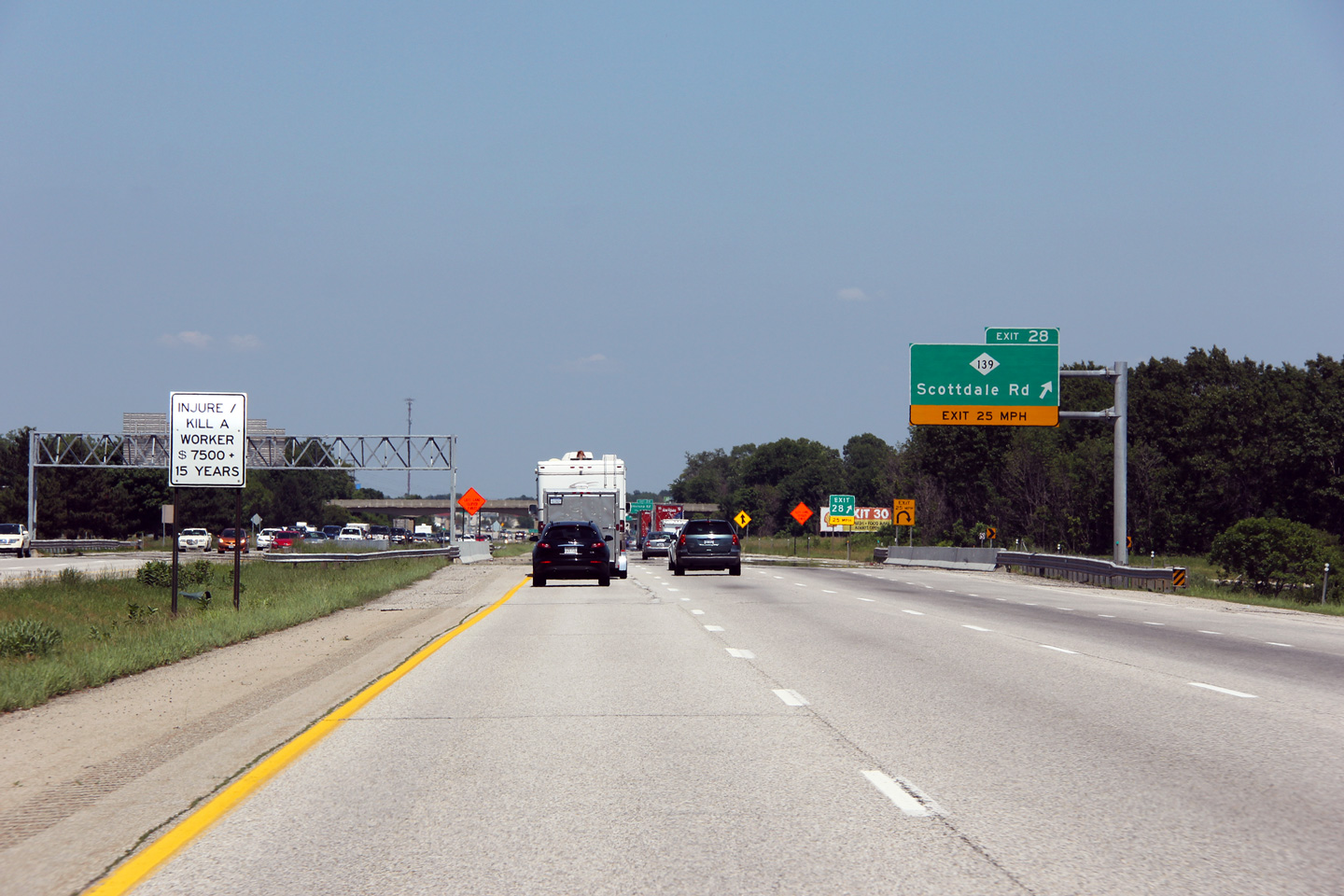
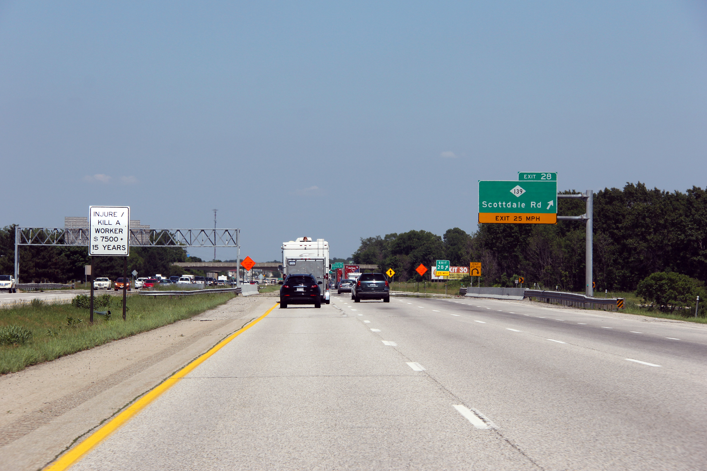
Berrien County |
Easterly view at the M-139 interchange. M139 serves as an alternate access into Benton Harbor from I-94 and M-63. |
|
||
|
Date: 6/26/2011 |
High-res: (1440x960) (2400x1600) |
|||
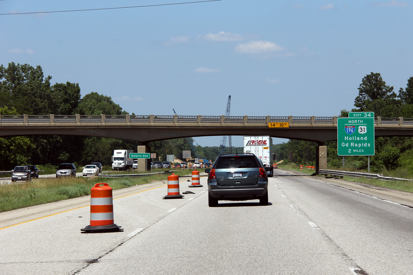
|
Berrien County |
Easterly as I-94 passes underneath of the Empire Avenue overpass just east of Benton Harbor. During the 2011 construction season, MDOT was repairing a number of bridges over and under I-94 and I-196, hence the lane closures during the construction. |
 |
||
|
Date: 6/26/2011 |
High-res: (1440x960) (2400x1600) |
|||
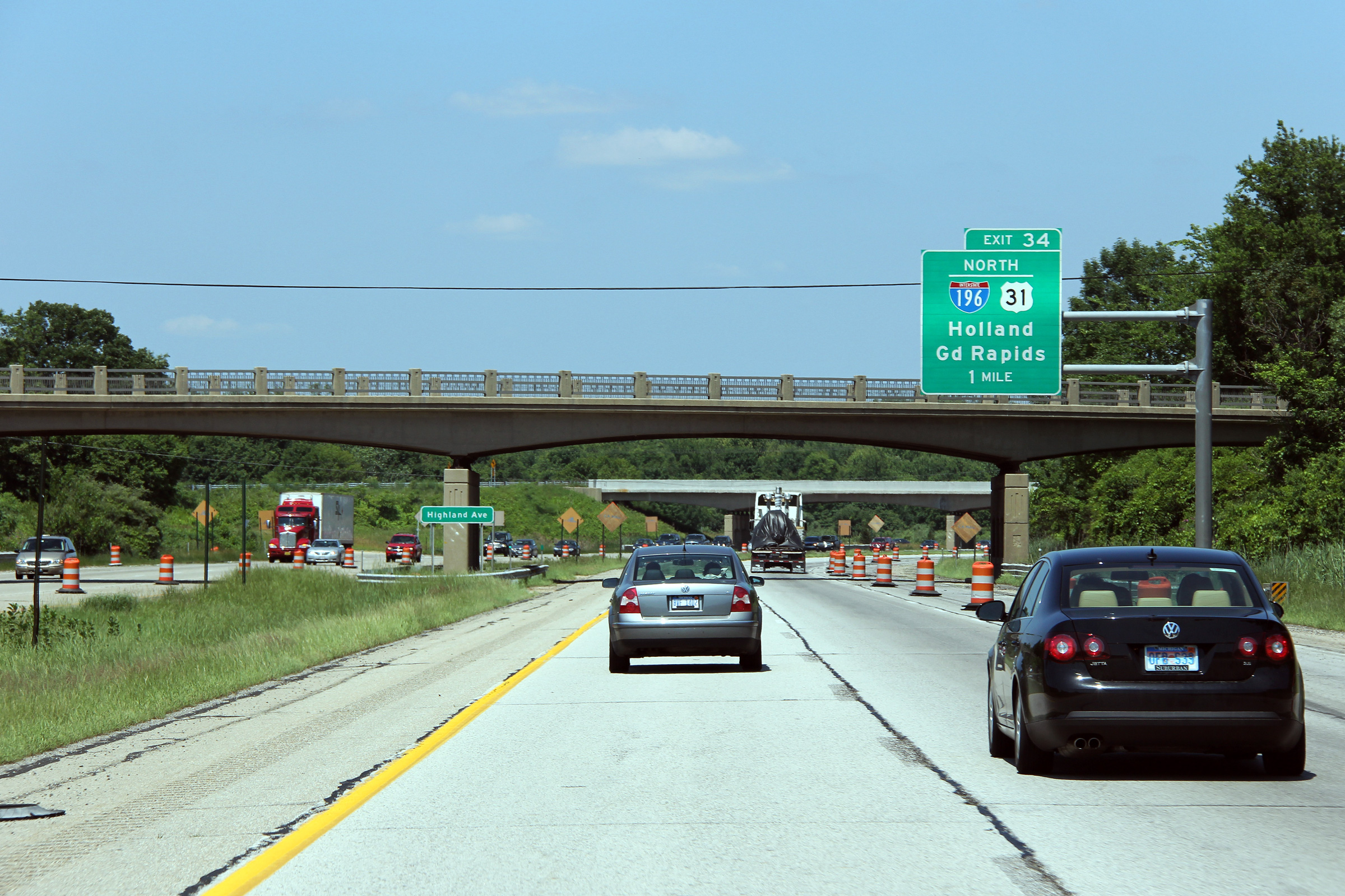
|
Berrien County |
Easterly view at Highland Avnue. |
|
||
|
Date: 6/26/2011 |
High-res: (1440x960) (2400x1600) |
|||
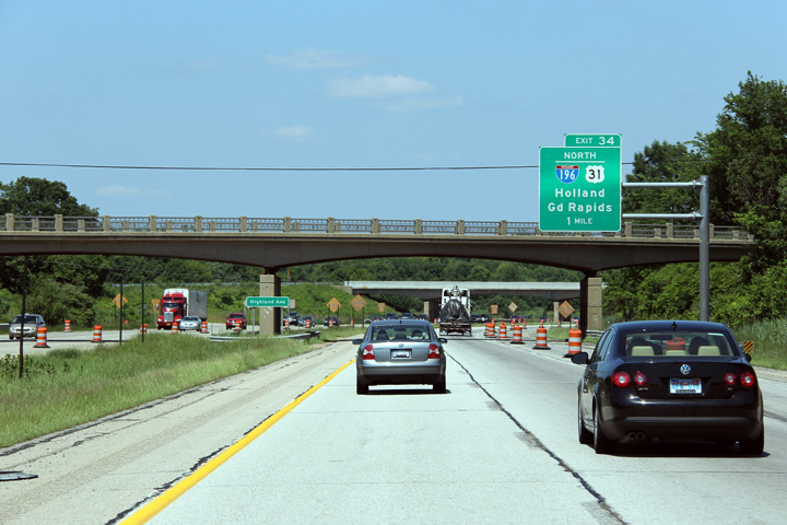
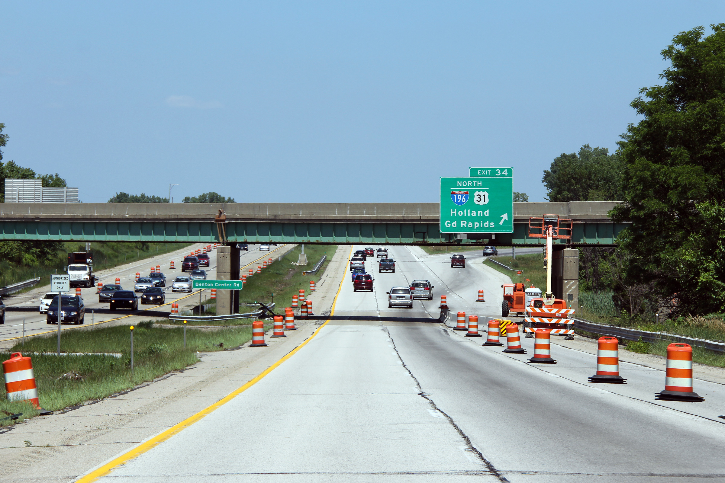
|
Berrien County |
Advanced signage for the I-196 interchange in advance of the Benton Centre Road overpass. Judging from its steel beam design, it would appear that the cross-over for Benton Centre Road was constructed sometime after Interstate 94 was pushed through southwestern Michigan. |
 |
||
|
Date: 6/26/2011 |
High-res: (1440x960) (2400x1600) |
|||
|
Berrien County |
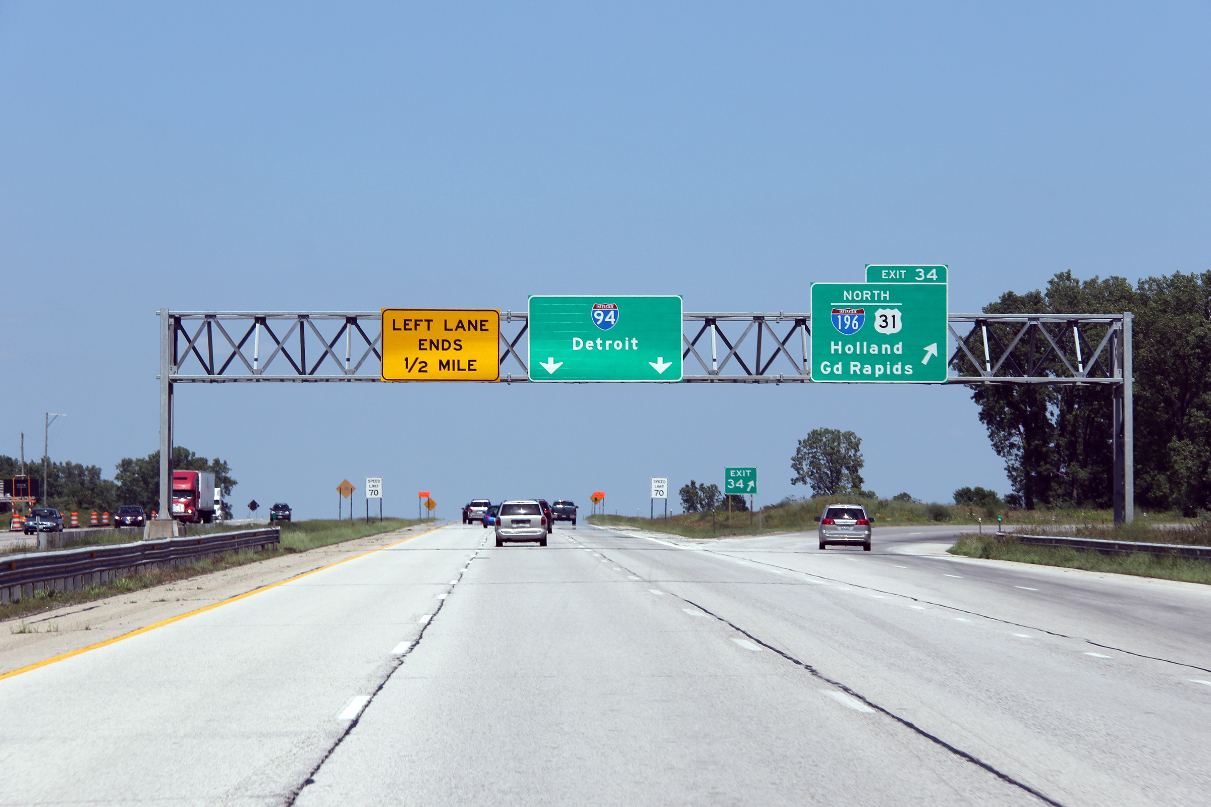
Easterly view at the I-196 interchange along I-94. As is evident from the overhead guide signage, I-94 narrows from a six lane freeway to a four lane freeway at this interchange. Aside from a short six-lane segment through Kalamazoo, I-94 maintains a four lane cross-section easterly from this interchange to the Detroit Metro. |

|
||
|
Date: 6/26/2011 |
High-res: (1440x960) (2400x1600) | |||
|
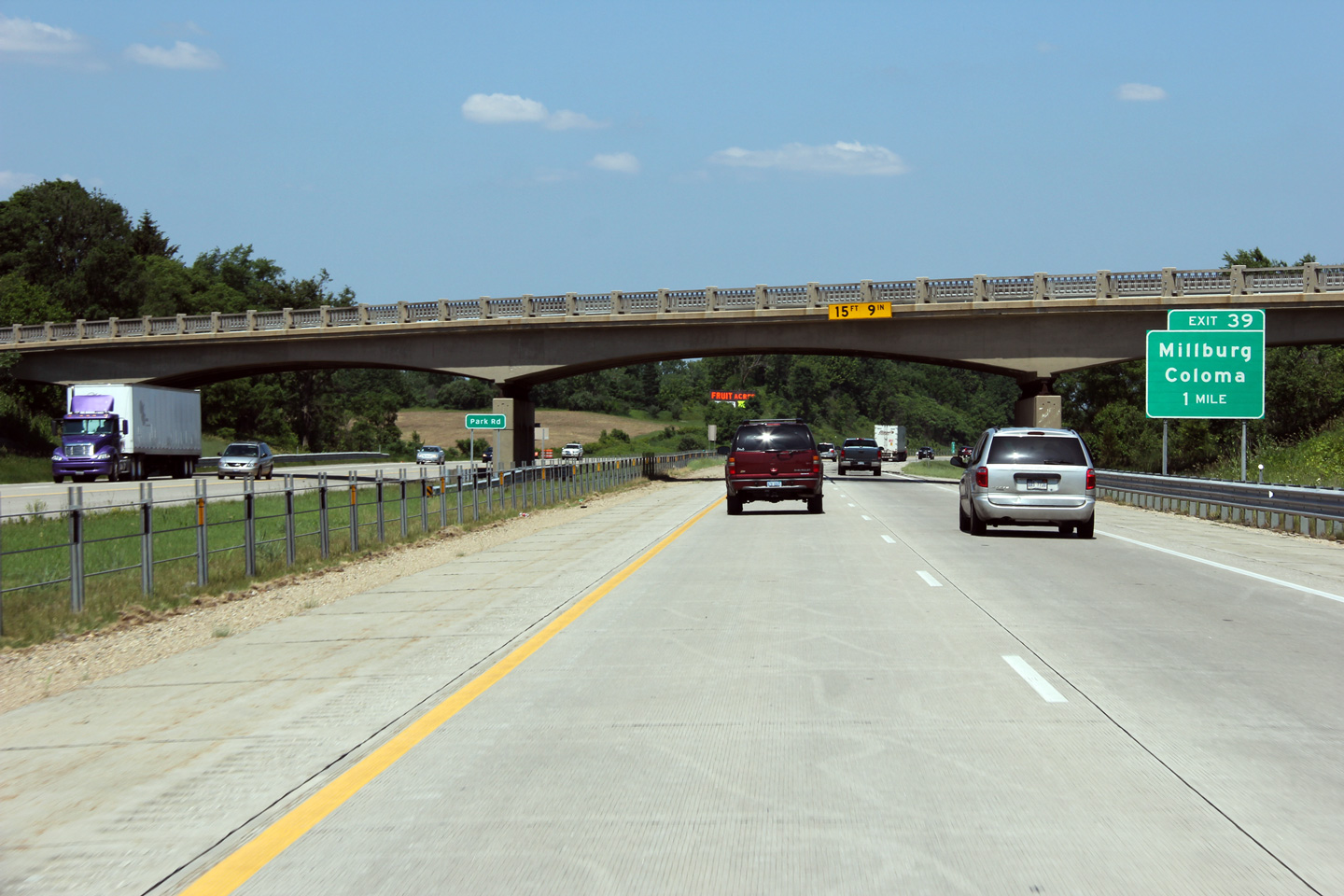
Berrien County |
Easterly view through the Park Road overpass approaching Exit 39. |
|
||
|
Date: 6/26/2011 |
High-res: (1440x960) (2400x1600) |
|||
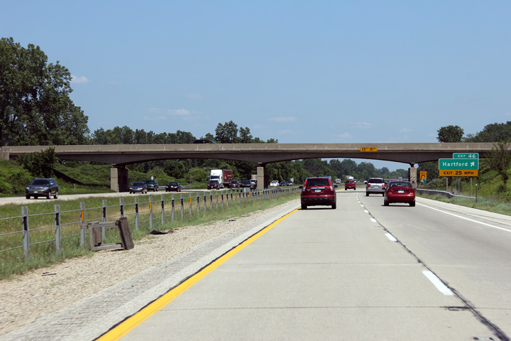
|
Van Buren County |
1 mile advance exit sign for M-140 (Exit 41) on I-94 East, in place just before I-94 crosses over Hennesey Rd. |
|
||
|
Date: 6/26/2011 |
High-res: (1440x960) (2400x1600) |
|||
|
Continue east along I-94. Click here for Paw Paw to Albion images. |
||||
<- I-94 (IN) Back to I-94 Index Page 2 ->
© 2004-2011 AsphaltPlanet.ca.
AsphaltPlanet@asphaltplanet.ca
Page Created: June 7, 2007.
Last Updated: July 29, 2011.
