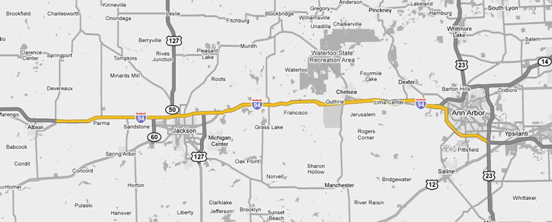
|
Interstate 94
(Michigan) |
| <- Page 2 |
|
Page 4 -> |
Pictures are arranged in order from
west to east.
I-94 East photos are
left-aligned in the last column, while I-94 West photos are right-aligned.
Center-line pictures are centered within the last column.
|
Location |
Description |
Photo |
||
|
East- |
West- Bound |
|||
|
Continue west along I-94. Click here for Paw Paw to Albion images. |
||||
|
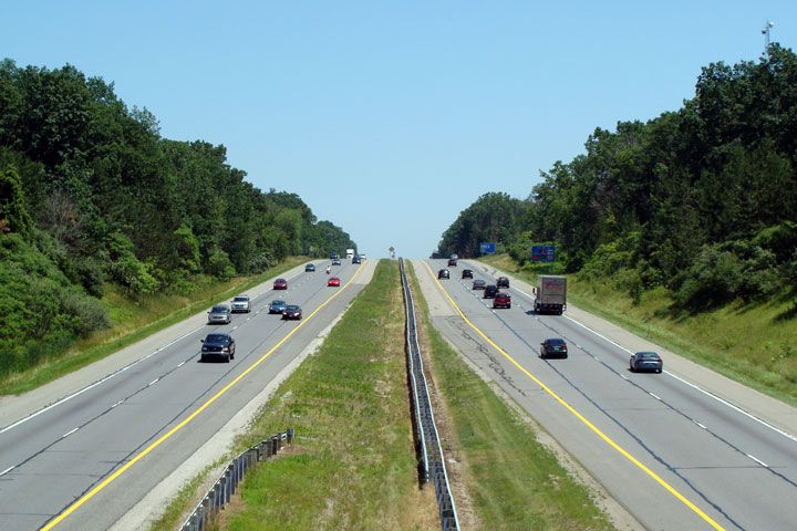
Jackson County |
Two easterly views as Interstate 94 passes underneath of the Airport Road overpass. An astute observer will notice the hazard striping that is still faintly visible on both the southern embankment and the central pier. The section of Interstate 94 through Western Jackson was completed in 1952, and pre-dates the Interstate era. While I have never seen photographs of Interstate 94 from the 1950s, I would suspect that the hazard striping that is still faintly visible would have been nearly the only protection motorists were given between their car and the bridge. |
 |
||
|
High-res: (1440x960) (2400x1600) |
||||
 |
||||
|
Date: 6/26/2011 |
High-res: (1440x960) (2400x1600) |
|||
|
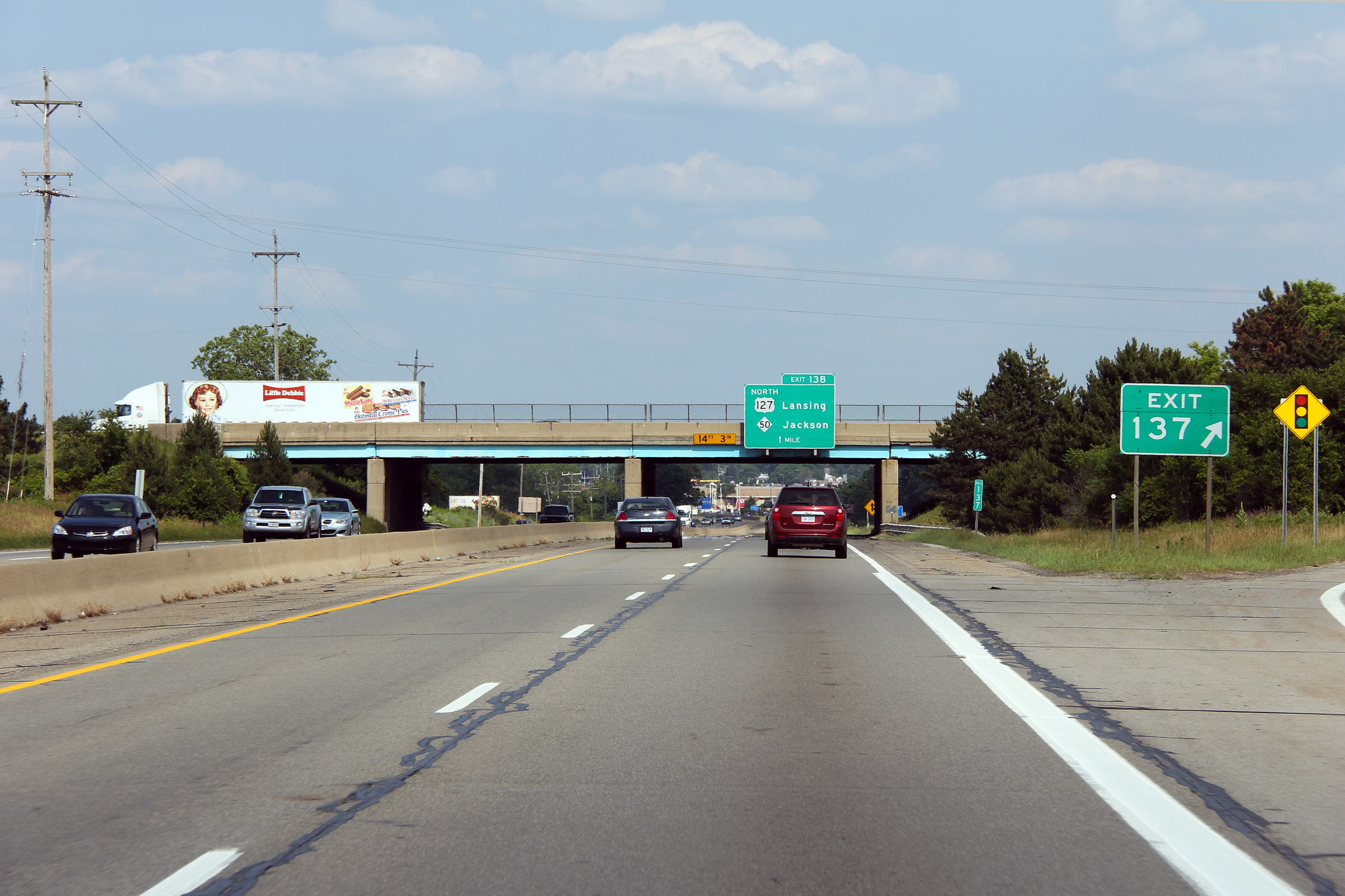
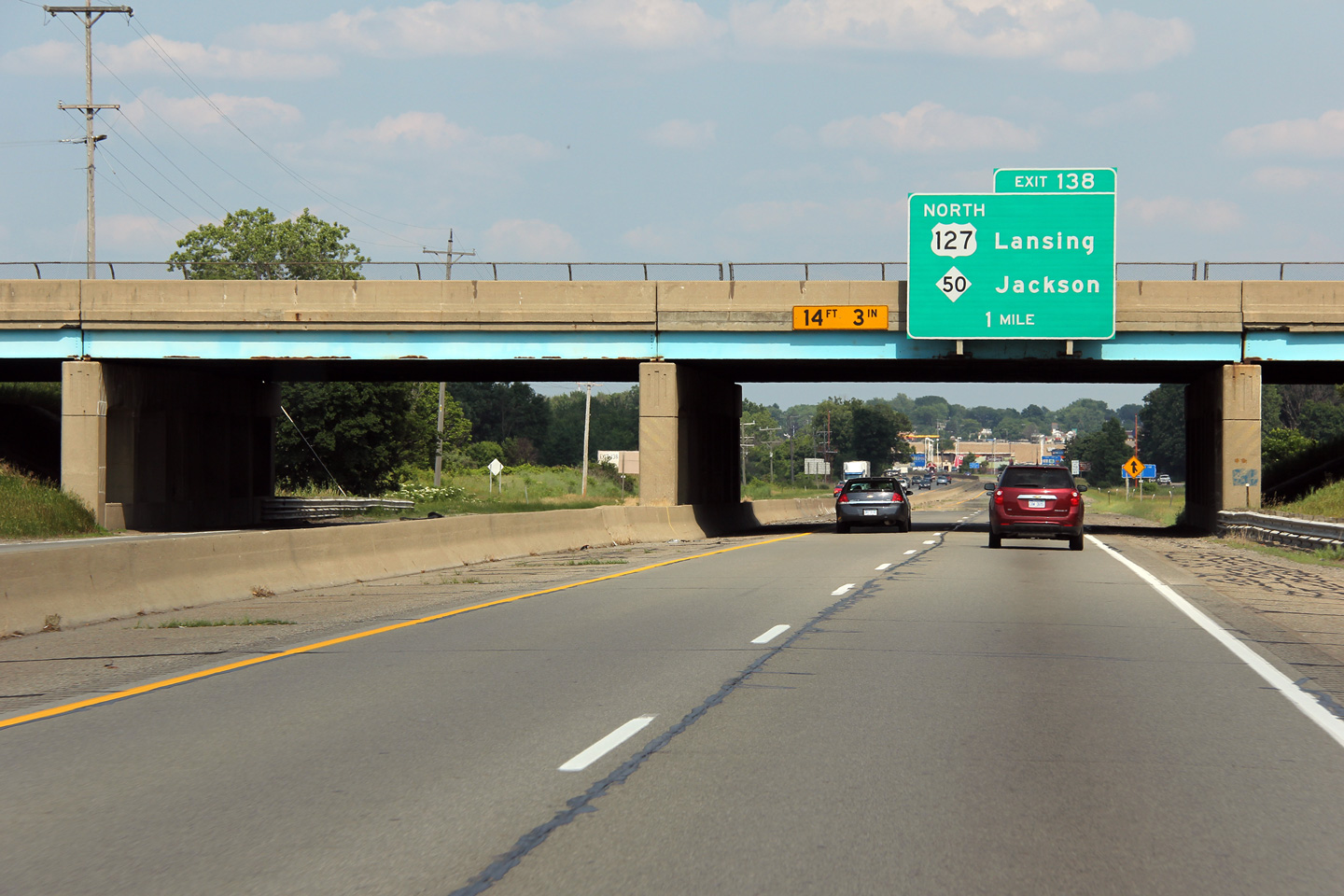
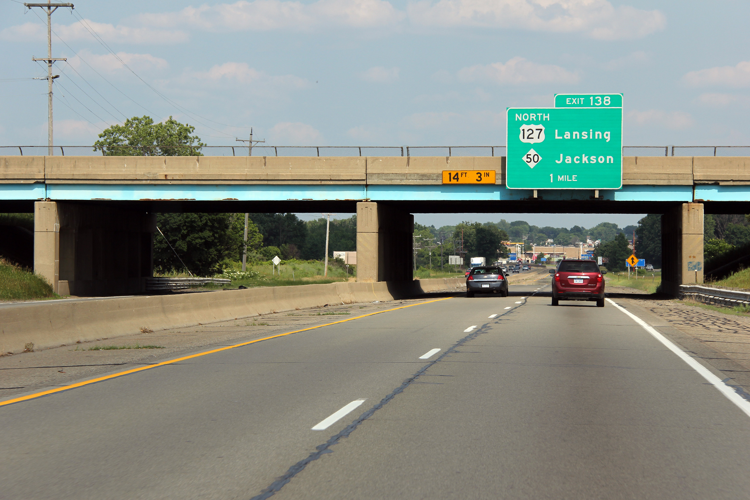
Jackson County |
Advanced signage for the Cooper Street interchange just ahead of the Lansing Avenue overpass. This narrow stretch of Interstate 94 opened in 1952, before the Interstate-era, and was designated as US-12. |
 |
||
|
Date: 6/26/2011 |
High-res: (1440x960) (2400x1600) |
|||
|
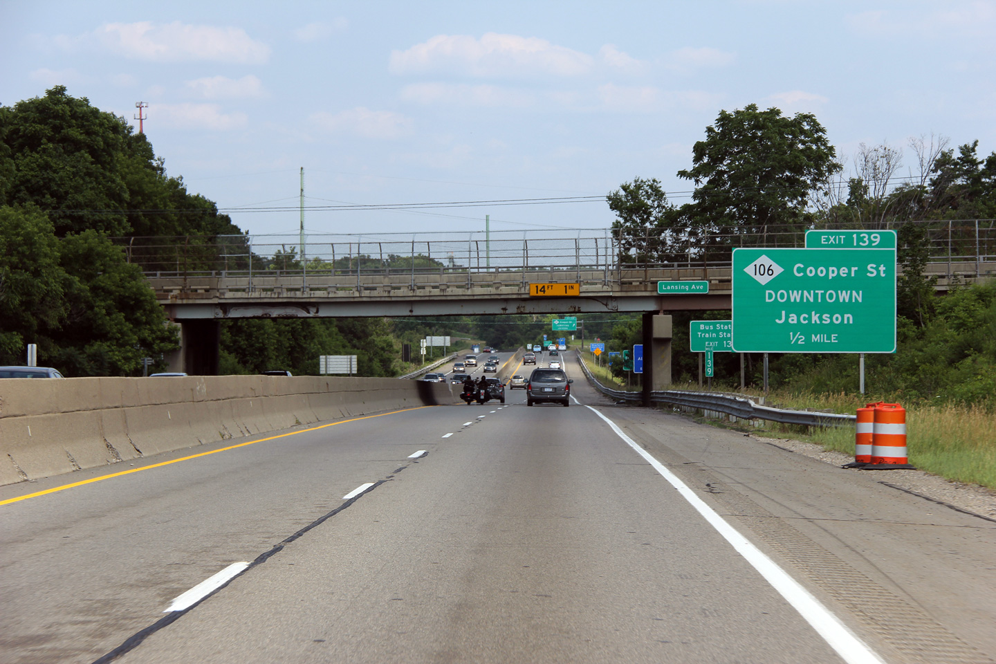
Jackson County |
Easterly view as Interstate 94 passes through the Cooper Street overpass. The telephoto lens exaggerates the tight geometry of the freeway as it runs through Jackson, however, it is still painfully obvious that this section of I-94 is substandard to modern interstate geometry as the freeway passes through the city. |
 |
||
|
Date: 6/26/2011 |
High-res: (1440x960) (2400x1600) |
|||
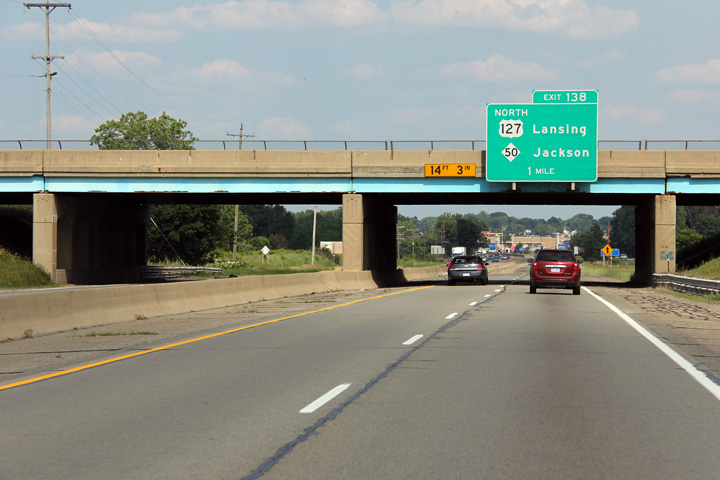
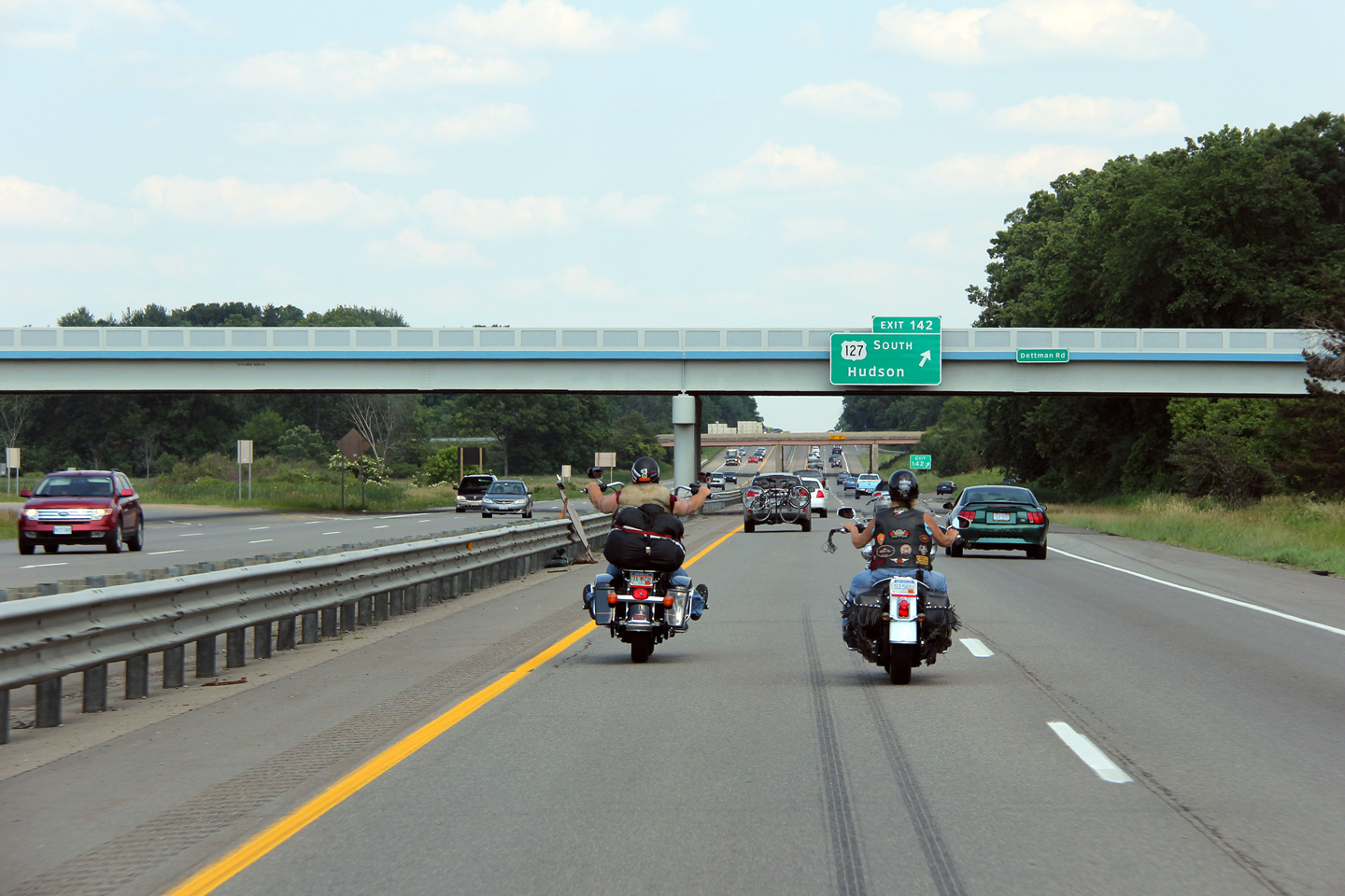
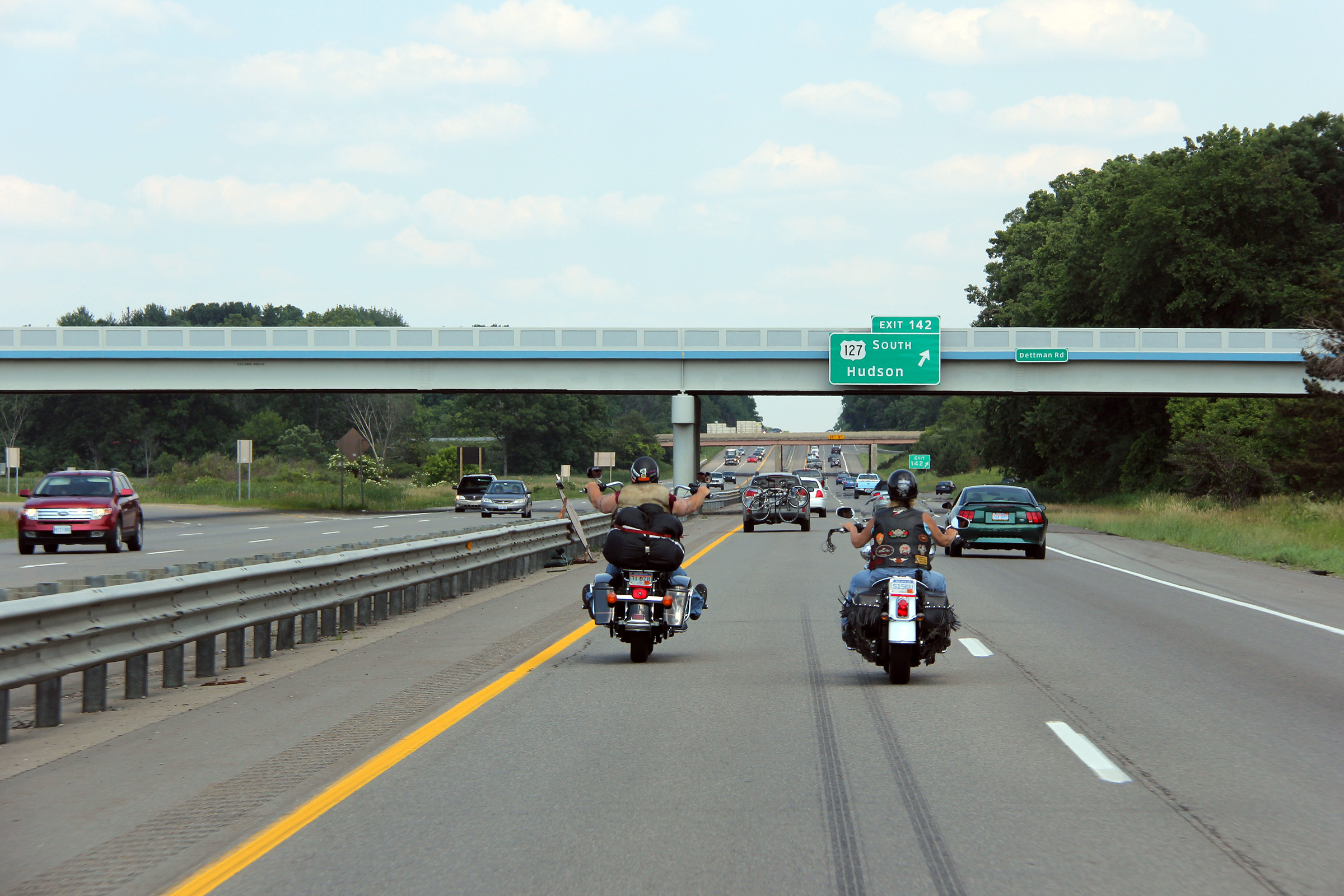
|
Jackson County |
Eastbound signage at the ramp to US-127 South. US-27 South meets I-94 at a trumpet interchange. US-127 continues as a freeway around the eastern side of the City of Jackson, before narrowing to a conventional at-grade highway south of the city. |
 |
||
|
Date: 6/26/2011 |
High-res: (1440x960) (2400x1600) |
|||
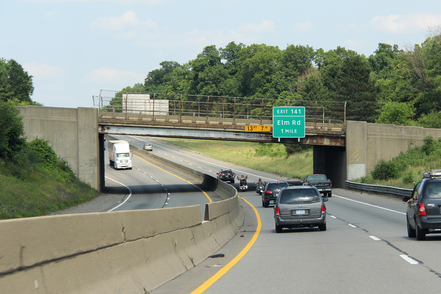
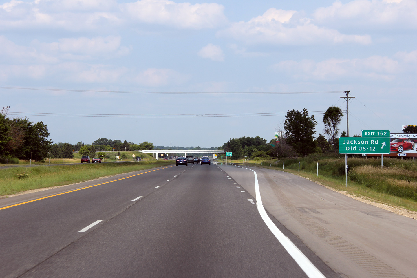
|
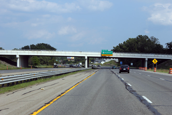
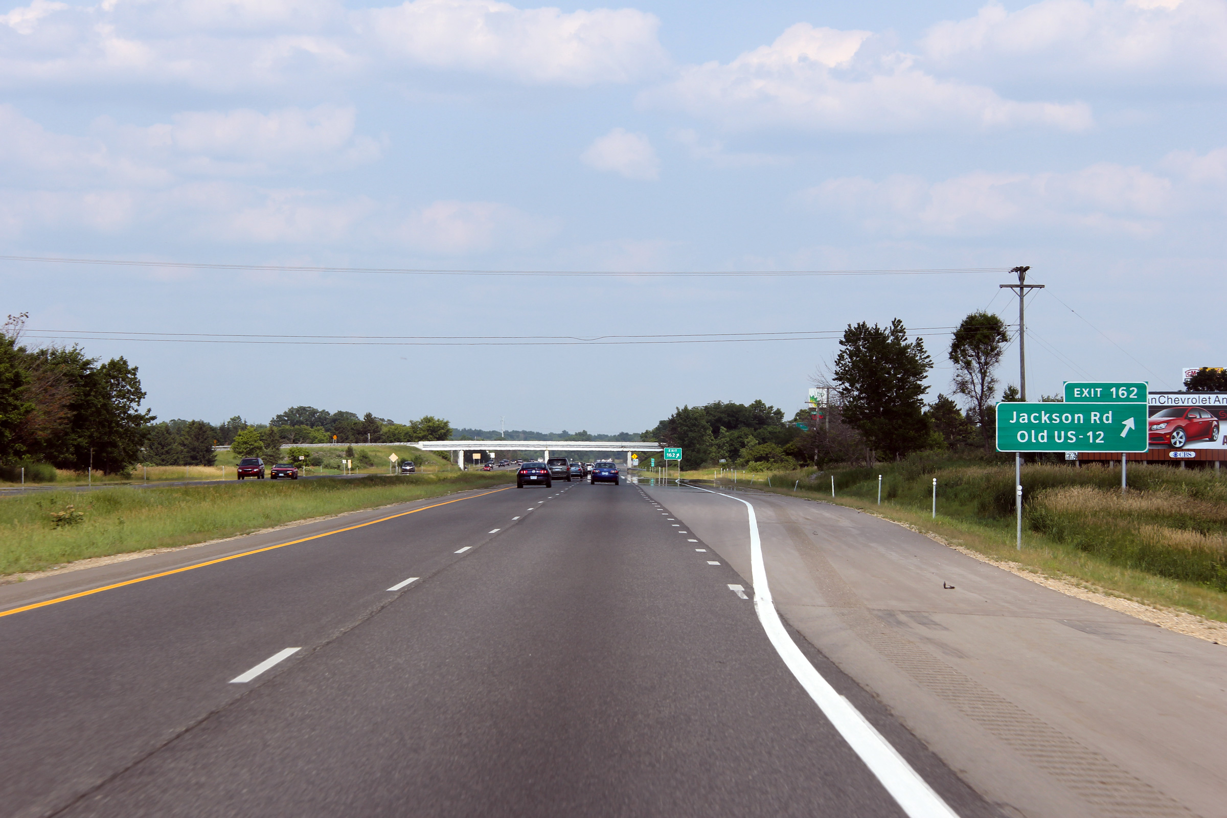
Washtenaw County |
Eastbound view approaching the Jackson Road / Old US-12 interchange. The original alignment of US-12 followed today's Jackson Road and Old US-12. Before the completion of I-94 in the early 1970's US-12 paralleled I-94 very closely. In fact, some sections of today's interstate were actually built in advance of Eisenhower's network of Interstate highways to serve as by-passes for US-12. Upon completion of I-94 across Southern Michigan, the existing alignment of US-12 was turned back to local control, and the US-12 designation was moved to what had previously been US-112 several miles to the south. |
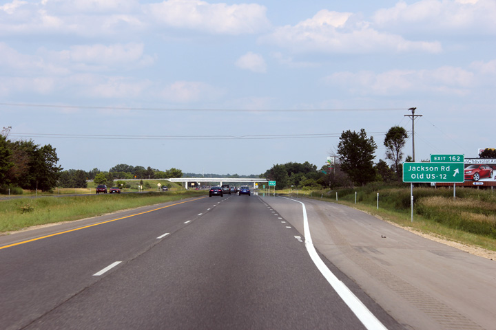 |
||
|
Date: 6/26/2011 |
High-res: (1440x960) (2400x1600) |
|||
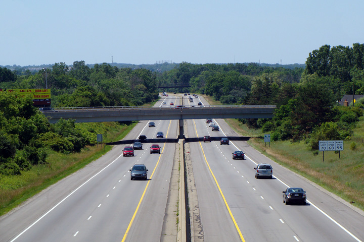
|
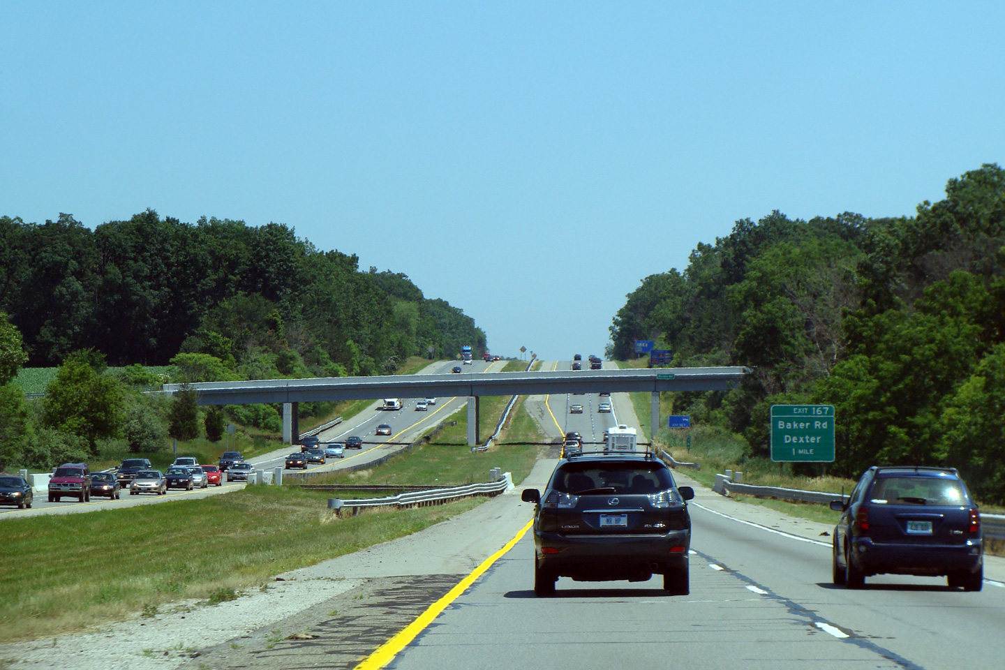
Washtenaw County |
Easterly view approaching Parker Road, I-94 widens to a six lane cross-section just east of Parker Road. |
|||
|
Date: 7/06/2008 |
High-res: (1440x960) | |||
|
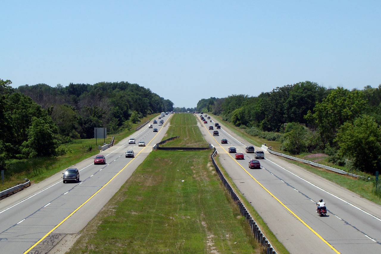
Washtenaw County |
Westerly view of I-94 from Parker Rd., which crosses the Interstate at approximately mile marker 166. |
|
||
|
Date: 7/06/2008 |
High-res: (1440x960) | |||
|
Washtenaw County |
Easterly view from Parker Road. I-94 widens from four to six lanes (eastbound) at Parker Rd. The Interstate maintains this six-lane cross section easterly until the M-14 interchange. |
|
||
|
Date: 7/06/2008 |
High-res: (1440x960) | |||
|
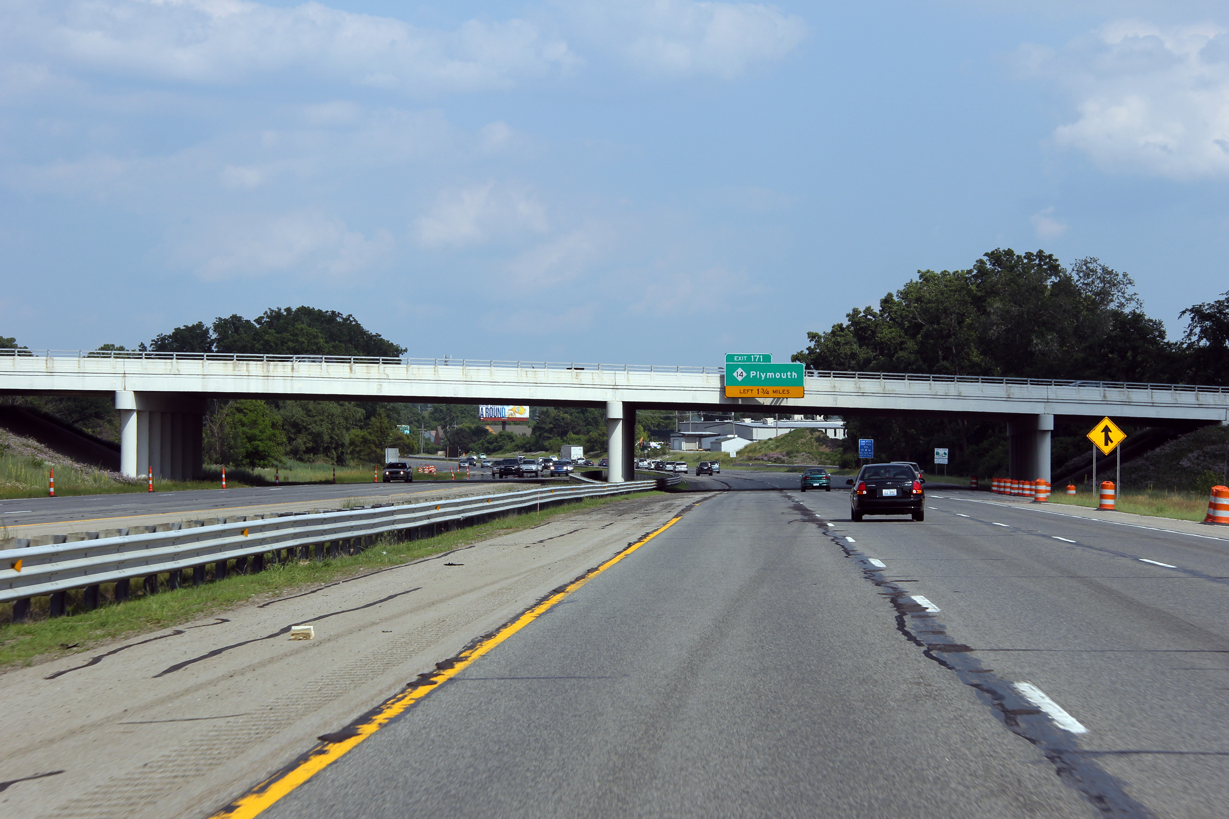
Washtenaw County |
Bridge-mounted 1.75 mile advance exit sign for M-14 (Exit 171) on I-94 East, affixed to the Zeeb Rd. overpass. |
|
||
|
Date: 6/26/2011 |
High-res: (1440x960) (2400x1600) | |||
|
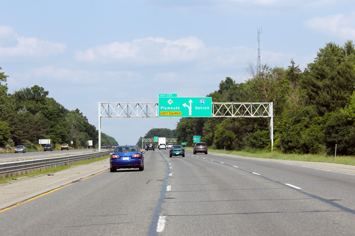
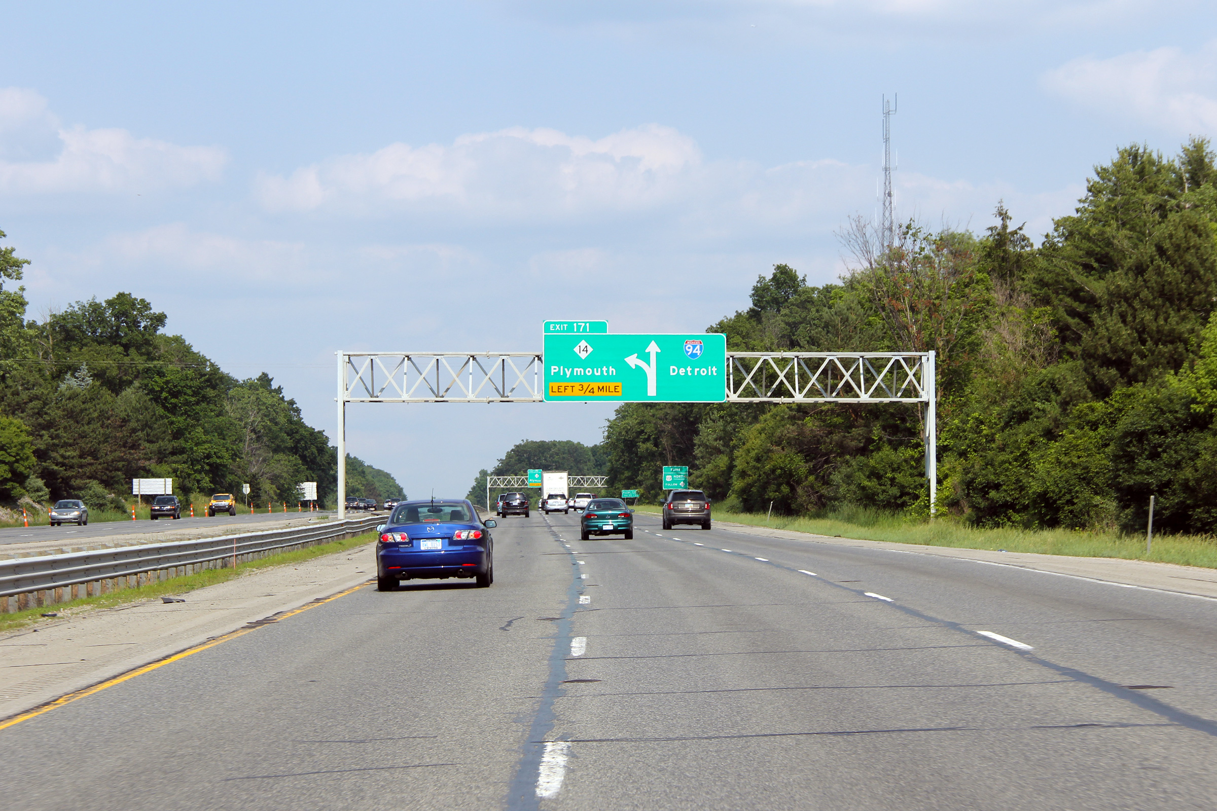
Washtenaw County |
First of two eastbound diagrammatical signs for the M-14 interchange (Exit 171) on I-94 East. Note the lack of lane markings shown on the overhead signage. |
|
||
|
Date: 6/26/2011 |
High-res: (1440x960) (2400x1600) | |||
|
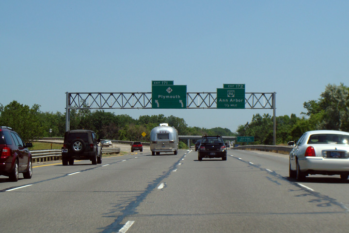
Washtenaw County |
M-14 departs from the left of I-94 East at Exit 171. M-14 serves a good alternate route into Detroit, used in conjunction with I-96. |
|
||
|
Date: 7/06/2008 |
High-res: (1440x960) | |||
|
Washtenaw County |
Westerly view from the Ellsworth Road overpass toward the Platt Road overpass. Interstate 94 skirts around the south side of Ann Arbor. |
 |
||
|
Date: 7/06/2008 |
High-res: (1440x960) | |||
|
Washtenaw County |
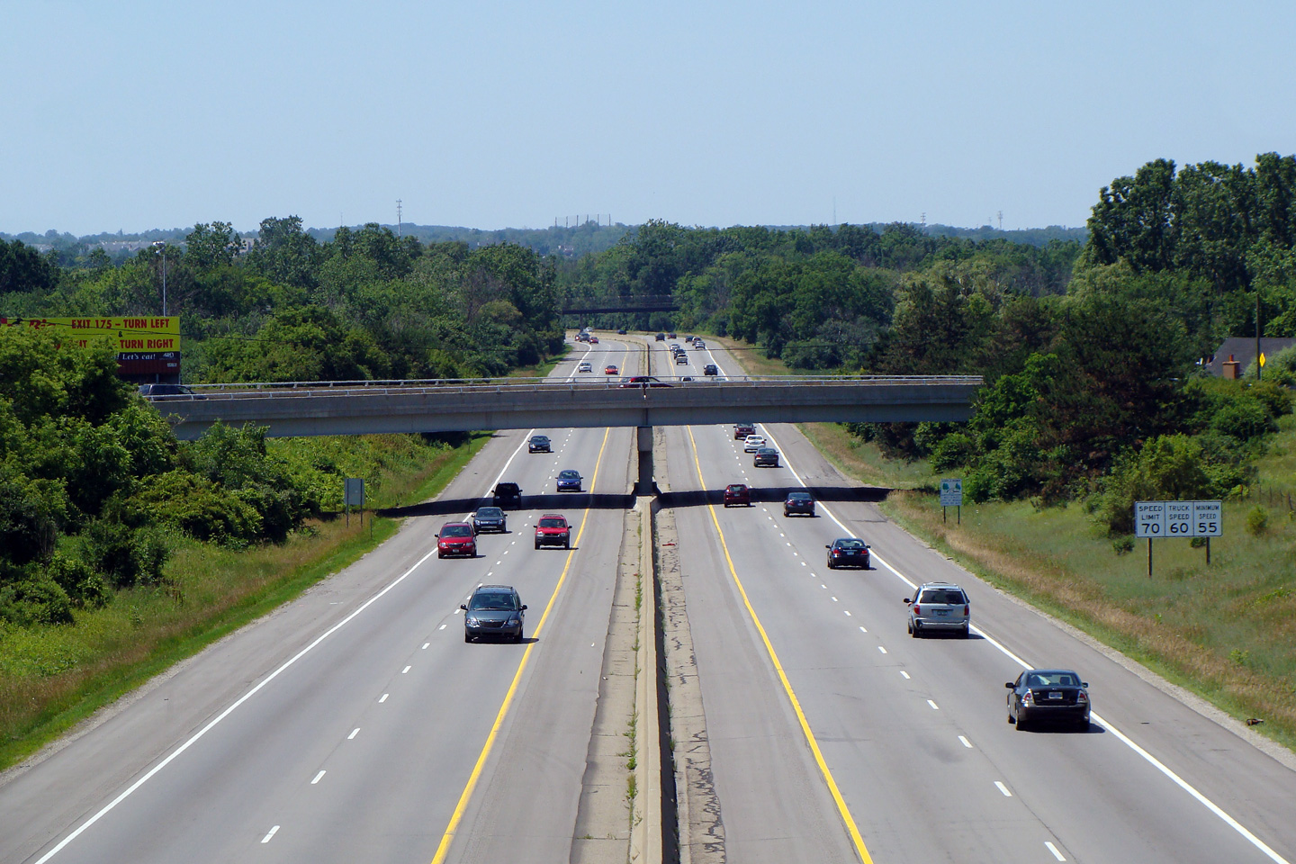
Easterly view from Ellsworth Road overpass towards the US-23 cloverleaf interchange. East of US-23, Interstate 94 regains its six lane cross-section, a cross-section which the freeway maintains to the eastern edge of the Detroit Metro. |
|
||
|
Date: 7/06/2008 |
High-res: (1440x960) | |||
|
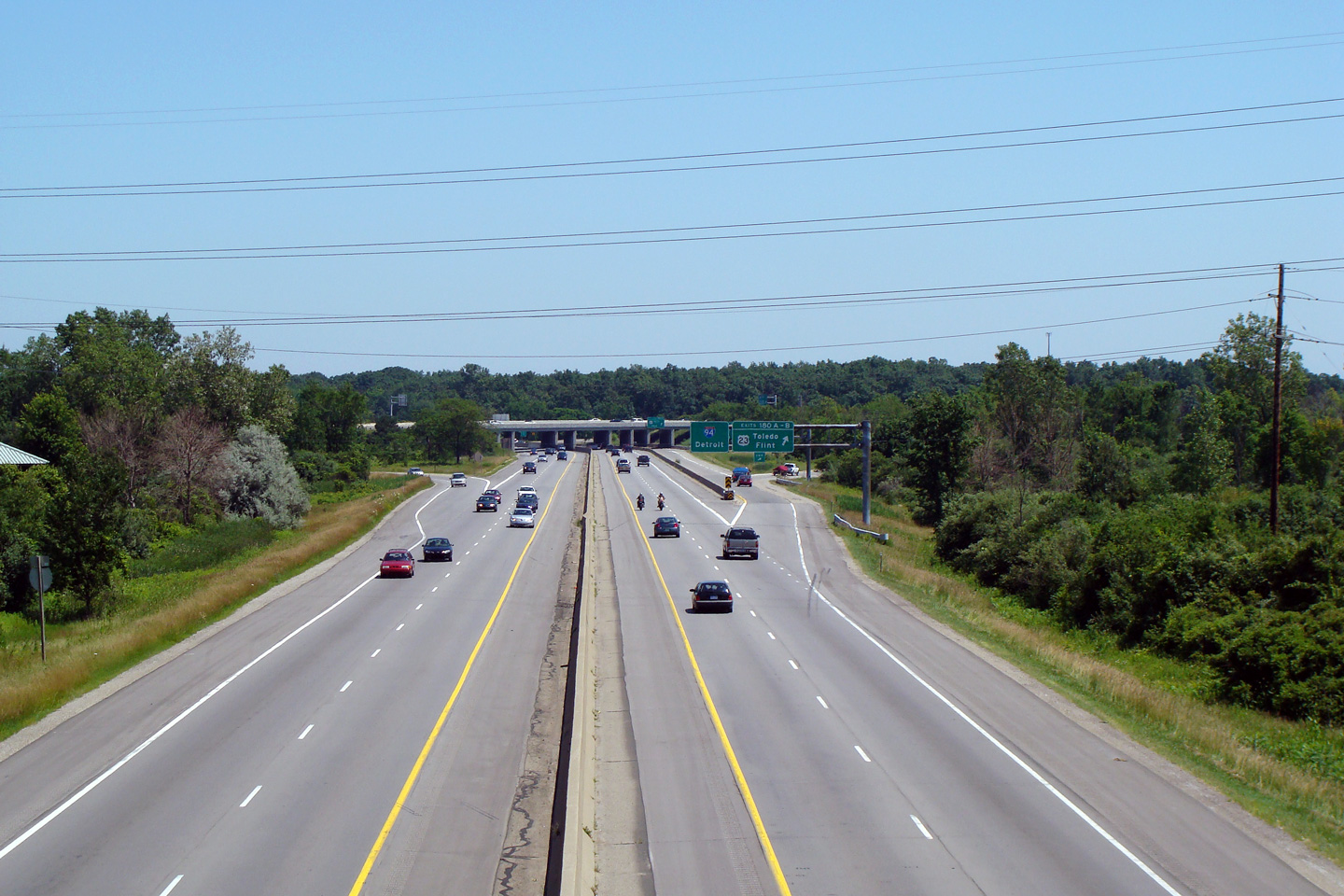
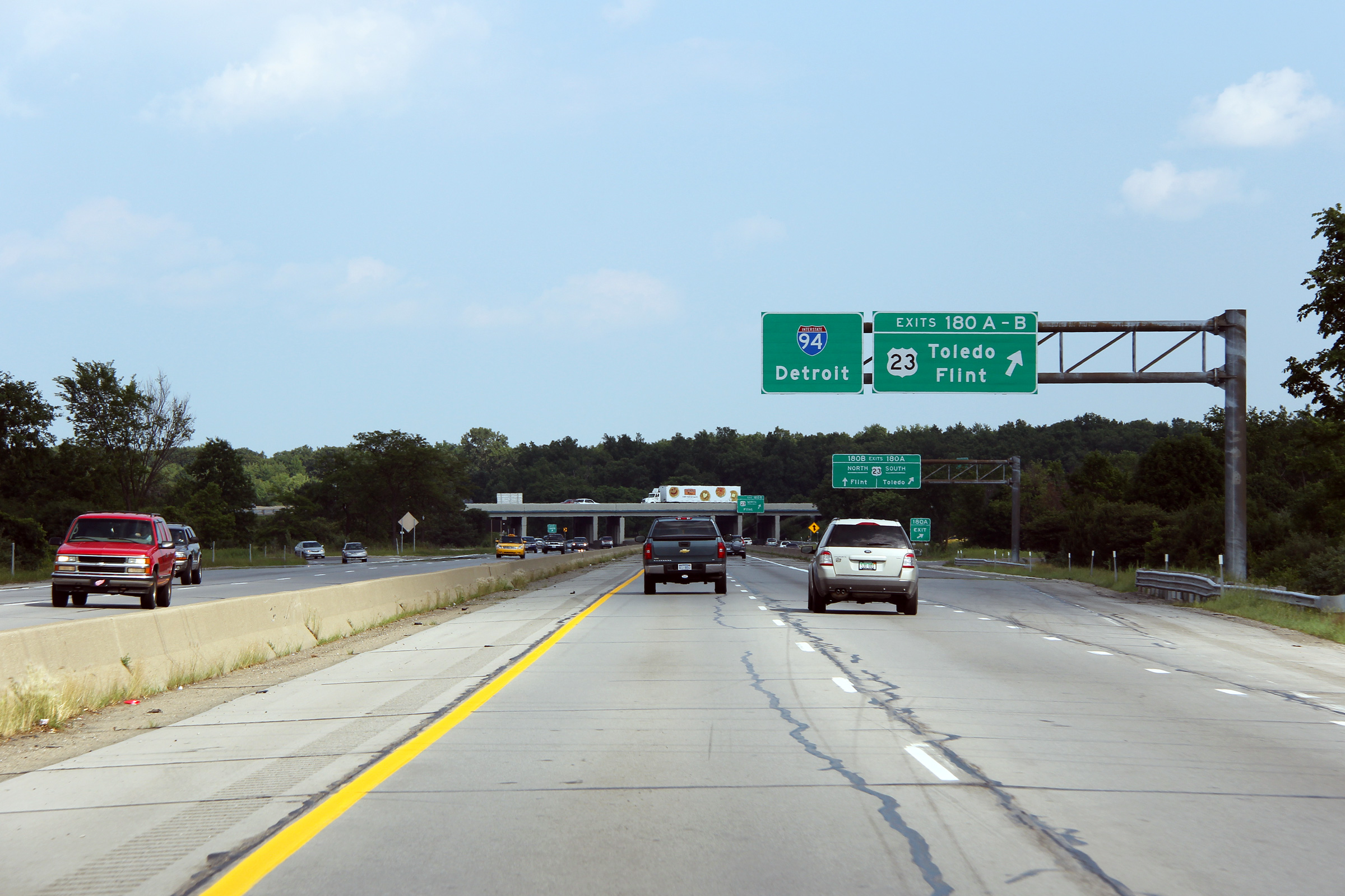
Washtenaw County |
Eastbound view as the sub-collector ramp to the US-23 cloverleaf interchange departs the interstate. Take notice of the shear length of the cantilever sign support that carries these two highway signs. |
 |
||
|
Date: 6/26/2011 |
High-res: (1440x960) (2400x1600) |
|||
|
Continue east along I-94. Click here for Ann Arbor to Detroit images. |
||||
<- Page 2 Back to I-94 Index Page 4 ->
© 2004-2011 AsphaltPlanet.ca.
AsphaltPlanet@asphaltplanet.ca
Page Created: June 7, 2007.
Last Updated: July 31, 2011.


