King's Highway 125 - www.OntHighways.com

Highway 125 is Ontario's northern most King's Highway.  It stretches the short distance around the south and east side of Red Lake from 105, through Balmerton to Cochenour.  Beyond Cochenour travelers can continue to the small community of McKenzie Island via a summertime ferry and a winter ice road.


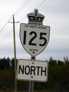
King's Highway 125 Shield.

  Southern Terminus:  Junction Highway 105 south of Red Lake.

Northern Terminus:  Cochenour Ferry Dock.

Length:  13.6km

Multiplexes:  None

Freeway: No

AADT (2004): Highest: 3,350, from Highway 105 to Balmertown;
                             Lowest:  1,500, from Balmertown to the end of Highway 125

Road Info: Highway 125 has the noteworthy distinction of being Ontario's most northerly King's Highway.  While it is certainly not remarkable in design standard, the highway does keep resemble a typical well maintained King's Highway.  While the route is by no means busy, there is a respectable amount of traffic using the highway.  Highway 125 has a posted speed limit of 80km/h.


Highway 125 information:


OntHighways.com  

Detailed Route information available below
Virtual Tour of Highway 125


TheKingsHighway.ca   History of Highway 125
Photographic History of Highway 125

Communities and Major Intersections along Highway 125 from South to North:

Proper Municipality Name Community Name Distance Intersection Name
Municipality of Red Lake ----- 0km / 13.6km King's Highway 105
Municipality of Red Lake Balmertown --- -----
Municipality of Red Lake Cochenour 13.6km / 0km -----

Highway 125 ENDS


<- Highway 124        www.OntHighways.com - Home          Highway 126 ->


Copyright (c) 2004-2010, AsphaltPlanet.ca  AsphaltPlanet@asphaltplanet.ca

Page last updated:  November 18th, 2007

Page created:  November 188th, 2007