|
Proper Municipality Name |
Photo Description |
Photo |
|
Pictures taken
from driver's perspective appear offset from centre-line pictures: |
East-
bound |
West-
bound |
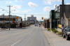
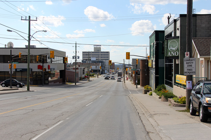
| City of Timmins |
Westerly view along Highway 101 through Downtown Timmins.
Photo taken: August 23rd, 2011. |
(720x480)
(1440x960)
(2400x1600) |
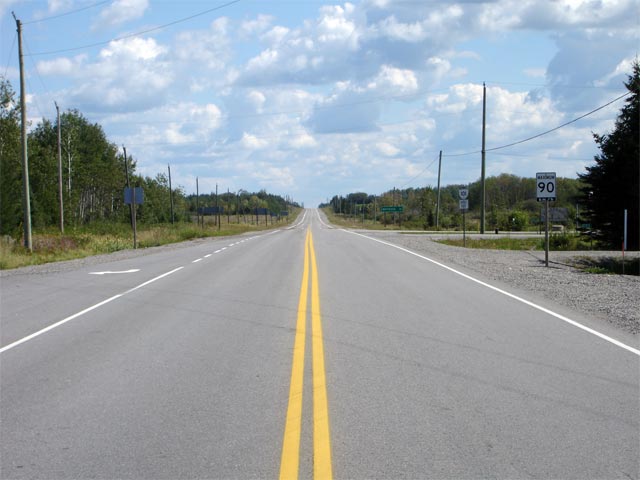
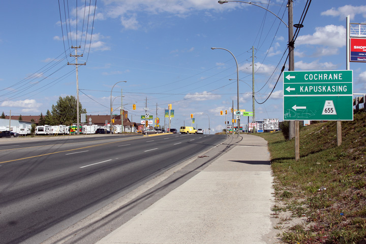
| City of Timmins |
Signage approaching the Highway 655 intersection along Highway 101 in
Timmins.
Photo taken: August 23rd, 2011. |
 (720x480) (720x480)
(1440x960)
(2400x1600) |
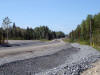
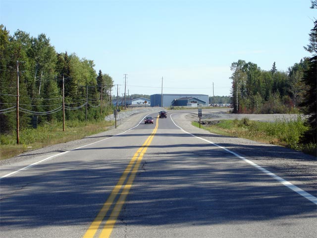
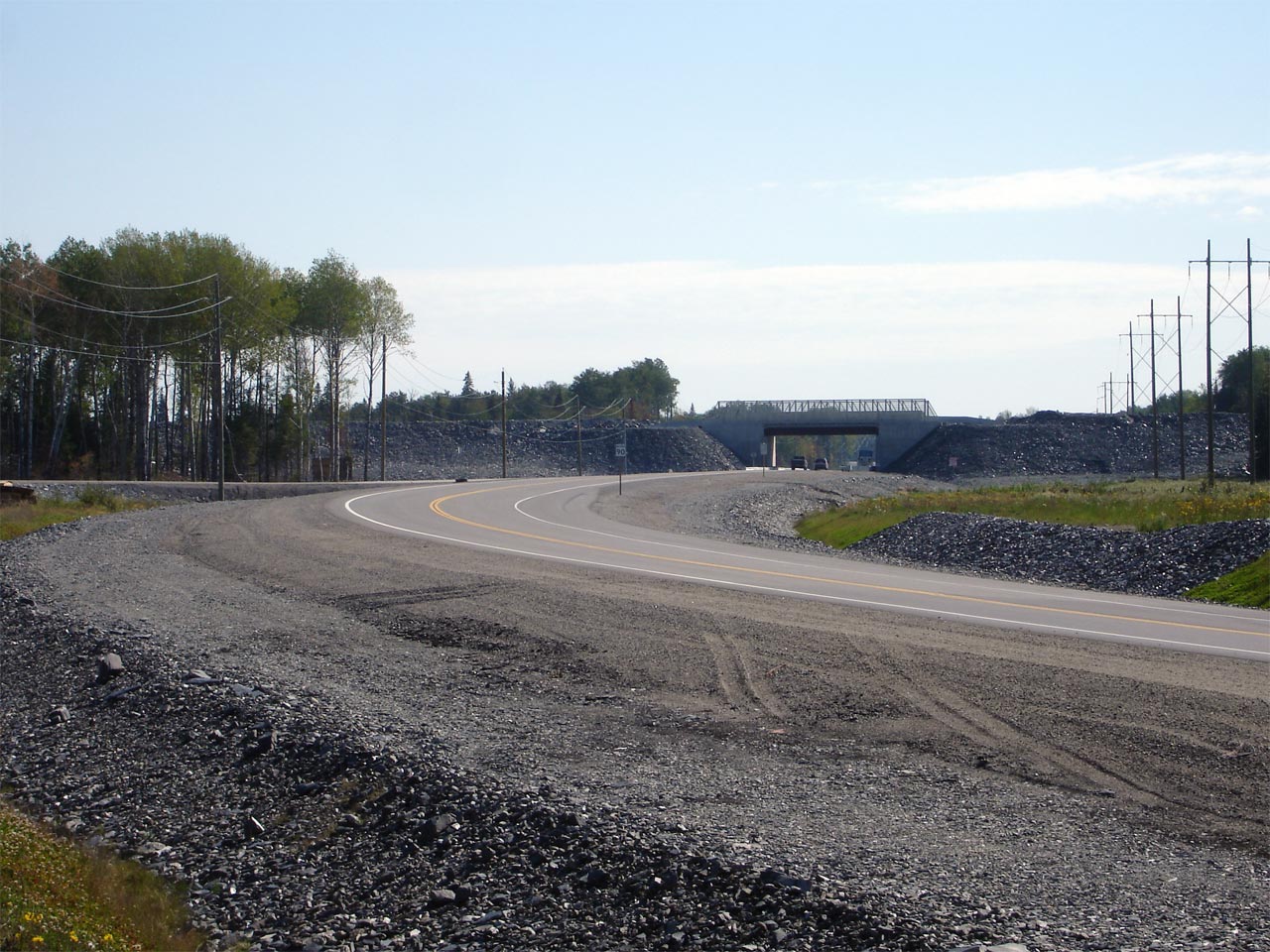
| City of Timmins |
View looking easterly along Highway 101 as it nears the start of a 2006
realignment to by-pass a growing mining site. Photo taken: August 28th, 2006. |
 |
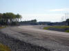
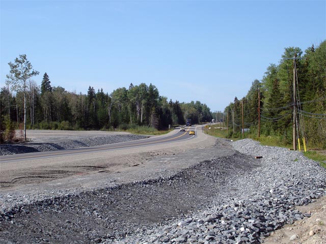
| City of Timmins |
Looking west towards Timmins from the former alignment to where the
new alignment joins with the old. The Timmins connecting link
agreement beings a short distance west of this location. Photo taken:
August 28th, 2006. |
 |
| City of Timmins |
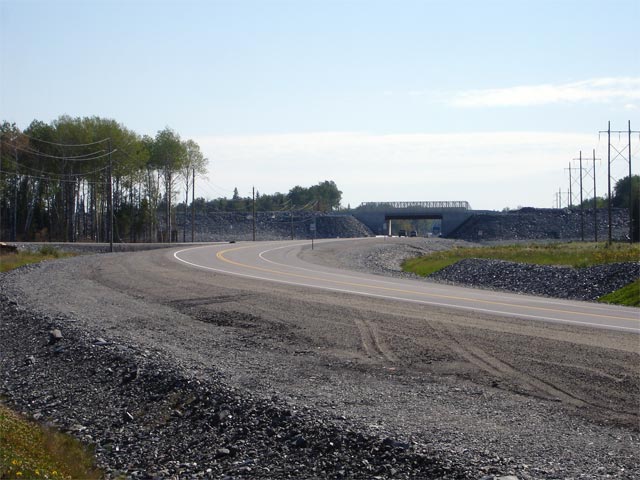
View looking east along the new Highway 101 alignment as it passes through
an overhead structure. This structure carries mining traffic directly
across the highway to not disturb through traffic along Highway 101.
Photo taken: August 28th, 2006. |
Low-res
High-res |
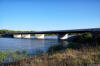
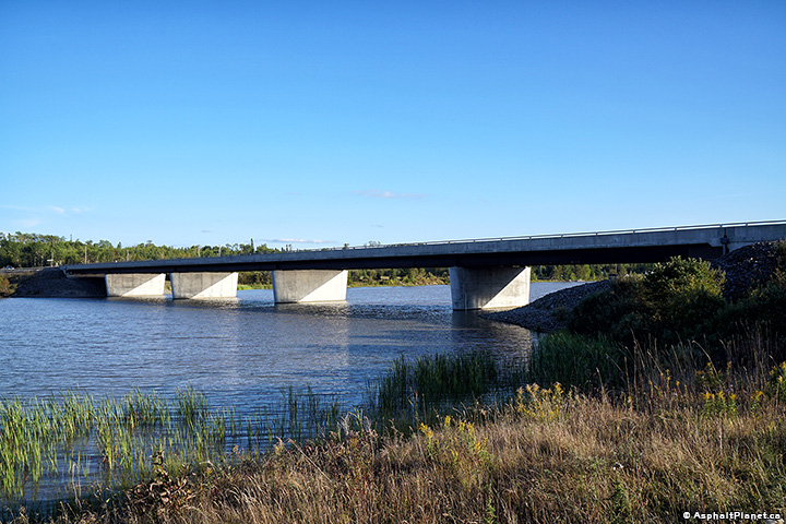
| City of Timmins |
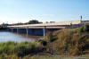
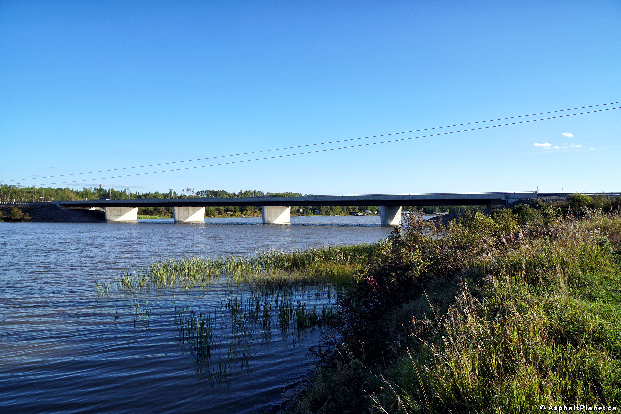
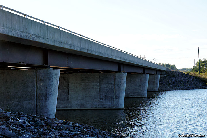
Two views looking southeasterly as Highway 101 crosses the Frederickhouse
River. The current Frederickhouse River bridge was constructed in 2004
and 2005 and replaced a former steel through truss bridge that had been
constructed in 1939. Photo taken: September 11th, 2018. |
(720x480)
(1440x960)
(2400x1600)
(720x480)
(1440x960)
(2400x1600) |
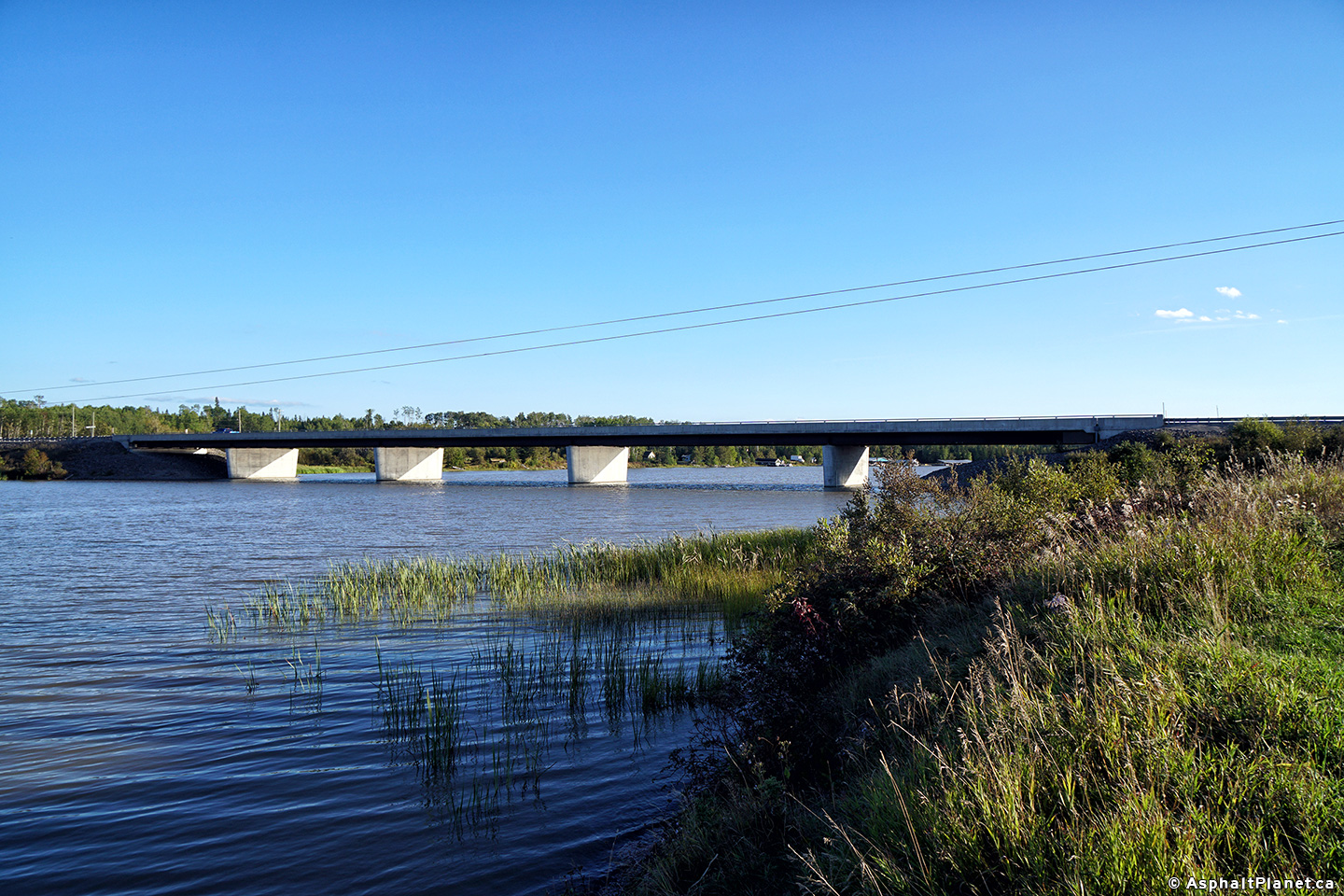
| City of Timmins |
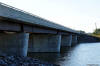
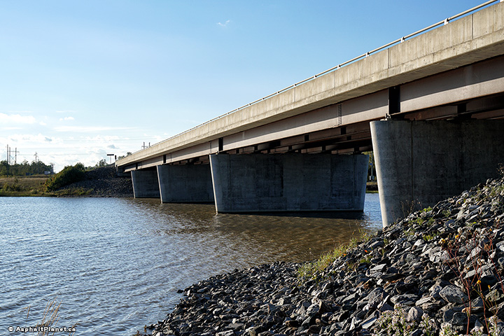
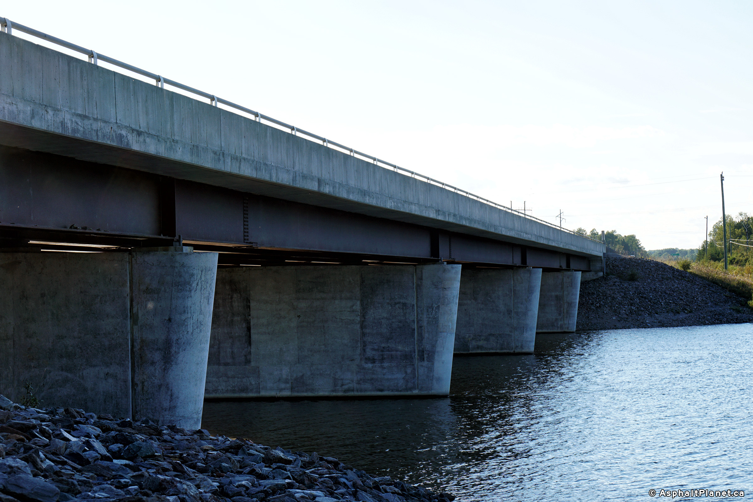
Two views looking northwesterly along Highway 101 as it crosses the
Frederichouse River. Photo taken: September 11th, 2018. |

(720x480)
(1440x960)
(2400x1600)
(720x480)
(1440x960)
(2400x1600)
|
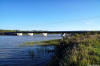
| City of Timmins |
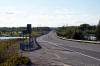
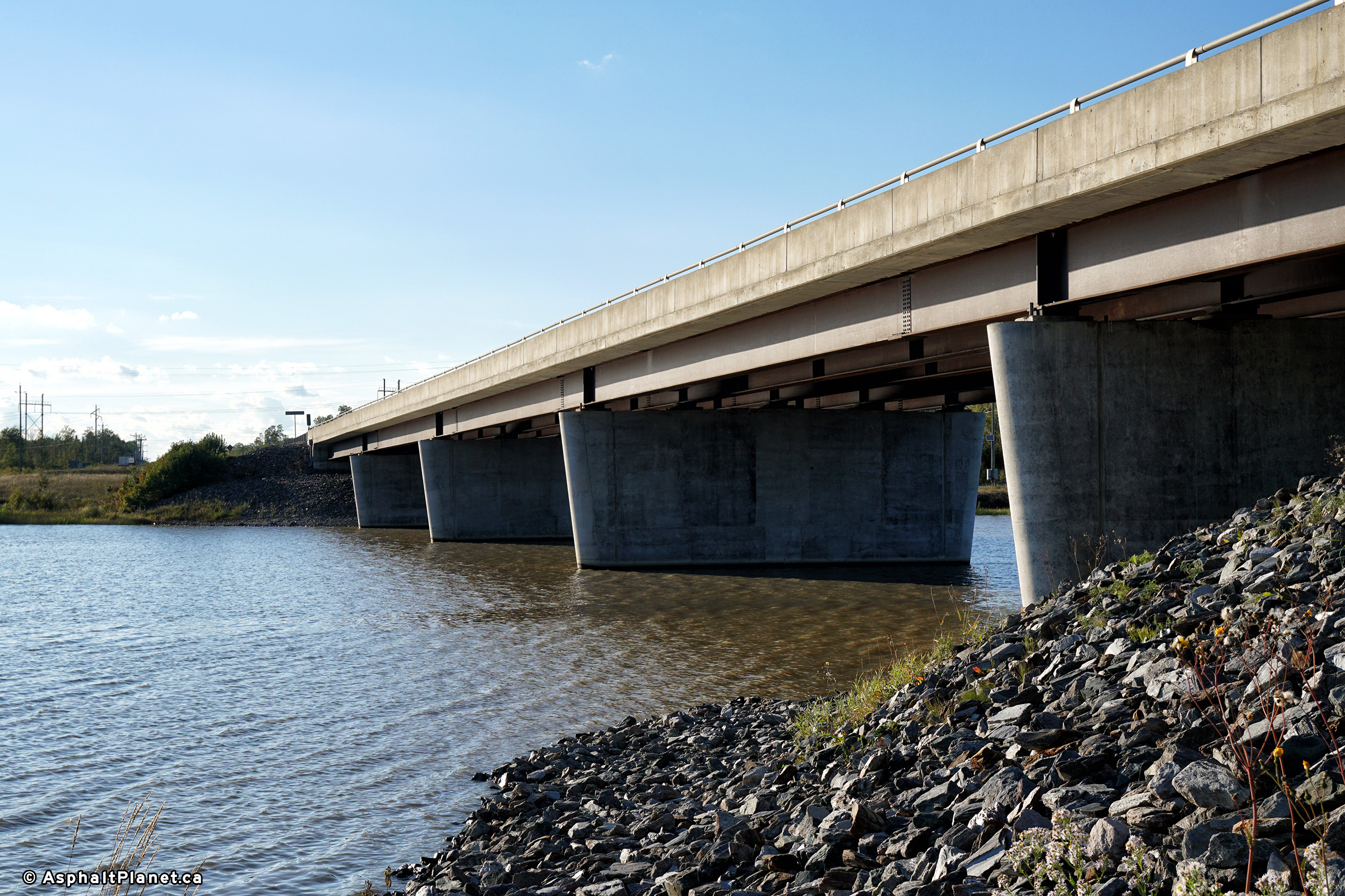
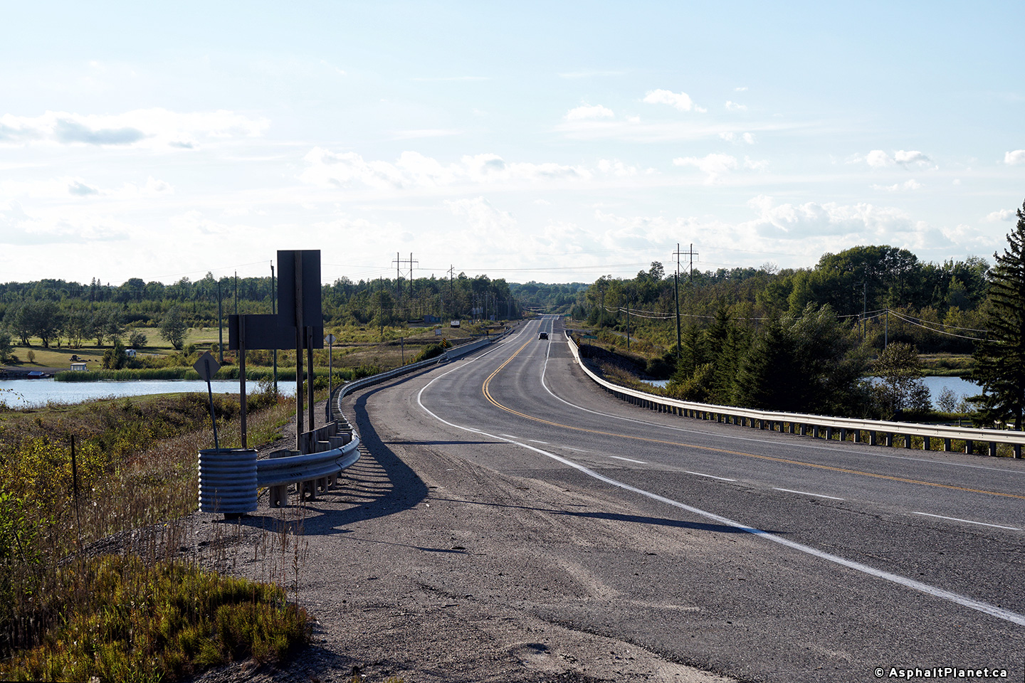
View looking southwesterly as Highway 101 crossed the Fredrickhouse River.
Photo taken: September 11th, 2018. |
(720x480)
(1440x960)
(2400x1600)
|
| City of Timmins |
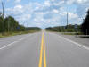
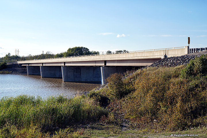
View looking westerly along Highway 101 as it crosses the Frederickhouse
River. Photo taken: September 11th, 2018. |
(720x480)
(1440x960)
(2400x1600) |
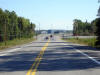
| Township of Black River-Matheson
District of Cochrane |
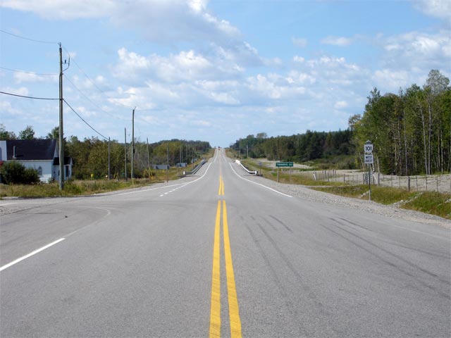
View looking west along Highway 101 from the Highway 577 junction.
Notice the odd font on the distance signage for Timmins. Picture taken:
August 28th, 2006. Low-res: 45kb. High-res: 175kb. |

Low-res
High-res |
| Township of Black River-Matheson
District of Cochrane |
View looking easterly towards Highway 11
from the Highway 577 junction. Picture taken: August 28th, 2006.
Size: 45kb. |
 |
 (720x480)

