King's Highway 11A - Images
Photos shown in this table are arranged from South to North:
|
Proper Municipality Name |
Photo Description |
Photo |
|
|
Pictures taken from driver's perspective appear offset from centre-line pictures: |
North- |
South- |
|
|
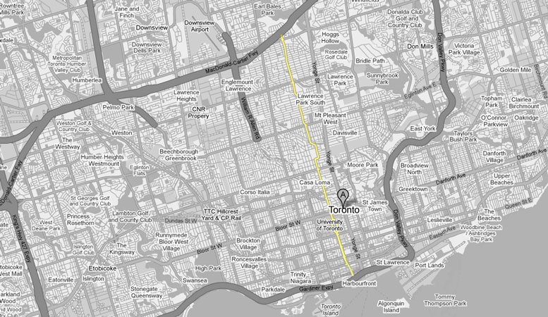
Highway 11A ends at the York, Bay and Yonge Street interchange at the Gardiner Expressway. Click here for Highway 2 images. |
|||
|
City of Toronto |
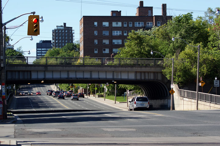
View of the CPR underpass, looking north from Dupont Street. This
underpass is mammoth for the two railway tracks that now utilize the route.
At one point passenger service ran along this line, servicing the nearby
North Toronto station. Photo taken: May 31st, 2009. |
|
|
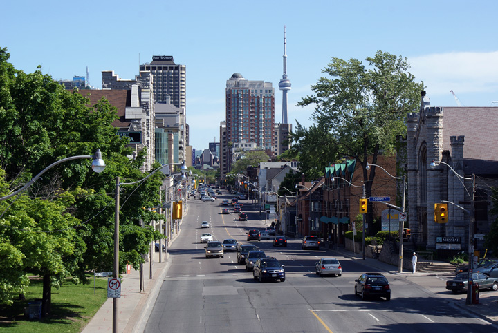
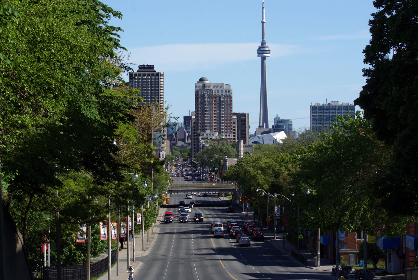
| City of Toronto |
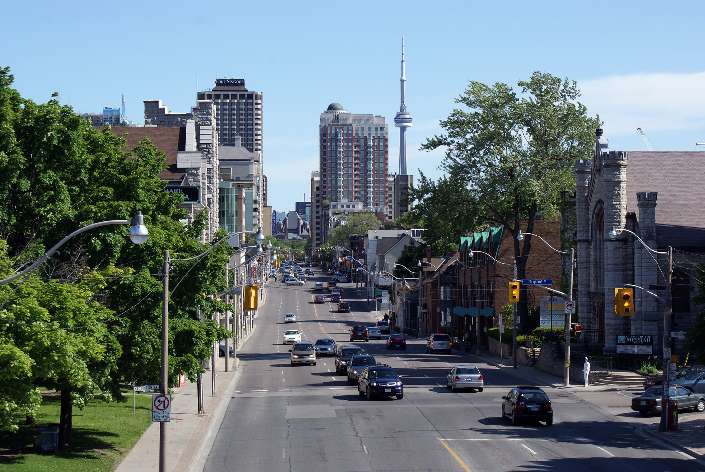
Southerly view of Avenue Road from the midtown CPR Railway overpass. This
website has been getting a little Toronto Centric of late -- Ontario's
Capital City is a beautiful city. It is the perfect flagship city for the
Province of Ontario. Photo taken: May 31st, 2009. |
 |
|
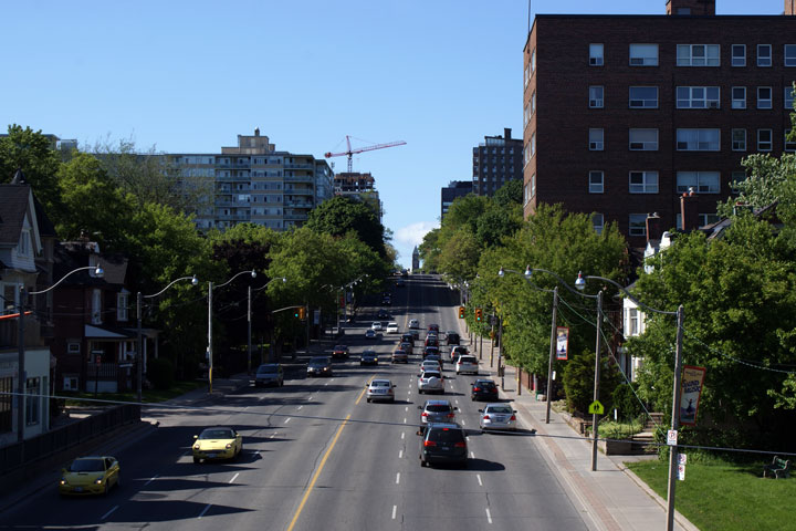
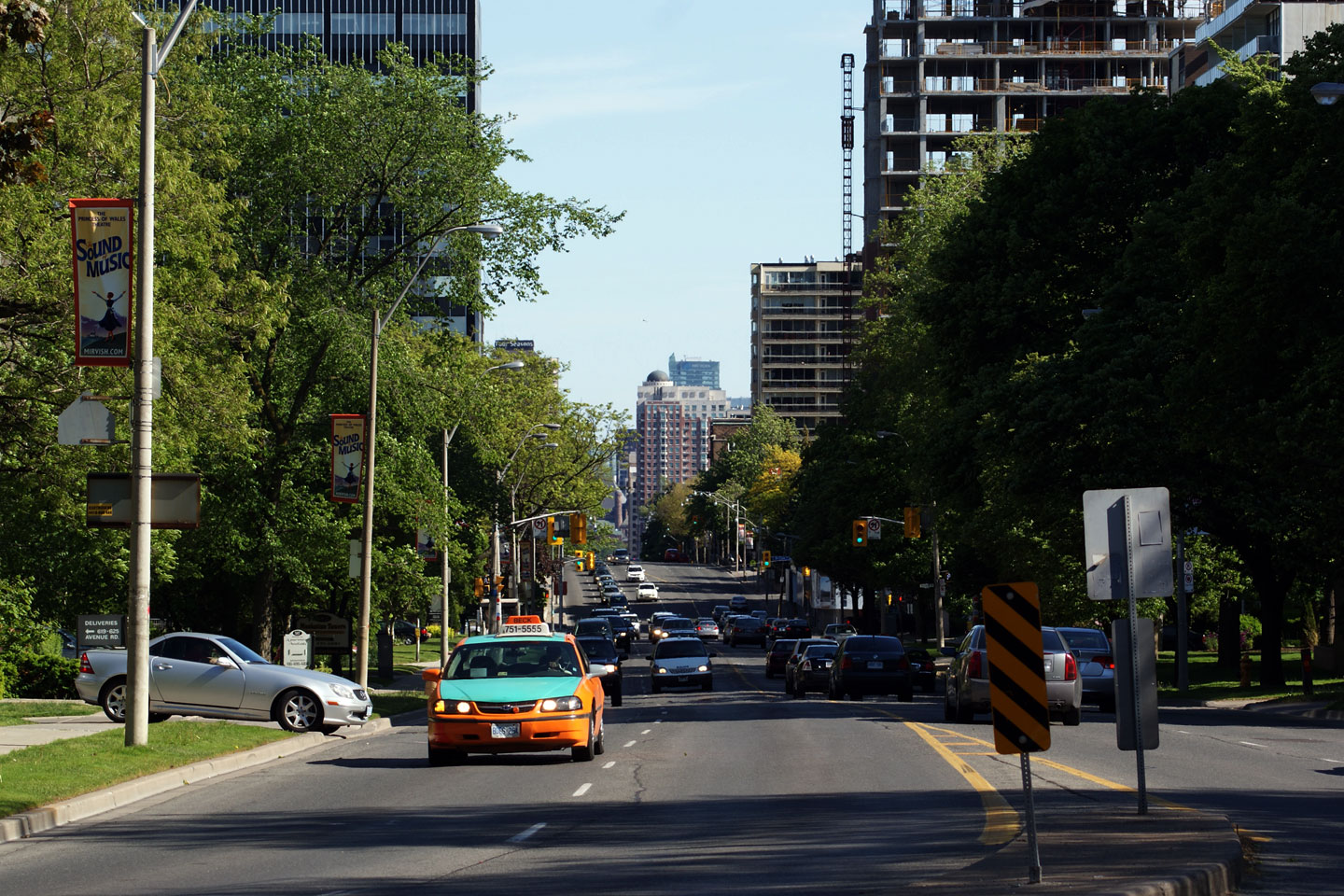
| City of Toronto |
View looking northerly along Avenue Road from the midtown CPR overpass. Photo taken: May 31st, 2009. |
 |
|
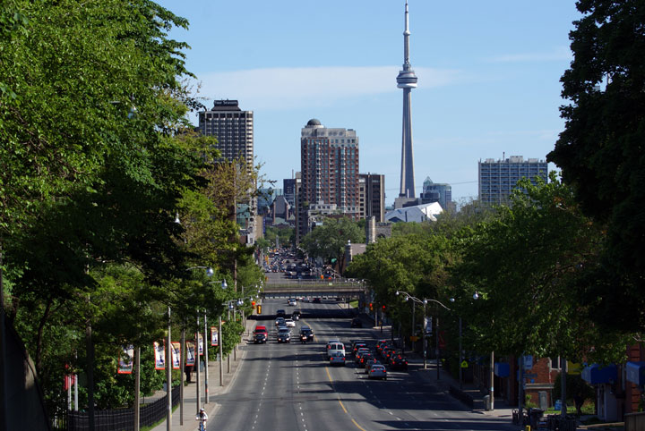
| City of Toronto |
Looking southerly from the top of the former Lake Iroquois Shoreline from
Poplar Plains Crescent. Photo taken: May 31st, 2009. |
 |
|
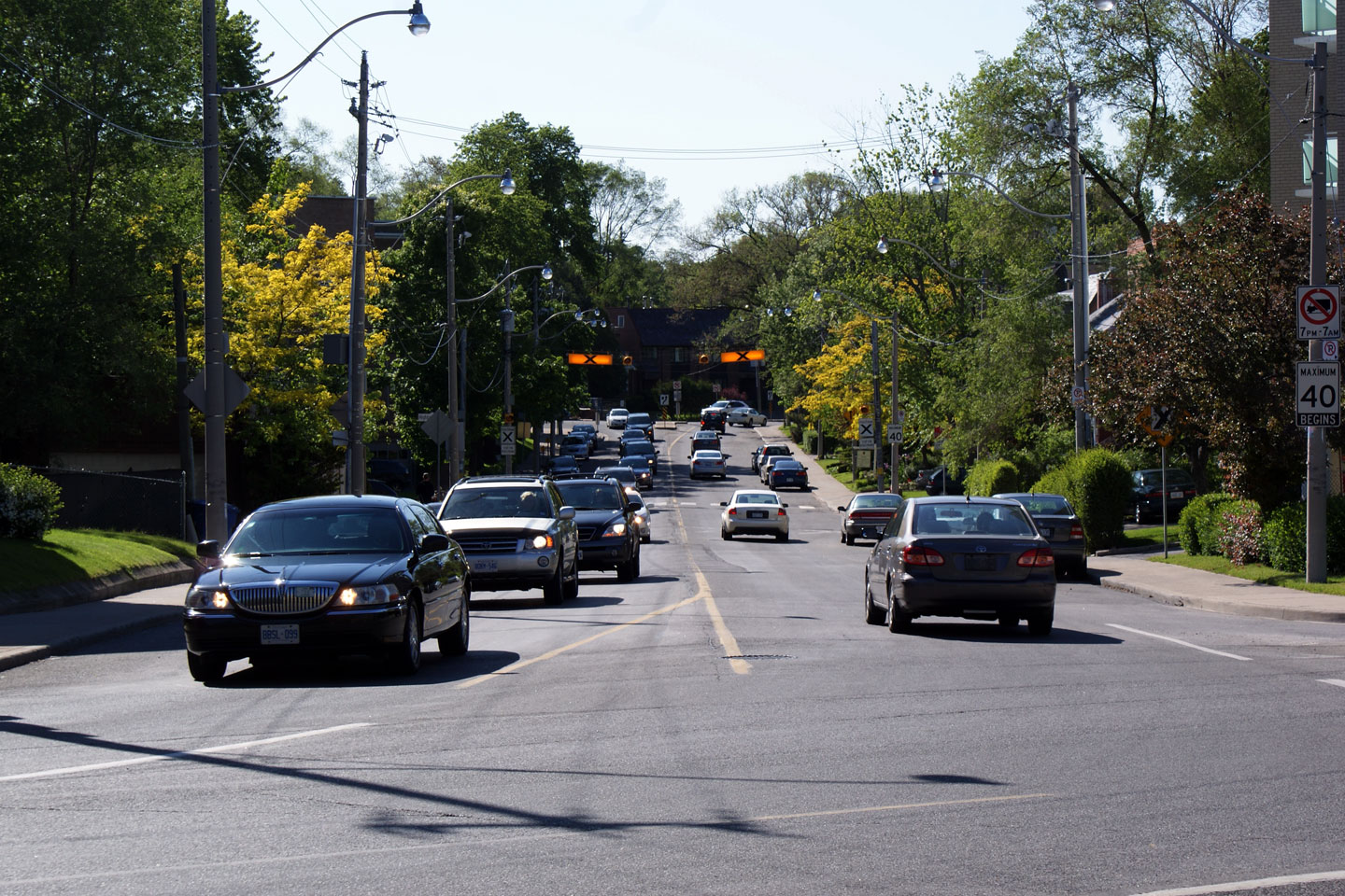
| City of Toronto |
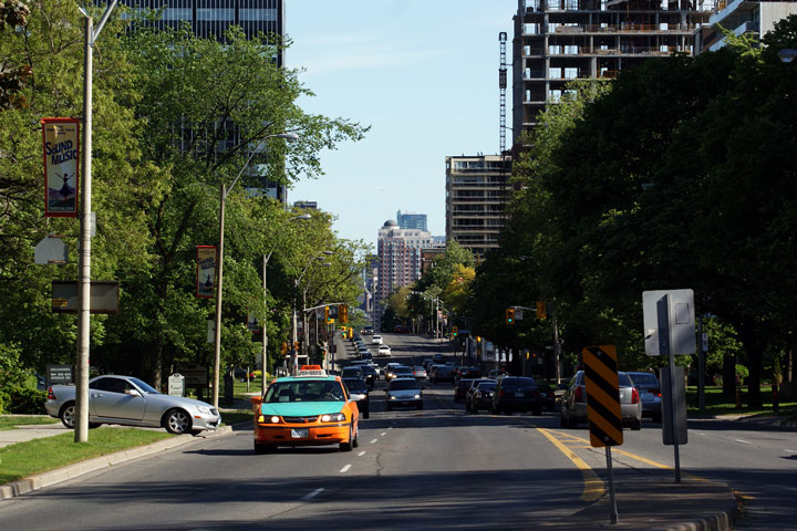
View looking southerly along Avenue Road from the Upper Canada College entrance. Upper Canada College is conveniently situated directly in the middle of Avenue Road. At one point there was a proposal to demolish the historic college to complete Avenue Road, fortunately this never happened. Photo taken: May 31st, 2009. |
 |
|
| City of Toronto |
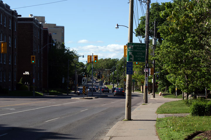
Sign directing northbound traffic to use Oxton Avenue back to Avenue Road from Oriole Parkway. References to Highway 11A are becoming few and far between.
Photo taken: May 31st, 2009. |
 |
|
| City of Toronto |
View looking northwesterly along Oxton Avenue. Highway 11A utilizes
Oxton Avenue to traverse between the Oriole Parkway and Avenue Road
alignments just to the north of Upper Canada College. Photo taken: May 31st, 2009. |
 |
|
| Highway 401 marks the northern terminus of Avenue Road and Highway 11A. Click here for Highway 401 images. | |||
<- Highway 11 Images
Back to
Highway 11A
Highway 11B (North Bay) Images ->
Images Index
Copyright (c) 2004-2010, AsphaltPlanet.ca AsphaltPlanet@asphaltplanet.ca