King's Highway 11B (Atikokan) - Images
Photos shown in this table are arranged from South to North:
|
Proper Municipality Name |
Photo Description |
Photo |
|
|
Pictures taken from driver's perspective appear offset from centre-line pictures: |
North- |
South- |
|
|
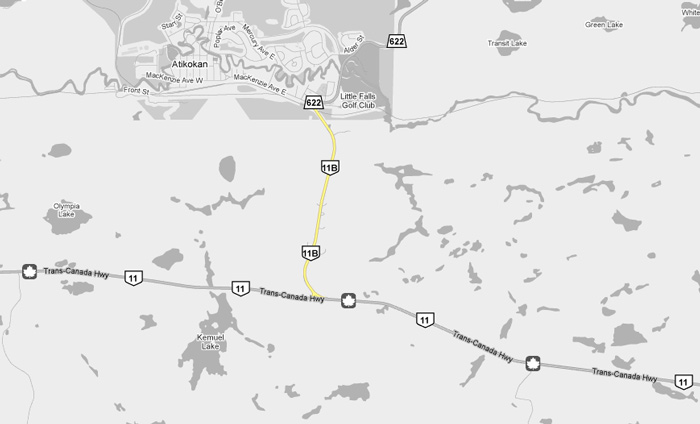
Highway 11B ends at Highway 11 about halfway between Fort Frances and Shabaqua Corners. Click here for Highway 11 images. |
|||
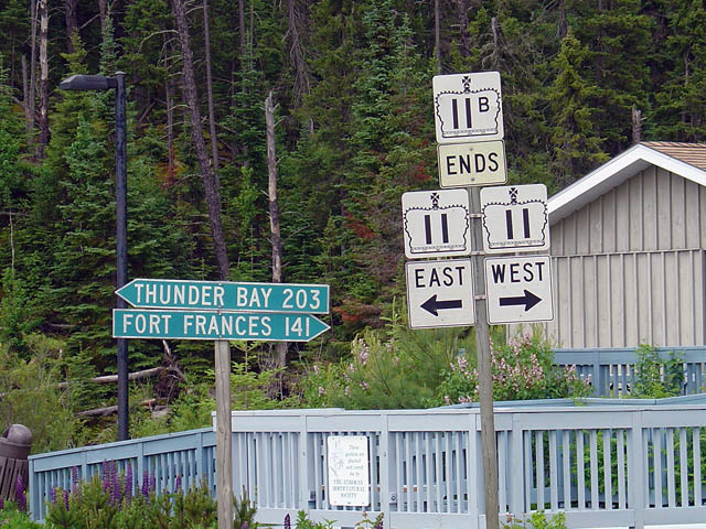
| Township of Atikokan |
Ends assembly for Highway 11B just south of Atikokan. Atkikokan is a
long way from anywhere. The little community of about 3,200 people is
located about
halfway between Shabaqua Corners and Fort Frances. Photo taken: July 3rd, 2004. |
 |
|
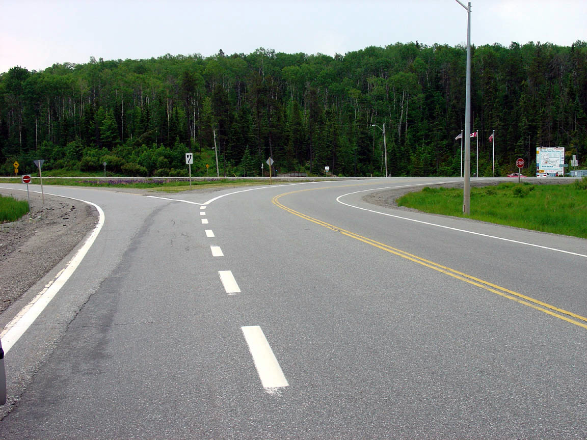
| Township of Atikokan |
Southerly view approaching the southern terminus of Atikokan's Highway 11B.
Photo taken: July 3rd, 2004. |
||
<- Highway 11B (Thunder Bay) Images
Back to
Highway 11B
Highway 12 Images ->
Images Index
Copyright (c) 2004-2011, AsphaltPlanet.ca AsphaltPlanet@asphaltplanet.ca
