|
Proper Municipality Name |
Photo Description |
Photo |
|
Pictures taken
from driver's perspective appear offset from centre-line pictures: |
North-
bound |
South-
bound |
|
Highway 6 Images continue southerly here (Coming
Soon!) |
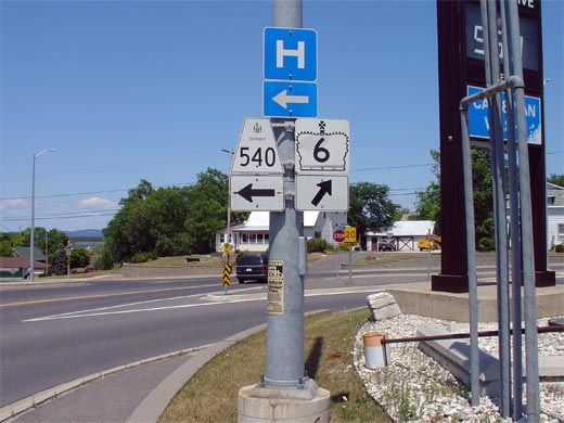
| Town of Northeastern Manitoulin
and the Islands District of Manitoulin |
Junction assembly for the Highway 6/540 junction in Little Current.
Click here for Highway 540 Images. Picture size: 45kb. |
 |
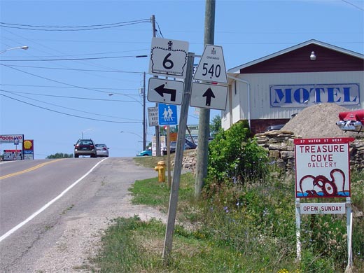
| Town of Northeastern Manitoulin
and the Islands District of Manitoulin |
Looking north towards the Highway 6/540 intersection. To continue
northerly along Highway 6, drivers must follow the ramp to the right.
Picture taken: July 2nd, 2005. Size: 45kb. |
 |
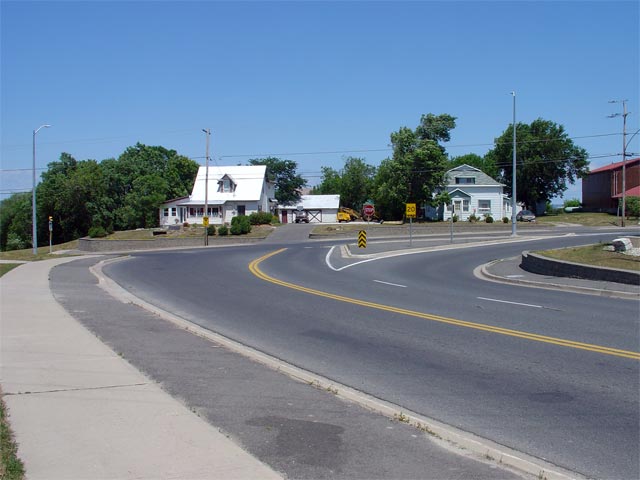
| Town of Northeastern Manitoulin
and the Islands District of Manitoulin |
Southbound advanced junction assembly for the Highway 6/540
junction. Southbound Highway 6 traffic heading towards South Baymouth must
turn left just beyond the crest of the hill visible in the photo.
Click here for Highway 540 Images.
Picture size: 50kb. |
 |
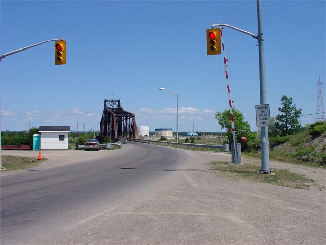
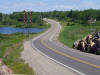
| Town of Northeastern Manitoulin
and the Islands District of Manitoulin |
Looking south towards Little Current from just south of the Little Current
Swing Bridge. As in many small communities, Little Current has control
over Highway 6 (and
Highway 540)
within their urbanized area through a connecting link agreement.
Unlike many municipalities however, Little Current pays the MTO for regular
maintenance operations through the community.
Picture taken: July 2nd, 2005. Size: 45kb. |
 |
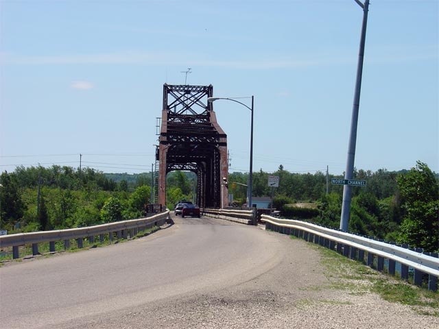
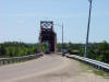
| Town of Northeastern Manitoulin
and the Islands District of Manitoulin |
Looking northerly through the Little Current Swing Bridge. This bridge
was constructed in 1913 to serve exclusively rail traffic from the mainland to Manitoulin Island. The bridge deck was modified in 1946 to allow both
vehicular and rail traffic. This situation existed until the 1980s
when rail service was discontinued on Manitoulin Island and the rails were
removed from the bridge.
Picture taken: July 2nd, 2005. Size: 45kb. |
 |
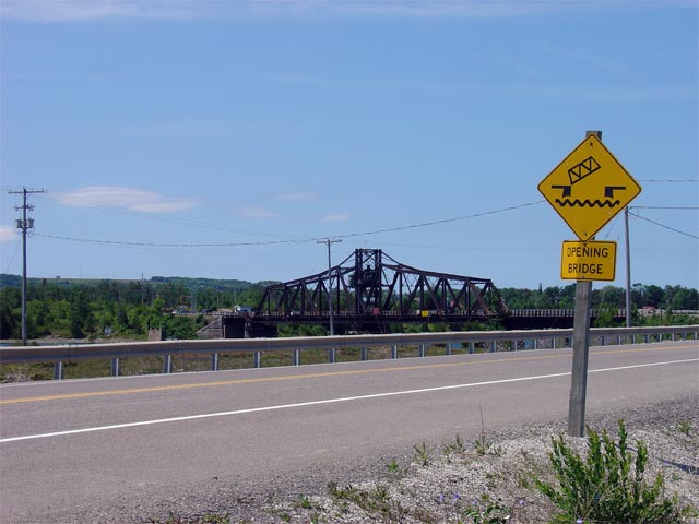
| Town of Northeastern Manitoulin
and the Islands District of Manitoulin |
Looking south through the Little Current Swing Bridge. During the
summer months, for 15 minutes every daylight hour, on the hour, the bridge swings open allowing boat traffic through the
North Channel. Click
here to see images of the swing opening and closing. (Coming Soon!)
Picture taken: July 2nd, 2005. Size: 50kb. |
 |
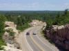
| Town of Northeastern Manitoulin
and the Islands District of Manitoulin |
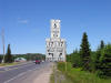
Looking north towards Espanola along Highway 6. Before 1998, Highway 6
followed the side street to the left just before the left-hand curve in the
photo. Click here for more information and more pictures of the
abandoned Goat Island alignment. (Coming Soon!)
Picture taken: July 2nd, 2005. Size: 60kb. |
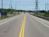 |
| Town of Northeastern Manitoulin
and the Islands District of Manitoulin |
Looking south towards the Little Current Swing Bridge from the northern
approach on Highway 6. Picture taken: July 2nd, 2005. Size: 50kb. |
 |
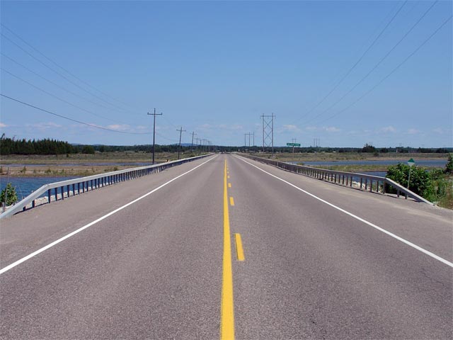
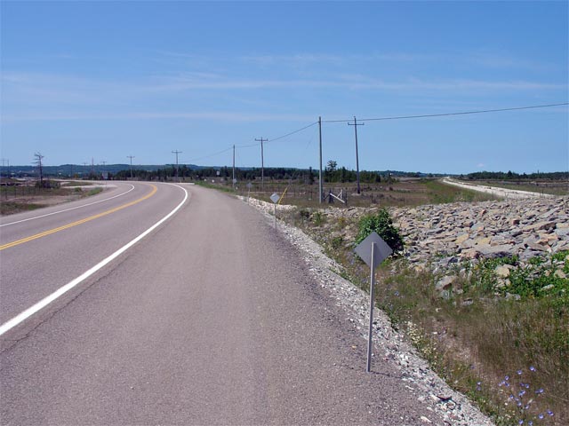
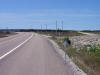
| Town of Northeastern Manitoulin
and the Islands District of Manitoulin |
Looking north along the causeway that links Goat Island to La Cloche Island.
Highway 6 island hops Goat Island and La Cloche Island en route from
Manitoulin Island to the La Cloche Peninsula on the mainland.
Picture taken: July 2nd, 2005. Size: 45kb. |
 |
| Town of Northeastern Manitoulin
and the Islands District of Manitoulin |
Looking south on Goat Island to the start of the Goat Island Diversion.
This realignment was completed in 1998 to bypass two sharp curves on Goat
Island. The new alignment follows the long abandoned railway
alignment.
Picture taken: July 2nd, 2005. Size: 55kb. |
 |
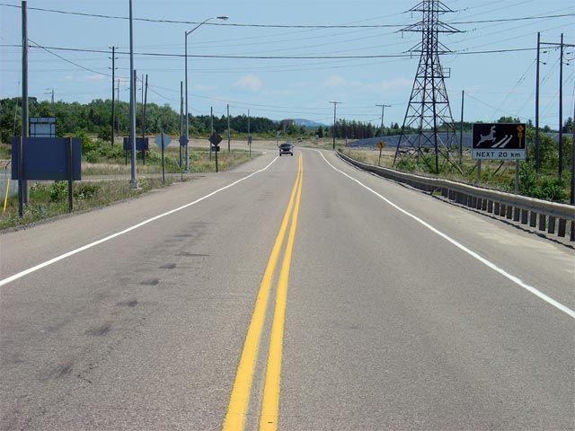
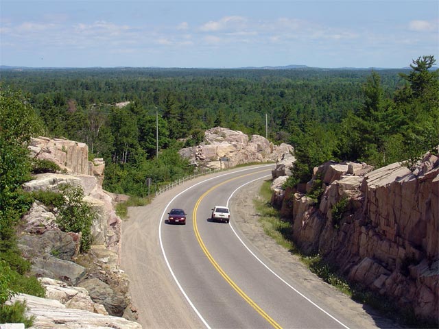
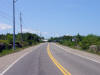
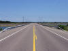
| District of Sudbury |
Looking northerly through the La Cloche Mountains on Highway 6. Picture
taken: July 2nd, 2005. Size: |
 |
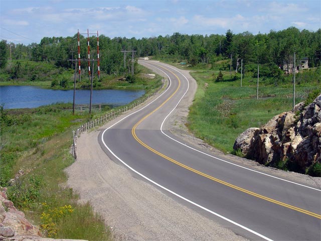
| Town of Espanola District of
Sudbury |
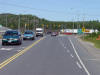
Looking northerly along Highway 6 towards the Hopkins Hill Road
intersection. Hopkins Hill Road is located roughly 10km south of
Espanola. Picture taken: July 2nd, 2005. Size: 70kb. |
 |
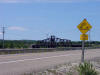
| Township of Baldwin District of
Sudbury |
Junction signage denoting the northern terminus of Highway 6 at
Highway 17. Picture size: 35kb. |
 |
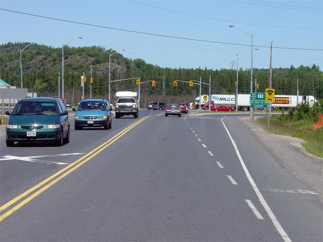
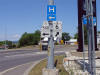
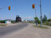
| Township of Baldwin District of
Sudbury |
Looking northerly on Highway 6 towards the signalized intersection with
Highway 17. This intersection is
surprisingly busy during the summer months. Picture taken: July 2nd, 2004.
Size: 50kb. |
 |
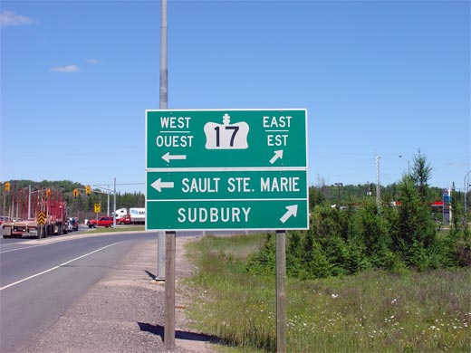
| Township of Baldwin District of
Sudbury |
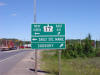
Green sign denoting the Highway 17
intersection. Click
here for Highway 17 Images. Picture size: 40kb. |
 |