|
Proper Municipality Name |
Photo Description |
Photo |
|
Pictures taken
from driver's perspective appear offset from centre-line pictures: |
North-
bound |
South-
bound |
Township of Champlain
County of Prescott and Russell |
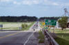
View looking northerly along Highway 34 from the Highway 417 interchange.
Though Highway 34 is quite deteriorated at the Highway 417 interchange, the
rest of the highway, northerly to Hawkesbury is in excellent shape. Picture taken:
May 24th, 2010. |
Low Res
High Res |
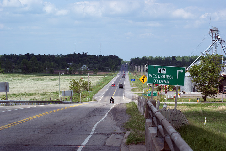
Township of Champlain
County of Prescott and Russell |
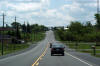
This view looks southerly as Highway 34 approaches Vankleek Hill.
Vankleek Hill is the only major community along Highway 34 between Highway
417 and Hawkesbury. Picture taken: May 24th, 2010. |
Low Res
High Res |
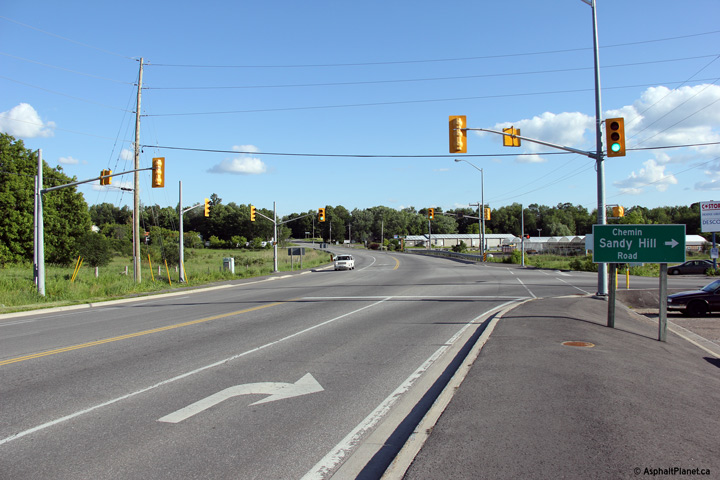
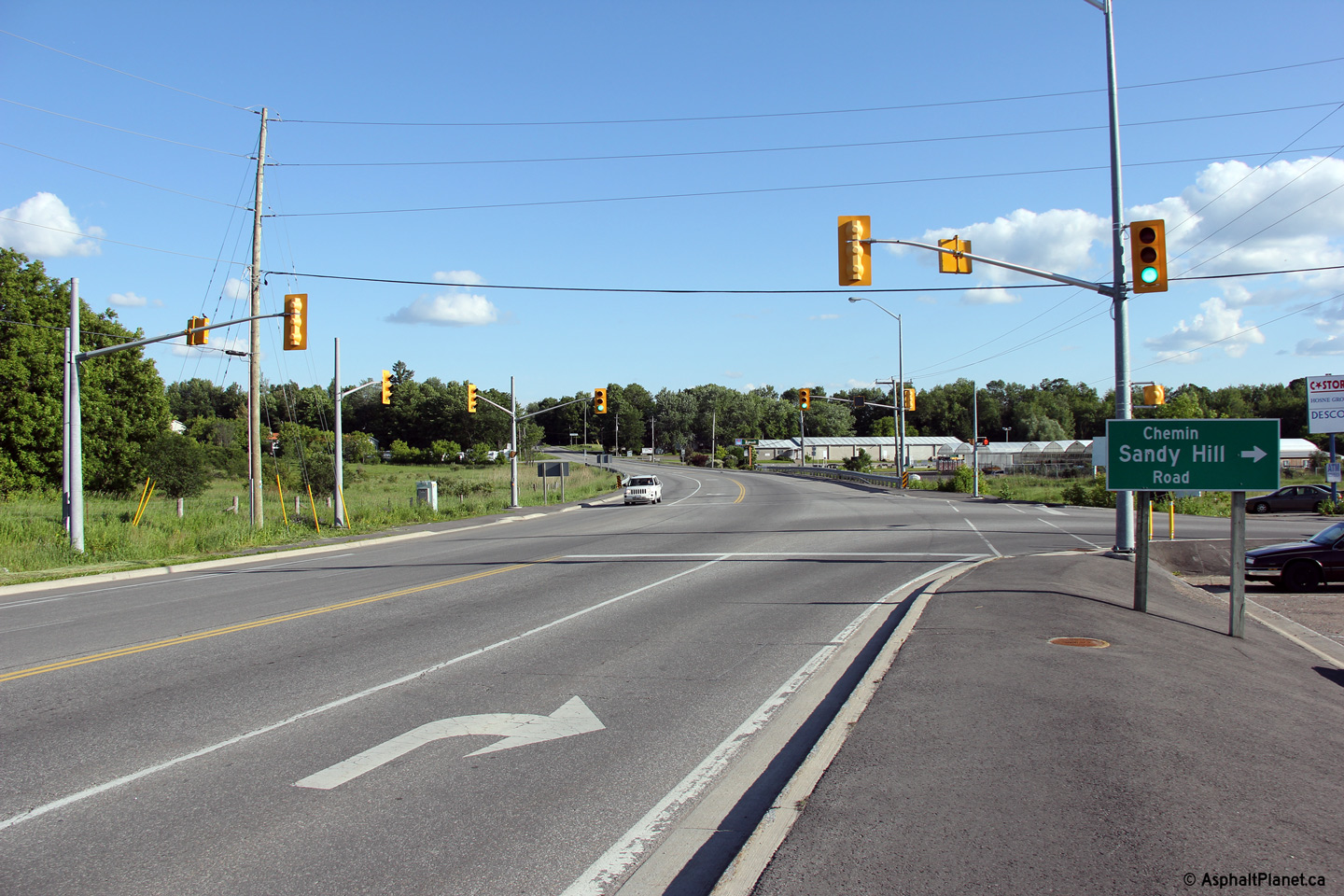
Township of Champlain
County of Prescott and Russell |
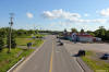
Southerly view along Highway 34 at the Sandy Hill Road intersection.
This intersection is located only a short distance south of the Highway 17
interchange.
Photo taken: June 18th, 2013. |
(720x480)
(1440x960)
(2400x1600) |
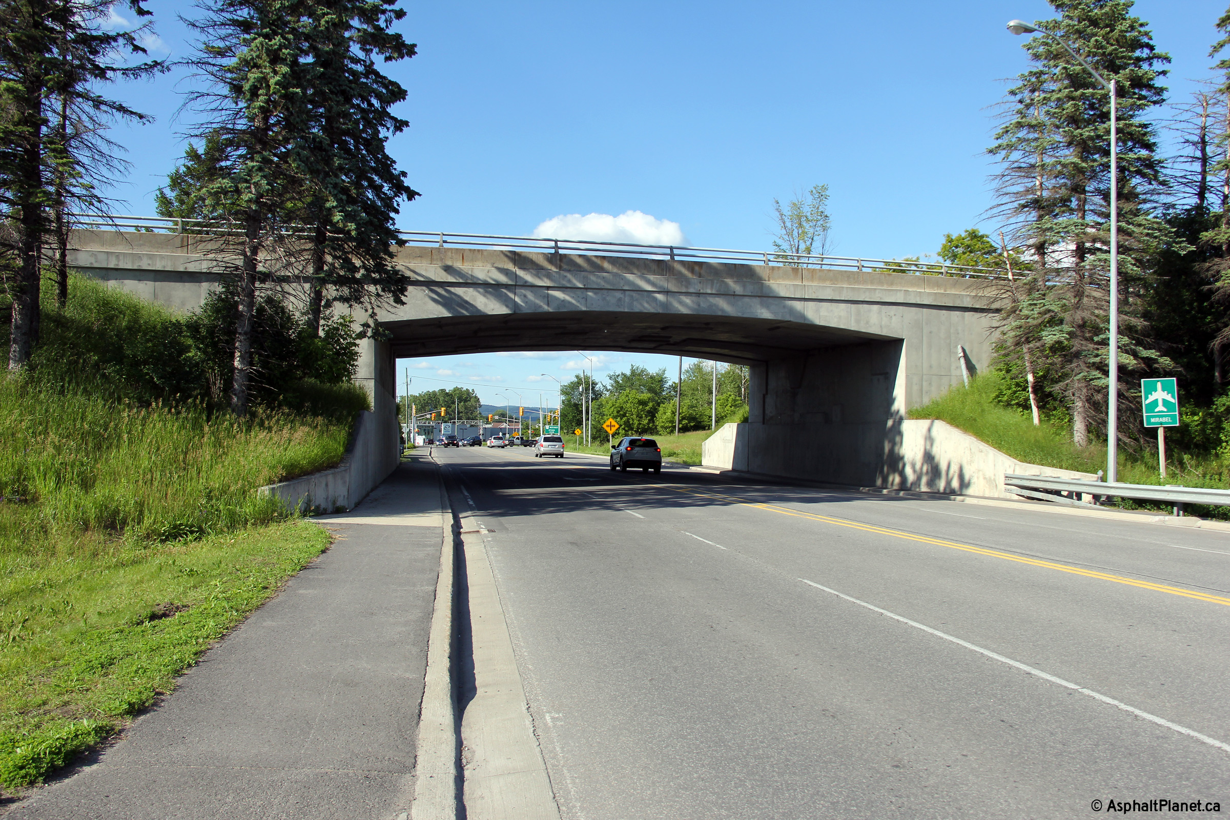
Township of Champlain
County of Prescott and Russell |
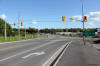
Northerly view approaching the Highway 17 grade separation. This 1950s
era structure was last rehabilitated in 1981.
Photo taken: June 18th, 2013. |

(720x480)
(1440x960)
(2400x1600) |
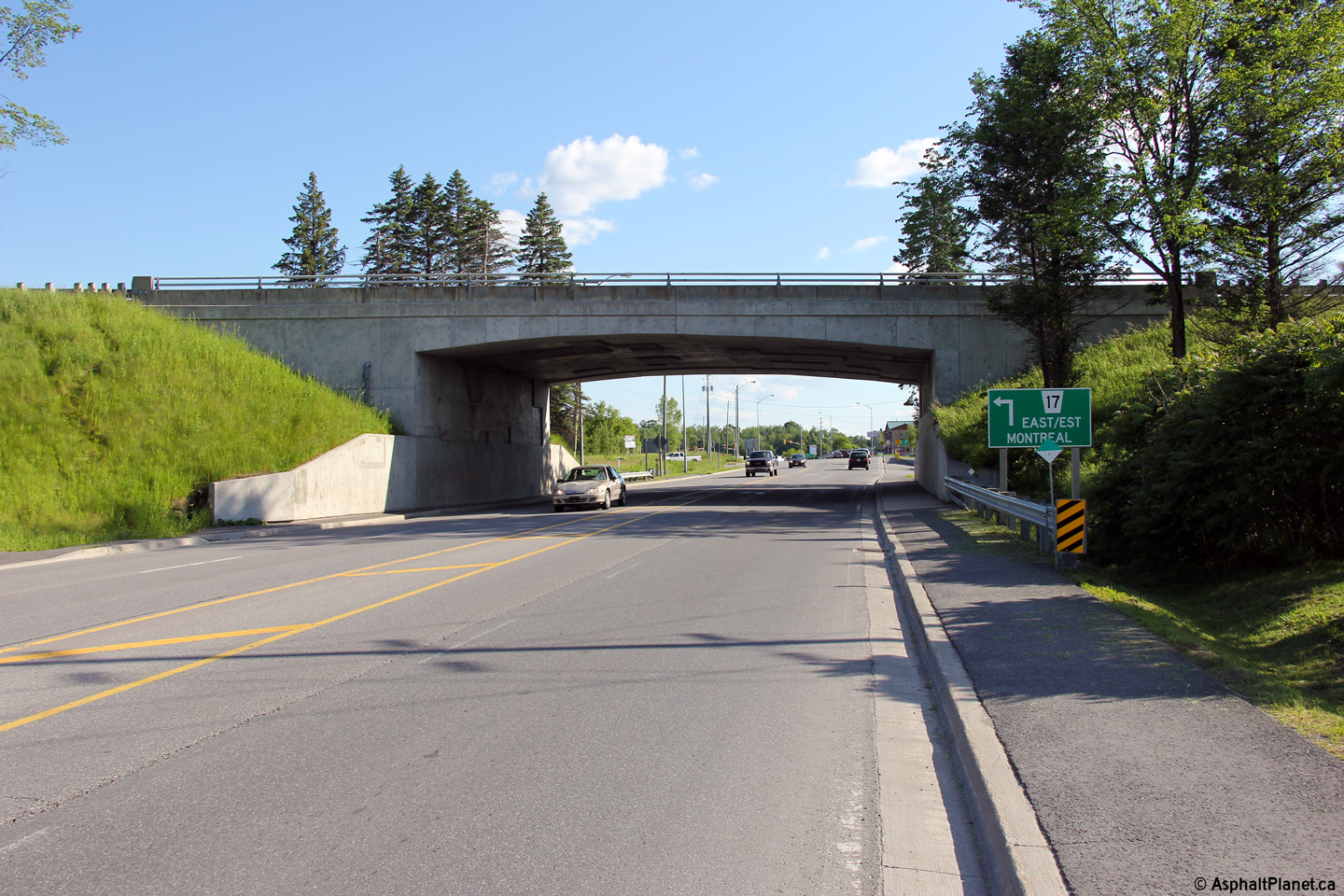
Township of Champlain
County of Prescott and Russell |
Southerly view along Highway 34 from the Highway 17 grade separation.
Photo taken: June 18th, 2013. |
(720x480)
(1440x960)
(2400x1600) |
|
Highway 17 is a major highway spanning across Ontario from
Manitoba to Québec.
Click here for Highway
17 images. |
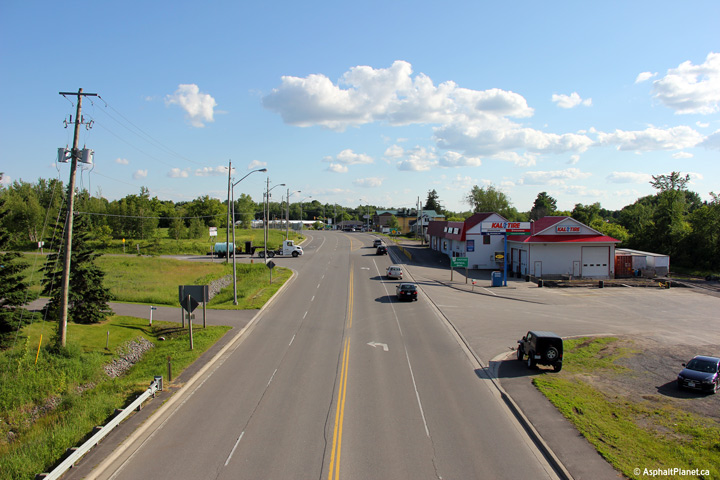
Township of Champlain
County of Prescott and Russell |
Northerly view towards Downtown Hawkesbury from the Highway 17 grade
separation.
Photo taken: June 18th, 2013. |
(720x480)
(1440x960)
(2400x1600) |
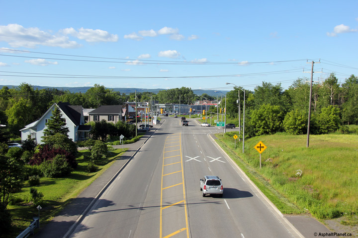
Township of Champlain
County of Prescott and Russell |
Southerly view towards the Highway 17 grade separation. This grade
separation and interchange was completed during the mid-1950s as part of a
project that saw a large portion of Highway 17 relocated to a new southern
alignment in order to by-pass several communities, including Hawkesbury.
Photo taken: June 18th, 2013. |

(720x480)
(1440x960)
(2400x1600) |


