|
Proper Municipality Name |
Photo Description |
Photo |
|
Pictures taken
from driver's perspective appear offset from centre-line pictures: |
North-
bound |
South-
bound |
| Township of Tay County of
Simcoe |
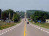
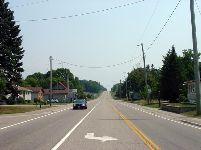
View looking northerly along Highway 93 as the highway nears the Highway 27
junction at Waverly. Until the 1980s, this marked the northern
terminus of Highway 93, as Highway 27 continued north of Waverly into
Penetanguishene.
Picture taken: August 2nd, 2007. Low-res: 50kb. High-res: 185kb. |
Low-res
High-res |
| Township of Tay County of
Simcoe |
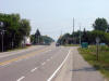
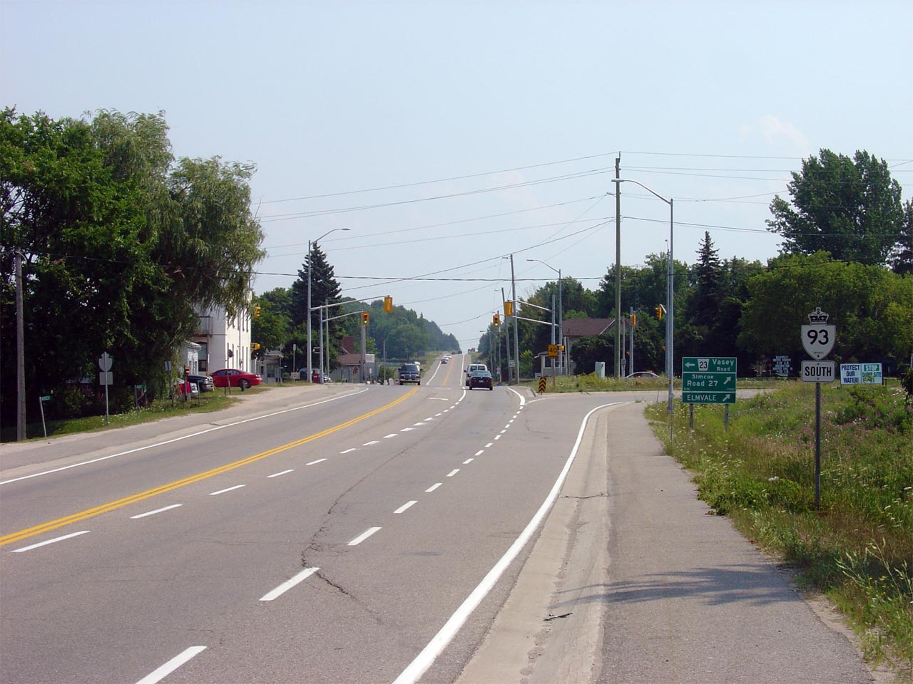
View looking southerly along Highway 93 from the Highway 27 junction.
Picture taken: August 2nd, 2007. Low-res: 45kb. High-res: 160kb. |

Low-res
High-res |
|
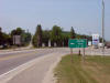
Highway 27 begins its trek south
to Toronto at Waverly.
Click here for Highway 27 images. |
| Township of Tay County of
Simcoe |
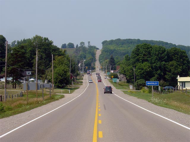
View looking southerly along Highway 93 as the highway nears the Highway 27
junction. Notice the remainder Highway 93 south marker -- this is all
that remains of the former Highway 27/93 junction assembly. Highway 27
was downloaded virtually in its entirety in 1998.
Picture taken: August 2nd, 2007. Low-res: 50kb. High-res: 185kb. |
Low-res
High-res |
| Township of Tay County of
Simcoe |
Interesting signage treatment for the southern Darby Road junction along
Highway 93 in Waverly. Picture taken: August 2nd, 2007. Size: 70kb |
 |

