|
Proper Municipality Name |
Photo Description |
Photo |
|
Pictures taken
from driver's perspective appear offset from centre-line pictures: |
East-
Bound |
West-
Bound |
|
Highway 26 leads traffic between Owen Sound and Barrie
along the Southern Shore of Georgian Bay.
Click here for Highway 26 images. |
|
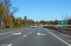
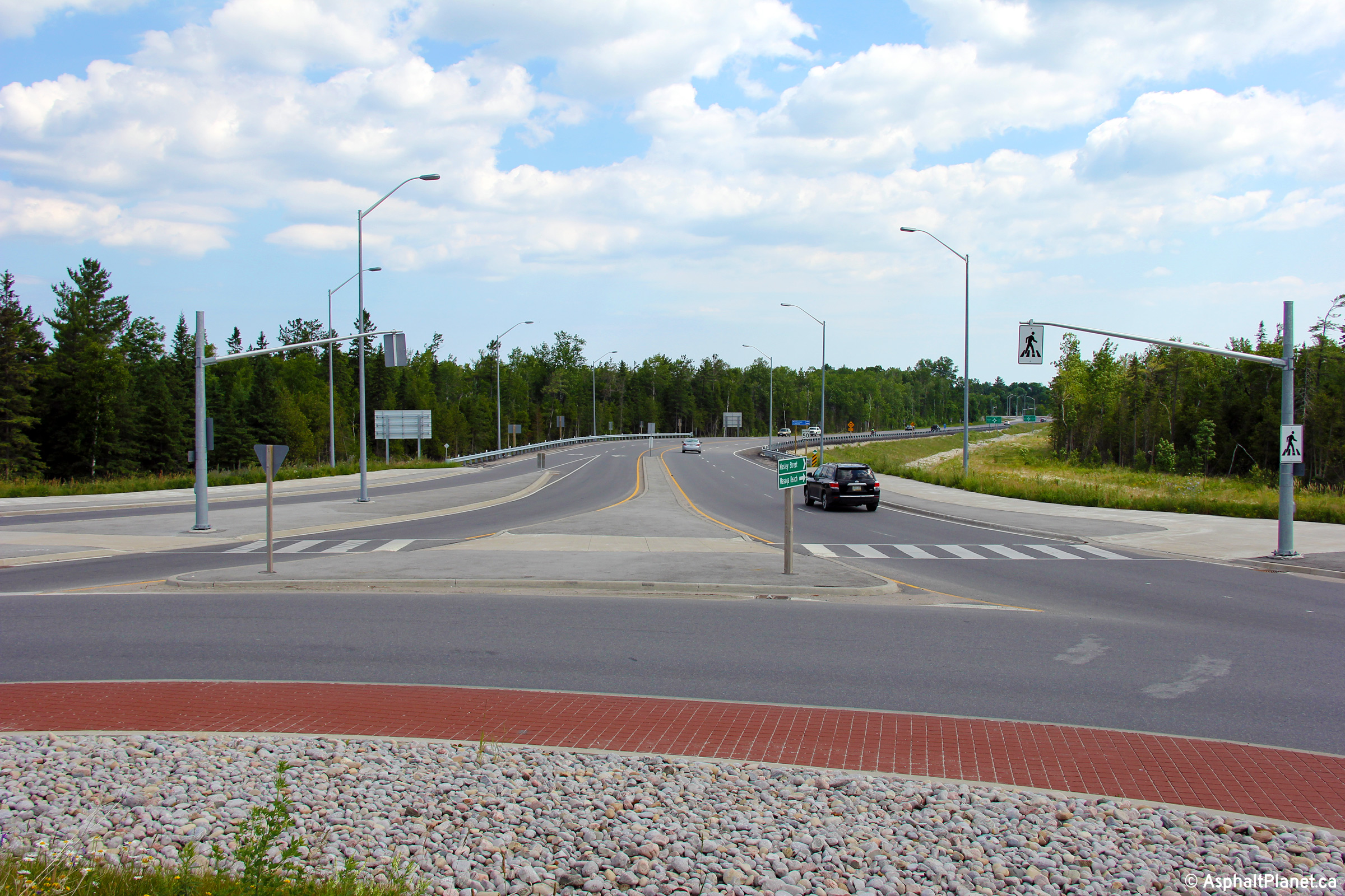
Town of Wasaga Beach |
This view looks easterly on today`s Mosely Street. This portion of
roadway was technically never part of Highway 92 as it was constructed over
a decade after Highway 92 was transferred to local municipalities. It
is the natural extension of Highway 92 that was constructed when Highway 26
was realigned to a new western alignment, and is itself maintained by MTO as
Highway 7149.
Photo taken: July 6th, 2014. |
(720x480)
(1440x960)
(2400x1600) |
|
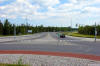
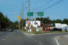
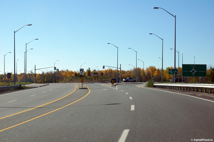
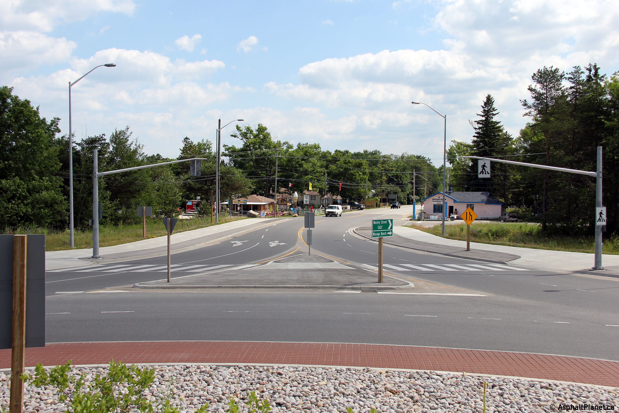
Town of Wasaga Beach |
Destination signage at the Highway 26 roundabout.
Photo taken: October 22nd, 2014. |
 (720x480)
(1440x960)
(2400x1600) |
|
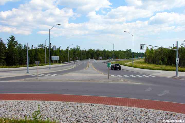
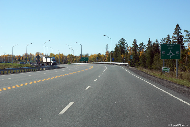
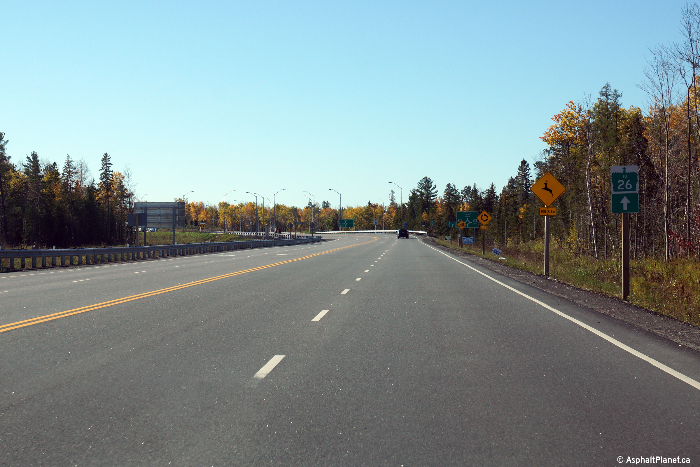
Town of Wasaga Beach |
Signage approaching the Highway 26 roundabout along Highway 7149.
Photo taken: October 22nd, 2014. |
 (720x480) (720x480)
(1440x960)
(2400x1600) |
|
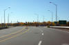
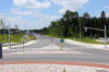
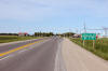
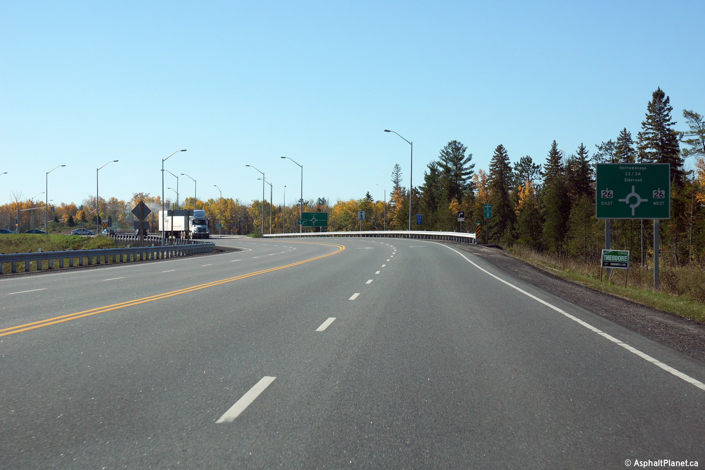
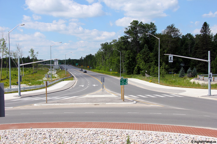
Town of Wasaga Beach |
Westerly view between the Beachwood Road and Highway 26 roundabouts.
Photo taken: October 22nd, 2014. |
 (720x480) (720x480)
(1440x960)
(2400x1600) |
|
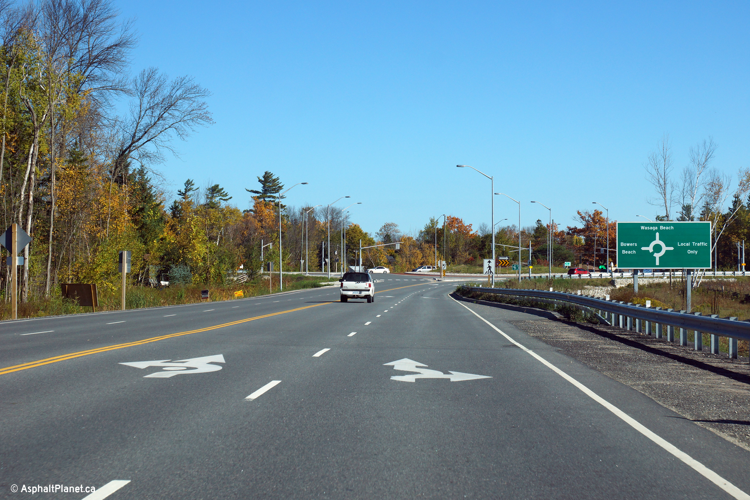
Town of Wasaga Beach |
Easterly view nearing the Beachwood Road roundabout. Beachwood Road is
the former alignment of Highway 26 that was bypassed in late 2012 by the new
four-lane alignment. As of October, 2014, Beachwood Road is still
Maintained by the province and is designated as Highway 7148.
Photo taken: October 22nd, 2014. |
 (720x480) (720x480)
(1440x960)
(2400x1600) |
|
Town of Wasaga Beach |
Destination signage at the Beachwood Road roundabout.
Photo taken: October 22nd, 2014. |
 (720x480) (720x480)
(1440x960)
(2400x1600) |
|
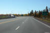
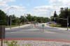
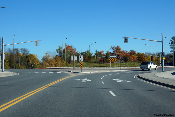
Town of Wasaga Beach |
Easterly view at the Beachwood Road roundabout.
Photo taken: October 22nd, 2014. |
 (720x480) (720x480)
(1440x960)
(2400x1600) |
|
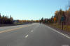
Town of Wasaga Beach |
Westerly view towards Highway 26 from the Beachwood Road roundabout.
Photo taken: July 6th, 2014. |
(720x480)
(1440x960)
(2400x1600) |
|
Town of Wasaga Beach |
Easterly view along Highway 92 from the Beachwood Road roundabout towards
Downtown Wasaga Beach.
Photo taken: July 6th, 2014. |
(720x480)
(1440x960)
(2400x1600) |
|
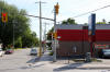
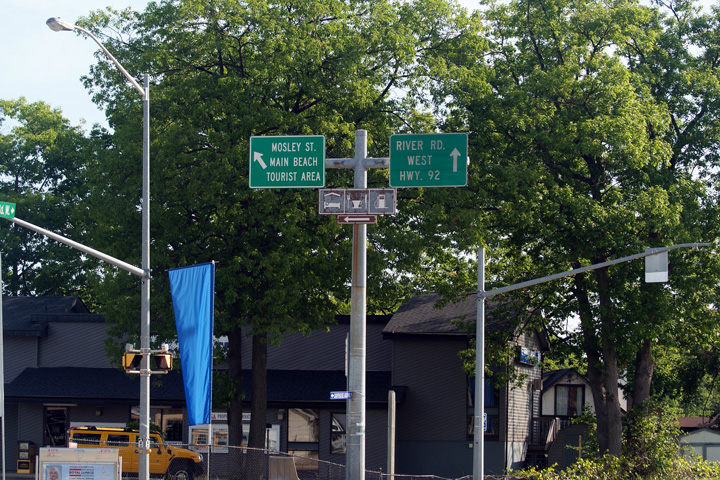
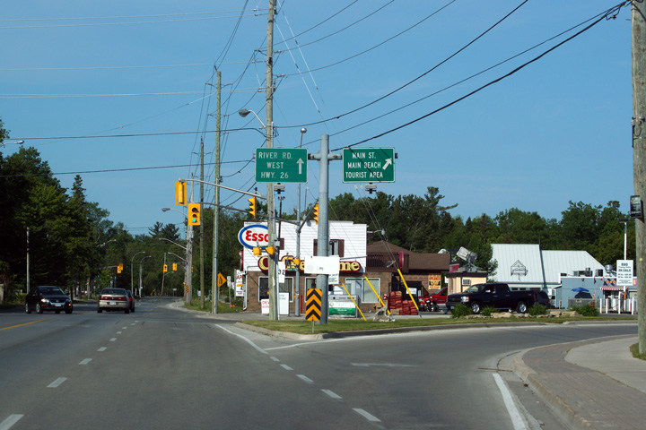
Town of Wasaga Beach |
Eastbound view at the Western Main Street junction in Wasaga Beach.
Highway 92 follows River Road to the right.
Photo taken: June 19th, 2011. |
 (720x480) (720x480)
(1440x960)
(2400x1600) |
|
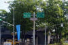
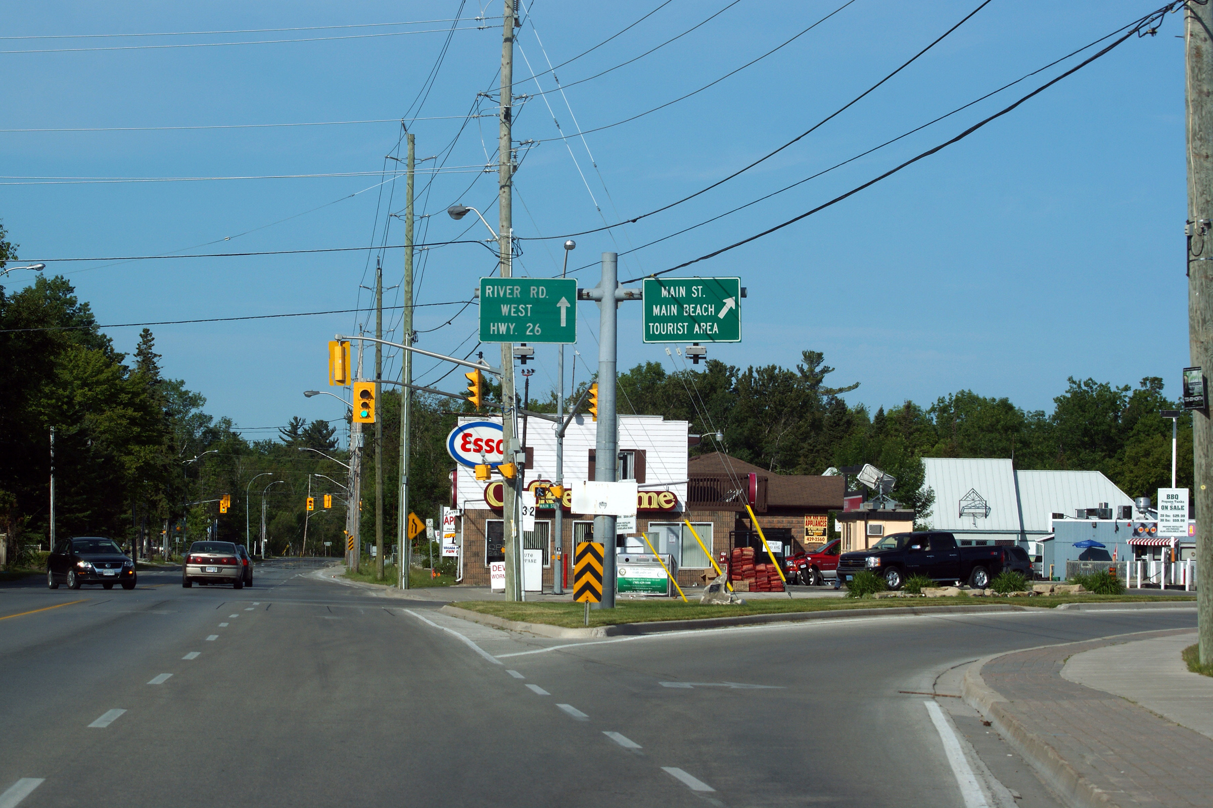
Town of Wasaga Beach |
Westbound view at the Eastern Main Street intersection. River Road
(Highway 92) is a by-pass of Wasaga Beach's Main Street.
Photo taken: June 19th, 2011. |
 (720x480) (720x480)
(1440x960)
(2400x1600) |
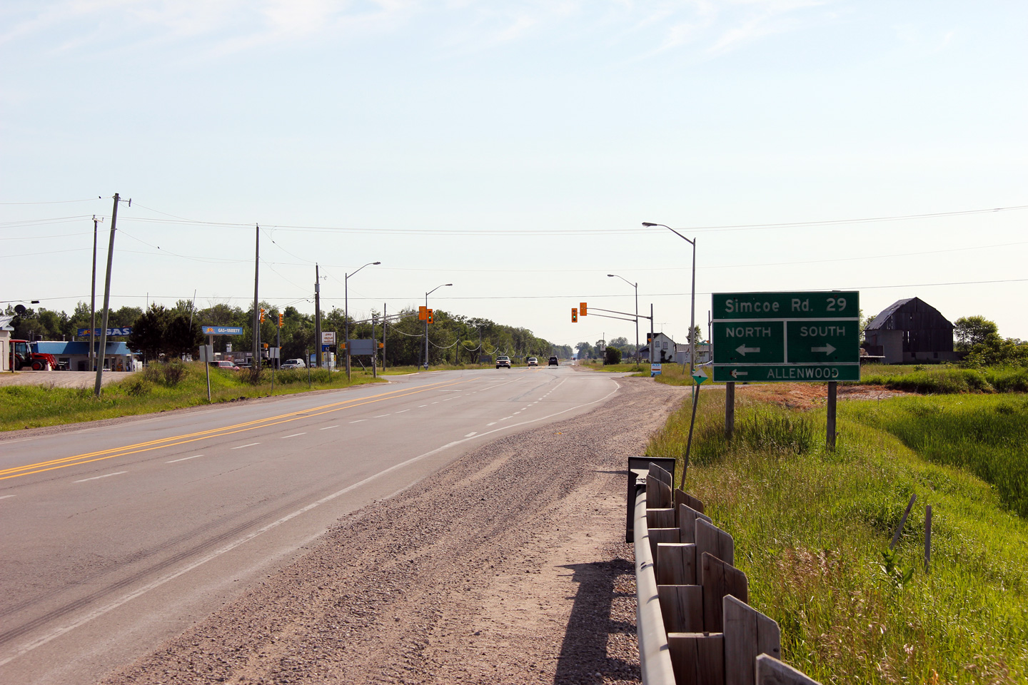
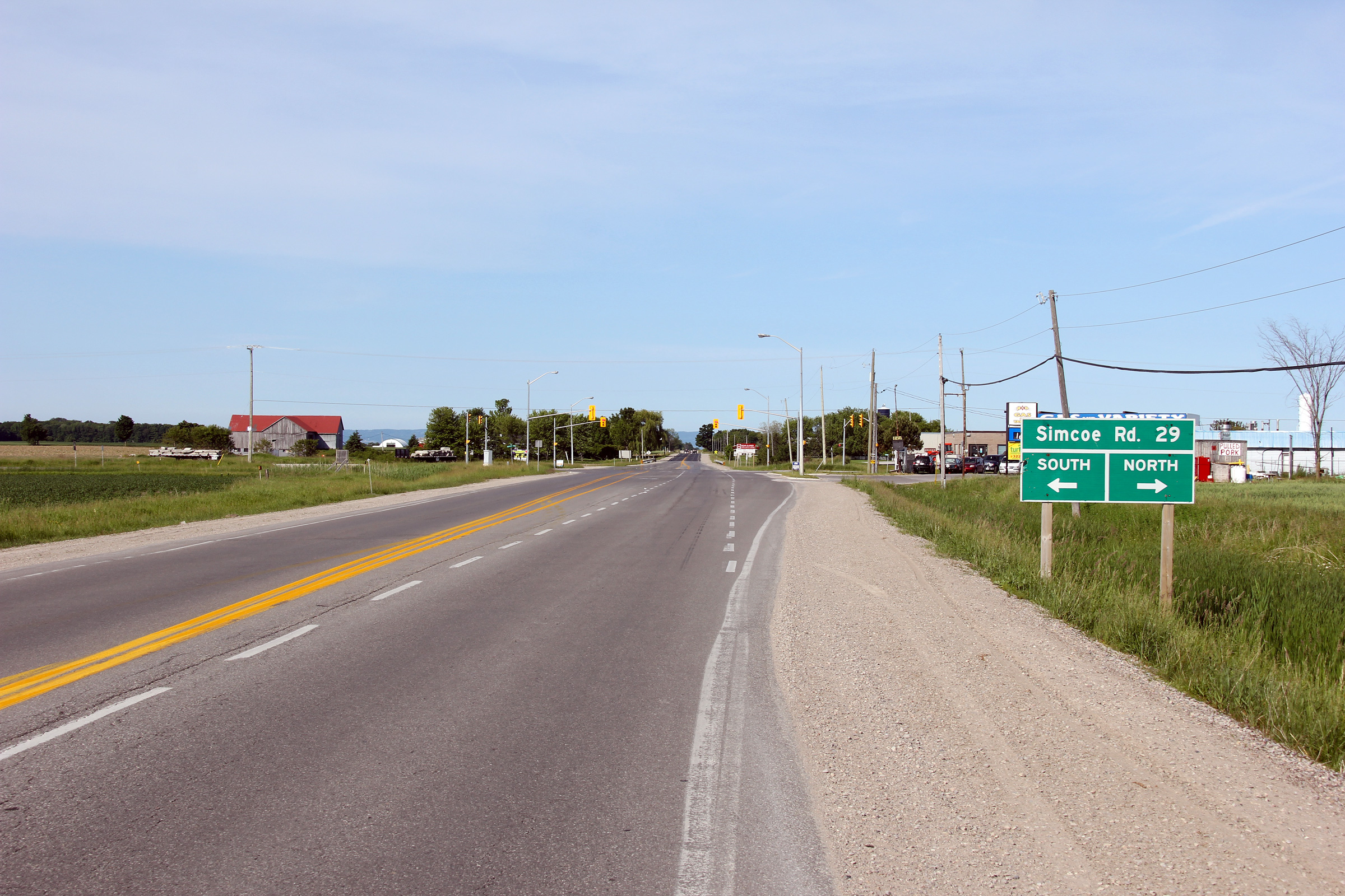
Township of Springwater
County of Simcoe |
View looking easterly along Highway 92 approaching the Simcoe Road 29
intersection. Notice the seemingly ancient green sign directing
traffic towards Simcoe Road 29. During the 1980s and prior, MTO used
this intersection sign design almost exclusively.
Photo taken: June 19th, 2011. |

(720x480)
(1440x960)
(2400x1600) |
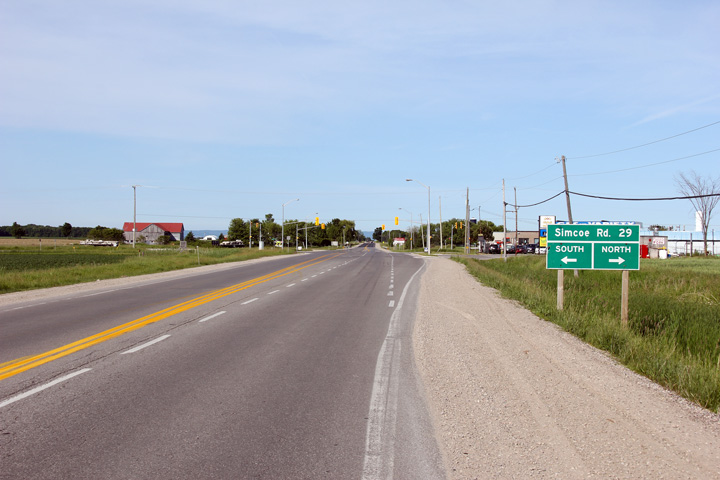
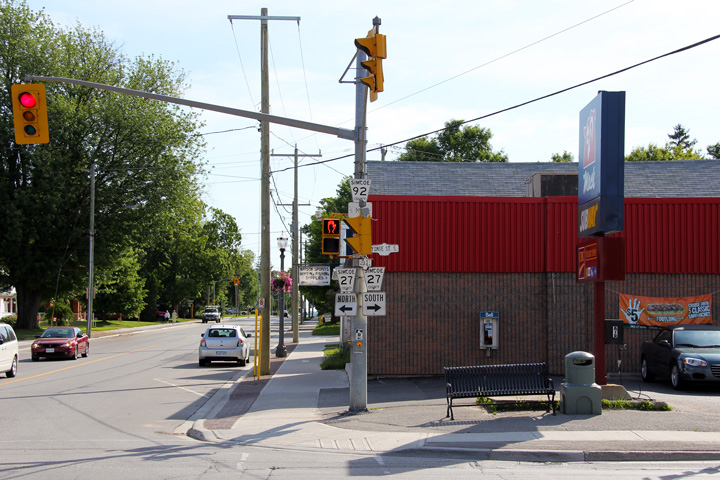
Township of Springwater
County of Simcoe |
View looking westerly towards the Simcoe Road 29 intersection. The
signage in this direction appears to be much newer.
Photo taken: June 19th, 2011. |
(720x480)
(1440x960)
(2400x1600) |
Township of Springwater
County of Simcoe |
View looking easterly at the former eastern terminus of the former Highway
92 at the former Highway 27 in Elmvale.
Photo taken: June 19th, 2011. |
 (720x480) (720x480)
(1440x960) |
|
Highway 92 ends at Highway 27 in Elmvale.
Click here for Highway 27 images. |
 (720x480)
 (720x480)
 (720x480)
 (720x480)
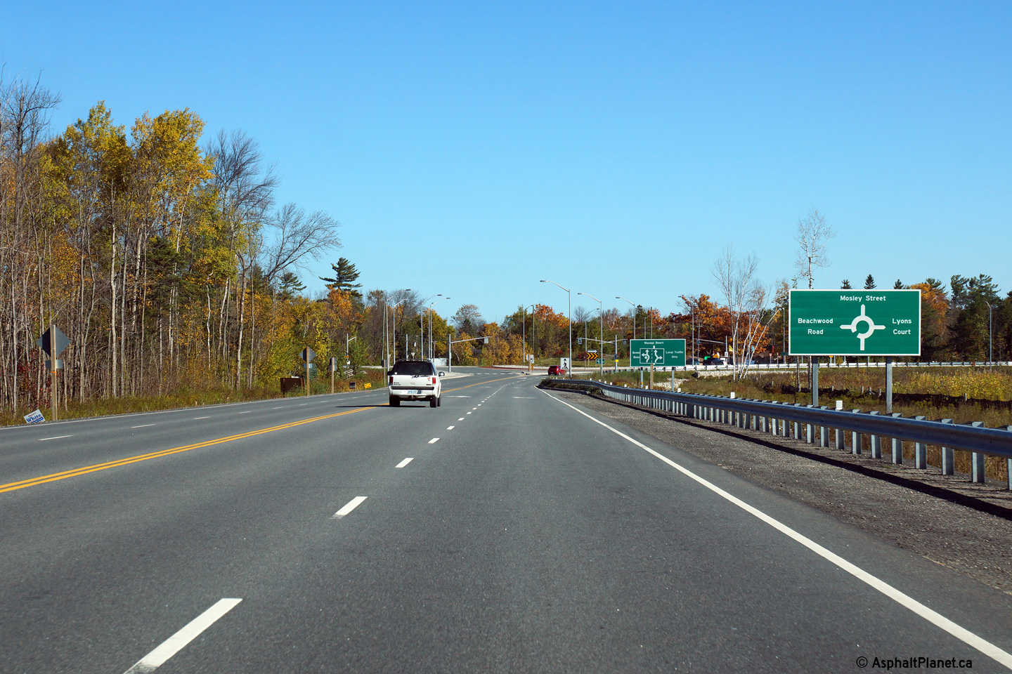
 (720x480)
 (720x480)

 (720x480)
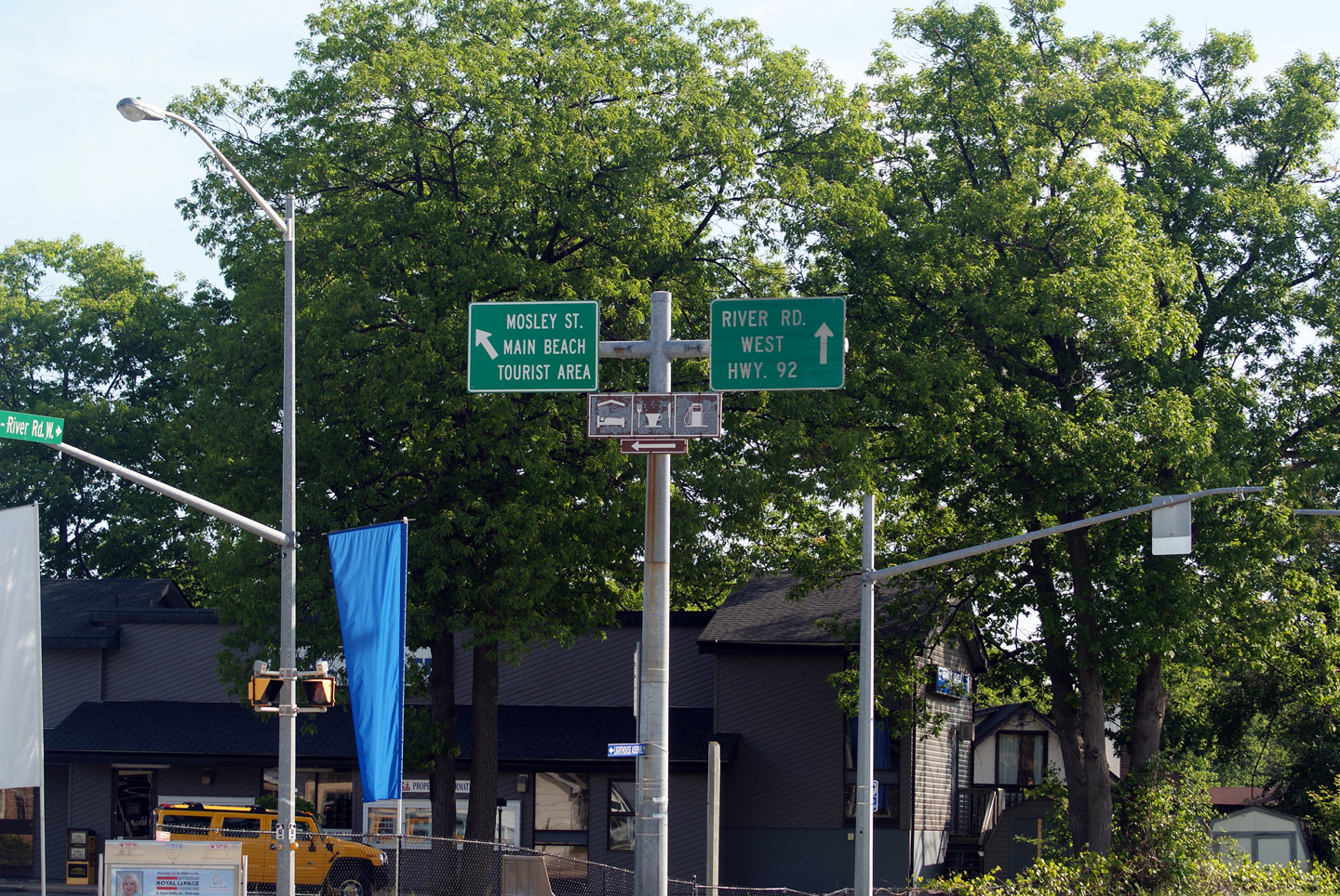
 (720x480)

 (720x480)