|
Proper Municipality Name |
Photo Description |
Photo |
|
Pictures taken
from driver's perspective appear offset from centre-line pictures: |
East-
Bound |
West-
Bound |
|
Highway 26 ends at the Highway
6/10/21 intersection in Owen Sound. Click
here for Highway 6-images,
here for Highway 10 images, and here for
Highway 21 images. |
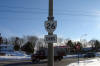
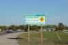
| City of Owen Sound |
Highway 26 ends sign at the Highway 6/10/21 junction.
Photo taken: February 26th, 2004. |
 (720x480) (720x480)
(1440x960) |
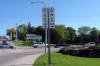
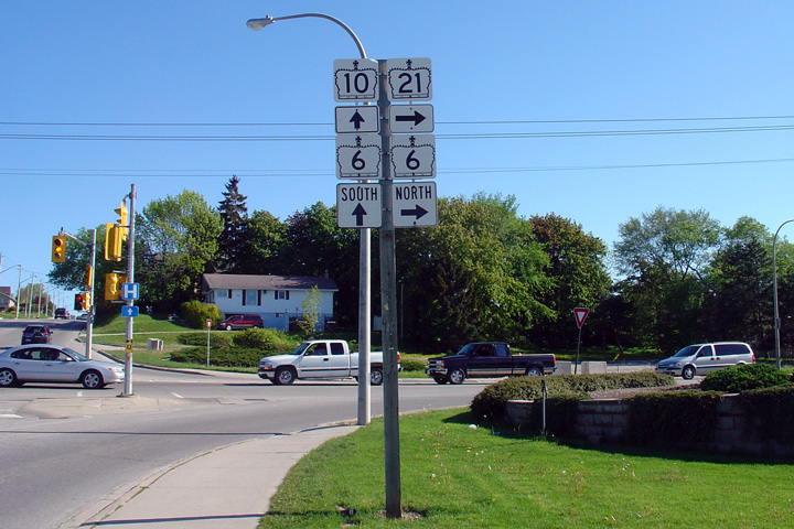
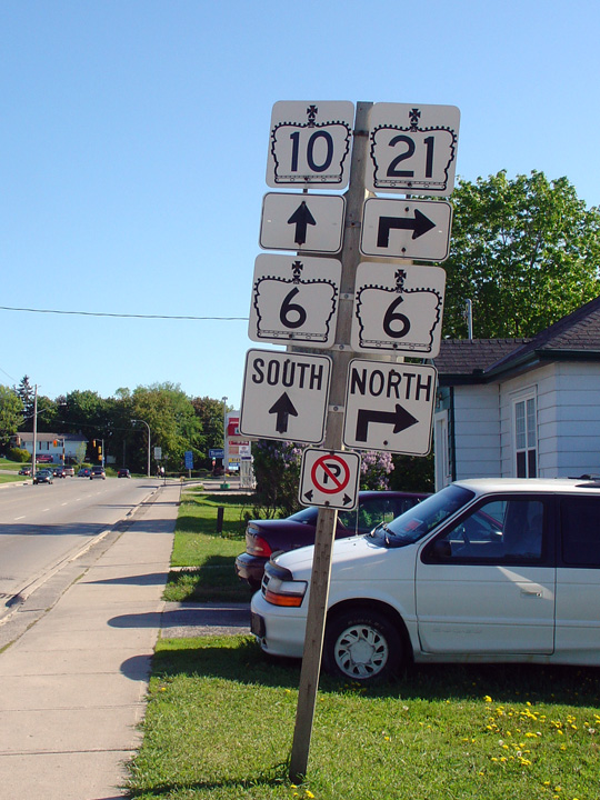
| City of Owen Sound |
Westbound junction signage for the Highway 6/10/21 junction.
Photo taken: May 20th, 2006. |
 (720x480) (720x480)
(1440x960) |
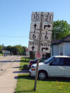
| City of Owen Sound |
Westbound advanced signage delineating the upcoming Highway 6/10/21
junction.
Photo taken: May 20th, 2006. |
 |
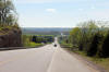
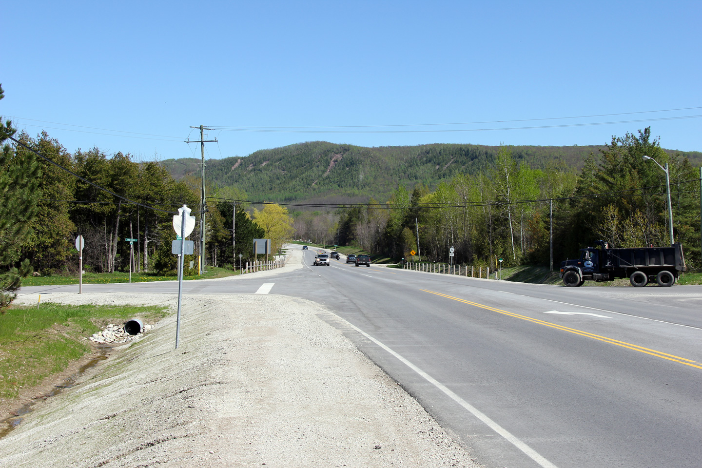
Municipality of Meaford
County of Grey |
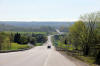
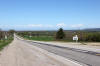
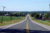
Two views looking westerly towards Owen Sound from just west of the Grey
Road 11 intersection.
Photos taken: May 20th, 2011. |
(720x480)
(1440x960)
(2400x1600)
(720x480)
(1440x960)
(2400x1600) |
Municipality of Meaford
County of Grey |
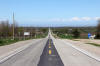
This view looks easterly, east of the Grey Road 11 intersection.
Photo taken: May 20th, 2011. |

(720x480)
(1440x960)
(2400x1600) |
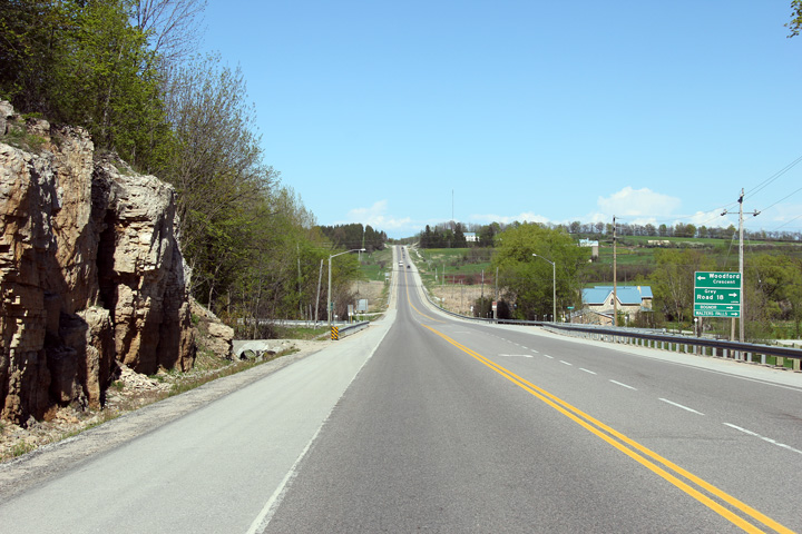
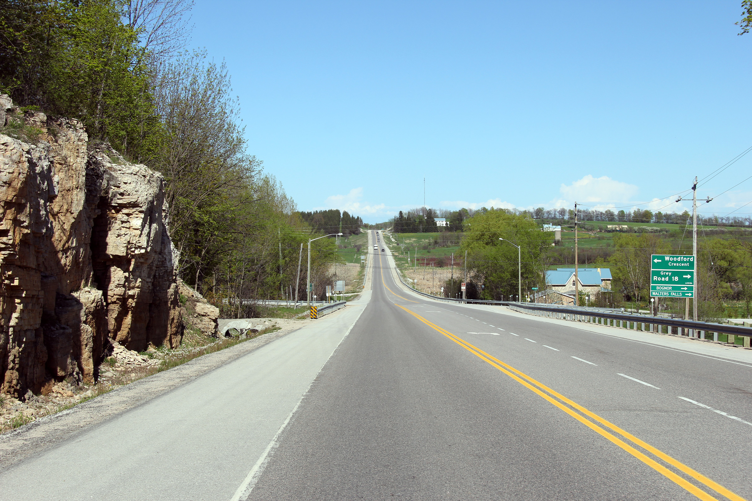
Municipality of Meaford
County of Grey |
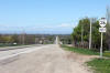
Easterly view at the Grey Road 18 intersection in Woodford.
Photo taken: May 20th, 2011. |

(720x480)
(1440x960)
(2400x1600) |
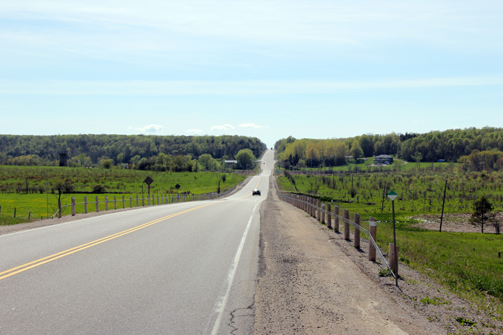
Municipality of Meaford
County of Grey |
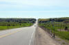
View looking westerly towards Woodford from just west of the St. Vincent -
Sydenham Townline.
Photo taken: May 20th, 2011. |
(720x480)
(1440x960)
(2400x1600) |
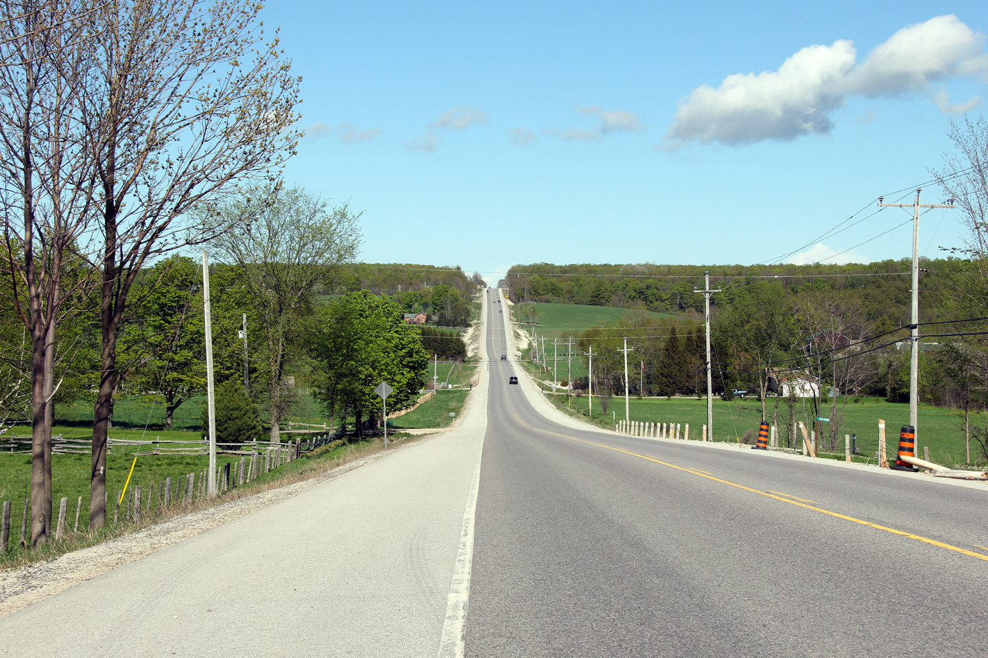
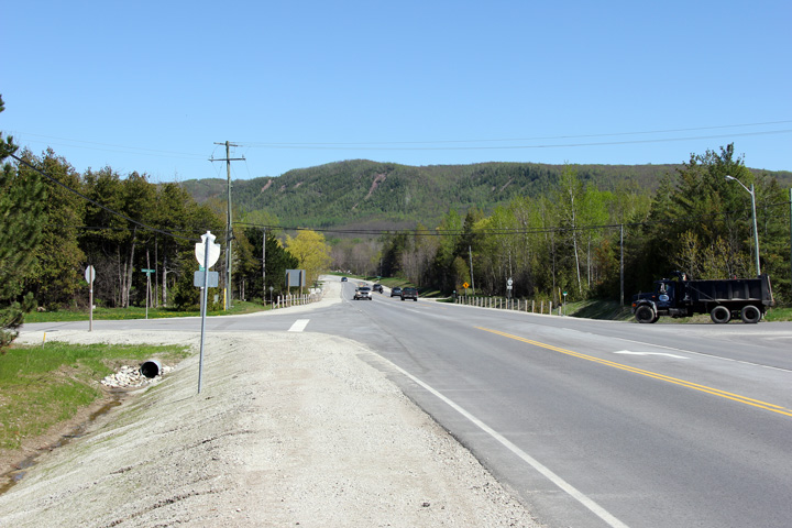
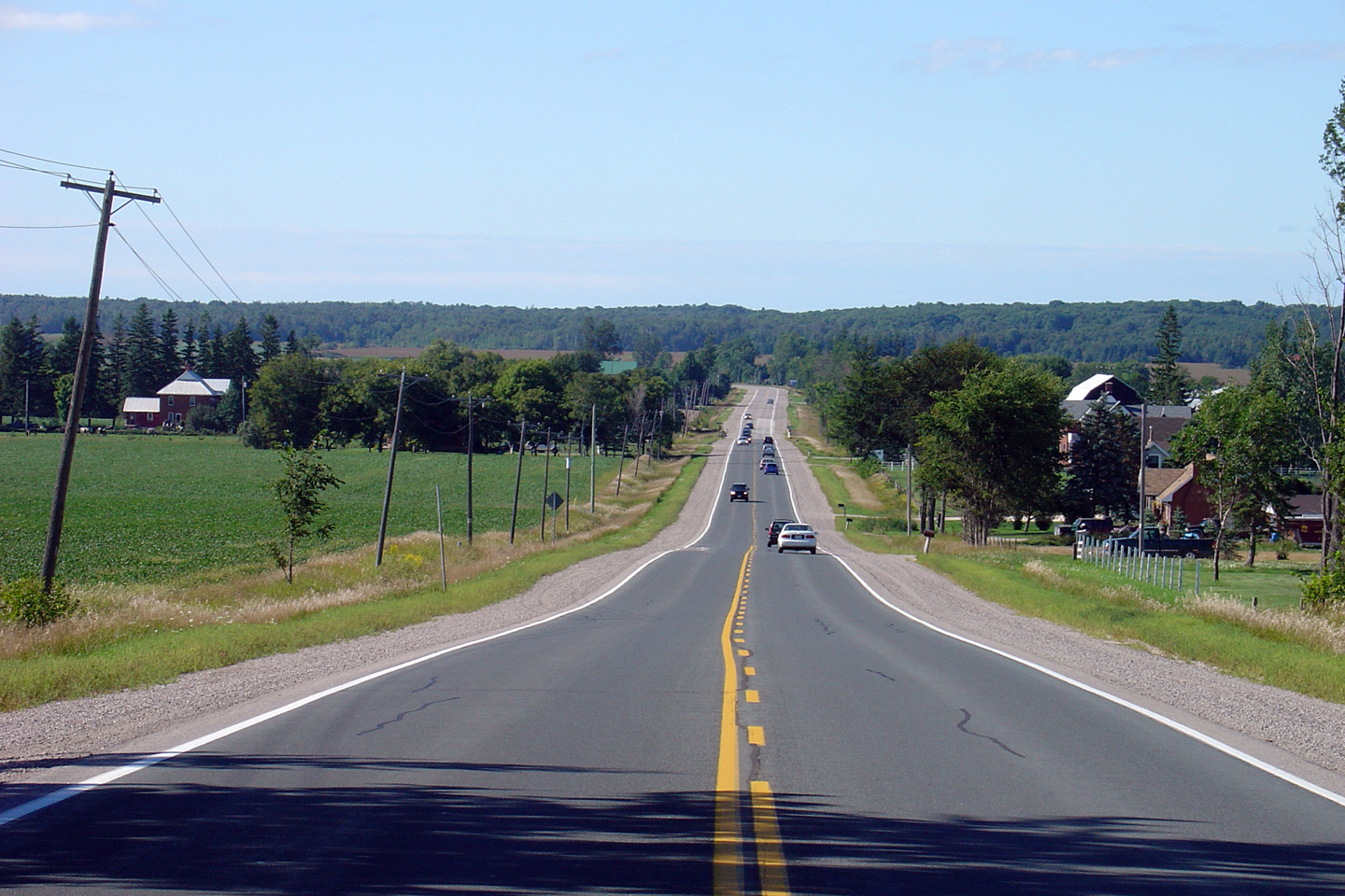
Municipality of Meaford
County of Grey |
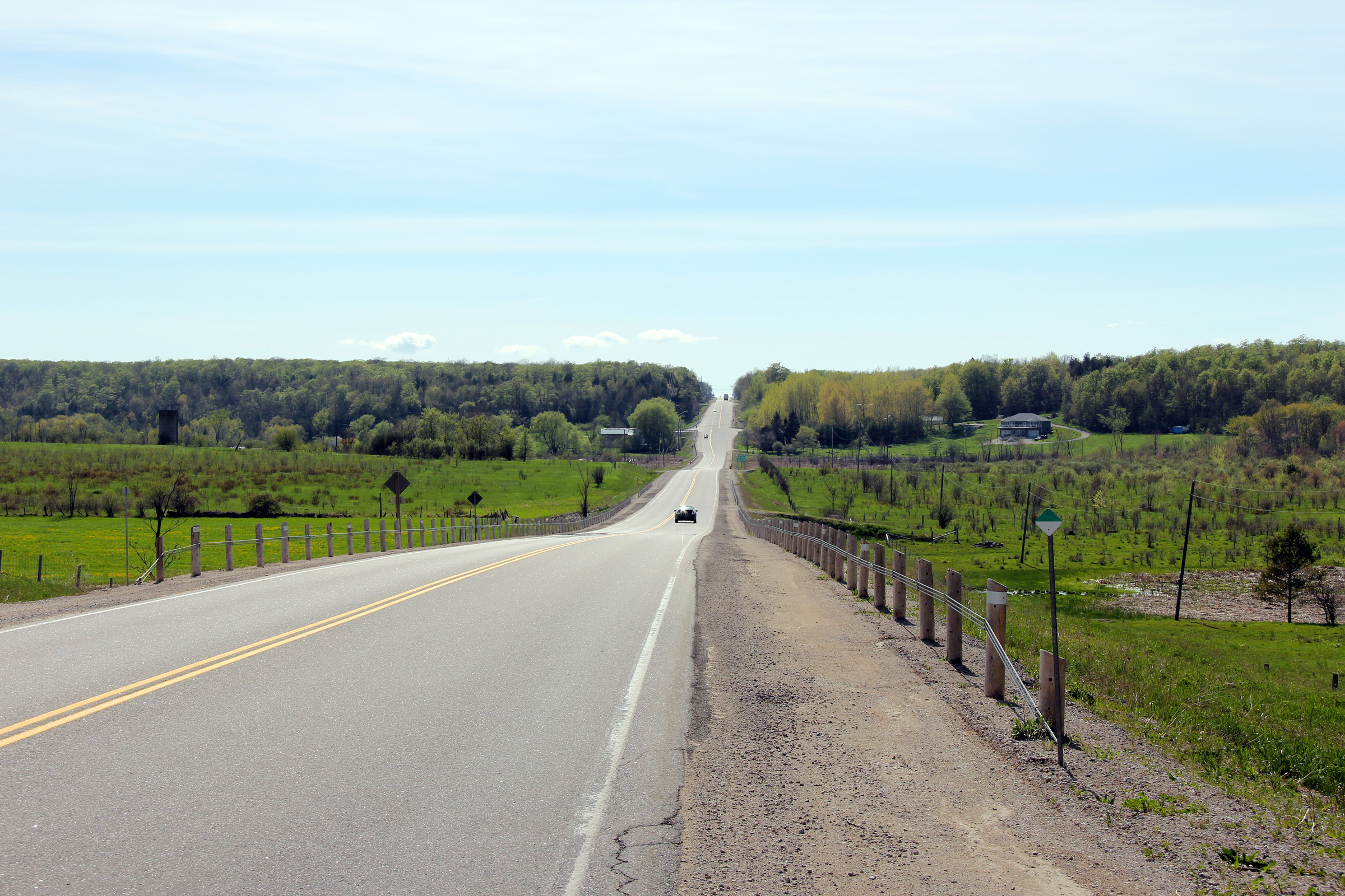
Three views looking to the east as Highway 26 descends down the Niagara
Escarpment. A thin cloud of fog enshrouded Nottawasaga Bay on the day
that these photos were taken.
Photos taken: May 20th, 2011. |
(720x480)
(1440x960)
(2400x1600)
(720x480)
(1440x960)
(2400x1600)
(720x480)
(1440x960)
(2400x1600) |
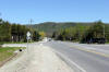
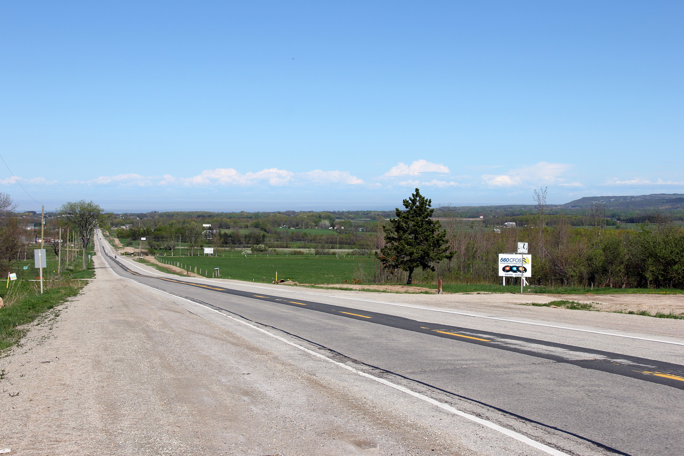
Town of the Blue Mountains
County of Grey |
Easterly view from the Grey Road 40 intersection. The Niagara Escarpment is
a prevalent feature to the south of the highway west of Collingwood.
Photo taken: May 20th, 2011. |
(720x480)
(1440x960)
(2400x1600) |
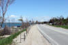
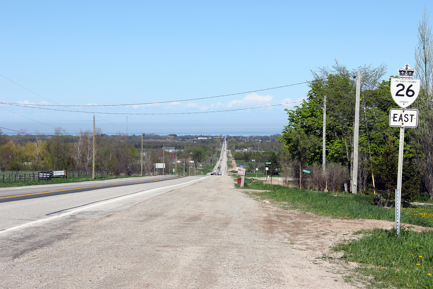
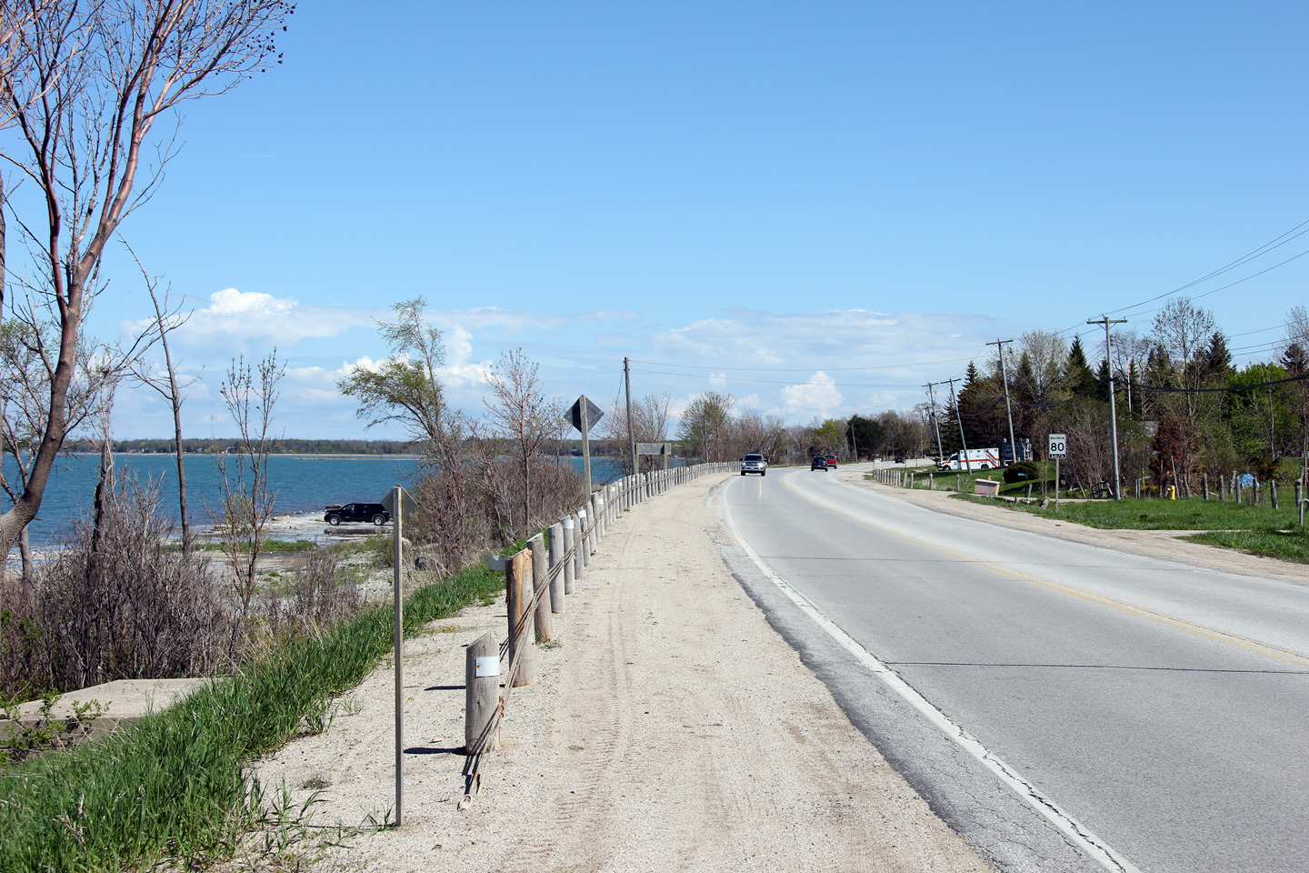
Town of the Blue Mountains
County of Grey |
This view looks easterly as Highway 26 follows the shoreline of Nottawasaga
Bay west of Craigleith.
Photo taken: May 20th, 2011. |
(720x480)
(1440x960)
(2400x1600) |
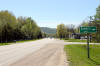
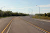
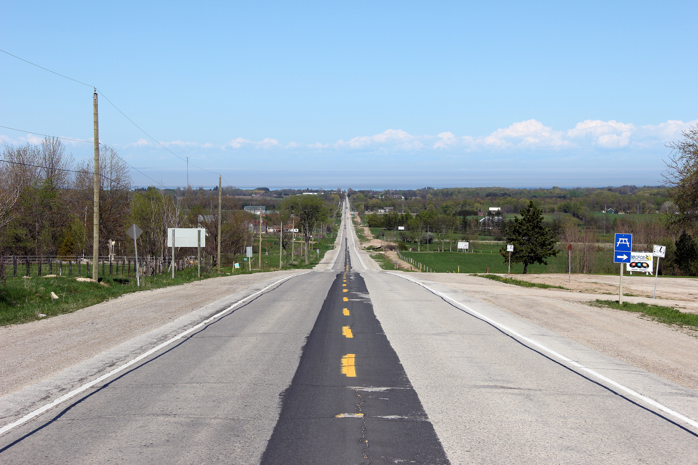
Town of the Blue Mountains
County of Grey |
Westerly view along Highway 26 from just west of the Grey Road 21
intersection.
Photo taken: May 20th, 2011. |
(720x480)
(1440x960)
(2400x1600) |
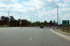
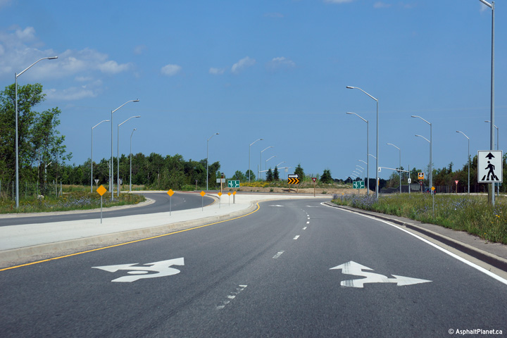
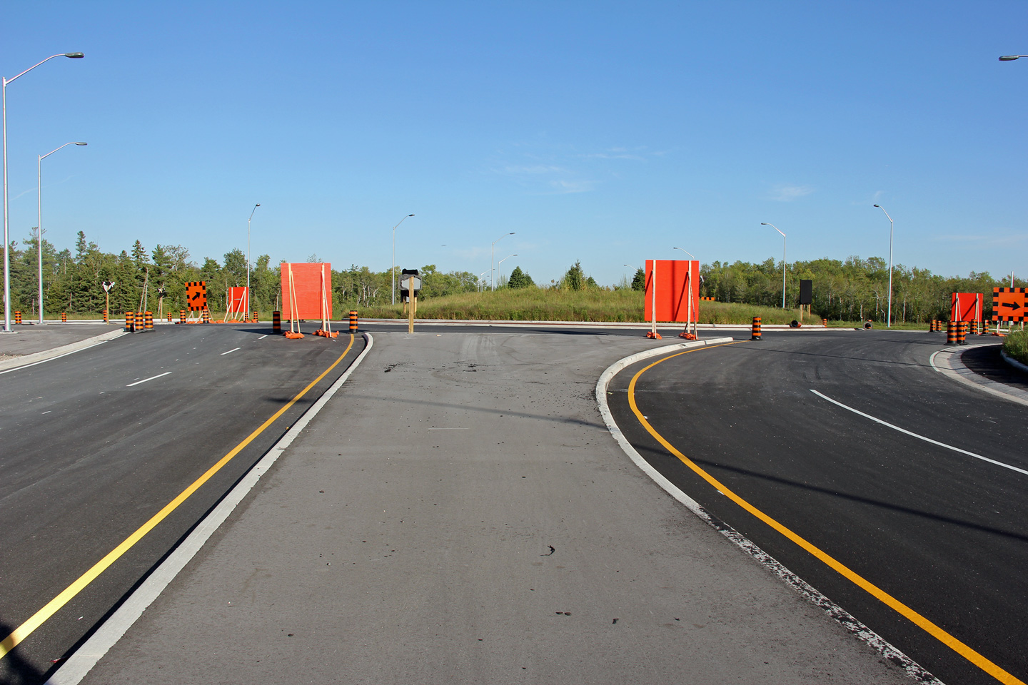
Town of Collingwood
County of Simcoe |
Signage advising motorists of the new roundabout intersections that opened
as part of the Highway 26 realignment between Collingwood and Wasaga Beach.
Photo taken: September 12th, 2012. |
 (720x480) (720x480)
(1440x960) |
|
Highway 26 was realigned onto a new four lane
expressway between Collingwood and Wasaga Beach in November, 2012.
Click here for
construction images..
|
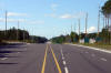
Town of Collingwood
County of Simcoe |
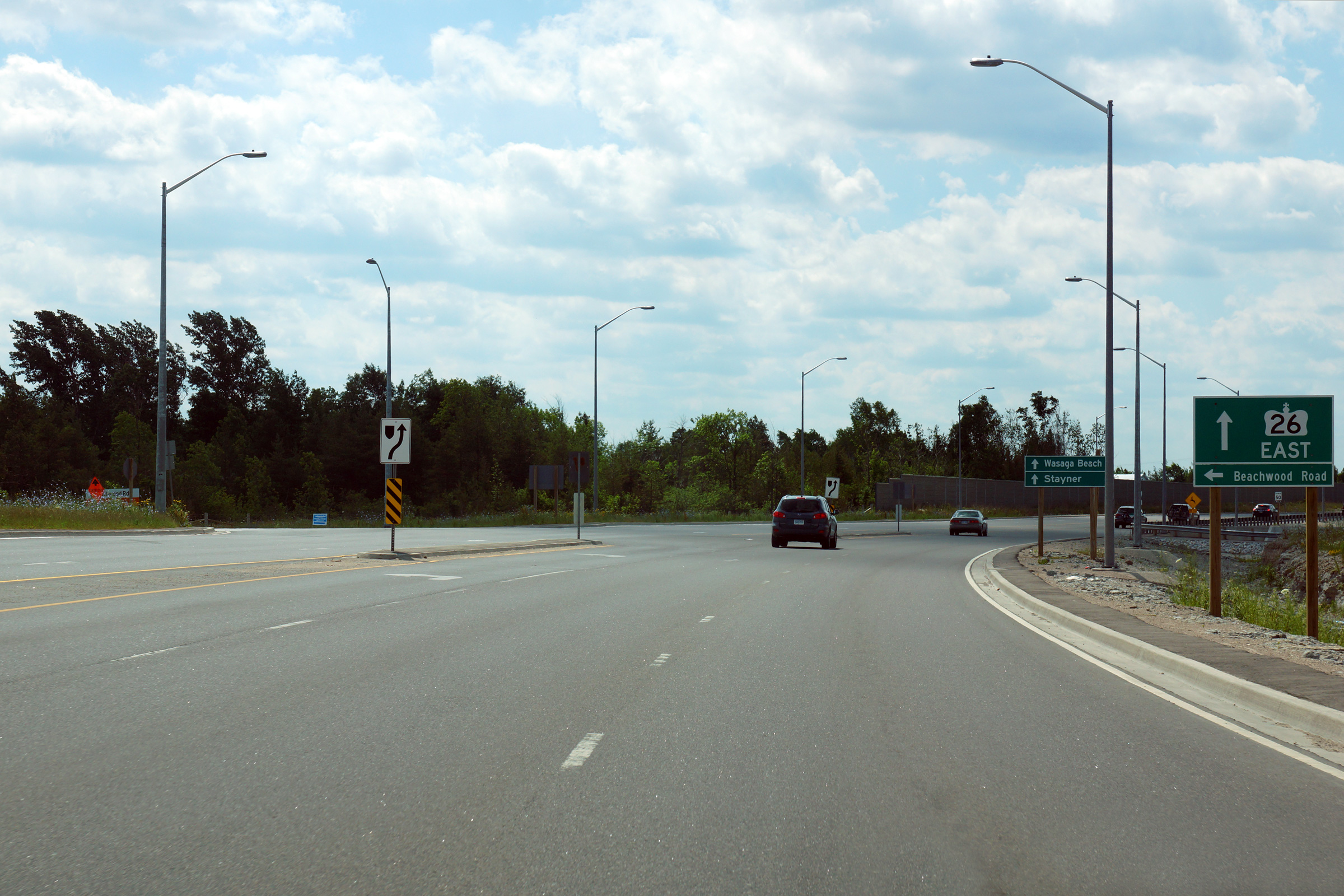
This view looks easterly approaching the Beachwood Road intersection.
Beachwood Road is the former alignment of Highway 26 through Bowers Beach
between Wasaga Beach and Collingwood that was by-passed by the new four-lane
highway on November 14, 2014. As of 2014, Beachwood Road is still
maintained by the MTO as a 7000-series highway.
Photo taken: July 6th, 2014. |
(720x480)
(1440x960)
(2400x1600) |
Town of Collingwood
County of Simcoe |
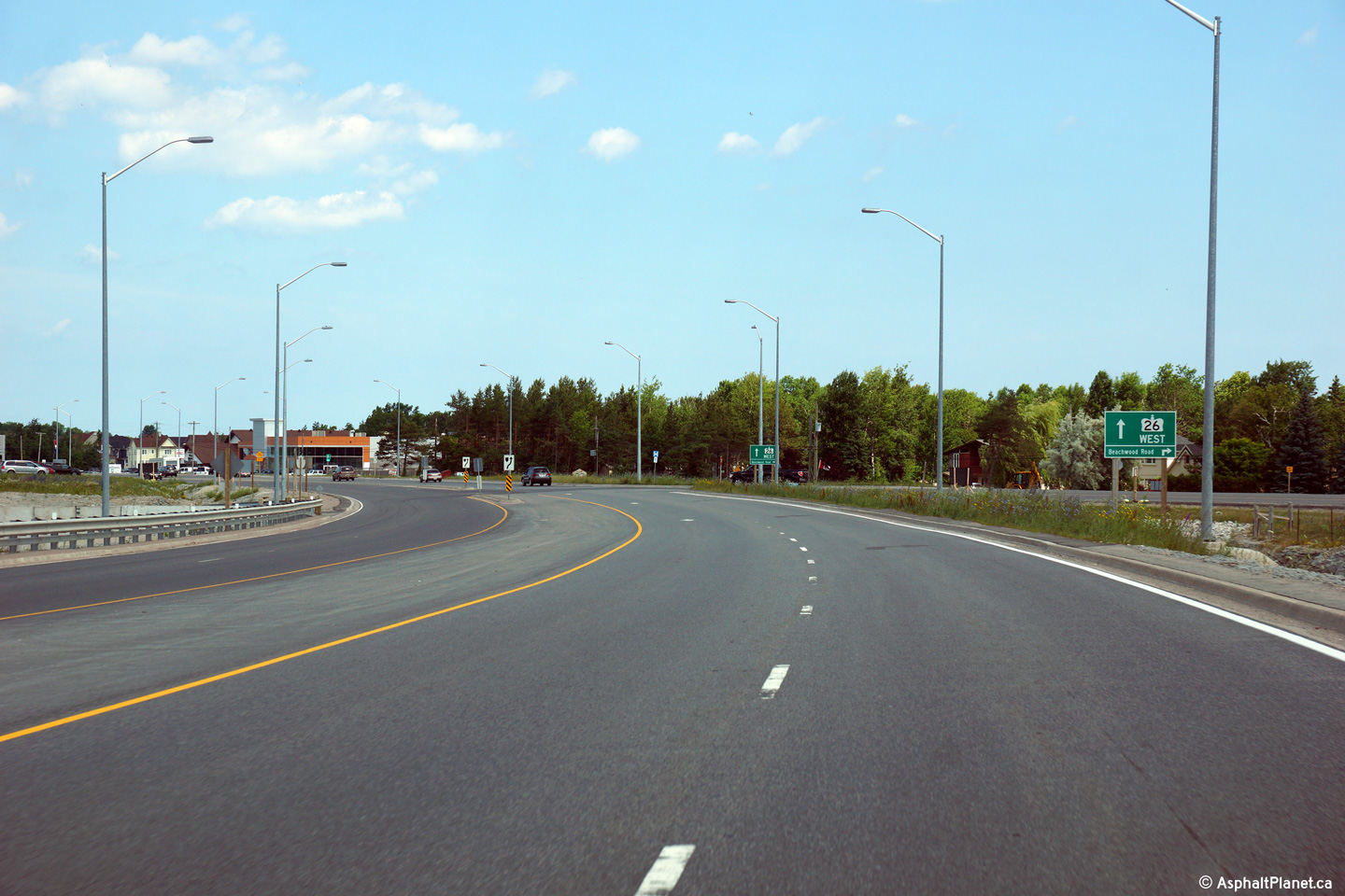
View looking westerly at the Beachwood Road intersection. Beyond
Beachwood Road, the four lane diversion of Highway 26 ends and the highway
follows various urban streets through the Town of Collingwood.
Photo taken: July 6th, 2014. |

(720x480)
(1440x960)
(2400x1600) |
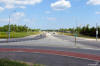
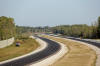
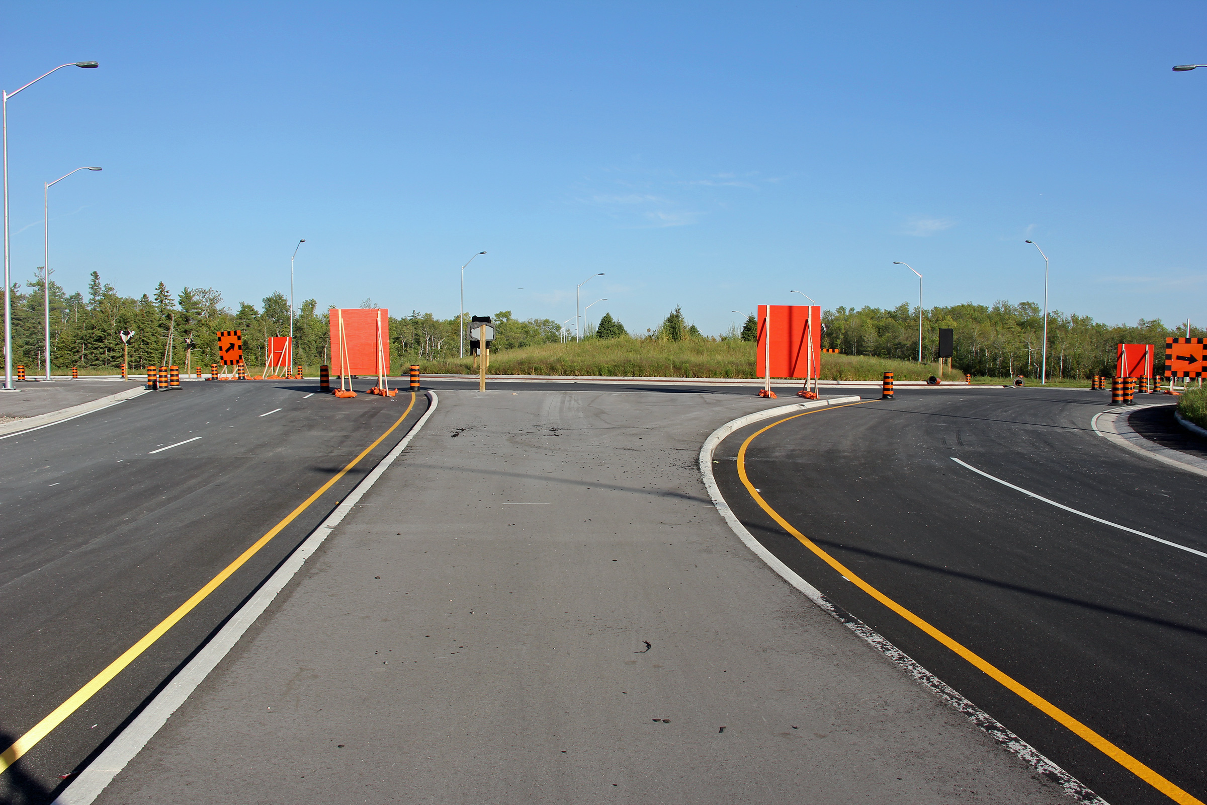
Town of Collingwood
County of Simcoe |
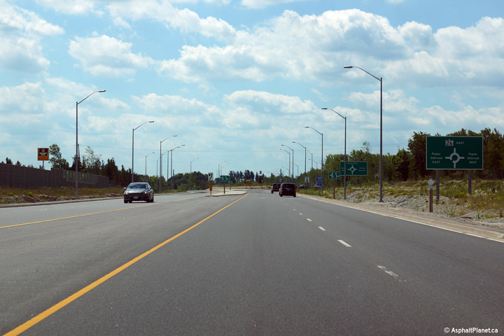
Easterly view approaching the Poplar Sideroad roundabout on the 2012
realignment of Highway 26.
Photo taken: July 6th, 2014. |
 (720x480) (720x480)
(1440x960)
(2400x1600) |
Town of Collingwood
County of Simcoe |
View looking westerly towards Colingwood from the Poplar Sideroad
roundabout.
Photo taken: July 6th, 2014. |
(720x480)
(1440x960)
(2400x1600) |
Collingwood / Clearview Boundary
County of Simcoe |
This view looks easterly along Highway 26 from the Poplar Sideroad
roundabout.
Photo taken: July 6th, 2014. |
(720x480)
(1440x960)
(2400x1600) |
Collingwood / Clearview Boundary
County of Simcoe |
This view looks westerly along Highway 26 approaching the Poplar Sideroad
roundabout.
Photo taken: July 6th, 2014. |
 (720x480) (720x480)
(1440x960)
(2400x1600) |
Collingwood / Clearview Boundary
County of Simcoe |
Westbound advanced signage for the Poplar Sideroad roundabout.
Photo taken: July 6th, 2014. |
 (720x480) (720x480)
(1440x960)
(2400x1600) |
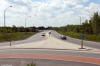
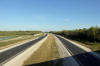
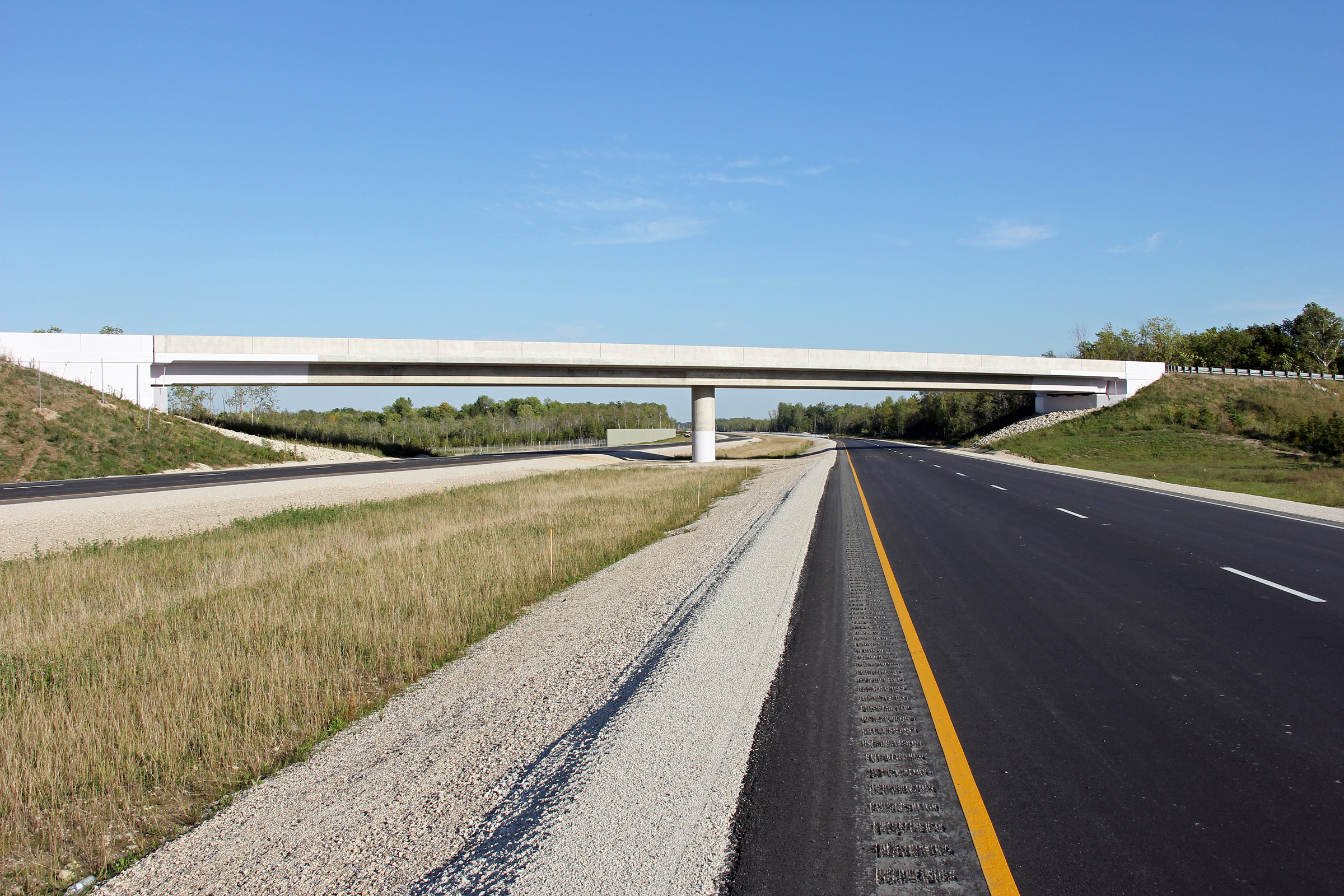
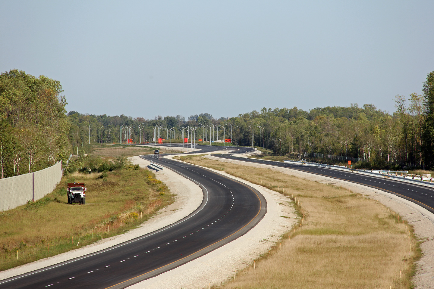
Collingwood / Clearview Boundary
County of Simcoe |
Easterly view along the new alignment of Highway 26 between
Collingwood and Wasaga Beach. When this photo was taken, Highway 26
had yet to open to traffic. The realignment of Highway 26 opened to
traffic on November 14, 2012.
Photo taken: September 12th, 2012. |
(720x480)
(1440x960)
(2400x1600) |
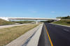
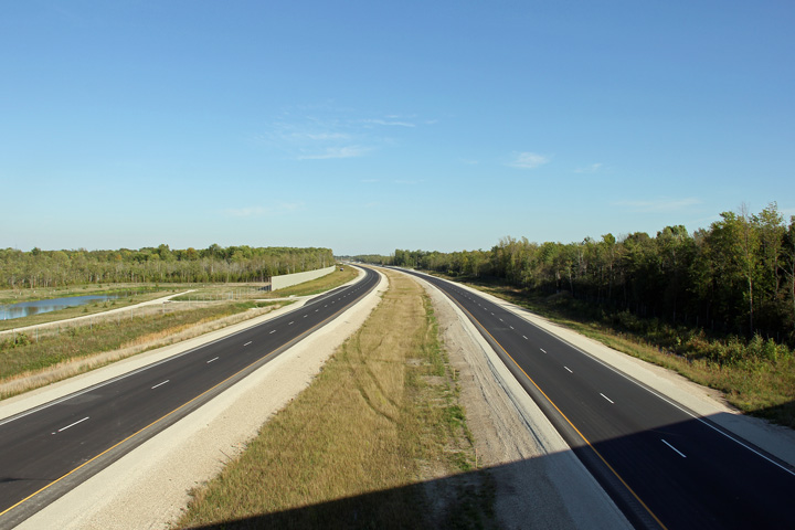
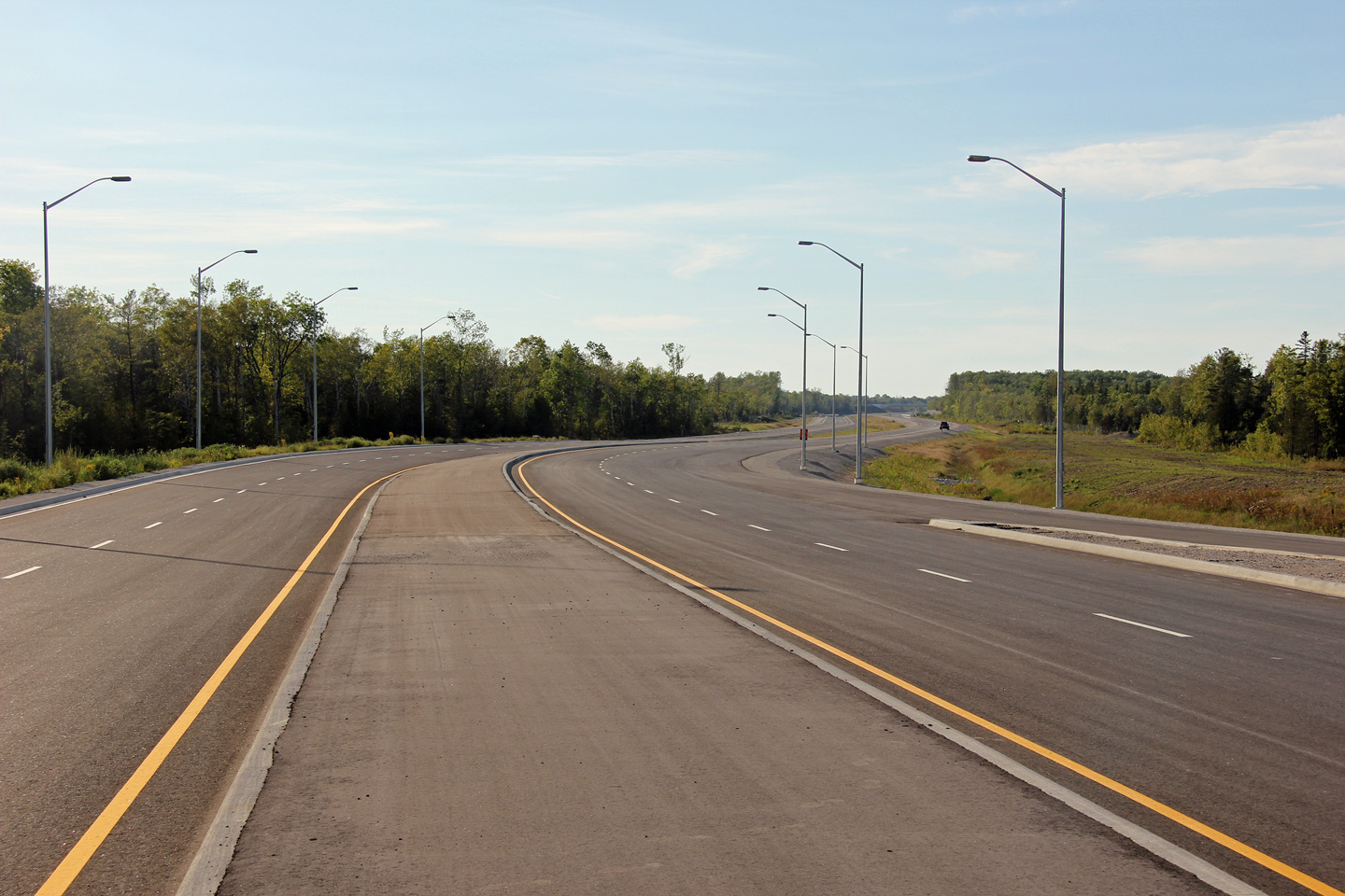
Collingwood / Clearview Boundary
County of Simcoe |
View looking westerly from the Fairgrounds Road overpass.
Photo taken: September 12th, 2012. |

(720x480)
(1440x960)
(2400x1600) |
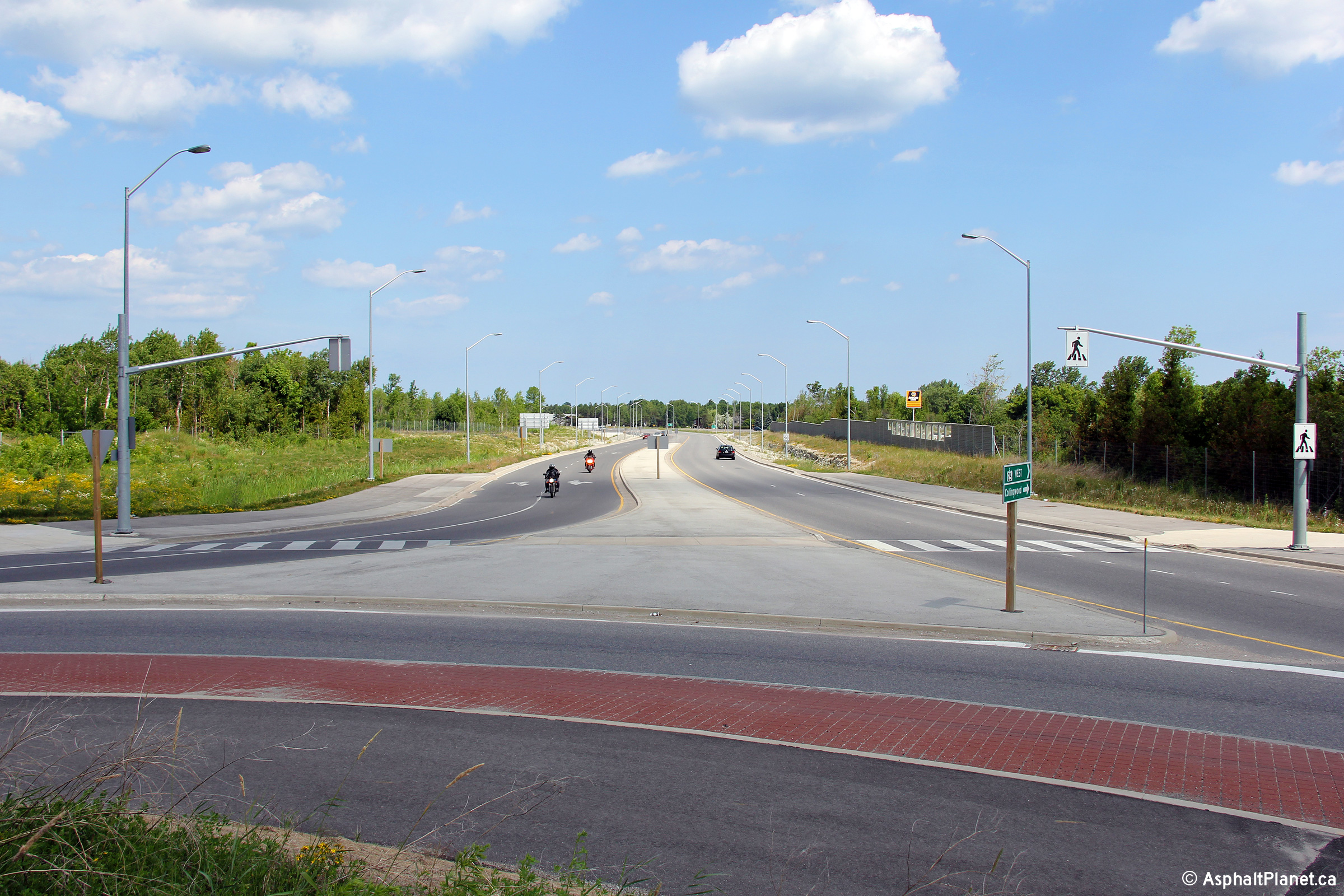
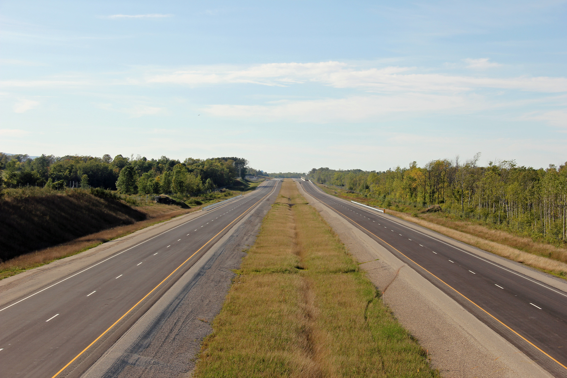
Clearview / Wasaga Beach Boundary
County of Simcoe |
Two easterly views of Highway 26 from the Fairgrounds Road overpass.
The unopened roundabout with Mosley Street is visible in the distance.
Photos taken: September 12th, 2012. |
(720x480)
(1440x960)
(2400x1600)
(720x480)
(1440x960)
(2400x1600) |
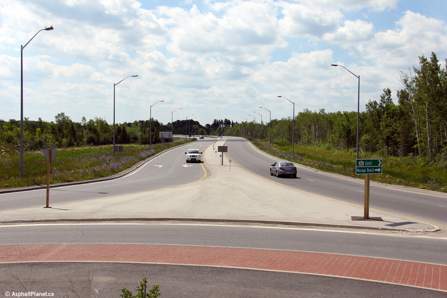
Clearview / Wasaga Beach Boundary
County of Simcoe |
Westerly view from just west of the Mosley Street roundabout intersection.
Photo taken: September 12th, 2012. |
(720x480)
(1440x960)
(2400x1600) |
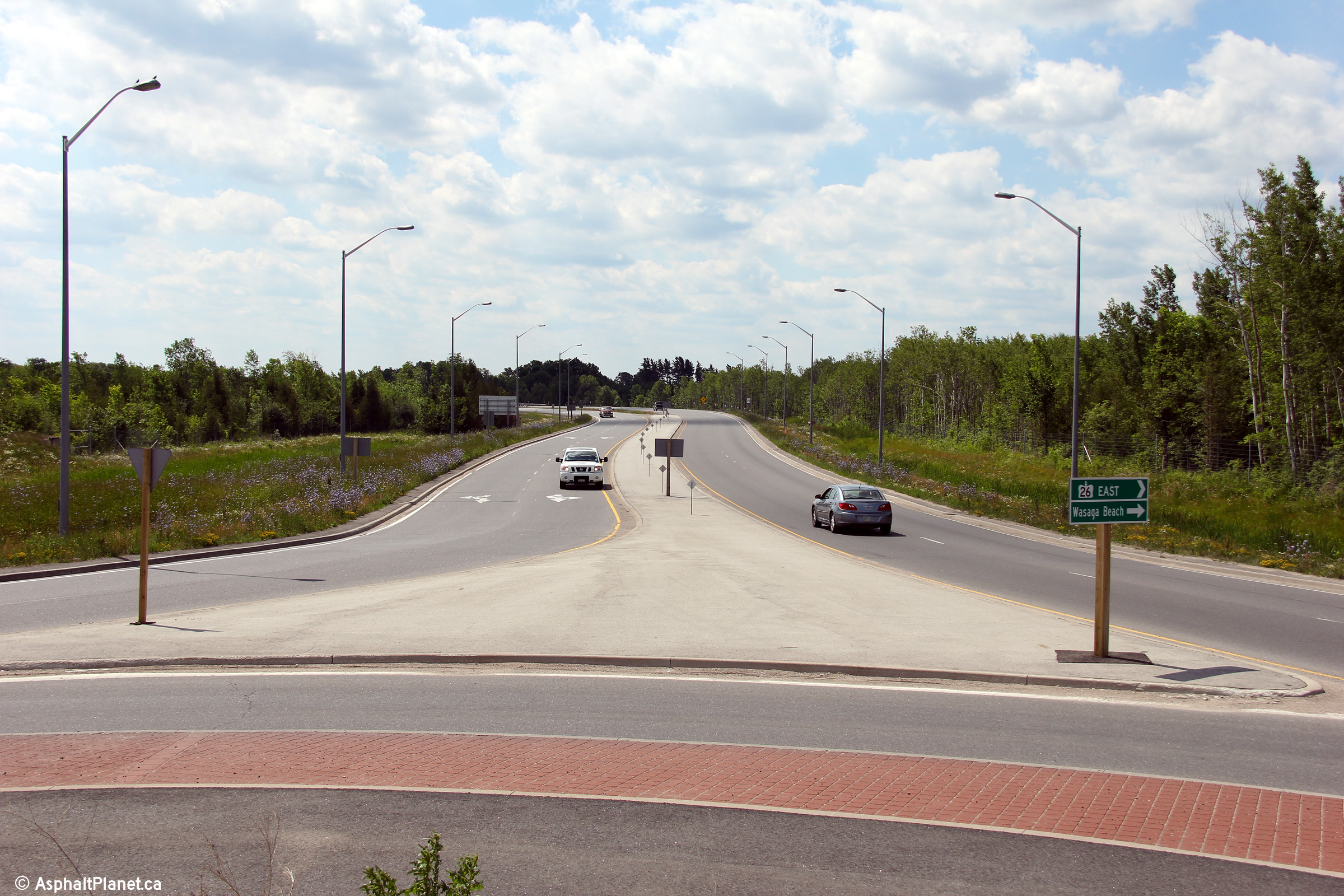
Clearview / Wasaga Beach Boundary
County of Simcoe |
Easterly view approaching the Mosley Street intersection. Mosley
Street / Collingwood Airport Road traffic was using the roundabout when this
photo was taken, though Highway 26 had yet to open to traffic.
Photo taken: September 12th, 2012. |

(720x480)
(1440x960)
(2400x1600) |
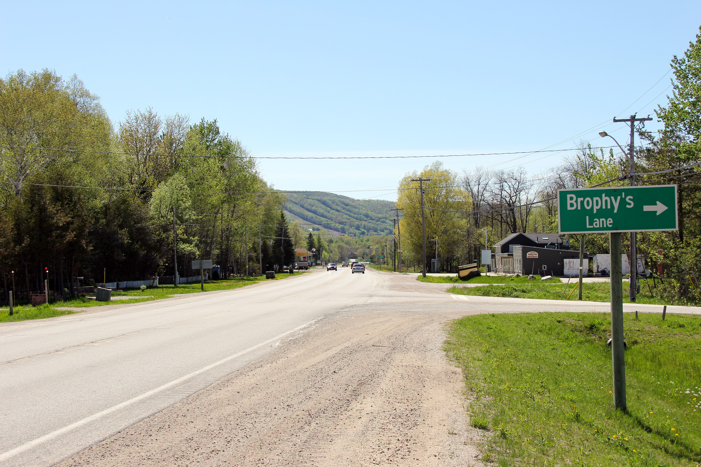
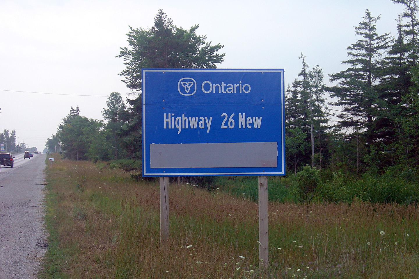
Township of Clearview
County of Simcoe |
Blue sign that formerly stood announcing the completion of Highway 26 New.
A new alignment of Highway 26 was constructed between Collingwood and Wasaga Beach. This sign had formerly indicated that the new highway
would be open to traffic in 2006. Construction was stalled for a
number of years, however, the new highway opened to traffic on November 14,
2012.
Photo taken: July, 2005. |
|
| Township of Springwater County
of Simcoe |
View looking westerly from just west of the Simcoe Road 28 intersection.
Photo taken: August 21st, 2005. |
(720x480)
(1440x960) |
| Township of Springwater County
of Simcoe |
Easterly view approaching the Simcoe Road 28 intersection. Traffic
signals were added at this intersection in 2011.
Photo taken: August 21st, 2005. |
|
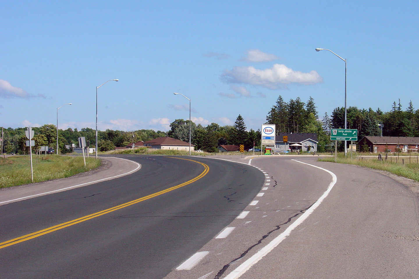
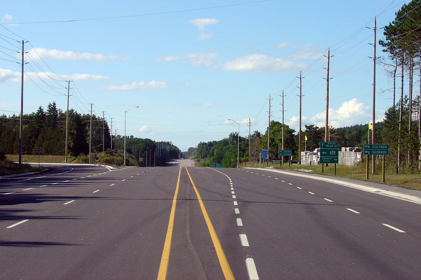
| Township of Springwater County
of Simcoe |
Highway 26 looking east towards the north junction with
Highway 27. At this junction, Barrie bound
traffic must take the ramp to the right to continue eastbound on Highway 26.
Photo taken: August 21st, 2005. |

(720x480)
(1440x960) |
|
Highway 27 continued northerly
from Highway 26 bound for Highway 93 at Waverly.
Click here for Highway
27 images. |
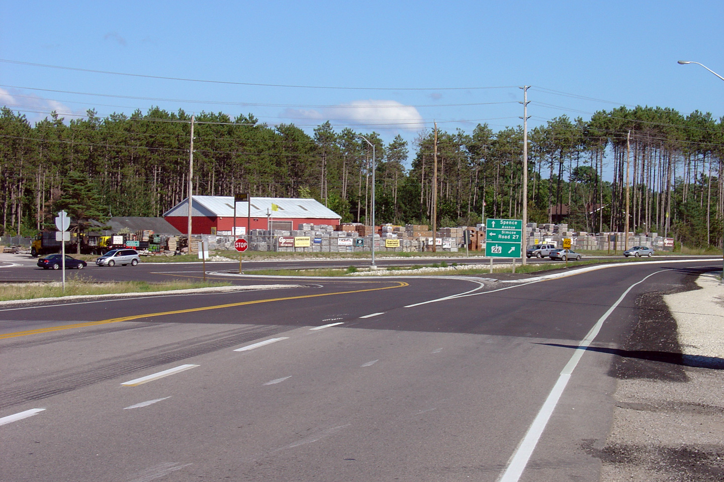
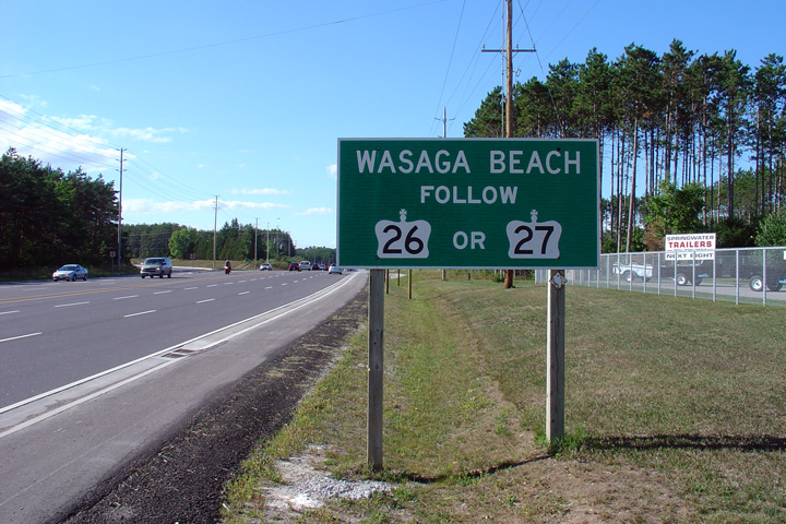
| Township of Springwater County
of Simcoe |
Highway 26/27 looking west towards the
northern Highway 26/27 junction. At
this junction, traffic continuing towards Stayner and Collingwood along Highway 26 must turn left. Straight ahead is Highway 27, which leads
travelers towards Elmvale and Penetanguishene.
Photo taken: August 21st, 2005. |
(720x480)
(1440x960) |
| Township of Springwater County
of Simcoe |
This sign is located northwest-bound along Highway
26/27just southeast of the Highway 26/27
junction. This sign is very odd for an Ontario highway, as its very
unusual to see multiple routes suggested for the same destination.
This sign has since been removed.
Photo taken: August 21st, 2005. |
|
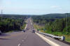
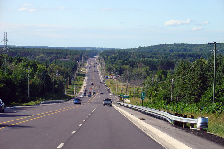
| Township of Springwater County
of Simcoe |
Highway 26/27 looking northwest from the
north limits of Barrie towards Midhurst. Highway 26/27 was originally 4-laned in 1968, having
only very recently been reconstructed. Between Barrie and the Highway 26/27
split, there are two signalized intersections at Carson Road and Snow Valley
Road.
Photo taken: August 21st, 2005. |
(720x480)
(1440x960) |
|
Highway 400 is south-central
Ontario's principal north-south highway.
Click
here for Highway 400 images. |
| City of Barrie |
This Highway 26 reassurance marker is posted on a half-empty bracket that
was once shared with Highway 27.
Photo taken: March 7th, 2010. |
 (720x480) (720x480)
(1440x960) |
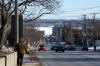
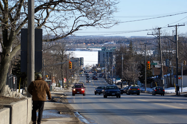
| City of Barrie |
View looking southerly along Bayfield Street towards Downtown Barrie.
Photo taken: March 7th, 2010. |
(720x480)
(1440x960)
(2400x1600) |
 (720x480)
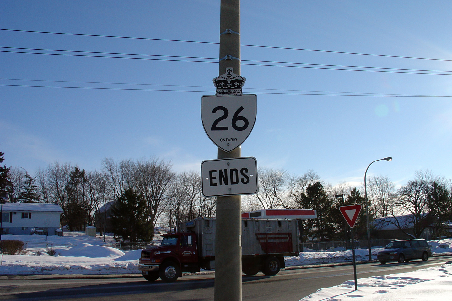
 (720x480)
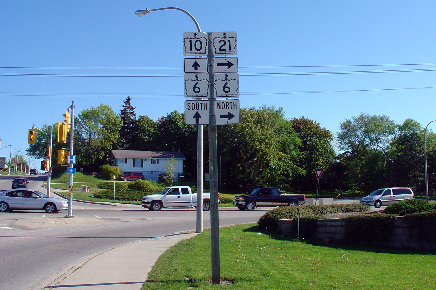


 (720x480)


 (720x480)
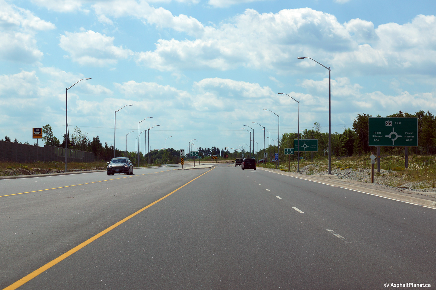


 (720x480)
 (720x480)
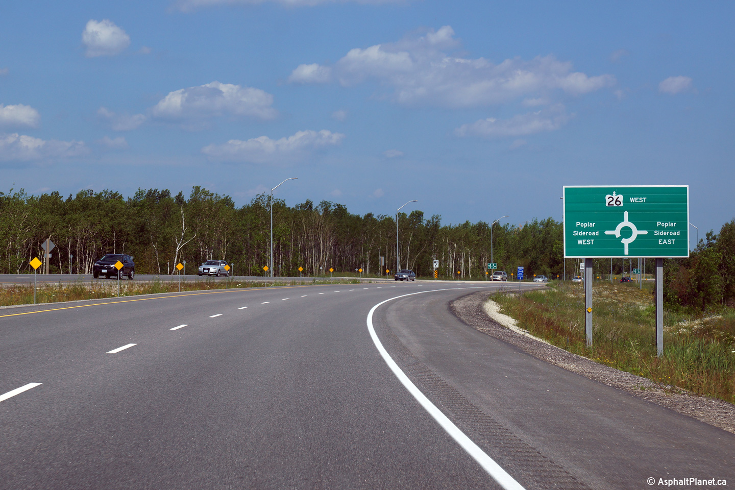


 (720x480)
 (720x480)
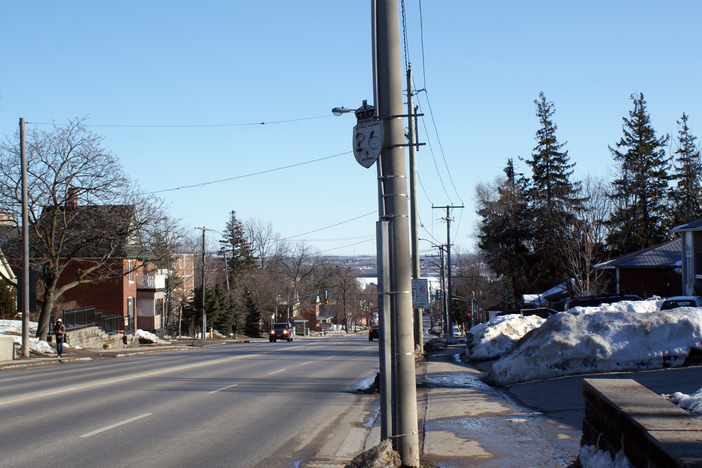