|
Proper Municipality Name |
Photo Description |
Photo |
|
Pictures taken
from driver's perspective appear offset from centre-line pictures: |
East-
Bound |
West-
Bound |
Township of Carling
District of Parry Sound |
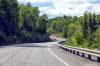
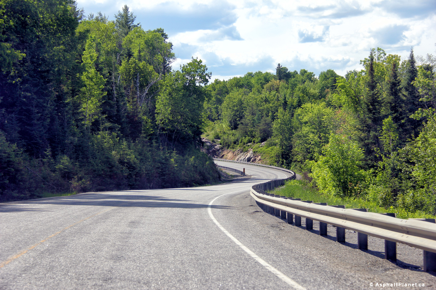
Reversing curve along Highway 575 south of Field.
Photo taken: May 25th, 2014. |
(720x480)
(1440x960)
(2400x1600) |
Township of Carling
District of Parry Sound |
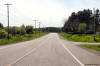
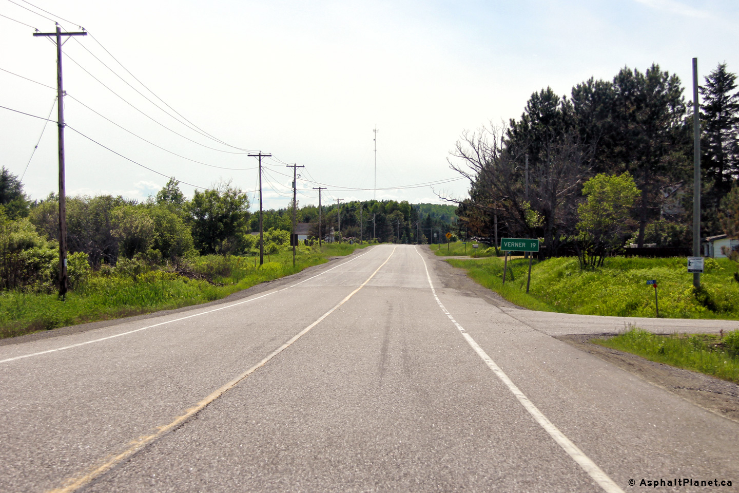
View looking southerly along Highway 575 just south of Field.
Photo taken: May 25th, 2014. |
(720x480)
(1440x960)
(2400x1600) |
Township of Carling
District of Parry Sound |
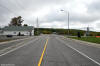
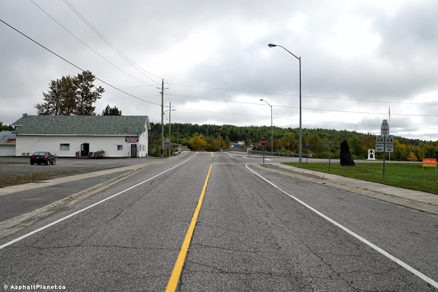
Northerly view approaching the northern terminus of Highway 575 at Highway
64.
Photo taken: September 21st, 2015. |
(720x480)
(1440x960)
(2400x1600) |
Township of Carling
District of Parry Sound |
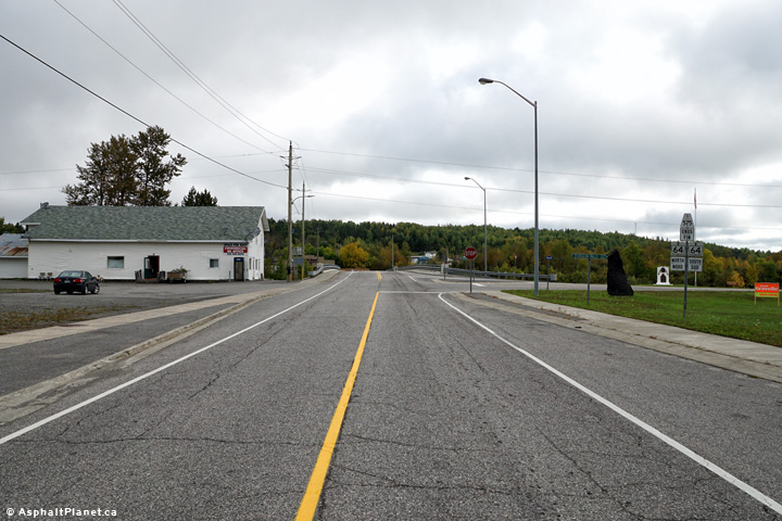
Older style fingerboard signage for Sturgeon Falls.
Photo taken: September 21st, 2015. |
 (720x480) (720x480)
(1440x960) |
|
Highway 575 ends at Highway 69
north of Parry Sound.
Click here for Highway 64 images |


 (720x480)
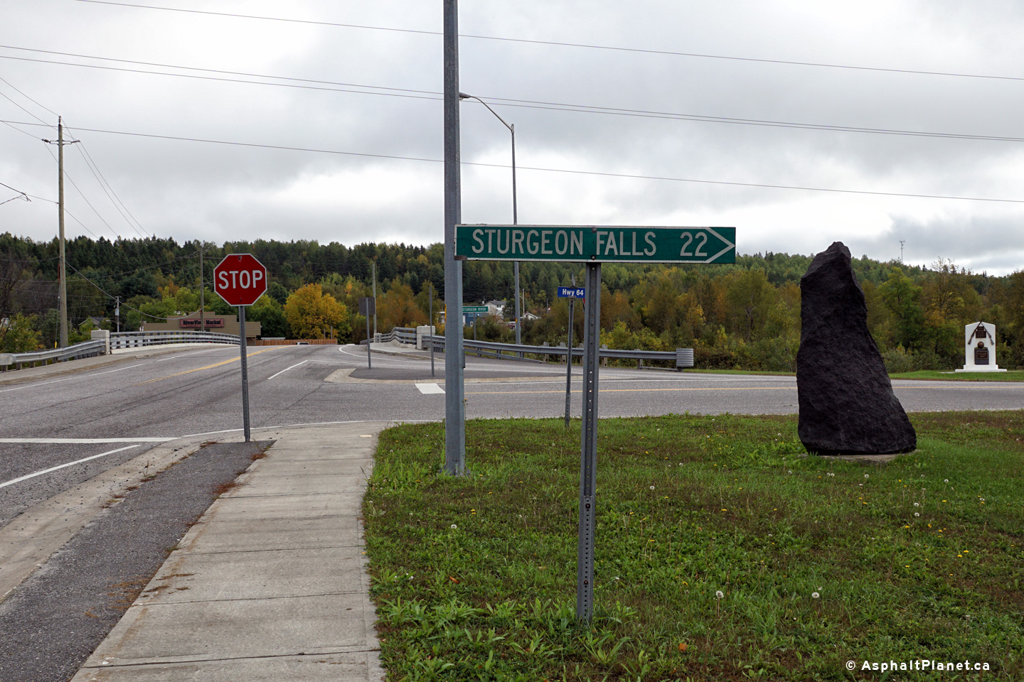