AsphaltPlanet.ca >
OntHighways >
Highway 639 > Images
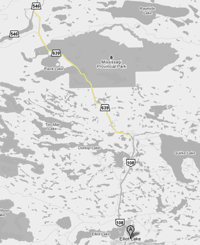
Secondary Highway 639 - Images
Photos shown in this table are arranged from South to North:
| Proper Municipality Name | Photo Description | Photo | |
|
Photos taken from driver's perspective appear offset from centre-line Photos: |
North- Bound |
South- Bound |
|
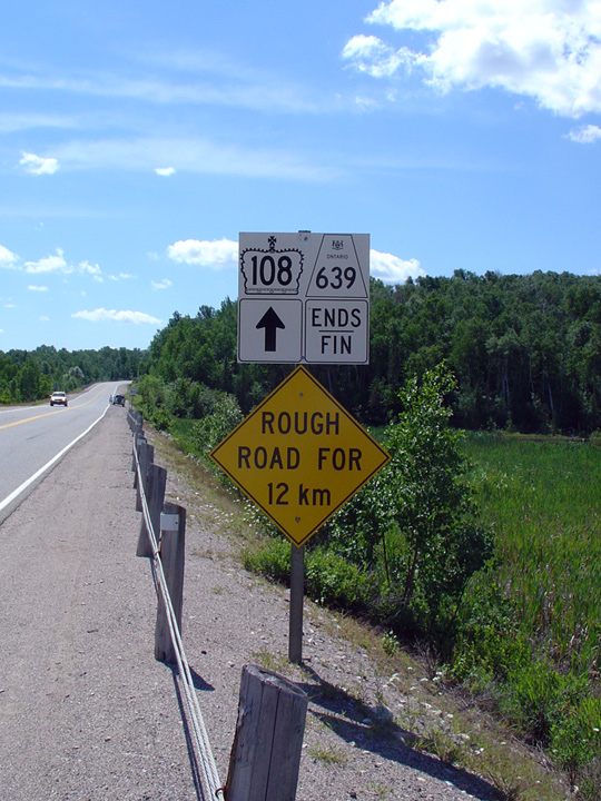
| Highway 639 becomes Highway 108 southerly through Elliot Lake to Highway 17. Click here for Highway 108 images | |||
District of Algoma |
Southern terminus of Highway 639. The road continues southerly into Elliot
Lake and to the Trans-Canada Highway as
Highway 108. Photo taken: July 3rd, 2005. |
|
|
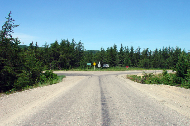
District of Algoma |
View looking southerly at the southern terminus of Highway 639. The transition between Highway 639 and Highway 108 is rather distinct. I think what makes this so interesting, is that there isn't even an intersection at the transition between Highway's 108 and 639 -- someone literally drew a line in the sand. Photo taken: July 3rd, 2005. |
|
|
District of Algoma |
View looking west towards the western end of Highway 600. Photo taken: July 3rd, 2005. |
|
|
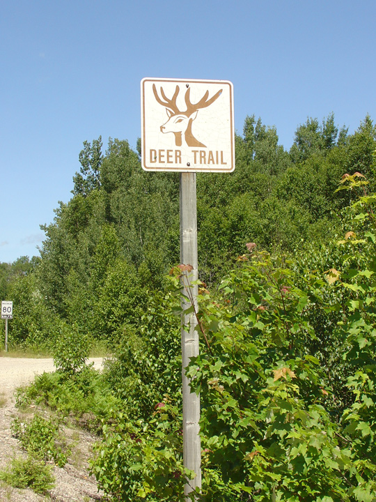
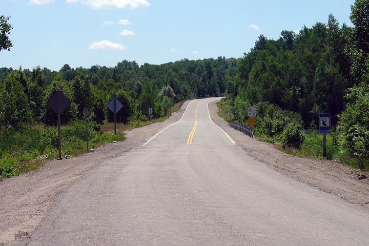
District of Algoma |
Old brown on white Deer Route sign just north of Highway 108. Photo taken: July 3rd, 2005. |
 |
|
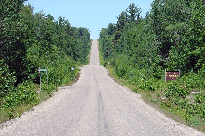
District of Algoma |
View looking northerly as Highway 639 enters Mississagi Provincial Park. A
park welcome sign is obscured by the trees along the east side of the
highway. Photo taken: July 3rd, 2005. |
|
|
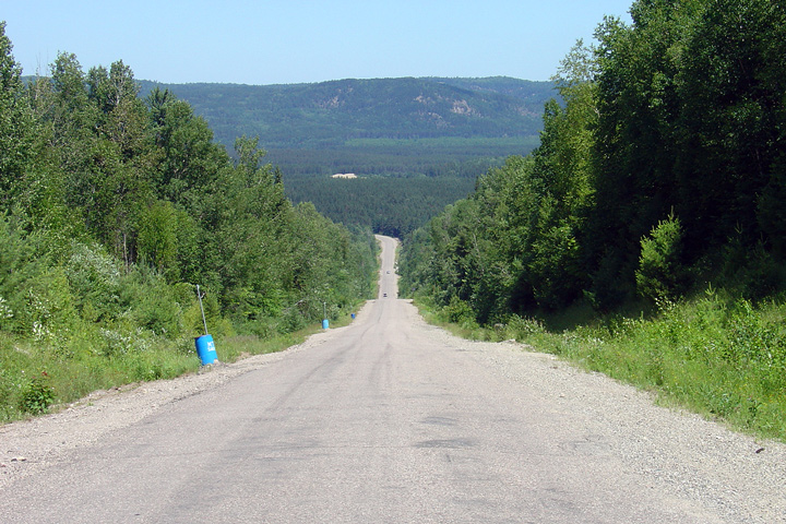
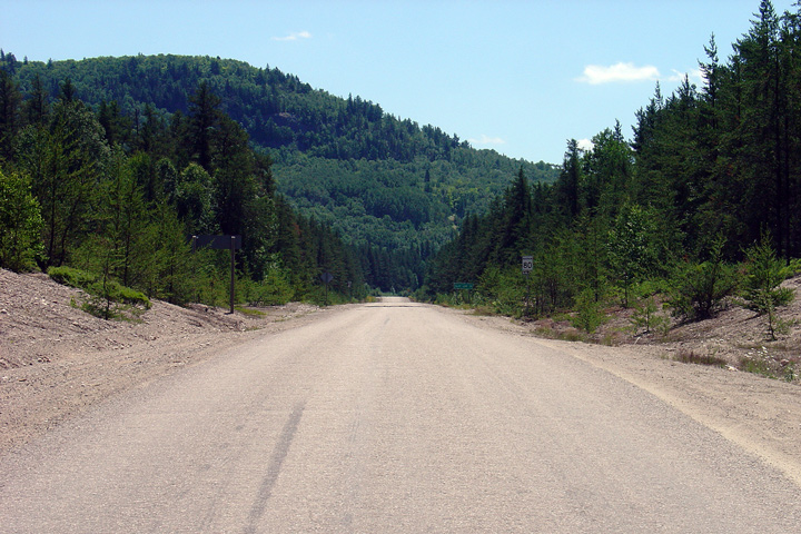
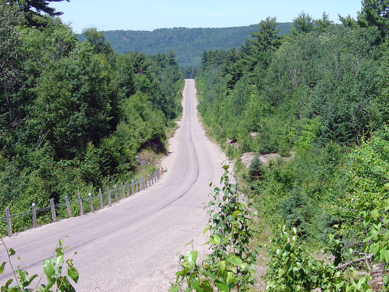
District of Algoma |
View looking northerly as Highway 639 ascends a tall hill in Mississagi
Provincial Park. Photo taken: July 3rd, 2005. |
|
|
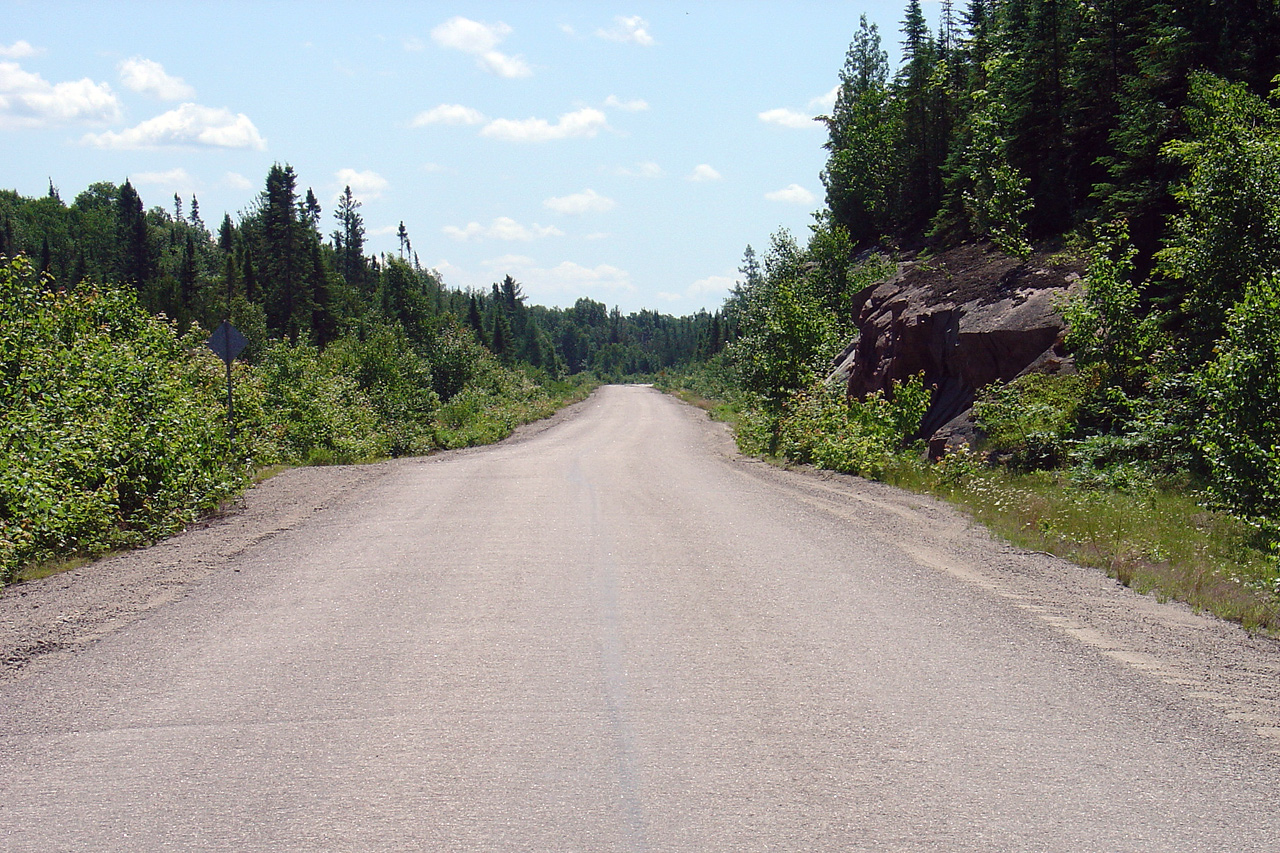
District of Algoma |
Another northerly view as Highway 639 passes through Mississagi Provincial Park. Considering the highway's tight alignment, it is unsurprising that deer are a common sight along Highway 639. Photo taken: July 3rd, 2005. |
|
|
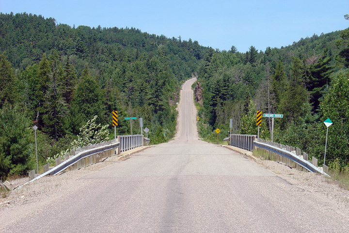
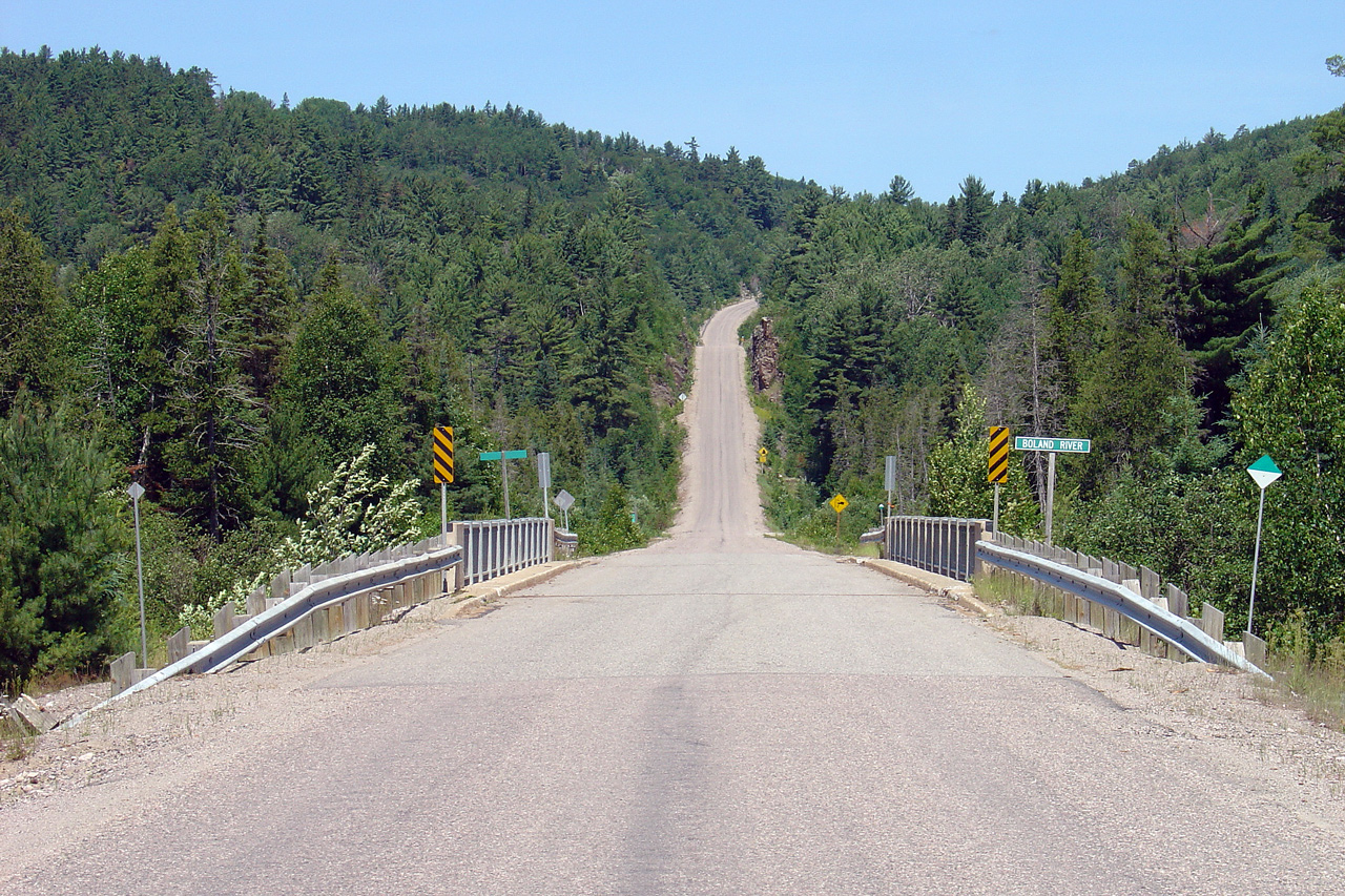
District of Algoma |
View looking northerly across the Boland River bridge. Concrete bridges are
somewhat rare on remote secondary highway's in Northern Ontario. Often
times bailey bridges are used for river crossings. Photo taken: September 3rd, 2006. |
|
|
District of Algoma |
Southerly view towards the Boland River. Photos taken: July 3rd, 2005. |
|
|
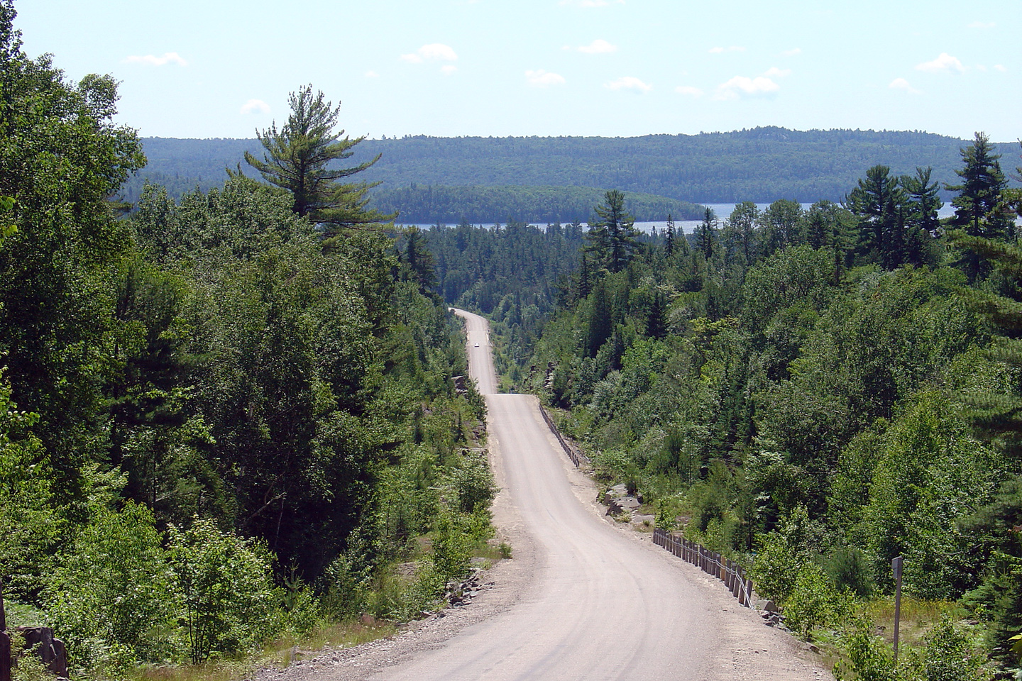
District of Algoma |
View looking southerly towards Flack Lake. As I write this commentary in
2010, it has been over five years since I took these photos. Given how
quickly technology advances, I have to say that I am still impressed with
the photo quality of these images. They were taken by my long retired
Sony DSC-V1 digital camera. |
|
|
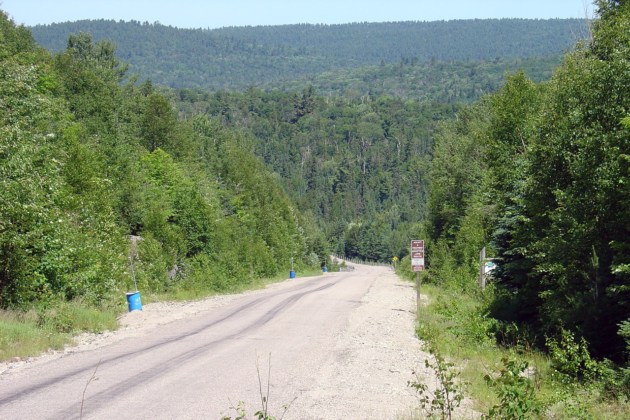
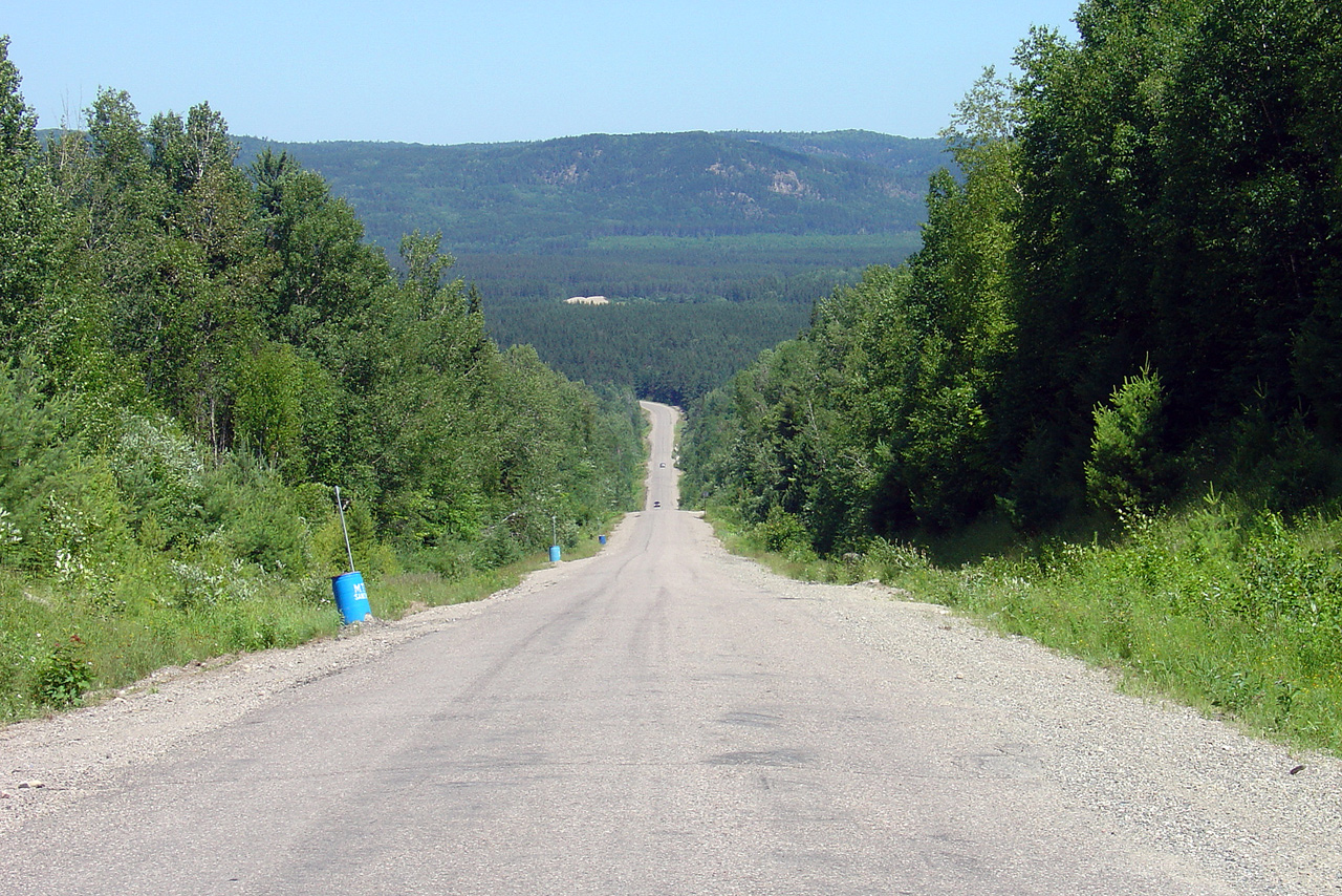
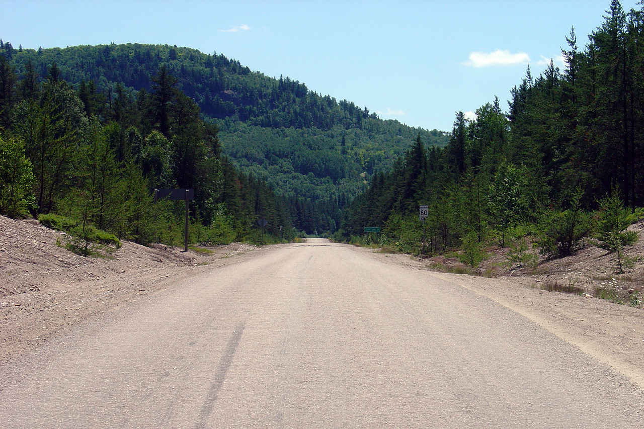
District of Algoma |
Looking south into the high hills of Ontario's Algoma District from the
Highway 546 junction. Photo taken: July 3rd, 2005. |
||
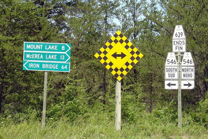
District of Algoma |
At the northern terminus of Highway 539, the secondary highway meets Highway
546 at a 'tee' intersection. Photo taken: July 3rd, 2005. |
 Low-res High-res |
|
District of Algoma |
Junction assembly at the north end of Highway 639 at the Highway 546
junction. The green sign points to two communities north from this
junction, however I can personally attest to the fact that their isn't much
up there. Photo taken: July 3rd, 2005. |
||
| Highway 546 runs northerly from Iron Bridge at Highway 17 to McErea Lake. Click here for Highway 546 images. | |||
<- Highway 638 Images
Back to Highway 639
Highway 640 Images ->
Images Index
Copyright (c) 2004-2010, Scott Steeves (Webmaster) scott@asphaltplanet.ca


