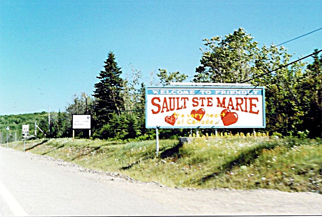
 Large welcome sign for the City of Sault Ste. Marie located on eastbound Highway 17 at the city limits. Summer of 1989.
KING`S HIGHWAY NO. 17
DISTRICT OF ALGOMA
A VERY SPECIAL THANKS TO SCOTT STEEVES AND JOSH ANDERCHEK WHO IDENTIFIED ALL OF THE FOLLOWING PHOTOS FOR ME.
| |
Large welcome sign for the City of Sault Ste. Marie located on eastbound Highway 17 at the city limits. Summer of 1989. |
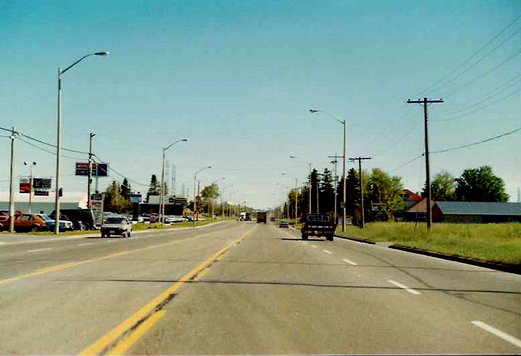 |
Eastbound(southbound) Highway 17, approaching the urban limits of Sault Ste. Marie. Summer of 1989. |
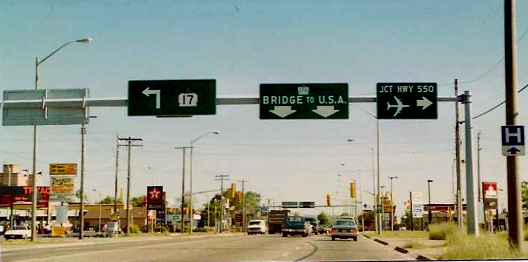 |
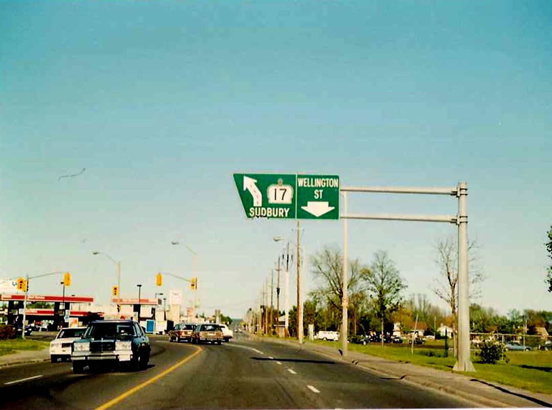
Eastbound Highway 17 approaching its junction with Highway 17B and Highway 550 north of downtown Sault Ste. Marie. This gantry is not very aesthetically pleasing, in fact it may be municipally made. Summer of 1989. |
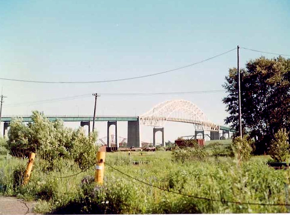 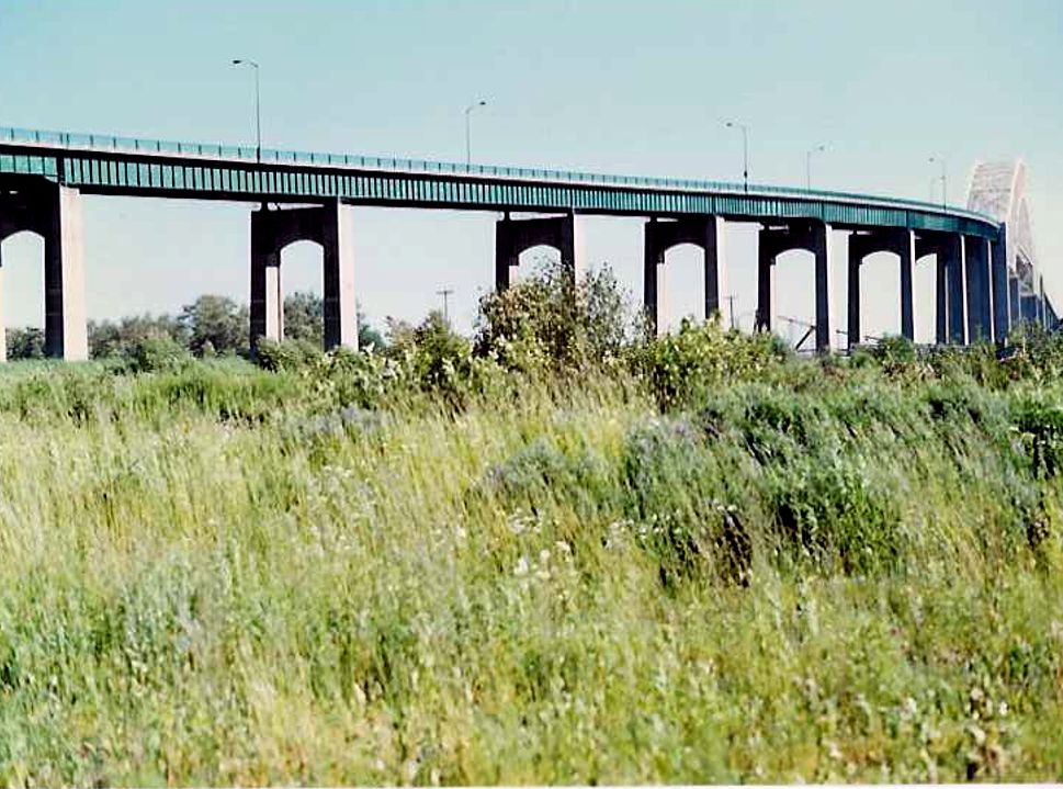 |
Couple of shots of the Sault Ste. Marie International Bridge from Highway 17B. Summer of 1989. |
 |
Palm tree signage located on eastbound Highway 550B at its terminus with Highway 17B in downtown Sault Ste. Marie (I think). Although this is not technically part of Highway 17, Highway 17B is integral link between Highway 17 and the International Bridge in the Sault. Therefore, for the time being, I have decided to house these pictures here. Summer of 1989. |
 |
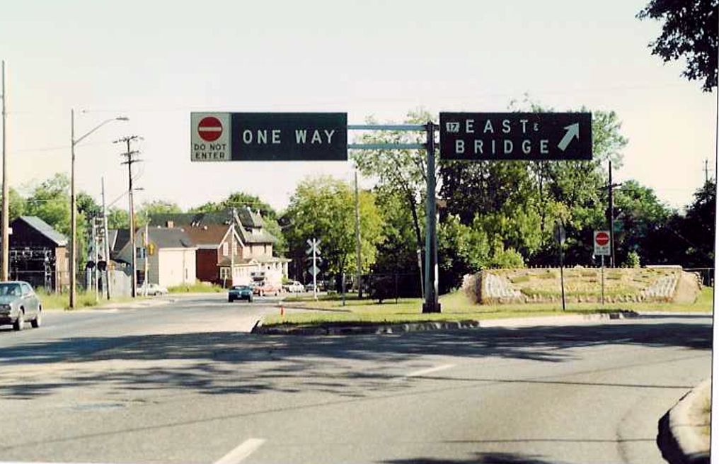
Eastbound Highway 17B, as the designation departs Wellington Street to the northeast. As the Highway 17B terminus with Highway 17 is only a few kilometres to the east of this shot, this municiaplly made overhead gantry only makes reference to Highway 17 for the sake of simplicity. Summer of 1989. |
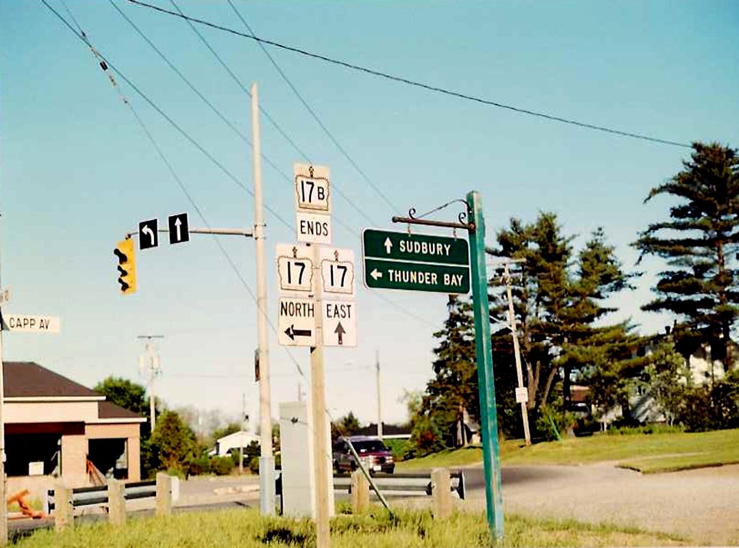 |
Junction assembly marking the the eastern terminus of Highway 17B with Highway 17, about 5 kilometres east of downtown Sault Ste. Marie. Notice the old style control city sign. Summer of 1989. |
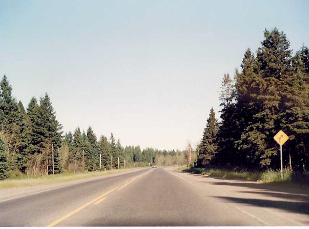 |
Looking east along Highway 17 at an unknown location between Sault Ste. Marie and Thessalon. Summer of 1989. |
 |
Eastbound Highway 17 as it passes through the Garden River Indian Reserve, just east of Sault Ste. Marie. Summer of 1989. |
 |
Looking east along Highway 17 as it enters the town of Echo Bay, east of Sault Ste. Marie. Today, a 4-lane bypass of Highway 17 exists between Echo Bay and Sault Ste. Marie, approximately 1 kilometre north from the highway alignment shown in this photo. Summer of 1989. |
 |
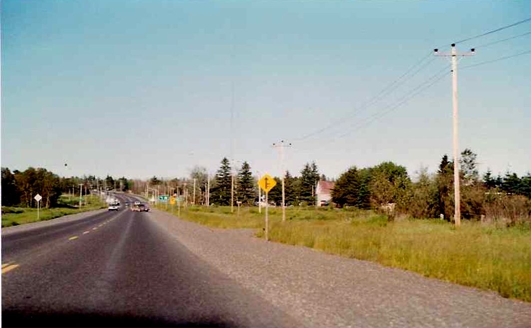
Looking east along Highway 17 as it narrows from a 4 laned divided highway to a two laned rural highway, about 1 km east of its junction with Highway 548. Summer of 1989. |
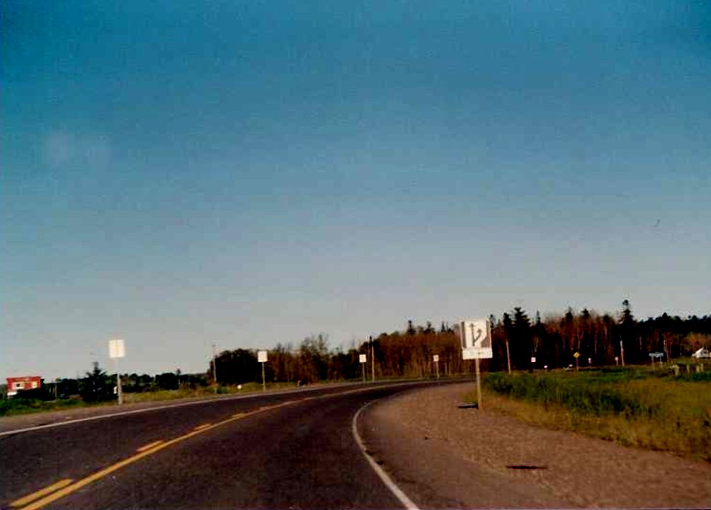 |
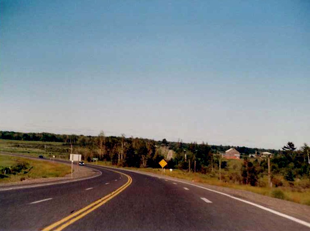
Facing east along Highway 17 before entering Portlock, located just east of Desbarats. Summer of 1989. |
 |
Looking east on Highway 17 towards Gordon Lake Road in Portlock, just east of Desbarats. Summer of 1989. |
 |
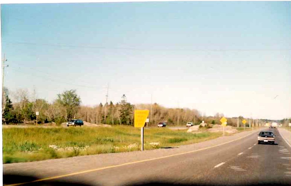
Facing east along Highway at the transition between eastbound and westbound passing lanes about 5 kilometres east of Desbarats. Summer of 1989. |
 |
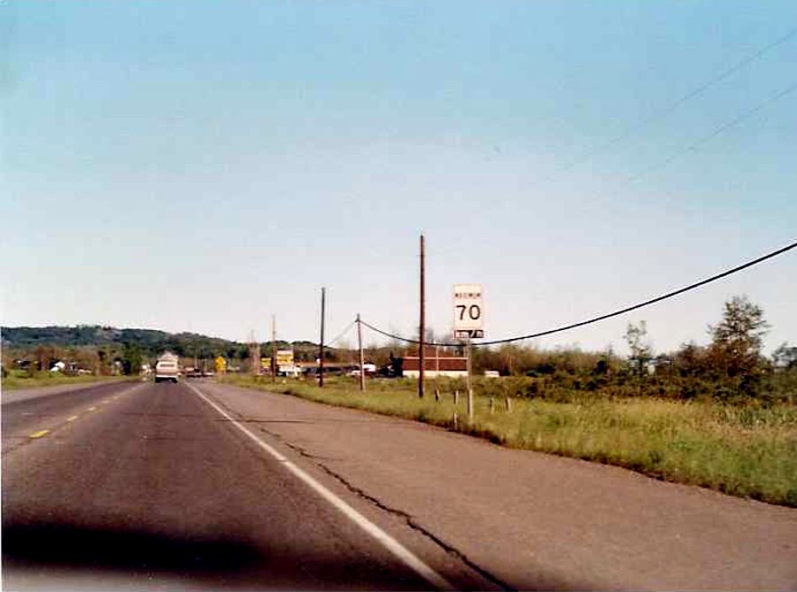
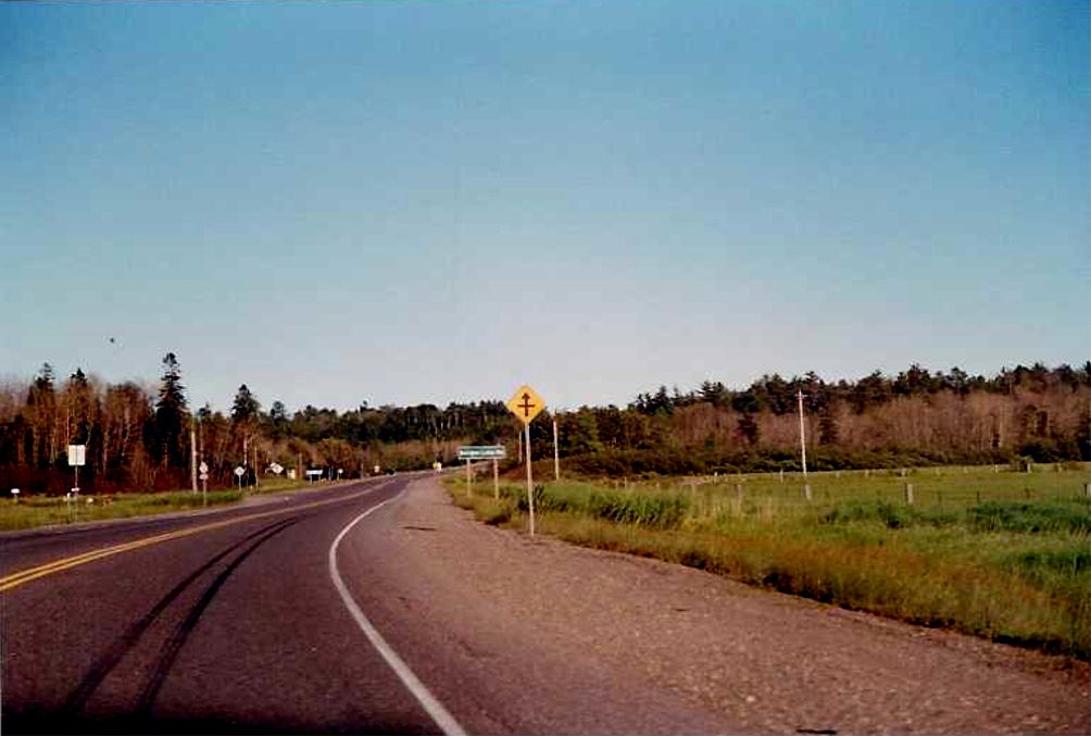
Looking East along Highway 17 towards the Government Road intersection in Thessalon. Highway 129 junction can be seen in the distance.. Summer of 1989. |
 |
Eastbound Highway 17 approaching the Highway 129 junction in Thessalon. Summer of 1989. |
 |
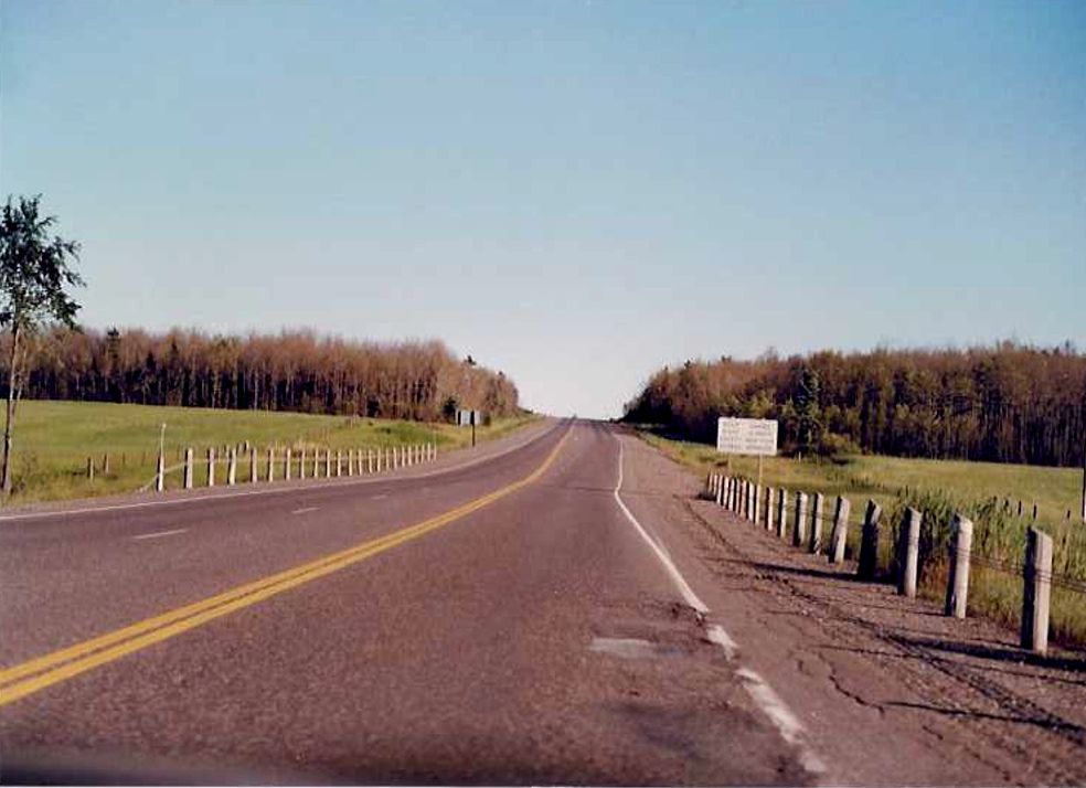
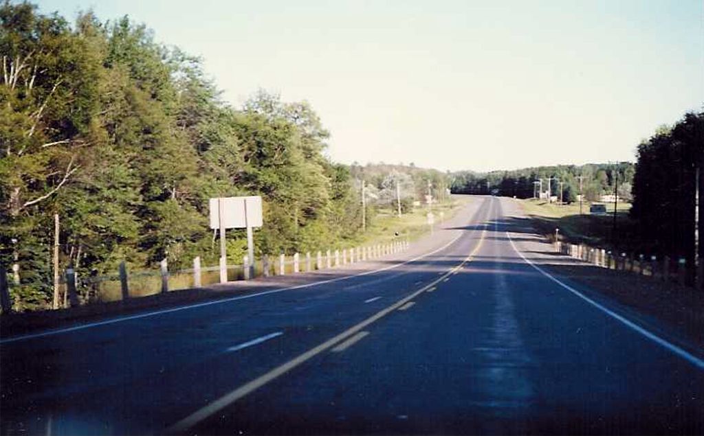
Looking east along Highway 17 towards the curve at Dumond Road, located between Thessalon and Iron Bridge. Summer of 1989. |
 |
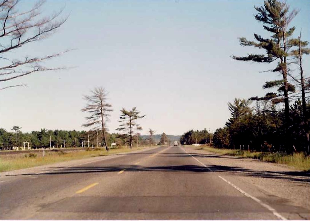
Looking east along Highway 17 approximately 3 kilometres west of the town of Iron Bridge. Summer of 1989. |
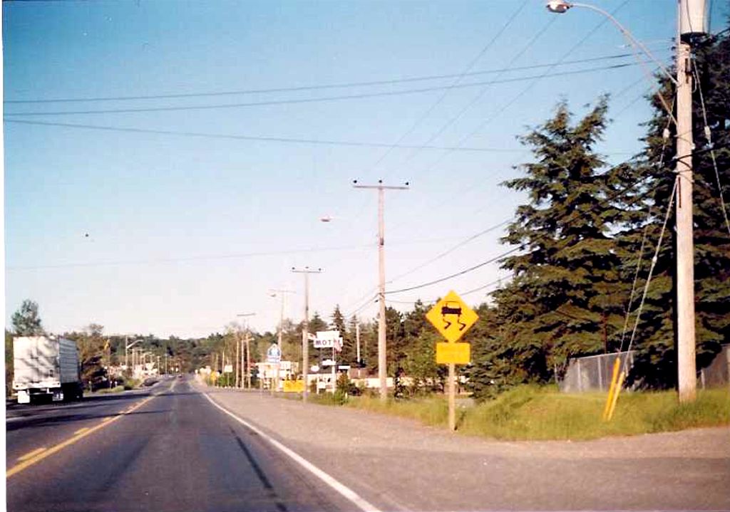 |
"Bridge Ices" sign located on eastbound Highway 17 in advance of Mississagi River Bridge upon entering town of Iron Bridge. Summer of 1989. |
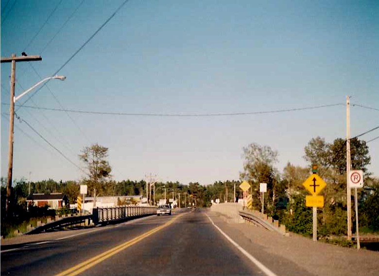 |
Looking east along Highway 17 across the Mississagi River bridge in the town of Iron Bridge. Just east of this bridge is the junction with Highway 546. Summer of 1989. |
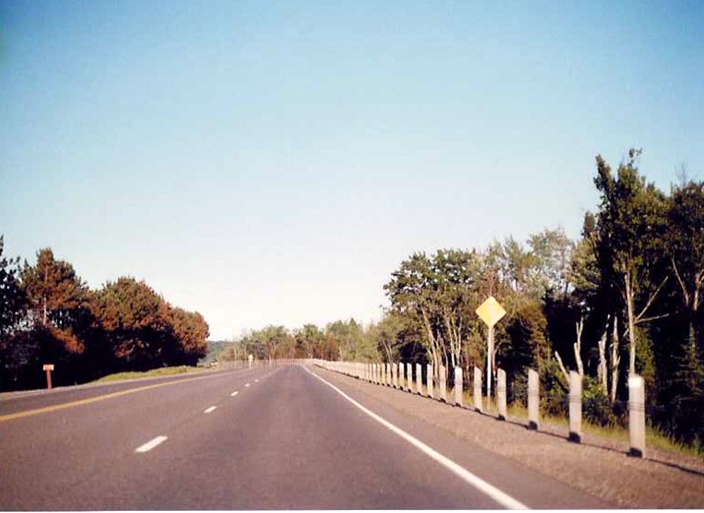 |
Looking east along Highway 17 approximately 4 kilometres east of the town of Iron Bridge. Highway 17 follows the Mississagi River (to the right of the trees) for the next 15 kilometres towards Blind River. Summer of 1989. |
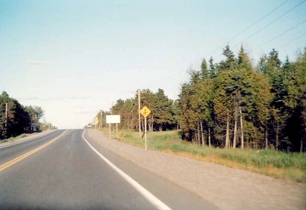 |
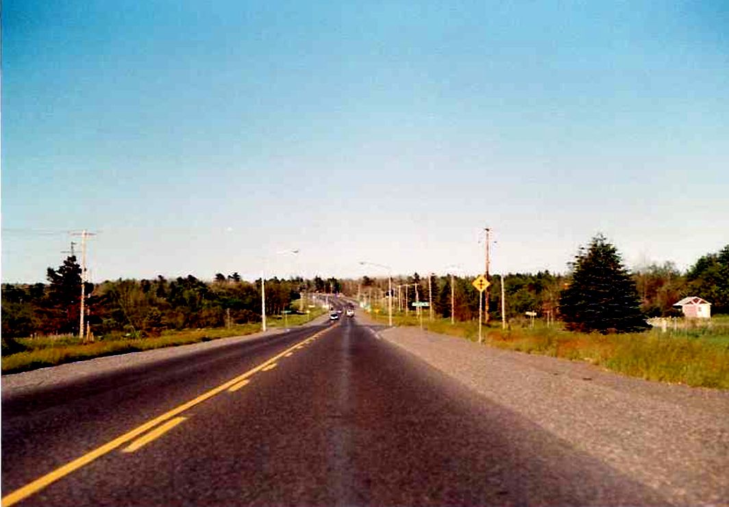
Highway 17 looking east through the Mississagi River First Nation Reserve, about 3 kilometres west of Blind River. Summer of 1989. |
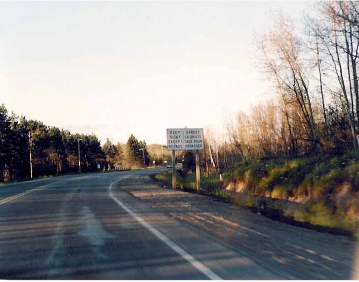 |
Beginning of an eastbound Highway 17 passing lane between Walford and Blind River. Summer of 1989. |