KING`S HIGHWAY NO. 17
DISTRICT OF KENORA
Averill has labeled the following photos as "Highway 17 - Winnipeg to Kenora".
Special thanks to Curtis Walker for providing insight into the specific
locations of some of the photos below.
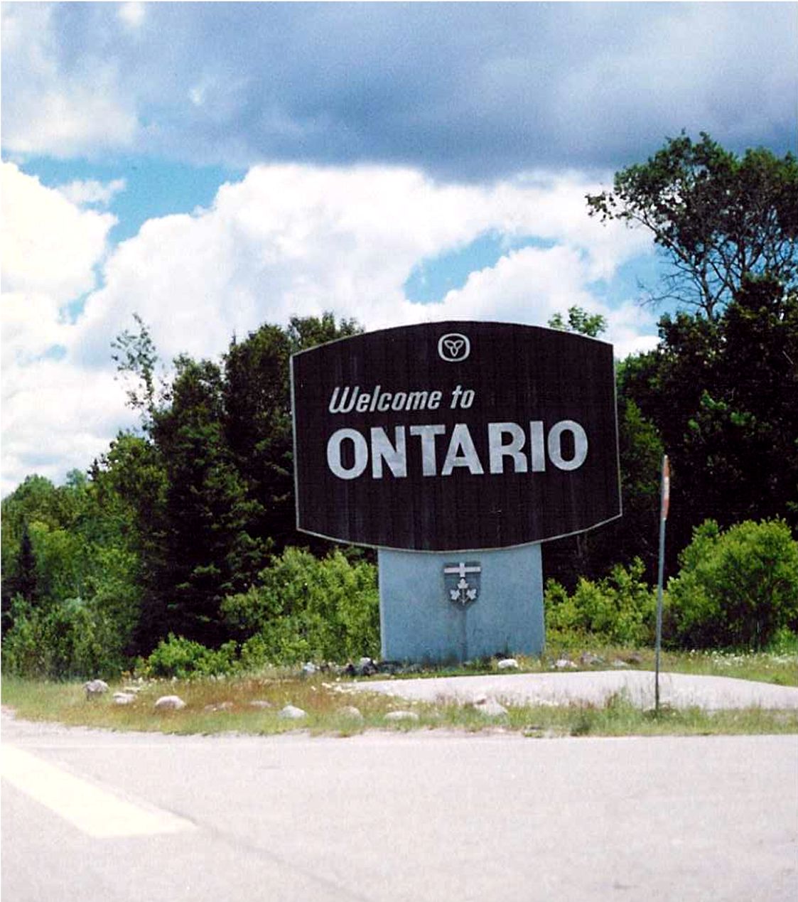 |
WELCOME TO ONTARIO! This is located at the Ontario Welcome
Centre, just east of where Highway 17 starts its 2,000 kilometre journey across northern and eastern Ontario. Summer of 1989. |
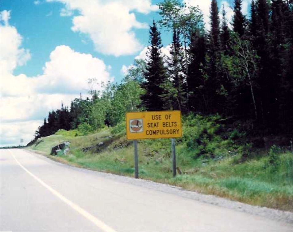
| Eastbound Highway 17. This sign no longer stands, but likely
stood in close proximity to the Manitoba Border. Summer of 1989. |
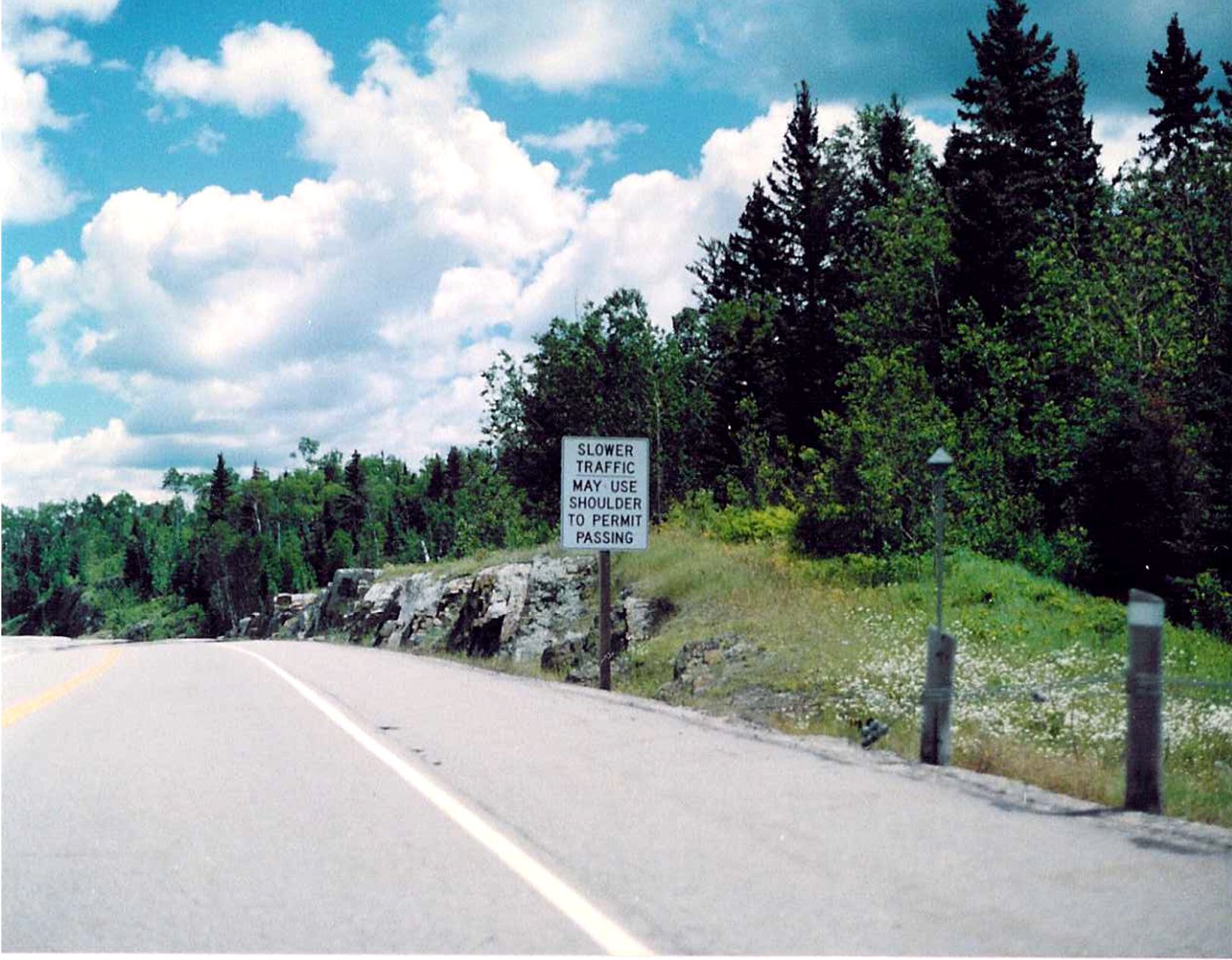 |
Eastbound Highway 17, probably just east of the Manitoba border. Summer of 1989. |
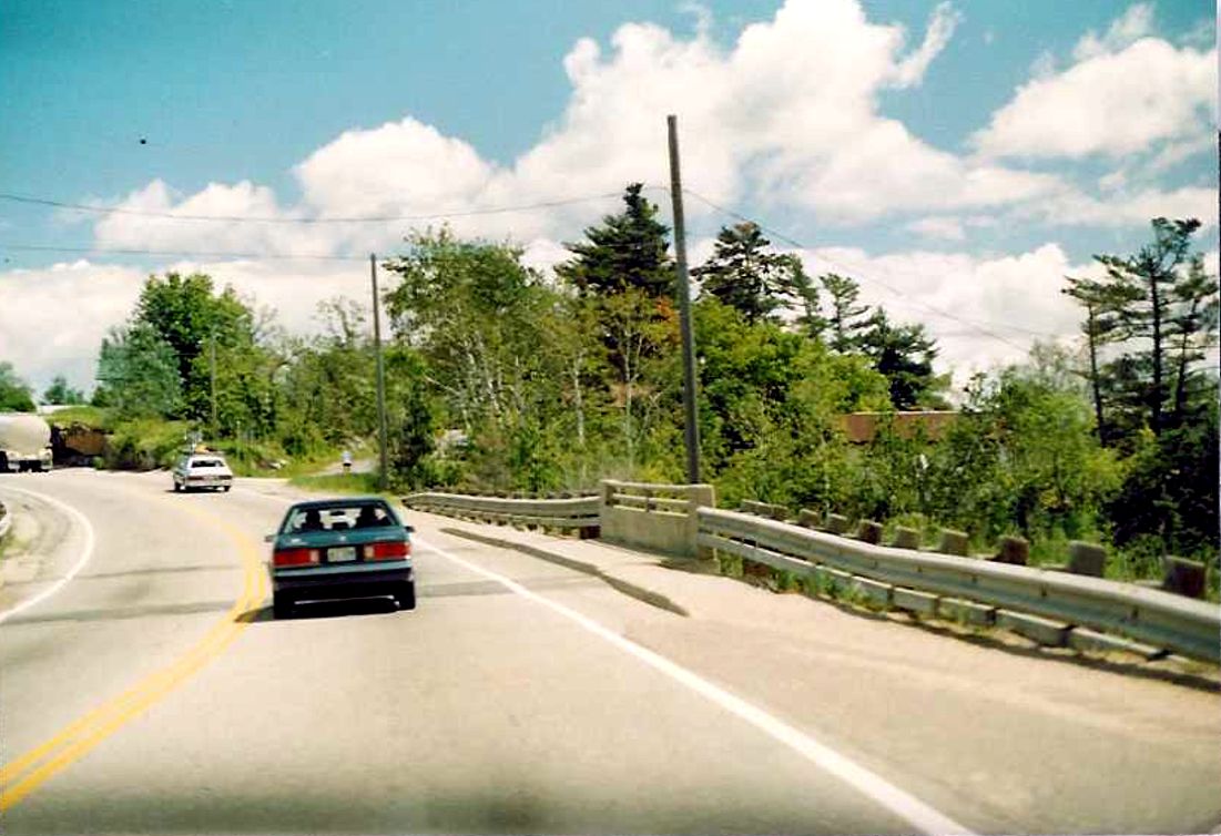
| 25. Highway 17 looking easterly across the Bay Street Bridge in
the village of Keewatin, (now part of the City of Kenroa). Summer of 1989. |
 |
| 24. Highway 17 looking easterly over the Keewatin Bay Bridge in
the City of Kenora. Summer of 1989. |
 |
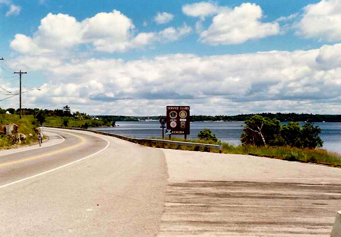
| 23. Highway 17 located immediately east of the Keewatin Channel
Bridge along Highway 17. Summer of 1989. |
 |
| 22. Looking easterly from Tunnel Island as Highway 17 crosses
Norman Bay in the City of Kenora. Summer of 1989. |
 |
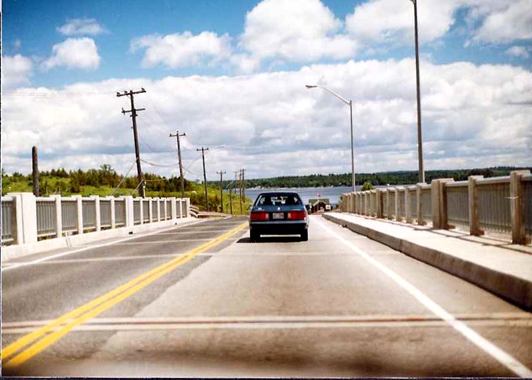
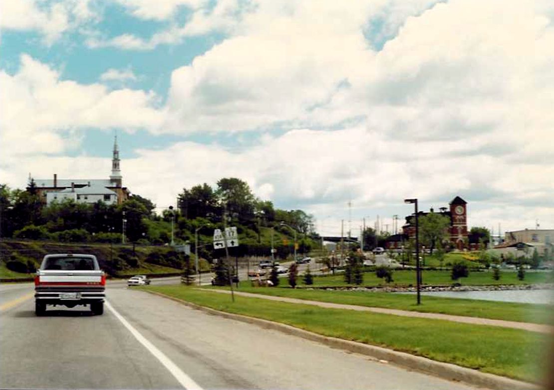
| 21. Highway 17 looking across the Cameron Bay Bridge in the
City of Kenora. Summer of 1989. |
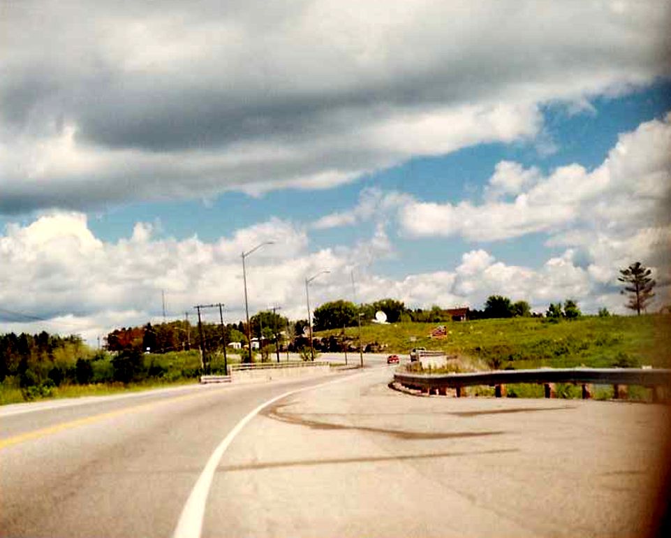 |
| Eastbound Highway 17 approaching Secondary Highway 658 in Kenora.
Summer of 1989. |
 |
ON TO KING'S HIGHWAY 17 - THUNDER BAY
RETURN TO KING'S HIGHWAY 17 - HOME PAGE