|
|
|
|
|
|
West-
Bound
|
|
MRC de Drummond
Notre-Dame-du-Bon-Conseil
|
 Advanced
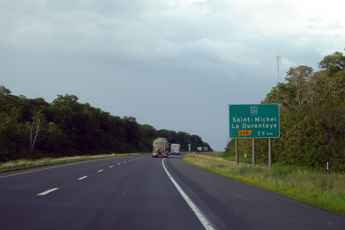
signage for the Route 281 interchange. Route 281 @*@*#$3. Advanced
signage for the Route 281 interchange. Route 281 @*@*#$3. |

High-res |
|
Photographed by: AsphaltPlanet.ca |
Date: 7/5/2006 |
|
MRC de Drummond
Notre-Dame-du-Bon-Conseil
|
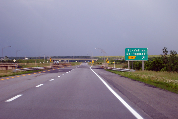
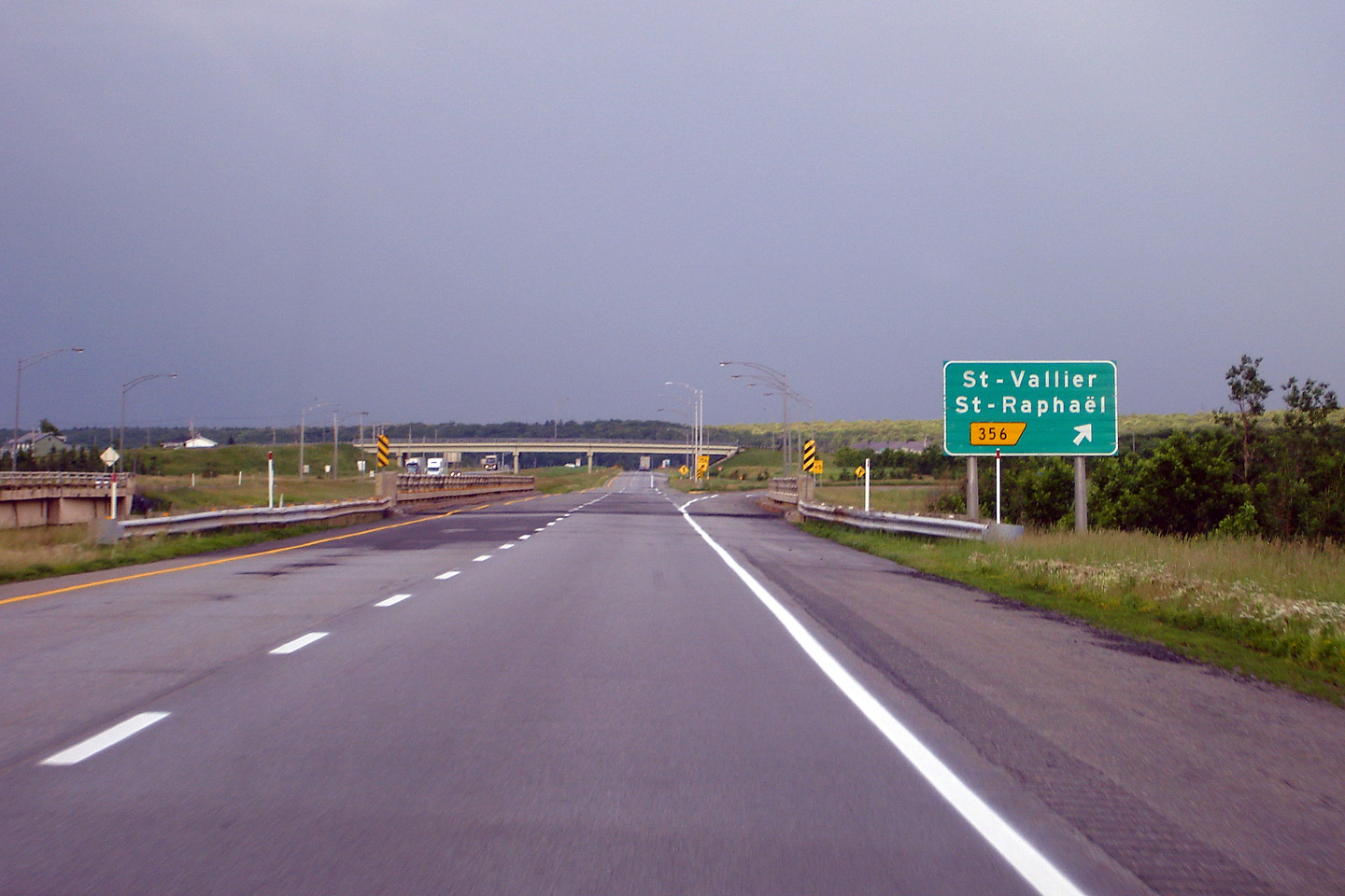
Eastbound
signage at Exit 356. Like many US jurisdictions Quebec often does
not sign a proper road name from a rural freeway if the exit is not a Ground mounted guide signage for the ramp to R-155. This sign still
references A-55 North which since this photo has been relocated easterly,
now meeting A-20 at the A-955 interchange. |

High-res |
|
Photographed by: AsphaltPlanet.ca |
Date: 7/5/2006 |
|
MRC de Drummond
Notre-Dame-du-Bon-Conseil
|
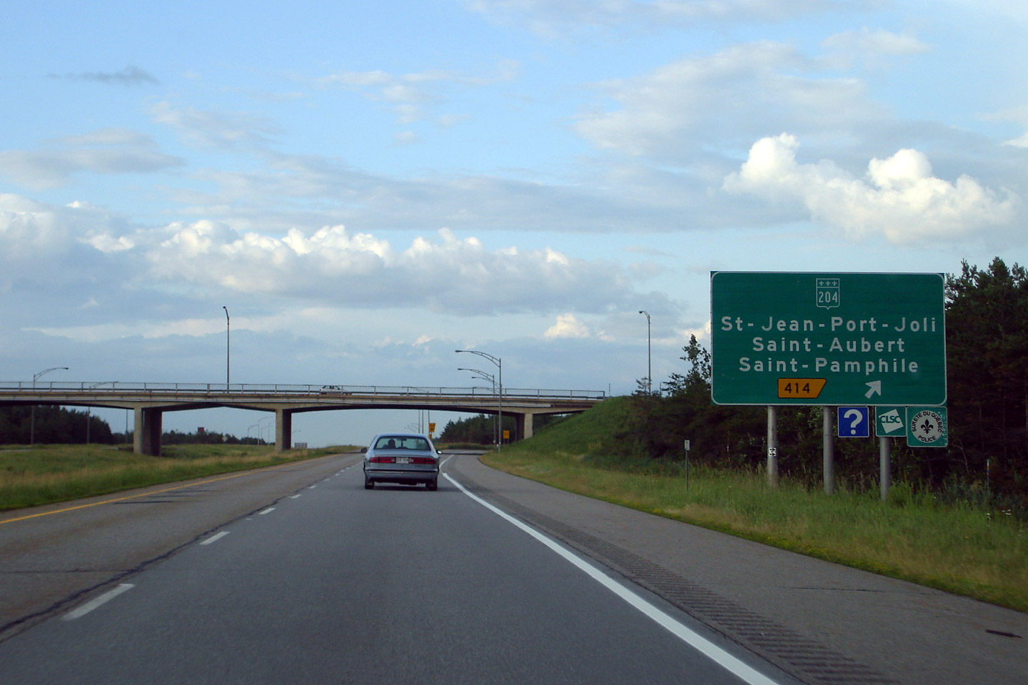
Guide
signage for the Route 204 exit. |

High-res |
|
Photographed by: AsphaltPlanet.ca |
Date: 7/5/2006 |
|
MRC de Drummond
Notre-Dame-du-Bon-Conseil
|
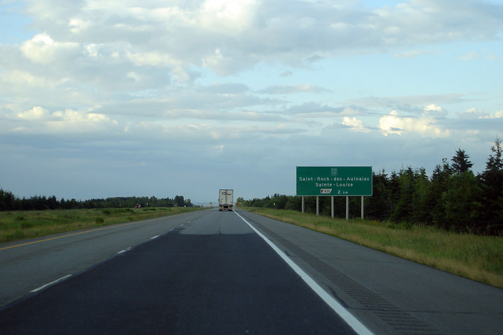
Advanced
signage for Route 132 at Saint-Louise.. |

High-res |
|
Photographed by: AsphaltPlanet.ca |
Date: 7/5/2006 |
|
MRC de Drummond
Notre-Dame-du-Bon-Conseil
|
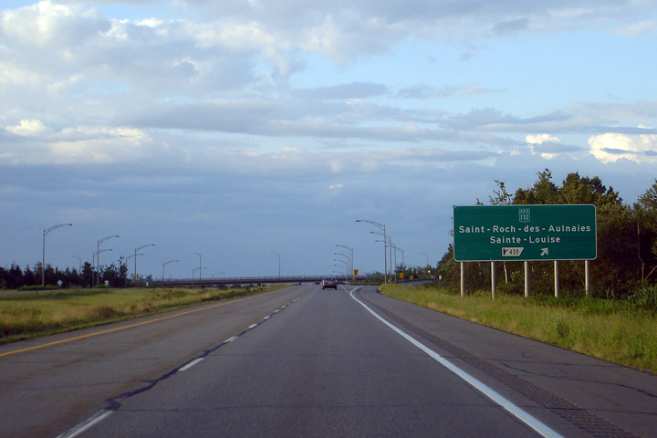
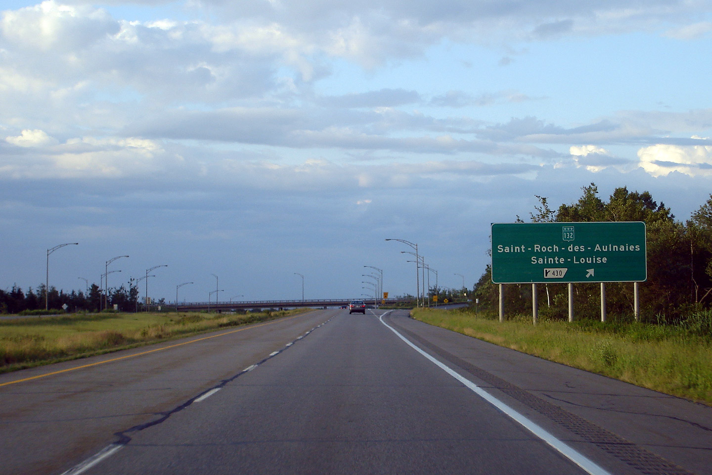
Old
style signage for Route 132 at Saint-Louise _________________. |

High-res |
|
Photographed by: AsphaltPlanet.ca |
Date: 7/5/2006 |
|
MRC de Drummond
Notre-Dame-du-Bon-Conseil
|
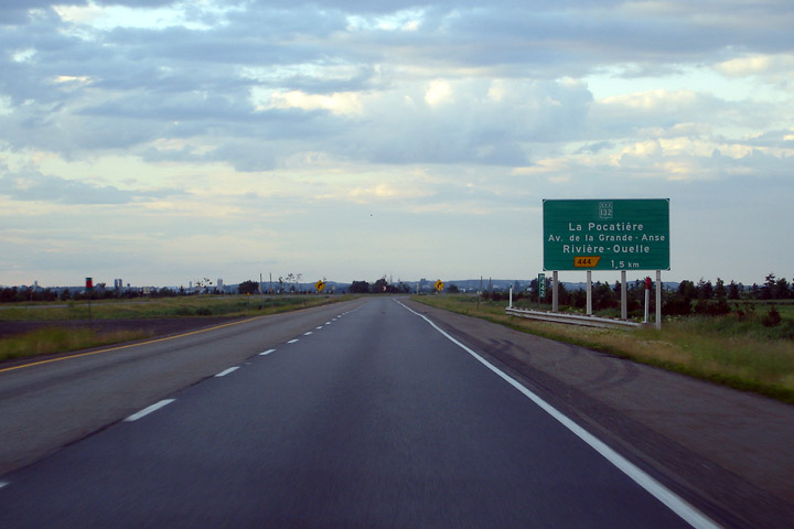
Advanced
signage for Route 132 at _______________ 9Exit 444). |

High-res |
|
Photographed by: AsphaltPlanet.ca |
Date: 7/5/2006 |
|
MRC d'Arthabaska
Sainte-Eulalie
|
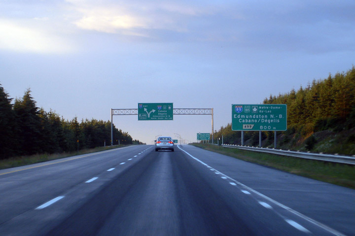
Advanced
signage for the A-85/R-185 interchange from Highway 20. This is
the most important important interchange along A-20 east of Quebec City.
Travelers continue southeasterly into New Brunswick must stay to the
right to follow the Trans-Canada Highway. A-20 continues easterly
through to Rimouski and Mount Jolie. |

High-res |
|
Photographed by: AsphaltPlanet.ca |
Date: 7/5/2006 |
|
MRC d'Arthabaska
Sainte-Eulalie
|
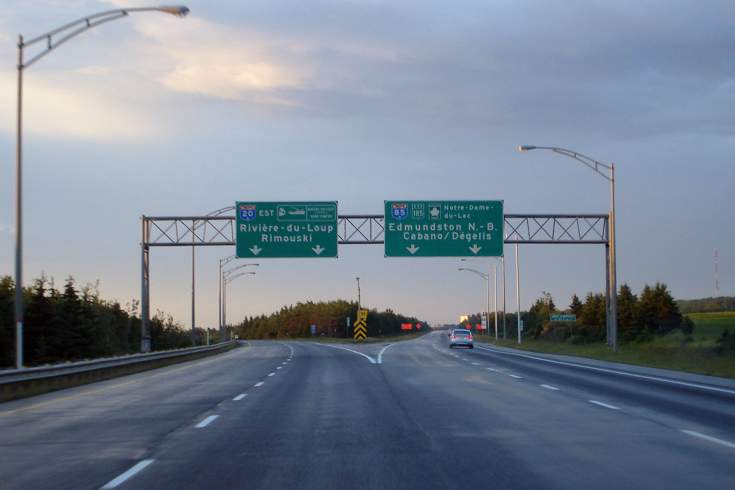
Signage
at the A-85 split. Traffic levels along A-20 sharply decline east
of this interchange. |

High-res |
|
Photographed by: AsphaltPlanet.ca |
Date: 7/5/2006 |


