|
|
|
|
|
|
West-
Bound
|
|
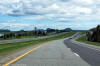
MRC de Kamouraska
Saint-Philippe-de-Neri
|
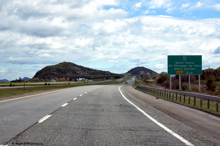
Eastbound advanced signage for the exit to Route 287. |
 |
|
Photographed by: AsphaltPlanet.ca |
Date: 5/25/2015 |
High-res:
(1440x960)
(2400x1600) |
|
MRC de Kamouraska
Saint-Philippe-de-Neri
|
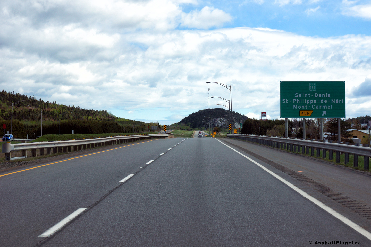
Signage for the ramp to Route 287. |
 |
|
Photographed by: AsphaltPlanet.ca |
Date: 5/25/2015 |
High-res:
(1440x960)
(2400x1600) |
|
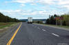
MRC de Kamouraska
Saint-Philippe-de-Neri
|
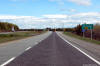
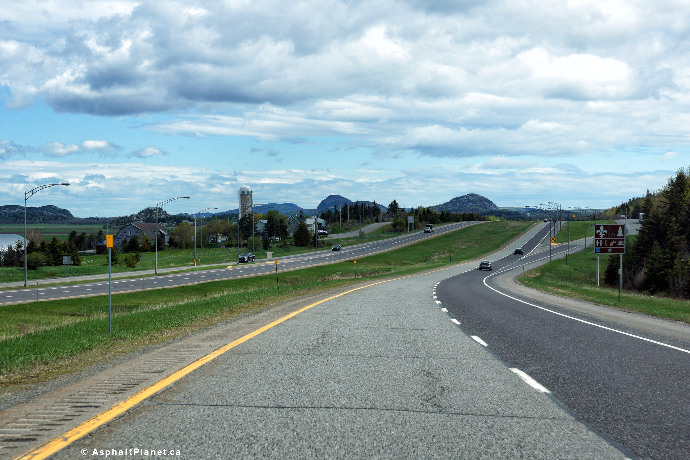
View looking easterly along Autoroute 20 as it passes by the
Saint-Philippe Rest Areas. |
 |
|
Photographed by: AsphaltPlanet.ca |
Date: 5/25/2015 |
High-res:
(1440x960)
(2400x1600) |
|
MRC de Kamouraska
Saint-André
|
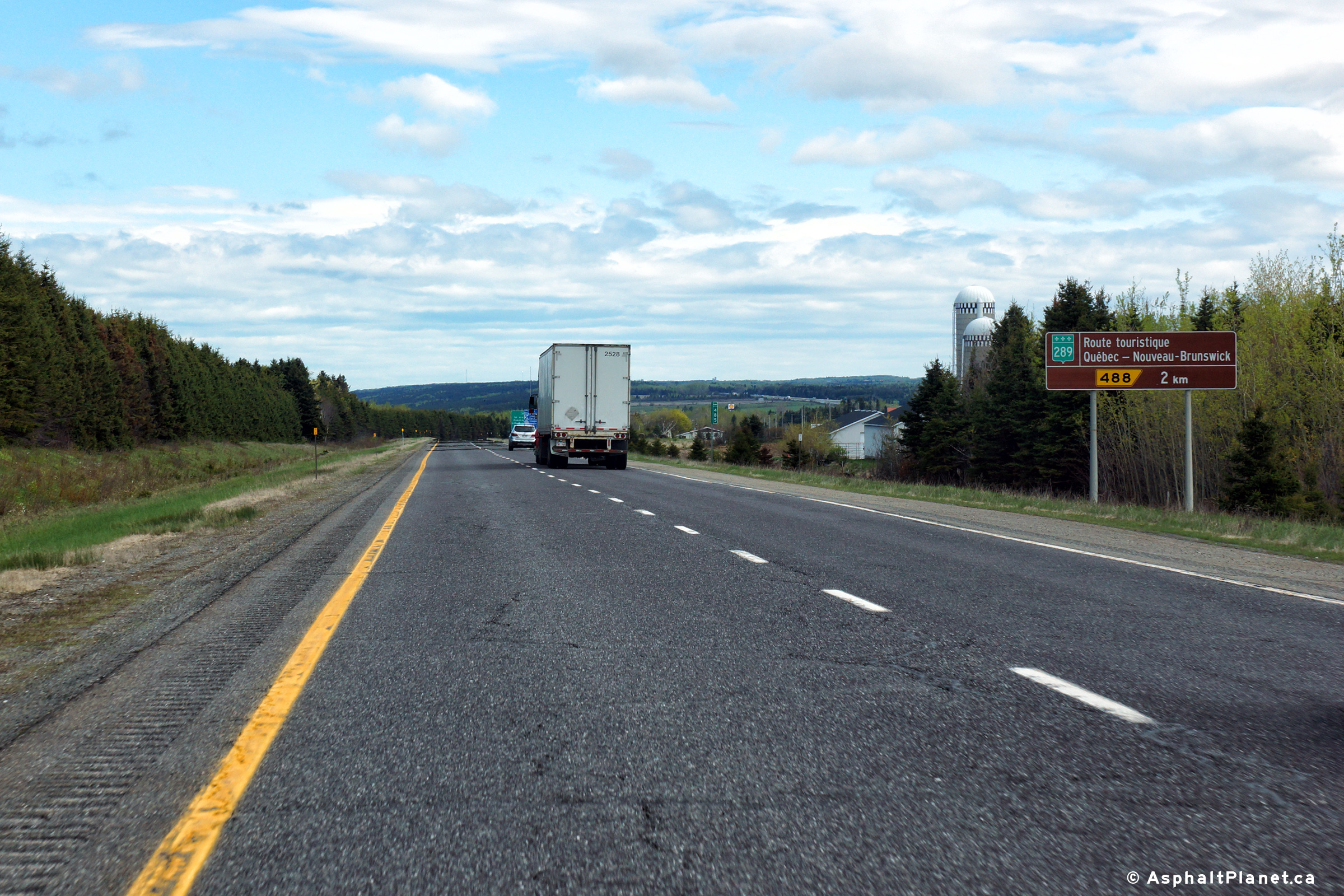
Advanced signage advising motorists that Route 289 serves as a scenic
alternate route to New Brunswick. |
 |
|
Photographed by: AsphaltPlanet.ca |
Date: 5/25/2015 |
High-res:
(1440x960)
(2400x1600) |
|
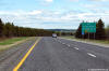
MRC de Kamouraska
Saint-André
|
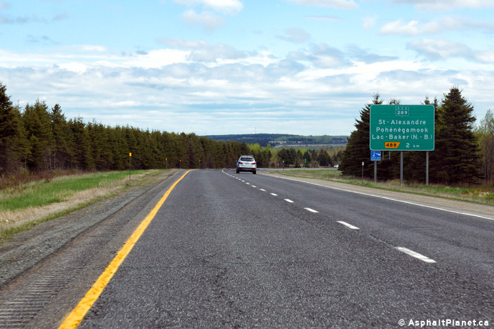
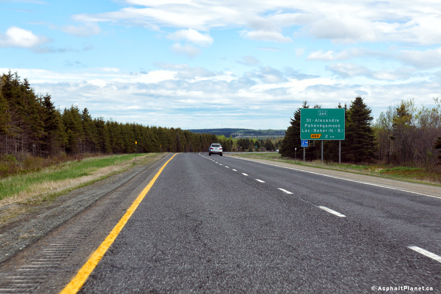
Advanced signage for the Route 289 interchange. |
 |
|
Photographed by: AsphaltPlanet.ca |
Date: 5/25/2015 |
High-res:
(1440x960)
(2400x1600) |
|
MRC de Kamouraska
Saint-André
|
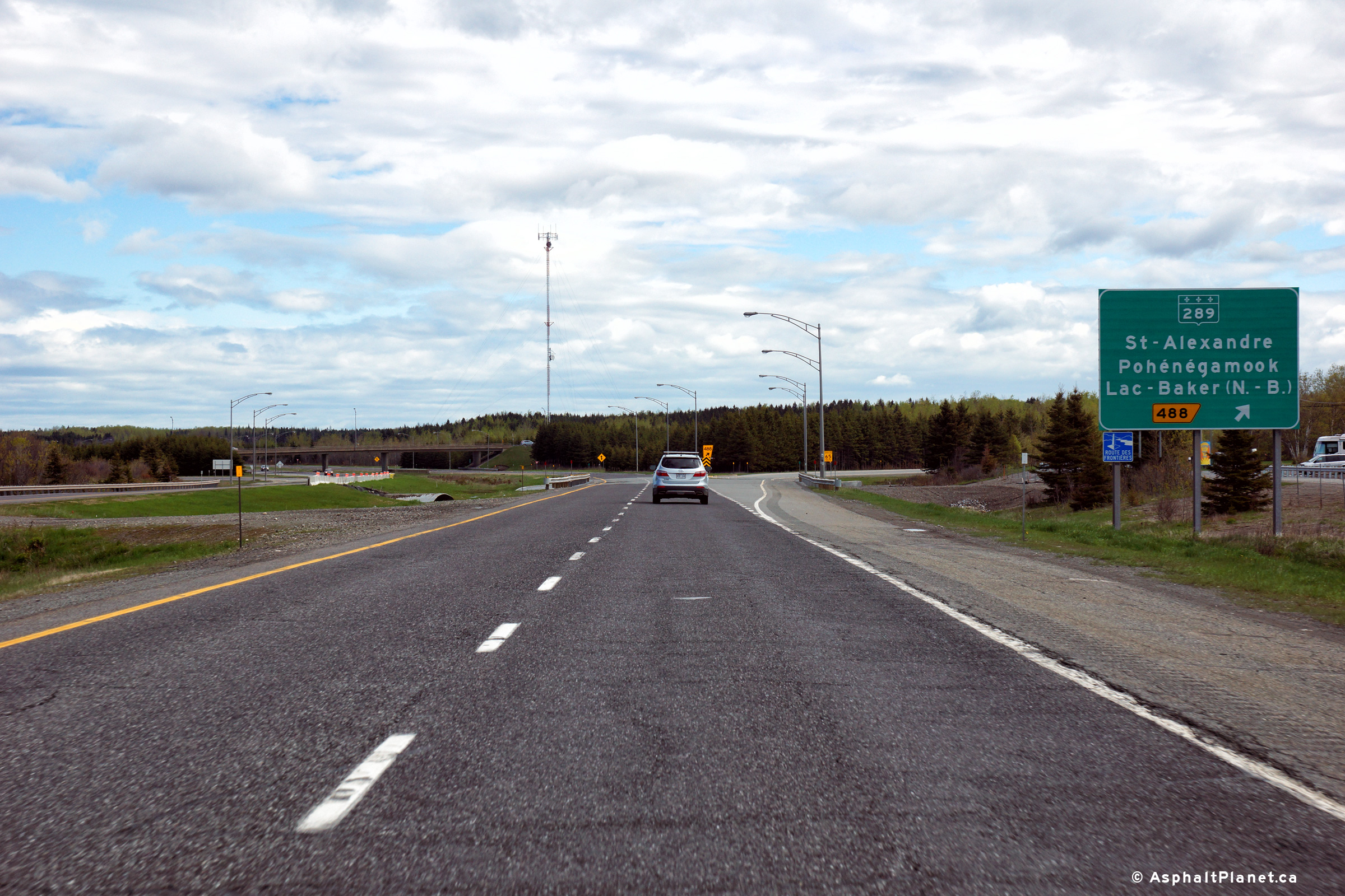
Signage at the eastbound off-ramp to Route 289. |
 |
|
Photographed by: AsphaltPlanet.ca |
Date: 5/25/2015 |
High-res:
(1440x960)
(2400x1600) |
|
MRC de Rivière-du-Loup
Notre-Dame-du-Portage
|
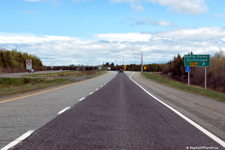
Advanced signage for the off-ramp to Notre-Dame-du-Portage. |
 |
|
Photographed by: AsphaltPlanet.ca |
Date: 5/25/2015 |
High-res:
(1440x960)
(2400x1600) |
|
MRC de Rivière-du-Loup
Notre-Dame-du-Portage
|
Signage at the eastbound off-ramp to Notre-Dame-du-Portage. |
 |
|
Photographed by: AsphaltPlanet.ca |
Date: 5/25/2015 |
High-res:
(1440x960)
(2400x1600) |
|
MRC de Rivière-du-Loup
Notre-Dame-du-Portage
|
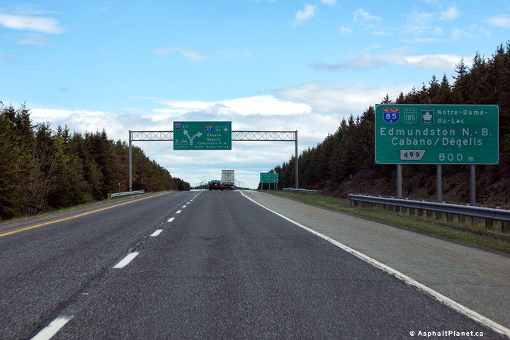
Advanced signage for Autoroute 85. The Trans-Canada Highway exits
Autoroute 20 at this interchange and follows A-85 into New Brunswick. |
 |
|
Photographed by: AsphaltPlanet.ca |
Date: 5/25/2015 |
High-res:
(1440x960)
(2400x1600) |
|
MRC de Rivière-du-Loup
Notre-Dame-du-Portage
|
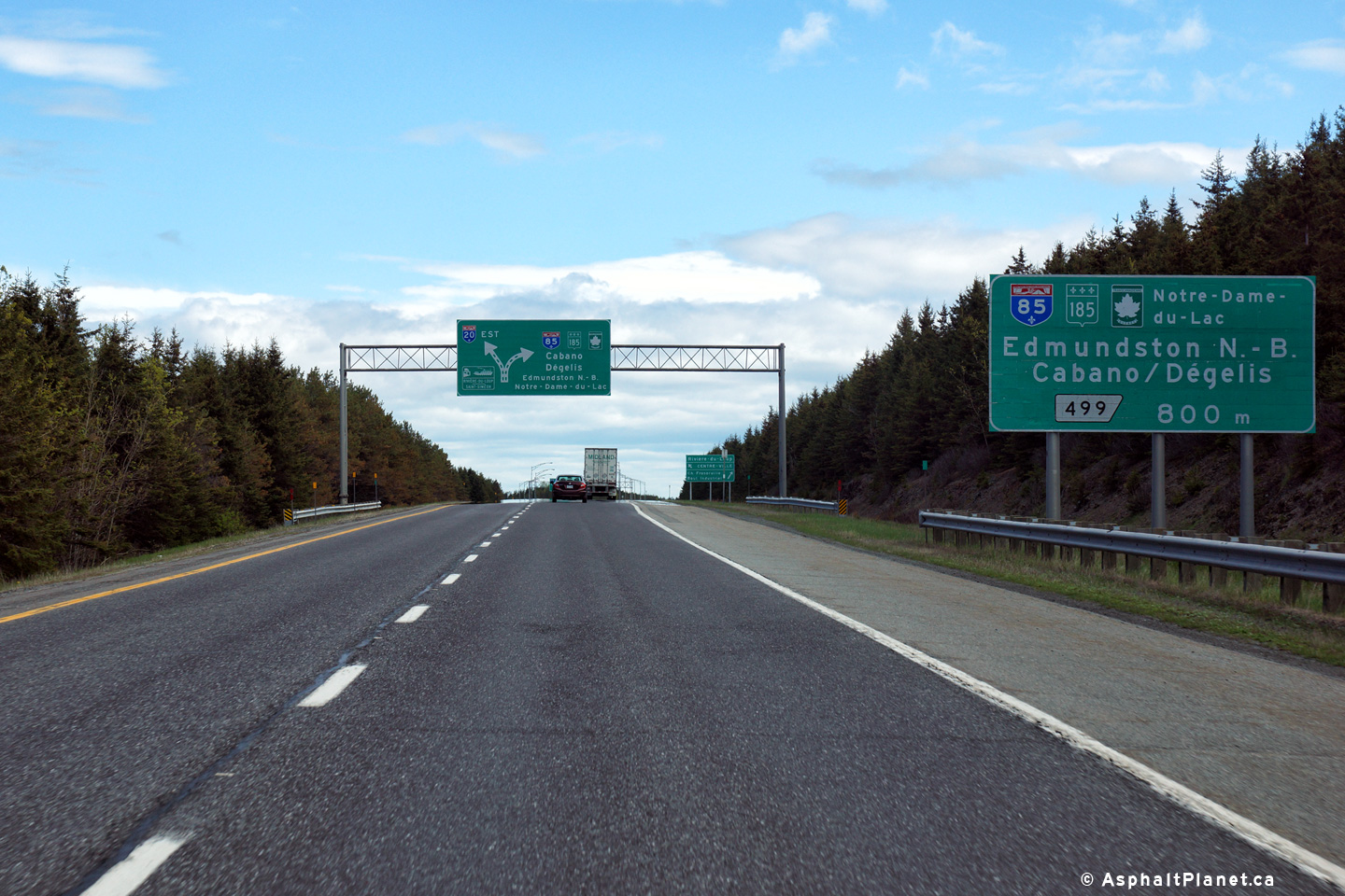
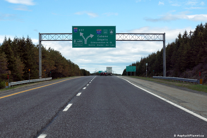
Diagram signage for the upcoming A-20/A-85 interchange. |
 |
|
Photographed by: AsphaltPlanet.ca |
Date: 5/25/2015 |
High-res:
(1440x960)
(2400x1600) |
|
MRC de Rivière-du-Loup
Notre-Dame-du-Portage
|
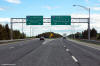
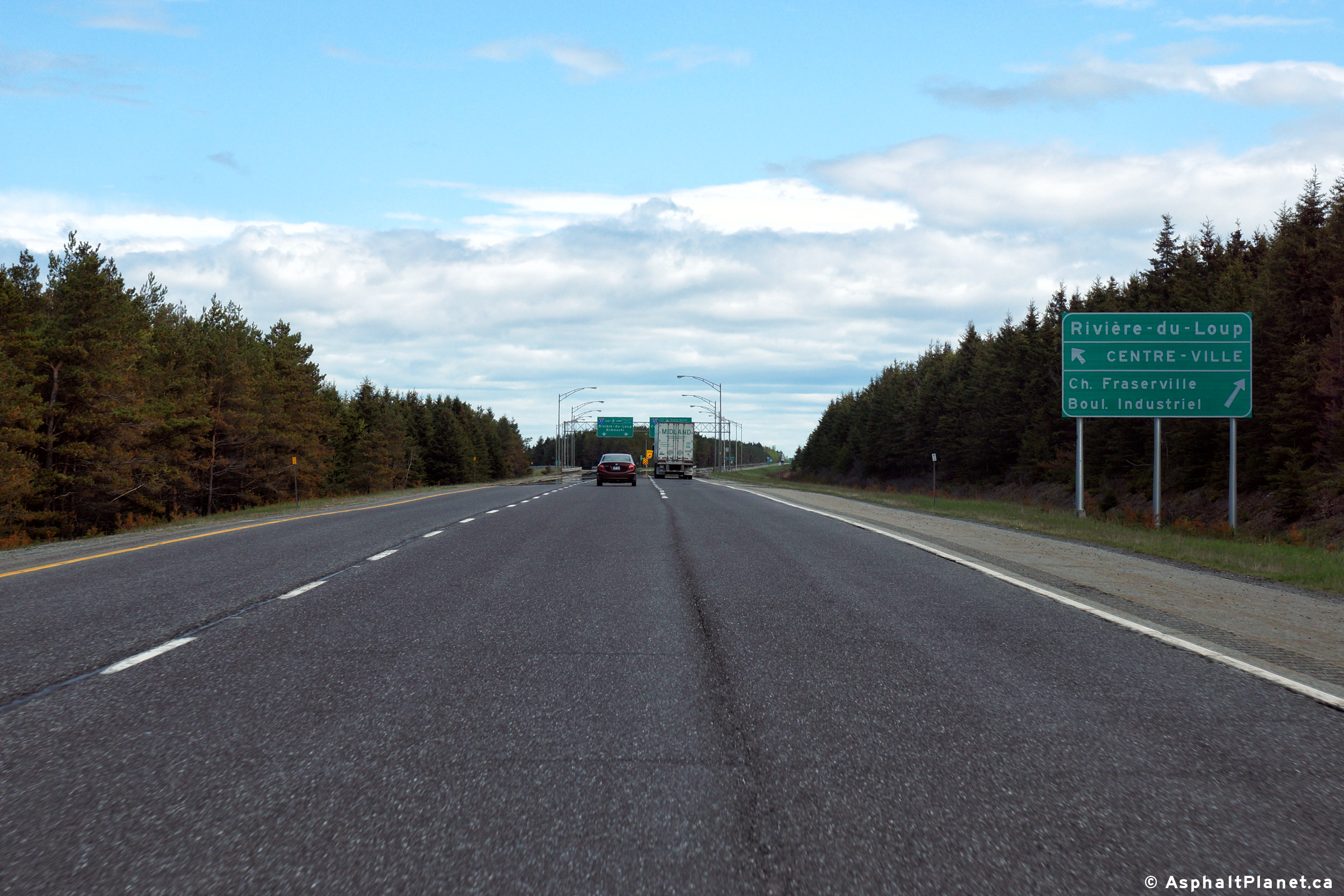
Signage directing eastbound motorists to the various interchanges within
Rivière-du-Loup. |
 |
|
Photographed by: AsphaltPlanet.ca |
Date: 5/25/2015 |
High-res:
(1440x960)
(2400x1600) |
|
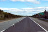
MRC de Rivière-du-Loup
Notre-Dame-du-Portage
|
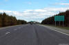
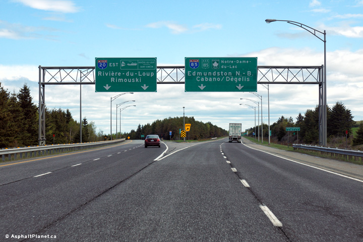
View as the eastbound lanes of Autoroute 20 split for Autoroute 85. |
 |
|
Photographed by: AsphaltPlanet.ca |
Date: 5/25/2015 |
High-res:
(1440x960)
(2400x1600) |


