|
|
|
|
|
|
West-
Bound
|
|
MRC de Rivière-du-Loup
Cacouna
|
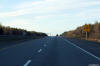
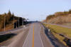
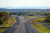
Westerly view at the off-ramp to Route 191. |
 |
|
Photographed by: AsphaltPlanet.ca |
Date: 5/25/2015 |
High-res:
(1440x960)
(2400x1600) |
|
MRC de Rivière-du-Loup
Cacouna
|
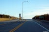
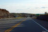
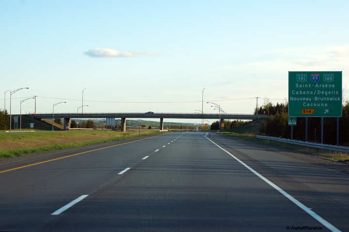
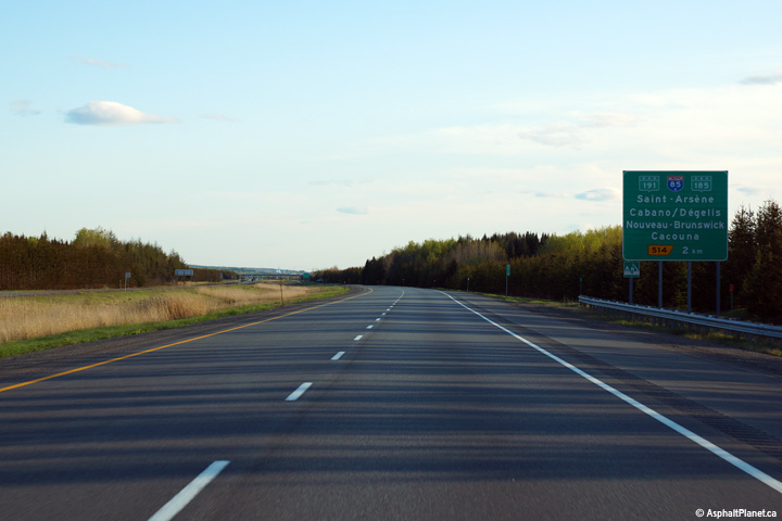
Westbound advanced signage for the Route 191 interchange. There is
not a direct connection between A-20 West and A-85 South, so traffic
bound for A-85 is directed to follow Route 191. |
 |
|
Photographed by: AsphaltPlanet.ca |
Date: 5/25/2015 |
High-res:
(1440x960)
(2400x1600) |
|
MRC de Rivière-du-Loup
Cacouna
|
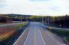
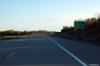
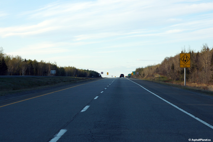
Signage notifying eastbound motorists that the divided highway will soon
narrowing to a single carriageway highway. |
 |
|
Photographed by: AsphaltPlanet.ca |
Date: 5/25/2015 |
High-res:
(1440x960)
(2400x1600) |
|
MRC de Rivière-du-Loup
Cacouna
|
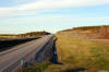
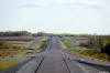
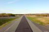
Two views looking westerly as Autoroute 20 transitions from two to four
lanes. |
 |
|
High-res:
(1440x960)
(2400x1600) |
|
 |
|
Photographed by: AsphaltPlanet.ca |
Date: 5/25/2015 |
High-res:
(1440x960)
(2400x1600) |
|
MRC de Rivière-du-Loup
Cacouna
|
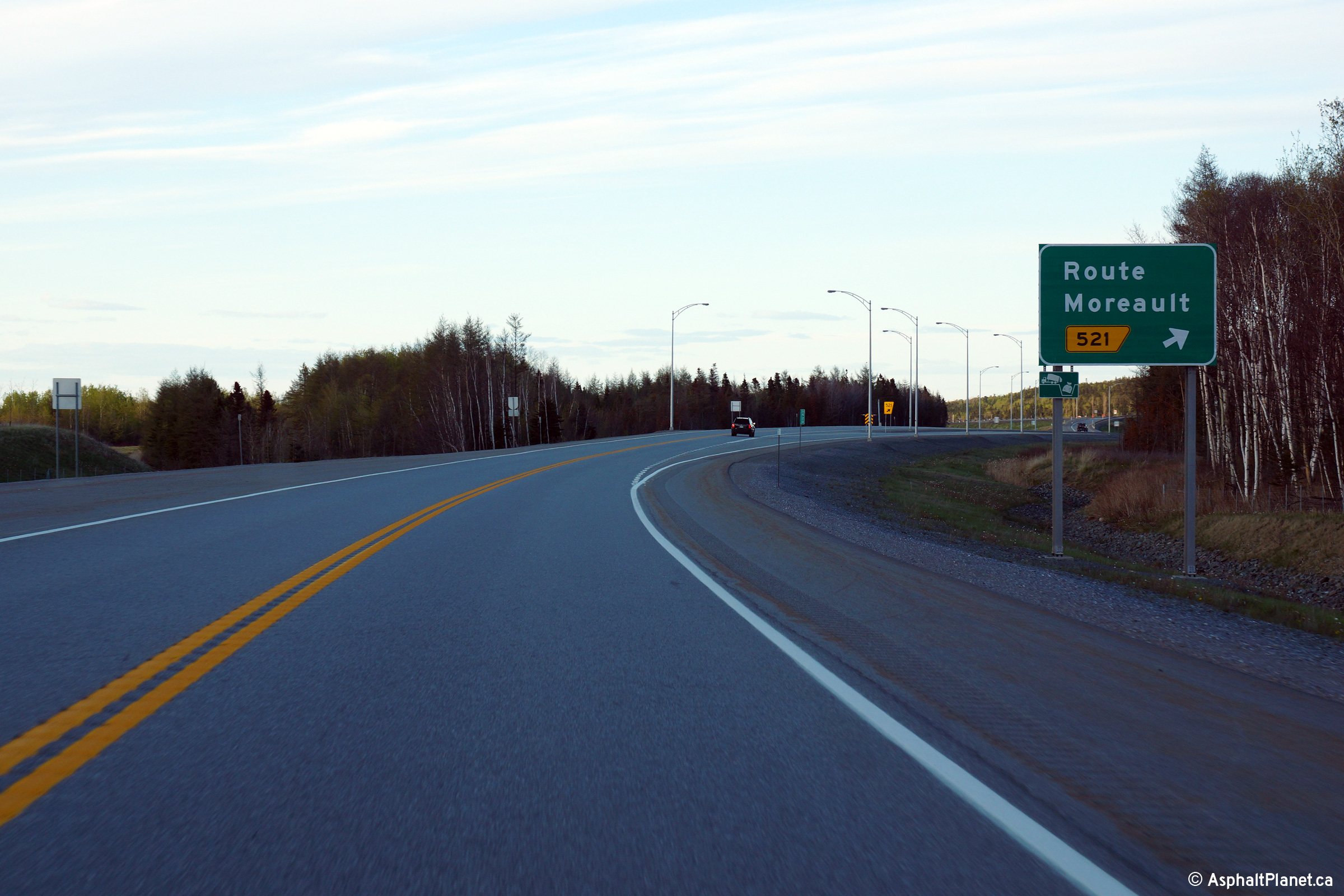
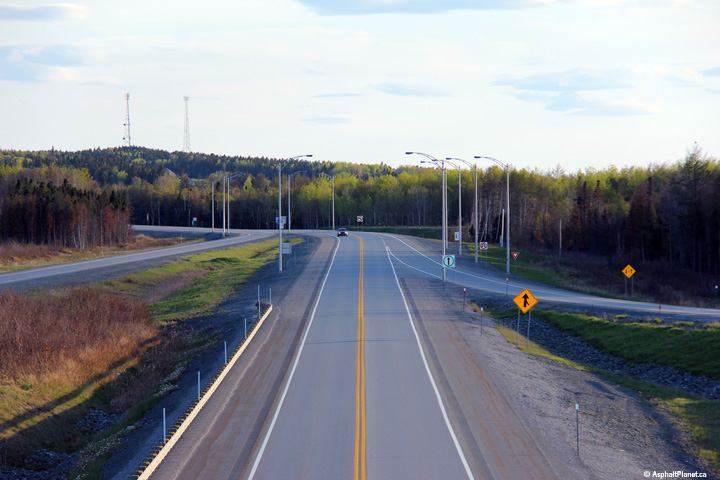
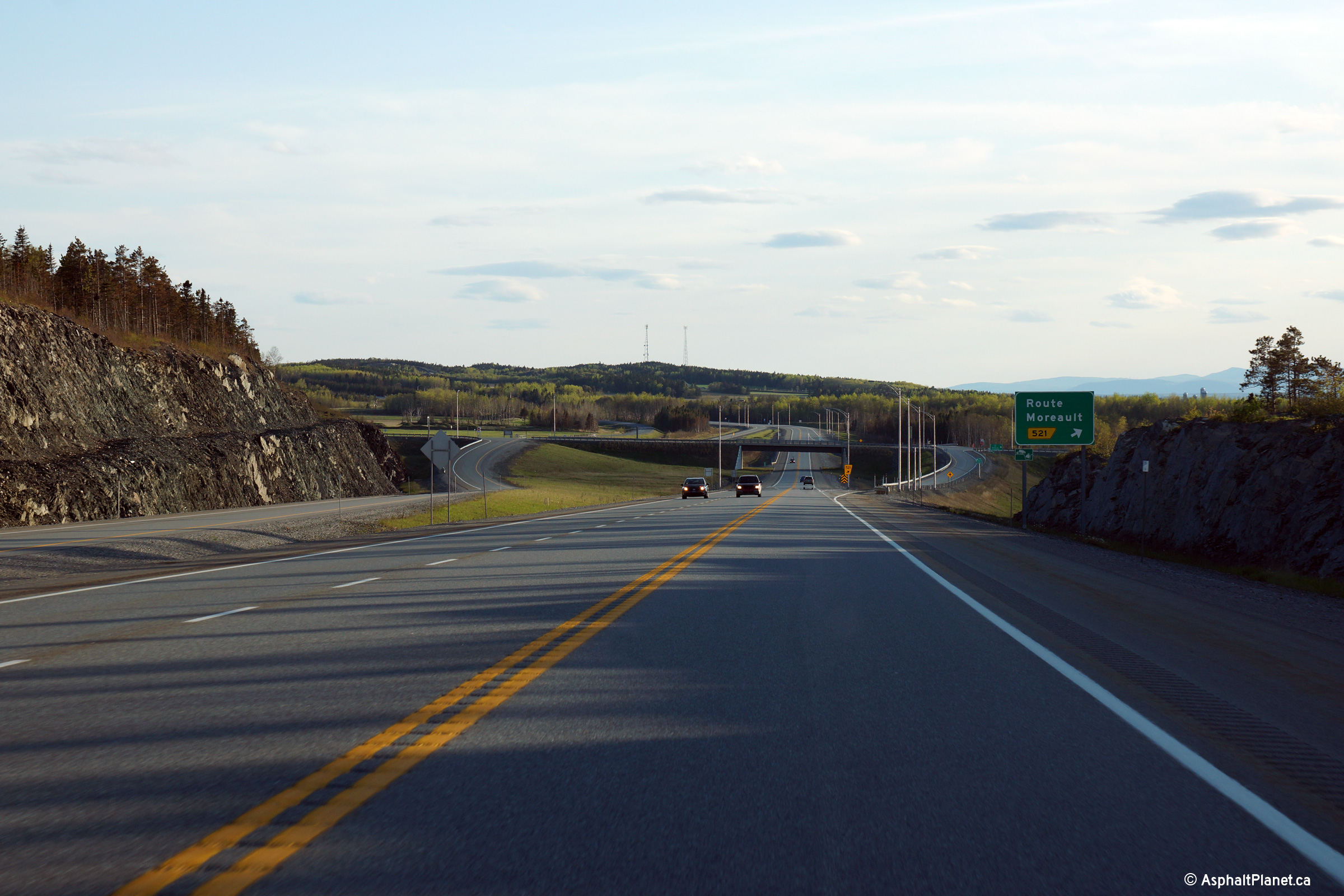
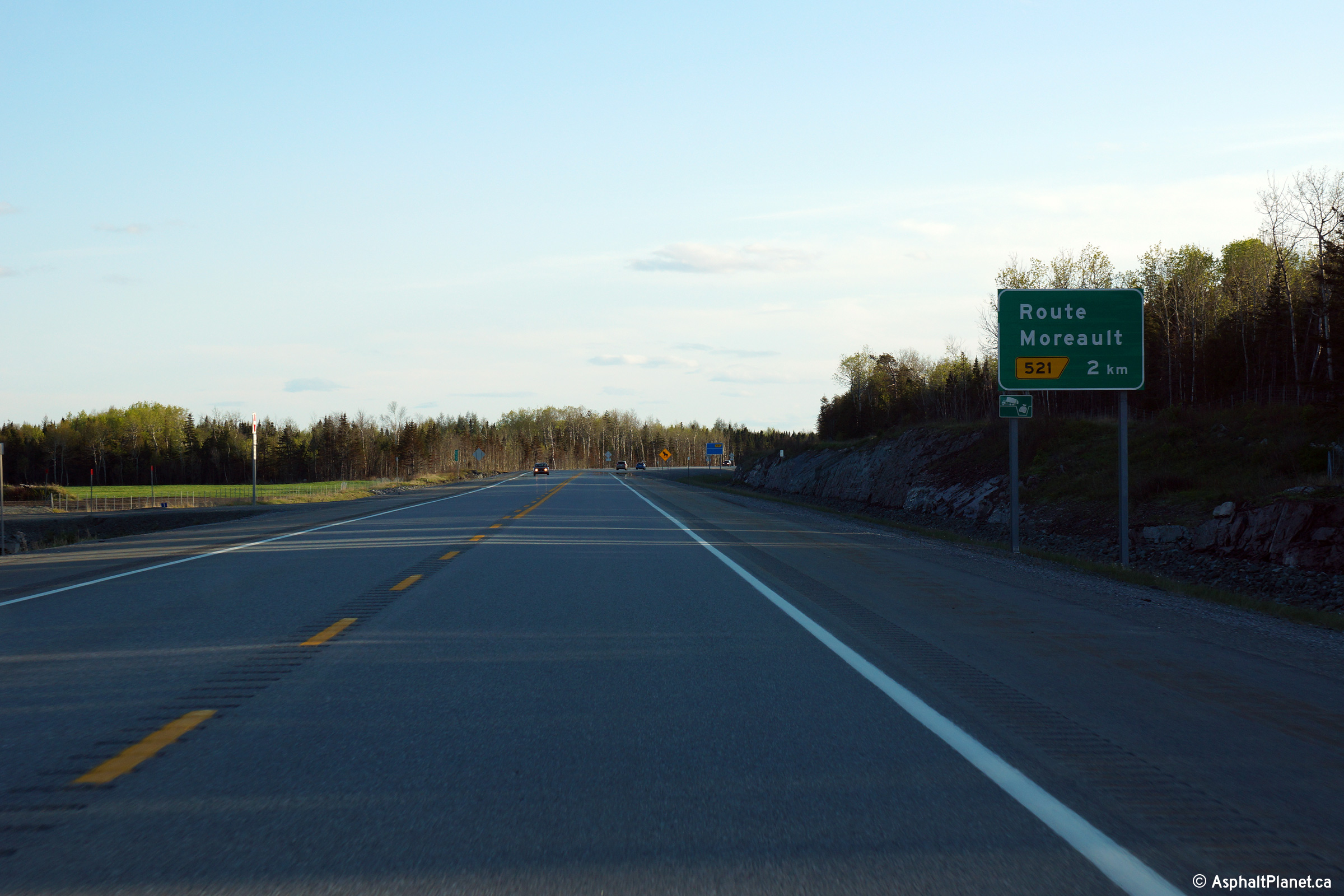
Eastbound signage at the off-ramp to Rue Moreault. |
 |
|
Photographed by: AsphaltPlanet.ca |
Date: 5/25/2015 |
High-res:
(1440x960)
(2400x1600) |
|
MRC de Rivière-du-Loup
Cacouna
|
This view looks westerly from the Rue Moreault overpass. |
 |
|
Photographed by: AsphaltPlanet.ca |
Date: 5/25/2015 |
High-res:
(1440x960)
(2400x1600) |
|
MRC de Rivière-du-Loup
Cacouna
|
Two views looking easterly from the Rue Moreault overpass. |
 |
|
High-res:
(1440x960)
(2400x1600) |
|
 |
|
Photographed by: AsphaltPlanet.ca |
Date: 5/25/2015 |
High-res:
(1440x960)
(2400x1600) |
|
MRC de Rivière-du-Loup
Cacouna
|
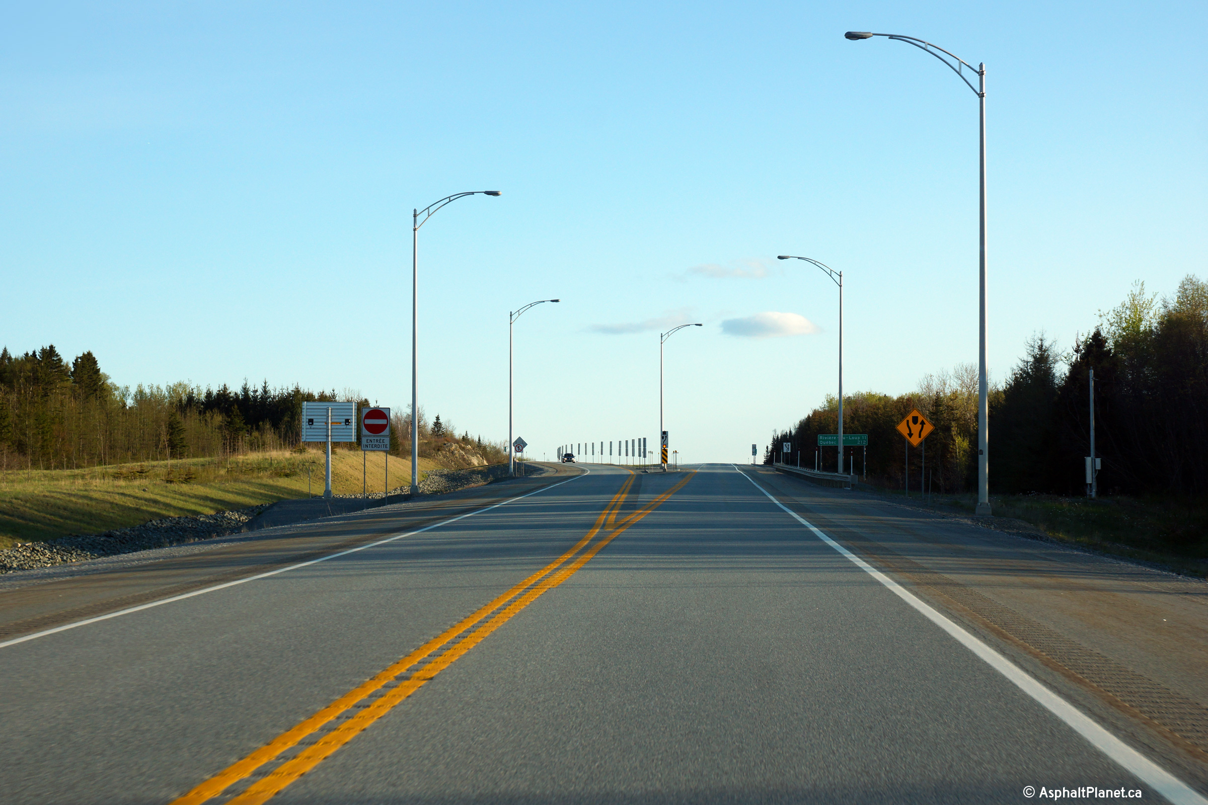
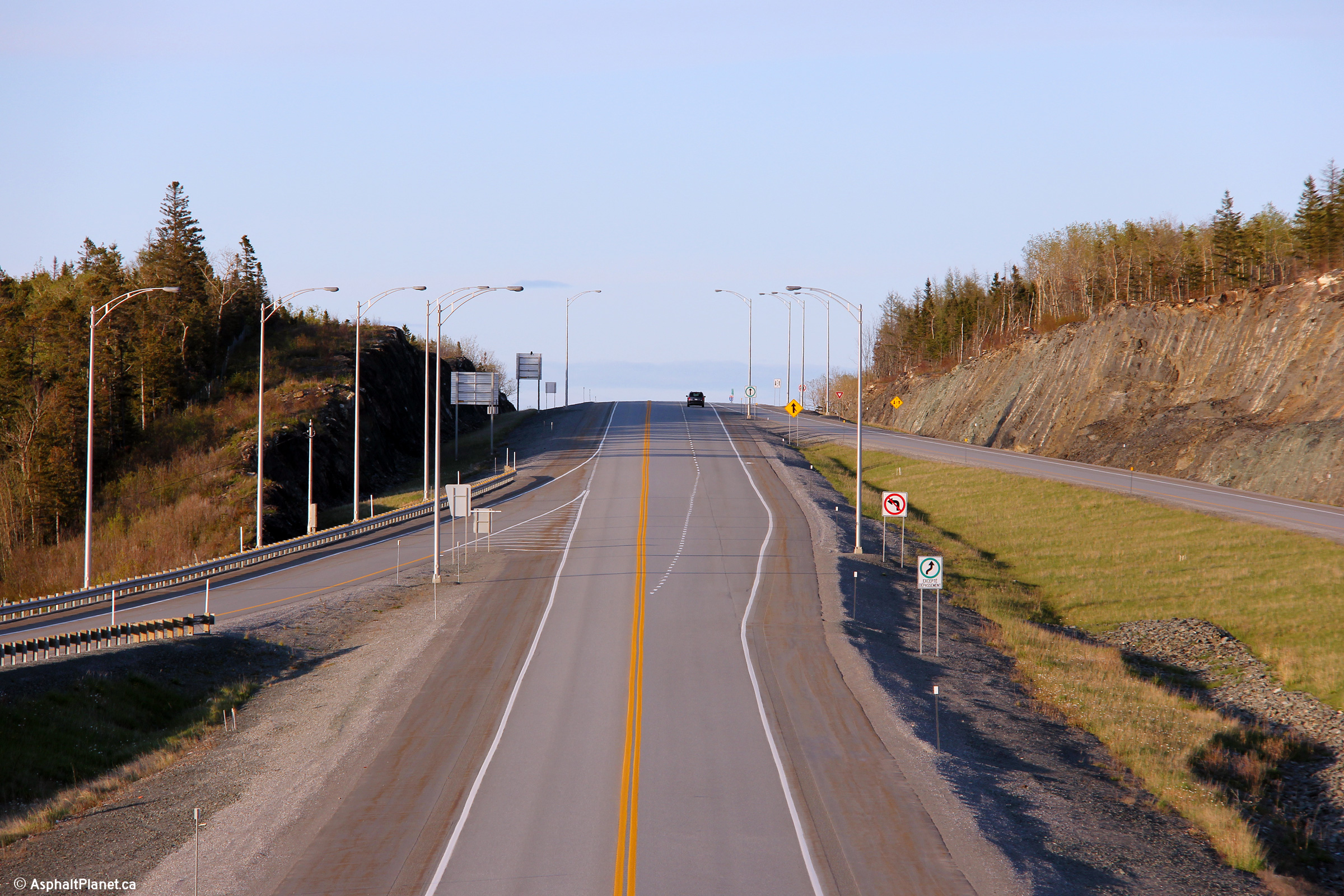
View looking westerly approaching he off-ramp to Rue Moreault. |
 |
|
Photographed by: AsphaltPlanet.ca |
Date: 5/25/2015 |
High-res:
(1440x960)
(2400x1600) |
|
MRC de Rivière-du-Loup
Cacouna
|
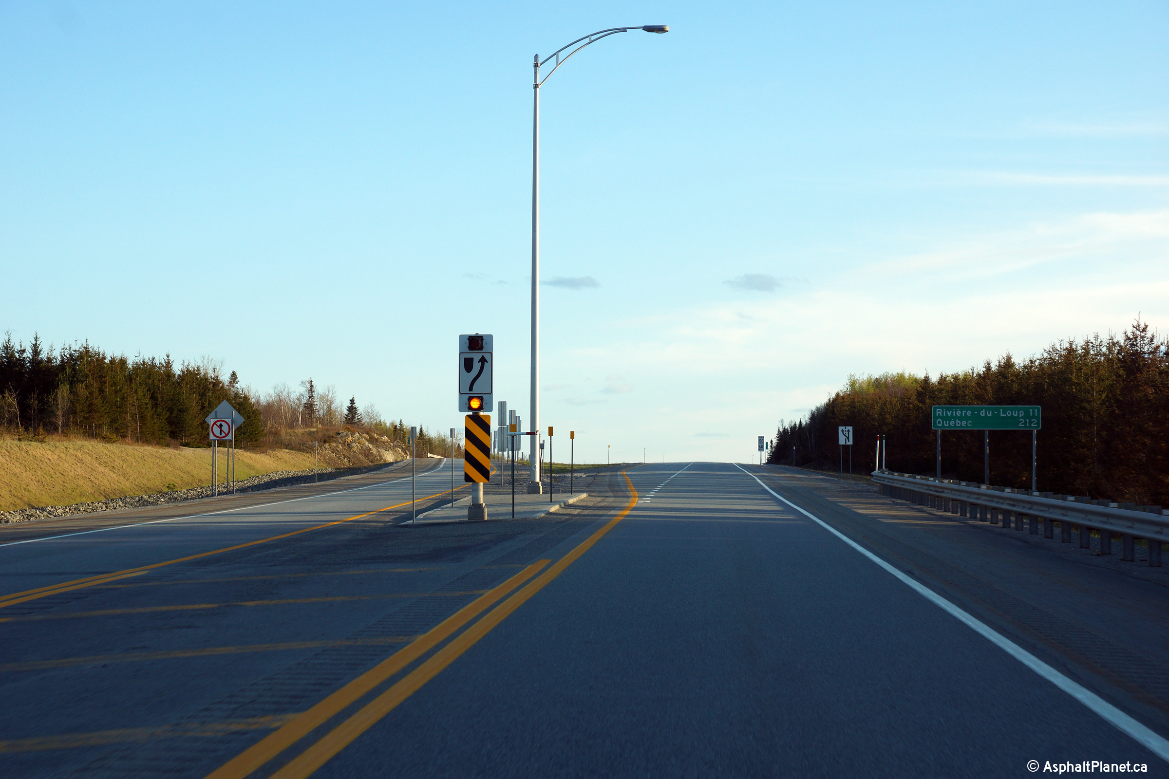
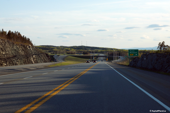
Eastbound advanced signage for the Rue Moreault interchange. |
 |
|
Photographed by: AsphaltPlanet.ca |
Date: 5/25/2015 |
High-res:
(1440x960)
(2400x1600) |
|
MRC de Rivière-du-Loup
L'Isle Verte
|
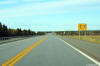
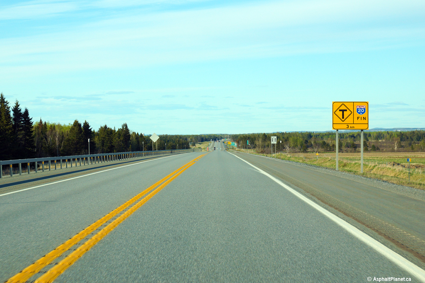
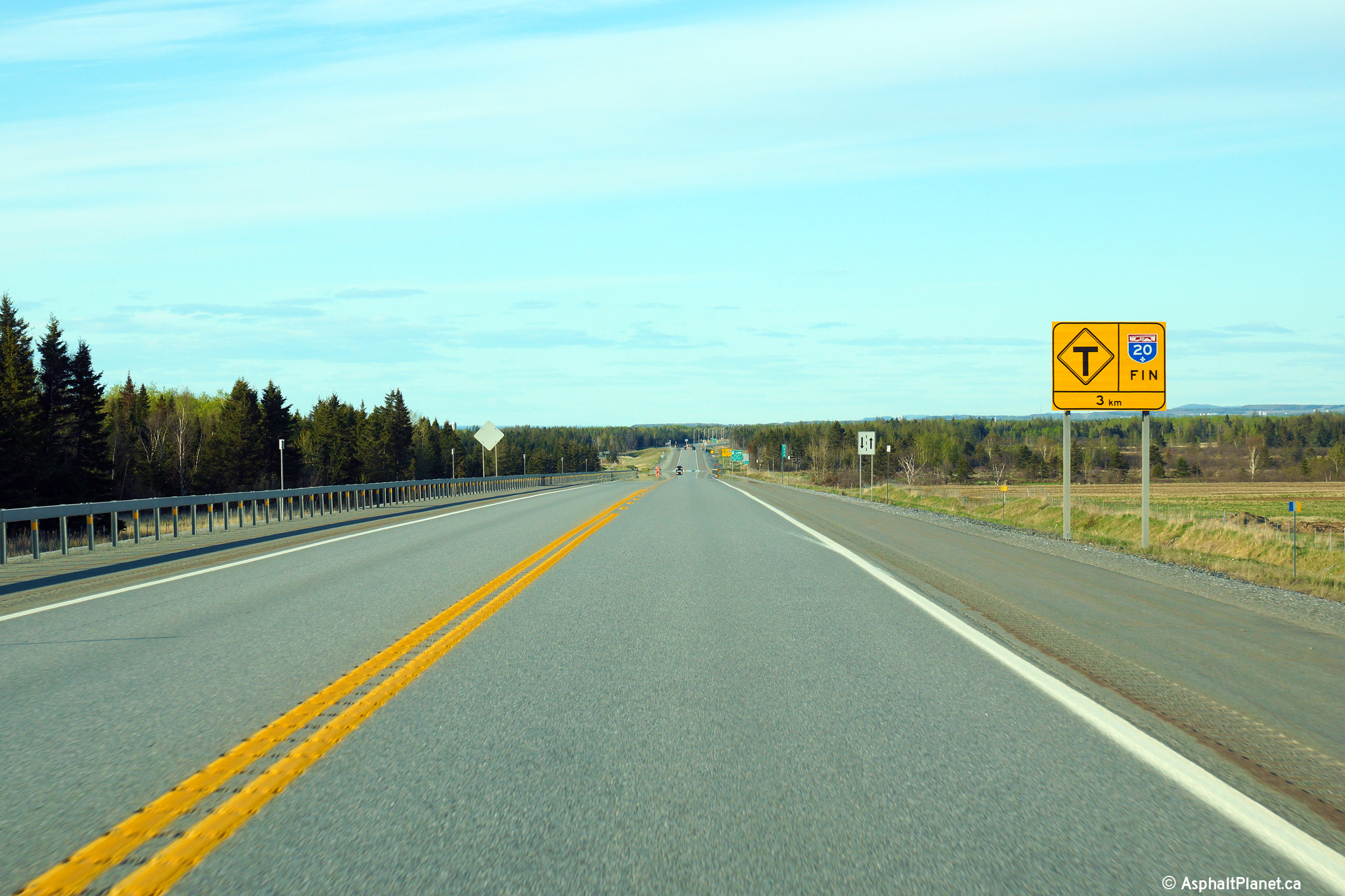
Eastbound signage notifying motorists of the impending eastern terminus
of Autoroute 20 at the Mtée-des-Couteaux |
 |
|
Photographed by: AsphaltPlanet.ca |
Date: 5/25/2015 |
High-res:
(1440x960)
(2400x1600) |
|
MRC de Rivière-du-Loup
L'Isle Verte
|
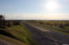
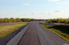
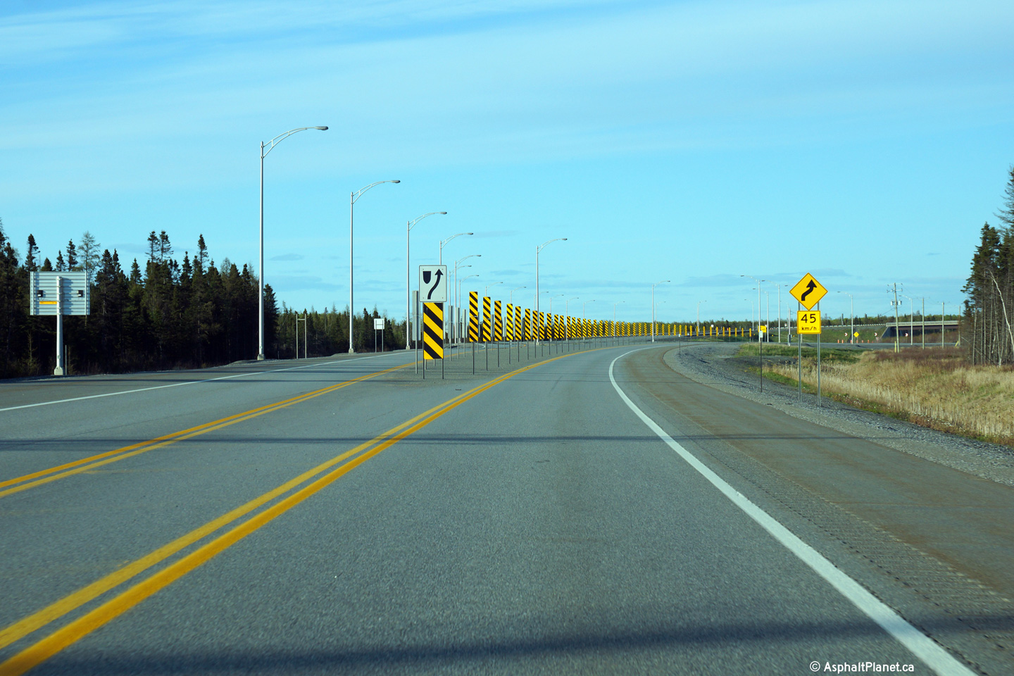
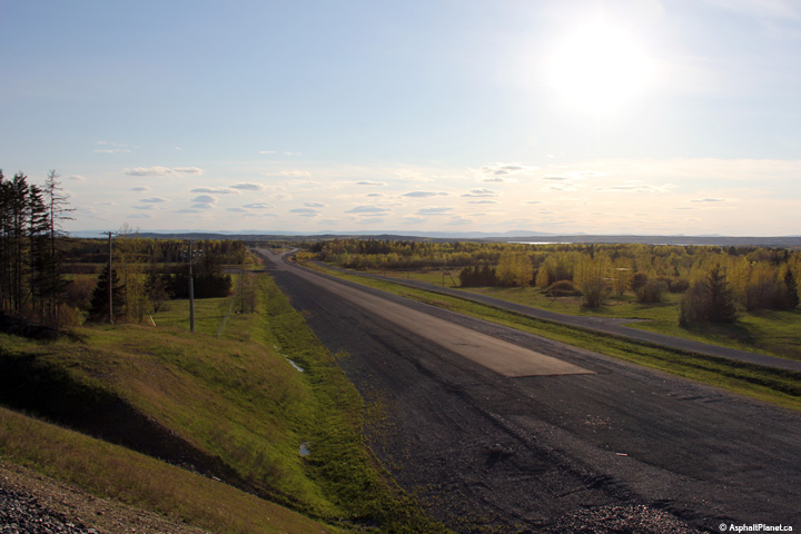
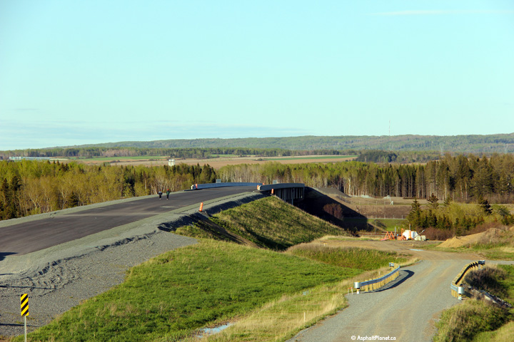
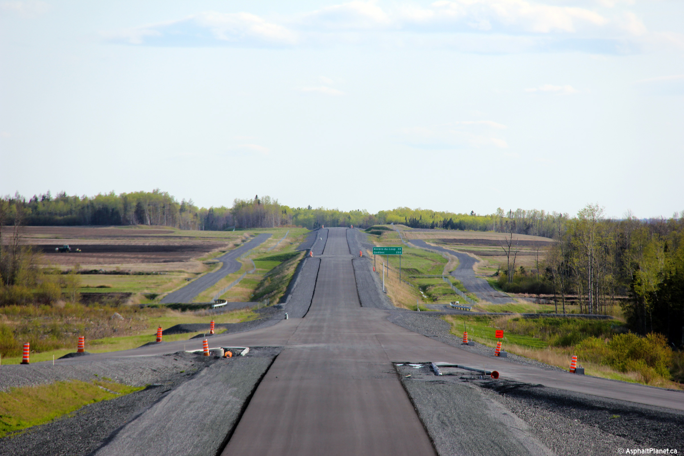
View looking easterly at the current eastern terminus of Autoroute 20.
An extension of Autoroute 20 will be opened to traffic in the autumn of
2015. |
 |
|
Photographed by: AsphaltPlanet.ca |
Date: 5/25/2015 |
High-res:
(1440x960)
(2400x1600) |
|
MRC de Rivière-du-Loup
L'Isle Verte
|
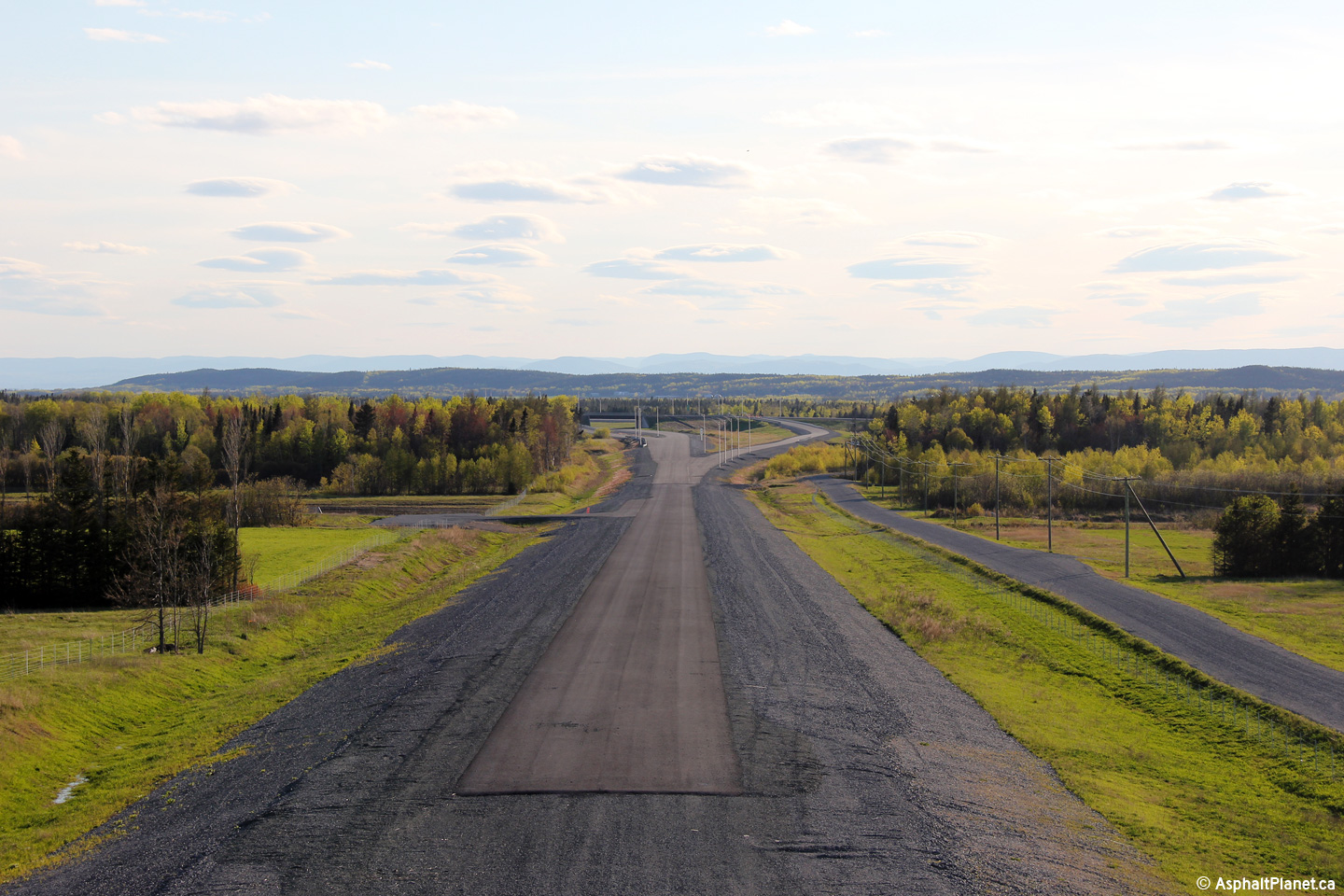
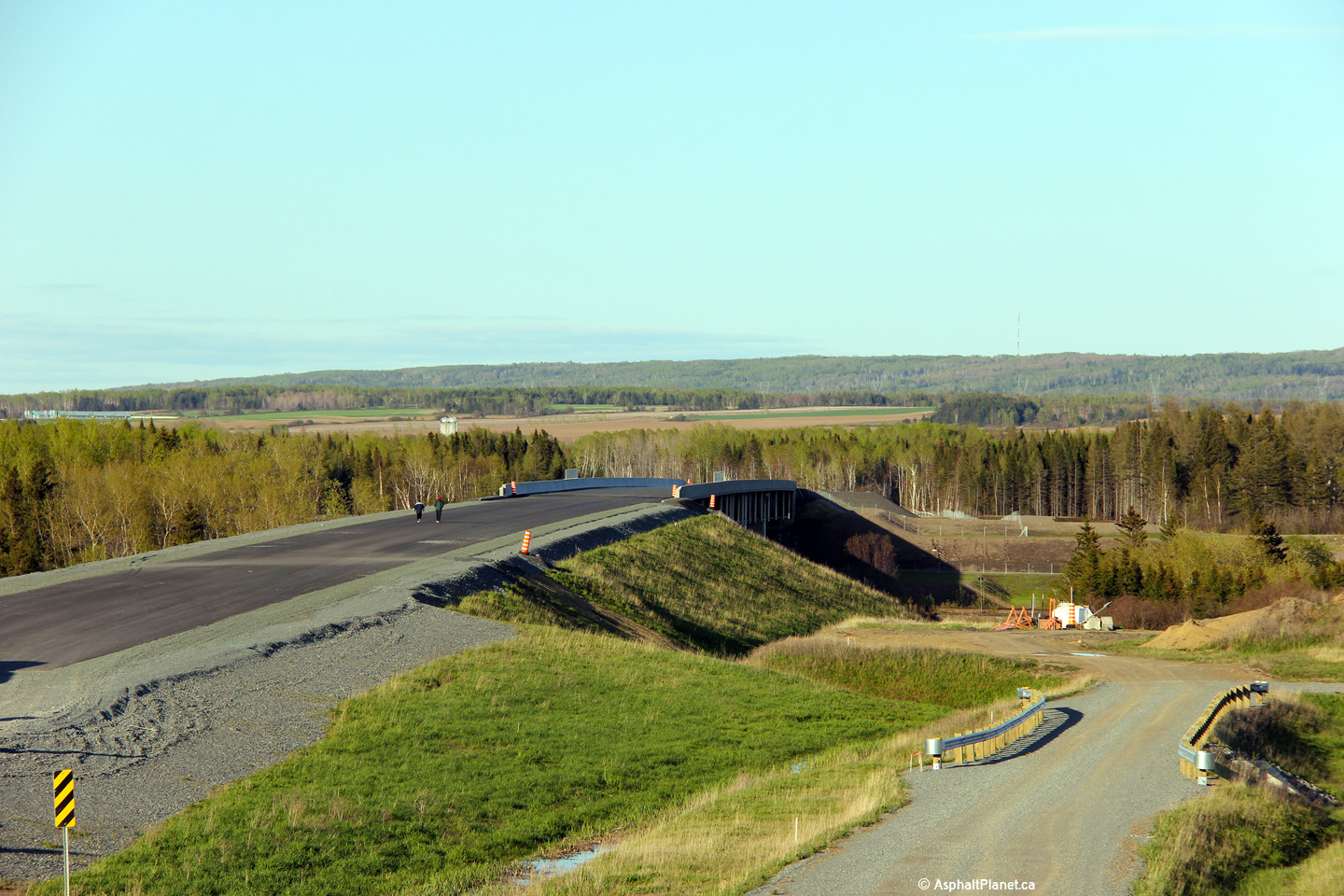
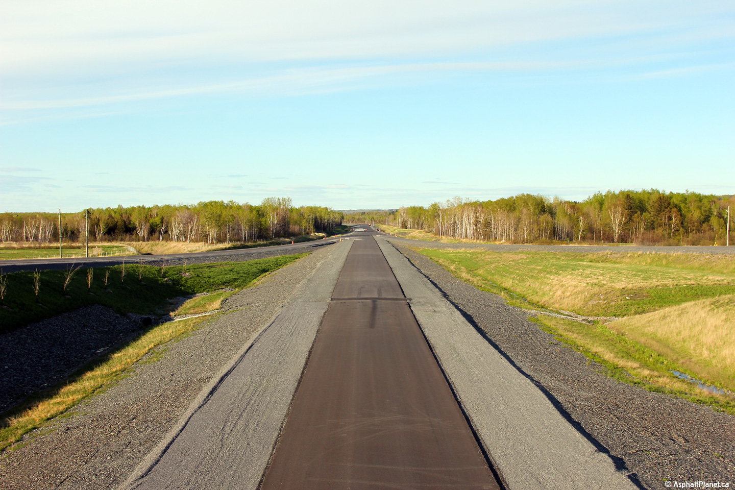
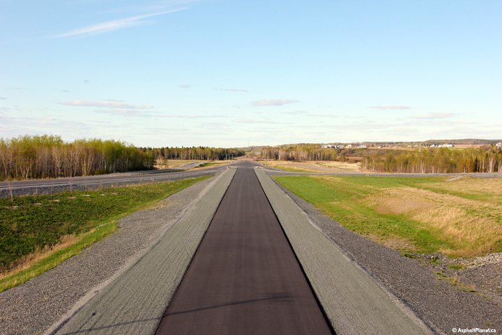
View looking westerly from the Mtée-des-Couteaux overpass. From
2011 until the fall of 2015, Autoroute 20 ended at this diamond
interchange. This page was written shortly before Autoroute 20 was
extended easterly to Trois-Rivières. |
 |
|
Photographed by: AsphaltPlanet.ca |
Date: 5/25/2015 |
High-res:
(1440x960)
(2400x1600) |
|
MRC de Rivière-du-Loup
L'Isle Verte
|
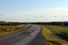
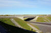
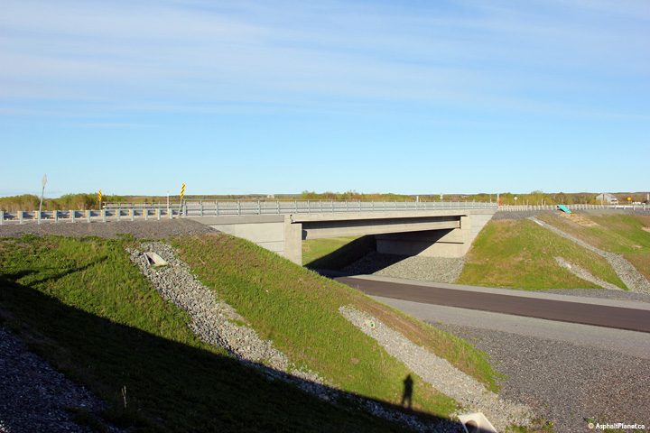
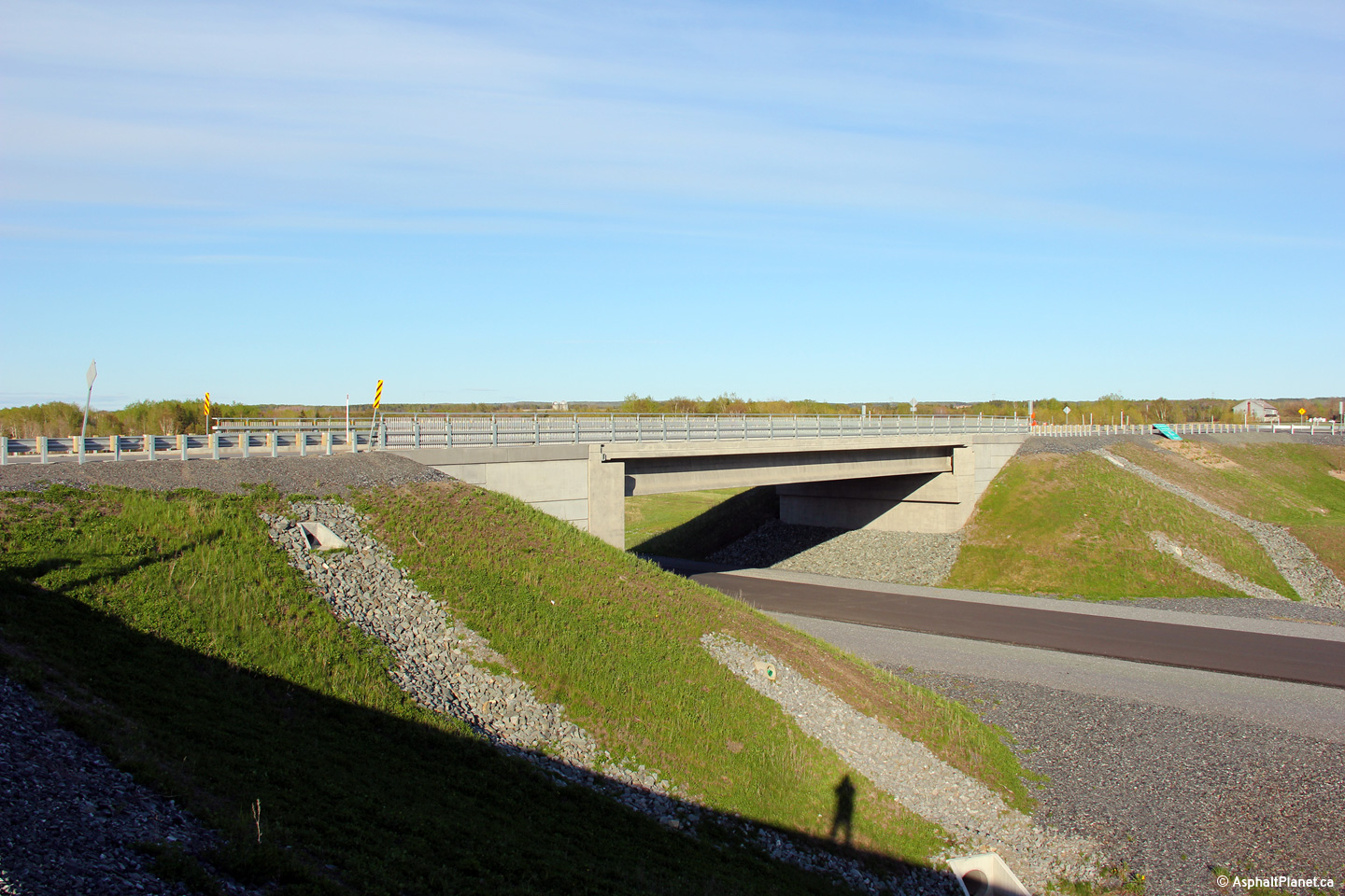
Easterly view from the Route du Coteau des Érables overpass. |
 |
|
Photographed by: AsphaltPlanet.ca |
Date: 5/25/2015 |
High-res:
(1440x960)
(2400x1600) |
|
MRC de Rivière-du-Loup
L'Isle Verte
|
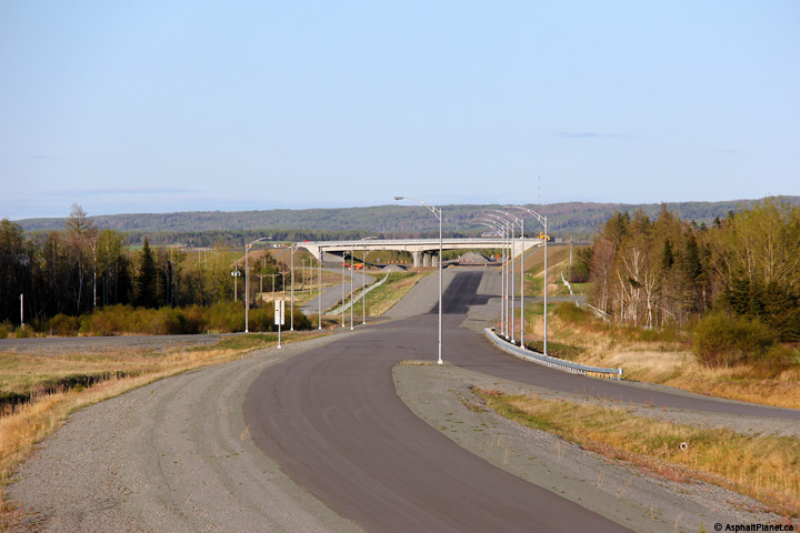
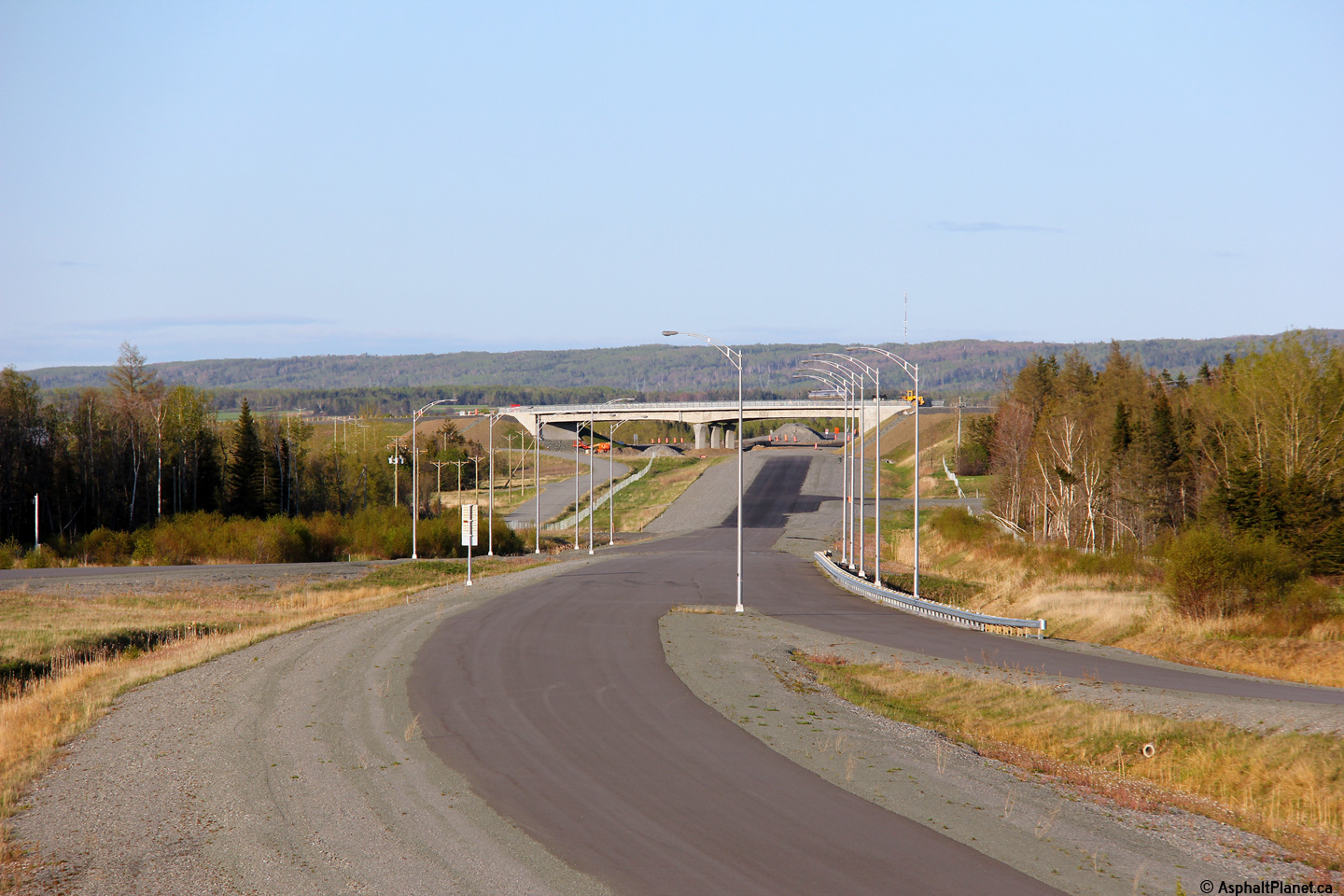
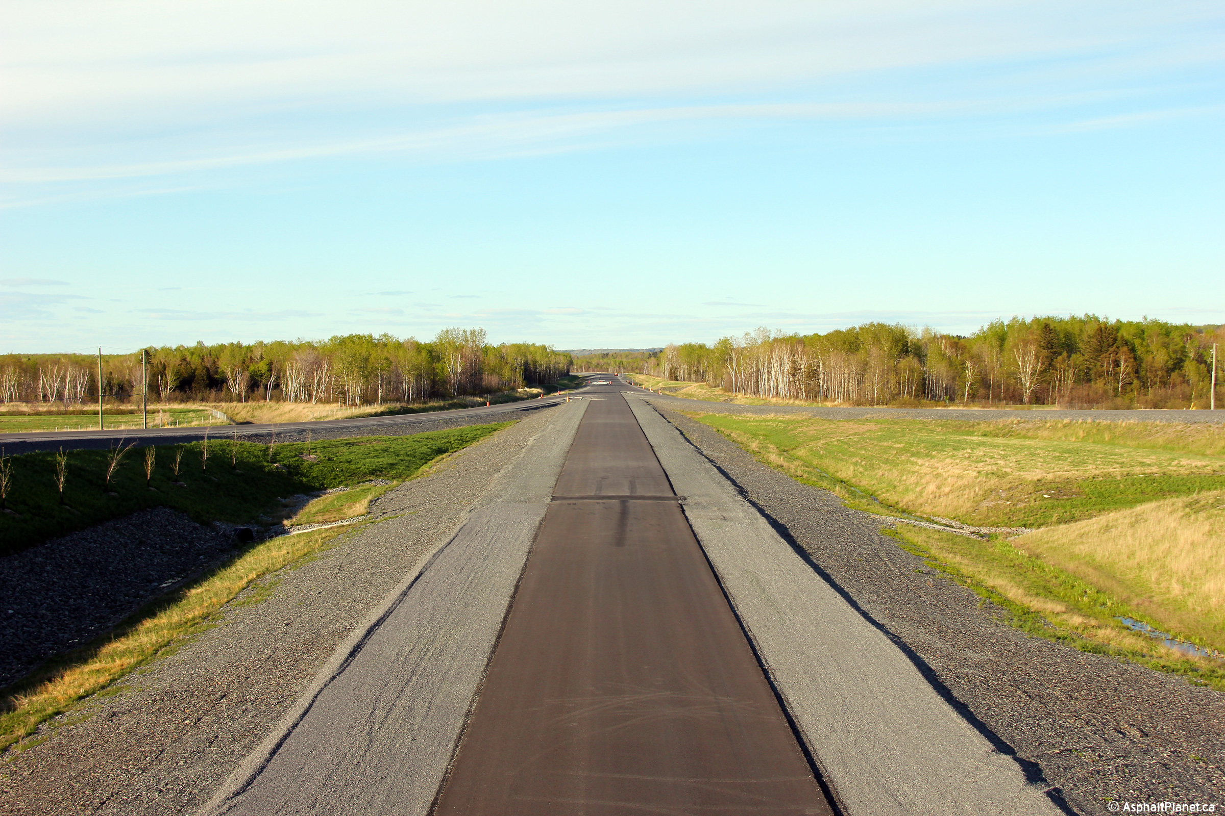
View looking westerly from the Chemin du Coteau du Tuf overpass towards
the Route du Coteaux interchange. These photos were taken just as
the late afternoon sun began to cast long shadows from the mountains in
the distance. |
 |
|
High-res:
(1440x960)
(2400x1600) |
|
 |
|
High-res:
(1440x960)
(2400x1600) |
 |
|
Photographed by: AsphaltPlanet.ca |
Date: 5/25/2015 |
High-res:
(1440x960)
(2400x1600) |
|
MRC de Rivière-du-Loup
L'Isle Verte
|
Easterly view from the Chemin du Coteau du Tuf. |
 |
|
Photographed by: AsphaltPlanet.ca |
Date: 5/25/2015 |
High-res:
(1440x960)
(2400x1600) |
|
MRC de Rivière-du-Loup
L'Isle Verte
|
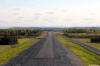
This view looks easterly towards the Route de St-Paul overpass. |
 |
|
Photographed by: AsphaltPlanet.ca |
Date: 5/25/2015 |
High-res:
(1440x960)
(2400x1600) |
|
MRC de Rivière-du-Loup
L'Isle Verte
|
This view looks westerly from the Route de St-Paul overpass. |
 |
|
Photographed by: AsphaltPlanet.ca |
Date: 5/25/2015 |
High-res:
(1440x960)
(2400x1600) |
|
MRC de Rivière-du-Loup
L'Isle Verte
|
Easterly view from the Route de St-Paul overpass. |
 |
|
Photographed by: AsphaltPlanet.ca |
Date: 5/25/2015 |
High-res:
(1440x960)
(2400x1600) |
|
MRC de Rivière-du-Loup
L'Isle Verte
|
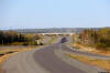
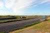
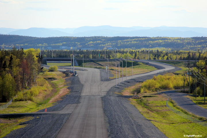
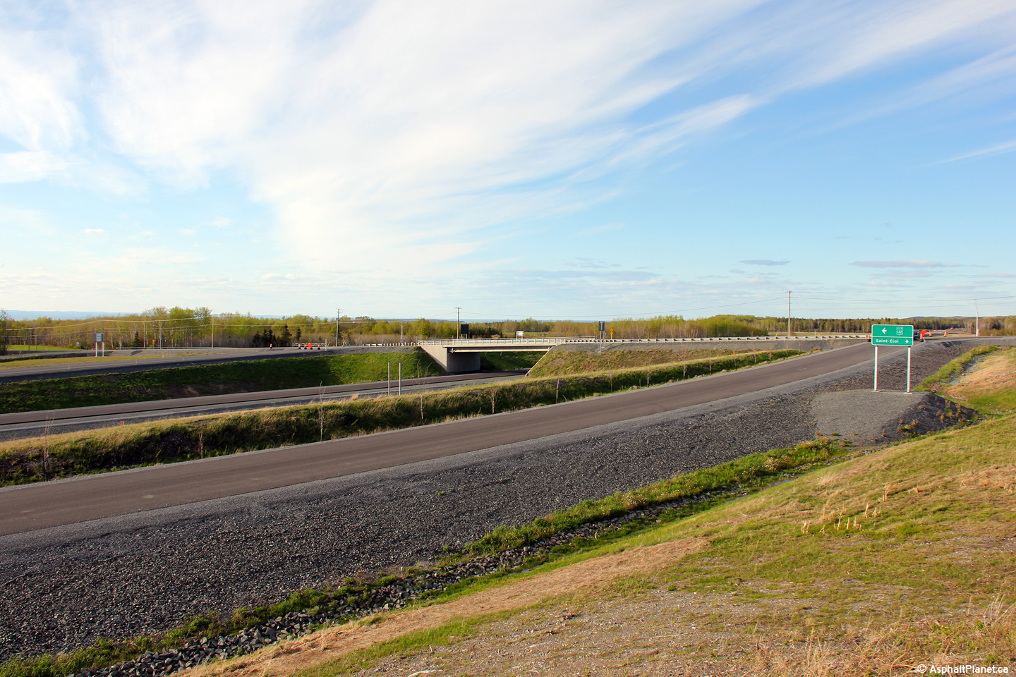
View looking easterly at the Route de la Station interchange. |
 |
|
Photographed by: AsphaltPlanet.ca |
Date: 5/25/2015 |
High-res:
(1440x960)
(2400x1600) |
|
MRC de Rivière-du-Loup
L'Isle Verte
|
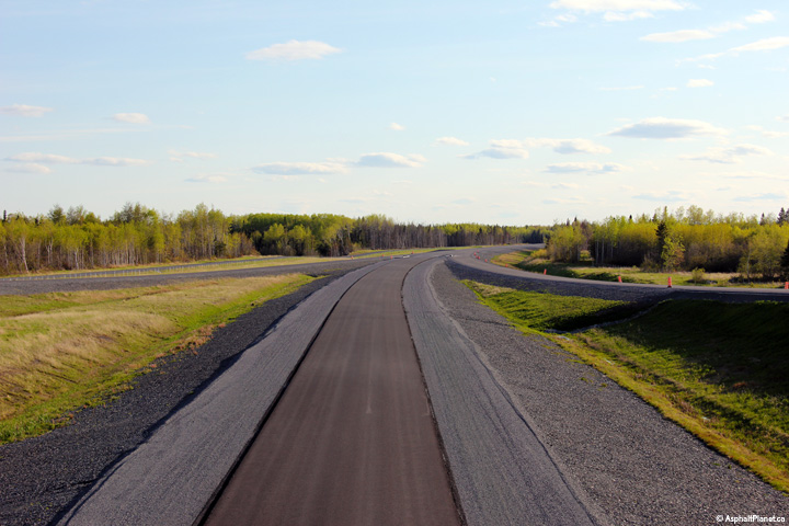
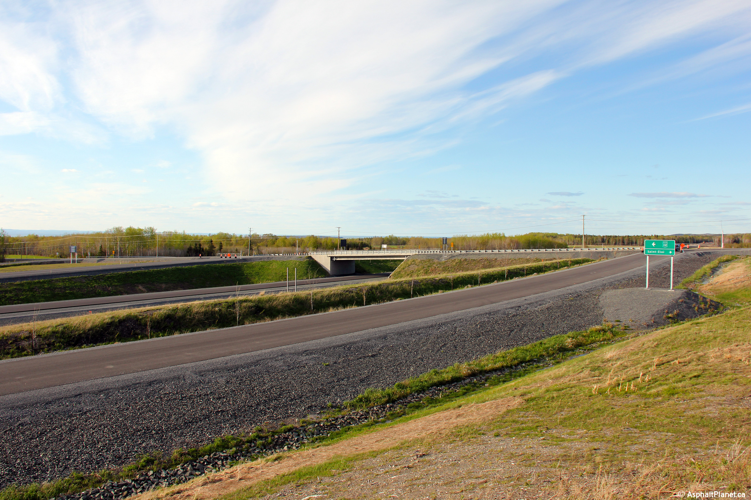
This view looks westerly along the unopened alignment of Autoroute 20
from the Route de la Station overpass. |
 |
|
Photographed by: AsphaltPlanet.ca |
Date: 5/25/2015 |
High-res:
(1440x960)
(2400x1600) |
|
MRC de Rivière-du-Loup
L'Isle Verte
|
Easterly view from the Route de la Station overpass. |
 |
|
Photographed by: AsphaltPlanet.ca |
Date: 5/25/2015 |
High-res:
(1440x960)
(2400x1600) |


