AsphaltPlanet.ca > Quebec > Autoroute 610
|
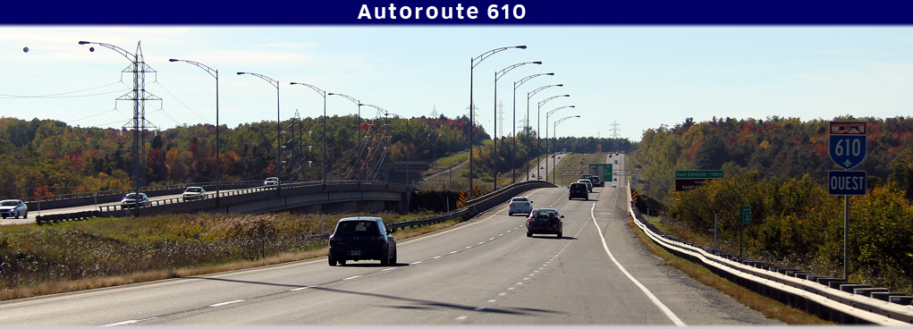
Western Terminus: A-10/55 interchange north of Sherbrooke. Eastern Terminus: R-112 roundabout near Ascot Corner. Routing: A-610 is a short highway that runs easterly from the A-10/55 interchange north of Sherbrooke for a distance of approximately 10 km. A-610 was formerly part of Autoroute 10's alignment but was redesignated A-610 in 2006 in an effort to simplify the area's highway numbering scheme |
Pictures on this page are arranged in order from west to east. A-610 East photos are left-aligned in the last column, while A-610 west photos are right-aligned. Center-line pictures are centered within the last column.
|
Location |
Description |
Photo |
||
|
East- |
West- |
|||
|
From the western terminus of Autoroute 610, both A-10 and A-55 are accessible. Click here for A-10 images and here for A-55 images. |
||||
|
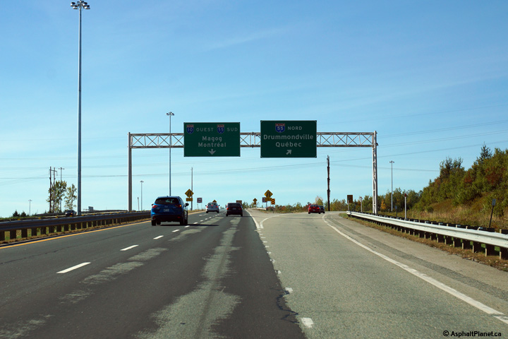
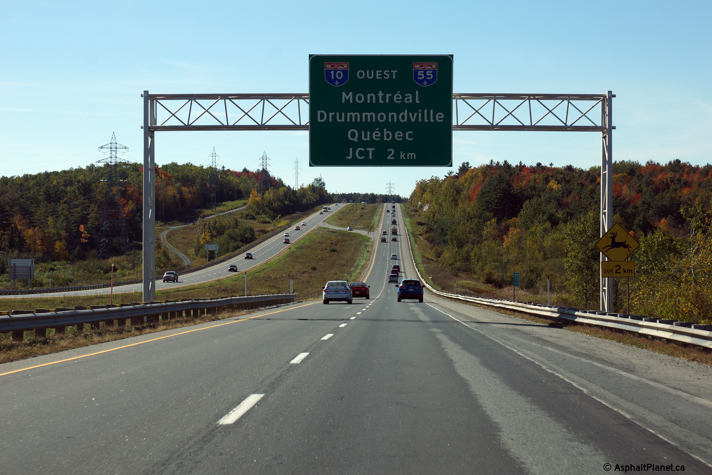
Sherbrooke |
Overhead signage at the Autoroute 10/55 interchange north of Sherbrooke. Autoroute 10 begins at this interchange continuing westerly to Montreal. When originally constructed, A-610 was part of A-10, but was redesignated Autoroute 610 in 2006 in an effort to improve the area's highway numbering scheme. |
 |
||
|
Date: 10/03/2014 |
High-res: (1440x960) (2400x1600) | |||
|
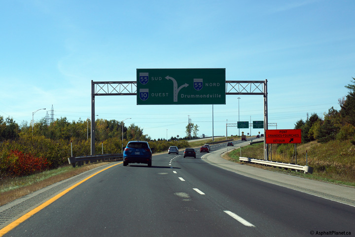
Sherbrooke |
Diagram signage approaching the Autoroute 10/55 interchange. |
 |
||
|
Date: 10/03/2014 |
High-res: (1440x960) (2400x1600) | |||
|
Sherbrooke |
Advanced signage for the upcoming Autoroute 10/55 interchange. |
 |
||
|
Date: 10/03/2014 |
High-res: (1440x960) (2400x1600) | |||
|
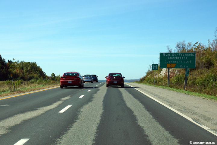
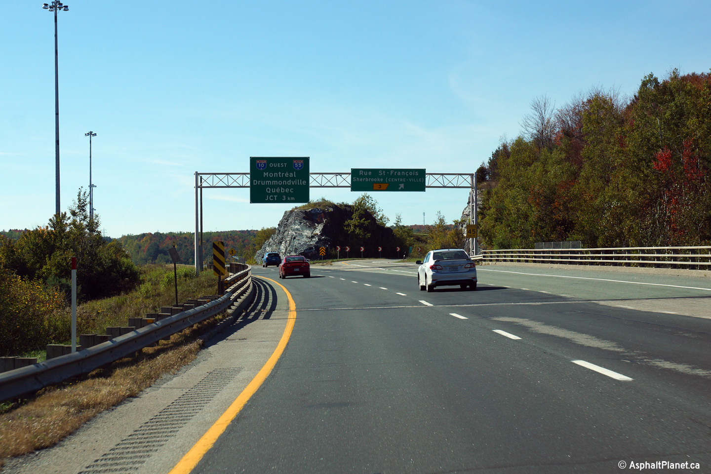
Sherbrooke |
Westbound off-ramp to Rue St-François. Rue St-François is the principal road in Downtown Sherbrooke and runs along the eastern bank of the St-François River. |
 |
||
|
Date: 10/03/2014 |
High-res: (1440x960) (2400x1600) | |||
|
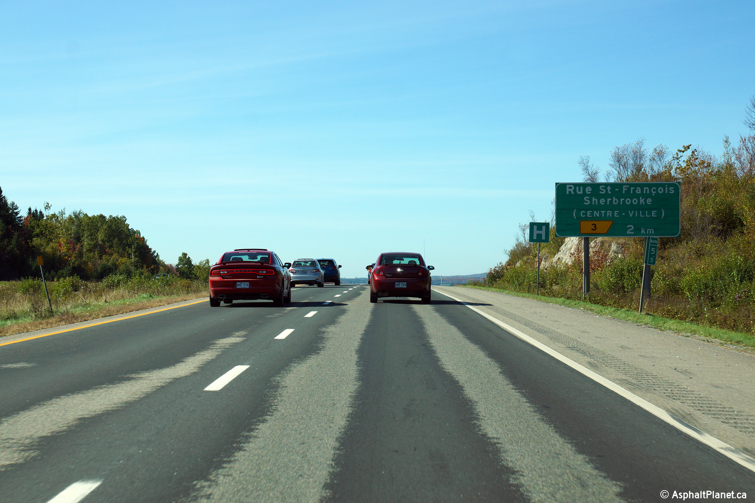
Sherbrooke |
Advanced signage for the rue St. François interchange. |
 |
||
|
Date: 10/03/2014 |
High-res: (1440x960) (2400x1600) | |||
|
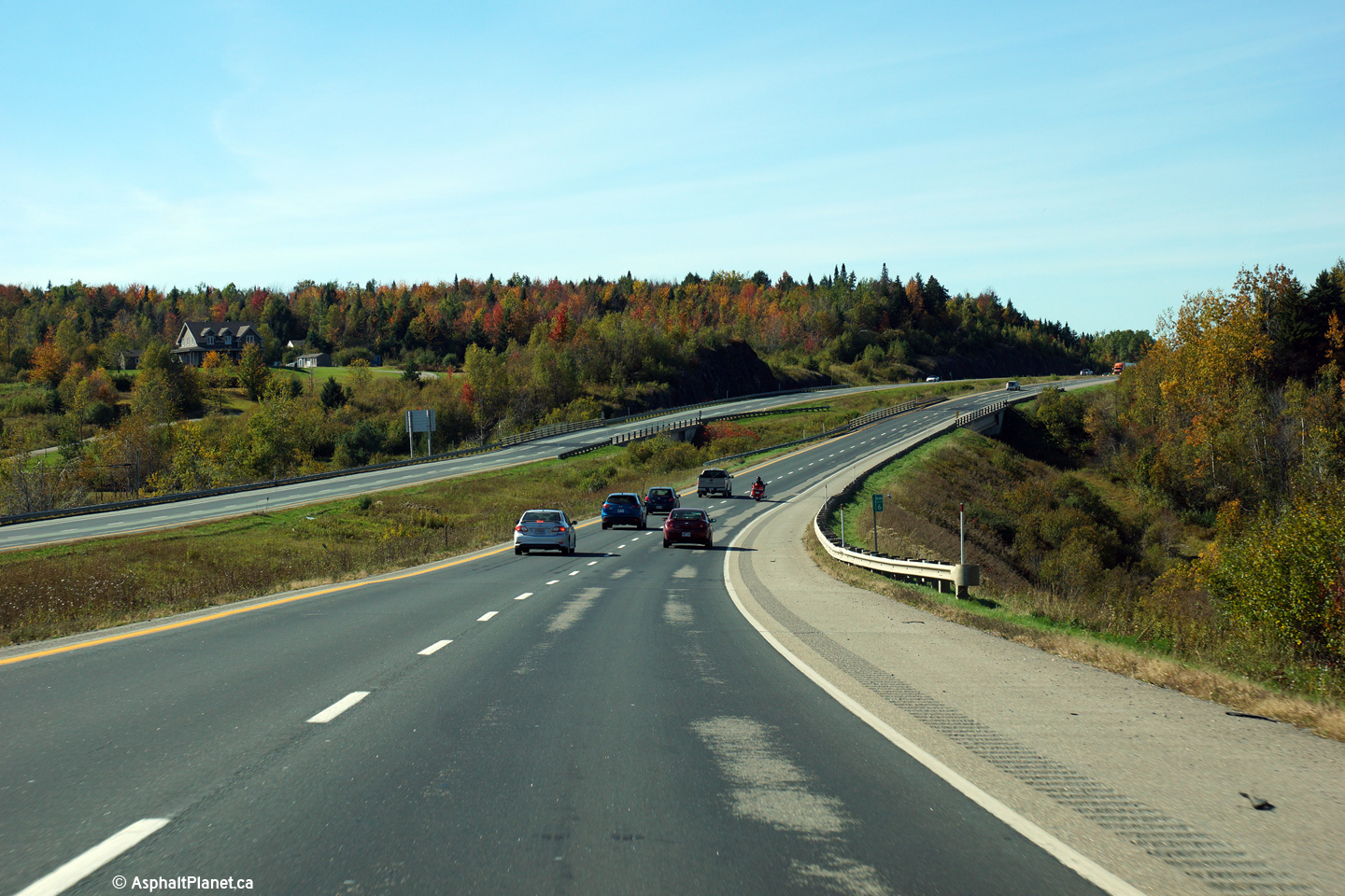
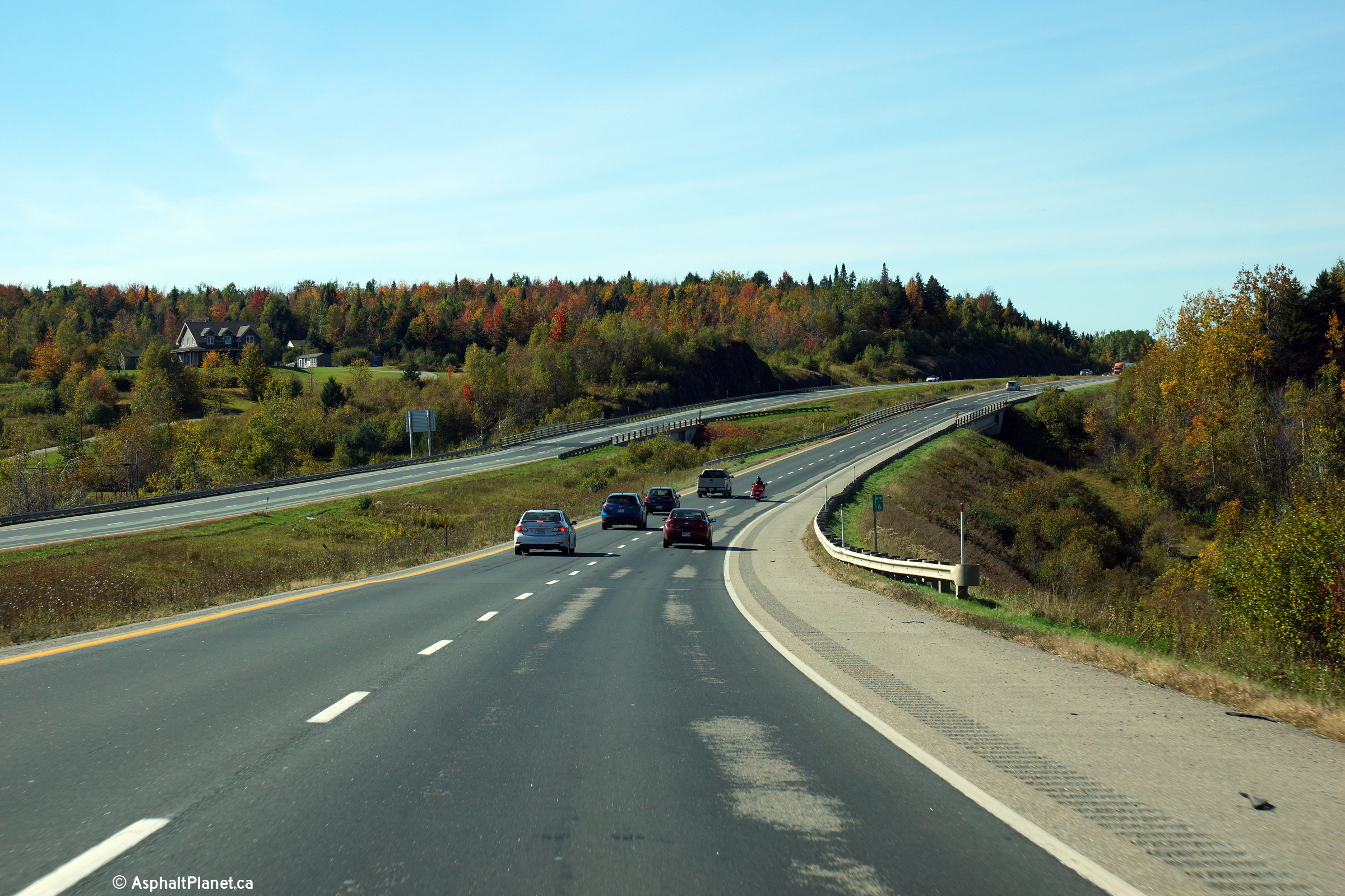
Sherbrooke |
Rural view of Autoroute 6-10 looking westerly in the vicinity of the chemin des Pèlerons underpass. |
 |
||
|
Date: 10/03/2014 |
High-res: (1440x960) (2400x1600) | |||
|
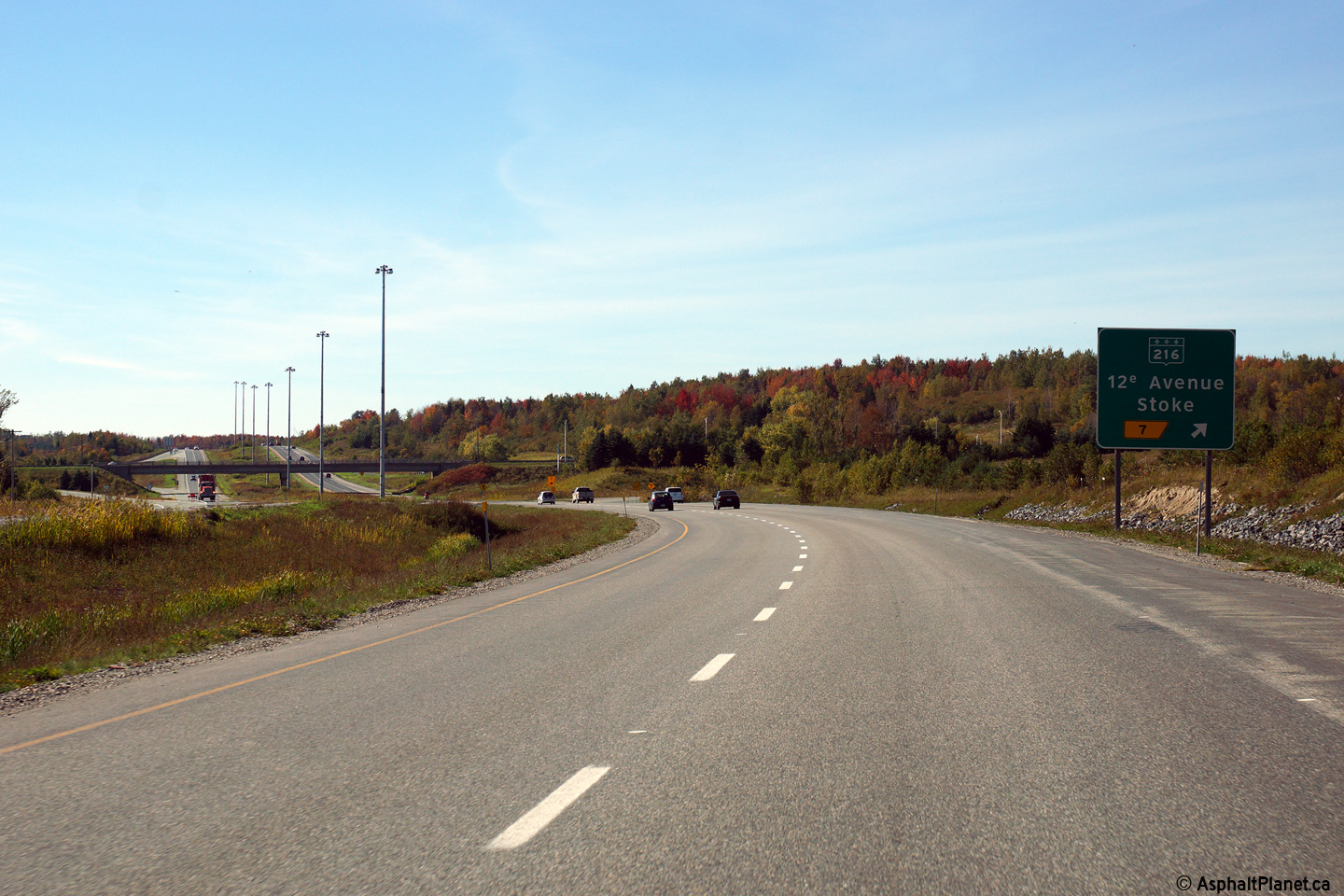
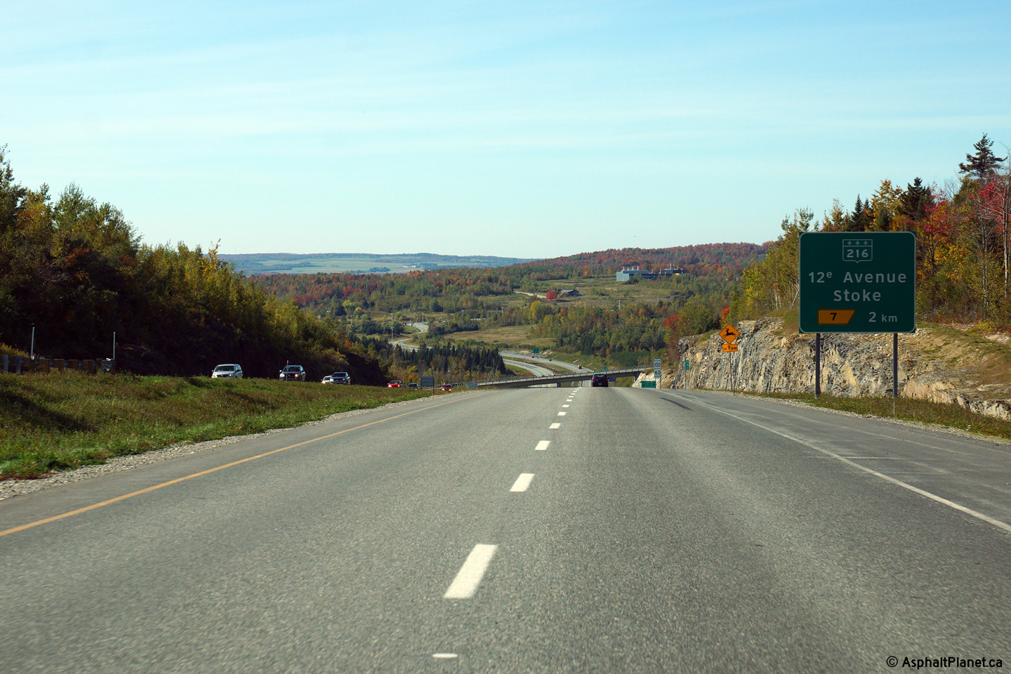
Sherbrooke |
Westbound signage approaching the off-ramp to Highway 216. |
 |
||
|
Date: 10/03/2014 |
High-res: (1440x960) (2400x1600) | |||
|
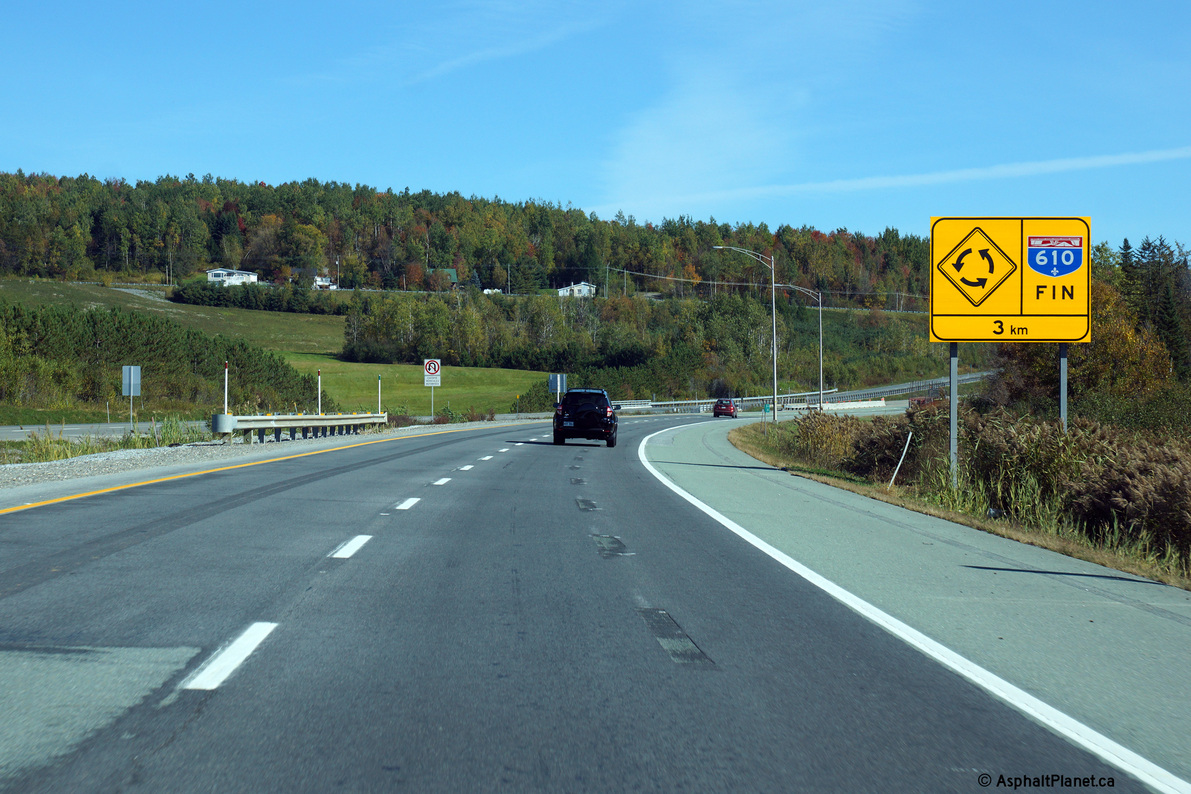
Sherbrooke |
Eastbound signage just beyond the Highway 216 interchange denoting the eastern terminus of Autoroute 610 3 km ahead. Until the early 2010s, Autoroute 610 narrowed to a single carriageway highway east of the Highway 216 interchange. When this photo was taken in 2014, the pavement was still scarred from the former three (two eastbound, one westbound) lane configuration. |
 |
||
|
Date: 10/03/2014 |
High-res: (1440x960) (2400x1600) | |||
|
Sherbrooke |
View looking westbound as Autoroute 610 descends a long hill towards the Highway 216 interchange. |
 |
||
|
Date: 10/03/2014 |
High-res: (1440x960) (2400x1600) | |||
|
Sherbrooke |
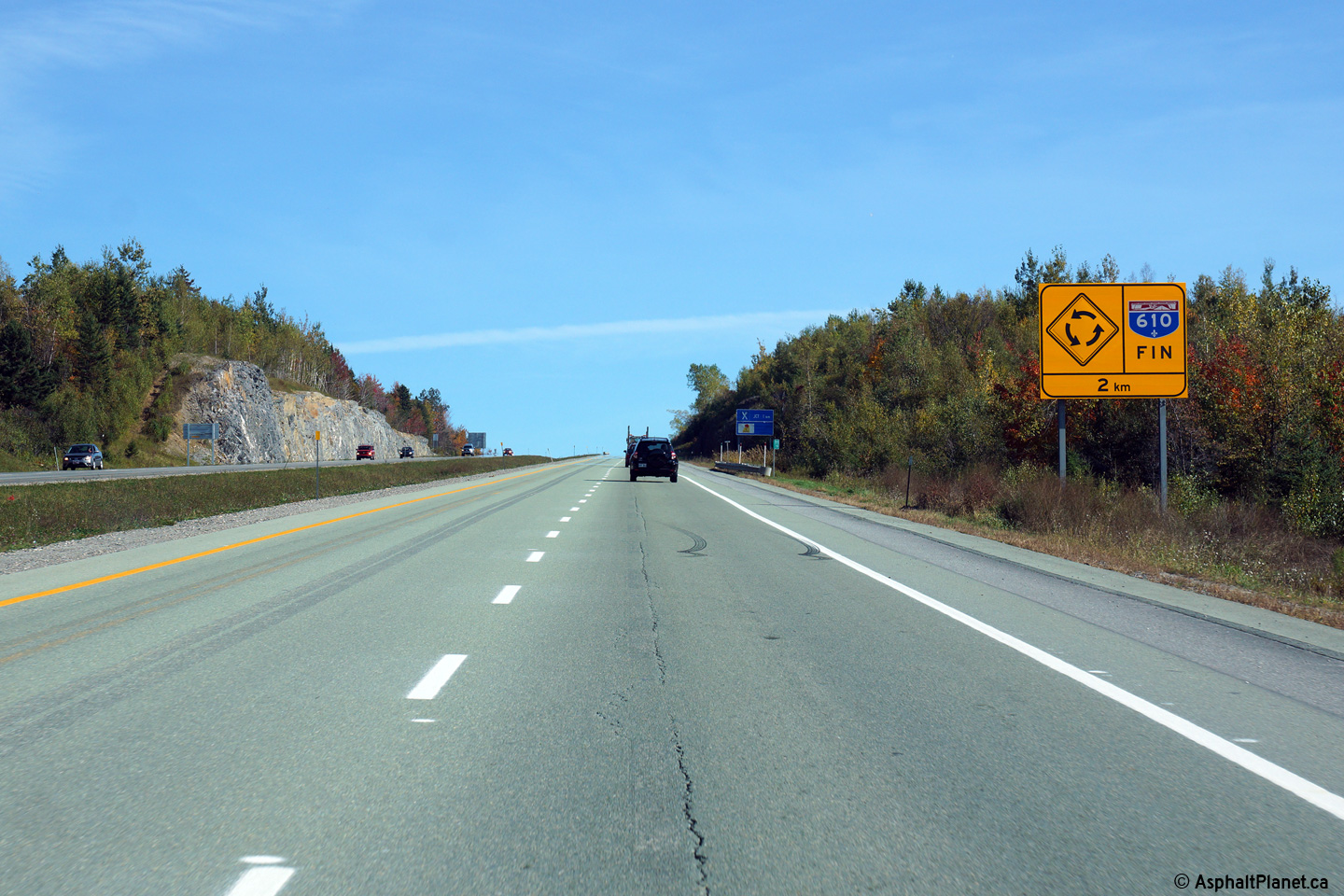
Advanced signage denoting the eastern terminus of Autoroute 610. |
 |
||
|
Date: 10/03/2014 |
High-res: (1440x960) (2400x1600) | |||
|
Sherbrooke |
Easterly view approaching the roundabout intersection with Route 112. The right lane carries traffic back to the west into Downtown Sherbrooke, while the left lane enters the roundabout and carries traffic to eastern points along Route 112. |
 |
||
|
Date: 10/03/2014 |
High-res: (1440x960) (2400x1600) | |||
|
A-610 ends at a roundabout with Route 112 east of Sherbrooke. Click here for R-112 images. (Coming Soon!) |
||||
<- A-573
PQ Highways
A-640 ->
Asphaltplanet.ca
© 2010 AsphaltPlanet.ca.
AsphaltPlanet@asphaltplanet.ca
Page Created: November 5, 2014.
Last Updated: November 5, 2014.