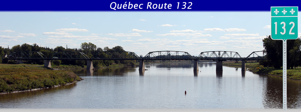
AsphaltPlanet.ca > Quebec > Route 132
|
Western Terminus: U.S.A. Border at Water Street at Dundee. Eastern Terminus: Junction Route 132 (Route 132 loops around the Gaspé Peninsula and terminates with itself) at Saint-Flavie. Length: 1,610.4km Links: |
Pictures on this page are arranged in order from east to west. R-132 East photos are left-aligned in the last column, while R-132 West photos are right-aligned. Center-line pictures are centered within the last column.
|
Location |
Description |
Photo |
||
|
East- |
West- |
|||
|
Autoroute 30 ends at a connector road to Route 132. Click here for A-30 images. |
||||
|
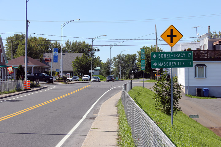
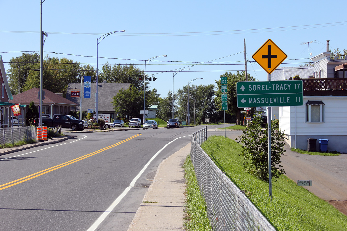
MRC Pierre-de-Saurel Yamaska |
Easterly view at the Highway 235 junction in Yamaska.
Vue en direction est à la jonction de la route 235 en Yamaska |
|
||
|
Date: 9/18/2011 |
High-res: (1440x960) (2400x1600) |
|||
|
MRC Pierre-de-Saurel Yamaska |
Westerly view of the Highway 235 junction.
Vue en direction ouest de la jonction de la route 235. |
 |
||
|
Date: 9/18/2011 |
High-res: (1440x960) (2400x1600) |
|||
|
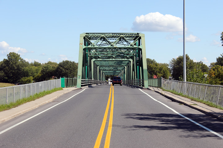
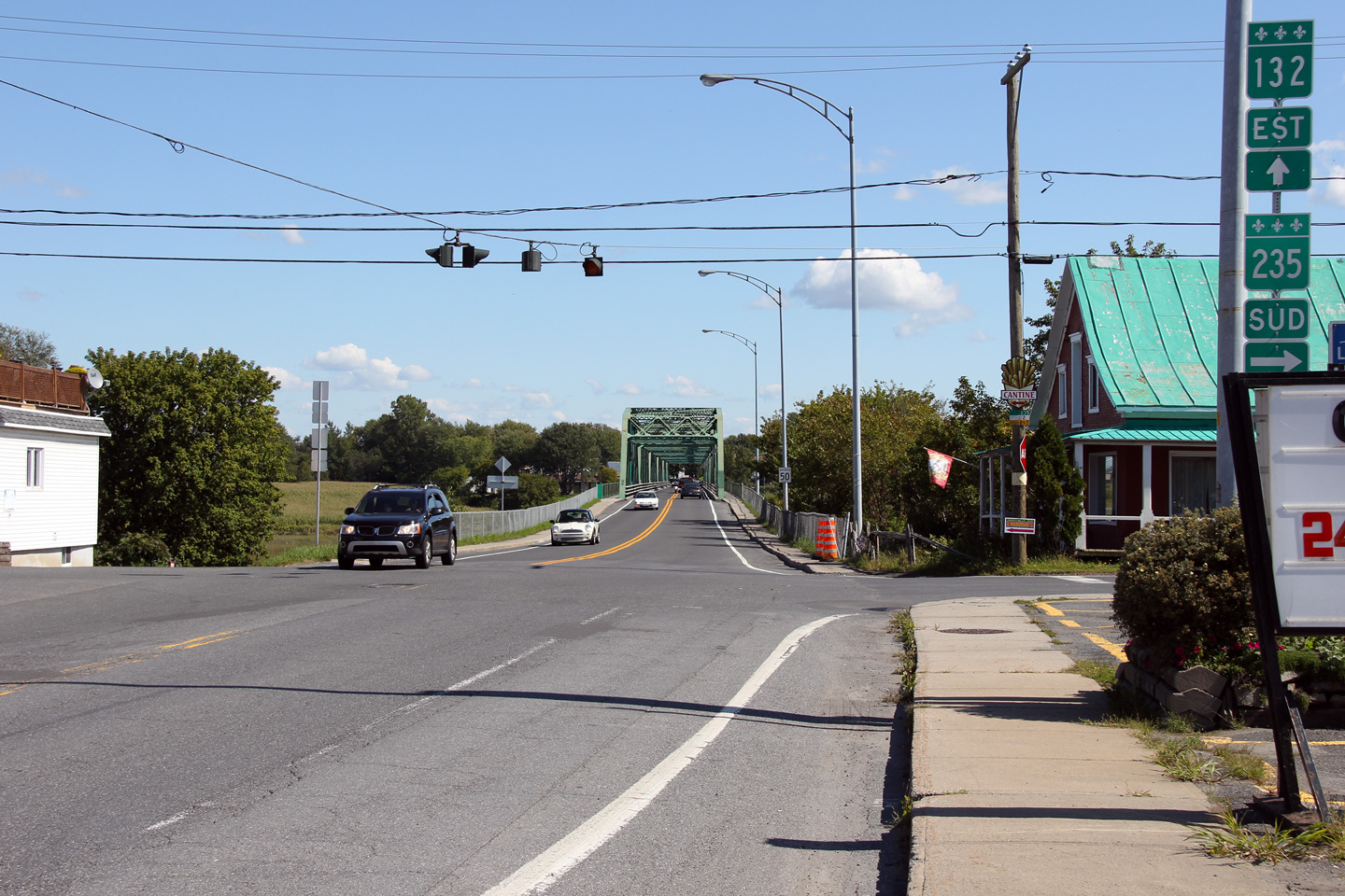
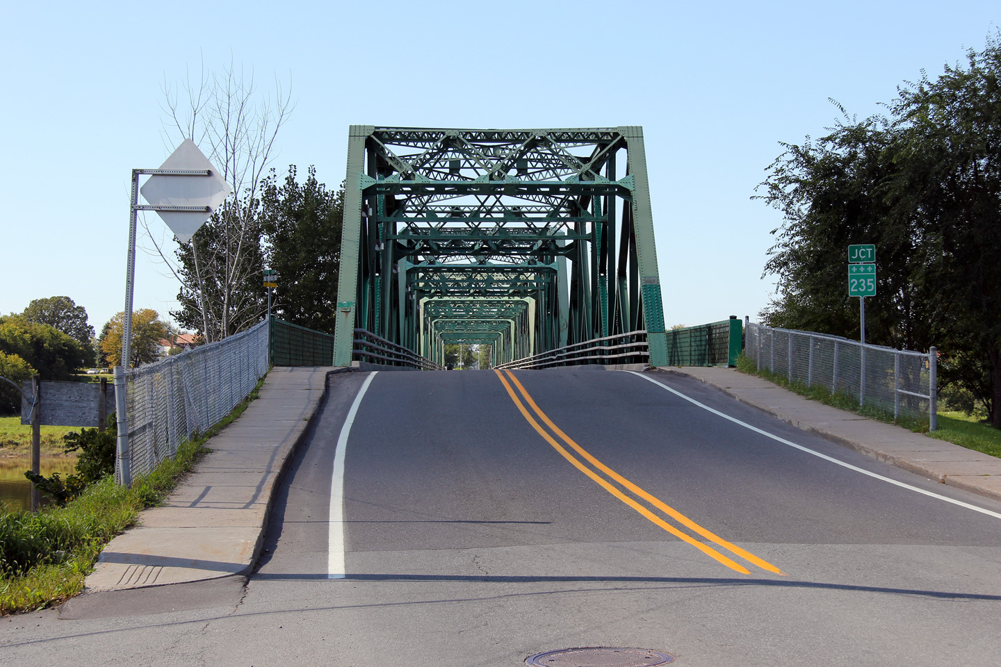
MRC Pierre-de-Saurel Yamaska |
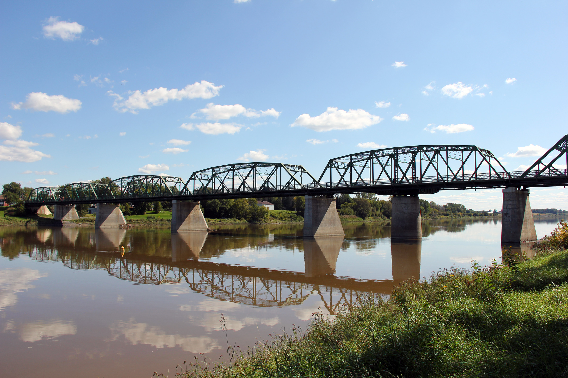
Easterly view through the western portal of the Yamaska River truss bridge.
Vue en direction est à travers le portail ouest du pont en treillis de la rivière Yamaska. |
 |
||
|
Date: 9/18/2011 |
High-res: (1440x960) (2400x1600) |
|||
|
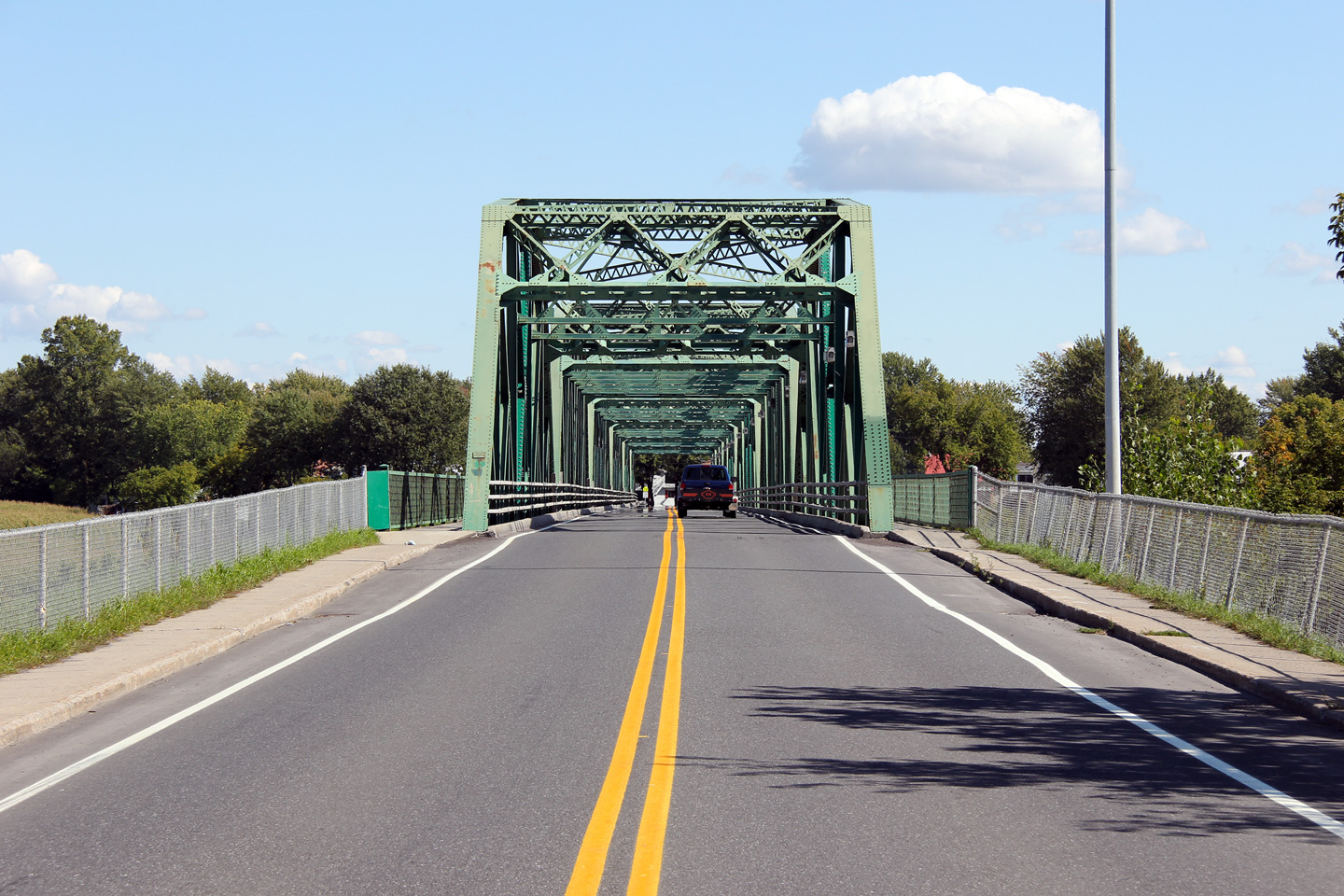
MRC Pierre-de-Saurel Yamaska |
Three views of the picturesque Yamaska River truss bridge.
Trois vues de la pittoresque pont en treillis qui porte la route 132 au-dessus de la rivière Yamaska. |
|
||
|
High-res: (1440x960) (2400x1600) |
||||
|
|
||||
|
High-res: (1440x960) (2400x1600) |
||||
|
|
||||
|
Date: 9/18/2011 |
High-res: (1440x960) (2400x1600) |
|||
|
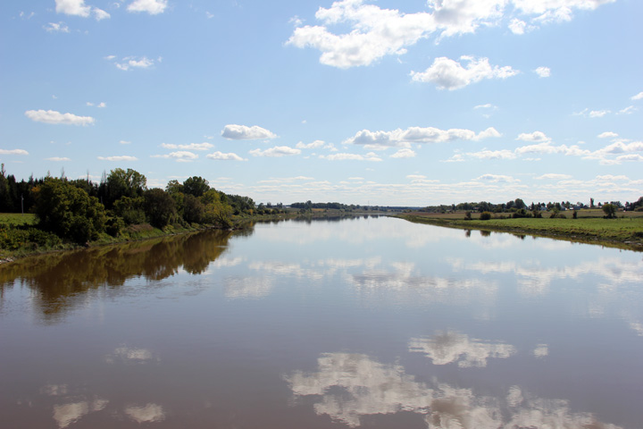
MRC Pierre-de-Saurel Yamaska |
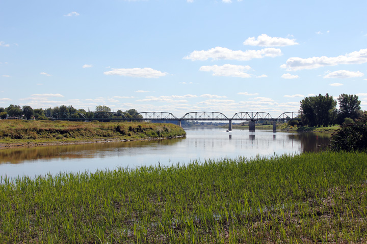
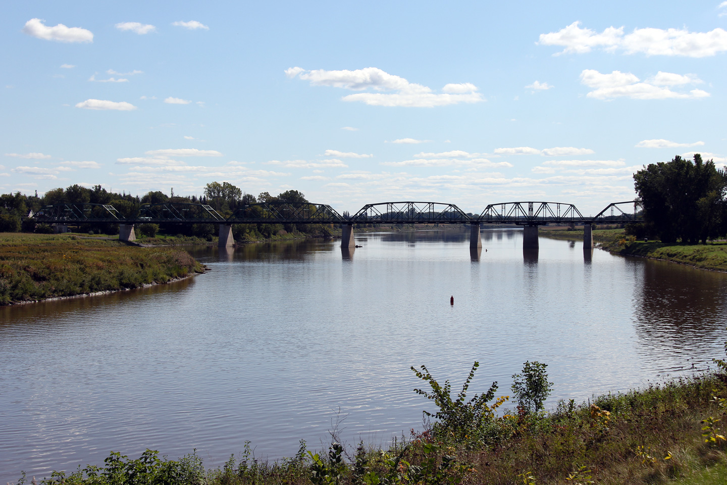
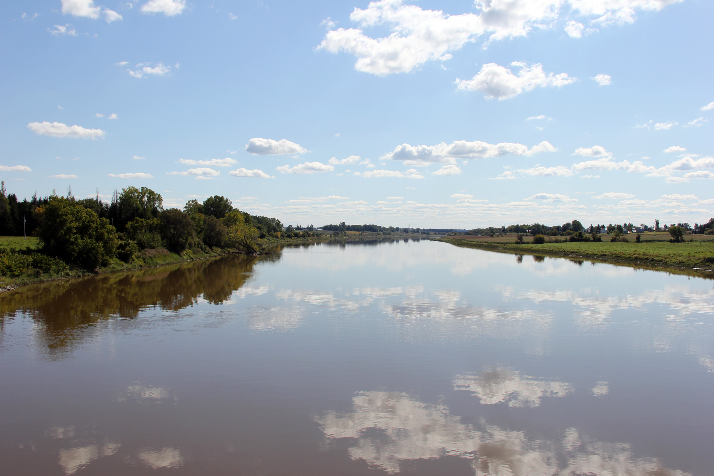
This view looks northerly along the Yamaska River from the Highway 132 bridge.
Cette photo regard en direction nord le long de la rivière Yamaska à partir du pont de la route 132. |
|
||
|
Date: 9/18/2011 |
High-res: (1440x960) (2400x1600) |
|||
|
MRC Pierre-de-Saurel Yamaska |
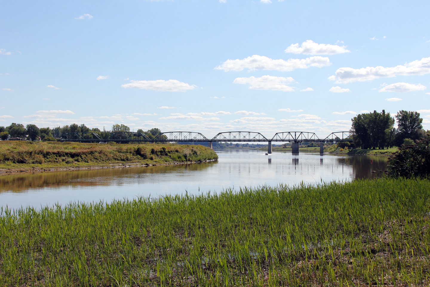
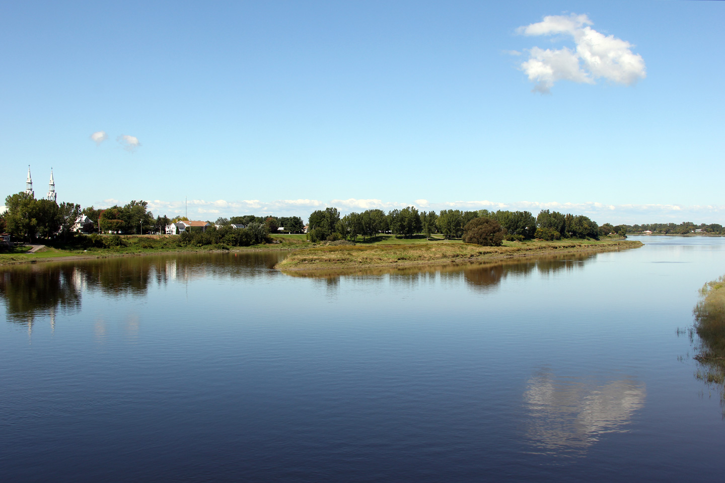
A very scenic view looking southerly along the Yamaska River as the September sky is reflected in the perfectly still water.
Une vue très panoramique en direction sud le long de la rivière Yamaska alors que le ciel Septembre est reflété sur l'eau parfaitement immobile |
 |
||
|
Date: 9/18/2011 |
High-res: (1440x960) (2400x1600) |
|||
|
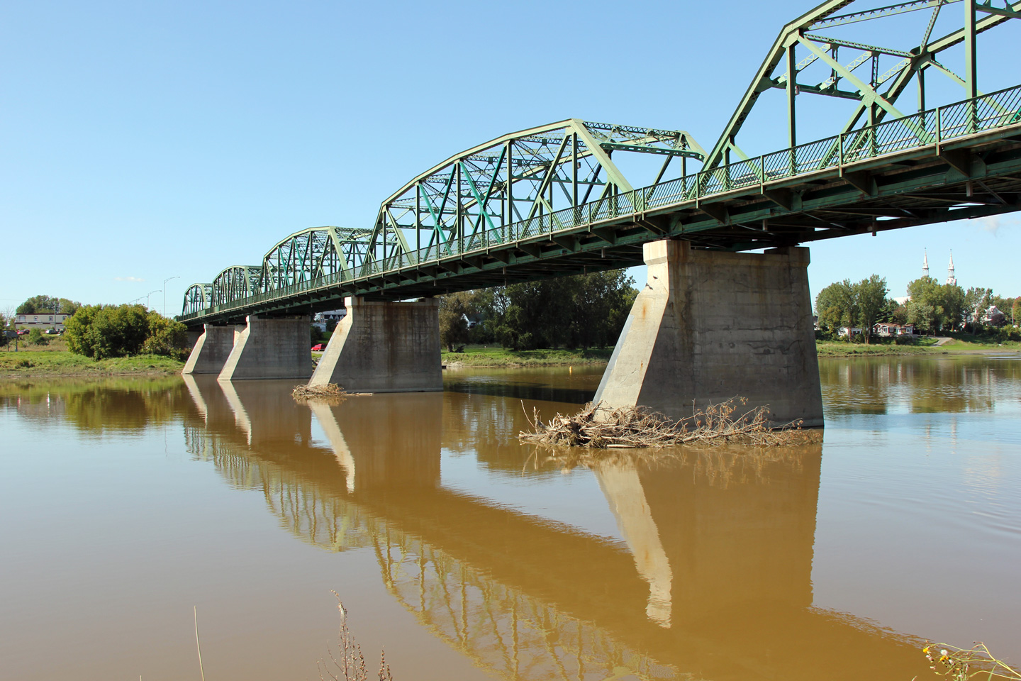
MRC Pierre-de-Saurel Yamaska |
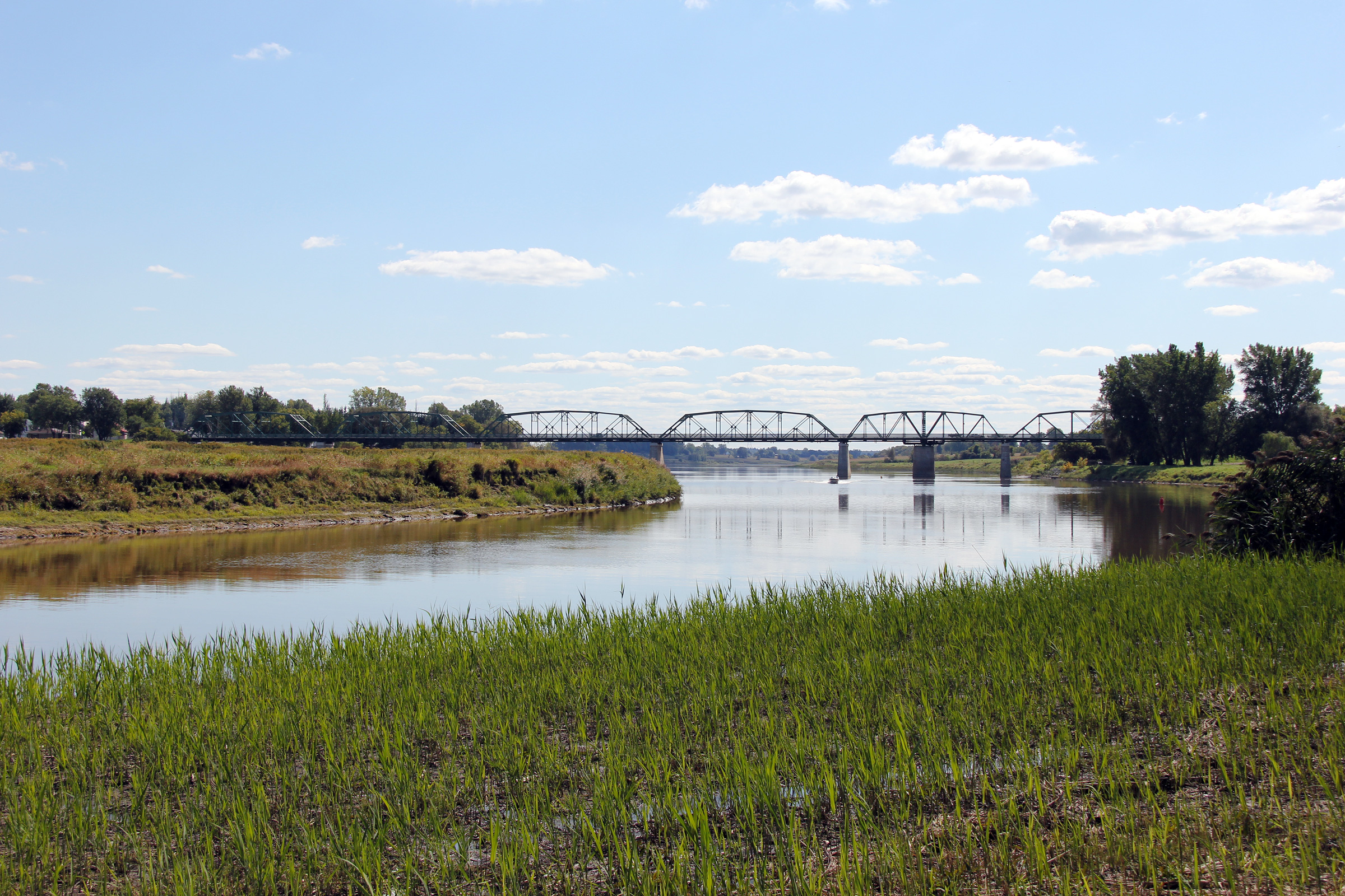
Southern side of the Yamaska River Bridge as seen from the eastern bank of the River.
Façade sud du pont de la rivière Yamaska comme vu de la côte est de la rivière |
 |
||
|
Date: 9/18/2011 |
High-res: (1440x960) (2400x1600) |
|||
|
MRC Pierre-de-Saurel Yamaska |
View looking west across the Yamaska River Bridge from Yamaska East.
Vue en direction ouest à travers le pont de la rivière Yamaska à partir de Yamaska Est. |
 |
||
|
Date: 9/18/2011 |
High-res: (1440x960) (2400x1600) |
|||
<-
R-131
PQ Highways
R-133 ->
Asphaltplanet.ca
© 2011-12 AsphaltPlanet.ca.
AsphaltPlanet@asphaltplanet.ca
Page Created: December 28, 2011.
Last Updated: December 28, 2011.


