AsphaltPlanet.ca > OntHighways >
Highway 130 > Images
King's Highway
130 - Images
Photos shown in this table are arranged from South to North:
|
Proper Municipality Name |
Photo Description |
Photo |
|
Pictures taken
from driver's perspective appear offset from centre-line pictures: |
North-
Bound |
South-
Bound |
|
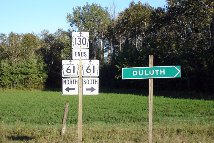
Highway 130 ends as the Shabaqua Highway meets Arthur
Street.
Click here for Highway 11 images and
here for Highway 17
images. |
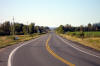
Municipality of Oliver Paipoogne
District of Thunder Bay |
Northerly view of a Highway 130
from just north of the Highway 61 junction. The fertile farmland that
surrounds the City of Thunder Bay is atypical of much of Northwestern
Ontario.
Photo taken: August 30th, 2006. |
(720x480)
(1440x960) |
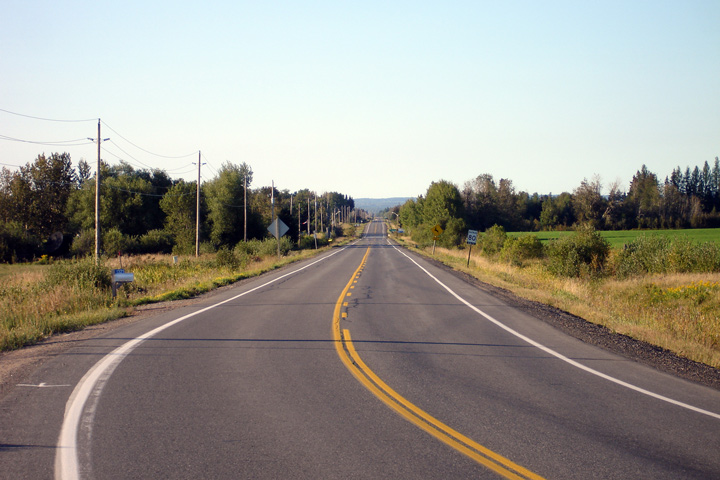
Municipality of Oliver Paipoogne
District of Thunder Bay |
Southbound junction assembly at
Highway 61. Note that Duluth is used as the southbound control city
along Highway 61 from Thunder Bay. There is no settlement of note
between Thunder Bay and the U.S. Border along Highway 61. Photo taken:
August 30th, 2006. |
 (720x480) (720x480)
(1440x960) |
|
Highway 130 ends at Highway 61. Highway 61 continues
southerly from Highway 130 in Minnesota, eventually becoming U.S. Highway
61.
Click here for Highway 61 images. |
<- Highway
129 Images
Back to
Highway 130
Highway 131 Images ->
Images Index
www.OntHighways.com - Home
Copyright (c) 2004-2011, Scott Steeves (Webmaster)
scott@asphaltplanet.ca
 (720x480)