|
Proper Municipality Name |
Photo Description |
Photo |
|
Pictures taken
from driver's perspective appear offset from centre-line pictures: |
East-
bound |
West-
bound |
|
Continued from
Pass Lake to Thunder Bay
Images |
|
Highway 61 leads south from
Highway 11/17 towards the Minnesota Border, and eventually Duluth.
Click here for Highway 61 images. |
|
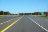
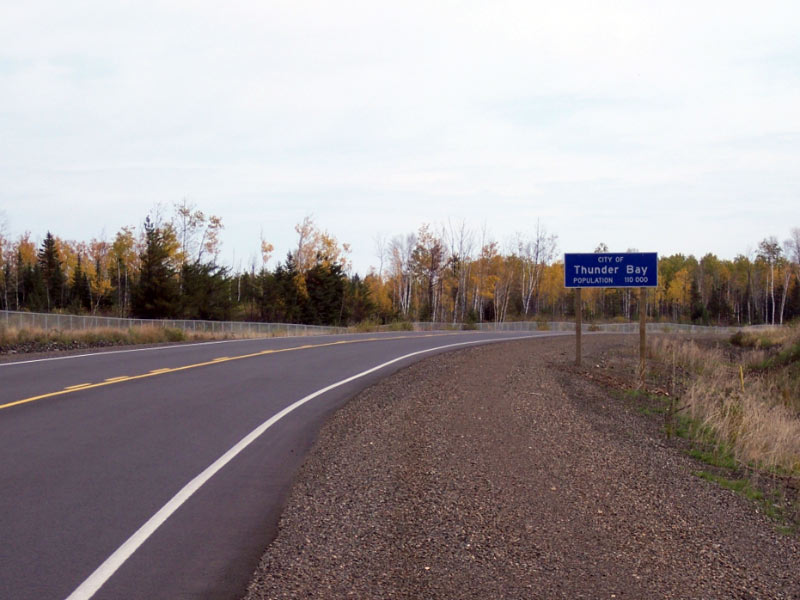
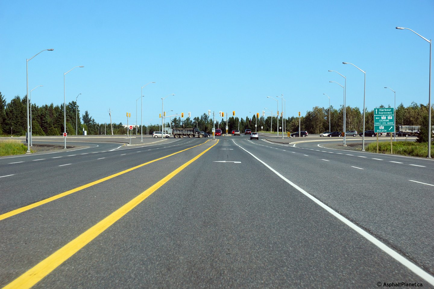
City of Thunder Bay District of Thunder Bay |
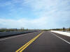
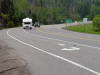
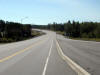
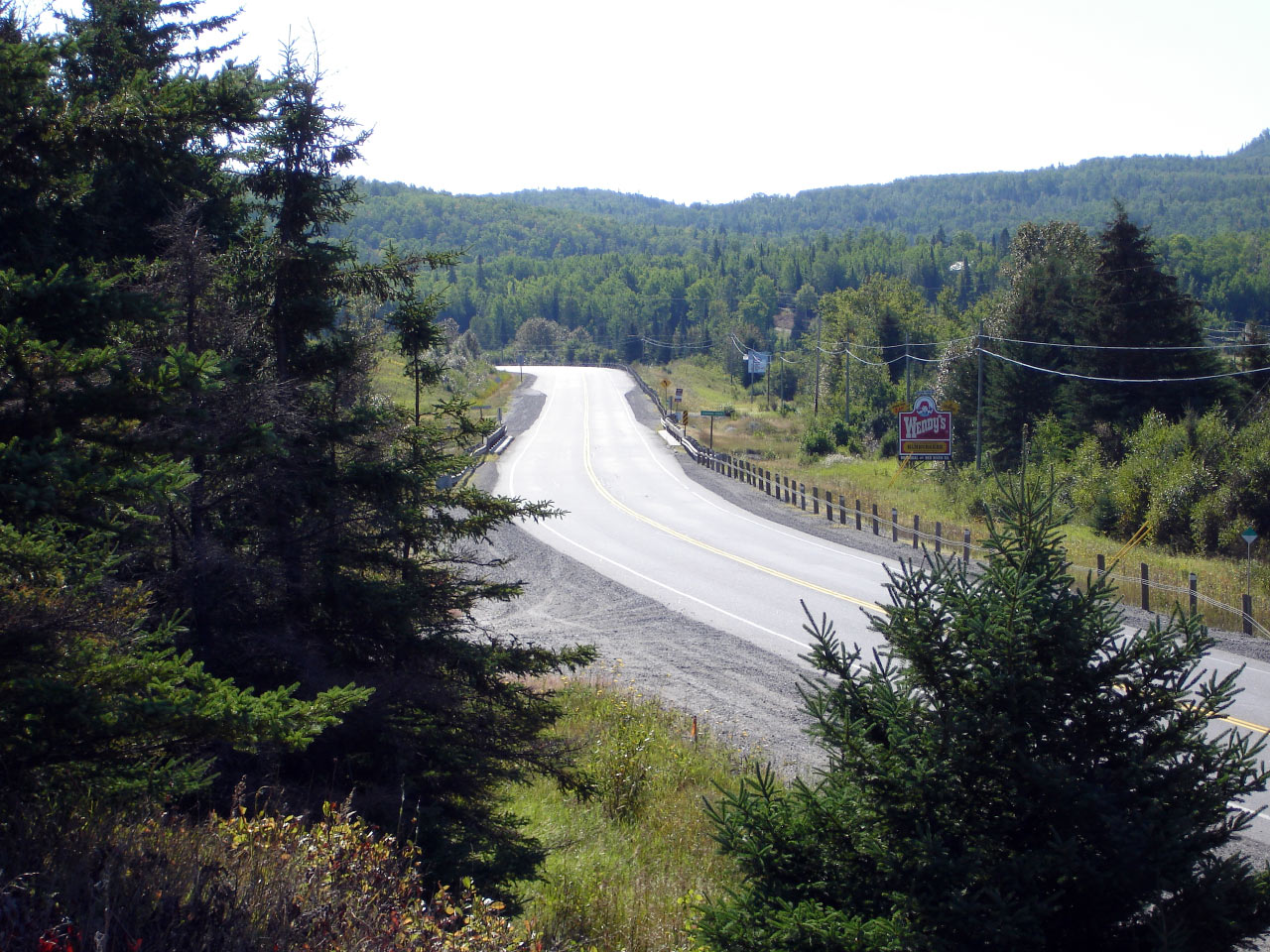
View looking easterly approaching the Thunder Bay Expressway intersection.
Trans-Canada Highway traffic must turn left at this intersection in order to
continue following Highway 11/17 East.
Photo taken: August 13th, 2014. |
(720x480)
(1440x960)
(2400x1600) |
|
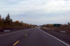
City of Thunder Bay District of Thunder Bay |
View looking westerly from the from just west of the Thunder Bay Expressway
intersection.
Photo taken: August 13th, 2014. |

(720x480)
(1440x960)
(2400x1600) |
|
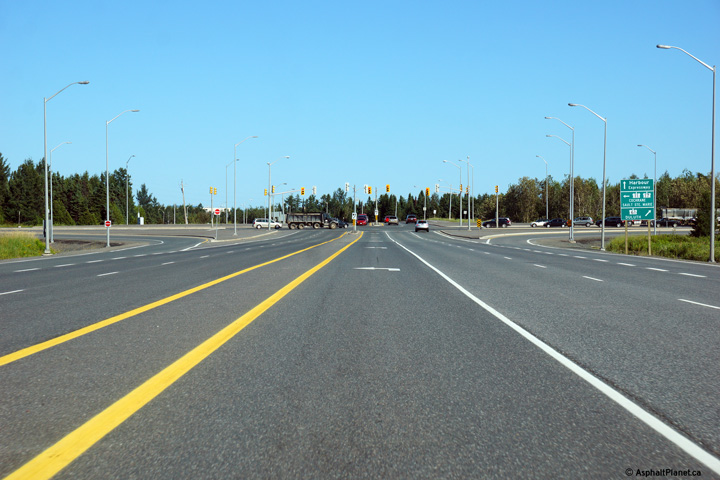
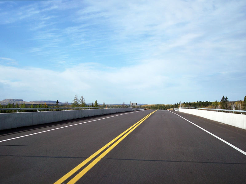
City of Thunder Bay District of Thunder Bay |
This view looks easterly along Highway 11/17 as the Shabaqua Highway widens
from two to four lanes. Highway 11/17 has a four lane cross-section
for just over 1km immediately west of the Thunder Bay Expressway
intersection.
Photo taken: August 13th, 2014. |

(720x480)
(1440x960)
(2400x1600) |
|
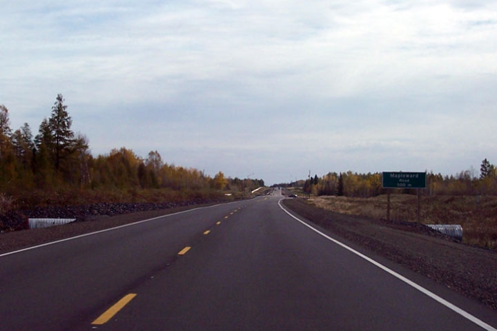
City of Thunder Bay District of Thunder Bay |
View looking east as the Shabaqua Diversion meets Mapleward Drive. Photo courtesy: Greg Fox.
Taken: October 1st, 2007. Size: 40kb. |
 |
|
Township of Oliver Paipoonge
District of Thunder Bay |
The view looking easterly as Highway 11/17 rounds a gentle curve at the
Thunder Bay City Limit. Photo courtesy: Greg Fox. Taken: October
1st, 2007. Size: 80kb. |
 |
|
Township of Oliver Paipoonge
District of Thunder Bay |
View looking west towards the CPR overhead from the Twin City Crossroads
intersection. Photo courtesy: Greg Fox. Taken: October 1st, 2007. Size:
70kb. |
 |
|
Township of Oliver Paipoonge
District of Thunder Bay |
View looking west from the top of the CPR overhead. Notice both
railings have a steel top rail despite the absence of sidewalks. Photo courtesy: Greg Fox.
Taken: October 1st, 2007. Size: 55kb. |
 |
|
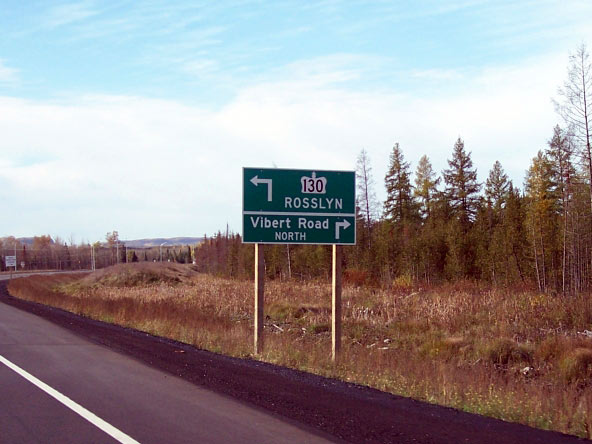
Township of Oliver Paipoonge
District of Thunder Bay |
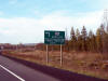
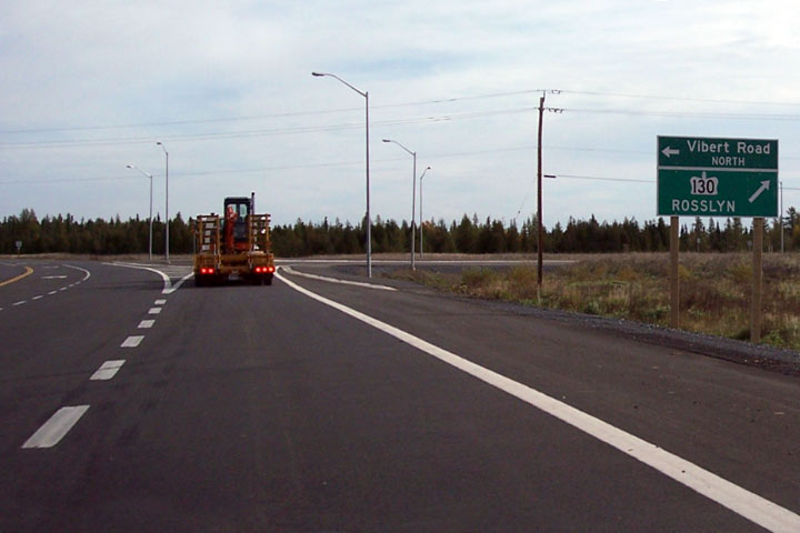
New green sign for the Highway 130 junction. Note Rosslyn as the
control city, instead of Duluth as it had previously been signed. Photo courtesy: Greg Fox.
Taken: October 1st, 2007. Size: 55kb. |
 |
|
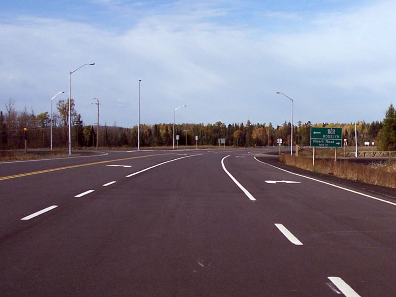
Township of Oliver Paipoonge
District of Thunder Bay |
View looking easterly from the Highway 130 junction on the newly opened
(Summer 2007) Shabaqua Diversion. Photo courtesy: Greg Fox. Taken:
October 1st, 2007. Size: 55kb. |
 |
|
Township of Oliver Paipoonge
District of Thunder Bay |
Looking west at the Highway 130 junction. The Shabaqua Diversion ties
into the original Highway 11/17 alignment as it rounds this gradual curve. Photo courtesy: Greg Fox.
Taken: October 1st, 2007. Size: 60kb. |
 |
|
Highway 130 is a short connector highway that links
Highway 11/17 to Highway 61 via Rosslyn.
Click here for Highway 130
images. |
|
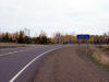
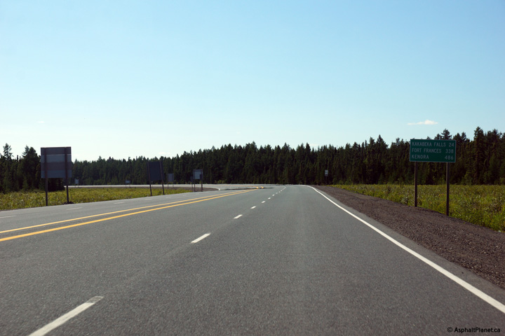
Township of Oliver Paipoonge
District of Thunder Bay |
View looking east along Highway 11/17 at the start of the Shabaqua Highway
at the Highway 130 junction. Highway 130 follows the original Highway
11/17 alignment for a short distance between this junction and Highway 130's
former northern terminus.
Photo courtesy: Greg Fox. Taken: October 1st, 2007. Size: 45kb. |
 |
|
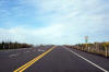
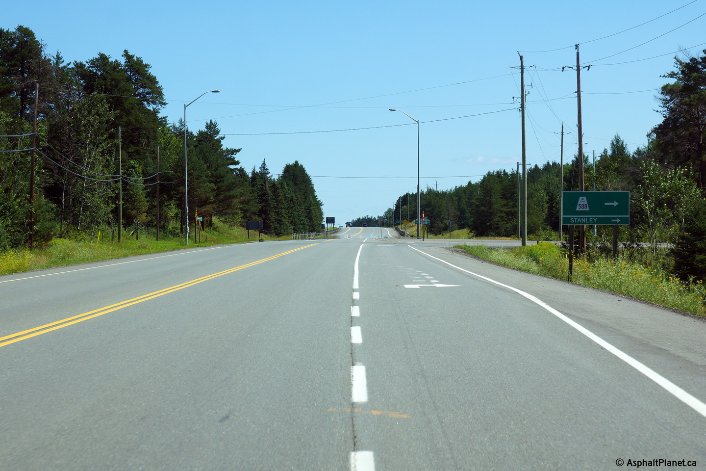
Township of Oliver Paipoonge
District of Thunder Bay |
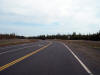
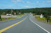
This view looks easterly approaching the Highway 588 intersection.
Photo taken: August 13th, 2014. |
(720x480)
(1440x960)
(2400x1600) |
|
Township of Oliver Paipoonge
District of Thunder Bay |
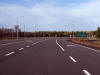
View looking west through the small community of Kakabeka Falls.
Highway 11/17 has an urban 4-lane cross-section through the town. Photo taken: August 31st, 2006. Low-res:
60kb. High-res: 230kb. |
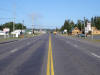
Low-res
High-res |
| Township of Oliver Paipoonge
District of Thunder Bay |
Highway
11/17 looking eastwards from Highway 590
junction, just west of Kakabeka Falls. The bridge shown in this
picture carries Highway 11/17 over the
Kakabeka River. Just south of
this structure is beautiful Kakabeka Falls. The falls are located in
the Kakabeka Falls Provincial Park. To view the falls, trail permits
are available at the provincial park.
Photo taken: July 3rd, 2004.
Size: 55kb |
 |
|
Highway 590 leads south of the
Trans-Canada Highway towards Nolalu. Click here for Highway 590
images. |
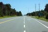
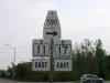
| Township of Oliver Paipoonge
District of Thunder Bay |
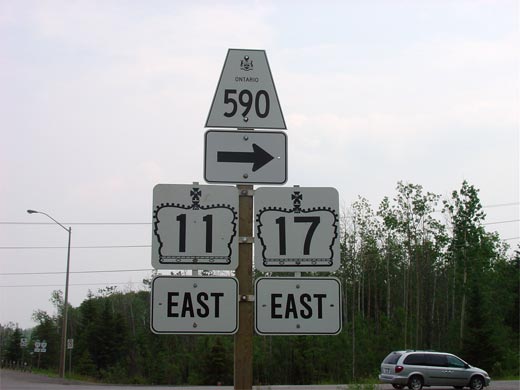
The junction assembly for the Highway 590/11/17
intersection that is located just west of Kakabeka Falls. This sign is
slightly atypical because the MTO has chosen to use 'EAST' tabs underneath
the 11 and 17 squares instead of straight arrows. Highway 590 leads
west and south from Highway 11/17 and heads to Nolalu.
Photoe size: 25kb |
 |
| Township of Oliver Paipoonge
District of Thunder Bay |
Looking westerly along Highway
11/17 from the
Highway 590 junction. West of Highway 590, Highway
11/17 climbs and
descends a series of long grades as it makes its way north to Shabaqua
Corners. Photo taken: July 3rd, 3004. Size: 105kb. |
 |
|
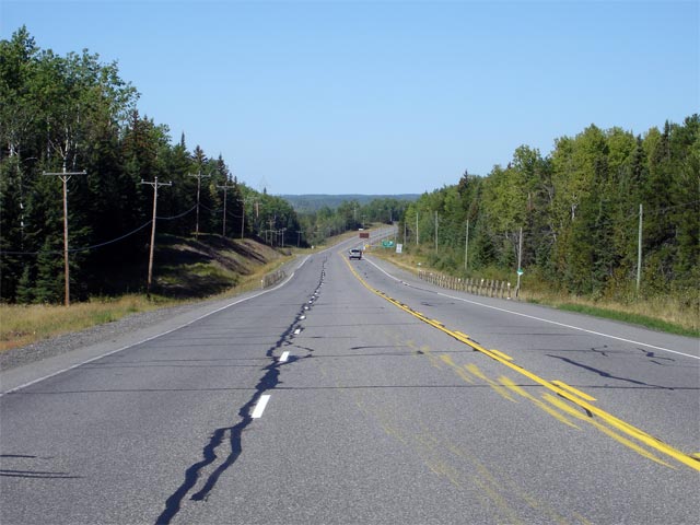
District of Thunder Bay |
View looking easterly as Highway 11/17 begins its long descent into the
Kaministiquia River Valley. Photo taken: August 31st, 2006. Low-res:
65kb. High-res: 270kb. |

Low-res
High-res |
|
District of Thunder Bay |
View looking westerly as Highway 11/17 continues to climb into the
wilderness west of Thunder Bay. Photo taken: August 31st, 2006.
Low-res: 75kb. High-res: 285kb. |

Low-res
High-res |
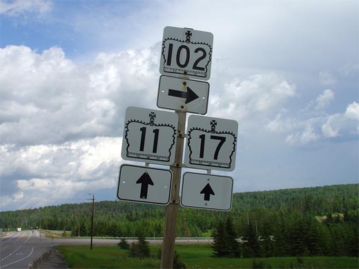
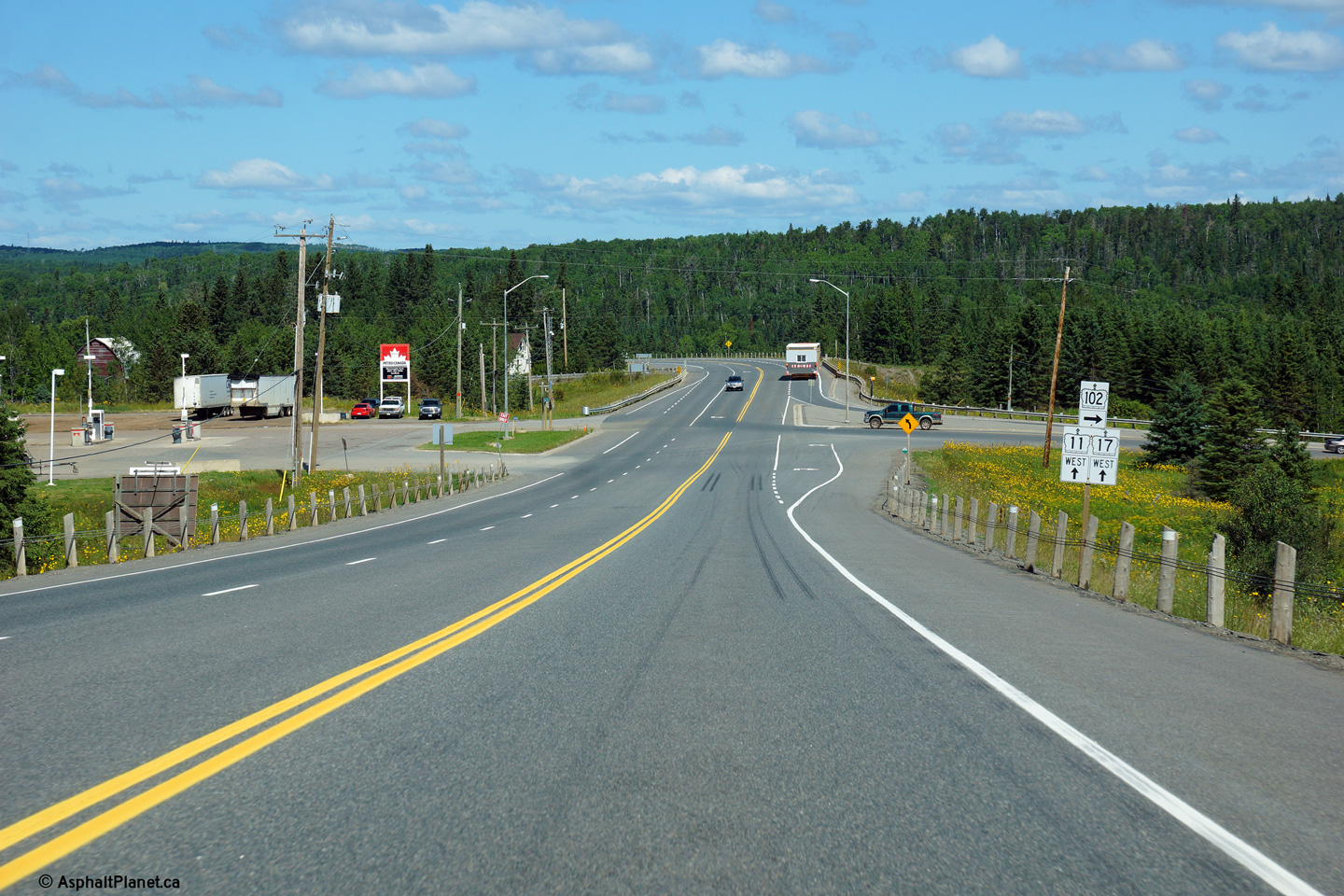
| District of Thunder Bay |
Highway 102 is an alternate to the Trans-Canada
Highway from Shabaqua to Thunder Bay. The only reason I can see why
Highway 102 didn't assume the Trans-Canada Highway designation, is that it
bypasses scenic Kakabeka Falls, which is a popular tourist attraction for
many motorists venturing across Northwestern Ontario.
Picture size: 25kb |
 |
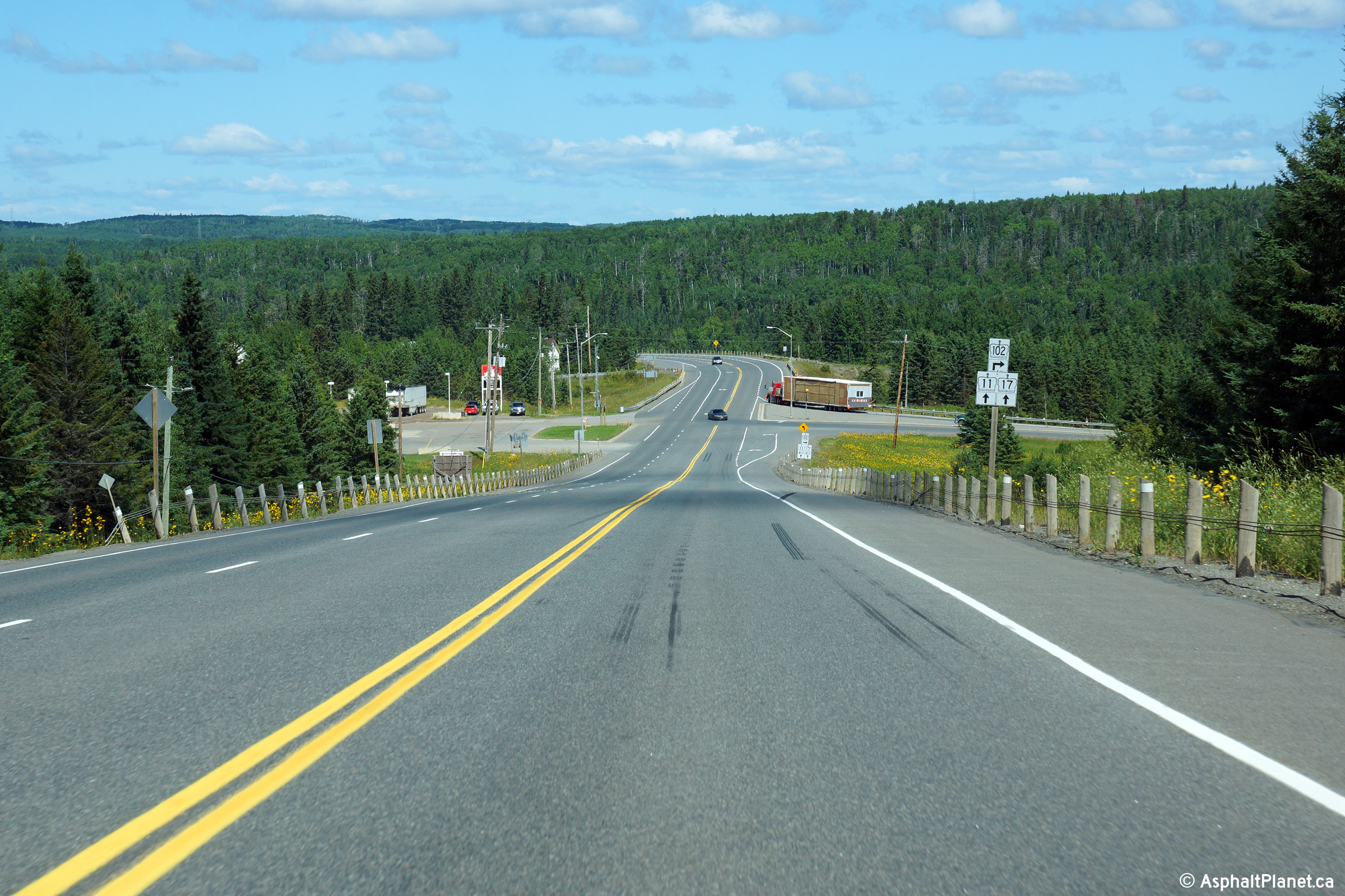
| District of Thunder Bay |
Highway 11/17 looking west towards the western
junction of Highway 102 west of Thunder Bay, and north of Kakabeka Falls.
Photo taken: July 13th, 2004. Low-res: 45kb. |
(720x480)
(1440x960)
(2400x1600)

(720x480)
(1440x960)
(2400x1600) |
|
Highway 102 is a shortcut route
bypassing Highway 11/17 through Kakabeka Falls.
Click here for Highway 102 images. |
|
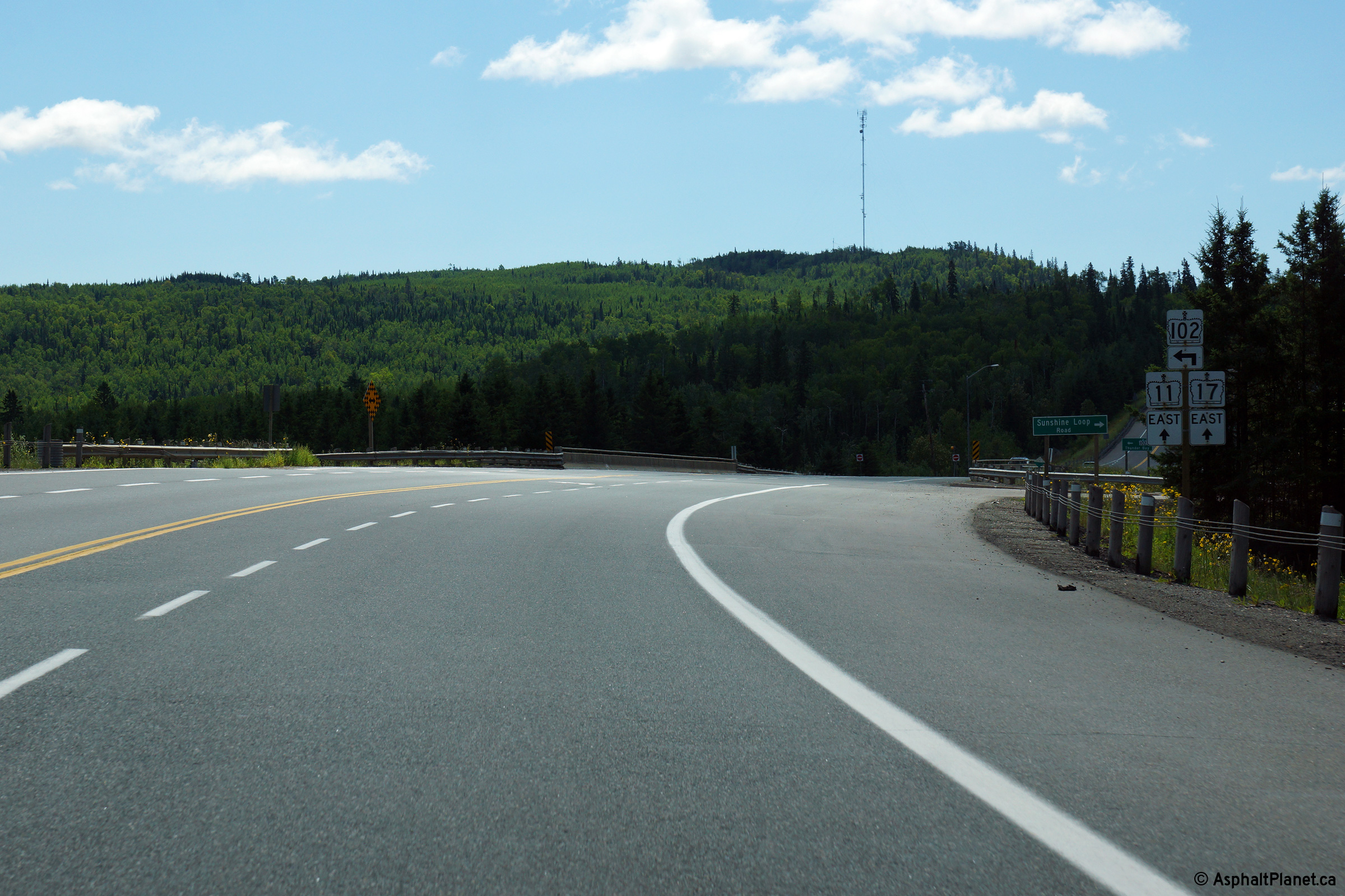
District of Thunder Bay |
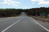
Easterly view approaching the Highway 102 intersection at Sistonen's
Corners. While it has been signed as such in the past, Highway 102 is
no longer signed as an official alternate route to Highway 11/17 between
this junction easterly to Thunder Bay.
Photo taken: August 13th, 2014. |
(720x480)
(1440x960)
(2400x1600) |
|
District of Thunder Bay |
Junction assembly at the western Highway 102 junction.
Photo taken: August 13th, 2014. |

(720x480)
(1440x960)
(2400x1600) |
|
District of Thunder Bay |
Staring at the sun towards the Sunshine Creek bridge along Highway 11/17
between Shabaqua and Sistonen's Comers. Photo taken: August 31st, 2006.
Low-res: 90kb. High-res: 340kb. |

Low-res
High-res |
|
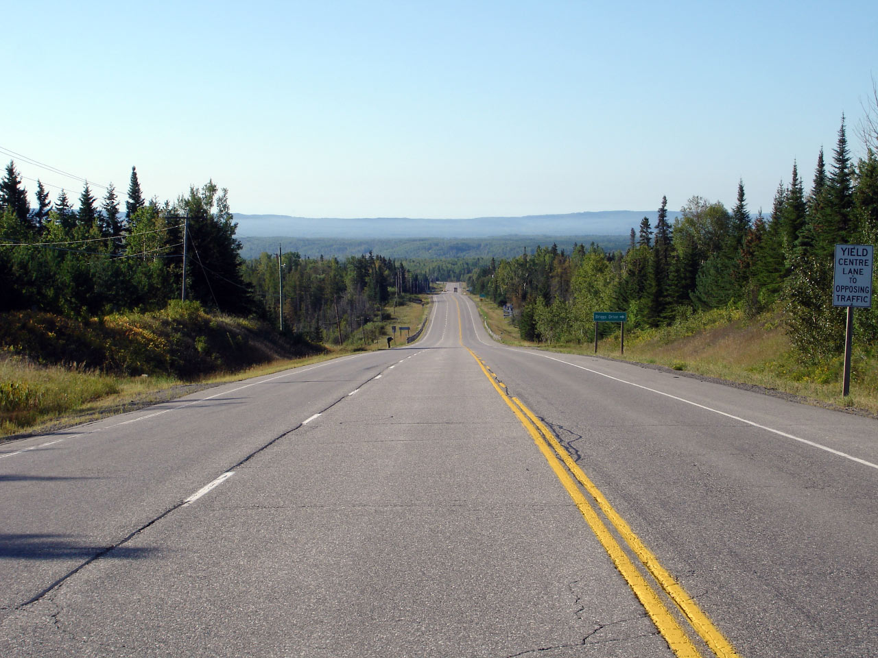
District of Thunder Bay |
View of a highway curve just west of the Sunshine Creek bridge. Photo
taken: August 31st, 2006. Low-res: 75kb. High-res: 300kb. |
Low-res
High-res |
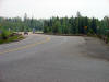
| District of Thunder Bay |
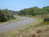
View looking westerly along Highway 11/17 from roughly 2km east of the
Highway 11/17 junction. There are numerous passing lanes along Highway
11/17 between Shabaqua Corners and Kakabeka Falls as the highway passes
overtop of a series of large hills.
Photo taken: September 4th, 2006. Low-res: 55kb. High-res: 225kb. |

Low-res
High-res |
| District of Thunder Bay |
Interesting looking diagram sign just before the Highway 11/17 junction.
Photo taken: August 31st, 2006. Low-res: 65kb. High-res: 260kb. |
Low
Res
High Res |
|
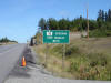
District of Thunder Bay |
The Highway 11/17 junction is located in very close proximity to the
Oskondaga River bridge. Photo taken: August 31st, 2006.
Low-res: 45kb. High-res: 170kb. |
Low-res
High-res |
|
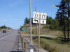
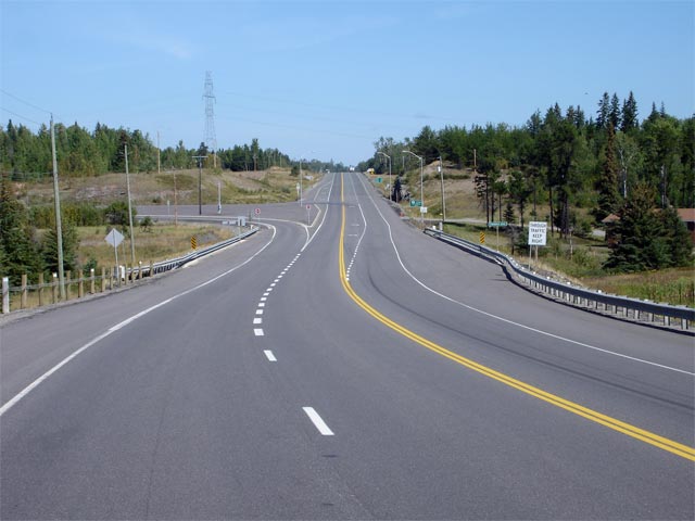
District of Thunder Bay |
Standard junction assembly in advance of the Shabaqua Highway 11/17
junction. Notice there is no reference to the Trans-Canada Highway at
this junction. Photo taken: August 31st, 2006. Low-res: 65kb. |
 |
|
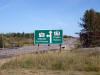
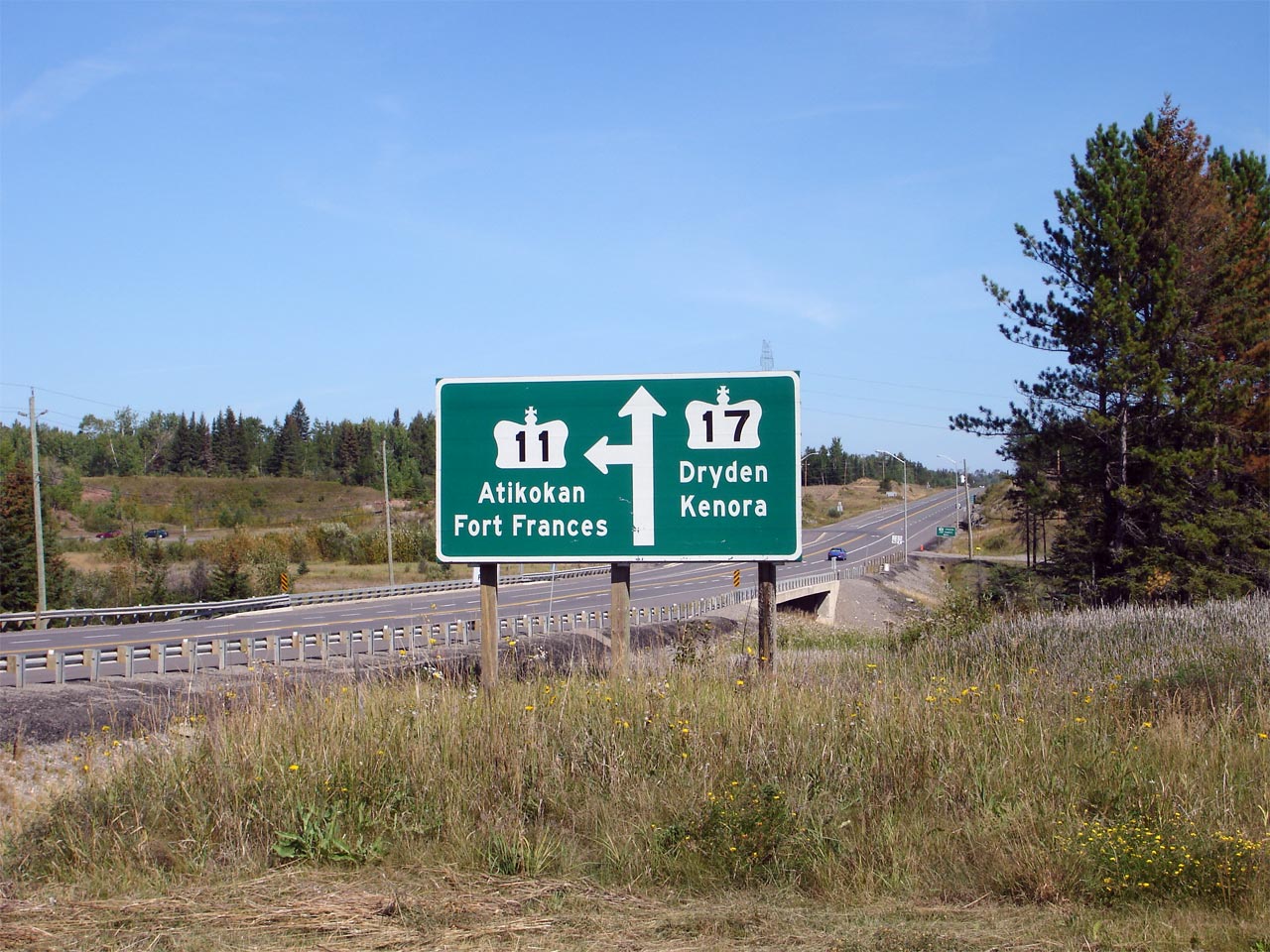
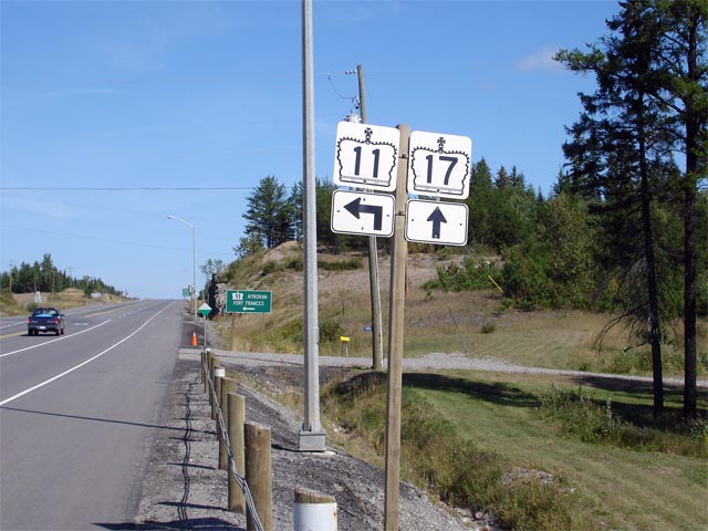
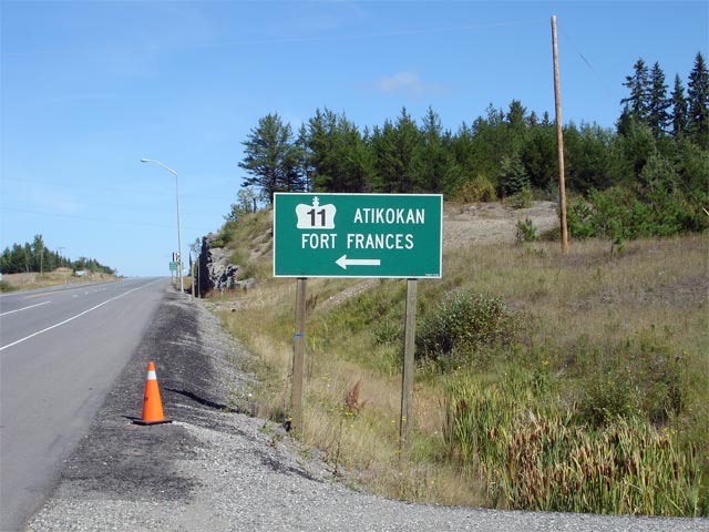
District of Thunder Bay |
Green sign that denotes Highway 11 departing from Highway 17 leading to Atikokan and Fort Frances. Photo taken: August 31st, 2006. Low-res:
65kb. |
 |
|
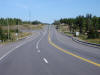
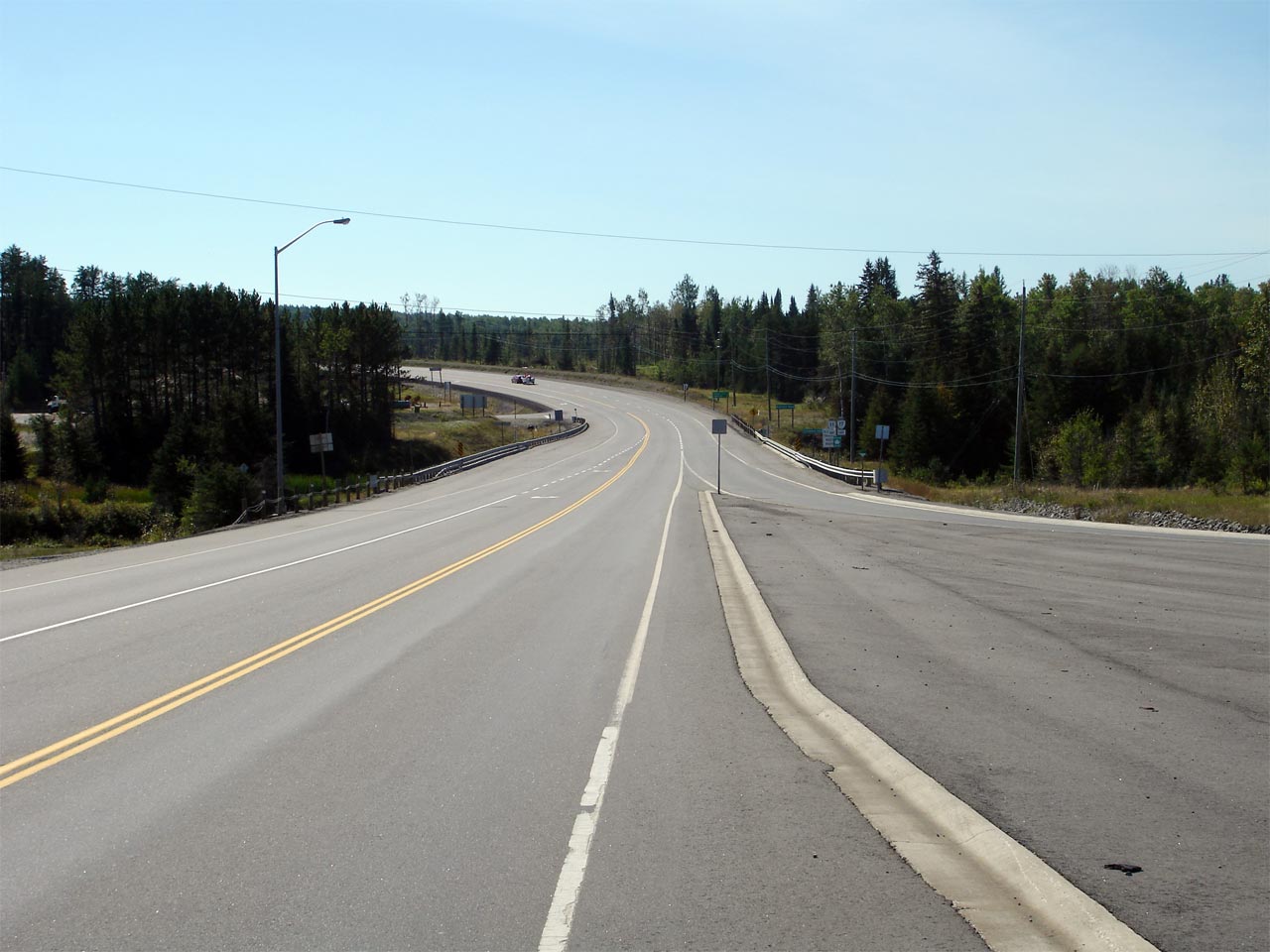
District of Thunder Bay |
View looking east towards the Thunder Bay along Highway 11/17 from the
Shabaqua junction. Photo taken: August 31st, 2006.
Low-res: 40kb. High-res: 145kb. |
Low-res
High-res |
|
Continue west on Highway 11 via
Shabaqua to
Atikokan images. |


