|
Proper Municipality Name |
Photo Description |
Photo |
|
Pictures taken
from driver's perspective appear offset from centre-line pictures: |
East-
Bound |
West-
Bound |
|
Highway 41 continues both north
and south of Highway 132 en route from Napanee to Pembroke.
Click here for Highway 41 images |
Municipality of Bonnechere Valley
County of Renfrew |
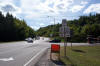
This view looks westerly at the signage assembly that denotes the western
terminus of Highway 132 at Highway 41. Photo taken: September 12th, 2009. |
 (720x480) (720x480)
(1440x960) |
Municipality of Bonnechere Valley
County of Renfrew |
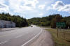
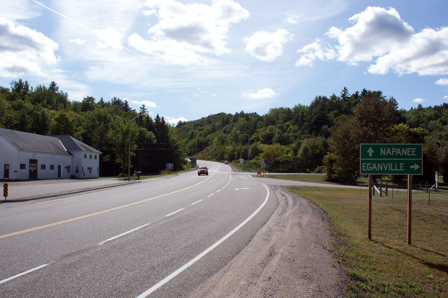
Westbound view towards the western terminus of Highway 132 at Highway 41.
Highway 132 West becomes Highway 41 South, bound for Napanee. There
are not many notable settlements found along the 150km between this junction
and Napanee along Highway 41 South.
Photo taken: September 12th, 2009. |
(720x480)
(1440x960)
(2400x1600) |
Municipality of Bonnechere Valley
County of Renfrew |
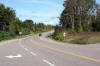
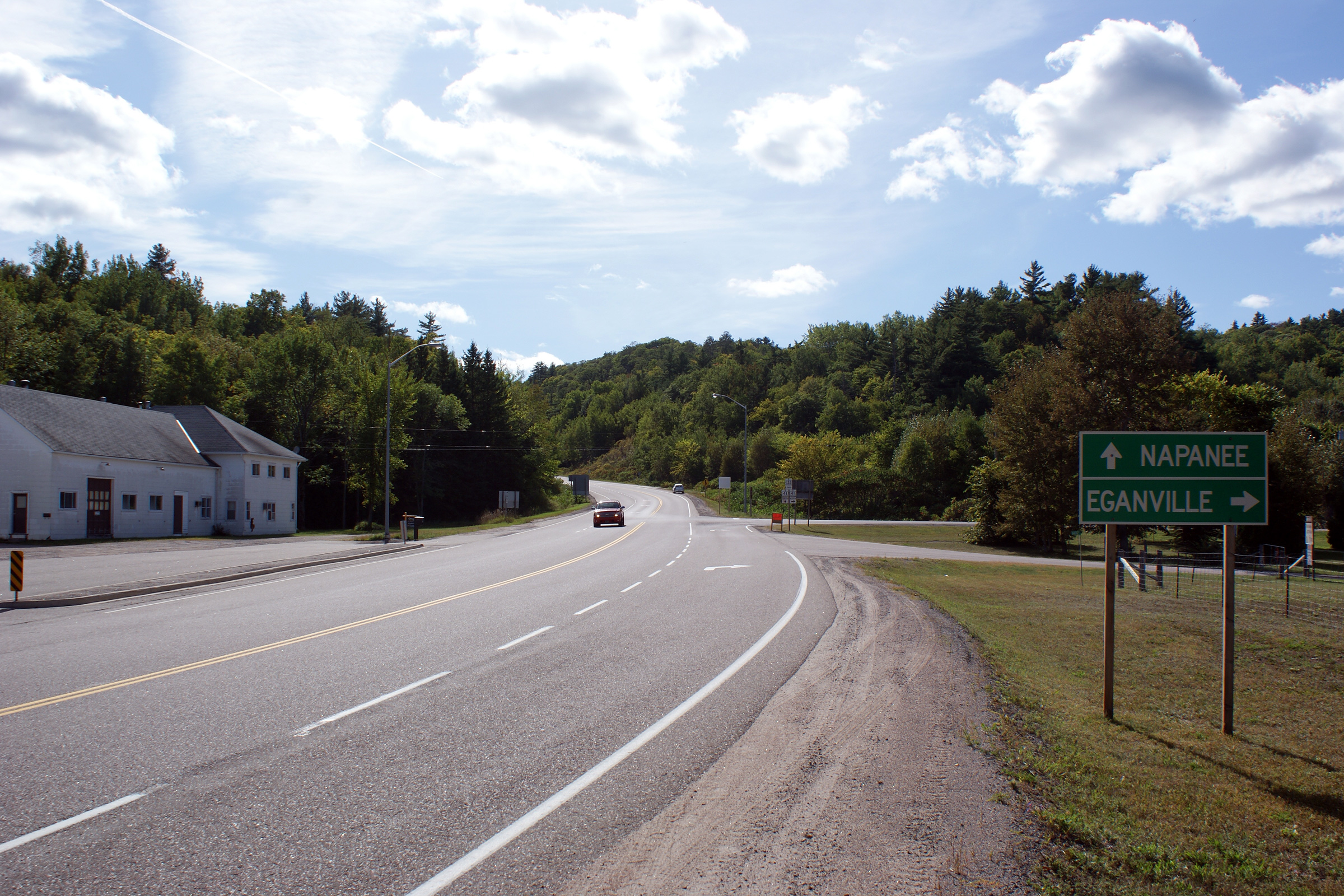
View looking easterly from the Highway 41 junction towards Renfrew. Photo
taken: September 12th, 2009. |
(720x480)
(1440x960)
(2400x1600) |
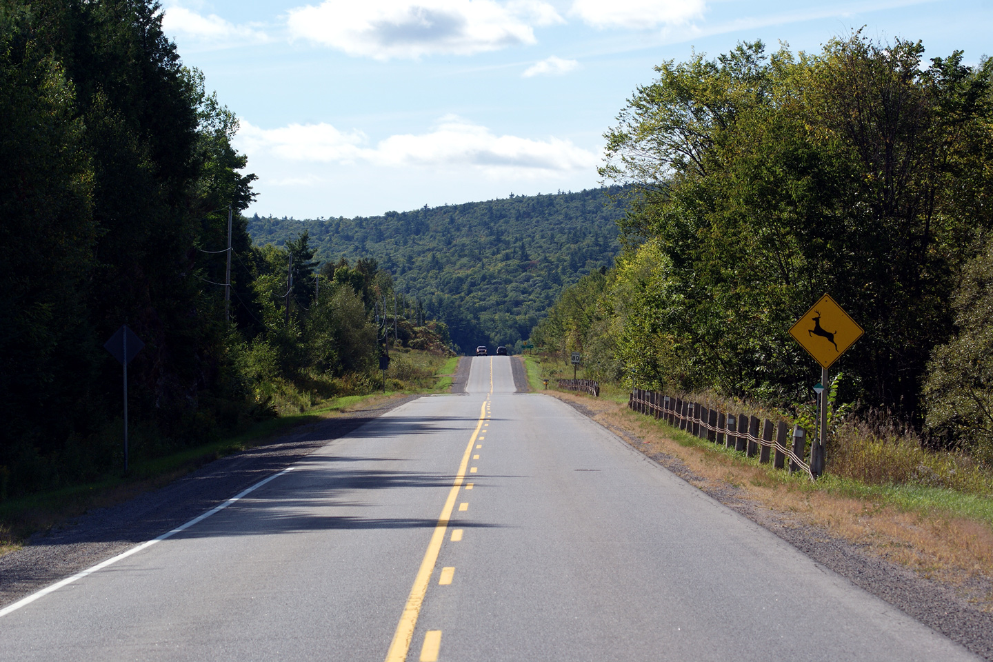
Municipality of Bonnechere Valley
County of Renfrew |
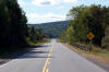
Westerly view along Highway 132 looking westerly towards Highway 41 from
Dacre. the tall Opeongo Hills tower over the highway's narrow valley.
Photo taken: September 12th, 2009. |
(720x480)
(1440x960)
(2400x1600) |
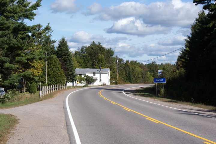
Municipality of Bonnechere Valley
County of Renfrew |
View looking easterly as Highway 132 rounds the bend into the small
community of Dacre.
Photo taken: September 12th, 2009. |
(720x480)
(1440x960)
(2400x1600) |
 (720x480)
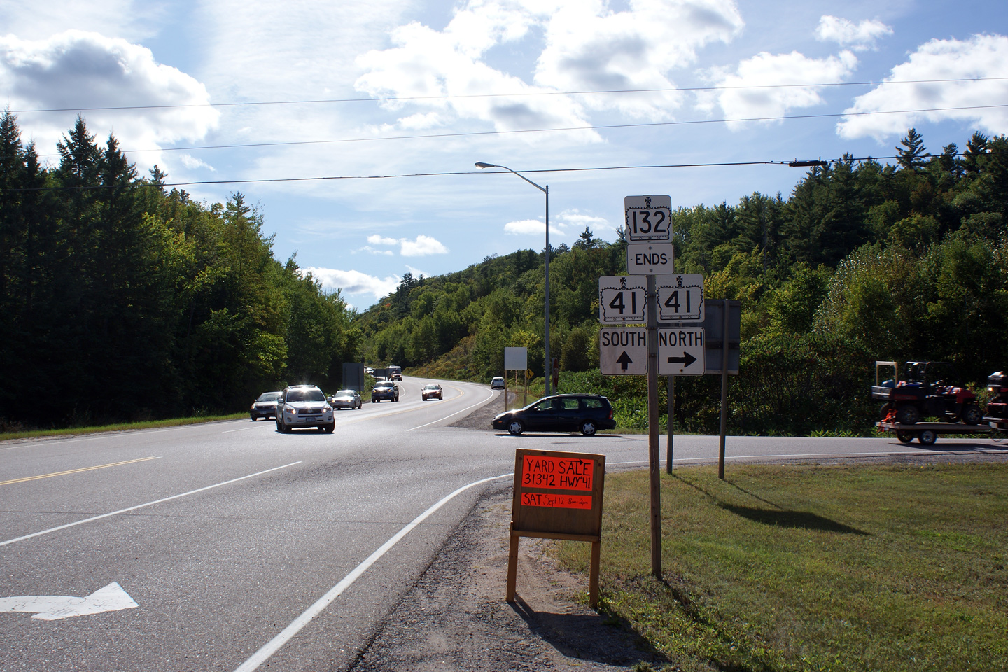


