|
Proper Municipality Name |
Photo Description |
Photo |
|
Pictures taken
from driver's perspective appear offset from centre-line pictures: |
North-
Bound |
South-
Bound |
|
Highway 7 travels the length of
Eastern Ontario between Peterborough and Ottawa.
Click here for Highway 7 images. |
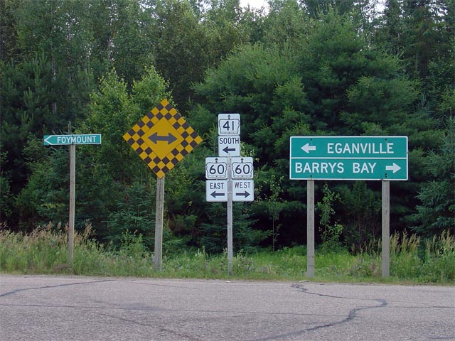
Township of Addington Highlands
County of Lennox and Addington |
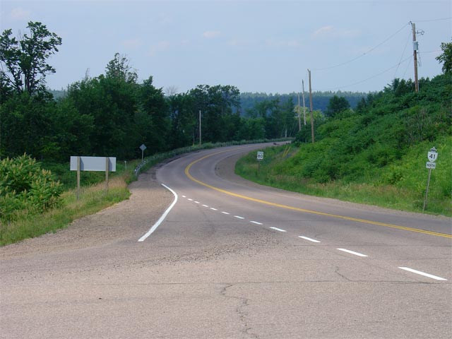
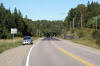
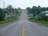
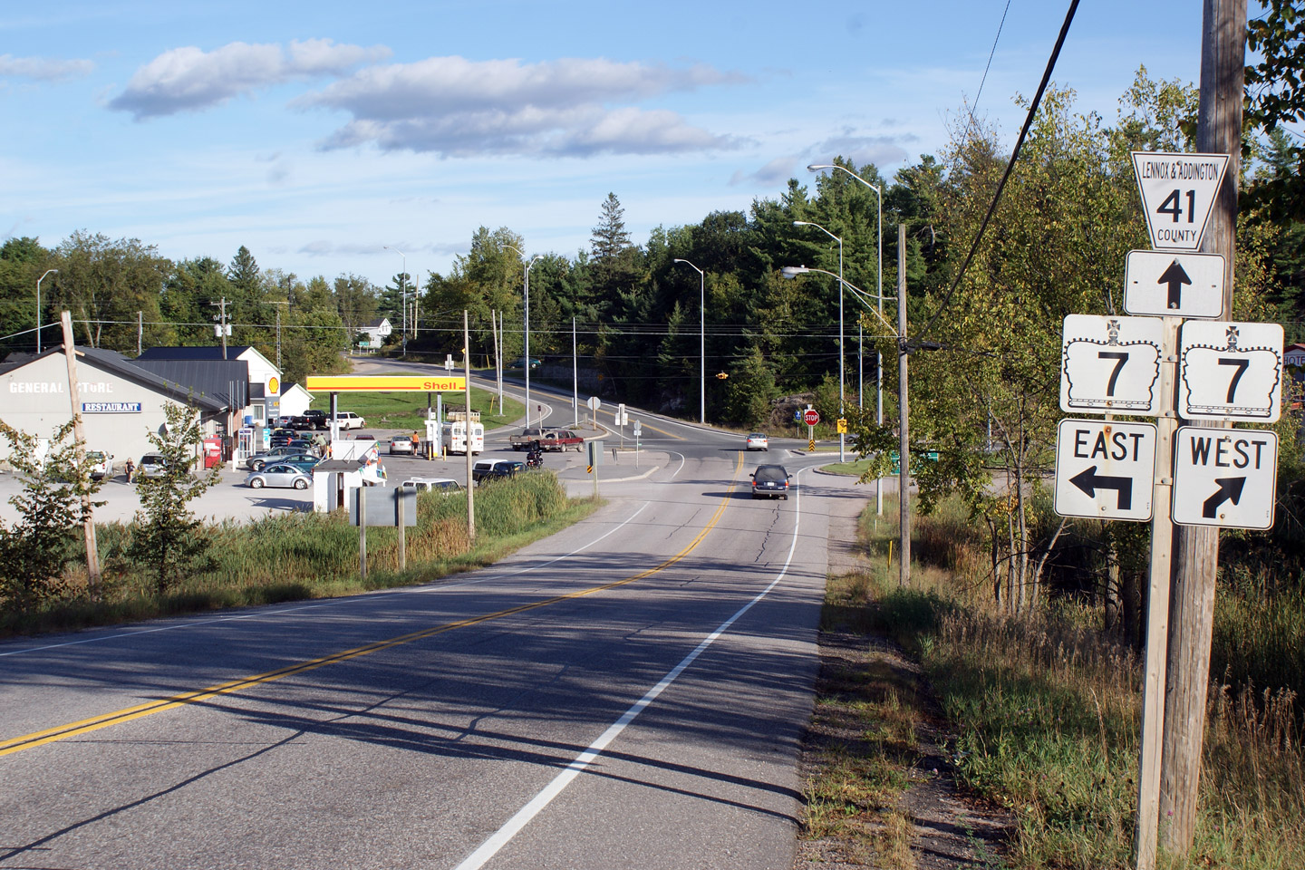
View looking southerly towards the Highway 7
junction at Kaladar. Since 1998, Kaladar has marked the southern
terminus of Highway 41. Kaladar is an interesting terminus point for a
highway since their are no real origin's or destinations within 50km of the
hamlet. Perhaps Highway 41 is viewed somewhat of an extension of
Highway 37.
Photo taken: September 20th, 2009. |
Low
Res
High Res |
Township of Addington Highlands
County of Lennox and Addington |
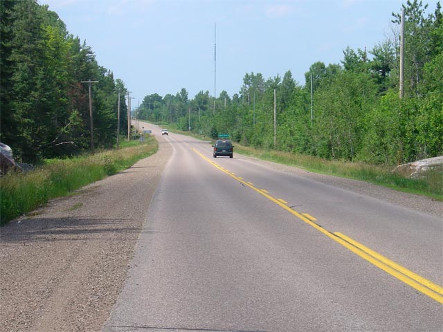
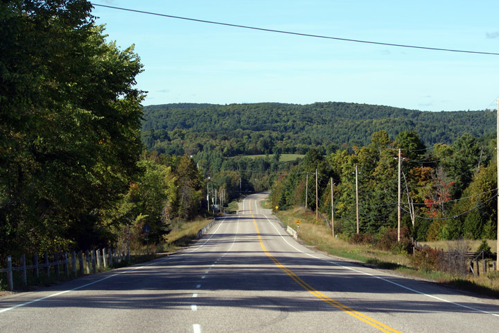
View looking northerly along Highway 41 as the
highway descends down the large hill into Denbigh.
Photo taken: September 20th, 2009. |

Low-res
High-res |
|
Highway 28 leads east from Denbigh
through Bancroft eventually to Highway 7 near Peterborough.
Click here for Highway 28 images. |
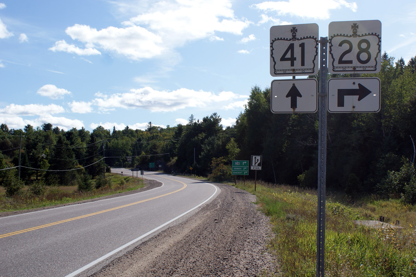
Township of Addington Highlands
County of Lennox and Addington |
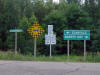
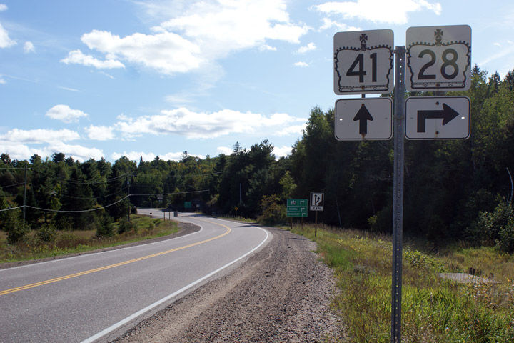
Southbound junction assembly approaching the
Highway 28 junction in Denbigh. Highway 28 is a long highway that heads
west from Highway 41 to Bancroft where it then arc southerly to meet Highway
7 just east of Peterborough.
Photo taken: September 20th, 2009. |

Low
Res
High Res |
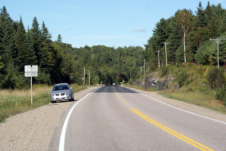
Township of Addington Highlands
County of Lennox and Addington |
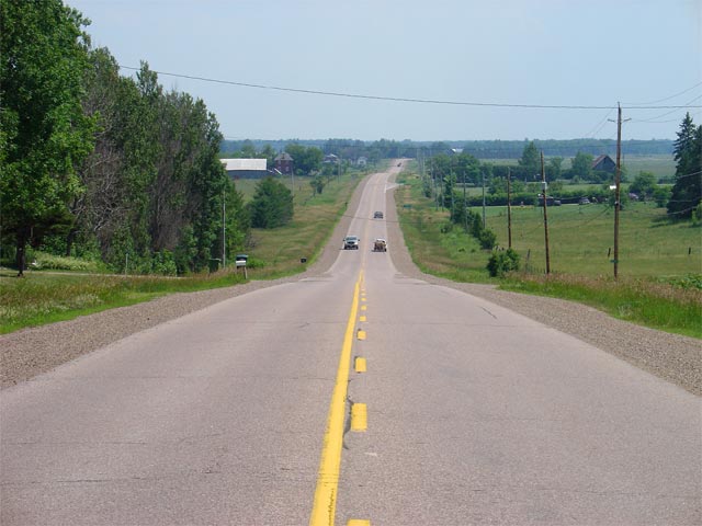
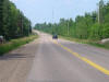
View looking northerly from just north of the
Highway 28 junction in Denbigh. Notice my car, seemingly the central
focus of the photograph.
Photo taken: September 20th, 2009. |
Low-res
High-res |
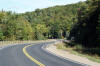
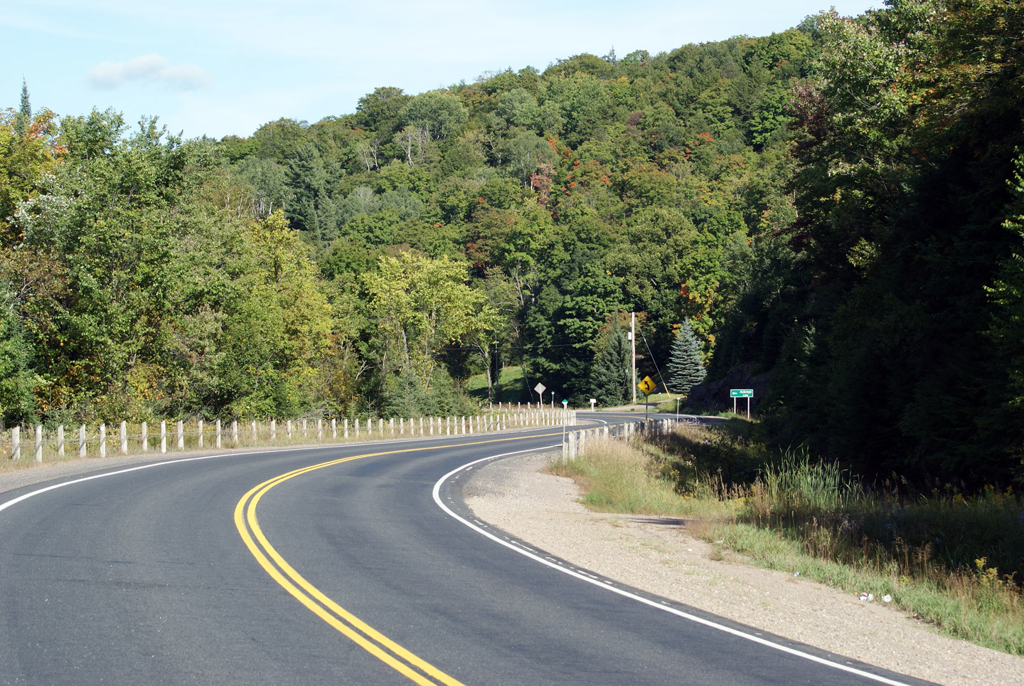
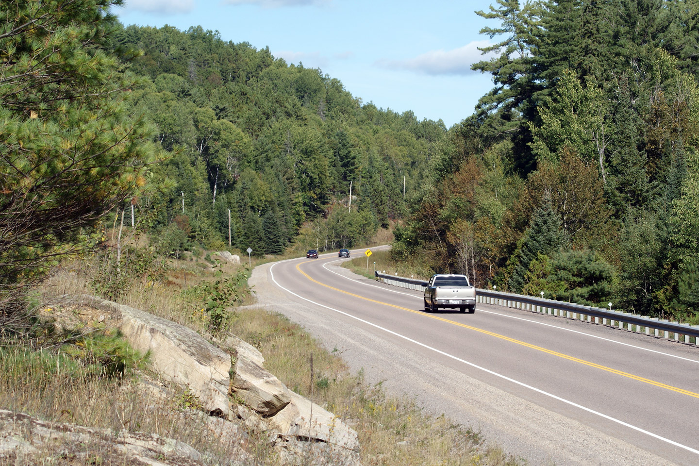
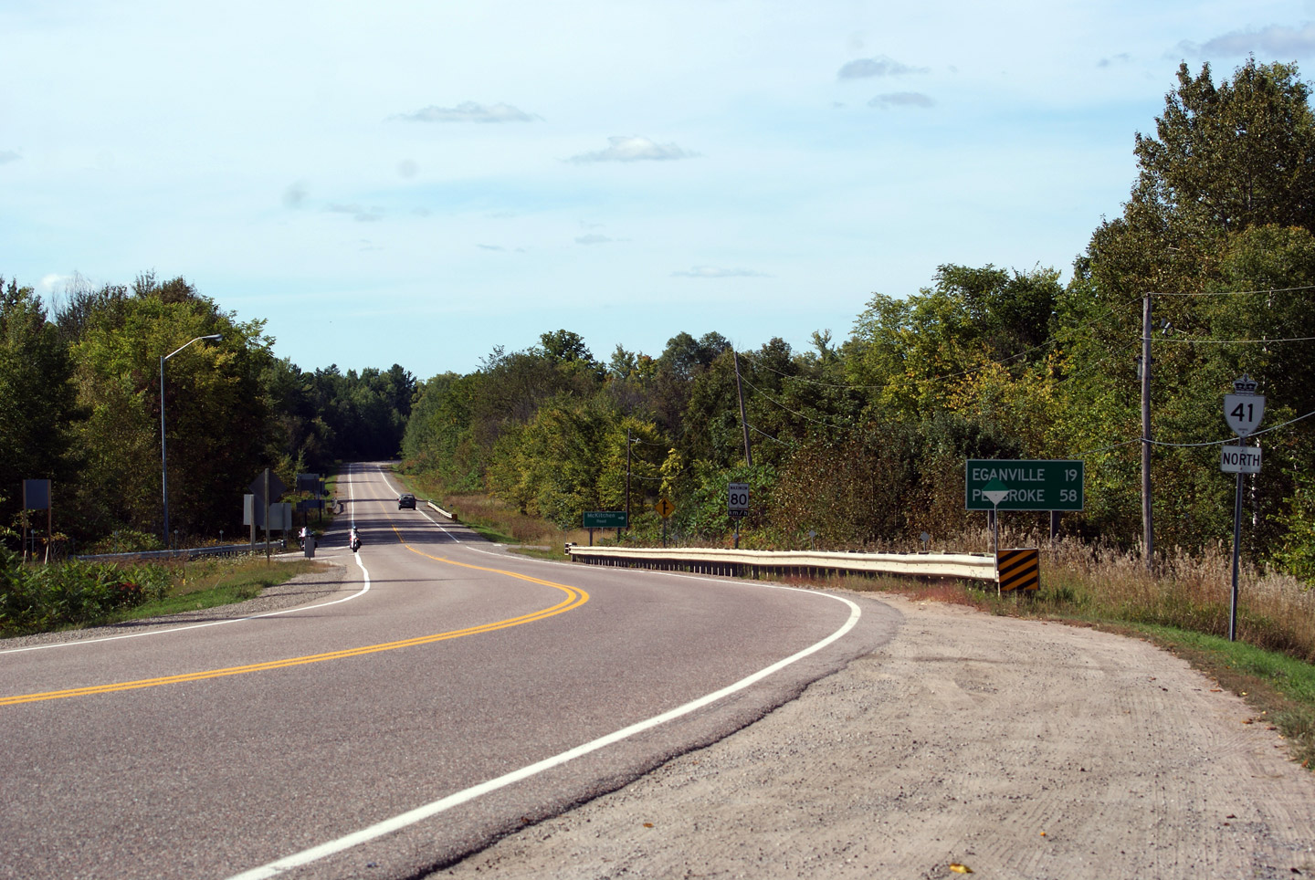
Township of Addington Highlands
County of Lennox and Addington |
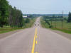
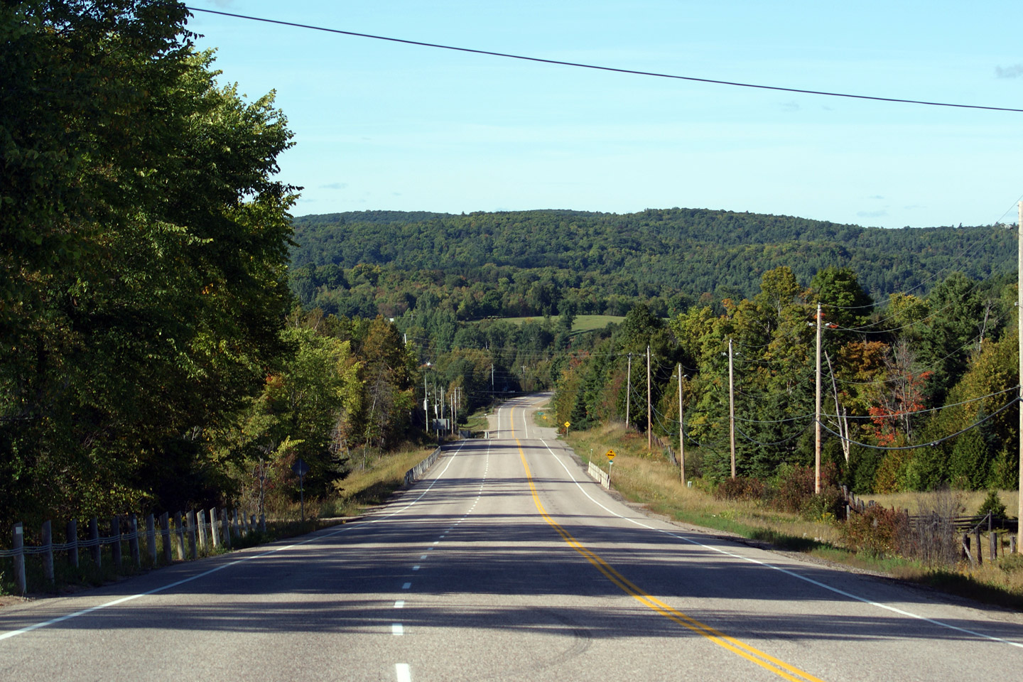
This view looks northerly as Highway 41 passes
through a scenic reversing curve. The day I took this photo was the
first time I had driven Highway 41 between Denbigh and Dacre. It is a very
pleasant drive, the highway winds through a series of large hills and is
impeccably designed and well maintained.
Photo taken: September 20th, 2009. |
Low-res
High-res |
Township of Greater Madawaska
County of Renfrew |
This view looks south across the Madawaska River
Valley. This photo is taken a short distance north (west) of Griffith.
Photo taken: September 20th, 2009. |
Low-res
High-res |
Township of Greater Madawaska
County of Renfrew |
Opposing view from the previous vantage point.
Photo taken: September 20th, 2009. |

Low-res
High-res |
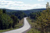
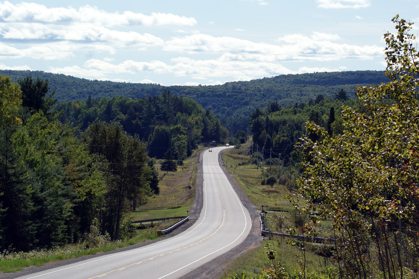
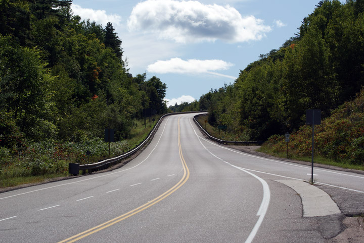
Municipality of Bonnechere Valley
County of Renfrew |
Southerly view from the Highway 132 junction as
Highway 41 ascends Tooey's Hill. There are some considerable hills
along Highway 41 between Dacre and Denbigh.
Photo taken: September 20th, 2009. |

Low-res
High-res |
Municipality of Bonnechere Valley
County of Renfrew |
This view looks northerly along Highway 41
approaching the Highway 132 junction.
Photo taken: September 20th, 2009. |

Low-res
High-res |
|
Highway 40 leads North-South between Blenheim and
Sarnia.
Click here for Highway 132 images. |
Municipality of Bonnechere Valley
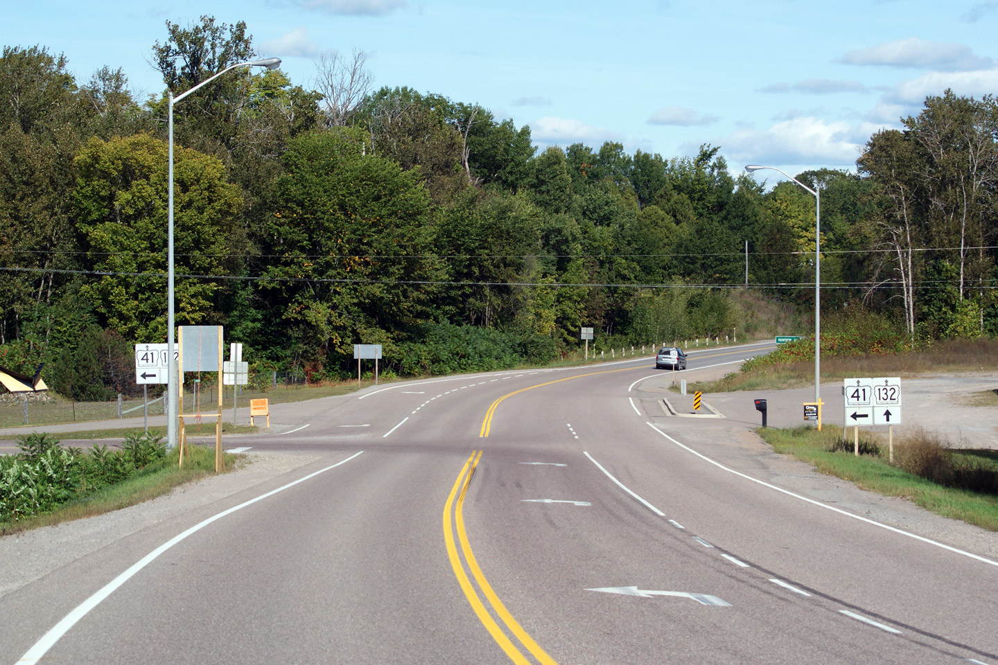
County of Renfrew |
Oversized junction assembly denoting the Highway
132 junction. Several large signboards are needed to direct northbound
traffic along the left hand curve to continue northerly towards Eganville.
Photo taken: September 20th, 2009. |
 Low Res Low Res
High Res |
Municipality of Bonnechere Valley
County of Renfrew |
This view looks northerly standing from the
Highway 132 intersection. North of Highway 132, Highway 41 begins to
pass through more subtle terrain as the Opeongo Mountains (hills) dissipate
into the flatlands of the Upper Ottawa Valley.
Photo taken: September 20th, 2009. |

Low-res
High-res |
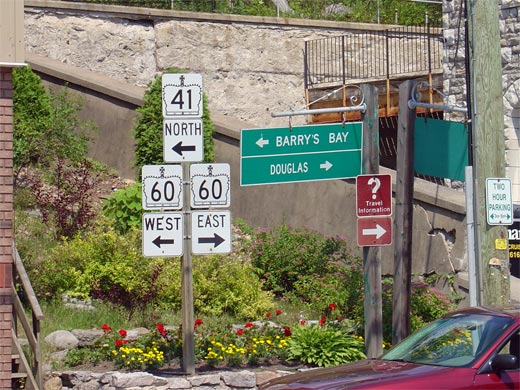
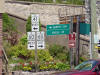
| Municipality of Bonnechere Valley
County of Renfrew |
Junction assembly in Downtown Eganville for the
Highway 41/60 junction. Highway 41
follows Highway 60 north from Eganville for
roughly 4km. At this junction, northbound traffic must turn left to
follow Highway 41.
Click here for Highway 60 Images.
Picture size: 40kb. |
 |
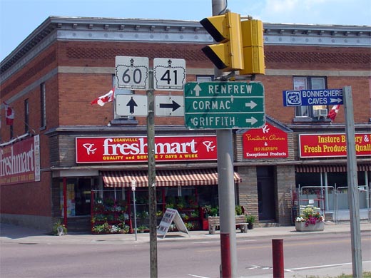
| Municipality of Bonnechere Valley
County or Renfrew |
Southbound junction assembly in Downtown Eganville for the southern split of
Highway's 41 and 60.
Click here for Highway 60
Images. Picture size: 50kb. |
 |
| Township of North Algona
Wilberforce County of Renfrew |
Looking southerly on Highway 41/60
from just north of the Crooked Rapids Road junction. This intersection
is located roughly 2km north of Downtown Eganville. Picture taken: July
4th, 2005. Size: 50kb. |
 |
| Township of North Algona
Wilberforce County of Renfrew |
Junction assembly at the northern junction at
Highway 41/60. As Noted by the
signage, to follow Highway 41 southerly, a left turn is required at this
junction. Click here
for Highway 60 Images. Picture size: 85kb. |
 |
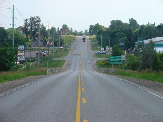
| Township of North Algona
Wilberforce County of Renfrew |
Looking northerly along Highway 41 near Lake Dore. This photo is taken
at the Point Church Drive intersection. Lake Dore is located just
beyond the trees at the bend in the road. Picture taken: July 4th, 2005.
Size: 50kb. |
 |
| Township of North Algona
Wilberforce County of Renfrew |
Looking north along Highway 41 from just north
of the Renfrew Road 13 junction. Picture taken: July 4th, 2005.
Size: 65kb. |
 |
| Township of Laurentian Valley
County of Renfrew |
Looking south along Highway 41 from just south
of the Whitewater Road junction. Picture taken: July 4th, 2005.
Size: 50kb. |
 |


 Low Res
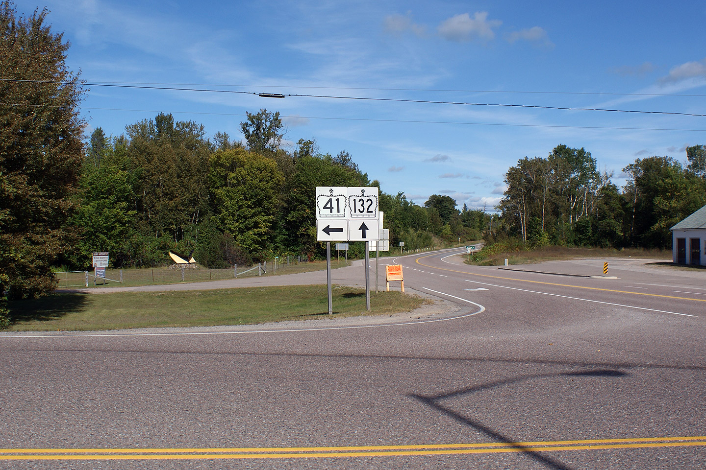
