|
Proper Municipality Name |
Photo Description |
Photo |
|
Pictures taken
from driver's perspective appear offset from centre-line pictures: |
North-
Bound |
South-
Bound |
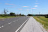
| Municipality of Chatham-Kent |
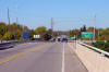
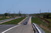
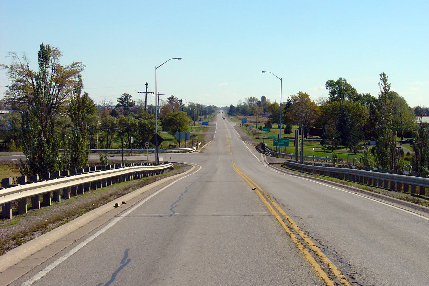
Looking south towards the current southern
terminus of Highway 40 from the Highway 401
overpass in Chatham-Kent. The MTO's jurisdiction of Highway 40 ends
just south of the creek bridge after the
Highway 401 ramps. Before 1998, Highway 40 continued southerly to
Highway 3 in Blenhiem.
Photo taken: October 18th, 2005. |

(720x480)
(1440x960) |
|
Highway 401 is the Macdonald
Cartier Freeway, the principal east-west freeway running through southern
Ontario. Click here for Highway
401 images. |
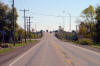
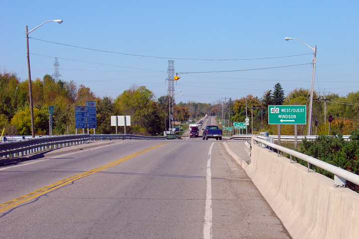
| Municipality of Chatham-Kent |
Looking north along Highway 40 towards the northern
Highway 401 ramps. When this overpass
was originally constructed, it was only designed to carry a minor county
road, and not a busy King's Highway. For this reason, this overpass is
quite narrow and the northern Highway 401
ramps have very poor sightlines at Highway 40.
Photo taken: October 18th, 2005. |
(720x480)
(1440x960) |
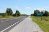
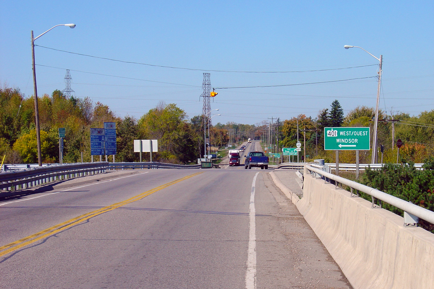
| Municipality of Chatham-Kent |
Looking south along Highway 40 towards
Highway 401. Because of the narrow
Highway 401 overpass and poor sightlines at
the ramp terminals, Highway 40 has an advisory speed of 40km/h at the
Highway 401 interchange.
Photo taken: October 18th, 2005. |
(720x480)
(1440x960) |
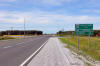
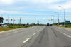
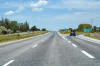
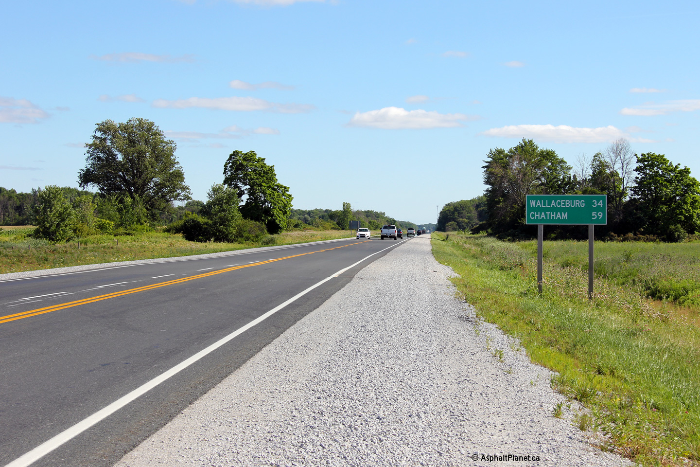
Township of St. Clair
County of Lambton |
Distance sign south of the Highway 80
intersection.
Photo taken: July 24th, 2013. |
(720x480)
(1440x960)
(2400x1600) |
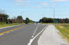
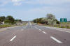
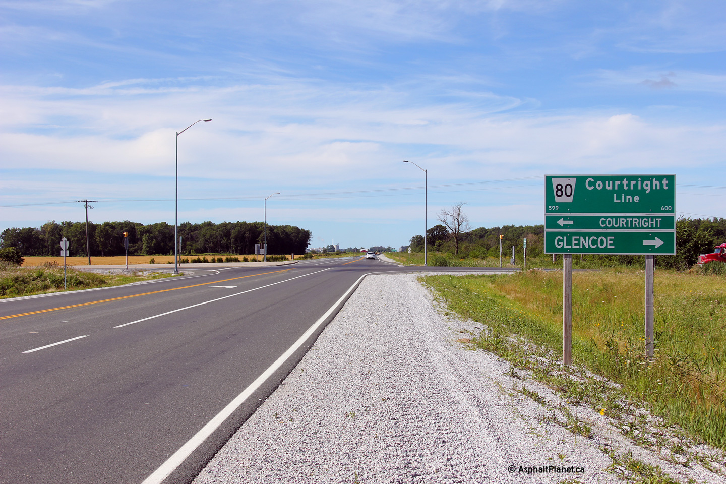
Township of St. Clair
County of Lambton |
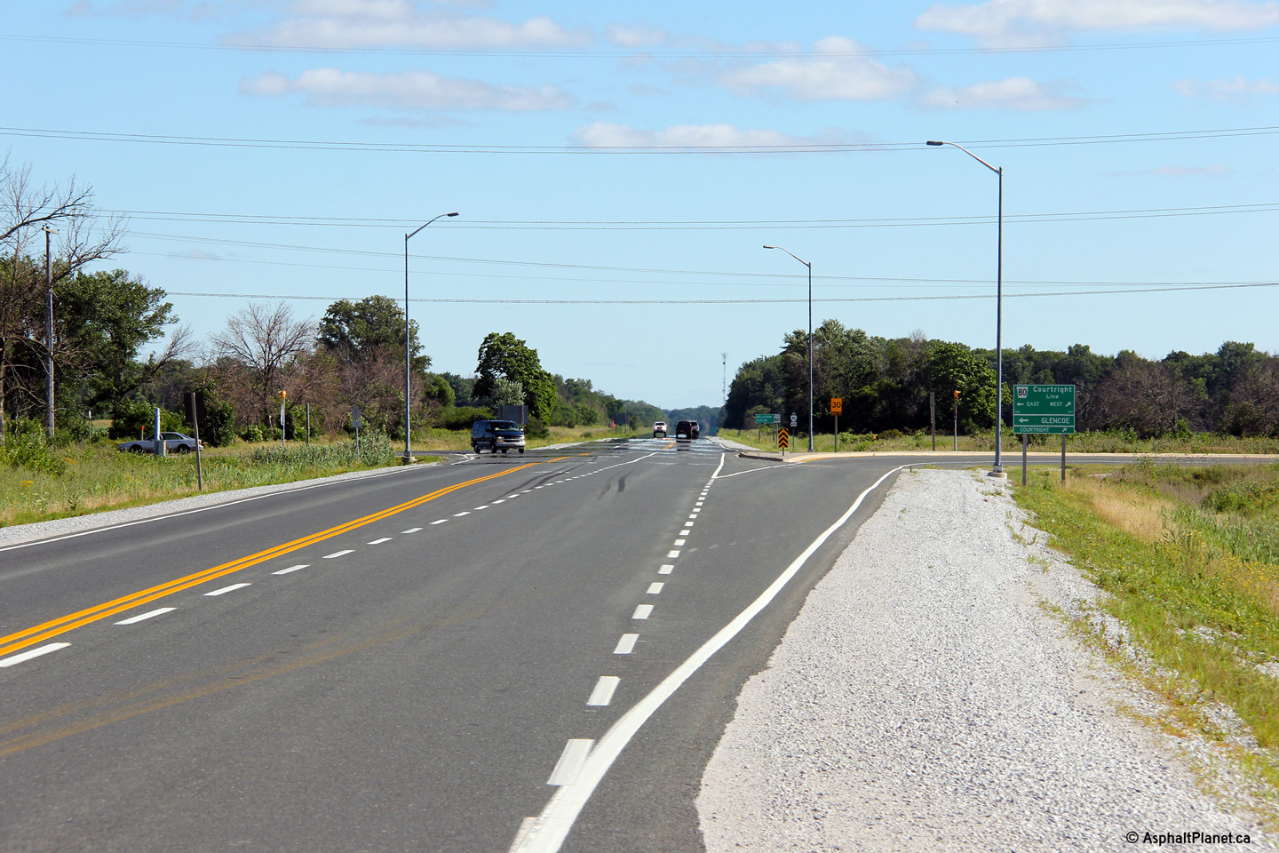
Northerly view approaching the Highway 80
intersection. Highway 80 was transferred in its entirety to the
Counties of Middlesex and Lambton in 1997. There is little
distinguishing Highway 80 from a modern county road.
Photo taken: July 24th, 2013. |
(720x480)
(1440x960)
(2400x1600) |
|
Before it was transferred to the
county, Highway 80 ran easterly from the St. Clair Parkway to Highway 2 at
Glencoe. Click here for Highway
80 images. |
Township of St. Clair
County of Lambton |
Two views looking southerly at the Highway 80 intersection.
Photos taken: July 24th, 2013. |
(720x480)
(1440x960)
(2400x1600)
(720x480)
(1440x960)
(2400x1600) |
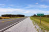
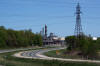
Township of St. Clair
County of Lambton |
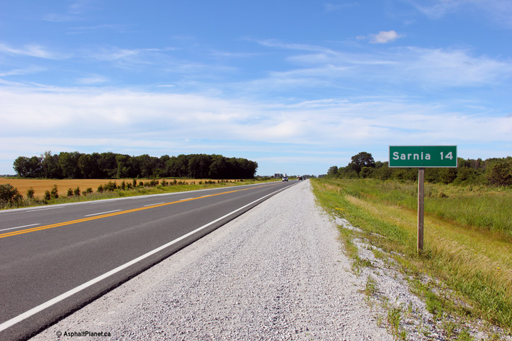
Northbound distance signage for Sarnia just north of the Highway 80
intersection.
Photo taken: July 24th, 2013. |
(720x480)
(1440x960)
(2400x1600) |
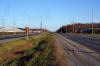
Township of St. Clair
County of Lambton |
View
looking south towards the Moore Road intersection from the CSX Railway spur
underpass.
Photo taken: May 17th, 2009. |
Low-res
High-res |
Township of St. Clair
County of Lambton |
Northerly
view towards Rokeby Line from the CSX Railway spur underpass. Highway
40 is a neat highway, and is one that I don't often travel.
Photo taken: May 17th, 2009. |
Low-res
High-res |
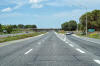
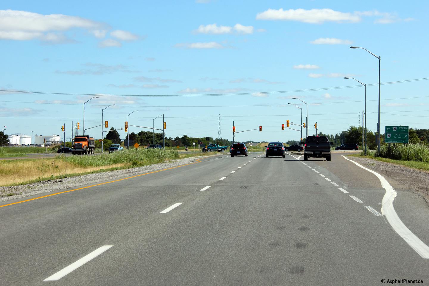
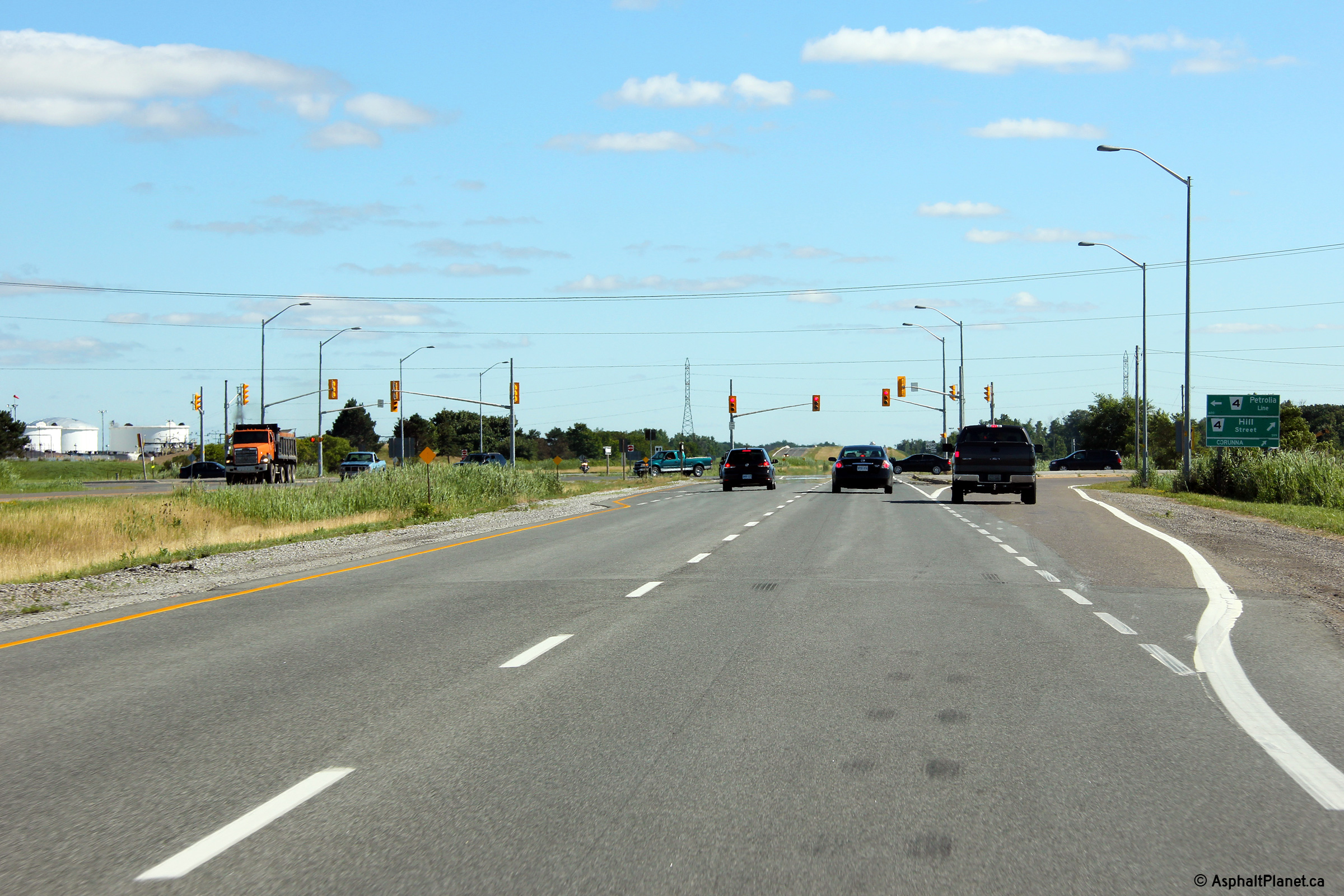
Township of St. Clair
County of Lambton |
Northerly view towards the County Road 4 intersection.
Photo taken: July 24th, 2013. |
(720x480)
(1440x960)
(2400x1600) |
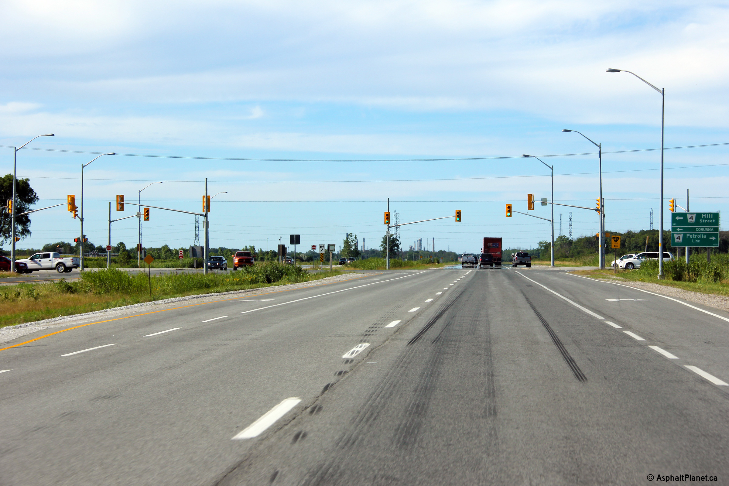
Township of St. Clair
County of Lambton |
This view looks southerly approaching the County Road 4 intersection.
Photo taken: July 24th, 2013. |

(720x480)
(1440x960)
(2400x1600) |
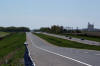
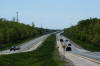
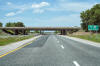
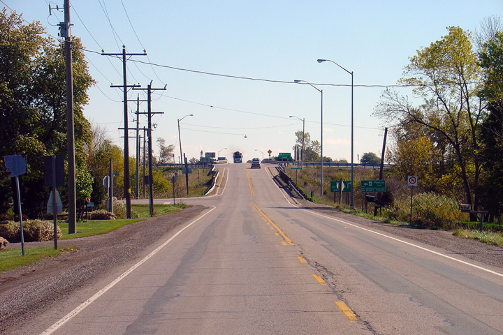
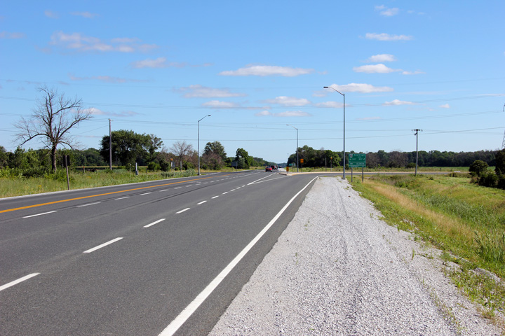
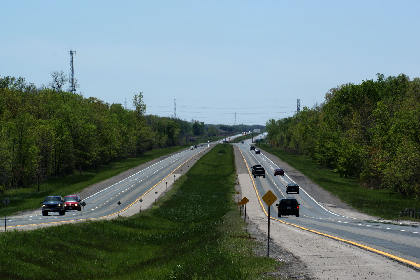
City of Sarnia
County of Lambton |
View
looking southerly from the CN Railway underpass. Highway 40 is a
divided highway for roughly 8km south of Churchill Line and urban Sarnia.
Photo taken: May 17th, 2009. |
Low-res
High-res |
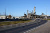
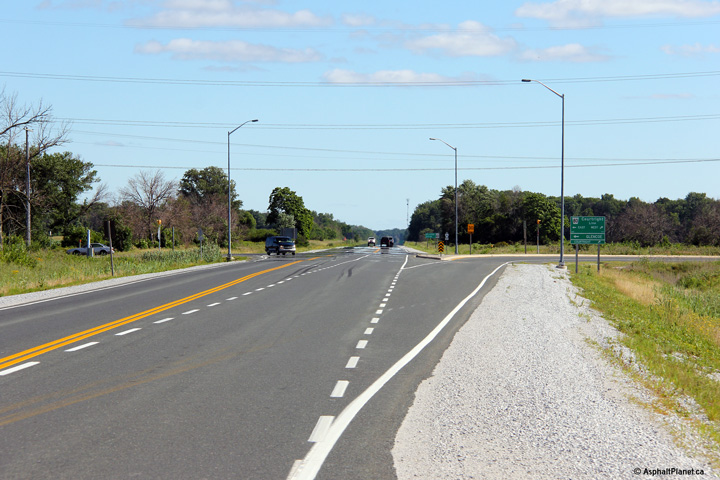
City of Sarnia
County of Lambton |
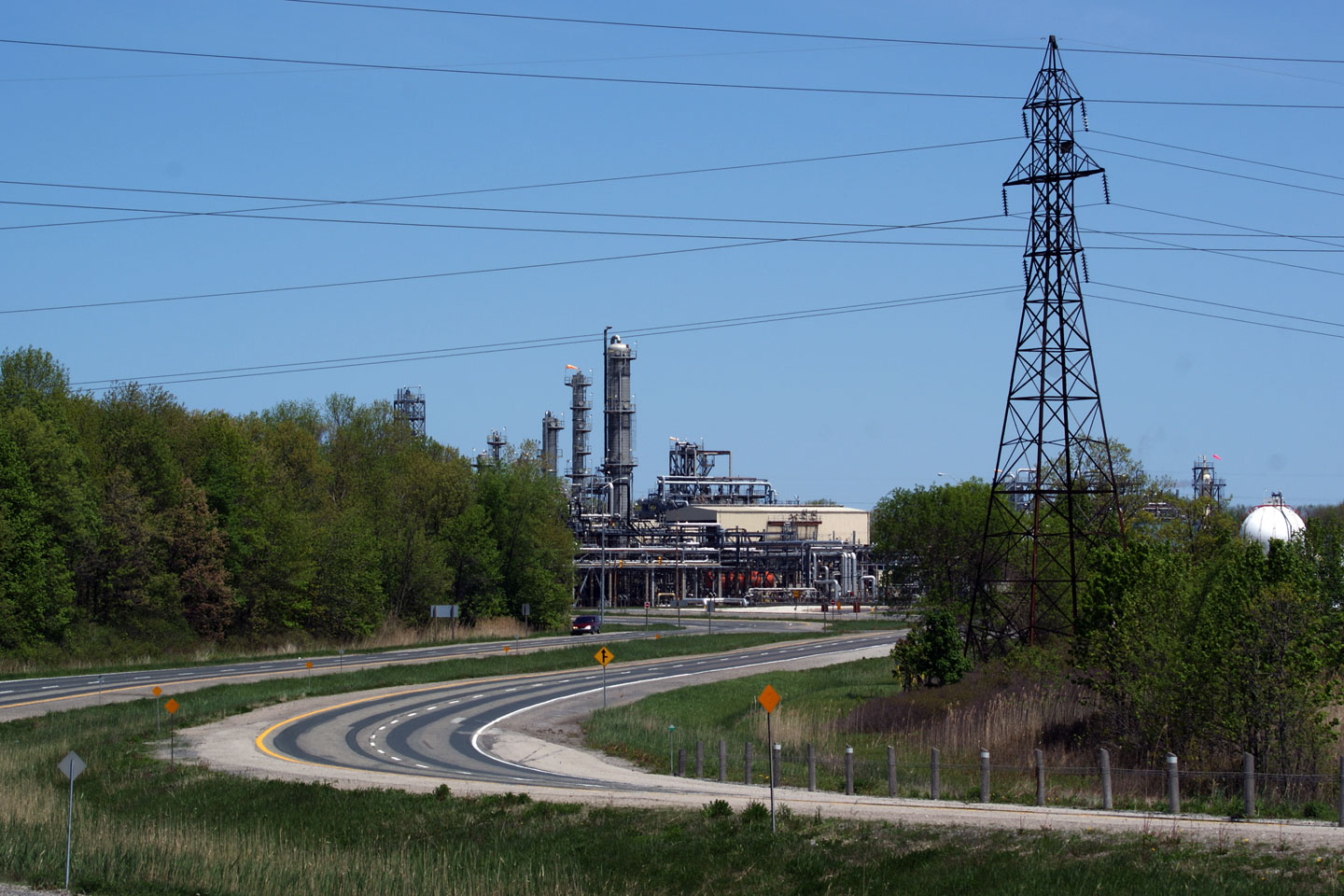
View
looking northerly along Highway 40 towards the Churchill Line intersection.
Sarnia is a very industrial city, filled with chemical plants and
refineries.
Photo taken: May 17th, 2009. |
Low-res
High-res |
City of Sarnia
County of Lambton |
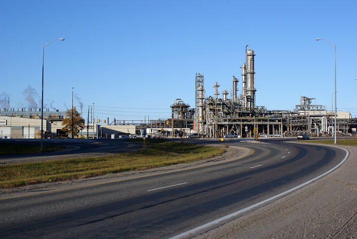
View looking northerly as Highway 40 meets Churchill Line. As noted in
the caption above, Sarnia is a very industrial city. The St. Clair
River Valley is dubbed 'Chemical Valley' by the residents of both sides of
the river due to its high volume of chemical refineries.
Photo taken: November 1st, 2008. |
Low-res
High-res |
City of Sarnia
County of Lambton |
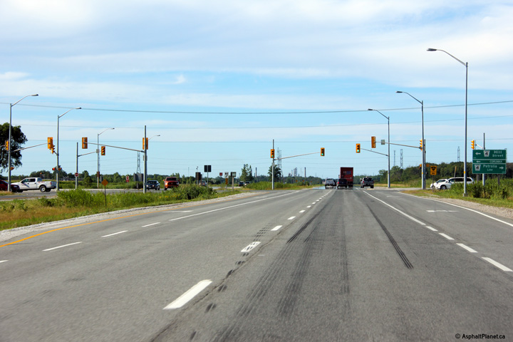
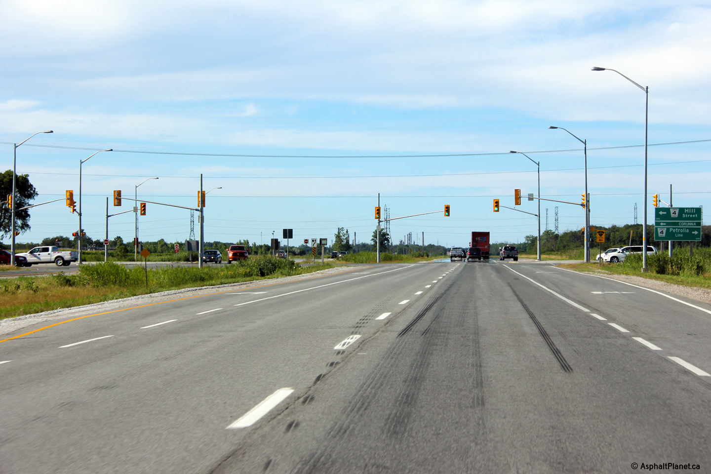
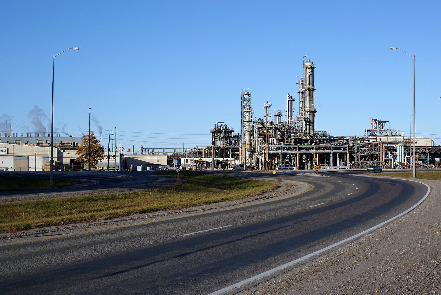
View looking easterly from the Churchill Line intersection. Highway 40
follows a by-pass around the south and east sides of the City of Sarnia
towards Highway 402.
Photo taken: November 1st, 2008. |
Low-res
High-res |
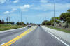
City of Sarnia
County of Lambton |
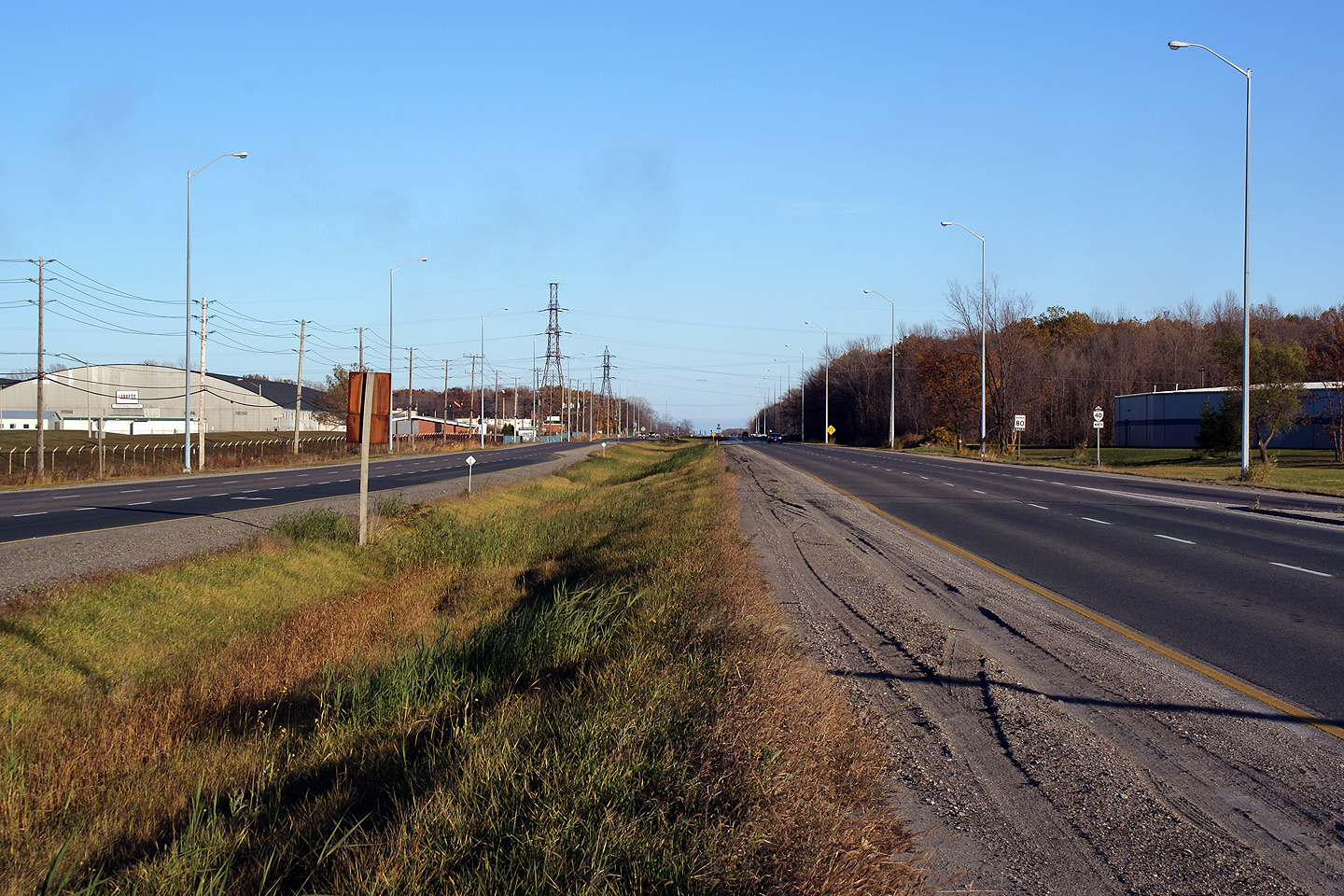
Two views looking northerly just north of the Wellington Street
intersection. Highway 40 widens to a four lane highway north of
Wellington Street.
Photos taken: June 10th, 2017. |
(720x480)
(1440x960)
(2400x1600)
(720x480)
(1440x960)
(2400x1600) |
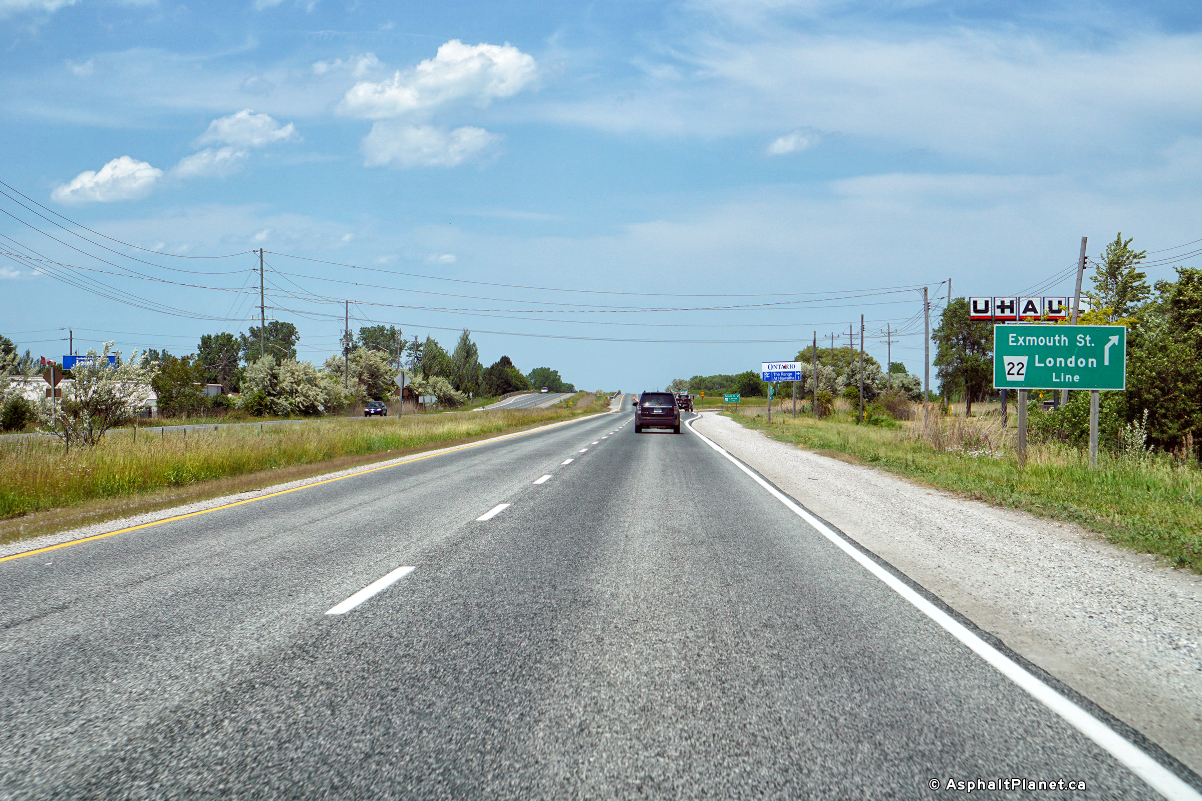
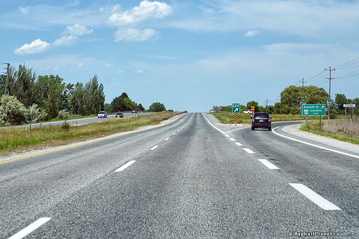
City of Sarnia
County of Lambton |
Northbound advanced signage for the County Road 22 (former Highway 7)
interchange.
Photo taken: June 10th, 2017. |
 (720x480) (720x480)
(1440x960)
(2400x1600) |
City of Sarnia
County of Lambton |
Signage at the northbound off-ramp to County Road 22 (former Highway 7).
Photo taken: June 10th, 2017. |
 (720x480) (720x480)
(1440x960)
(2400x1600) |
City of Sarnia
County of Lambton |
The on-ramp to the northbound lanes of Highway quickly departs as the ramp
to the eastbound lanes of Highway 402.
Photo taken: June 10th, 2017. |
 (720x480) (720x480)
(1440x960)
(2400x1600) |
City of Sarnia
County of Lambton |
Northerly view as the ramp to the eastbound side of Highway 402 departs from
Highway 40 north.
Photo taken: June 10th, 2017. |
 (720x480) (720x480)
(1440x960)
(2400x1600) |
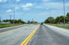
City of Sarnia
County of Lambton |
Northerly view approaching the Highway 402 grade separations. Traffic
wishing to continue westerly along Highway 402 towards the Blue Water Bridge
must turn left just beyond the twin overpasses.
Photo taken: June 10th, 2017. |
 (720x480) (720x480)
(1440x960)
(2400x1600) |
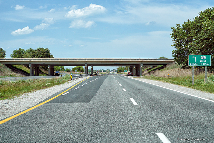
|
Highway 40 ends at Highway 402
just east of Sarnia's urban area. Highway 402 runs from the US Border
east to Highway 401 at London.
Click here for Highway
402 images. |


 (720x480)
 (720x480)
 (720x480)
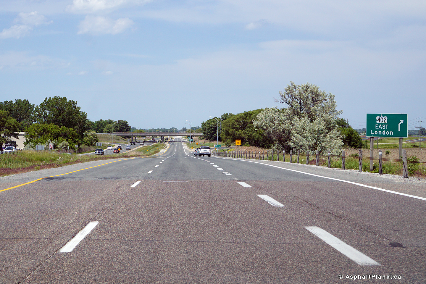
 (720x480)
 (720x480)